Flint Peak, Academy BM, and the Eagle Rock

Archived TRs for ranges in California.
Post Reply
User avatar
Sean
Posts: 3749
Joined: Wed Jul 27, 2011 12:32 pm

Post by Sean »

Yesterday I decided to hit three spots in the Linda Vista/San Rafael Hills area above Pasadena.

Dima mentioned once that he had done Flint Peak via the north ridge, which he calls Antler Ridge.

Image

I won't give exact directions to the "trailhead", but if you find this spot,

Image

then you are doing okay.

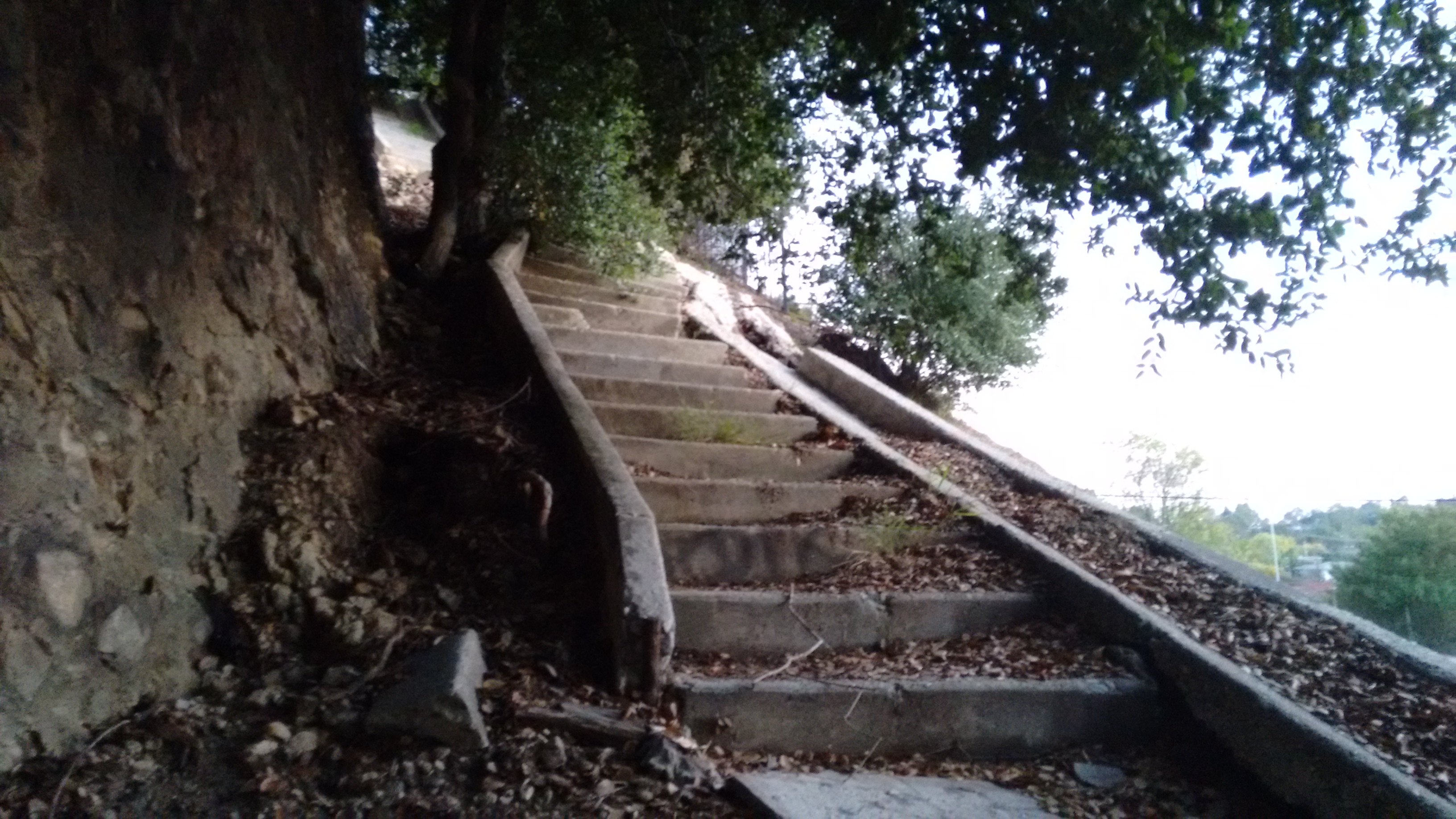
The "trail" consists of a mixture of animal and human paths, first wrapping around the shaded left side of the ridge, then steeply switchbacking through the brush to the ridgetop. The vegetation could be pretty thick, but thankfully it offered brief respites here and there and didn't continue forever. I followed signs of an old trail and prior bushwhackers to make the going easier.

Image

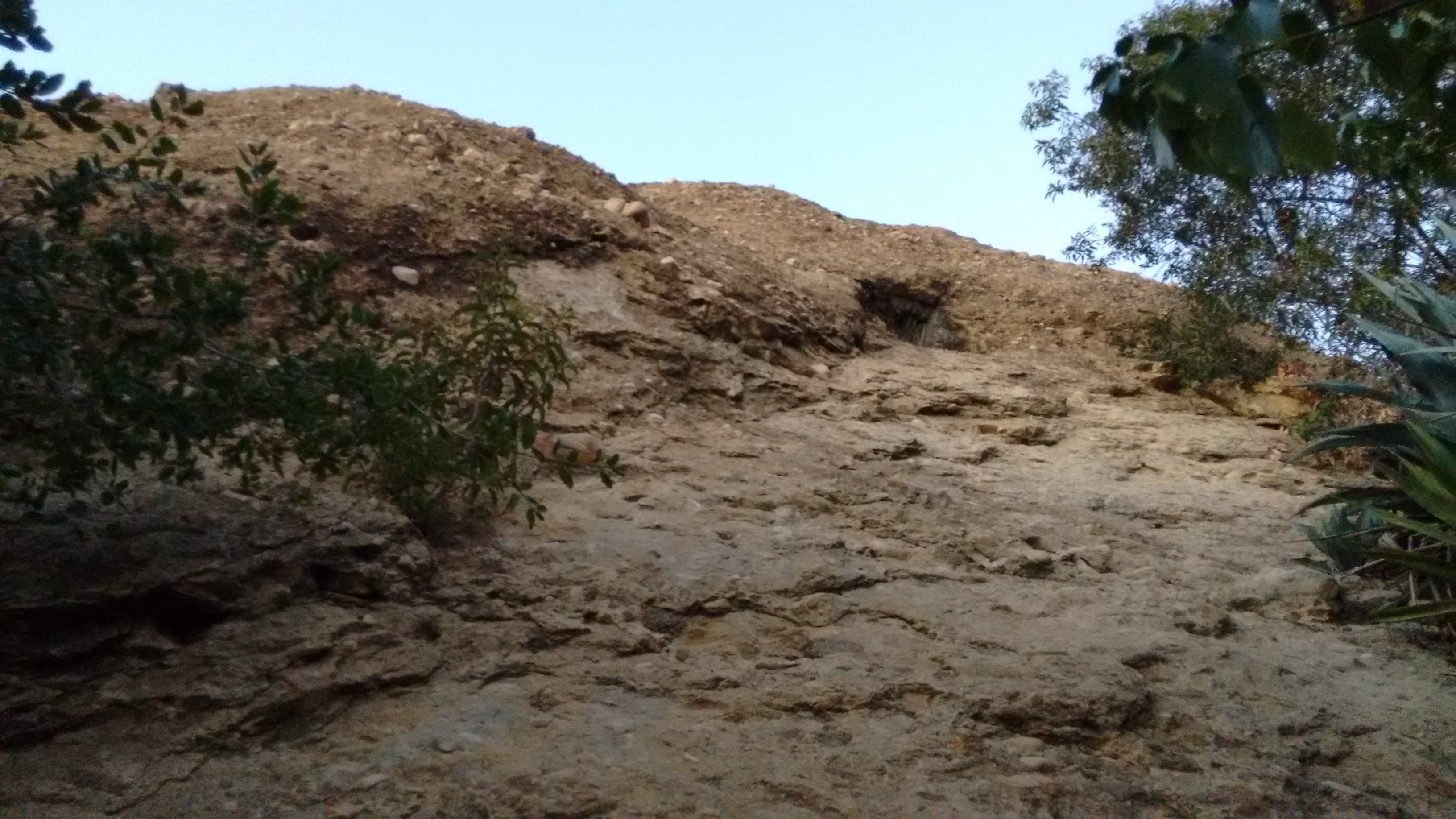
After thrashing about, the route became an open firebreak.

Image

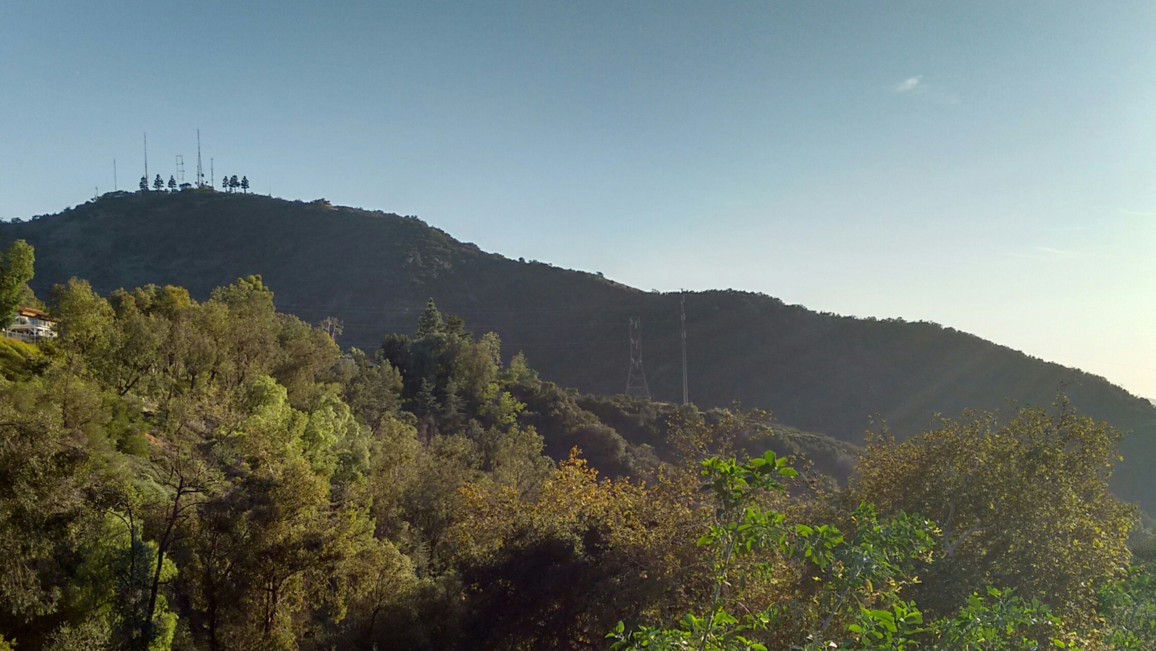
I had a clear northeastern view toward the San Gabriel Peak neighborhood.

Image

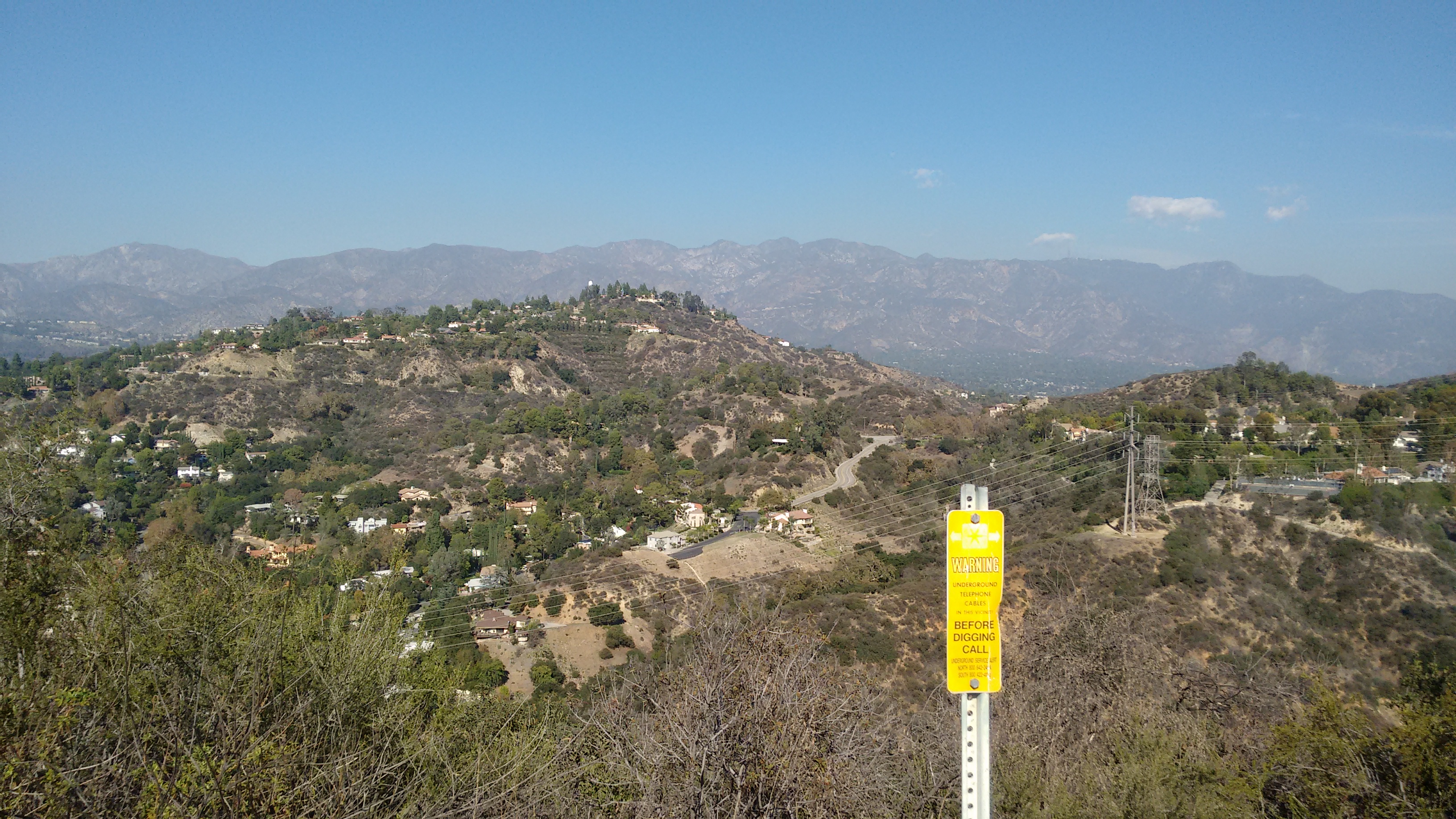
The firebreak was steep but easygoing, and soon I reached Flint Peak with an entourage of large birds circling above me.

Image

Image

After Flint, I drove northeast to the formerly named Hodge's Peak, which is now fully developed with big, beautiful houses on the summit and the Flintridge Academy of the Sacred Heart on the eastern shoulder.

Image
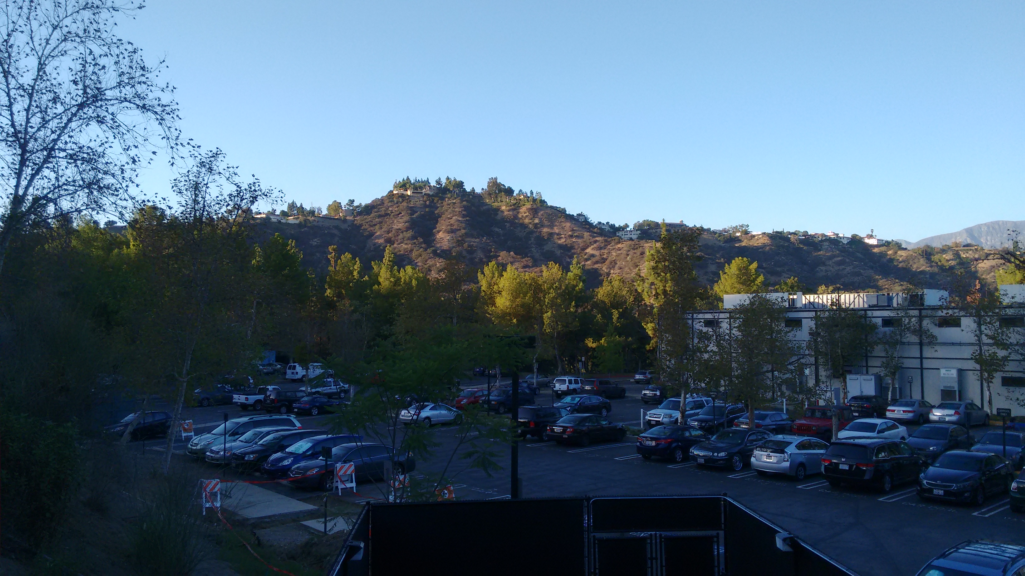
(Viewing Hodge's Peak from the Art Center College campus)

Image
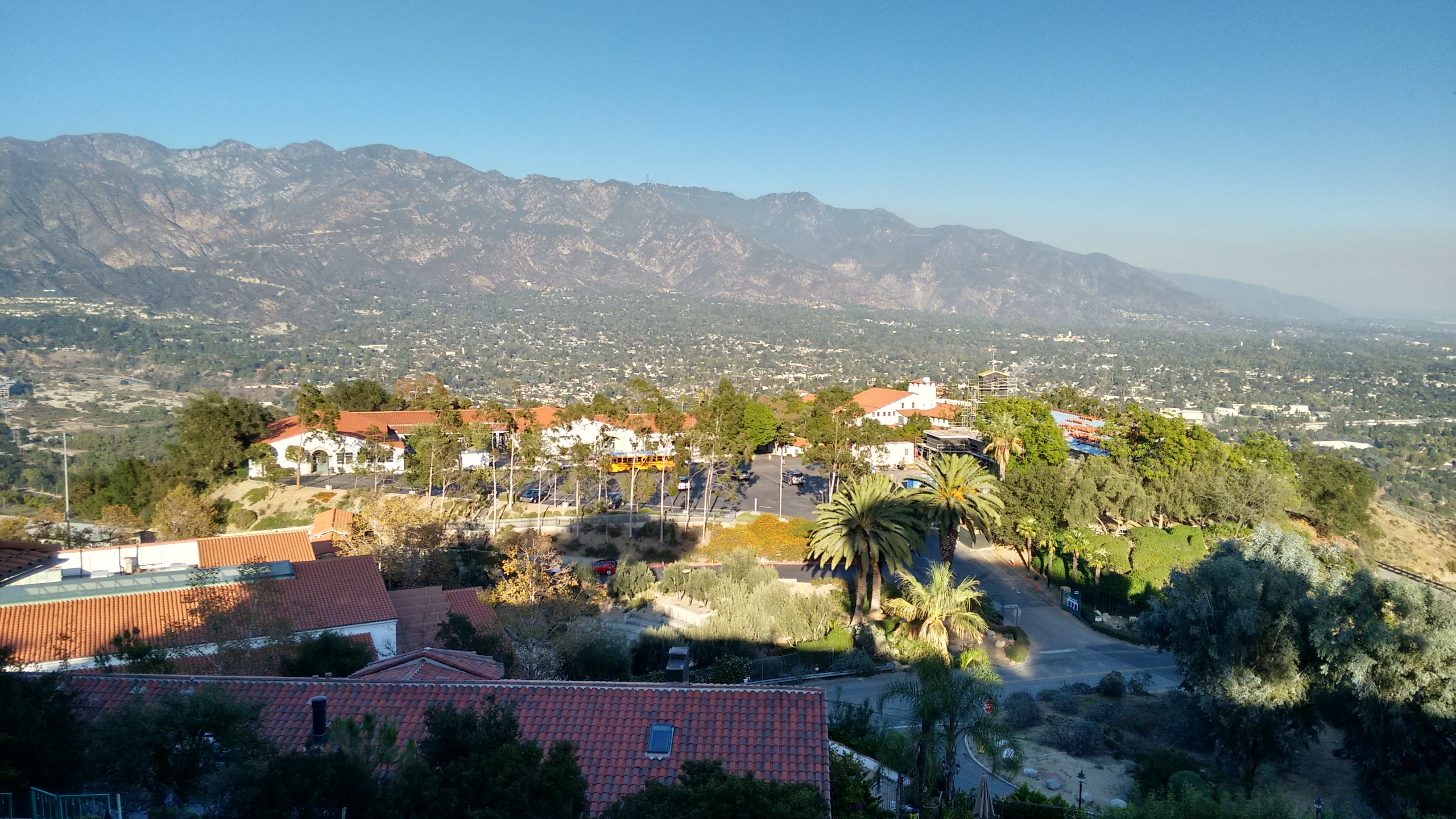
(View of Flintridge Academy from Hodge's Peak)

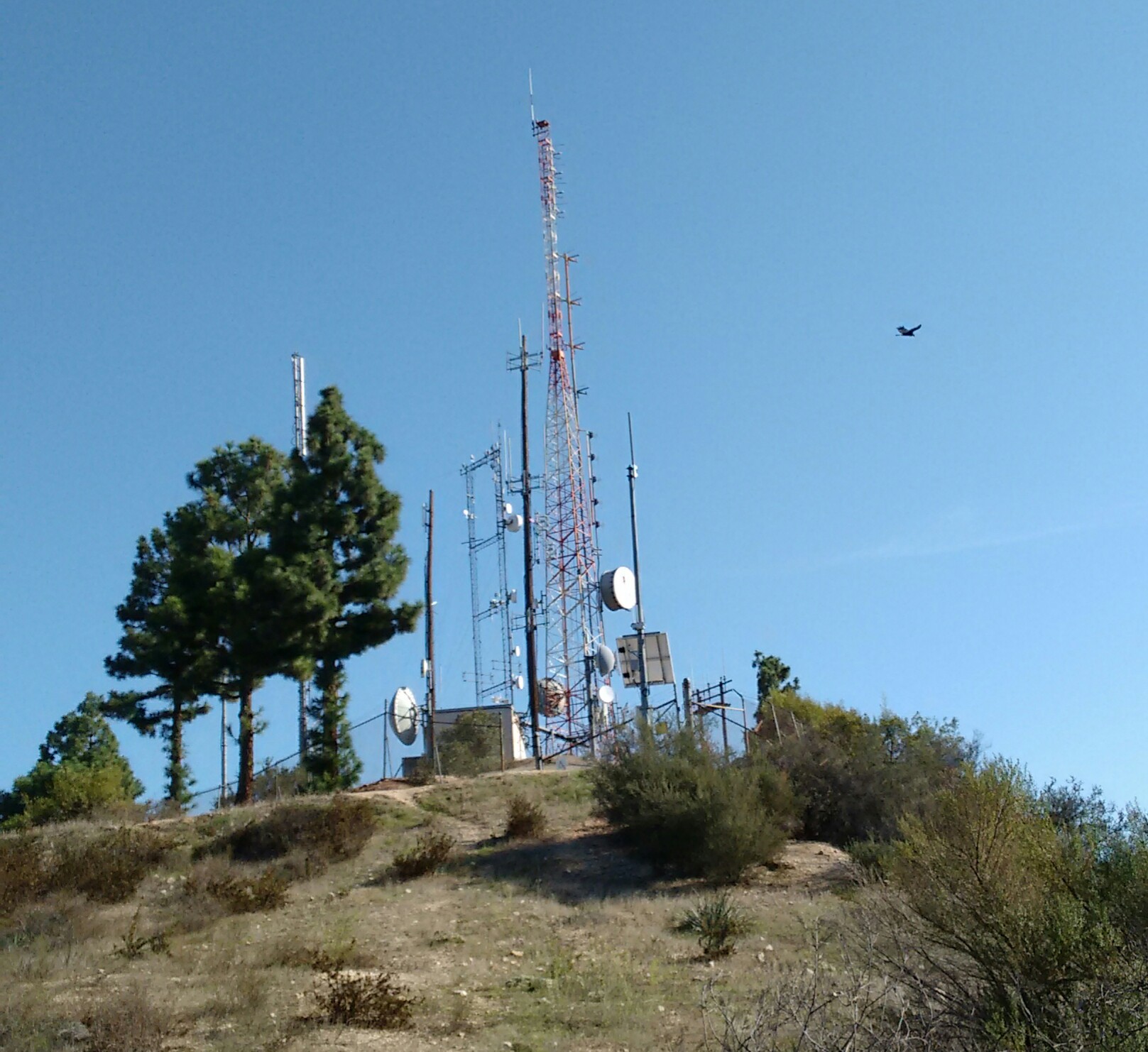
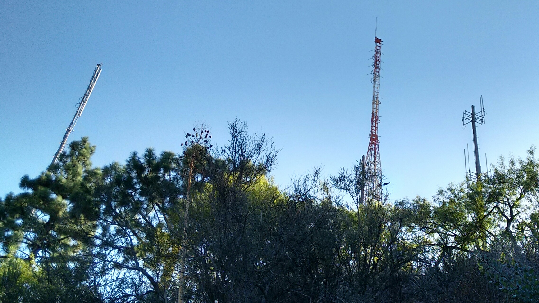
I drove to Hodge's on account of historical curiosity. But also to find the summit benchmark stamped "ACADEMY."

Image

This reference mark points to the triangulation station mark nearby. The station mark was more weathered and harder to read.

To reach these marks requires walking a short distance along a "private road," but I didn't encounter any hostile property owners during my brief visit.

Next up was a trip to the Eagle Rock.

Image

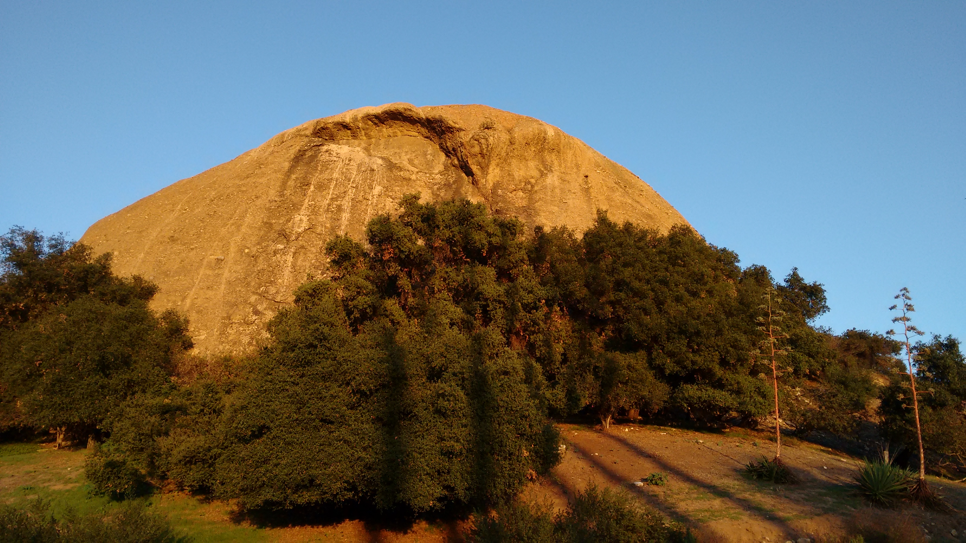
The Eagle Rock Canyon Trail climbs the slopes north of the Rock and provides a decent vista point of the area, plus a side-view of the Rock.

Image

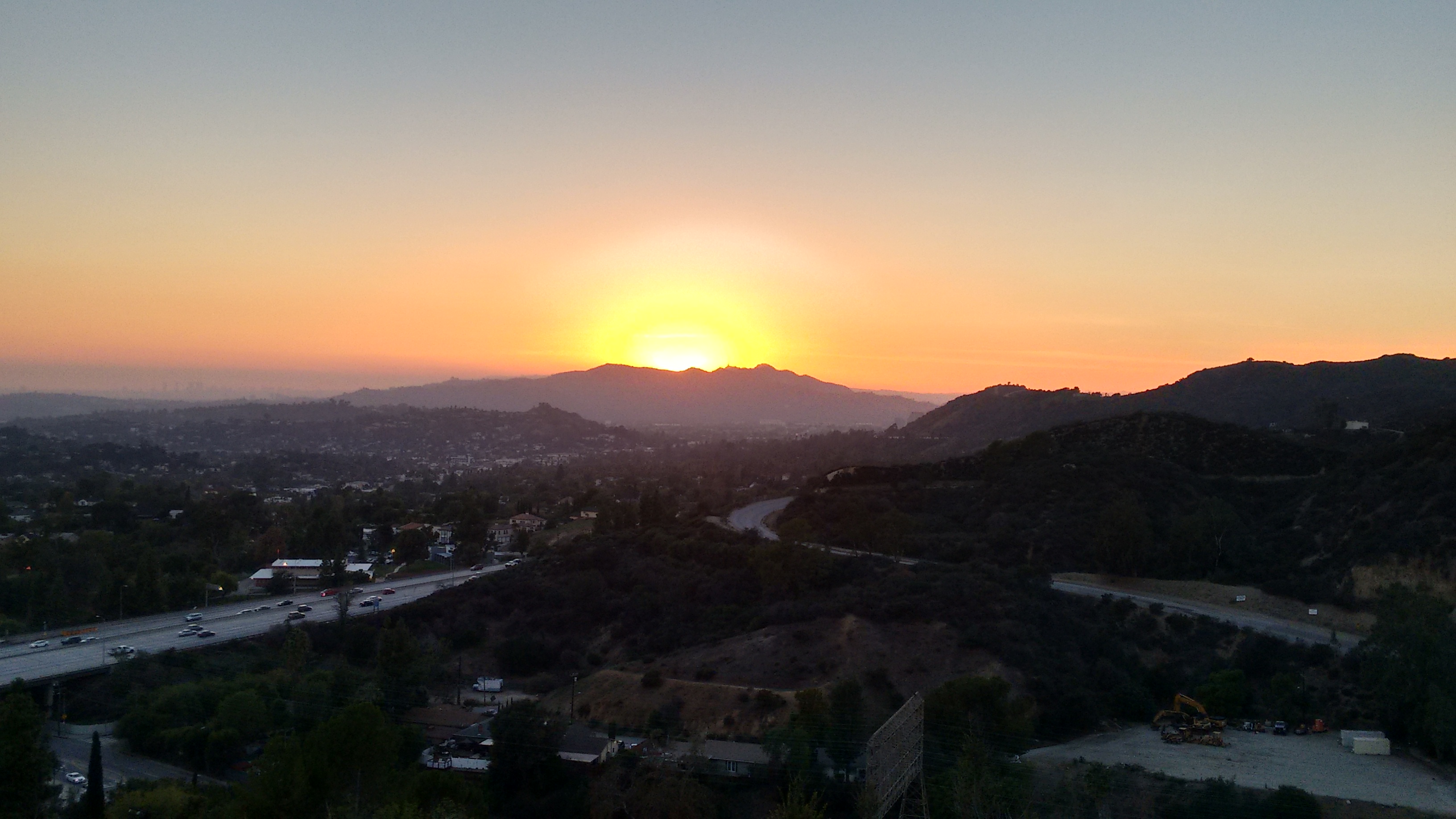
I watched the sunset from the top of this trail and called it a day ...

Image

... or did I?

Image
User avatar
walker
Posts: 248
Joined: Mon Apr 08, 2013 11:14 pm

Post by walker »

Nice one, Sean.

Hmm, I wonder if we're neighbors. Those are a couple of my "I've only got 40 minutes" spots to go for a walk.

There's a strange patchwork of open space parcels scattered around the San Rafael Hills. Seems that Glendale has penciled in the Flint Peak area as a "proposed trail corridor study area":

http://www.ci.glendale.ca.us/parks/pdf/ ... lHills.pdf

Those steps beside the Eagle Rock must be a relic from the days of the park that used to reside where the 134 fwy Figueroa offramp is now. In the postcard image below, you can see a few individuals standing atop the rock. They must have used that staircase to get up there.

http://myriadsmallthings.org/myriadpage1.html
User avatar
dima
Posts: 1320
Joined: Wed Feb 12, 2014 1:35 am

Post by dima »

walker wrote: Those are a couple of my "I've only got 40 minutes" spots to go for a walk.
So you've gone up the ridge to Flint Peak? Find any antlers? I've gone there quite a bit, and never saw a soul.
walker wrote: There's a strange patchwork of open space parcels scattered around the San Rafael Hills. Seems that Glendale has penciled in the Flint Peak area as a "proposed trail corridor study area":

http://www.ci.glendale.ca.us/parks/pdf/ ... lHills.pdf
It'd be great if the fire roads around the landfill were opened up. They connect the area well, and have nice views (away from the landfill). I generally only go up there on Sundays to make sure nobody's around to yell at you.
walker wrote: Those steps beside the Eagle Rock must be a relic from the days of the park that used to reside where the 134 fwy Figueroa offramp is now. In the postcard image below, you can see a few individuals standing atop the rock. They must have used that staircase to get up there.
Yep. Before the fence went up about 5 years ago, the stairs led to a short and easy climb to the top of the rock. I'm told the fence can now be squeezed-through, so maybe that's doable again.
User avatar
Sean
Posts: 3749
Joined: Wed Jul 27, 2011 12:32 pm

Post by Sean »

I live in Monterey Park, but I do a lot of work in Glendale, Pasadena, and Burbank, so I'm frequently looking for short after-work hikes in those areas. That's interesting about the trail corridor going around the north side of Flint. You could then fairly easily traverse the entire area.

I don't want to give away too much info, but clearly the fence is not adequate for the job at Eagle Rock.

Image
User avatar
walker
Posts: 248
Joined: Mon Apr 08, 2013 11:14 pm

Post by walker »

So you've gone up the ridge to Flint Peak? Find any antlers? I've gone there quite a bit, and never saw a soul.
I've never been up the fire break to Flint Peak but I've reached it via the access road that contours in from the east. I'll have to go give that fire break a looksee. Sounds like a nice alternative.

If the gates were open to scoot past the landfill, that would really open up some nice bicycle loop possibilities in the area.

I like the network of fire roads that accesses the ridgeline between the 134 fwy and Scholl Canyon, great views along a nice rolling ridge and relatively quick to get to. I think this is private land that hit some kind of development snafu. The views sure are great.

Since the San Rafael hills are managed by Pasadena, Glendale, Northeast LA, La Canada/Flintridge and I guess LA county for the landfill and power installation, it's interesting to see the different approaches taken in each segment. I guess they each have a master plan for the area, but they don't necessarily coordinate their efforts.

La Canada has managed to implement a network of horse and hiking trails connecting the Cherry Canyon and Descanso area to the Angeles NF and even down to the arroyo/devil's gate area.

Pasadena purchased 20 acres in upper Annandale canyon and plans to provide trails and some trailhead parking maybe eventually building a connector trail to the Eagle Rock loop trail, but that may be years away. There is an interesting segment of unpaved roadway, Woodcliff Rd. that contours above the upper part of that canyon as well.

It seems like all the pieces are there to connect the dots for a walking route from the city to the mountains if a few little links could be provided.
Post Reply