Eric and I started at Islip Saddle at 9:38 and hit Mt. Islip. Mt. Hawkins, Throop Peak, Mt. Burnham, and Mt. Baden Powell. We started back by reversing the route and then taking the trail to Dawson Saddle just before Throop. We finished off with 5.5 miles on the road in about 80 minutes. We were back at the car at 4:14 after a total of 18.2 miles. It was surprisingly cool, mostly in the 60s. After eating lunch on the summit of Baden Powell, we were actually chilly. Welcome feeling!
Pictures
Islip-Baden Powell 7-14-07
-
FIGHT ON
You missed all that messed up area being repaired. And what if that tent was still there??
-
JMunaretto
- Posts: 370
- Joined: Thu Feb 07, 2008 11:03 am
Nice!
I'm actually set on doing this hike this Saturday, so good TR timing.
I'm just curious, what was the benefit of heading down to Dawson then following the 2, just to change it up?

I'm guessing it didn't work?
I'm actually set on doing this hike this Saturday, so good TR timing.
I'm just curious, what was the benefit of heading down to Dawson then following the 2, just to change it up?

I'm guessing it didn't work?
-
AlanK

- Posts: 1069
- Joined: Thu Sep 27, 2007 9:28 pm
We originally contemplated taking the endless switchbacks down to Vincent Gap and then hiking back on the entire closed highway section, giving us a chance to check out the work. The work was loud and there was a pretty big crew, so we decided to stay out of the way. Plus, neither the switchbacks nor the uphill slog on the highway seemed very attractive. On the way back on the trail, we thought we'd check out the trail to Dawson Saddle, which we have never been on. the trip down the highway went quickly. It was basically a whim.
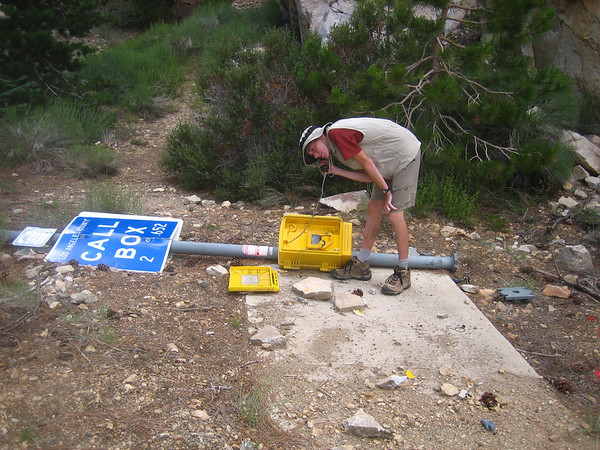
Oh, yeah. You were right about the phone.
Oh, yeah. You were right about the phone.
-
Hikin_Jim

- Posts: 4688
- Joined: Thu Sep 27, 2007 9:04 pm
Interesting sign at Dawson Saddle about the Boy Scouts building the trail in 1982. I've hiked that trail a time or two, but I don't remember that sign.
Thanks also for the nice shot of Cortelyou Spring. It's been closed so long through that stretch that I'm starting to forget what it looks like.
Thanks also for the nice shot of Cortelyou Spring. It's been closed so long through that stretch that I'm starting to forget what it looks like.
-
JMunaretto
- Posts: 370
- Joined: Thu Feb 07, 2008 11:03 am
AlanK,
If you returned the way you came, what do you think the accumulated gain would be? ~ 5500 ft?
If you returned the way you came, what do you think the accumulated gain would be? ~ 5500 ft?
-
AlanK

- Posts: 1069
- Joined: Thu Sep 27, 2007 9:28 pm
Our TOPO! elevation profile indicates about 5000' gain/loss for what we actually did. Assuming we skipped the peaks on the way back (especially Islip!), the total gain on our route and on the trail would be pretty similar, with the trail having slightly more -- your 5500' looks good to me. (I can check this in more detail later, when I'm at home and can play with the program.)JMunaretto wrote:If you returned the way you came, what do you think the accumulated gain would be? ~ 5500 ft?
