

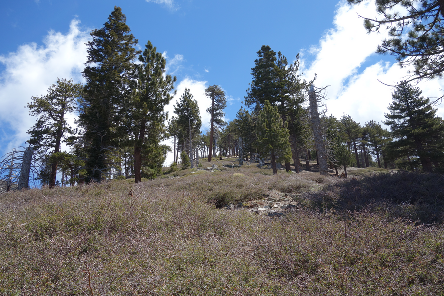
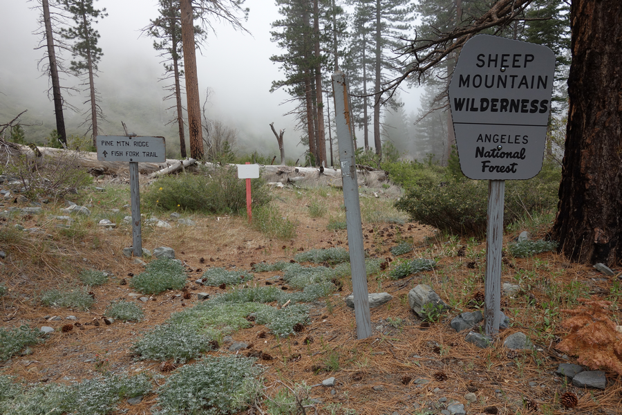
I left the Jeep in the turnout on Blue Ridge just past the Guffy gate. The road to Lupine and Gobblers Knob is still Gated at Guffy. After the obligatory loop of Guffy, I hopped the Pacific Crest Trail for the short jaunt to the North Devil's Backbone trailhead, usually identified by the weathered wilderness boundary sign.
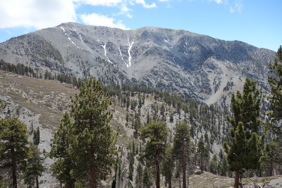
The hike up the backbone, though strenuous is well worth the work. Views East towards Stockton Flat, North towards the High Desert, West towards Mount Baden-Powell and South towards Pine Mountain and Mount San Antonio are real San Gabriel eye candy. Although I had passed a few PCT hikers before departing that trail, I wouldn't see another human until retaking Pine ridge in another eight hours or so.
There were a few small patches of snow and some rimey trees; leftovers from the storm a week or so earlier. I sat atop Pine Mountain for a spell, enjoying the views, climate and some snacks. The day's pace was 'leisurely', allowing plenty of time for exploring and taking pictures. I lost the Fish Fork trail several times and finally realized that the ridge I was on only offered a sharp craggy drop-off to the streambed. After consulting the map, I headed back towards Dawson and regained the trail. Amusingly (in typical Elwood navigatin' fashion) I had earlier noted the trail on Pine's side of this mess wondering if I was supposed to be headed there.
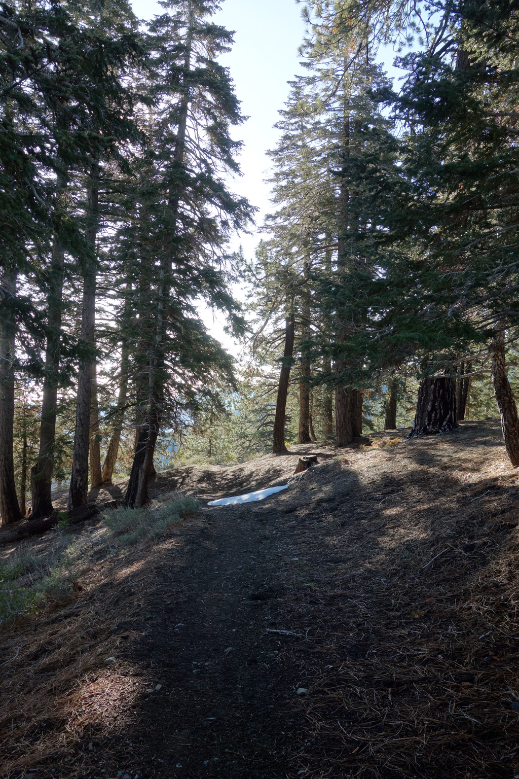
Once I reached the little 'flat' at 8200' cold clouds rolled in with a vengeance. Visibility was around 50 - 75 ft. This was unfamiliar territory and the 'trail' here is basically an old logging road that has been overtaken by Yucca, Ceanothus and other hiker-friendly flora. Luckily it was cool enough that I had never unzipped the bottoms from the Saharas, saving much calf shredding.
I managed to miss the turnoff that would have sent me over the ridge at 7200' and onto the "high" trail back towards the sign on Pine's big ridge. This cost me a meander along the overgrown roadbed a few hundred feet below the proper trail. I finally gave up on this and scrambled up where this "road" essentially evaporates after switching back. I was amused by the fact that I had always wondered where that old road went whilst enjoying the airy trail above.
After a brief rest stop on the ridge, I trod down towards Lupine. I was kind of beat by the time I was back on the road to Guffy. I rest-stepped it until I could convince my legs that the car was just a couple of uphill miles away. It felt pretty chilly by the time I departed, turns out the temperature was a balmy 40F.
Never made upper Fish Fork Camp this day. Looking forward to my next, better-planned adventure
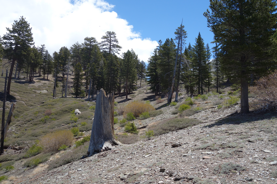
Westward view as I depart just outside Guffy C.G.
Treacherous snowfield along the PCT between Guffy and north backbone trailhead.
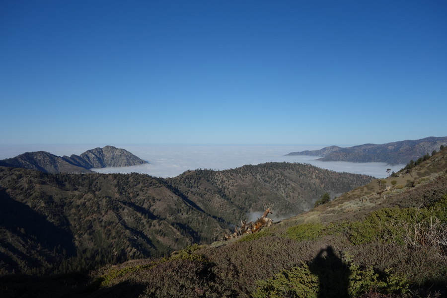
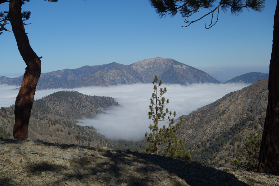
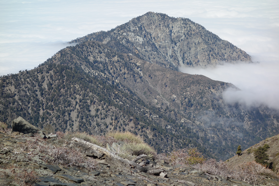
Pine Mountain's long ridge and Mount Baden-Powell. Prairie Fork filled with clouds.
Picture of a stretch of the North Devil's Backbone. It really is as steep as it looks.
View of B-P with Vincent Saddle to its right..
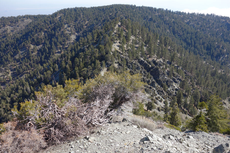
View towards Stockton Flat from one of the higher sections of the backbone.
Looking back towards Blue Ridge from high on up the North Backbone.
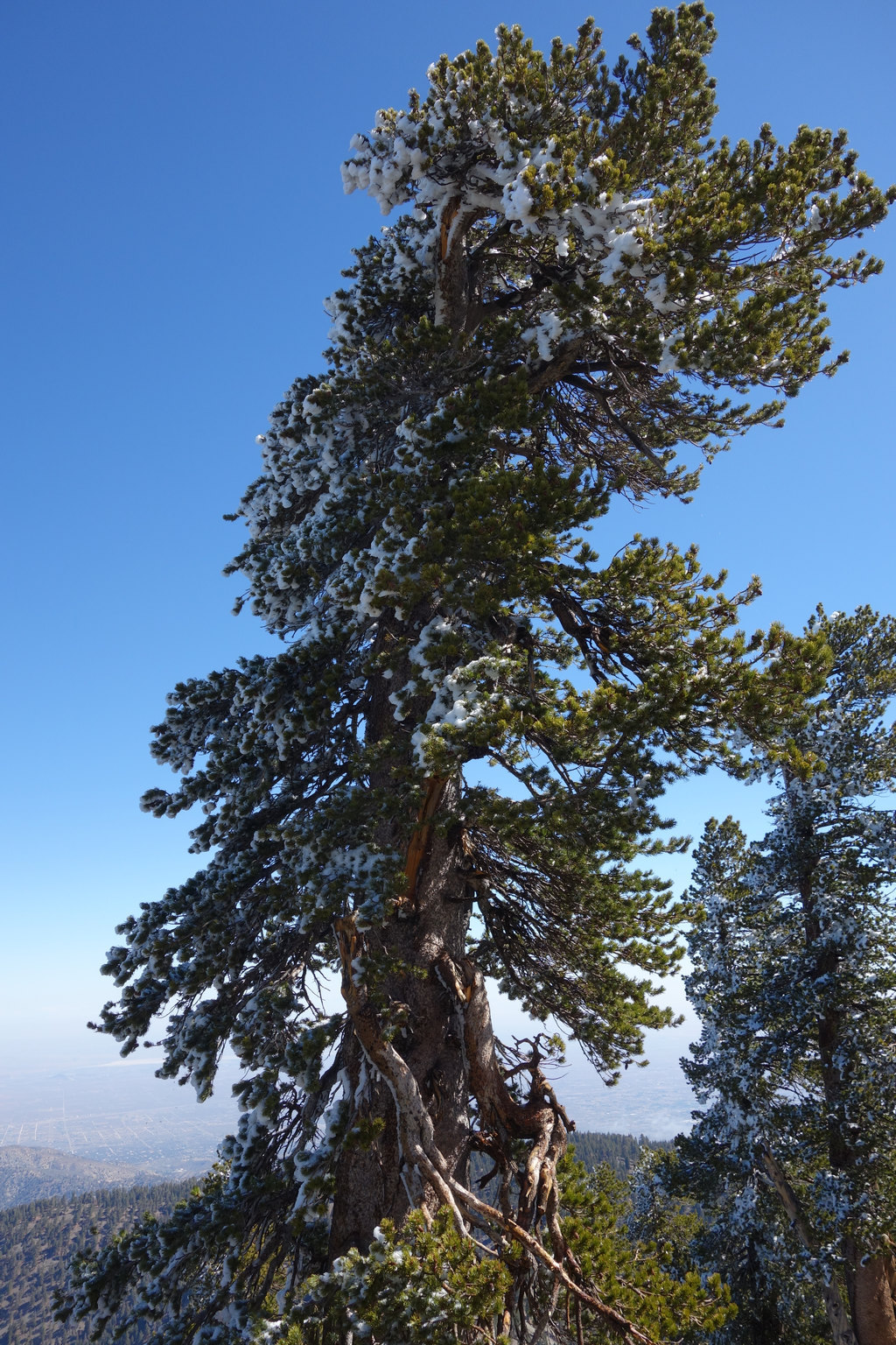
Residual snow from the last storm. It was dropping chunks of ice as I hiked by.
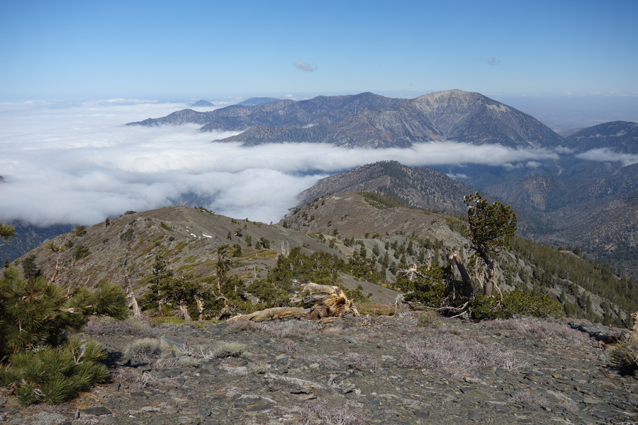
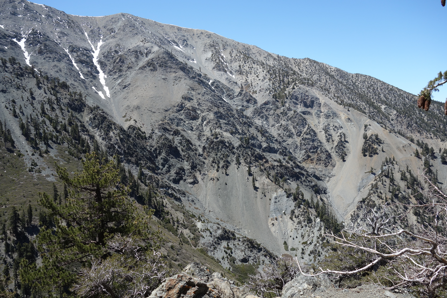
Big Iron and a good chunk of the San Antonio Ridge.
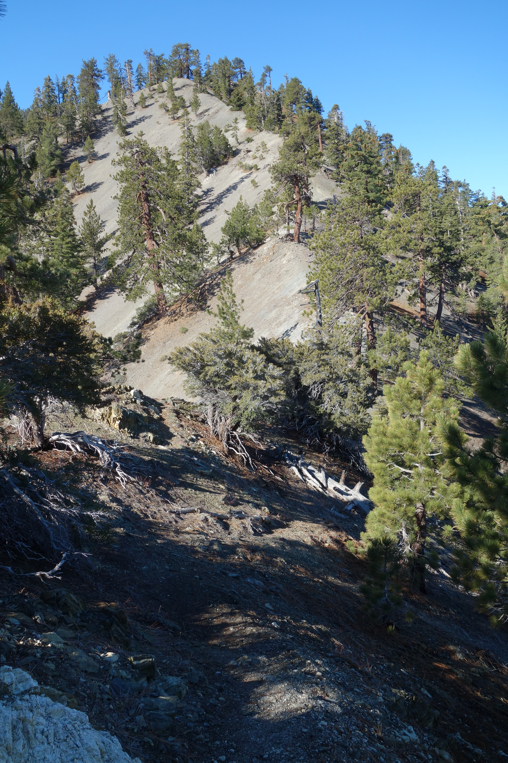
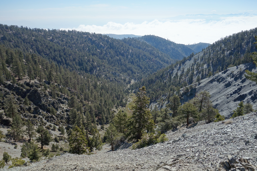
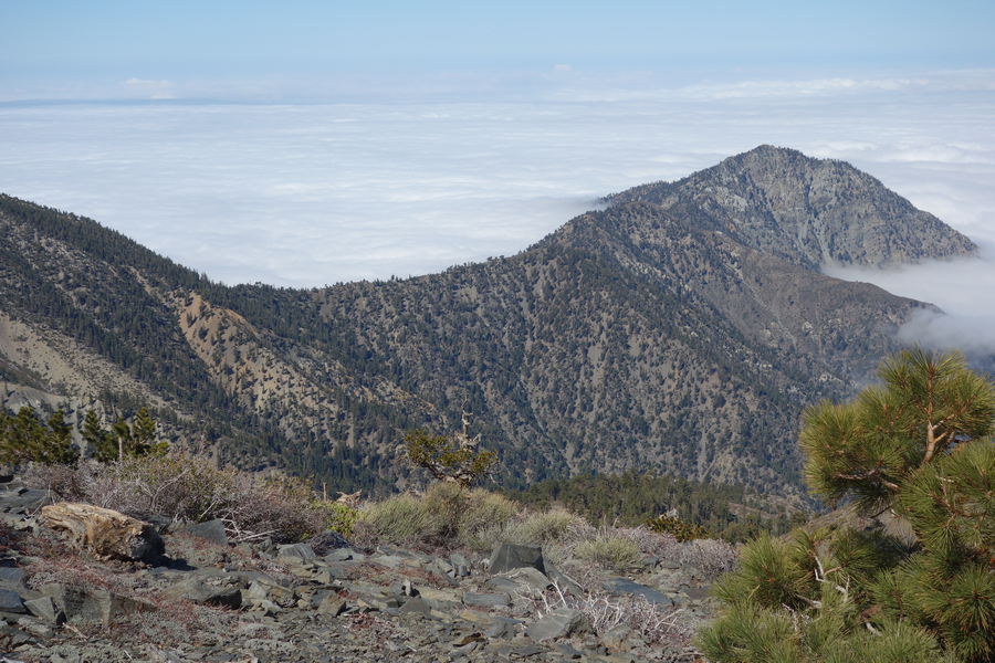
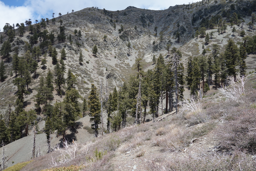
Pine Mountain's big ridge stepping its way down towards Mine Gulch.
Siron song of the San Antonio Ridge as it sweeps down from West Baldy.
Enjoying the "high" of the San Gabriel high country.
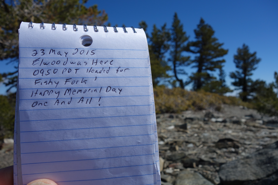
Found the summit register; safe and sound.
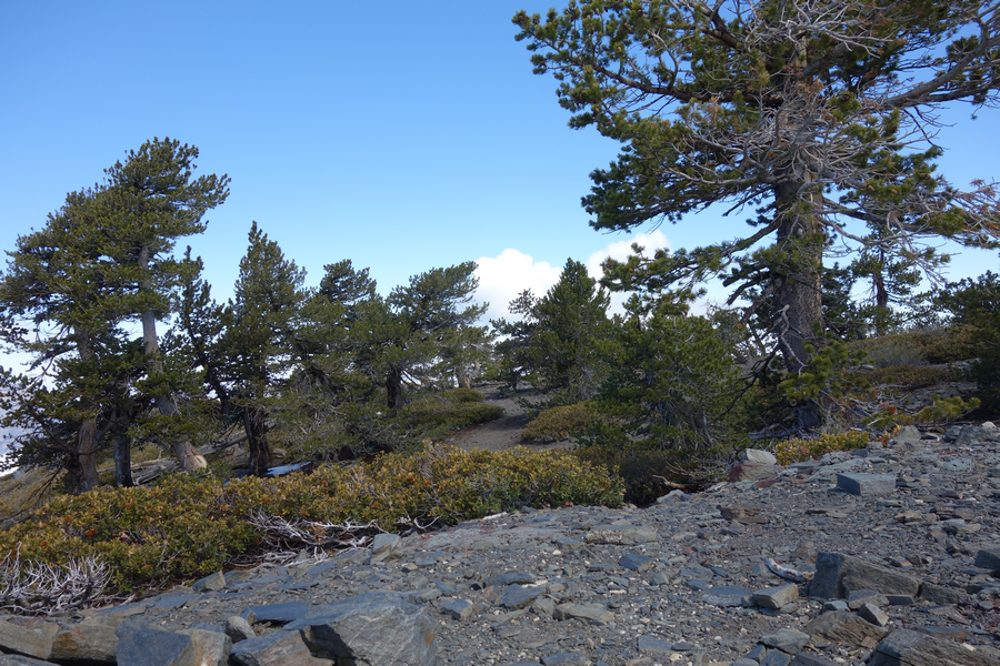
View around the summit of Pine Mountain.
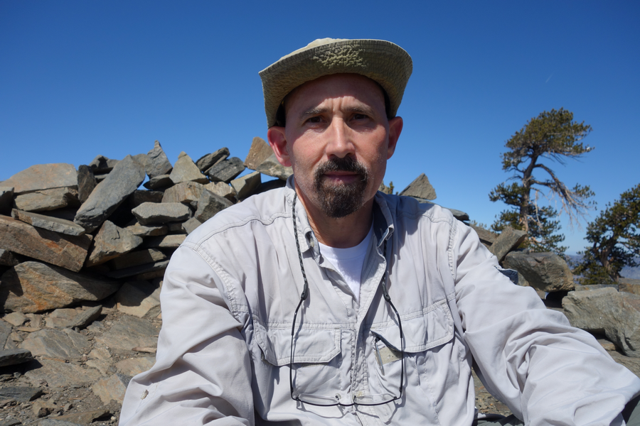
Yours truly enjoying a break and snacks in the wind shelter atop Pine.
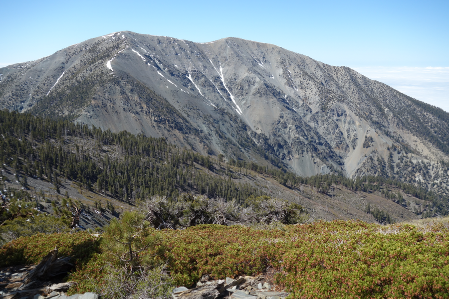
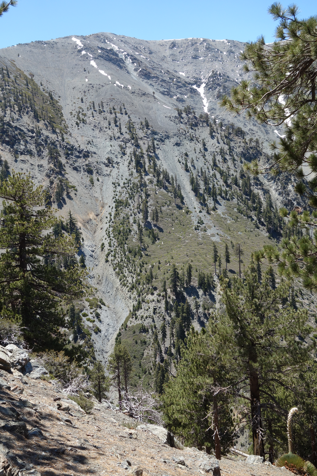
Mount Baldy and West Baldy behind the ridge that sweeps down into Fish Fork.
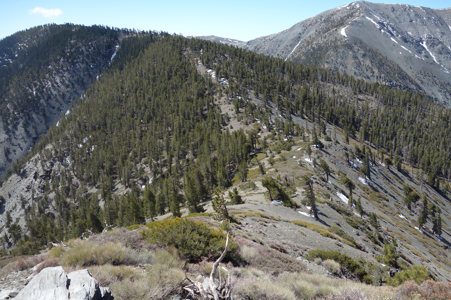
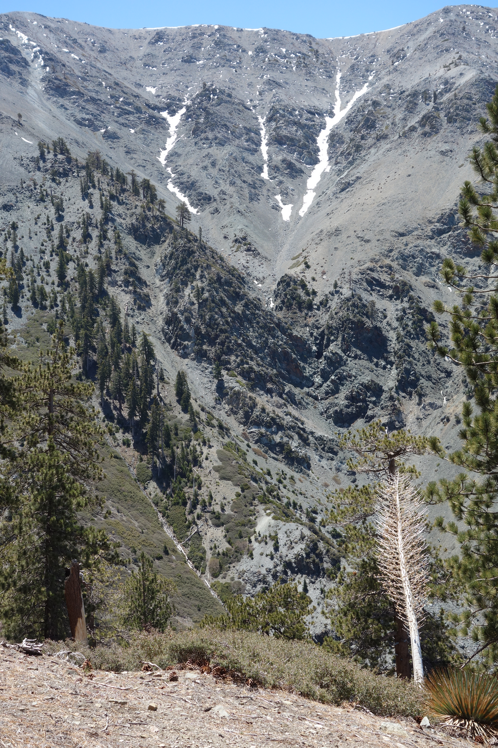
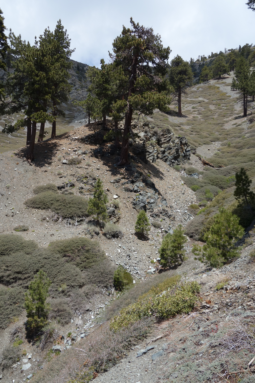
Ridge that descends to the saddle between Pine Mountain and Dawson Peak.
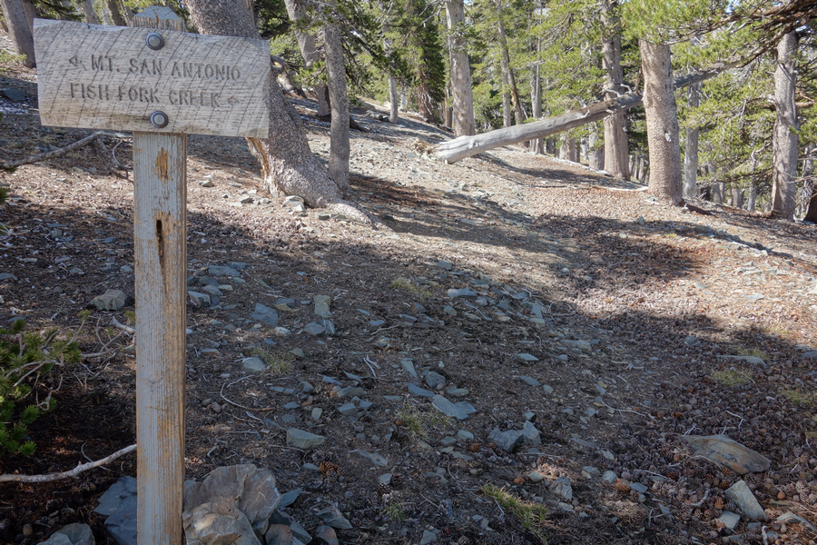
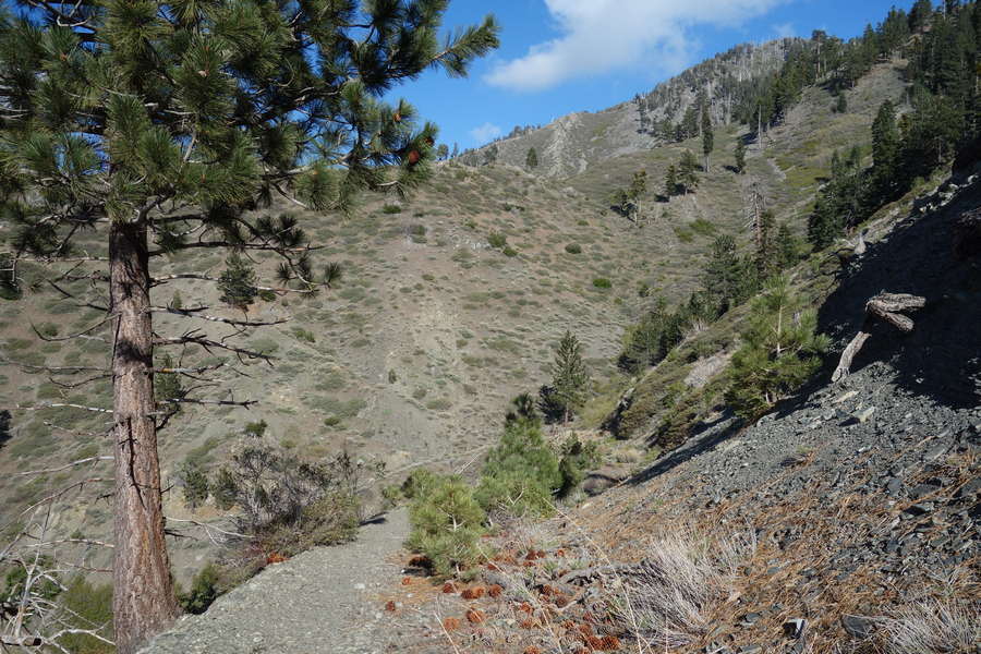
Trailhead of the intermittently overgrown and tricky-to-follow Fish Fork Trail.
Fairly typical presentation of the trail as it traverses Dawson's slope.
Observe this trail (picture center) after it crosses the big gully between Dawson and Pine.
I meandered quite a bit on the wrong ridge (closest to Baldy). As it steepened, I realized didn't offer any safe route into Fish Fork.
I enjoyed striking views of the chutes on Baldy's north face. Couldn't help but think of the young lady who lost her life here a couple of years ago.
Chute adjacent to the North Backbone as it ascend Mount San Antonio.
Scaled 'png' doesn't do justice to the detail visible in this image.
Finally got back on the trail headed towards Pine / Fish Fork.
Not-atypical segment of the trail as it crosses the big gully and switches-back towards the fork.
Almost back on the slopes of Pine.
View up towards the Pine-Dawson saddle.
Looking back towards Mount Baldy from the Fish Fork Trail (on Pine).
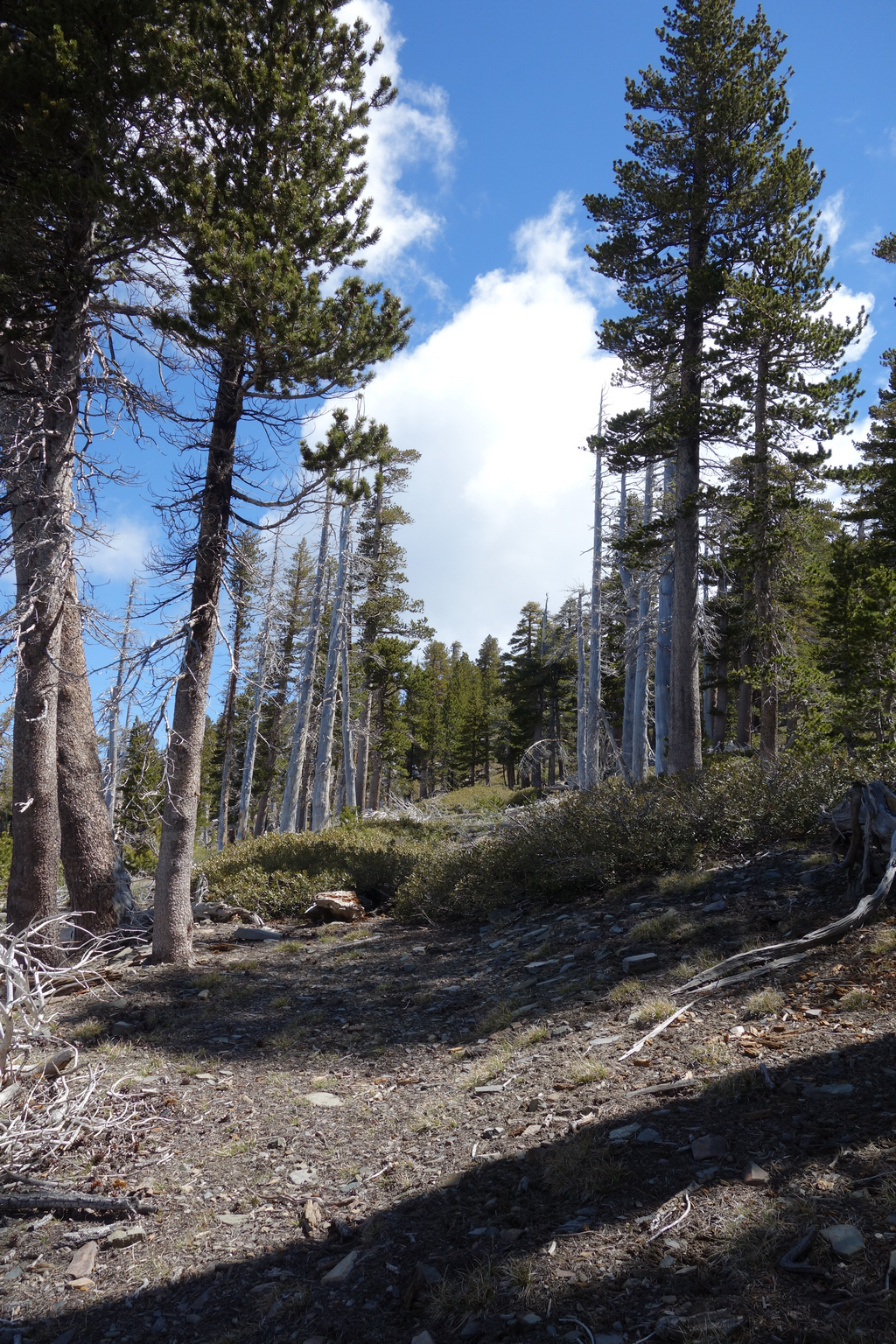
Scattered Pines and patchy Ceanothus as the trail switches-back towards Fish Fork.
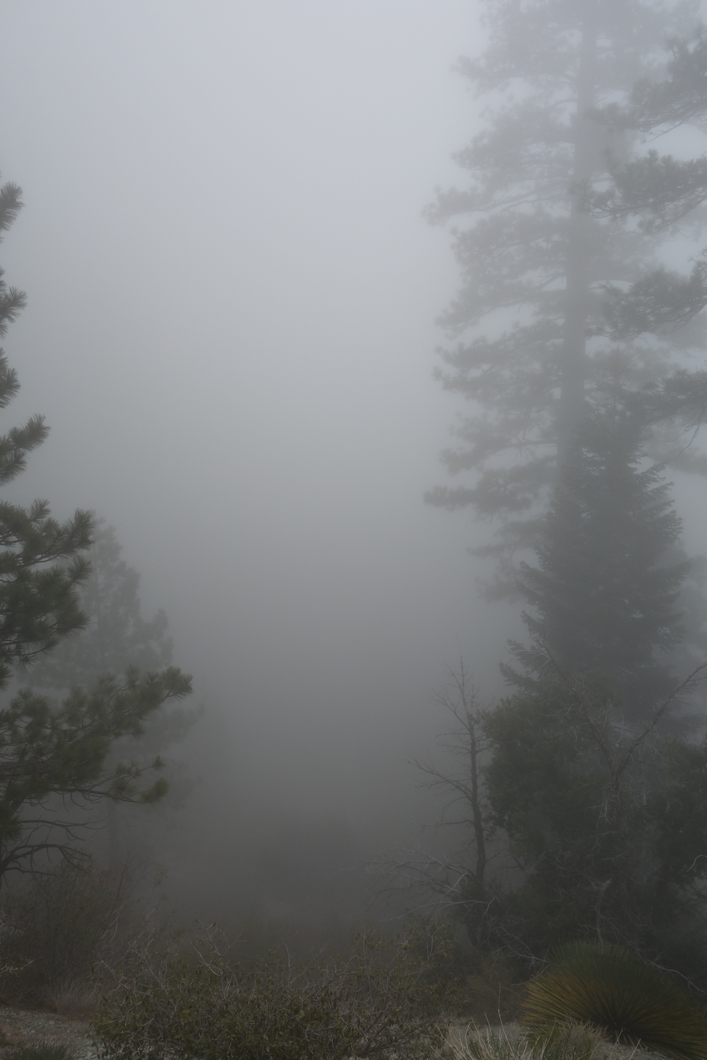
Hike definitely turned to IFR as cold clouds filled the fork. I was very happy to know that I had spare batteries for the GPS. My Sierra Club membership card was happy to know that I had map and compass too, as well as the knowledge of how to use them.
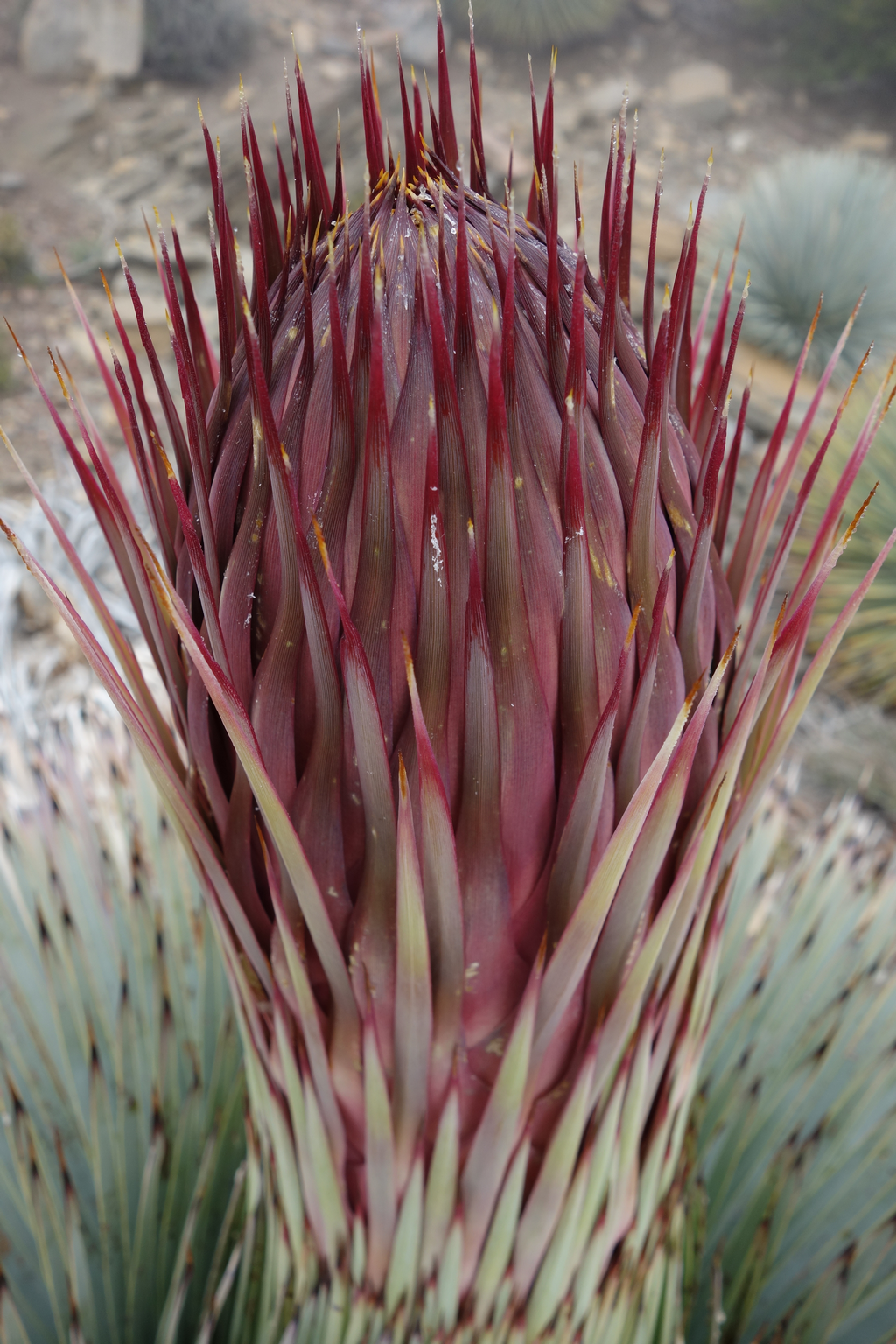
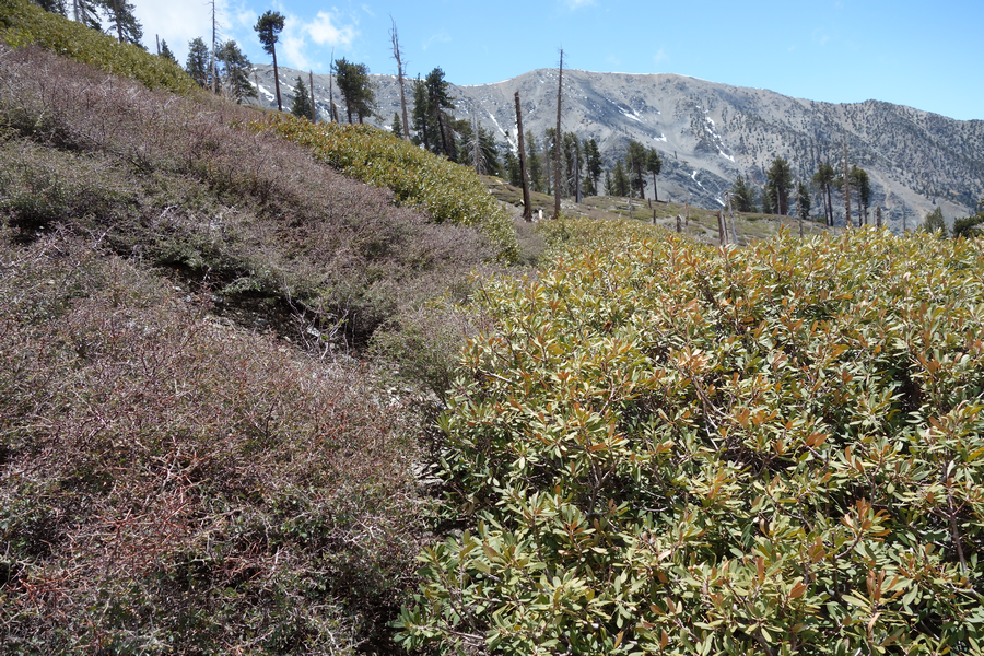
Can't wait to come back to be skewered by these buggers as they fan out and stiffen.
Trail between Pine Ridge and Lupine C.G. Mrs. Elwood and I lovingly refer to this as the Jumanji Trail after the somewhat over-togged hunter that we kept crossing paths with during a miss-timed Lupine campout (during the Angeles Deer / Rifle season).
I was starting to drag a bit at this point and wasn't looking forward to the slog back up to Guffy.
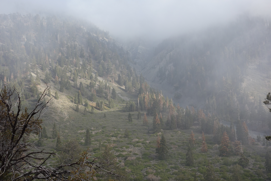
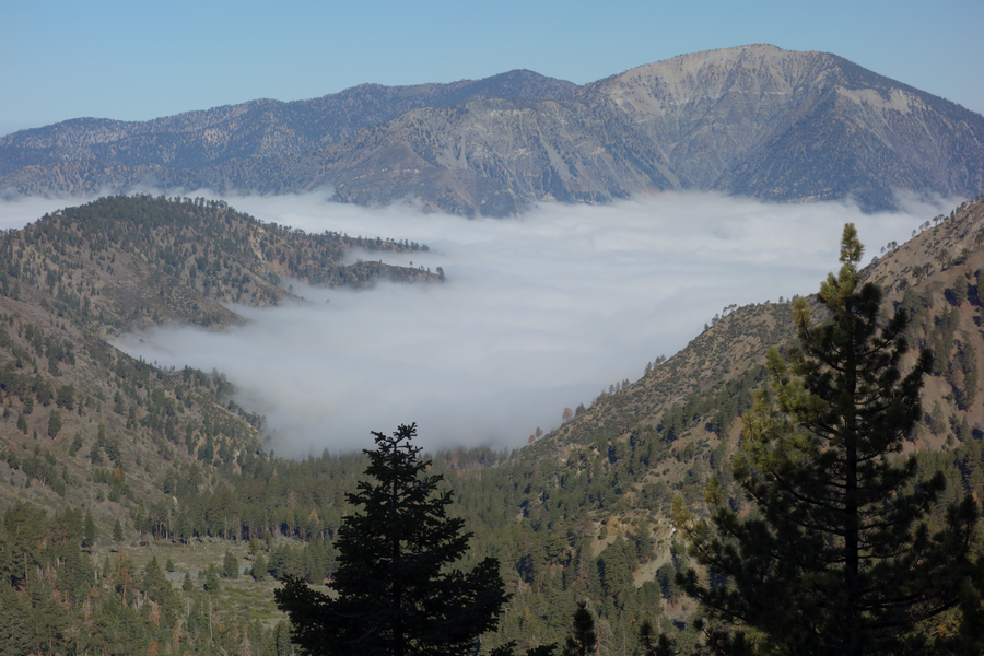
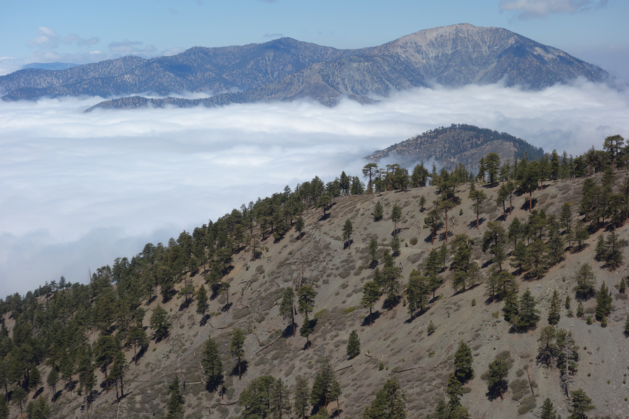
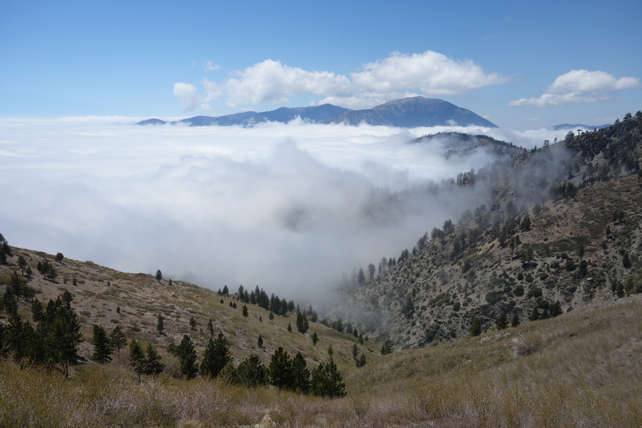
Pine's big drainage into Prairie Fork; late sun poking through the low (~7000') clouds.
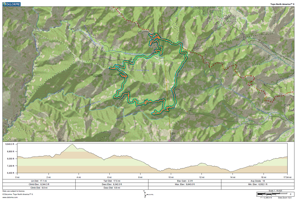
GPS track and elevation plot.
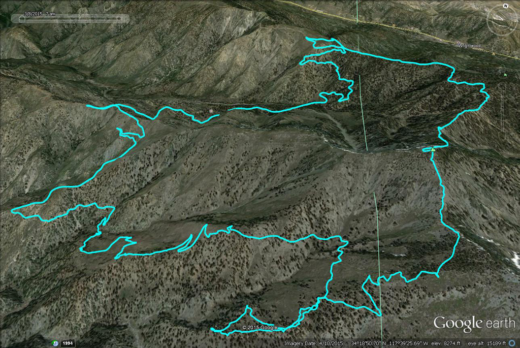
Track projection on Google Earth '3D' view.


