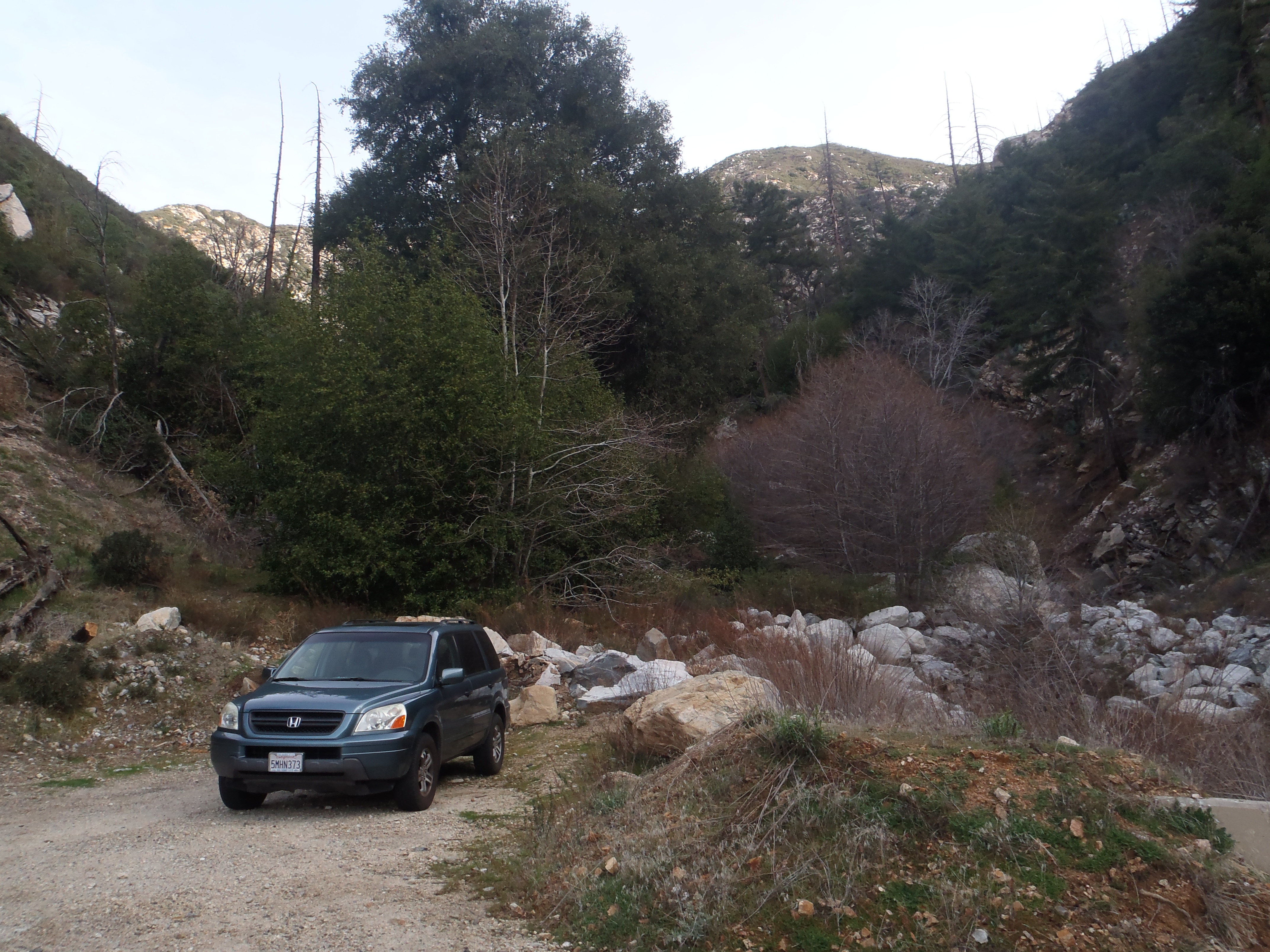
Wednesday morning I drove up CA-39 and parked in the small turnout for Rockbound Canyon, approximately a half-mile before the turnout for Lewis Falls.
By 9am I started up-canyon and northward. Almost immediately there was a split, where I kept left.
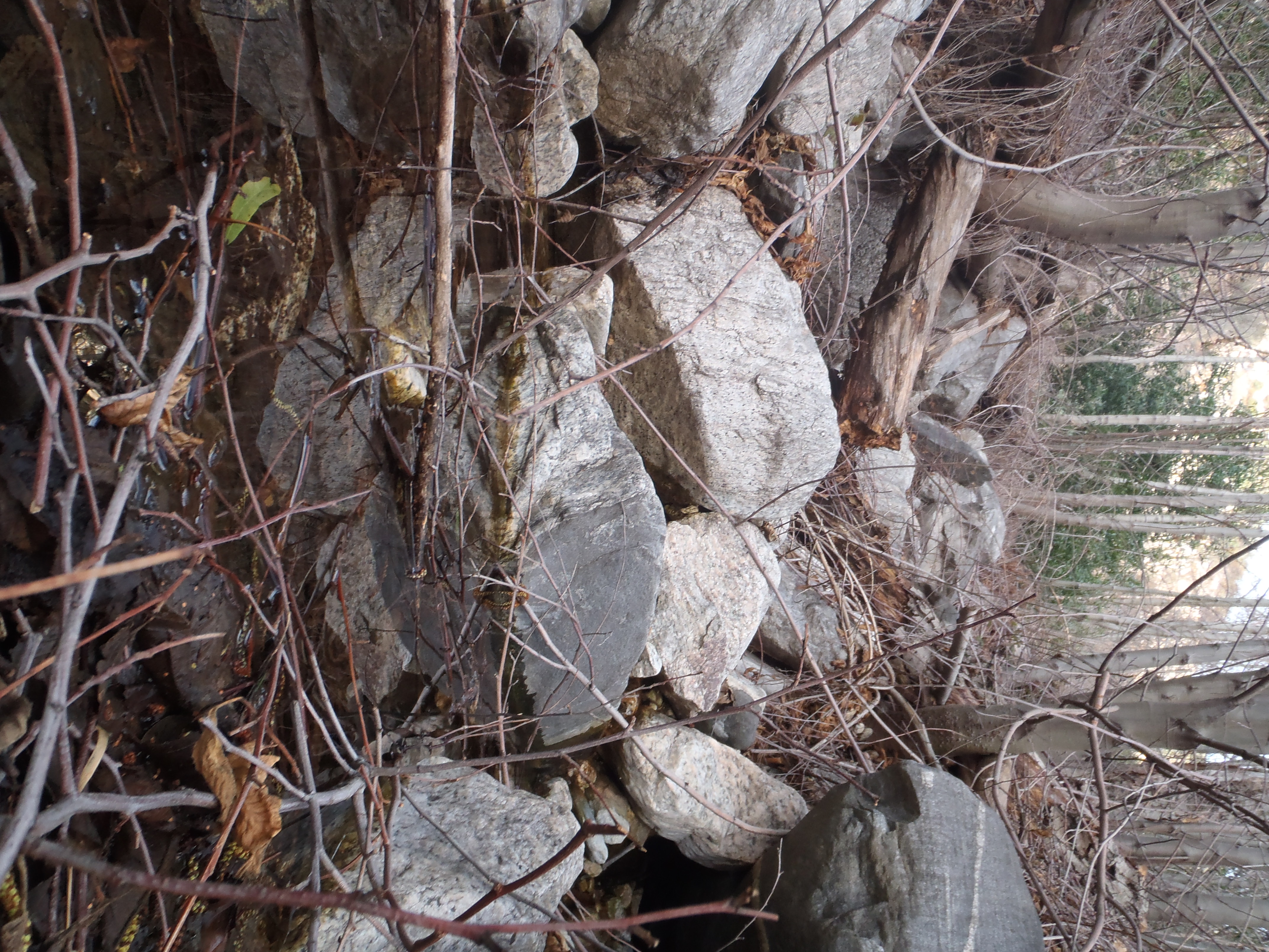
Also, there was a stream and plenty of obstacles, mostly deadfall, big boulders and poison oak.
Avoiding the poison oak proved difficult, and I simply walked through it a couple times. Luckily it didn't grow much above my shoes, because I was wearing shorts.
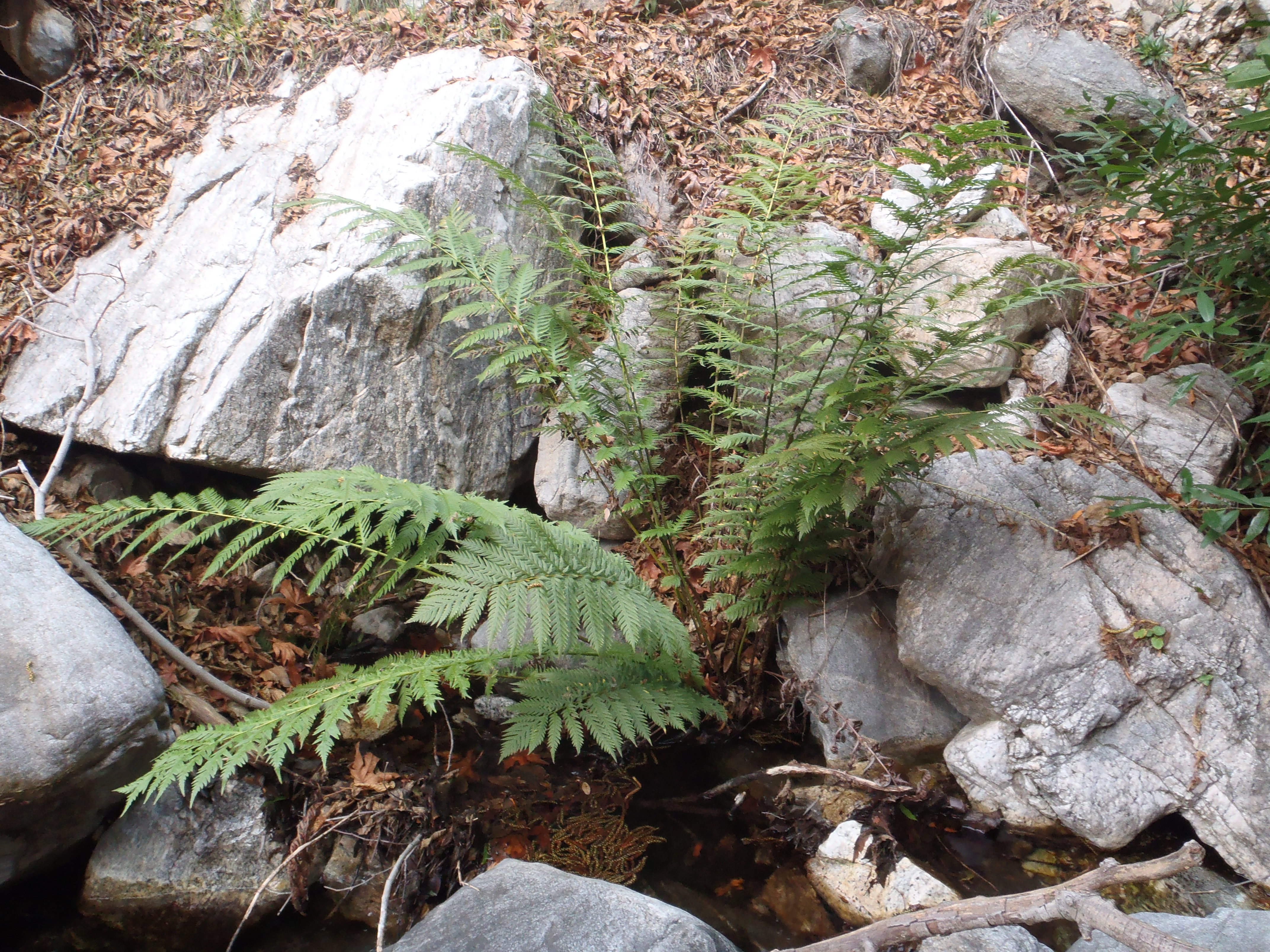
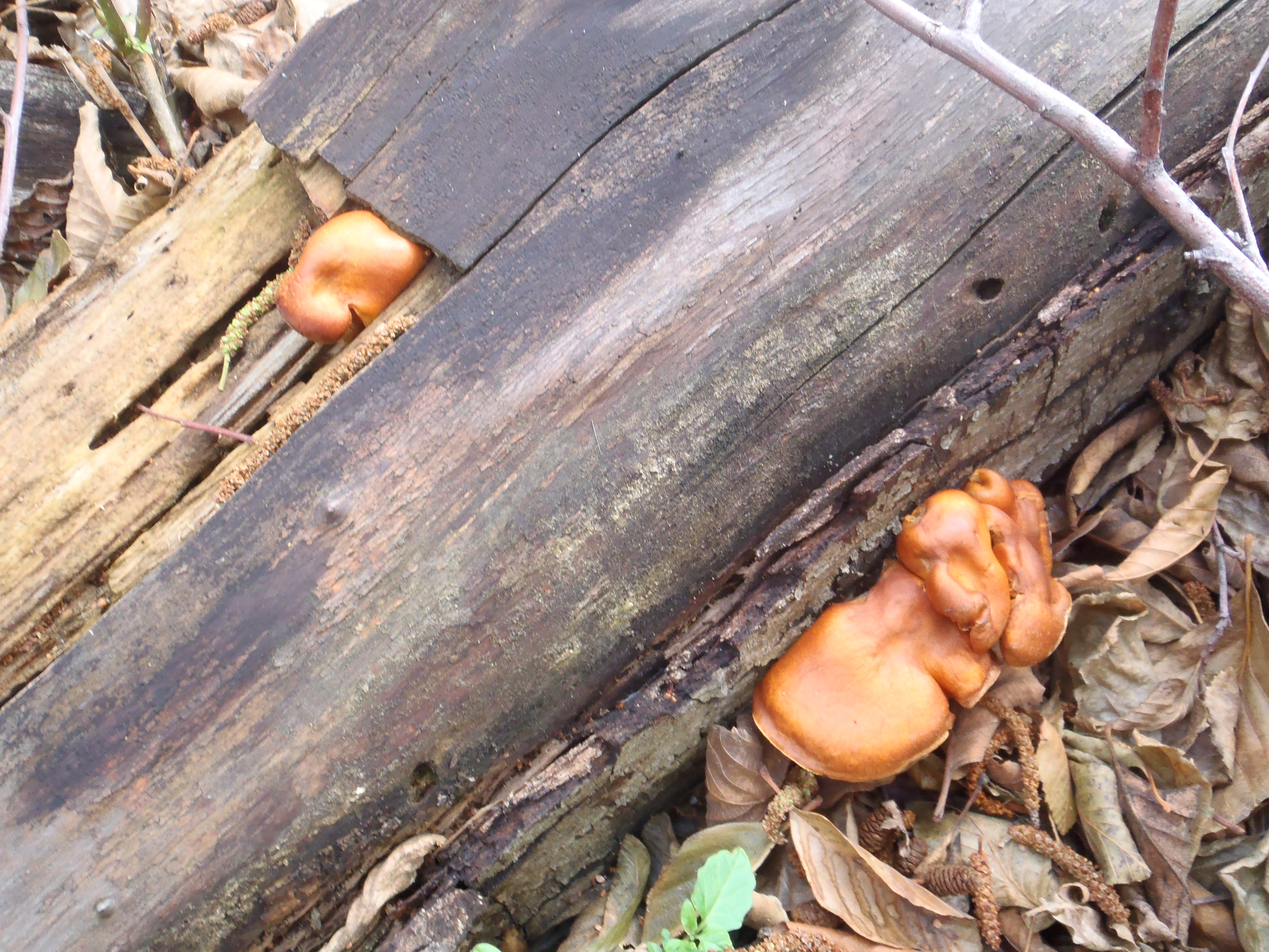
Other items of interest: ferns and fungi.
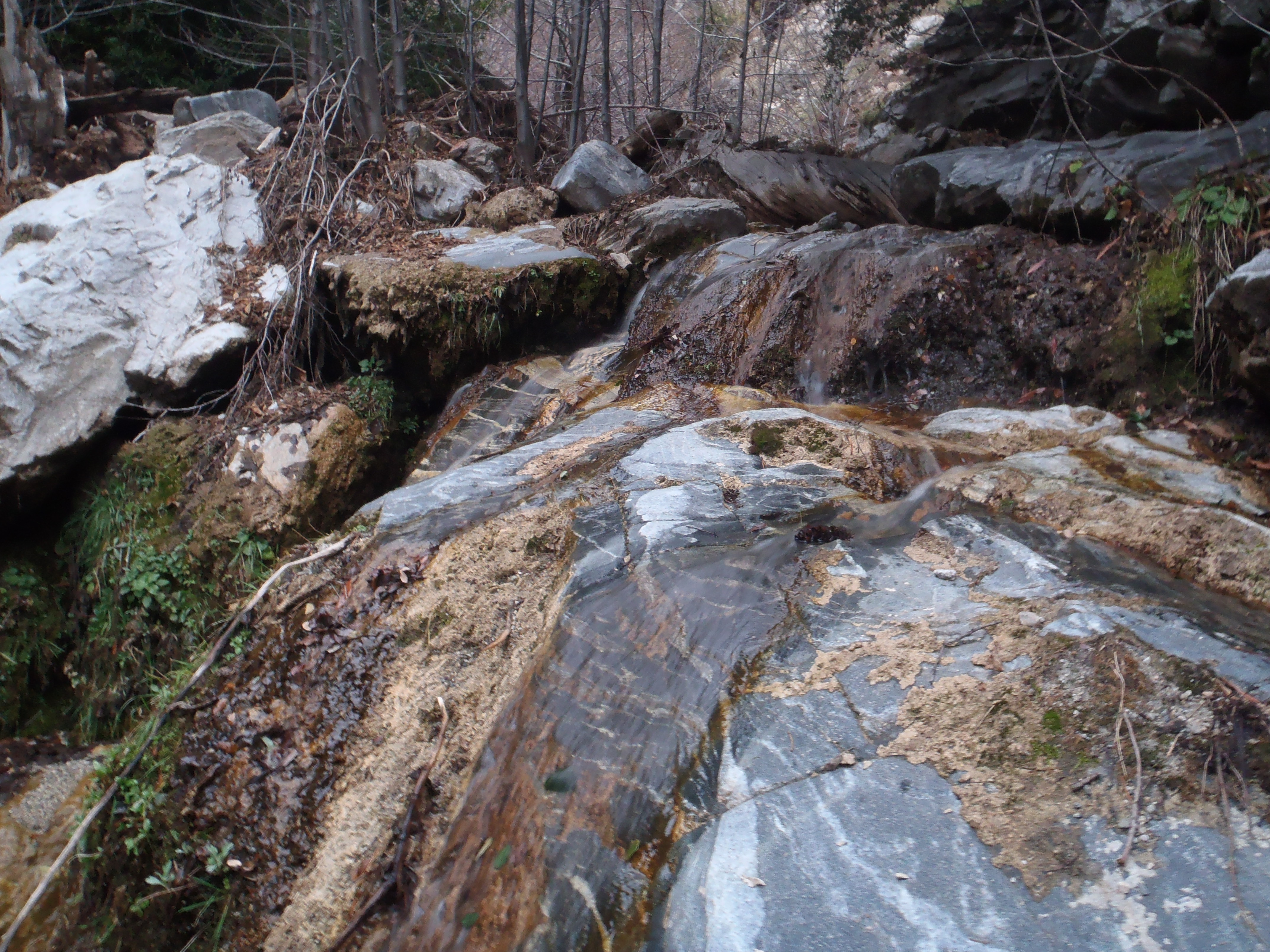
Eventually both the water and poison oak disappeared, leaving a long stretch of glorious dry-rock and cascade scrambling.
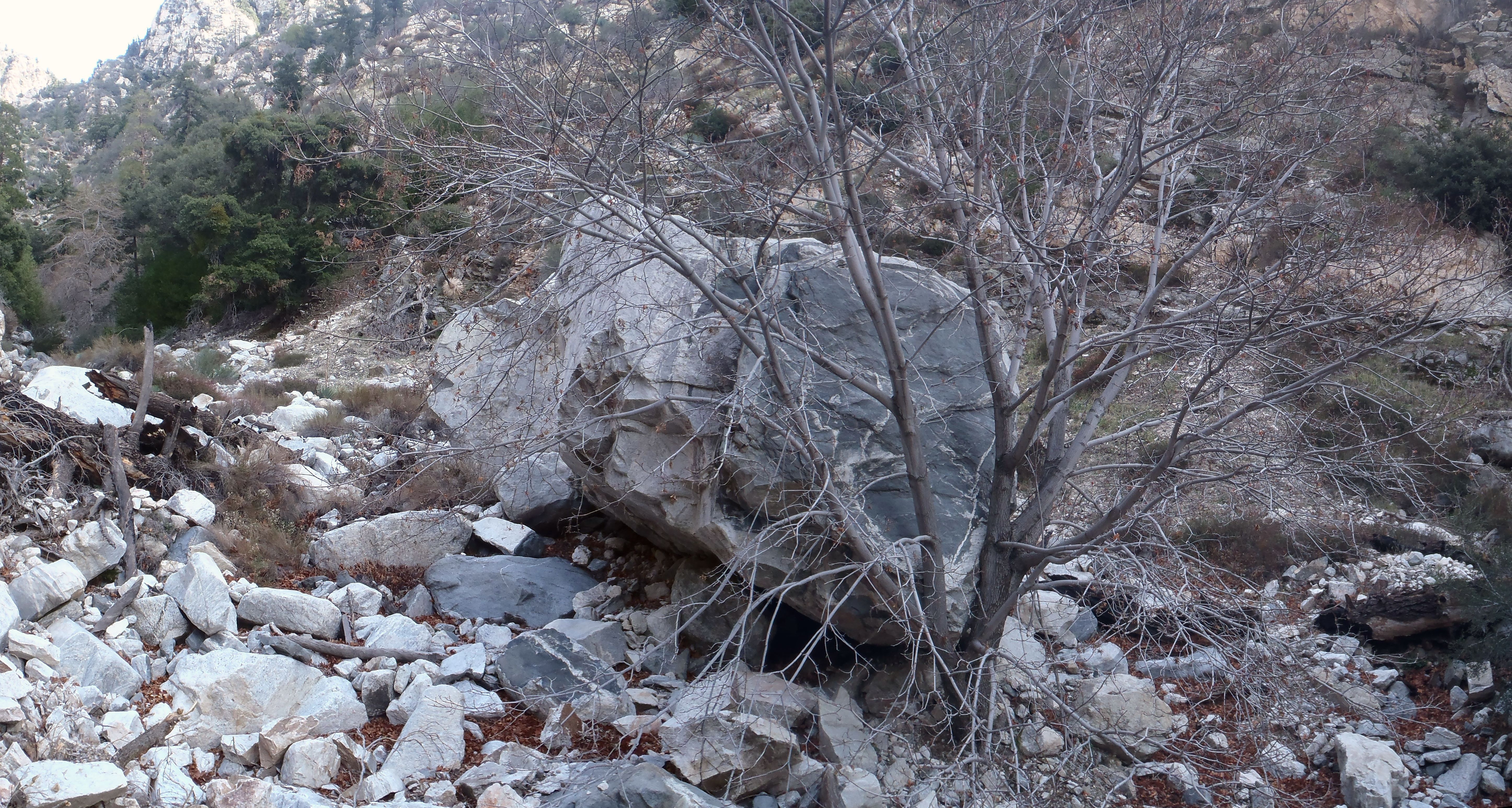
Here, a pair of humongous boulders waited patiently for an opportunity to roll over the lonely tree that blocks their downstream path.
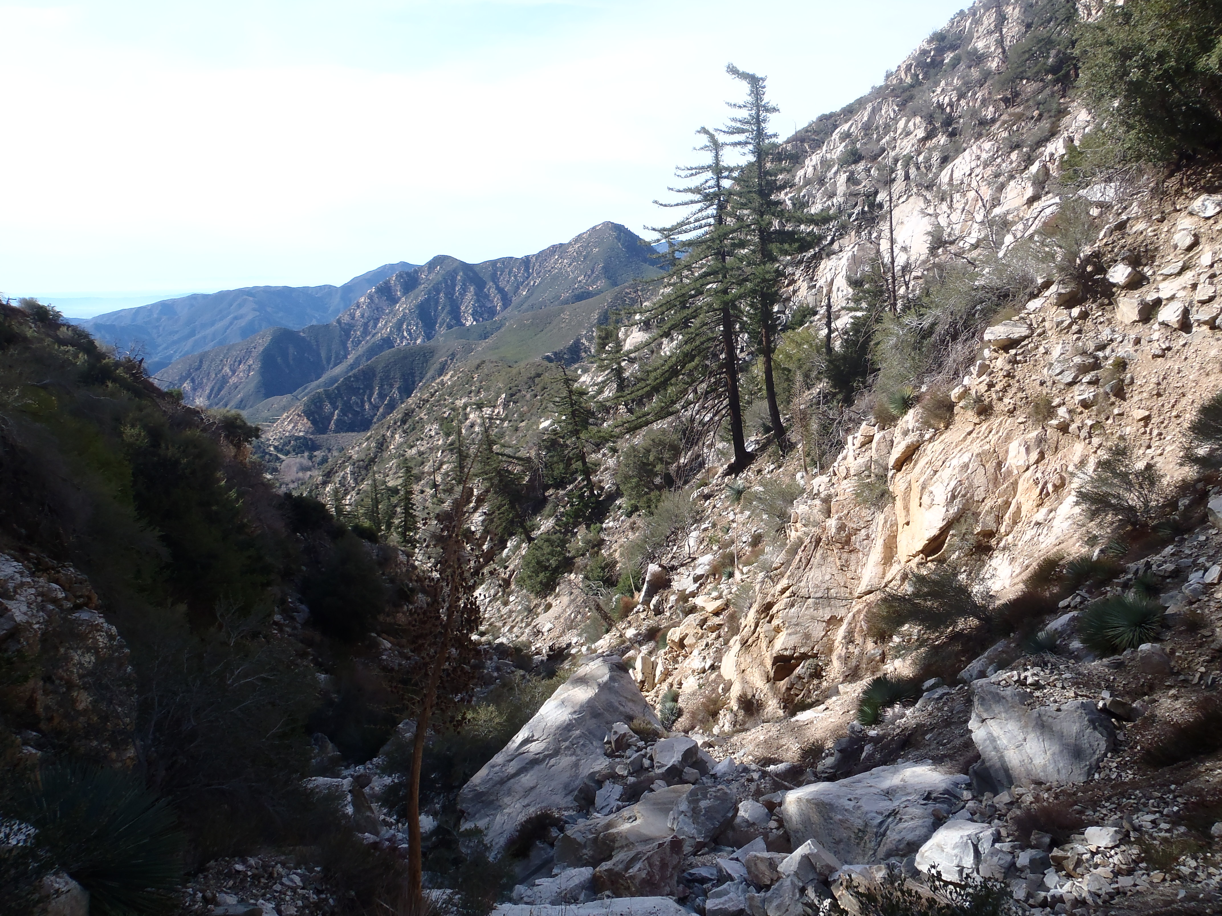
Looking back, the distant views started to emerge.
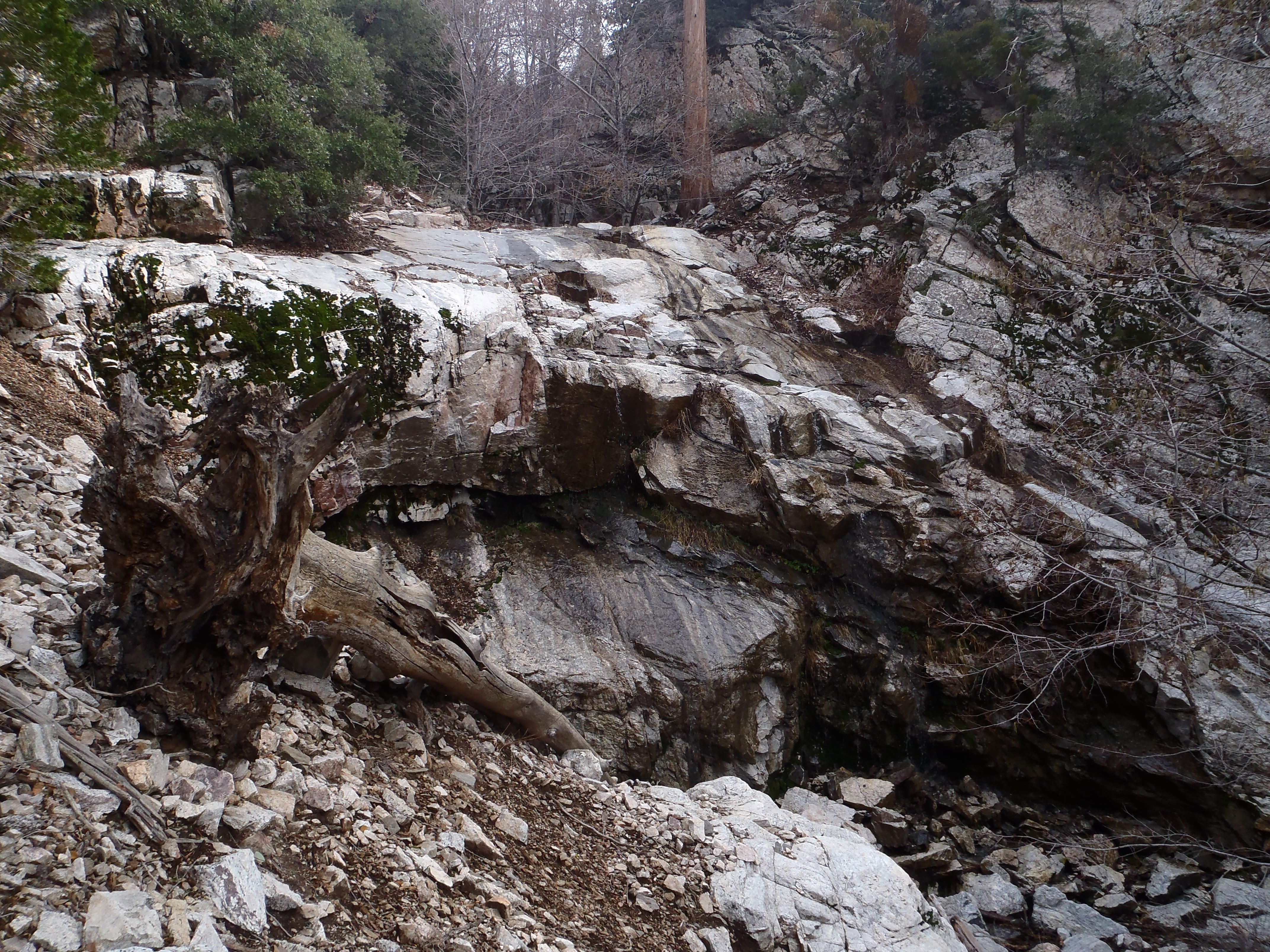
After a couple hours, I finally found the headwall.
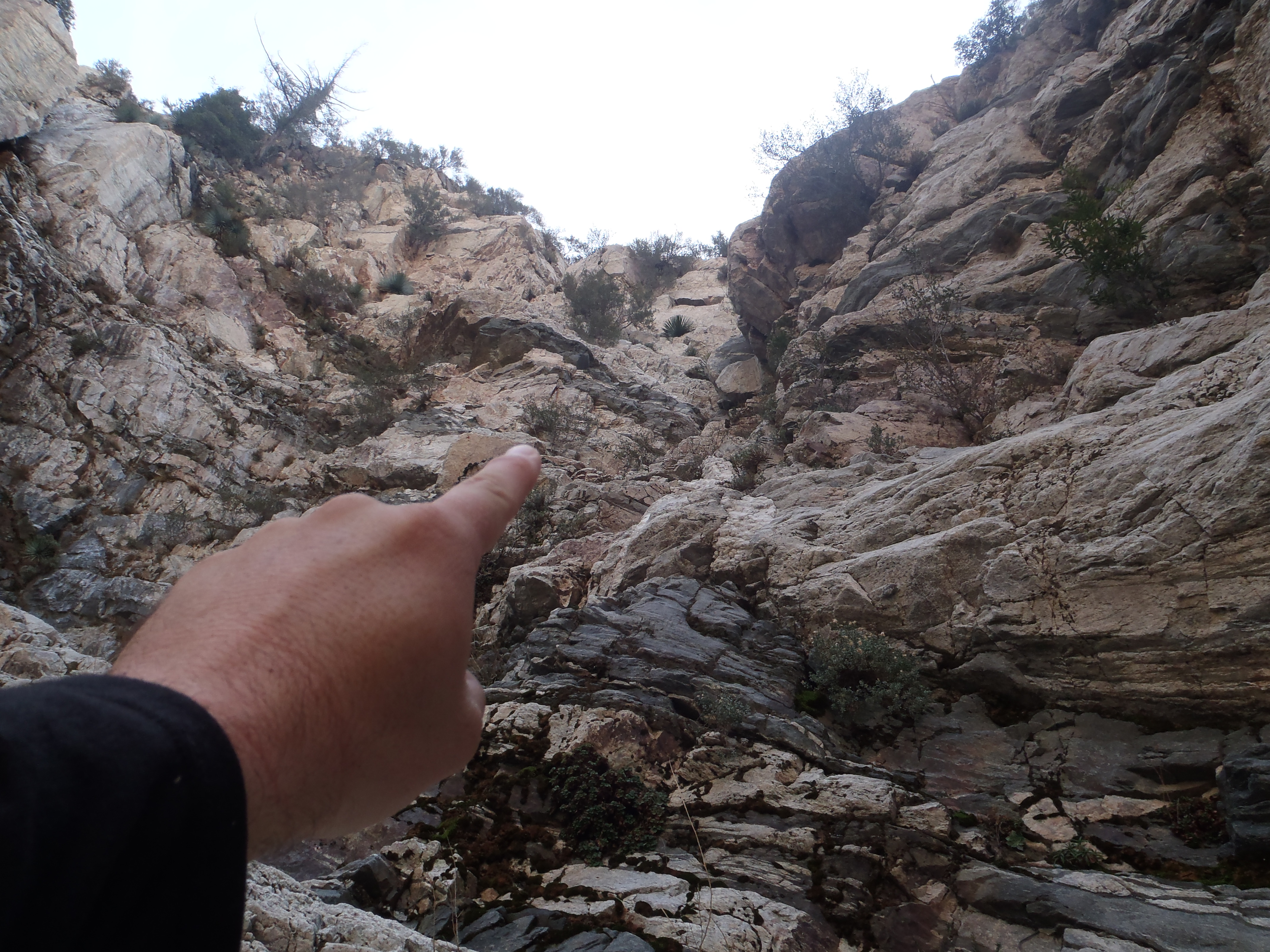
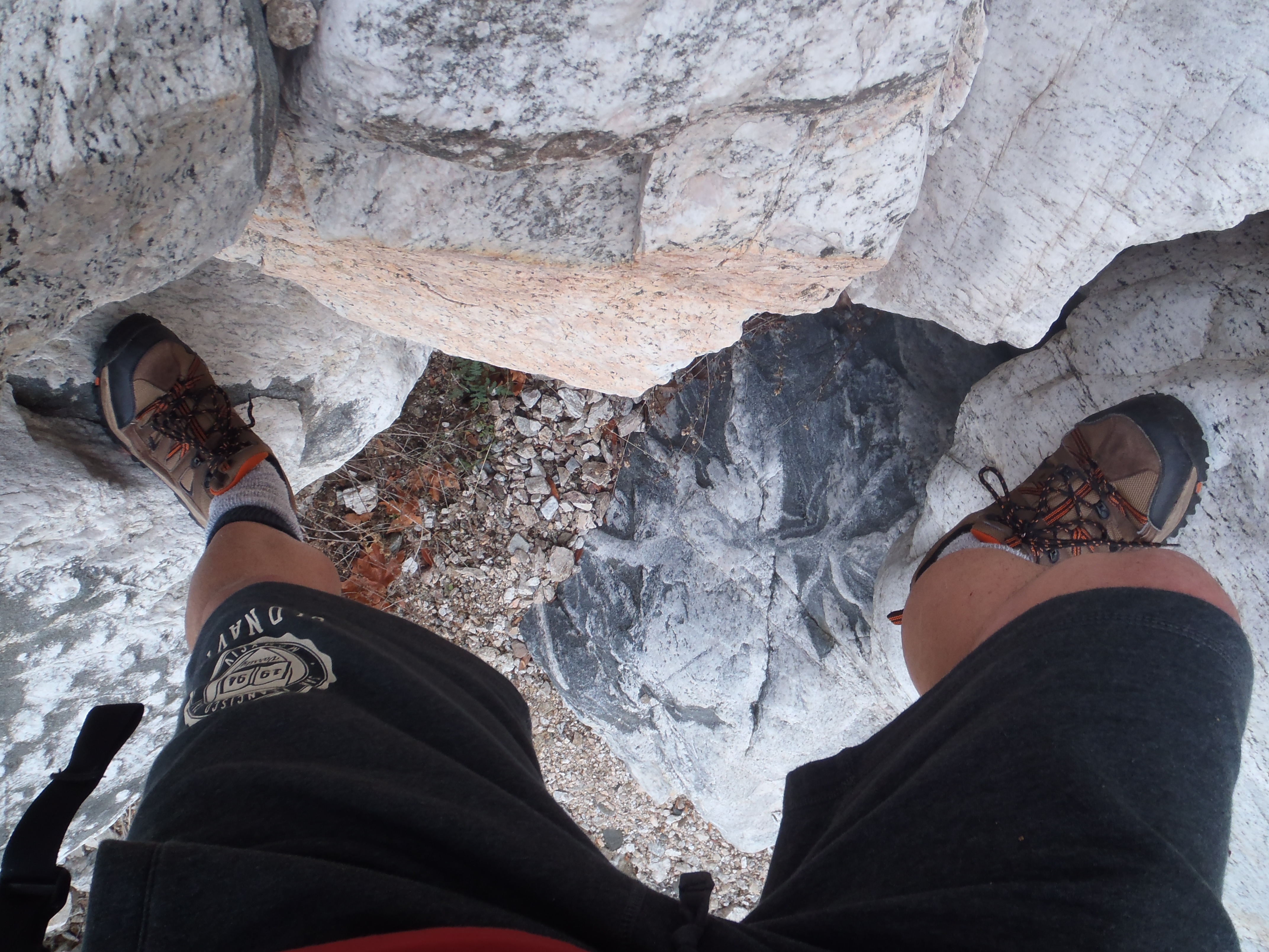
It stood at the start of an eastward bend in the canyon. I climbed to the bottom of the wall and looked for possible routes up. Perhaps something on the left would be manageable.
There appeared to be some ledges part of the way. But I couldn't see the top, and I was alone. So after a snack break, and an attempt to think clearly, I decided to search for a bypass. I down-climbed a bit until I could move north of the headwall, into a substantial feeder canyon filled with scree.
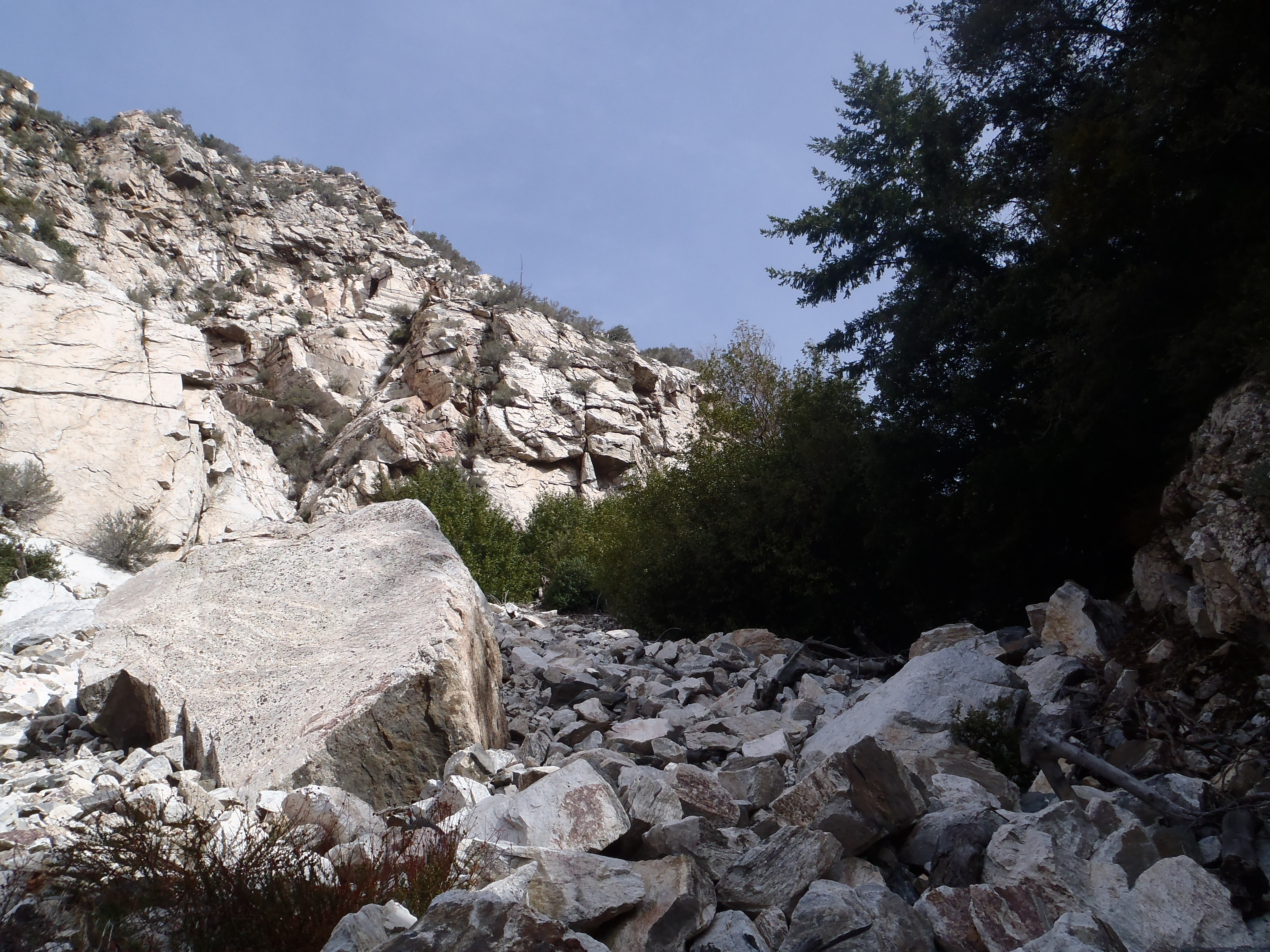
This gully runs in a northeasterly direction above the main branch for about a half-mile, before blending into the hillside.
I utilized this parallel canyon to access the ridge between it and the main branch. However, I probably abandoned the canyon too quickly, for I had some scary moments trying to reach the ridgeline by scrambling steeply up loose rocks in a narrow gully. Perhaps following the bypass canyon further up, then contouring to the ridge, would be a better idea.
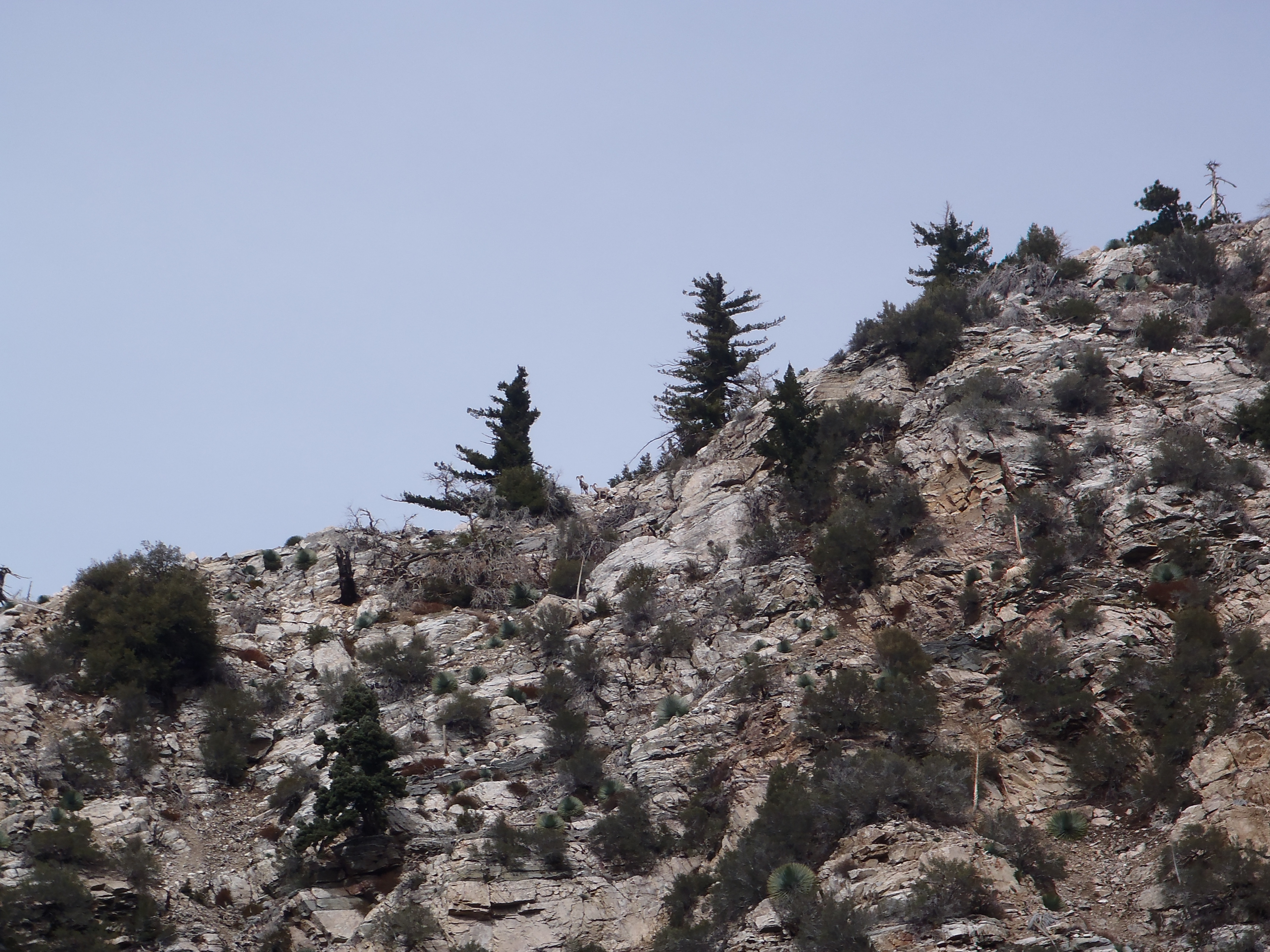
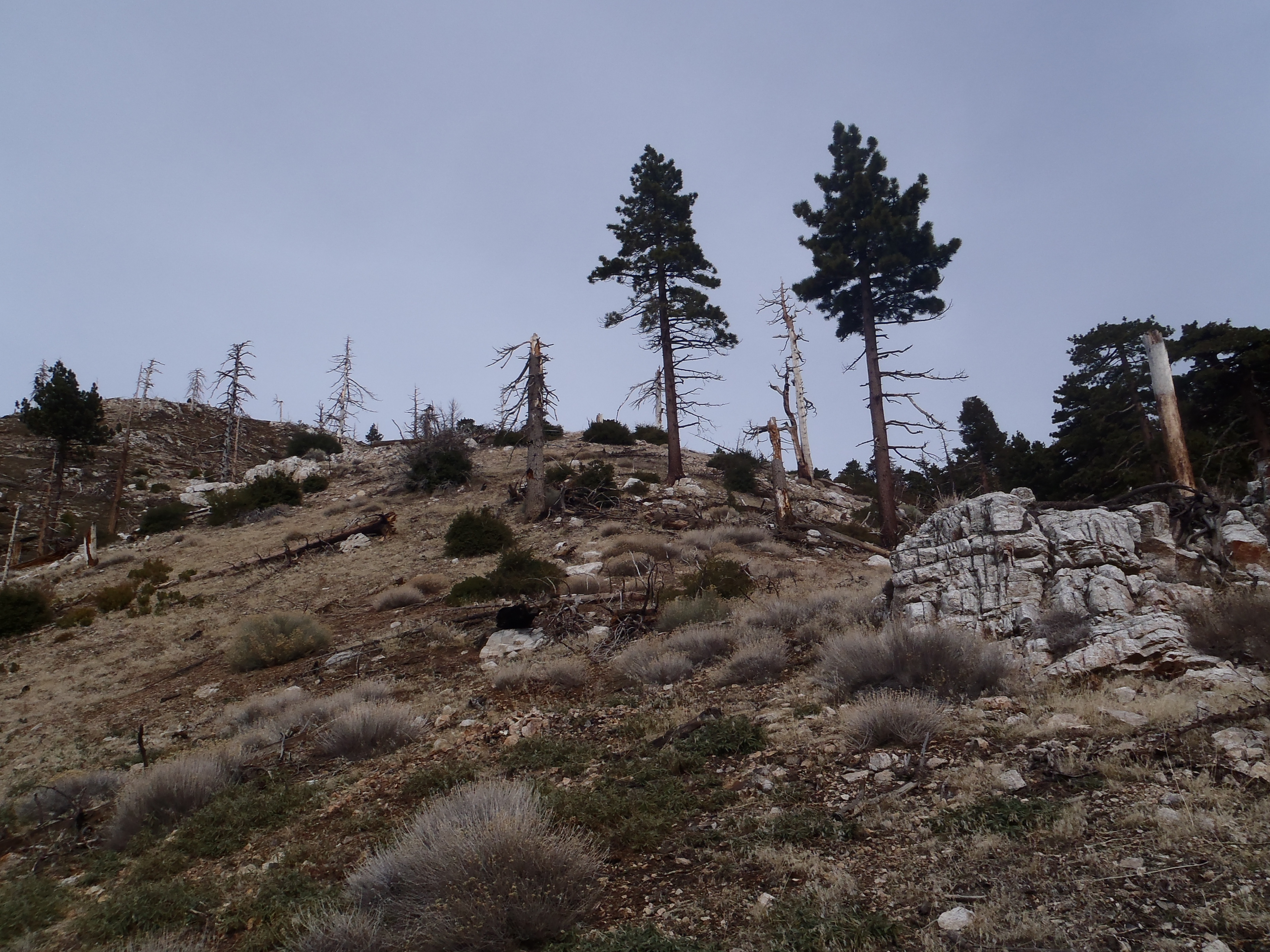
In any case, once on the ridge, I couldn't resist climbing onto a big boulder up there and taking in the view.
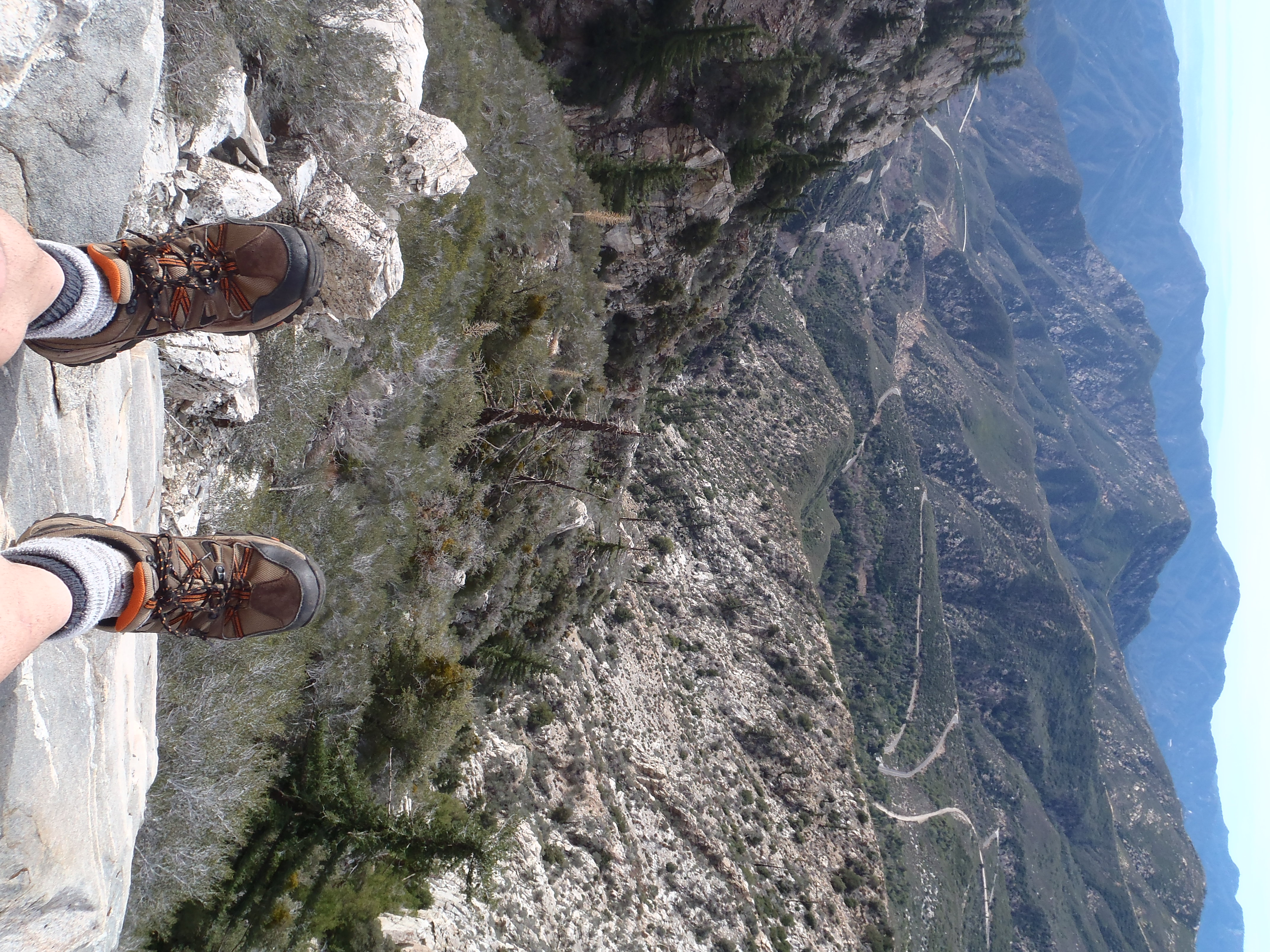
Looking over at the opposite ridge to the north, I caught three sheep spying on me.
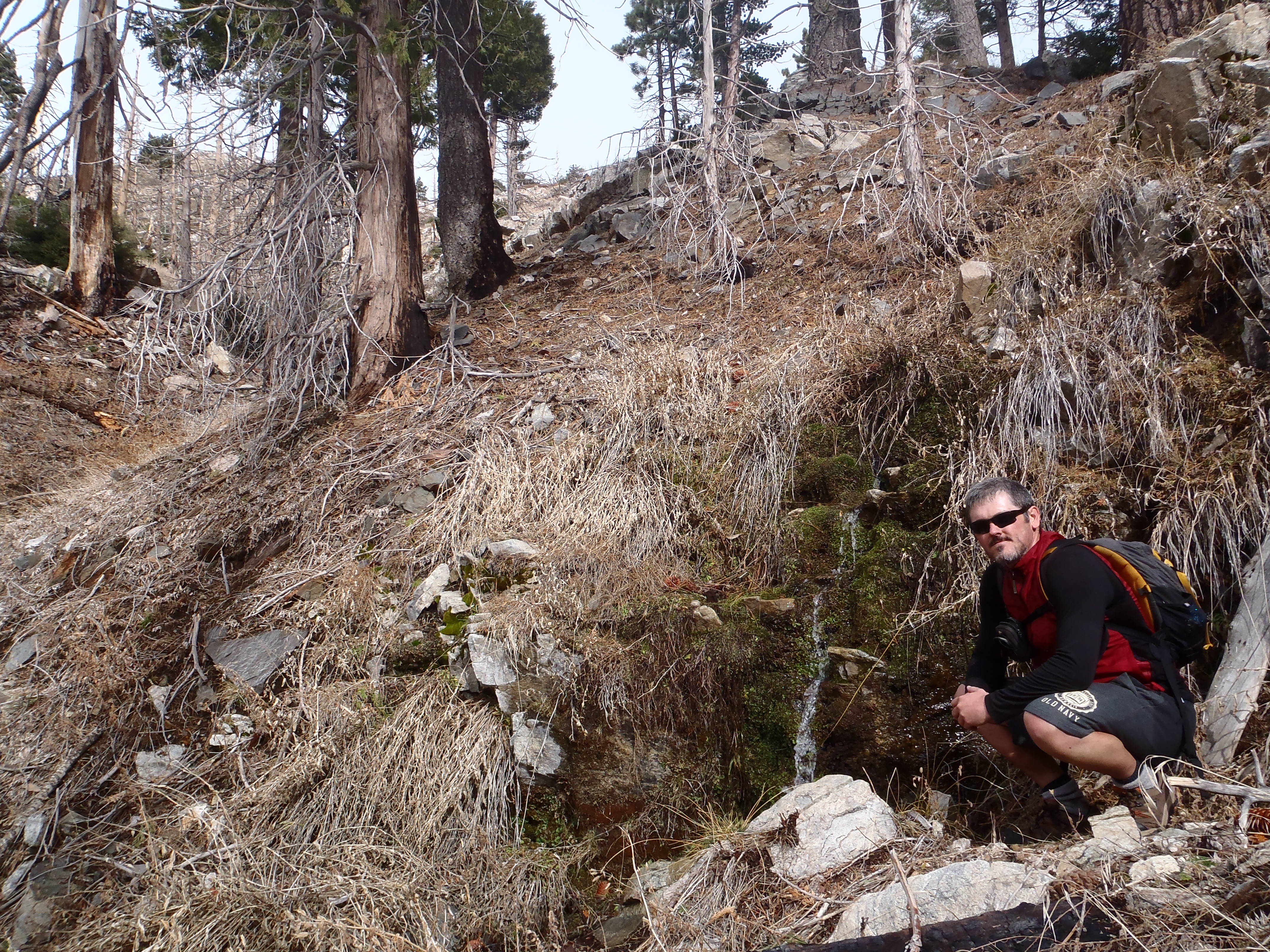
From this ridgeline, it wasn't very difficult to slide down into the main branch, where I found myself about a half-mile above the headwall, near a rushing spring which I could hear slightly down-canyon. At this point I was also above the 30-foot high obstacle mentioned by Brennen.
After briefly visiting the spring, I continued up-canyon, once again finding a stream with lovely cascades and moderate climbing.
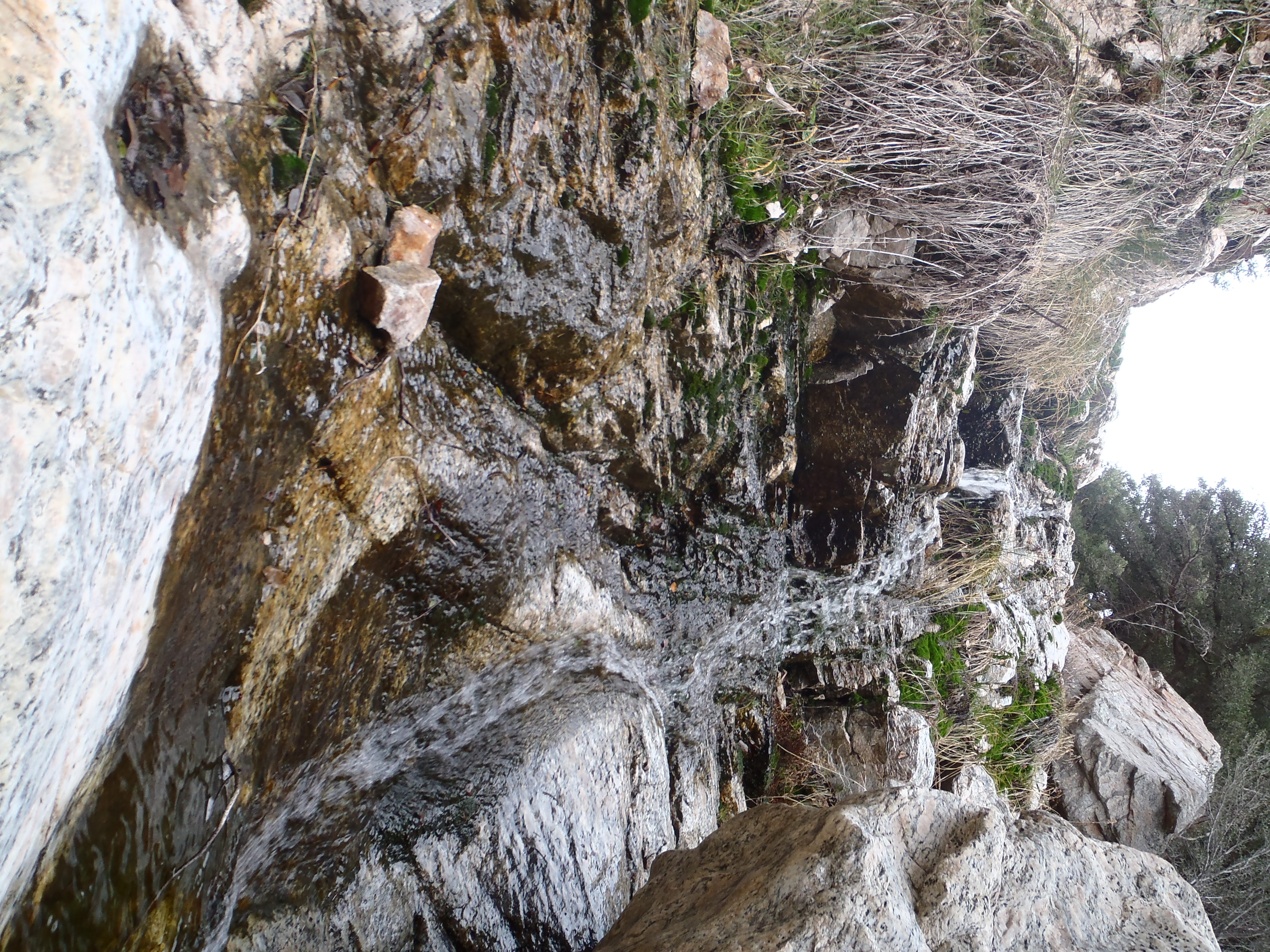
I reached a prominent split around elevation 6100'. I turned right, following the water. Above the split, Rockbound has more beautiful waterfalls to offer, and some challenging scrambling.
Before a bend to the left in the main branch, near where the canyoneers drop in from a tributary branch, I exited up the right side and visited a flat area at the base of South Hawkins' western slope.
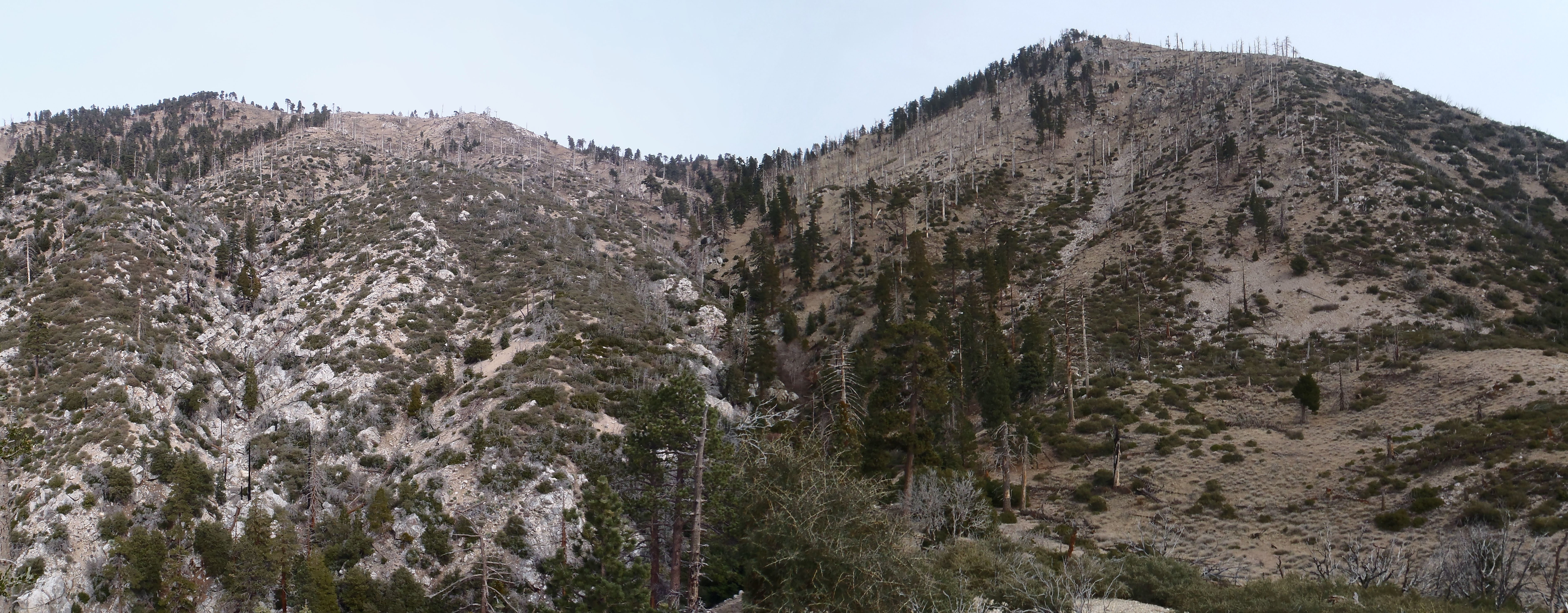
From this point I had a good view of the remaining route. I then started following animal trails along the southeast bank of the stream, avoiding an increasingly brushier and narrower canyon floor. Ultimately the faint trails sent me to a tranquil little spot where two ribbons of water merged from the upper feeder gullies.
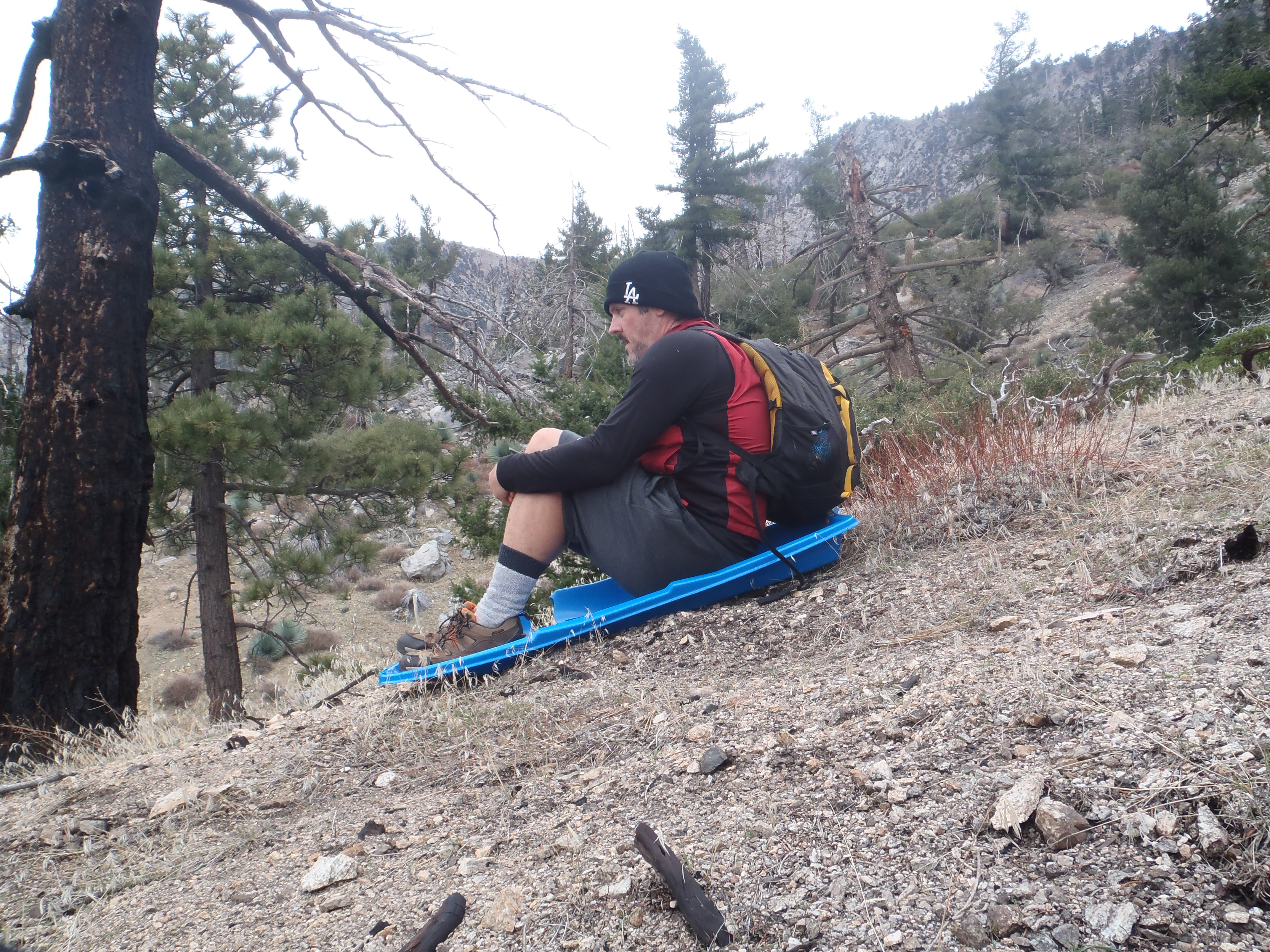
After gathering some water, I figured it was time to leave the fading canyon and ascend one of several easy ridges leading toward the South Hawkins fire road.
I then took the fire road to a point above Pinyon Ridge and shot down the ridge on more faint trails,
making my way to the Crystal Lake Cafe by 3:30pm.
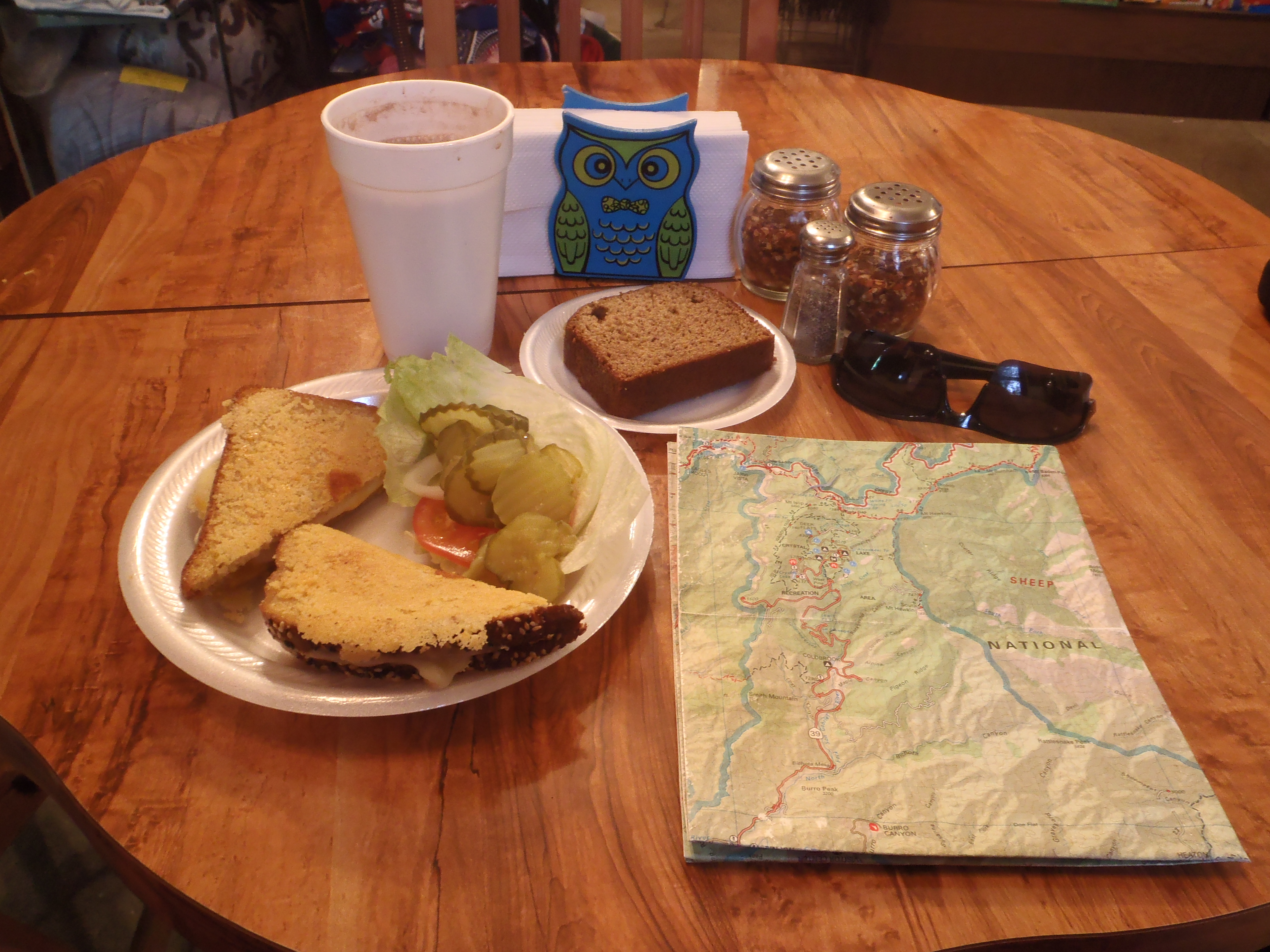
After wolfing down a grilled cheese sandwich and some banana bread, I got the not-so-brilliant idea of trying to follow Cedar and Soldier Creeks back to my car, rather than simply walking the highway. It took much longer than expected to negotiate Soldier Creek, which, by the way, has some really cool multi-colored cascades.
It was already getting dark, and I hadn't even made it to Lewis Falls. I had thought that if I could get to the falls before dark, then I would find a bypass and walk the easy trail below it to the highway. But plans don't always work out. I didn't know what to expect at the top of Lewis Falls in complete darkness. So instead I bailed on the canyon and began climbing up a steep slope to the west.
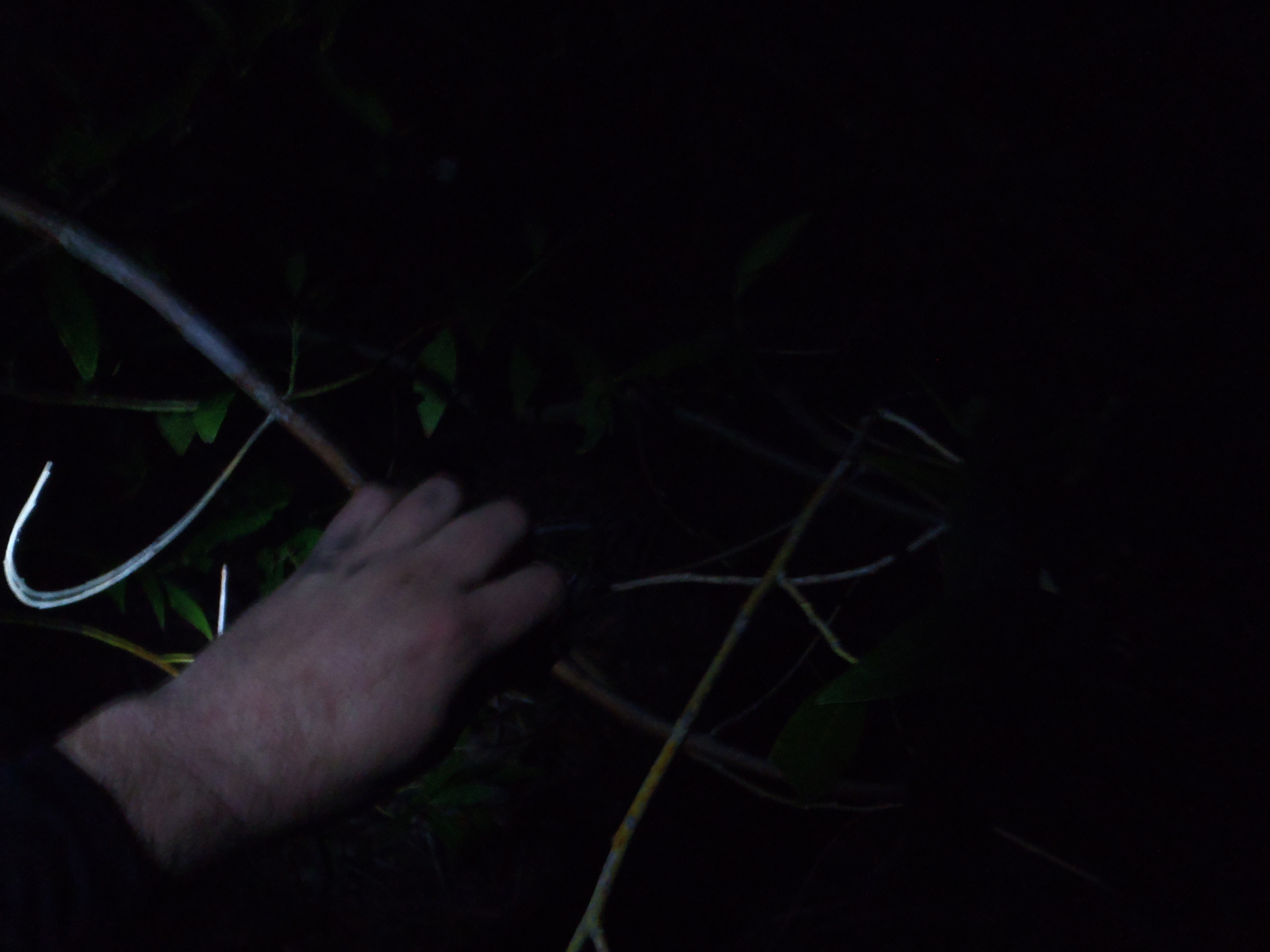
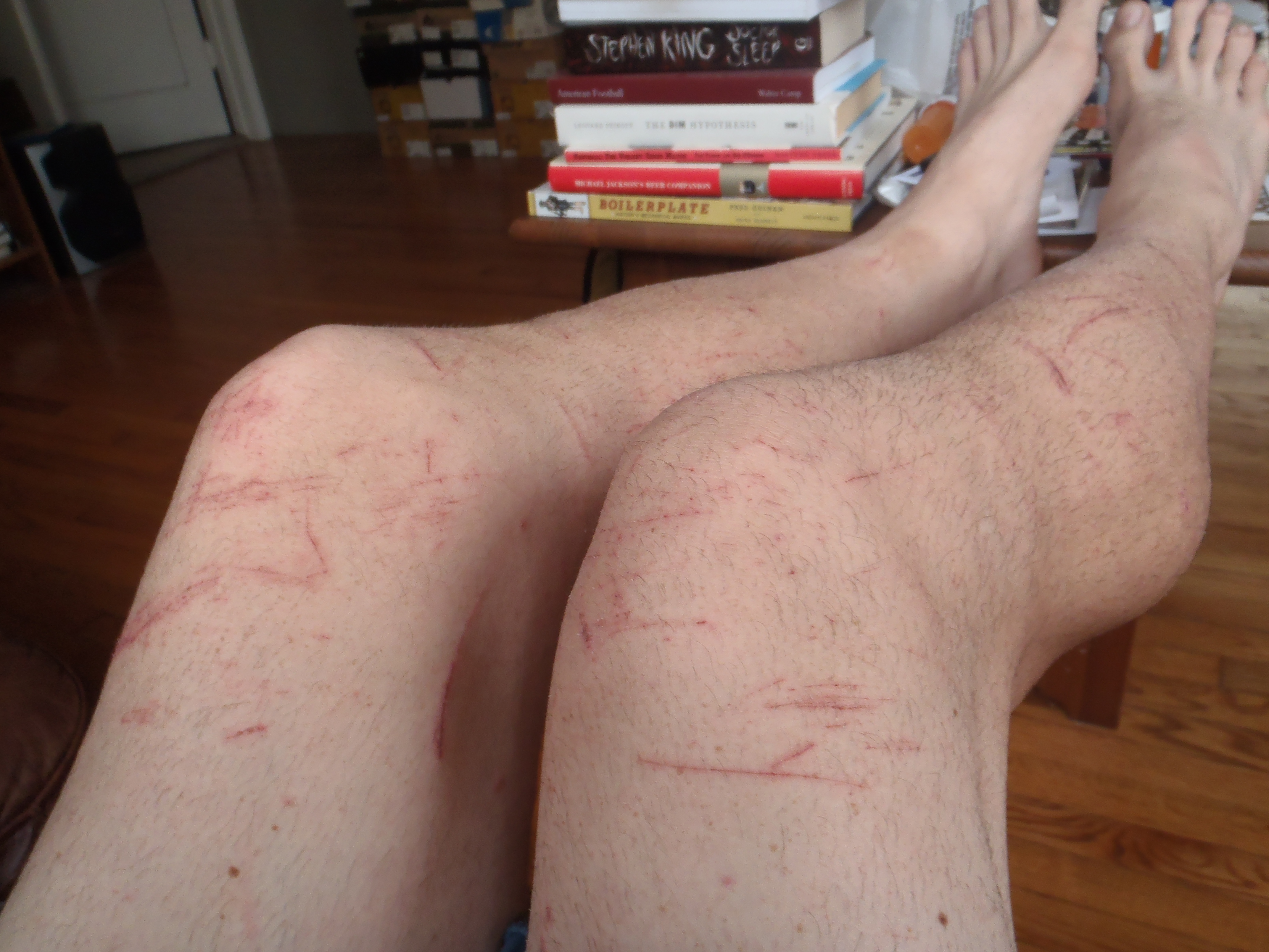
I encountered a whole host of pain-inducing plants and tree branches. With my headlamp on I managed to reach a viewpoint where I could see cars on the highway below. They looked far away. I wasn't sure which part of the twisting road they were on, so I really wasn't sure how close I was to the segment of road nearest me. I decided to simply head south down the slope, because eventually that should get me to some part of the roadway, as long as I didn't fall off a cliff or something. I also knew, from consulting my map, that there was a fire road west of Lewis Falls. Maybe I would bump into that.
Between me and the road was nothing but misery, a wall of thorny, probably poisonous, San Gabriel Mountain madness. And I was in shorts. I stepped through and crawled under deadfall that came up to my waist. Sometimes I tried to lift my leg out of a mess, only to be stopped by the searing pain of thorny vines that had entrapped my bare legs. Carefully I removed them with my bare fingers, because I had stupidly forgotten that my bushwhacking gloves were in my pack. On the slope I stumbled several times and sort of flailed around in thick beds of whatever, as if struggling in a giant spiderweb.
At least the cars on the highway were getting closer. Then suddenly I literally collapsed through a bush and onto a fire road. If Olympic judges had been present, I'm sure they would have laughed their asses off before giving me negative points in the double digits. Still, I have never been so happy to see a fire road.
I finally reached the car at 7pm, ten hours after leaving it that morning. I drove home, took a shower, and spent an hour digging little black thorns out of my hands and legs.