

I hiked this route yesterday. The fire break is mostly clear. The exceptions are:
- the drop from point 2543 to the drainage bottom at about 2150ft which is very overgrown
- point 4693 to Smith Mountain, which isn't so much a firebreak as a use trail
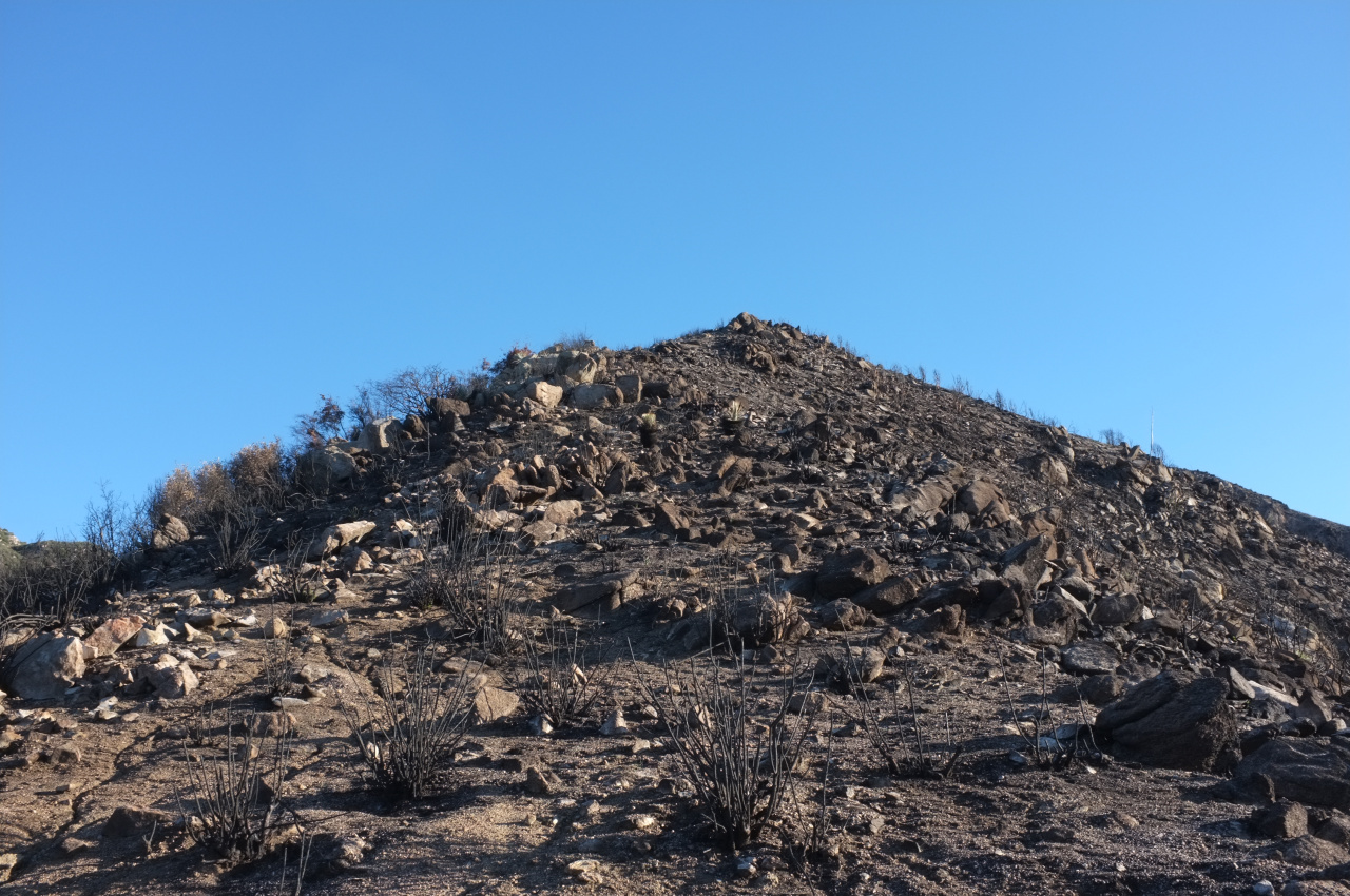
Both of these segments are fairly short. The area between point 3725 and 4693 is heavily burned from some very-recent fire. There's nothing green there at all, so it must have happened this year.
Past Smith Mountain the trail drops to a saddle, then enters the San Gabriel Wilderness; the terrain becomes much more green. The trail down to Bear Creek is in great shape and is fairly pleasant. Bear Creek itself is full of water and very verdant. There's no trail per se along the creek itself, rather it's a series of vaguely-defined paths that move around from one riverbank to another. After much boulder-hopping and bushwacking, you arrive back to the west fork, 1 mile away from the parking lot.
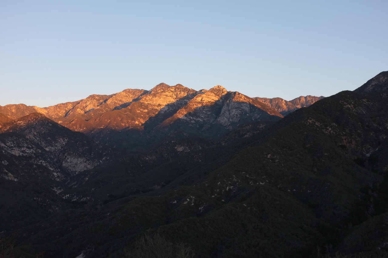
View shortly after dawn near the start of the ridge; Twin peaks and Triplet rocks:
The burned area leading up to point 4693:
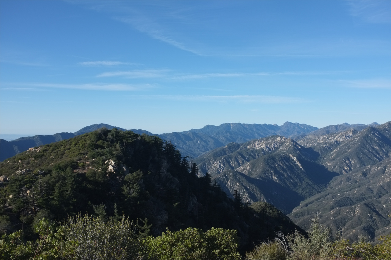
View from the top of Smith Mountain:


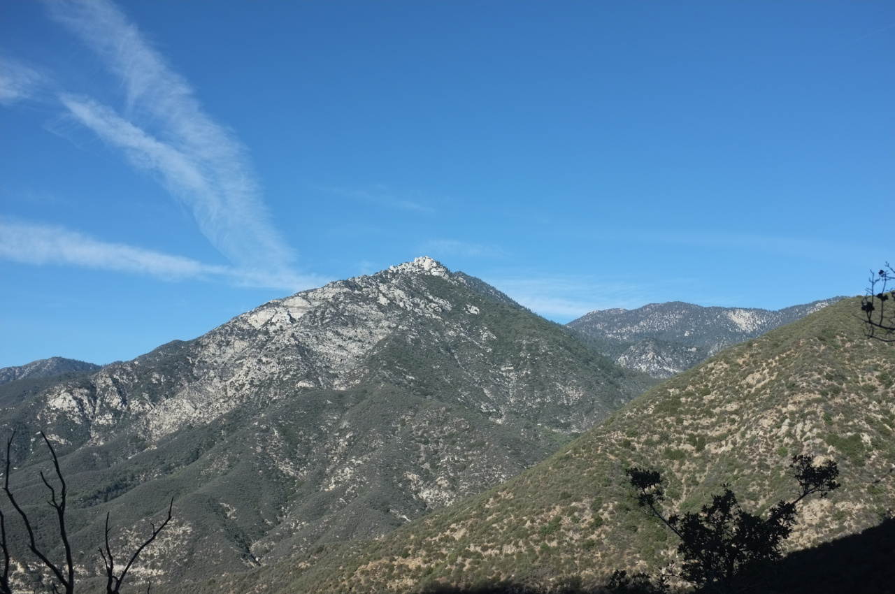
Triplet rocks from the trail down to Bear Canyon:
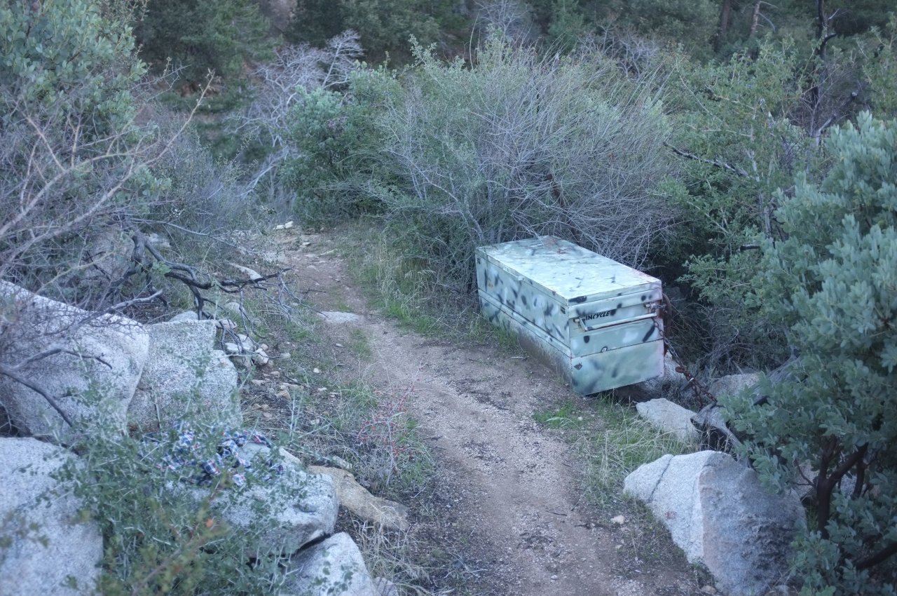
What's in the box???
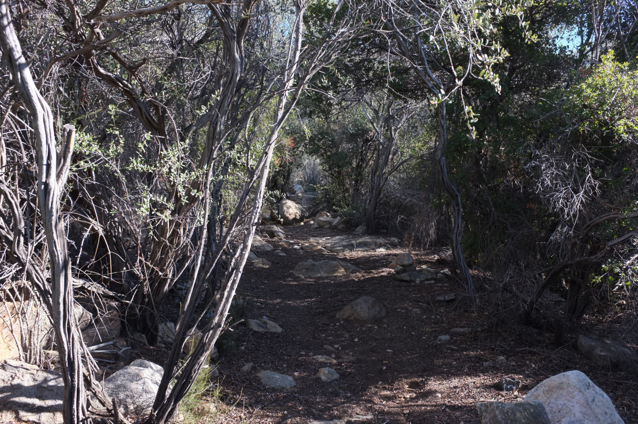
The avenue of manzanita just above Bear Canyon:
Bear Creek:


