Gulch Row (Robbs, Polecat, Browns)

TRs for the San Gabriel Mountains.
Post Reply
User avatar
Sean
Cucamonga
Posts: 3789
Joined: Wed Jul 27, 2011 12:32 pm

Post by Sean »

I've been curious about those gulches west of the San Gabriel Reservoir for some time now. And after the recent storms I thought today would be a good time to check them out.

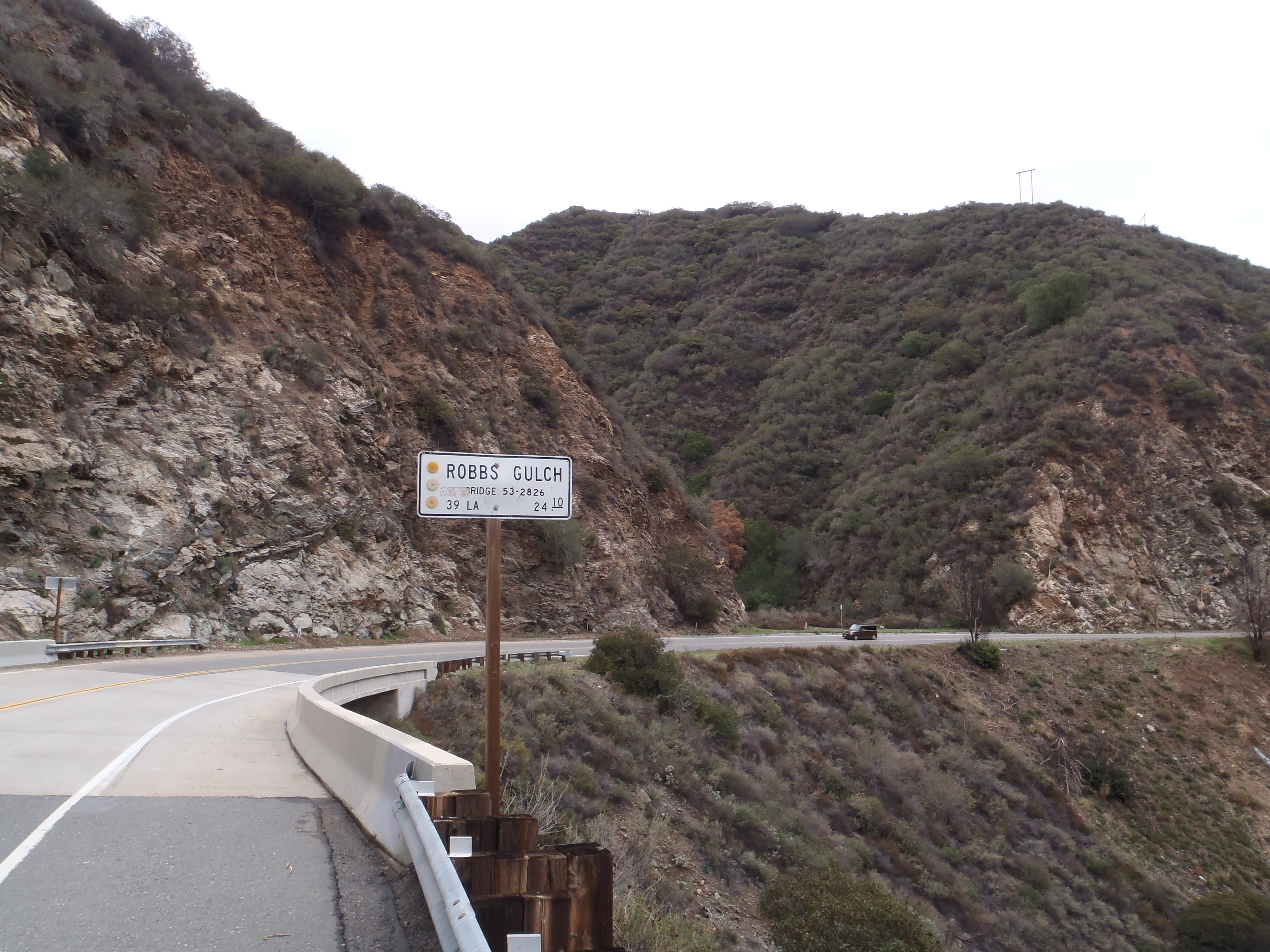
There is a sign for Robbs Gulch along the CA-39. I parked shortly after the sign in a turnout directly across from the canyon.

Image

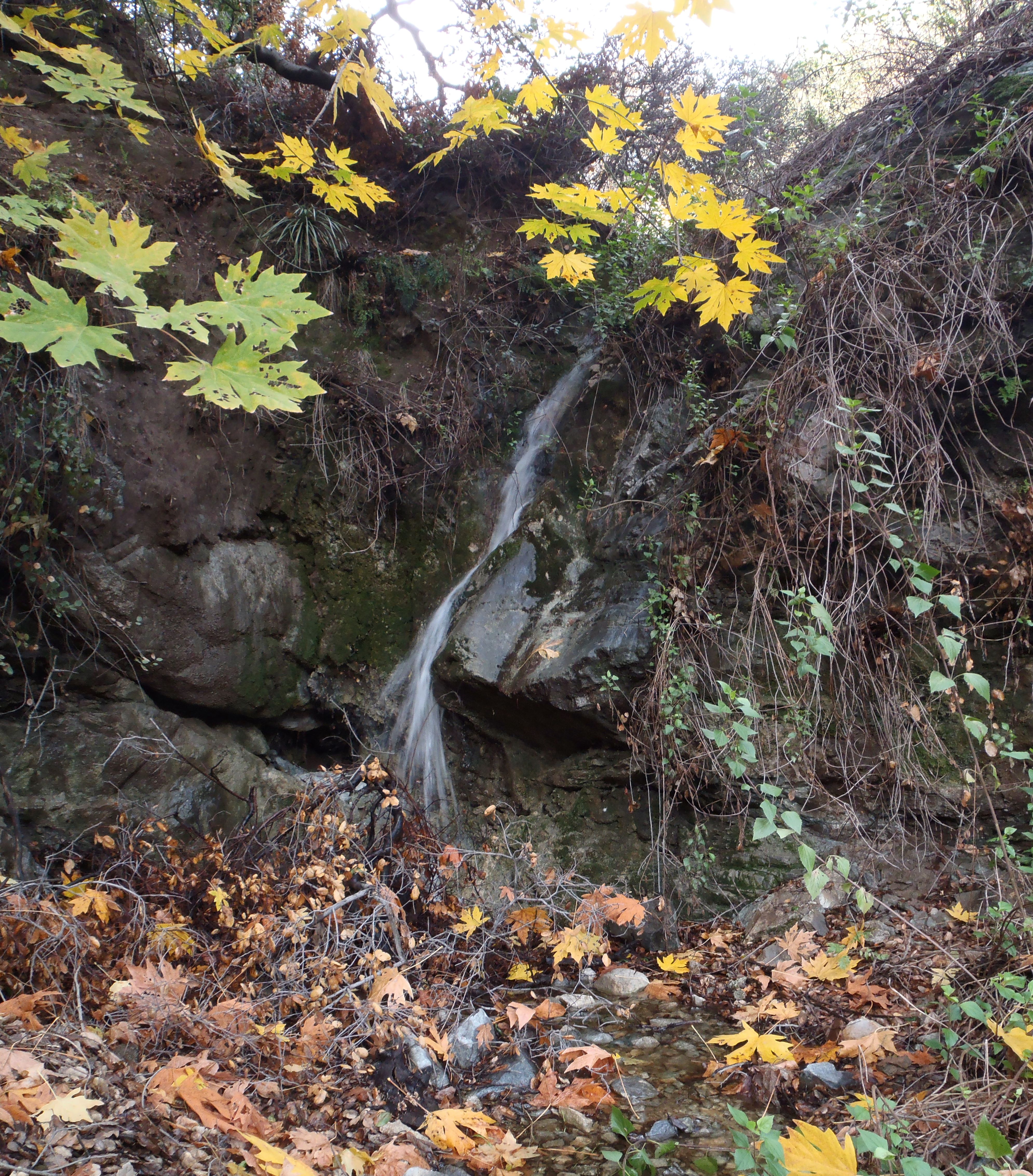
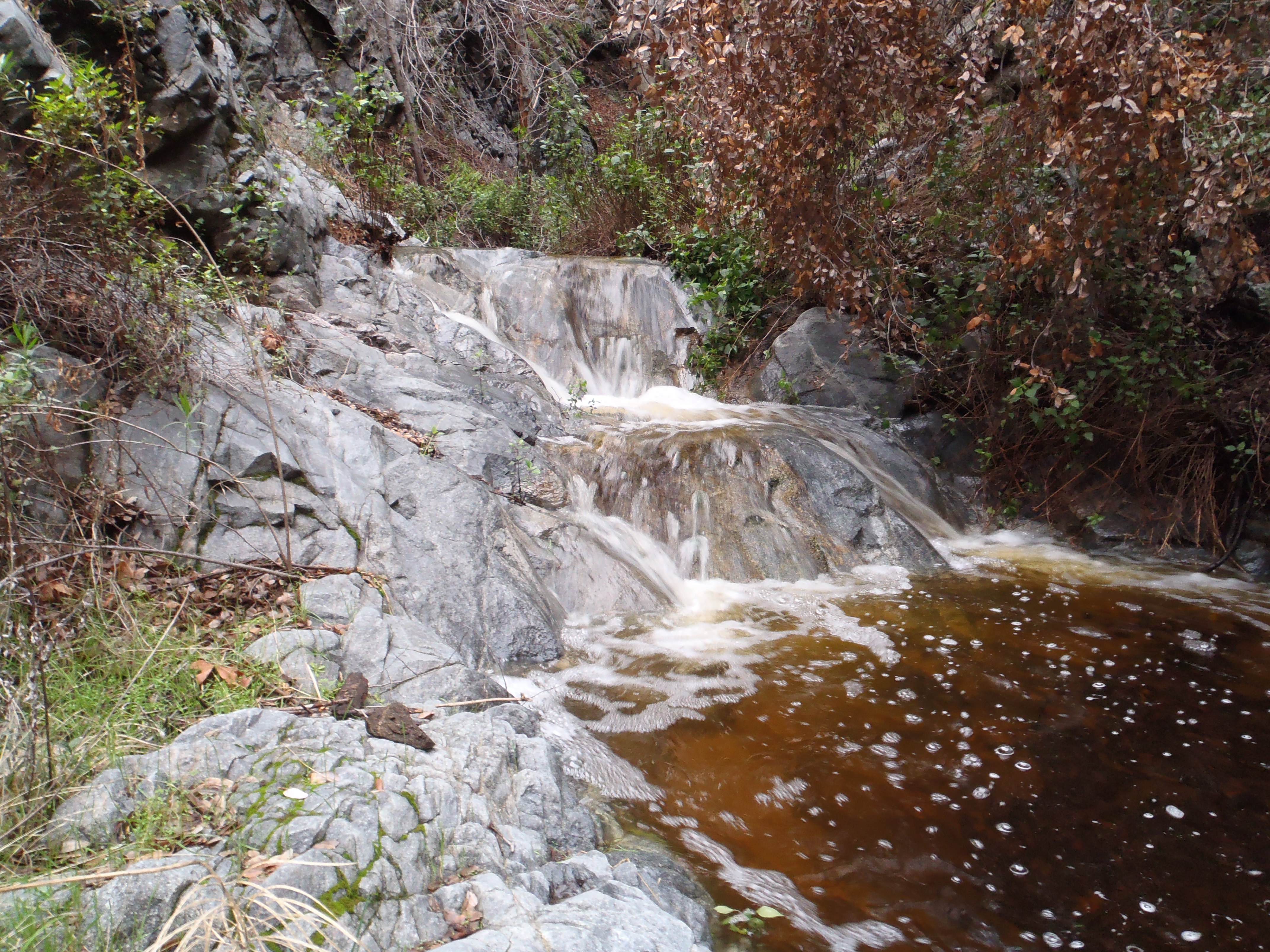
I was delighted to meet a good flow of water immediately upon entering the canyon.

Image

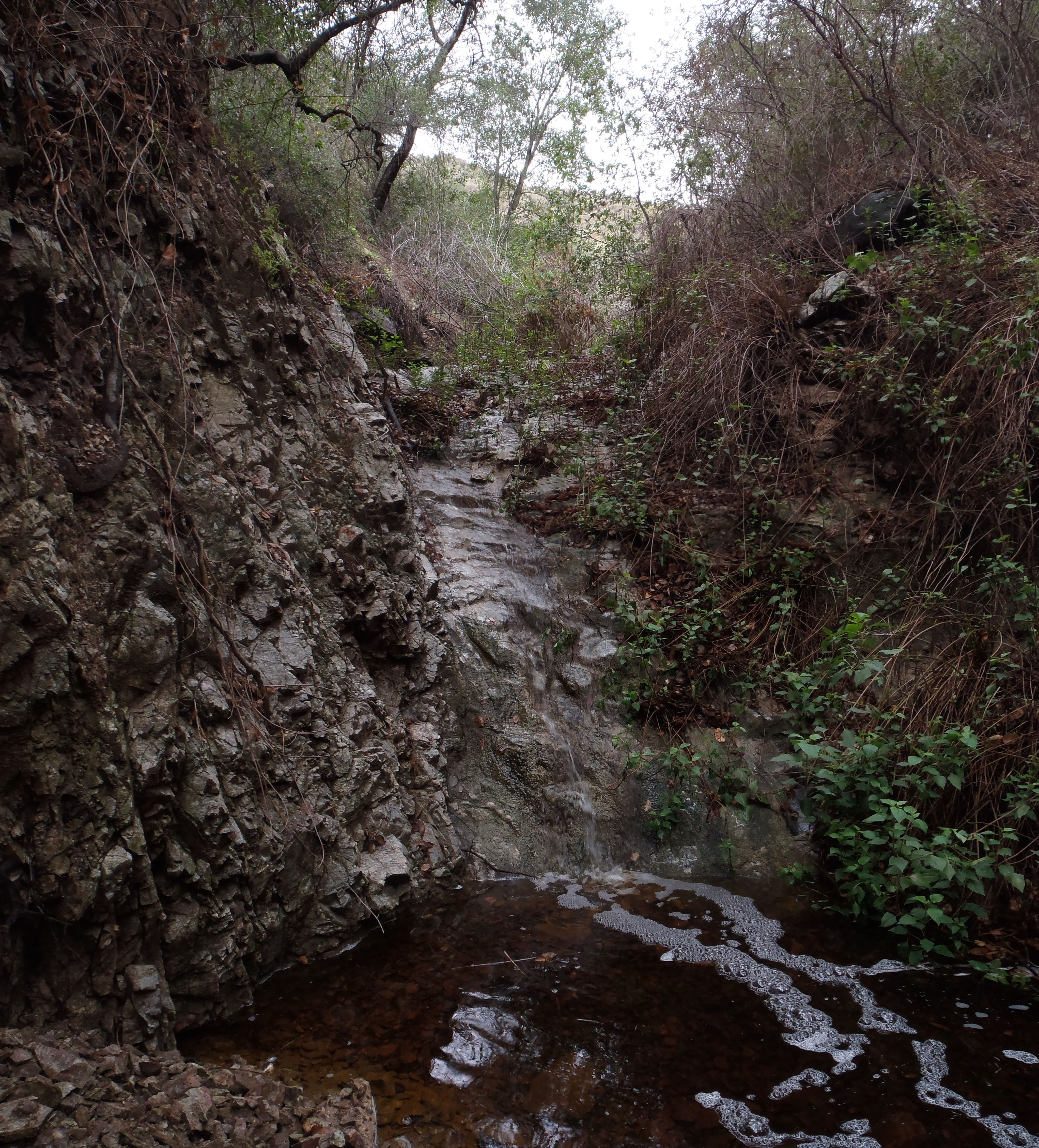
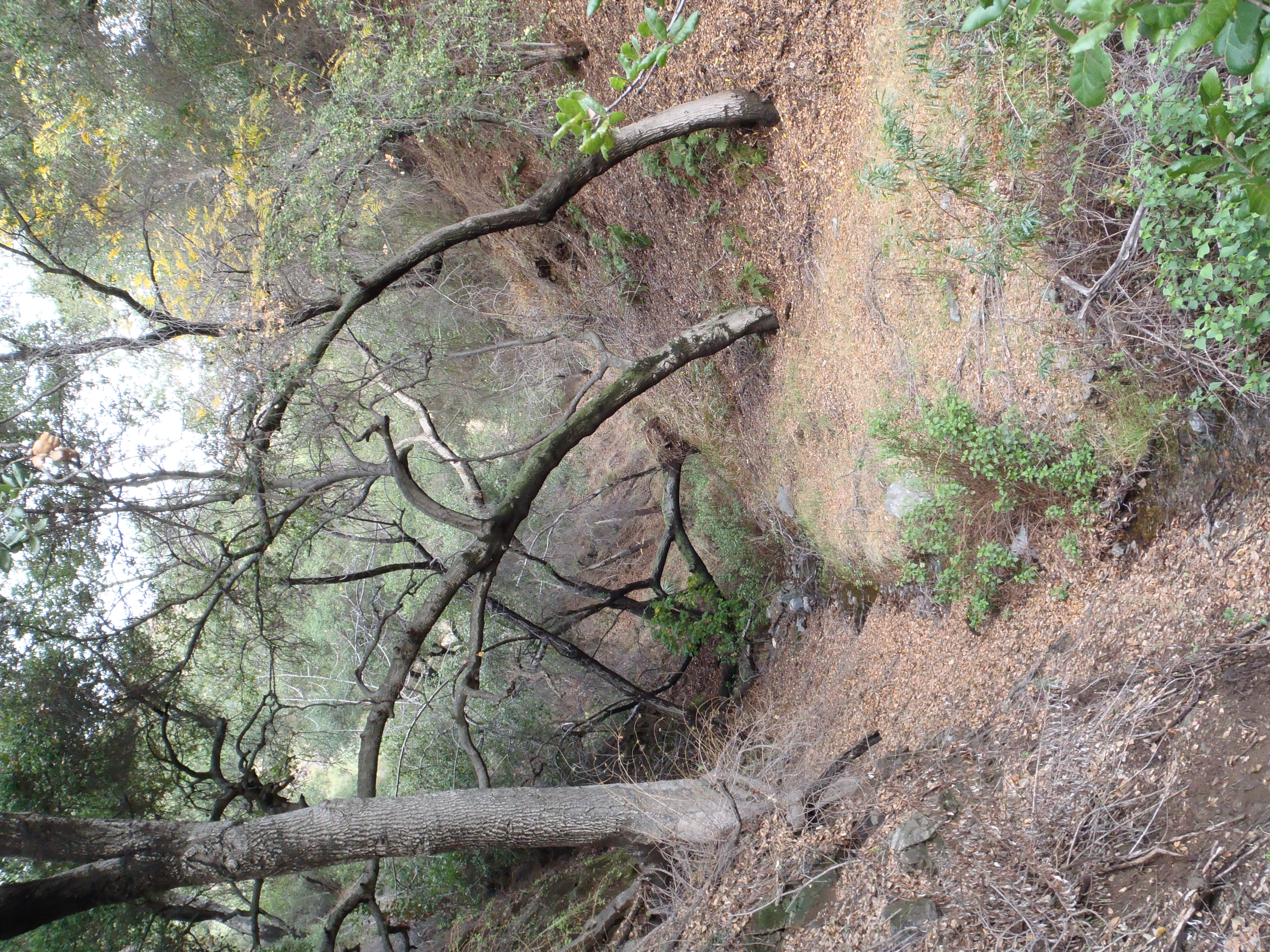
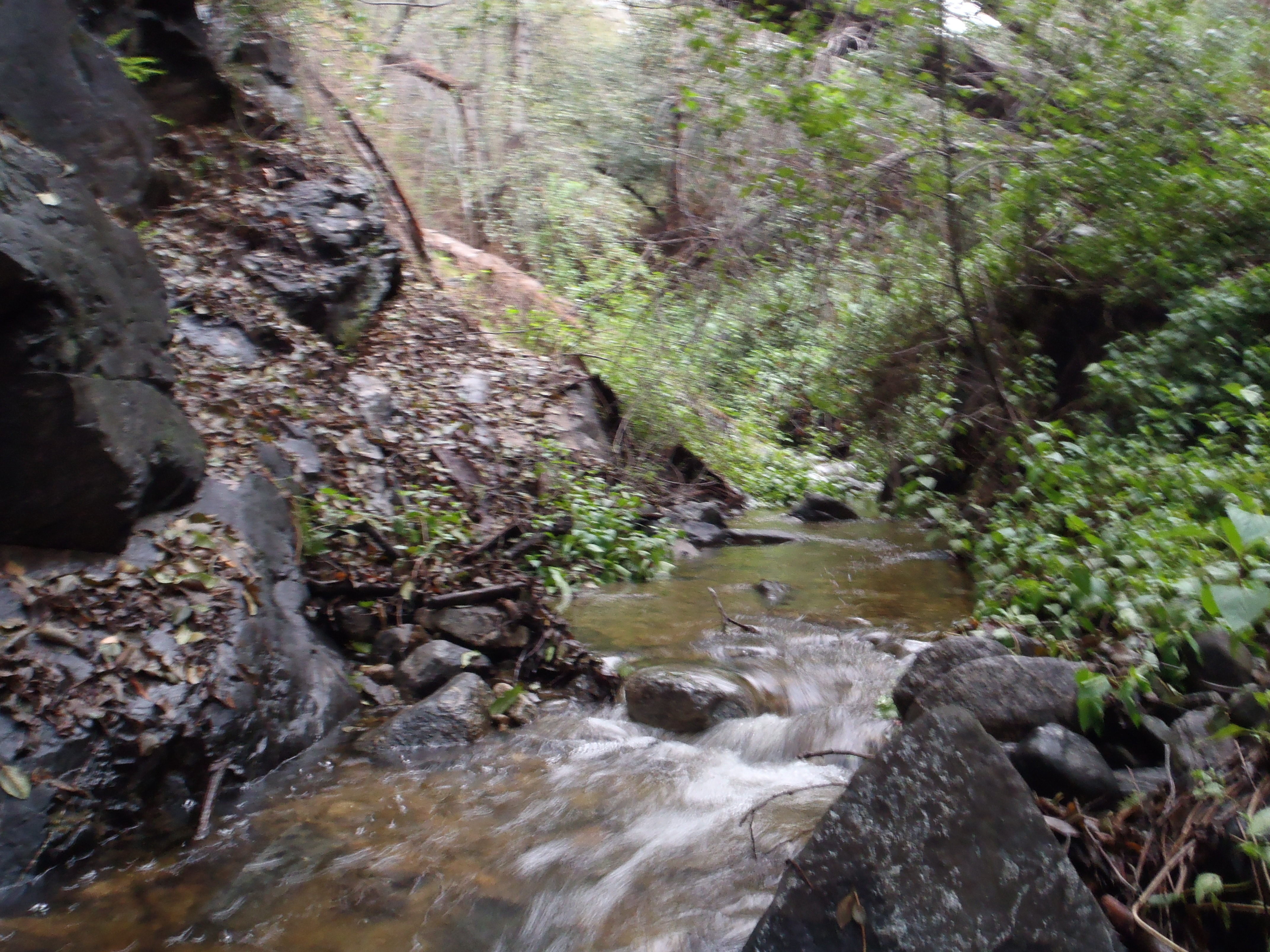
Not much of a use path in this place, so I had to do some crawling under and around branches.

Image

Image

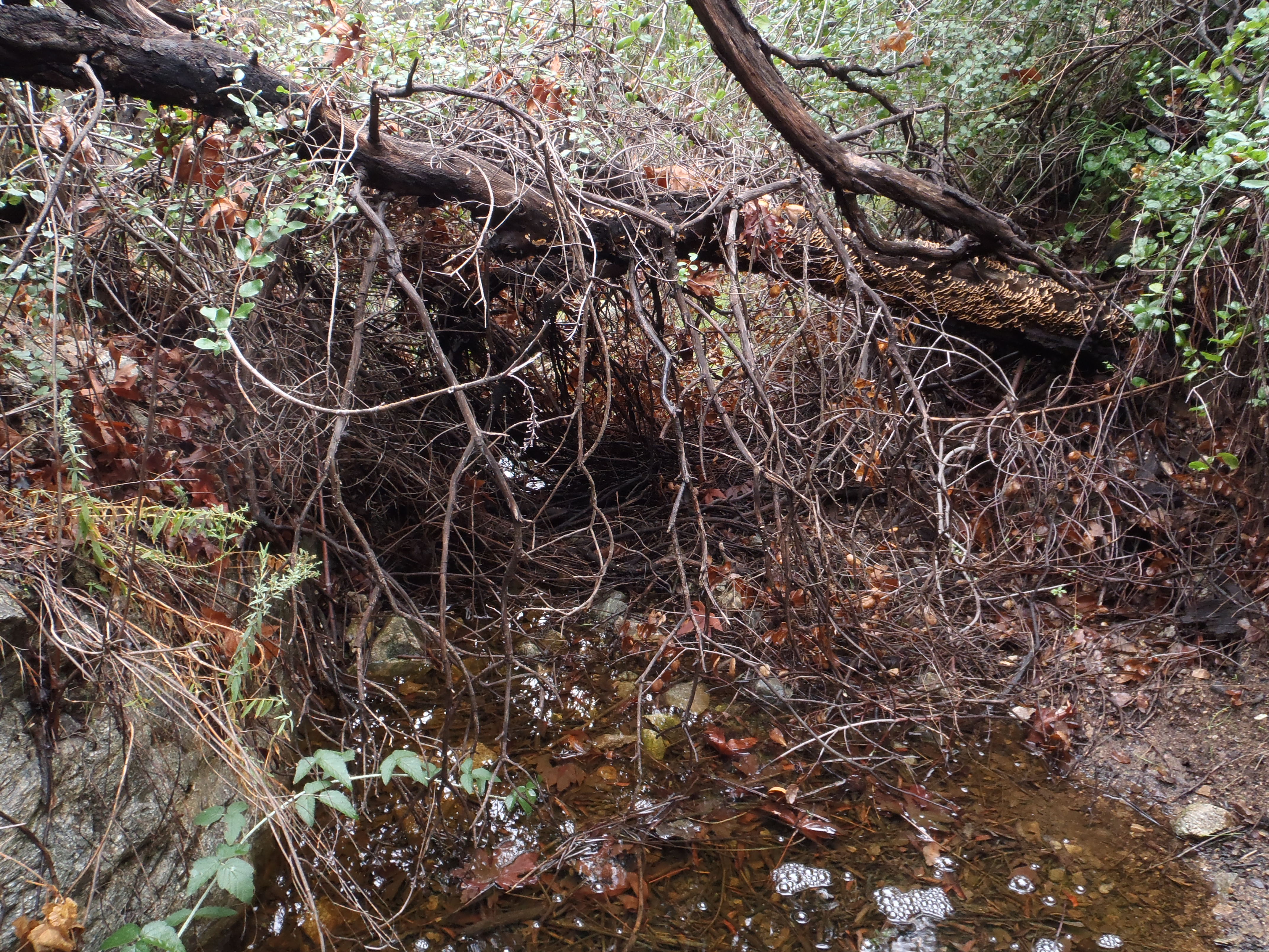
After maybe a half-hour of scrambling around, I happened upon a 15-foot waterfall obstacle that stopped my progress.

Image

In dry conditions you could probably find a class 3/4 route up the left side.

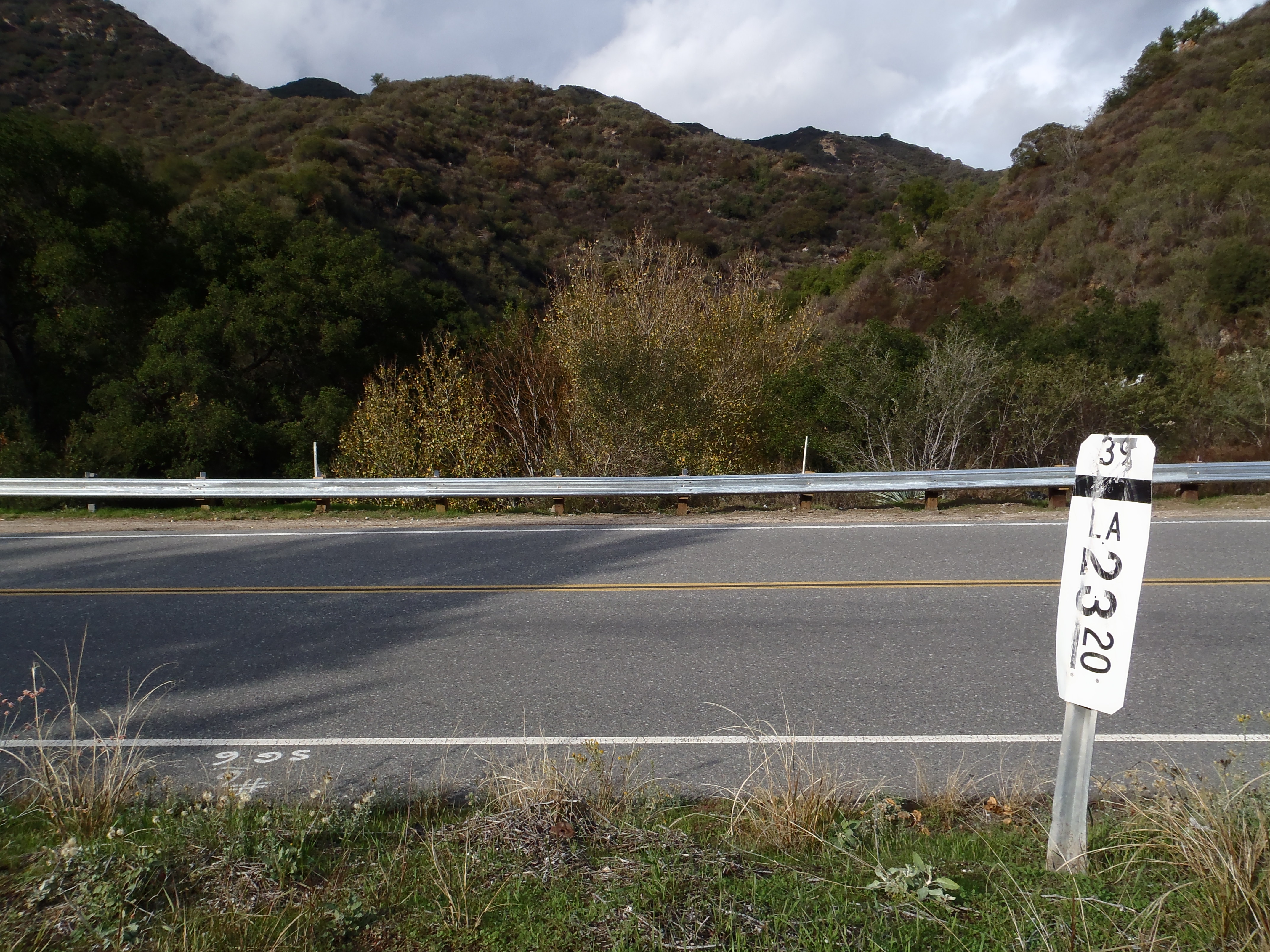
I then drove down the road a bit to Polecat Gulch. No sign here. Just a mile marker to find.

Image

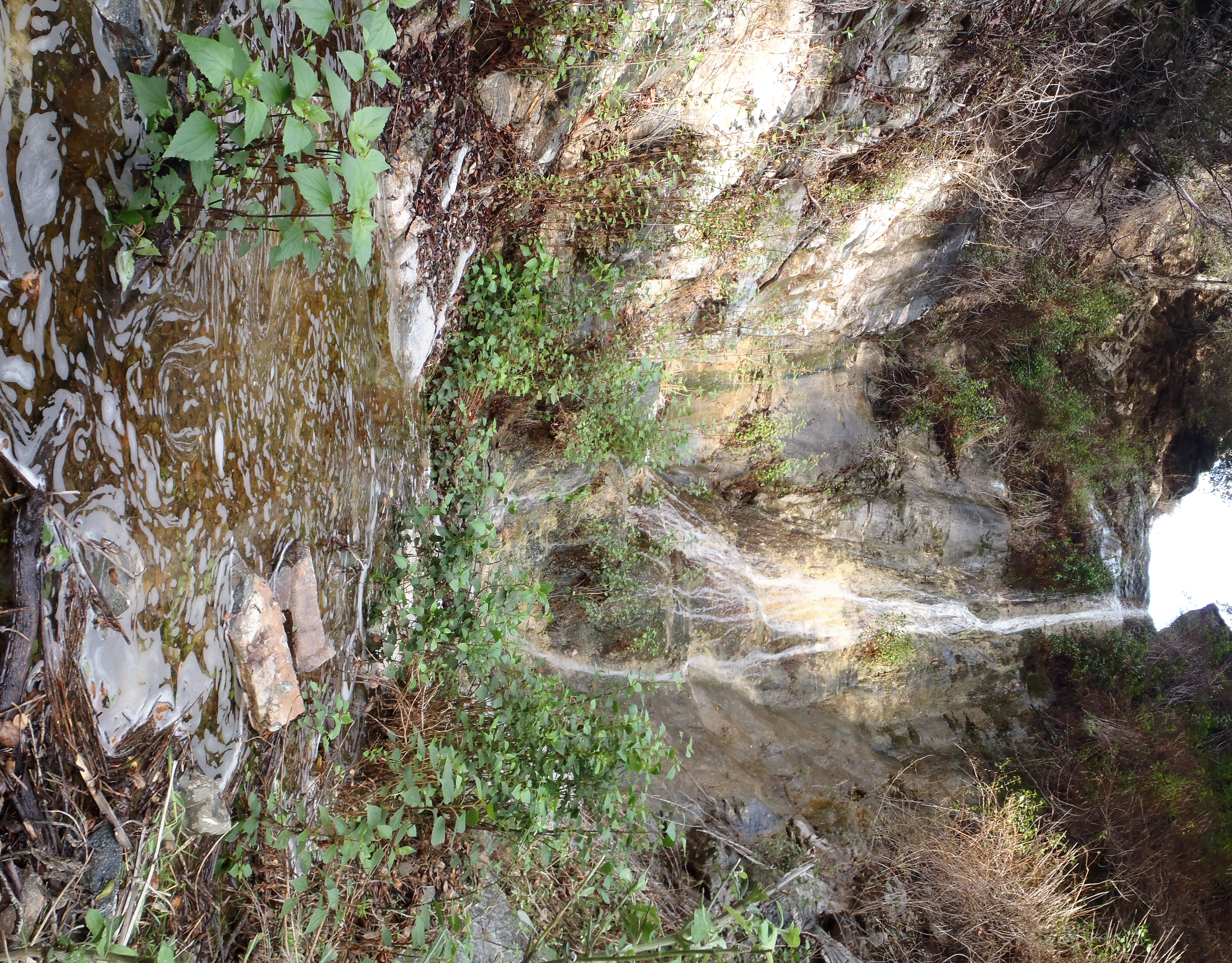
Not far up the canyon is the first impressive waterfall.

Image

This fall can be bypassed on the left using an exposed, narrow use path (class 2). Then the canyon lets you relax for a few minutes.

Image

But soon there is this amazing thing.

Image

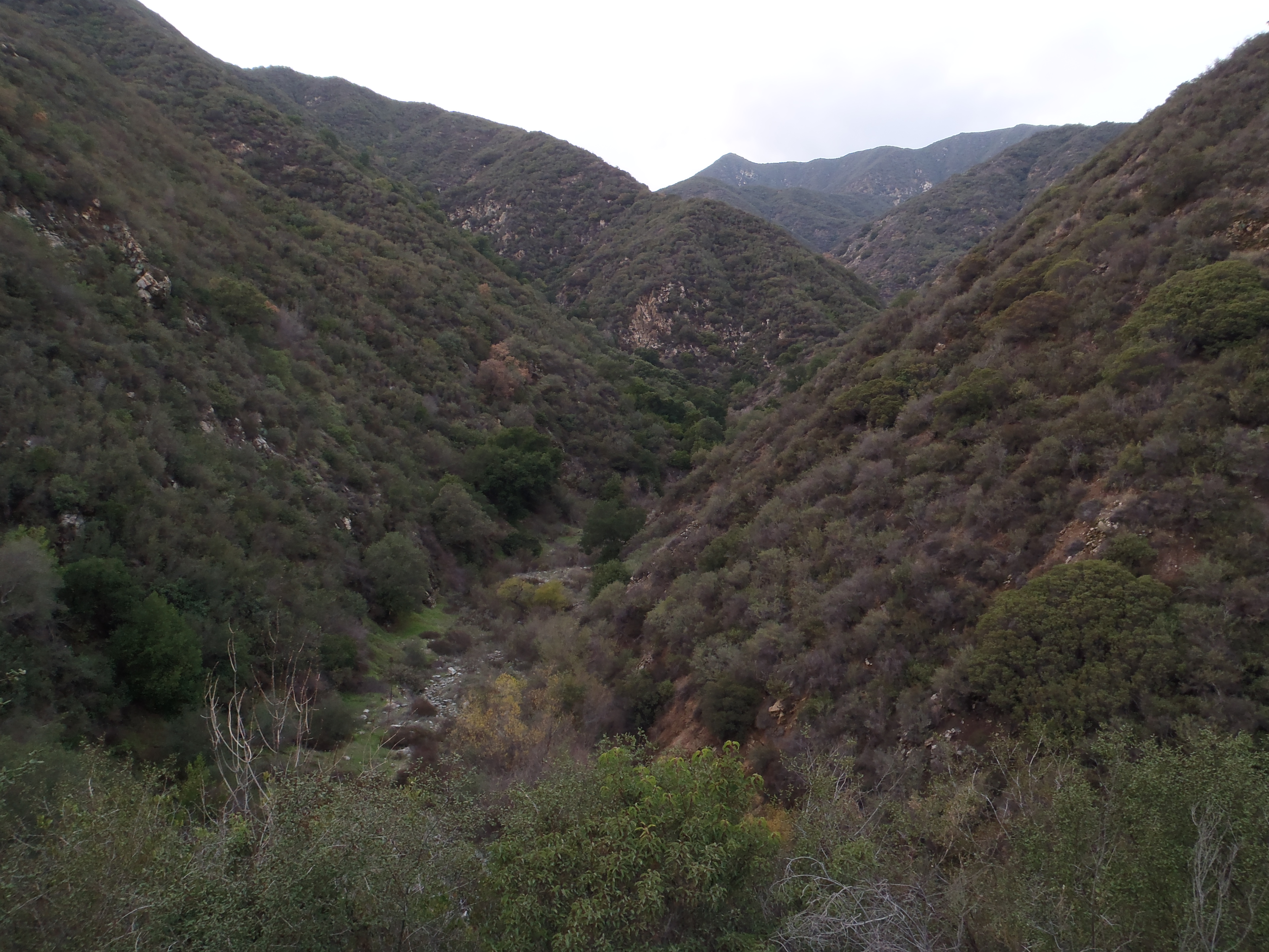
Getting around the second, 50-foot waterfall would have taken too much effort, so I turned around.

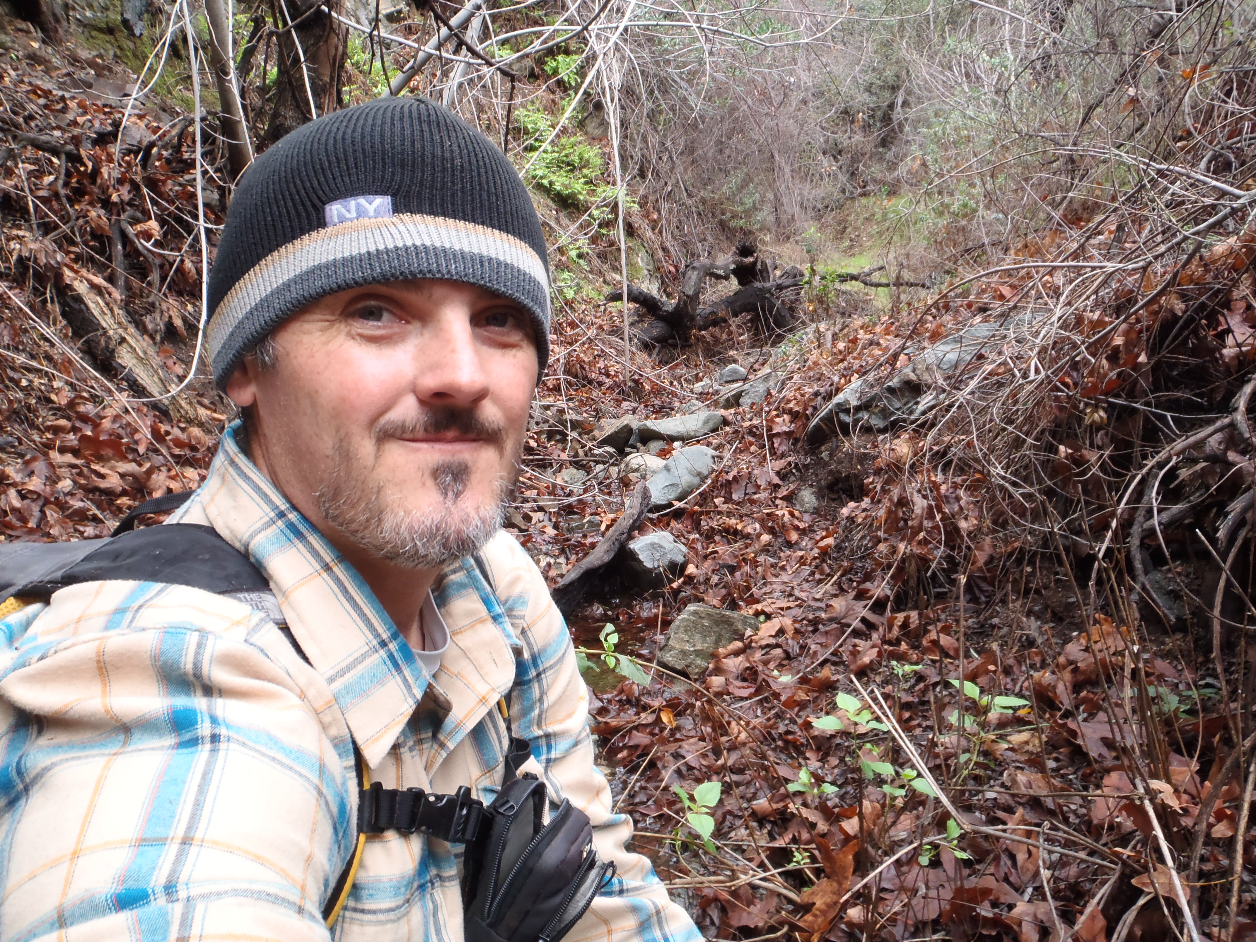
I still needed to check out Browns Gulch.

Image

A road sign identifies it as Pejsa Canyon,

Image

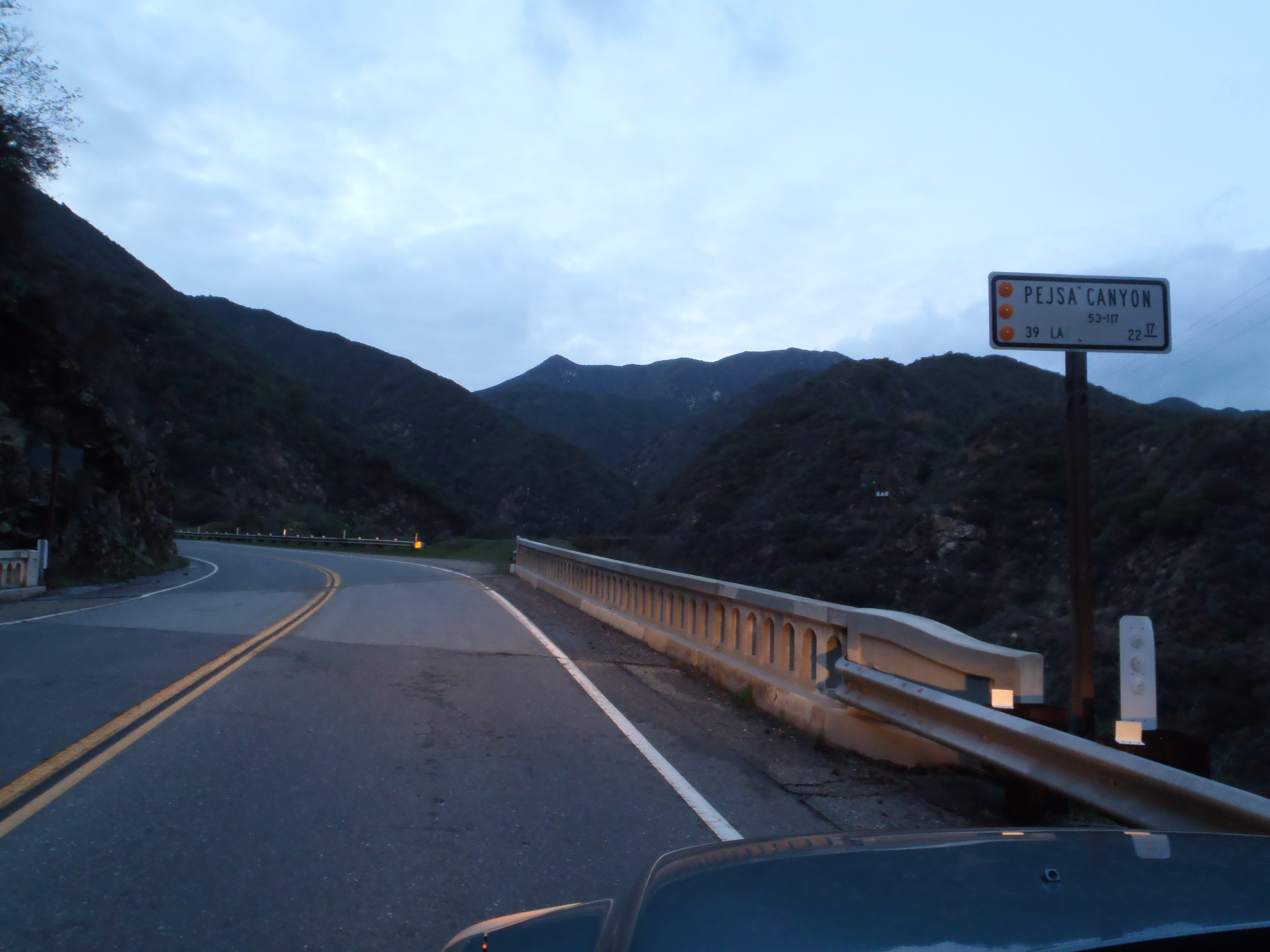
but Tom Harrison labels it Browns Gulch. And I like the idea of there being three gulches in a row, so I'm going with Browns Gulch.

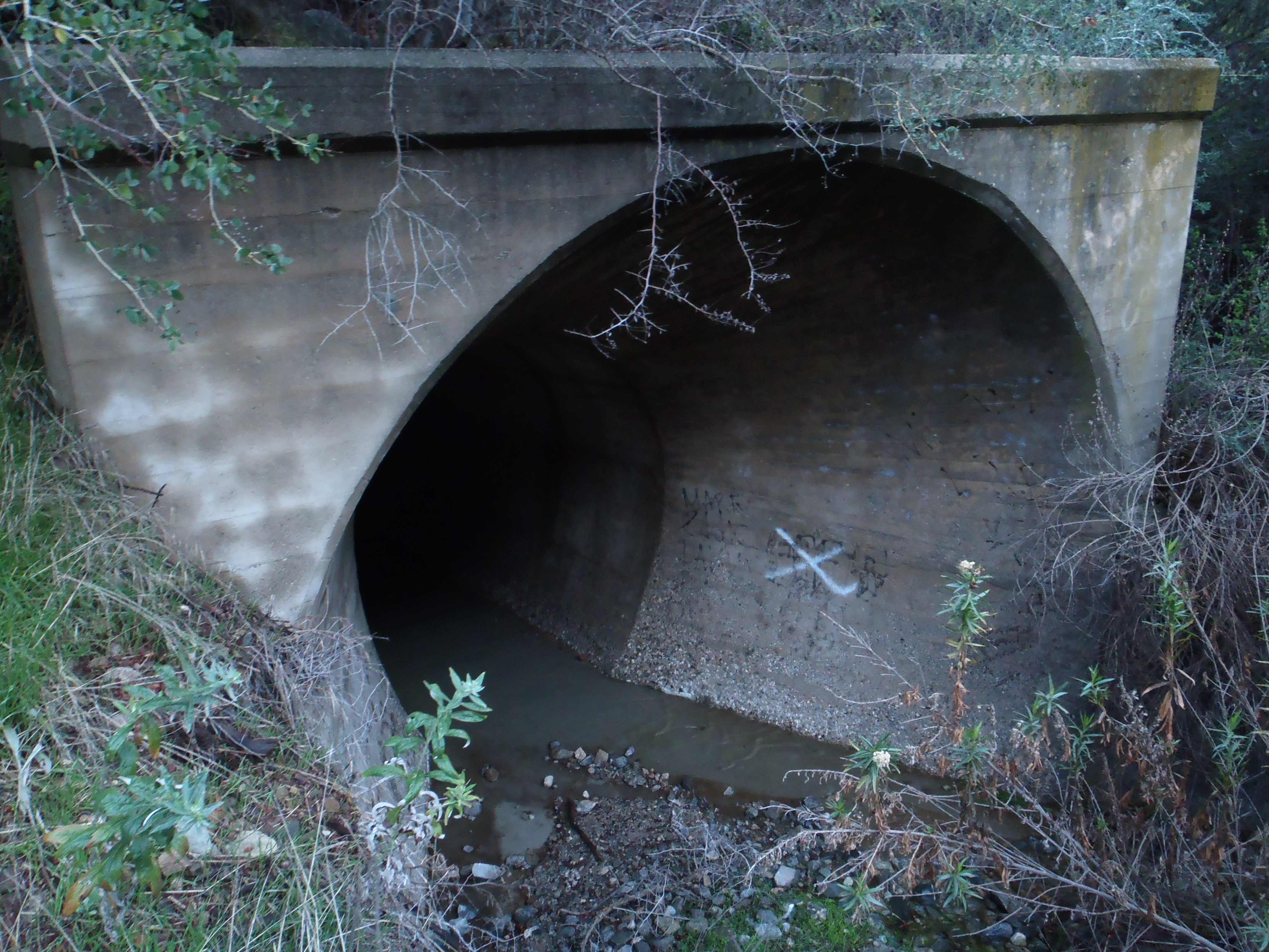
After a steep drop-in on the left side of the canyon from the road, the gulch is somewhat wide initially. There is a large storm drain on the right side under the road, which takes some effort to reach.

Image

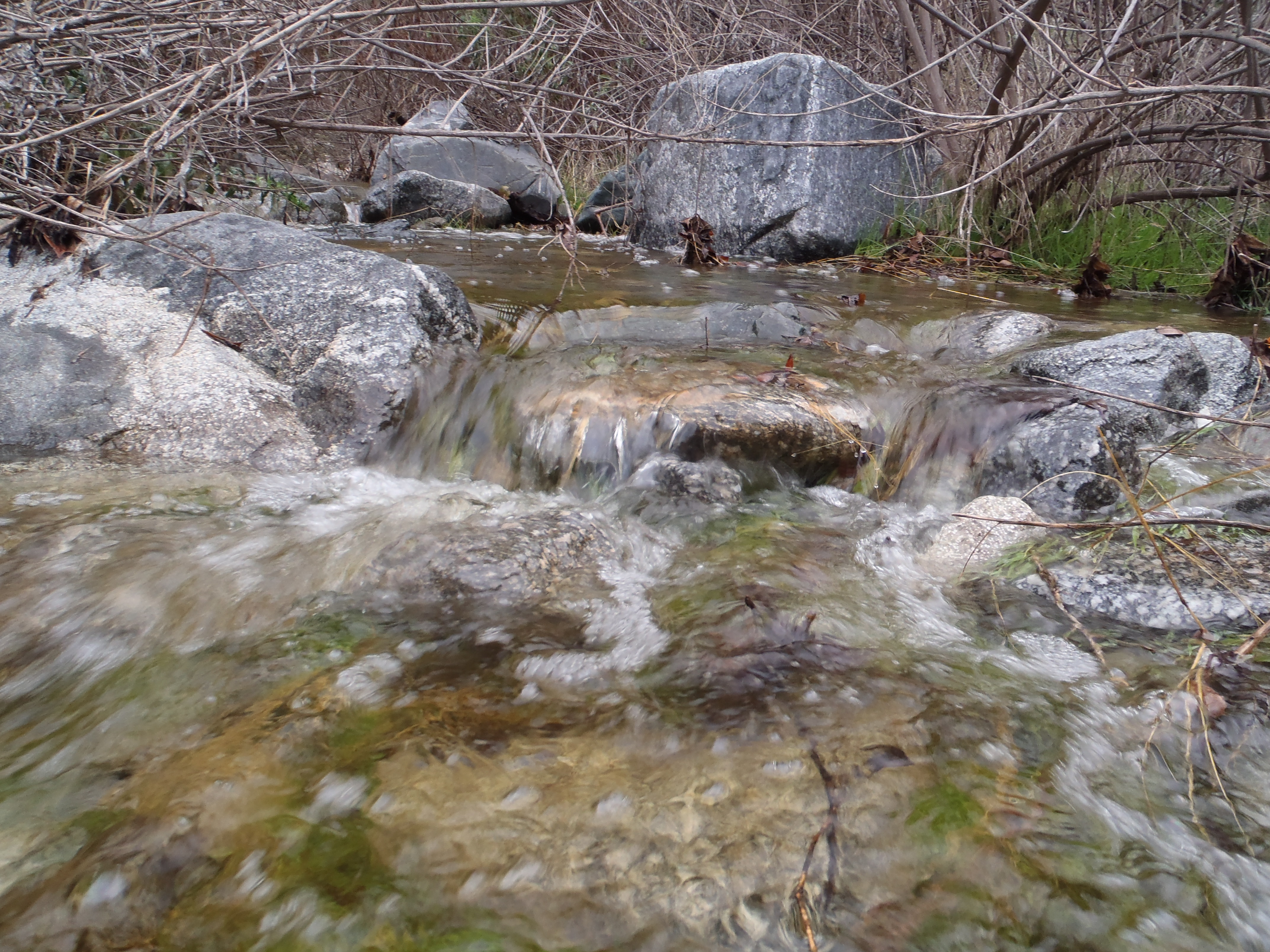
Heading up-canyon, a use path crosses the stream several times.

Image

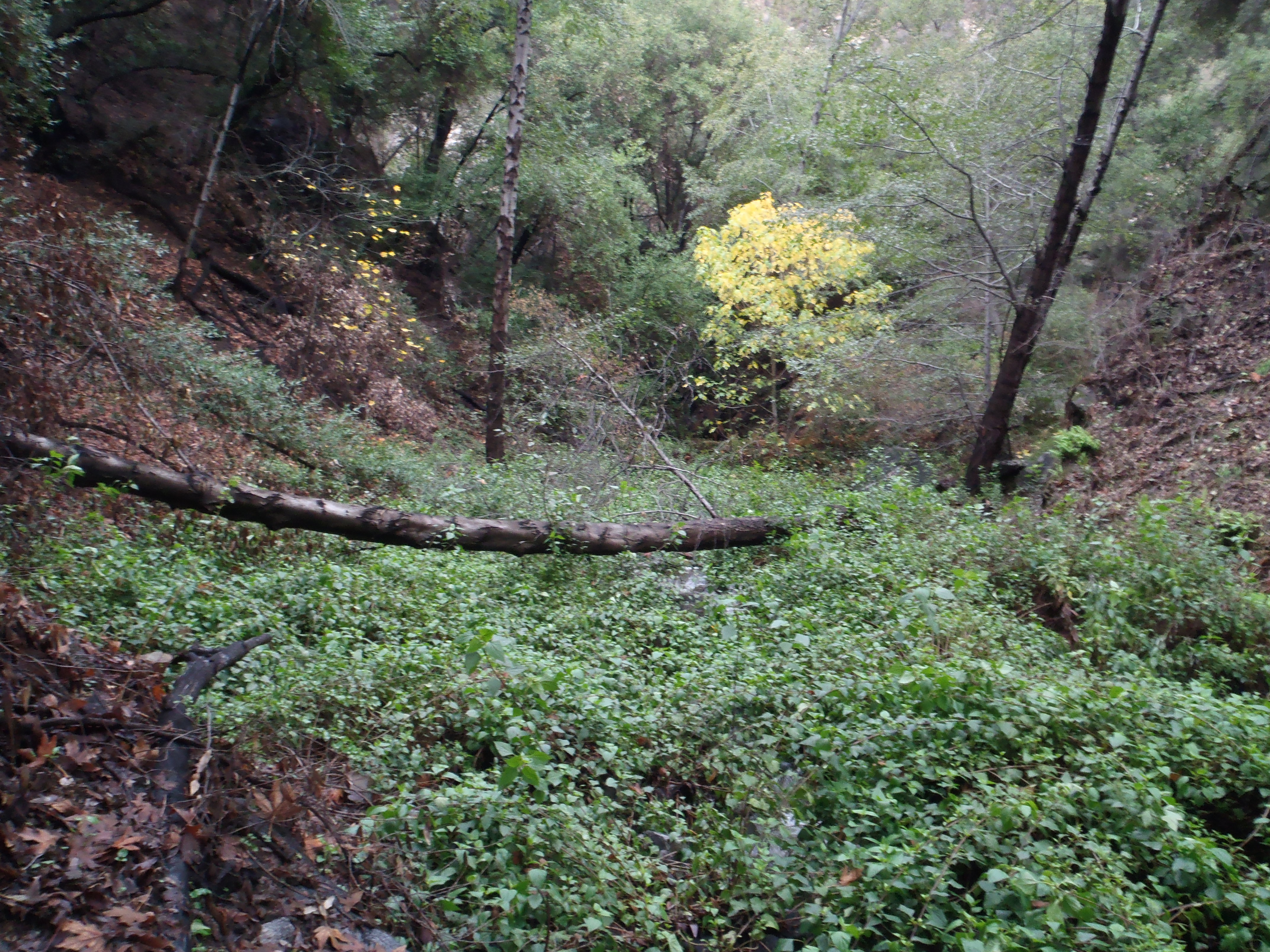
The path soon evaporates and the real scrambling begins.

Image

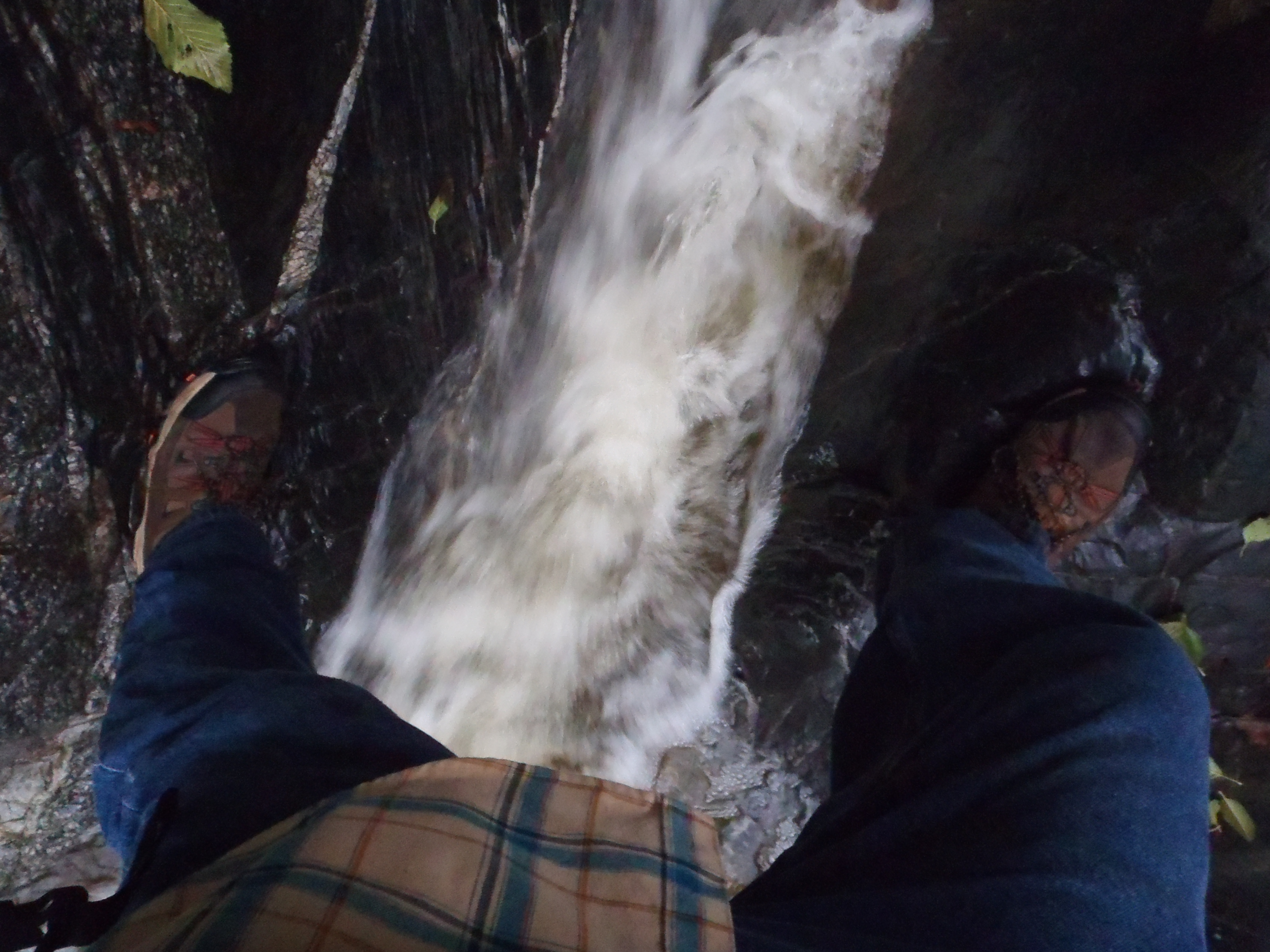
I kept climbing for maybe an hour (before hitting my turnaround time) and did not encounter any class 3 obstacles or waterfalls requiring scary bypasses. The gulch does, however, have some impressive cascades.

Image

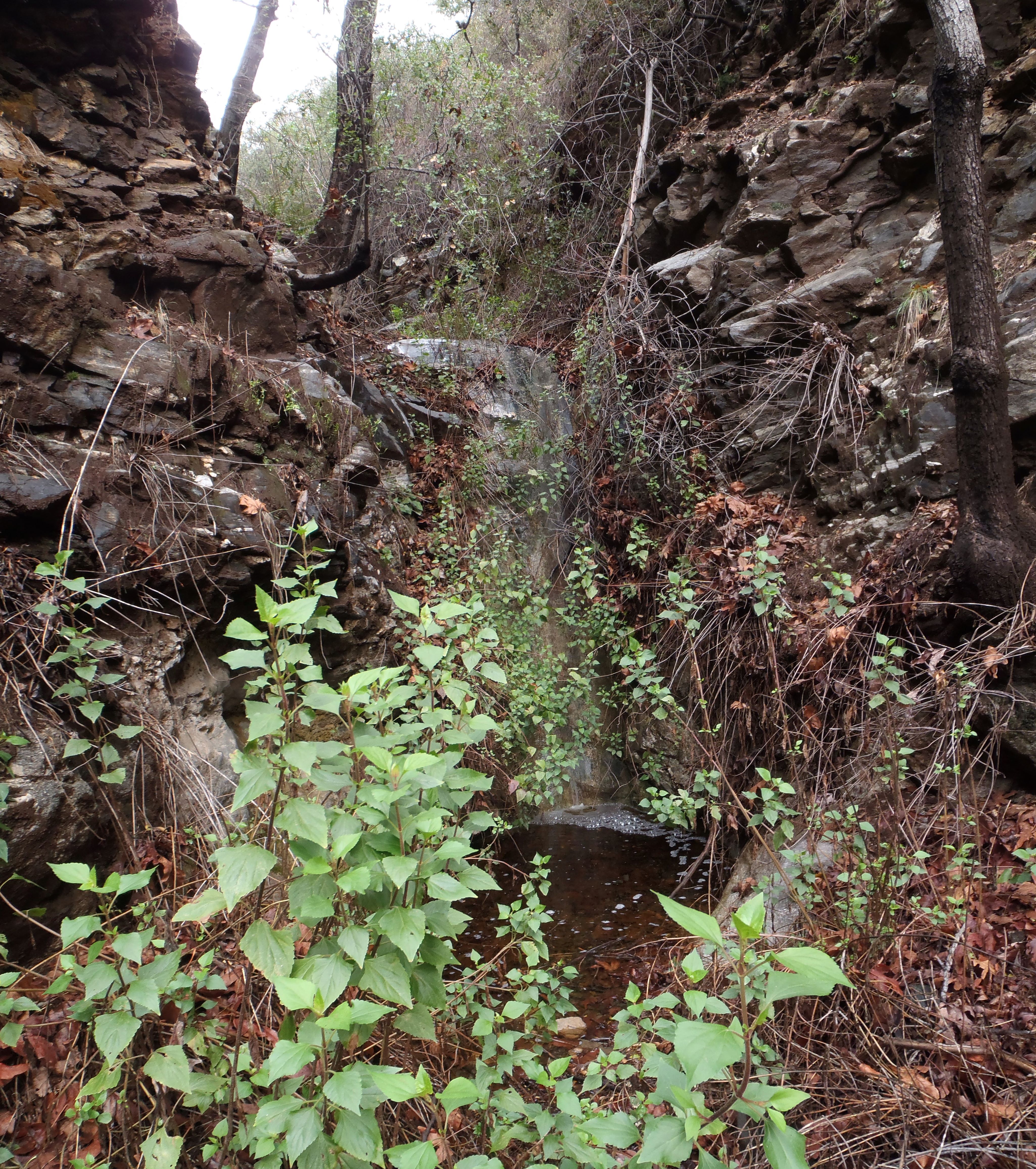
And I did reach a point where the canyon narrows so much that I would have needed to step into the stream to continue forward. This is where I turned around.

Image

If you go during a wet time, I definitely recommend waterproof shoes. I must have dunked my shoes ten times, yet my socks stayed mostly dry.

Image

Also, I don't think it's possible to avoid the poison oak in these canyons.
User avatar
tekewin
Posts: 1195
Joined: Thu Apr 11, 2013 5:07 pm

Post by tekewin »

Those are nice hidden waterfalls. The admission price is pretty expensive: poison oak and wet.
User avatar
AW~
Posts: 2043
Joined: Mon Oct 01, 2007 12:00 pm

Post by AW~ »

The use path is made by people with agricultural interests :D .
Browns Gulch has a lower falls,80ft, that is a bit farther up canyon.
User avatar
Sean
Cucamonga
Posts: 3789
Joined: Wed Jul 27, 2011 12:32 pm

Post by Sean »

AW wrote: The use path is made by people with agricultural interests
I noticed.

Image

They have other interests too.

Image
User avatar
Gene
Old Dam Man
Posts: 199
Joined: Mon Dec 26, 2011 7:54 pm

Post by Gene »

Brown's gulch is an interesting place. There are some ruins in Brown's gulch. They are downstream of the road crossing about half way to the spillway pond on the left side facing downstream.

Further downstream there may still be some chunks of a VW that crashed many years ago. Myself and a neighbor's son treated the driver until a Sheriff EMT arrived. We and the SMRT carried him upstream to a talus slope where they winched him up. He was in very bad shape, a split down his face, rocks and sand embedded into his skin and internal bleeding. He survived but we got a bad case of poison ivy. The rescue squad wouldn't listen when we pointed out a trail, they plowed into the ivy saying the victim is covered. :roll:

At the bottom of Browns gulch is a fault line. When there was spillway flow in 1969 it scoured out all the sand, rocks and trees and you could actually see the fault line and lots of red slickenside.
Post Reply