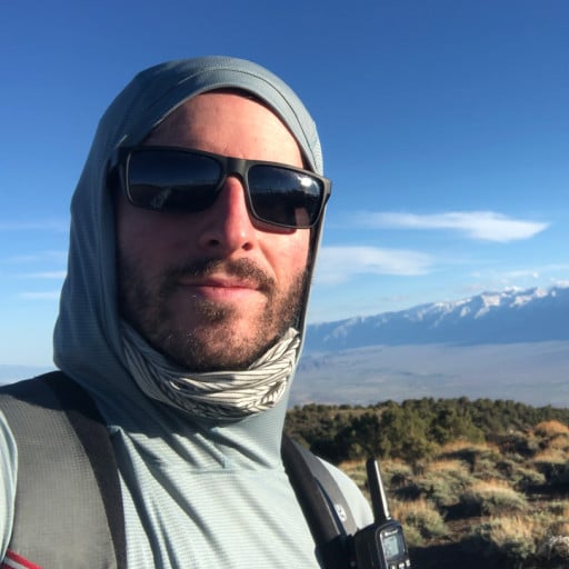
12/14/14 Hawkins Loop
-
mangus7175

- Posts: 148
- Joined: Wed Oct 12, 2011 3:03 pm
We were probably the ones who laid those tracks for you. We hiked up to Windy Gap (on 12/13) with the intent of spending the evening at LJ but decided to car camp at Crystal Lake once we saw how much snow there was at LJ.
Great photos...


First one at the springs...

Snow level at LJ...

Great photos...


First one at the springs...

Snow level at LJ...

-
Sean

- Cucamonga
- Posts: 4283
- Joined: Wed Jul 27, 2011 12:32 pm
The standard route is Windy Gap Trail to Pacific Crest Trail to Hawkins Ridge Trail to South Mt. Hawkins Fire Road. Windy Gap Trail is in good shape. PCT is good. Hawkins Ridge Trail is in decent shape with a couple faint spots, but it should be easy to follow because it gets used a lot. And the South Mt. Hawkins Fire Road is clear.bapolis wrote: Just wondering what the trail condition is. I was thinking of hitting the Modern Hiker route, which appears similar to route above.
When doing South Hawkins, I recommend taking the singletrack trail up and the fire road down. The trail is nice with only one rough spot near the top.
-
Anthony

- Posts: 333
- Joined: Mon Jun 05, 2017 11:53 am
Thanks! Looking forward to it.Sean wrote:The standard route is Windy Gap Trail to Pacific Crest Trail to Hawkins Ridge Trail to South Mt. Hawkins Fire Road. Windy Gap Trail is in good shape. PCT is good. Hawkins Ridge Trail is in decent shape with a couple faint spots, but it should be easy to follow because it gets used a lot. And the South Mt. Hawkins Fire Road is clear.bapolis wrote: Just wondering what the trail condition is. I was thinking of hitting the Modern Hiker route, which appears similar to route above.
When doing South Hawkins, I recommend taking the singletrack trail up and the fire road down. The trail is nice with only one rough spot near the top.
-
Anthony

- Posts: 333
- Joined: Mon Jun 05, 2017 11:53 am
I did the loop yesterday. I made the mistake of starting at noon and paid the price going up the Windy Gap Trail. I didn't realize the section was so hot and sunny. The conditions were better after Windy Gap, though.
There's a section on the Hawkins Ridge Trail (near the junction with Crystal Lake Road) that's overgrown and difficult to find. I recommend bringing a GPS map (I use AllTrails) or having excellent path finding skills. I assume the folks on this forum have at least one of those.
But yeah, yesterday was a reminder that it's summer now and that I should be starting earlier in the day to avoid the heat.
-
HikeUp

- Posts: 4062
- Joined: Thu Sep 27, 2007 9:21 pm
Didn't moderno hikeroo tell you that June can be hot? 
-
Sean

- Cucamonga
- Posts: 4283
- Joined: Wed Jul 27, 2011 12:32 pm
I'm glad you made the trip up there. Crystal Lake is one of my favorite areas to hike. It's a long, curvy drive, though.bapolis wrote: I did the loop yesterday ... I recommend bringing a GPS map (I use AllTrails) or having excellent path finding skills ... But yeah, yesterday was a reminder that it's summer now and that I should be starting earlier in the day to avoid the heat.
Starting early to avoid the heat of summer months is generally a wise idea. Though you also want to be aware of sun exposure on different trails at different times of the day. For example, the Old Mt. Wilson Trail out of Sierra Madre is exposed to morning sun, because it was built on east-facing slopes. Many people run up it in the summer evenings, when it's mostly shaded, due to the sun being in the west beneath the ridgetop. It's good to know when your trails will be hit hardest by the sun, and plan accordingly.
-
Anthony

- Posts: 333
- Joined: Mon Jun 05, 2017 11:53 am
Good point. That's definitely an overlooked factor. The sun was directly overhead when we ascended the Windy Gap Trail.Sean wrote: Starting early to avoid the heat of summer months is generally a wise idea. Though you also want to be aware of sun exposure on different trails at different times of the day. For example, the Old Mt. Wilson Trail out of Sierra Madre is exposed to morning sun, because it was built on east-facing slopes. Many people run up it in the summer evenings, when it's mostly shaded, due to the sun being in the west beneath the ridgetop. It's good to know when your trails will be hit hardest by the sun, and plan accordingly.
