
Here are some pics I took: http://www.flickr.com/photos/24141711@N ... 857534589/
Pine Mountian
-
brian90620

- Posts: 123
- Joined: Sun Jan 27, 2008 8:34 pm
Went up to Pine Mountian today via the north Devils Backbone trail. The trail is pretty steep in spots with a lot of lose rock all along the trail, which made travel somewhat slow, (at least for me and my girlfriend). The weather today was actually pretty nice, not too hot and a nice breeze, which made for a nice hike. The only dissapointment was the sky was really hazy, couldn't really see that far in any direction, we had planned to also go to Dawson Peak but we figured it wasnt worth it since the views were not that good today, I could hardly see Mount Wilson from the top of Pine Mountian because of the haze  Other than the not so good views it was another exciting day in the San Gabriel high country......
Here are some pics I took: http://www.flickr.com/photos/24141711@N ... 857534589/
Here are some pics I took: http://www.flickr.com/photos/24141711@N ... 857534589/
-
brian90620
- Posts: 123
- Joined: Sun Jan 27, 2008 8:34 pm
The road was open past Guffy, it is open to where the road ends. Also the road that goes to Lupine Campground looked open but I didn't go down there.

-
FIGHT ON
Never been over there in that area. Strange to see stuff from that view.
Nice pictures. That backbone looks more hunchbacked than the other one.
Nice pictures. That backbone looks more hunchbacked than the other one.
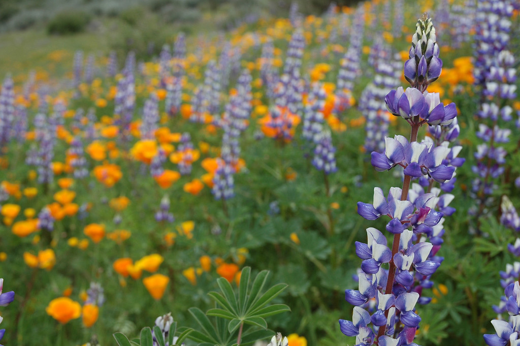
Lupine Campground? Never been there. Does it look anything like this?brian90620 wrote:Also the road that goes to Lupine Campground looked open but I didn't go down there.
-
brian90620
- Posts: 123
- Joined: Sun Jan 27, 2008 8:34 pm
Not sure how it looksFIGHT ON wrote:
Lupine Campground? Never been there. Does it look anything like this?
-
Dudley Heinsbergen

- Posts: 109
- Joined: Tue Jan 22, 2008 9:02 pm
this is my favorite hike in the san gabriels.
its really especially nice when an inversion layer (june gloom) sits at about 4000 ft. its like you above alll the clouds and youre just floating.
its really especially nice when an inversion layer (june gloom) sits at about 4000 ft. its like you above alll the clouds and youre just floating.
-
EManBevHills

- Posts: 387
- Joined: Fri Sep 28, 2007 12:40 am
Thanks Brian for the live beta. Naturally, the ranger station said it was closed! 
Does this comment belong on the adventure pass thread?
Does this comment belong on the adventure pass thread?
-
FIGHT ON
nope! I solved all the problems with my bumper sticker idea!EManBevHills wrote:Does this comment belong on the adventure pass thread?