

A. Little Jimmy GPS Track. Note that the position of the service road on the topo map is way off. Personally, I like using the service road better than starting at Islip, but there's not a whole lot of difference. The start at Islip Saddle is pretty exposed if you're going on a hot day.
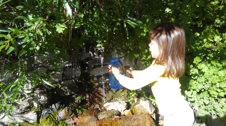
B. Water report/conditions at the spring.
Water is flowing well at the main spring. The secondary spring was all but dry.
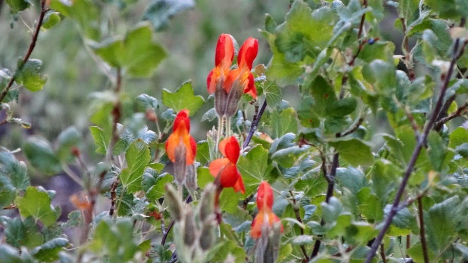
There's some nice scarlet monkeyflower in bloom at the spring.
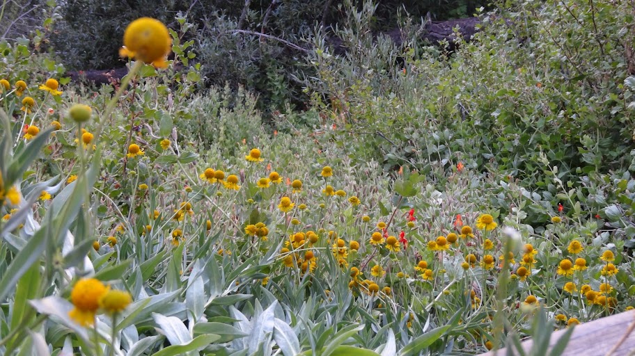
And sneezeweed.
C. Trail conditions.
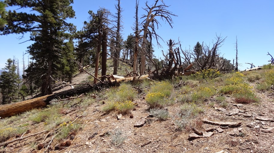
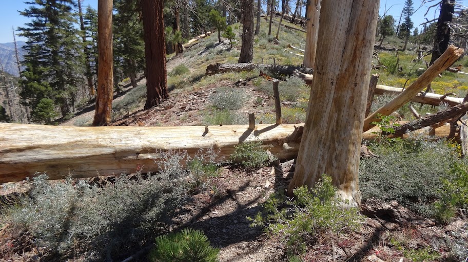
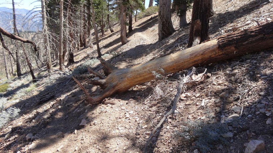
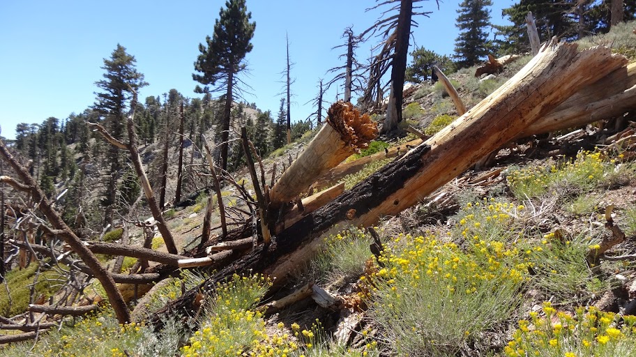
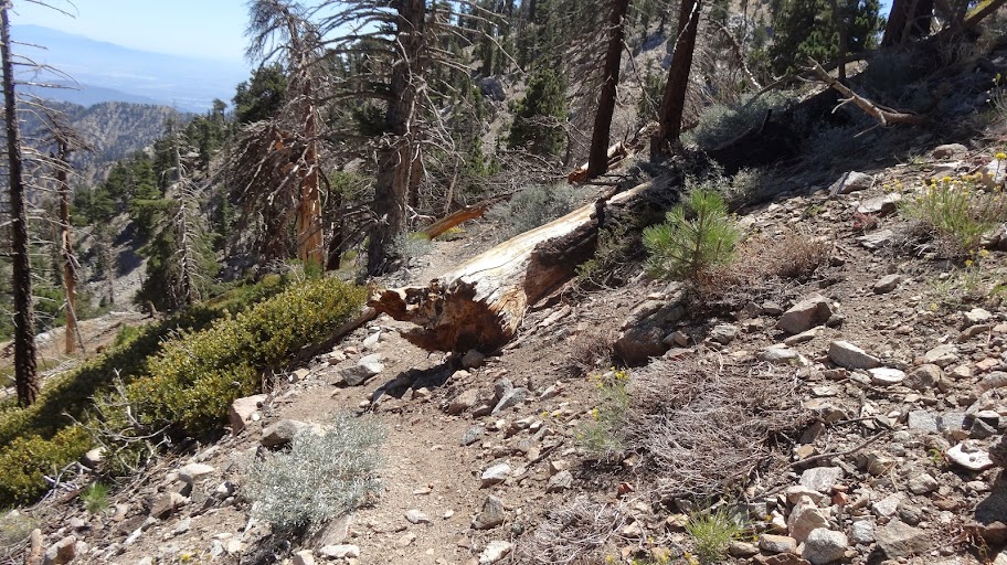
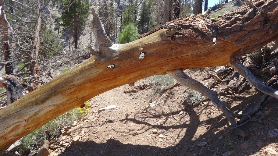
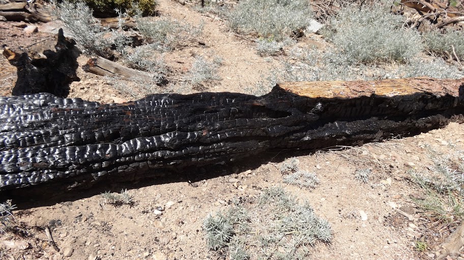
I took my daughter on a side trip from Little Jimmy to Middle Hawkins (8505'). The Hawkins Ridge Trail needs some TLC. There are a lot of downed trees. There were nine trees down on the trail just from the PCT junction to Middle Hawkins, which is only maybe half a mile or so. Photos of downed trees follow. The numbers correspond to the numbers on the GPS Track linked to above.
1. Just south of the PCT junction.
2. Just south of #1. Numbers 1 through 4 are all practically right on top of each other. You can see #3 and #4 behind two in the photo below.
3. Just past #2. #3 is on the right. #4 is the one on the left.
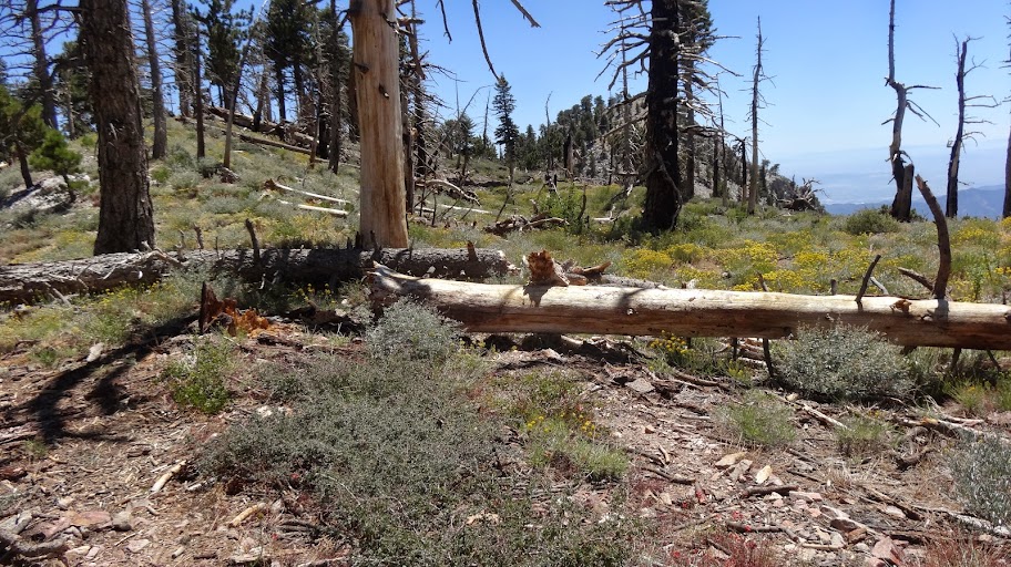
4. Just past and to the left of #4.
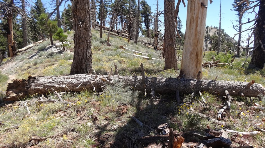
5. South of and fairly close to #4. See GPS track. Easily bypassed on the downhill side.
6. Jumble of trees. Pain in the butt. Bypassable on the downhill side.
7. Only a partial blockage of the trail.
8. You have to crawl under which is a pain for a 6 footer such as myself. My 4 year old daughter had no problem.
9. Directly across the trail, but small enough the you can just step over.
NOTE: The first nine are all on the Hawkins Ridge Trail between the PCT junction and the saddle north of Middle Hawkins.
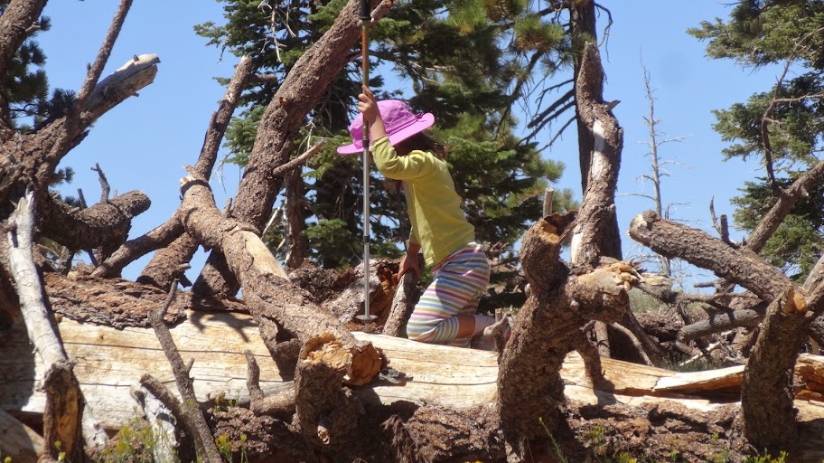
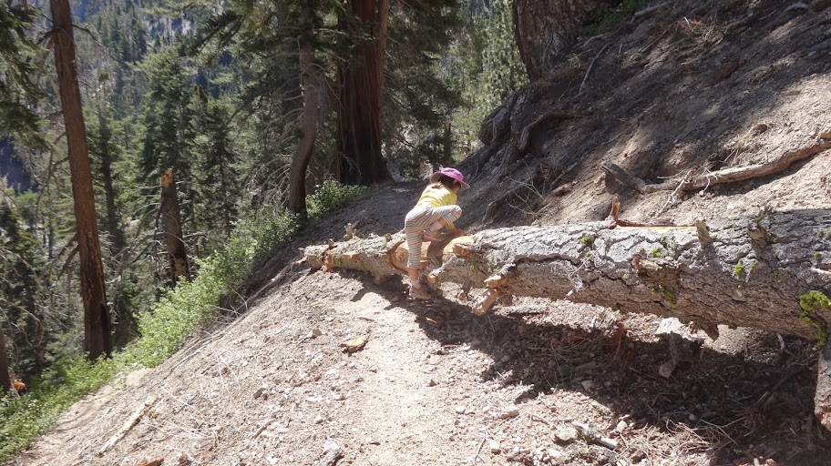
10. On the PCT. Right near the western trail junction leading to Little Jimmy Spring. Four year old shown for size reference.
11. Didn't photograph. Just a step over. See GPS track for position.
That's all I have time for. Great area and a nice spot to camp with reliable water. Lots of side trips available (Mt. Islip, Islip Ridge Trail loop to Windy Gap, Hawkins, Throop, Middle Hawkins, Copter Ridge, Burnham, Baden-Powell, etc.).
HJ
