

I parked the Jeep at Dillon Divide and was on foot by 0636. After following Mendenhall Ridge Road for a short distance, I followed the trail that descends to the floor of Pacoima Canyon, just East of Dillon Ranch. The path in Pacoima Canyon is mostly flat rocky streambed. It's clear and well marked with cairns through Dagger Flat. East of the Flat things get a little dicey in spots. There were several areas where there was enough water that pumping and filtering could be undertaken in a pinch. You would be competing with many, many bees for access to these pools however. A few spots were choked with enough vegetation that a machete would have been useful. Some of these could be bypassed safely on adjacent benches, occasionally via a discernible use trail. Others required scary and dangerous high-scree traverses; probably not the smartest maneuver on a long solo day.
Routefinding was fairly straightforward, just follow the main streambed, or watch the undulation of the canyon walls. I did manage to erroneously start up Pacoima's South Fork into a horrible bushwack until I remembered what that stupid orange box on my pack named 'Garmin' was supposed to be used for. After 14½ miles and 9 hours, I was happy to have reached the beginning of the Buck Canyon Trail that would take me up to Indian Ben Saddle. At this point I had exhausted my three liter hydration pack. I was carrying my single remaining liter in a Nalgene. I reluctantly decided to forgo water until I was on Mendenhall, where the terrain and its demands were well known. I was also motivated by the knowledge that I had a full liter and a half Arrowhead bottle in the car. My glee was tempered by the amazing carpet of Ceanothus, Nettle, Eriodictyon, Poison Oak, Yucca, and the cursed Brome that pierced my socks, liners and boots. There were several spots where getting bitten by the poodle was unavoidable.
I reached Indian Ben Saddle Saddle by 1800, having covered around 18 miles. All that was left to do was enjoy the sunset and its views of Pacoima and Trail Canyons as I rationed my water over the remaining 12.7 miles and four and a half hours.
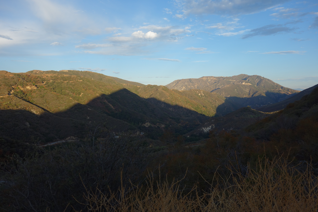
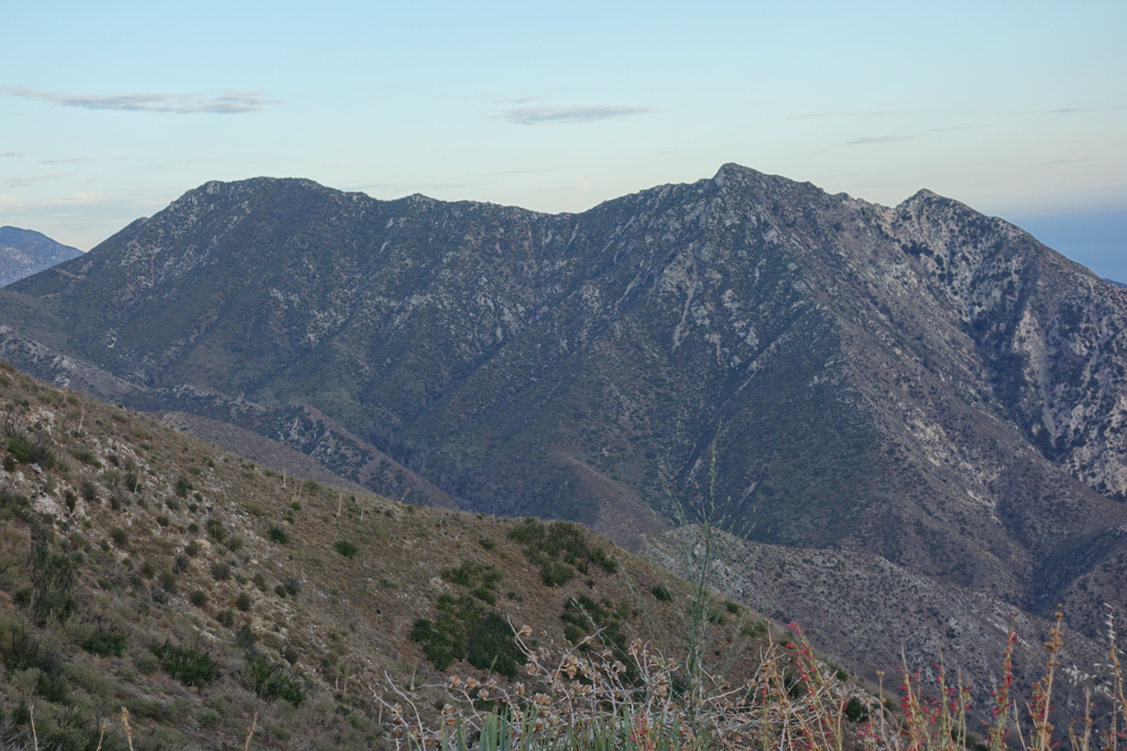
Mendenhall Ridge casts its morning shadow into Pacoima Canyon.
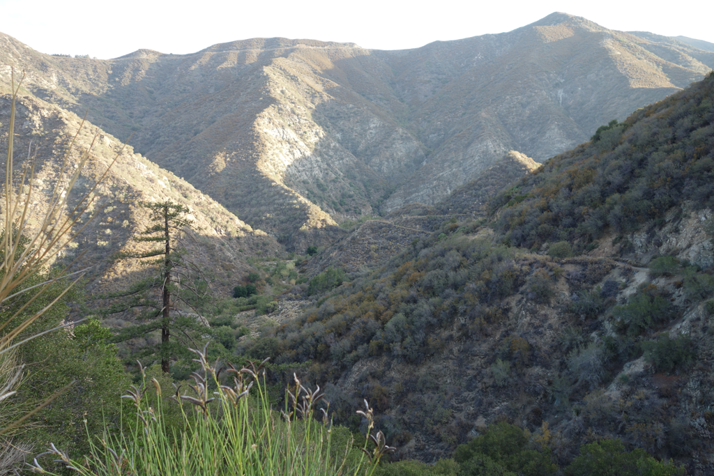
Trail descends from 3N32.1 into Pacoima Canyon. Santa Clara Divide Road across the way.
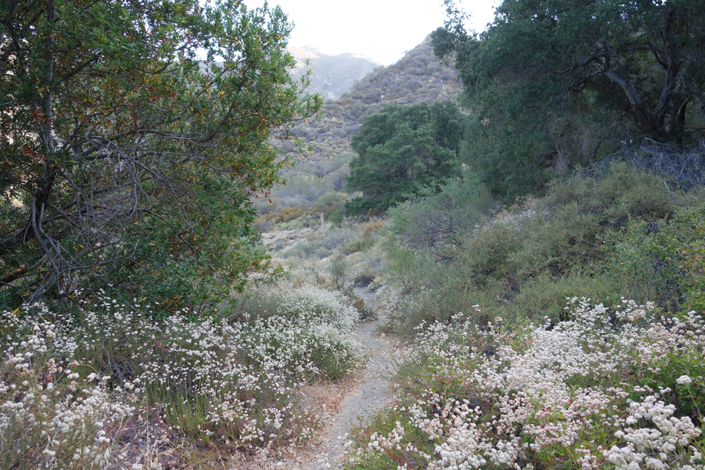
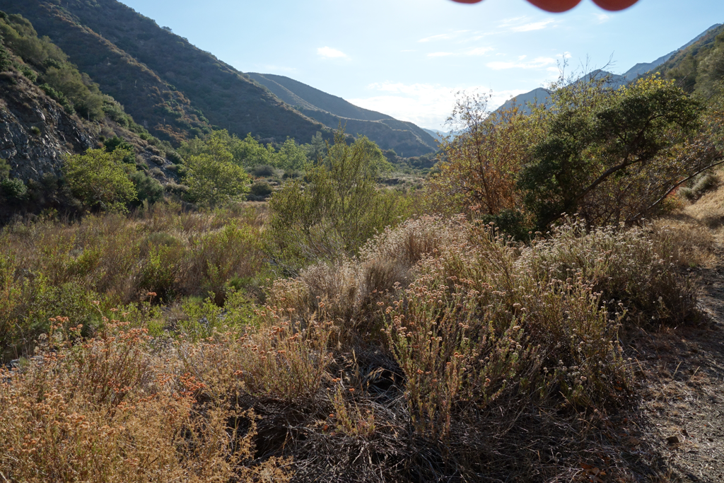
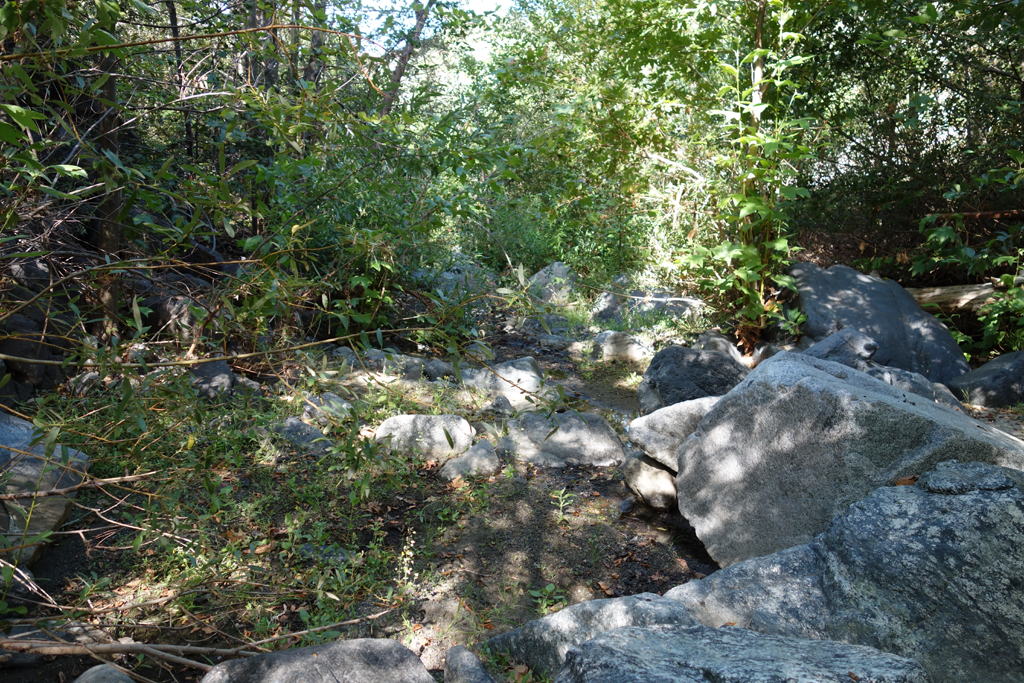
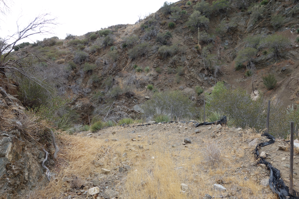
Pleasant beginning of Pacoima Canyon Trail.
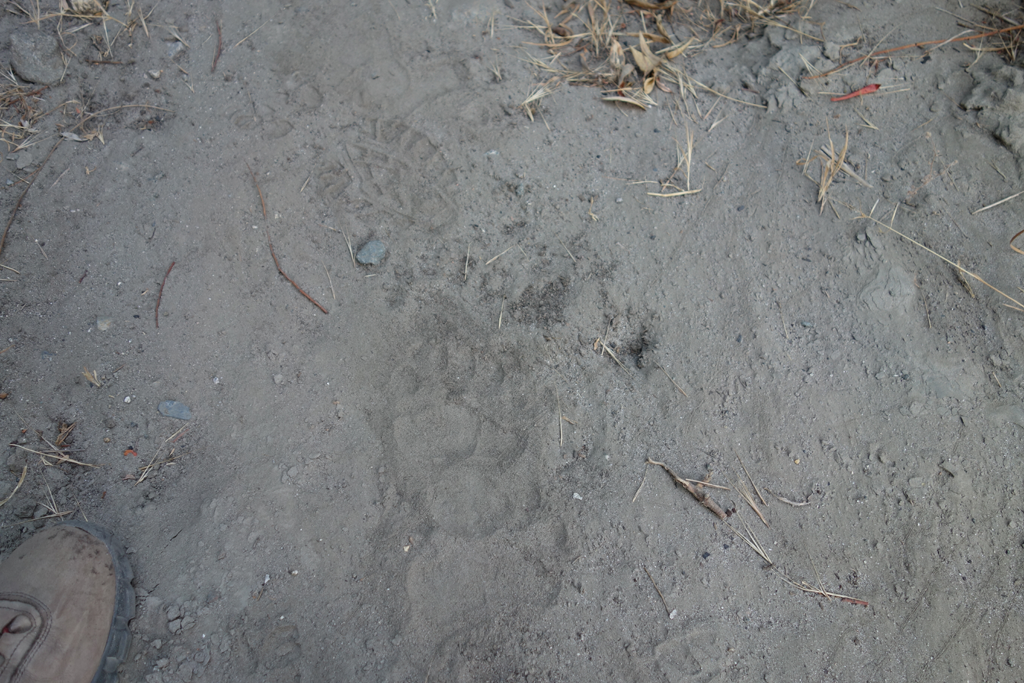
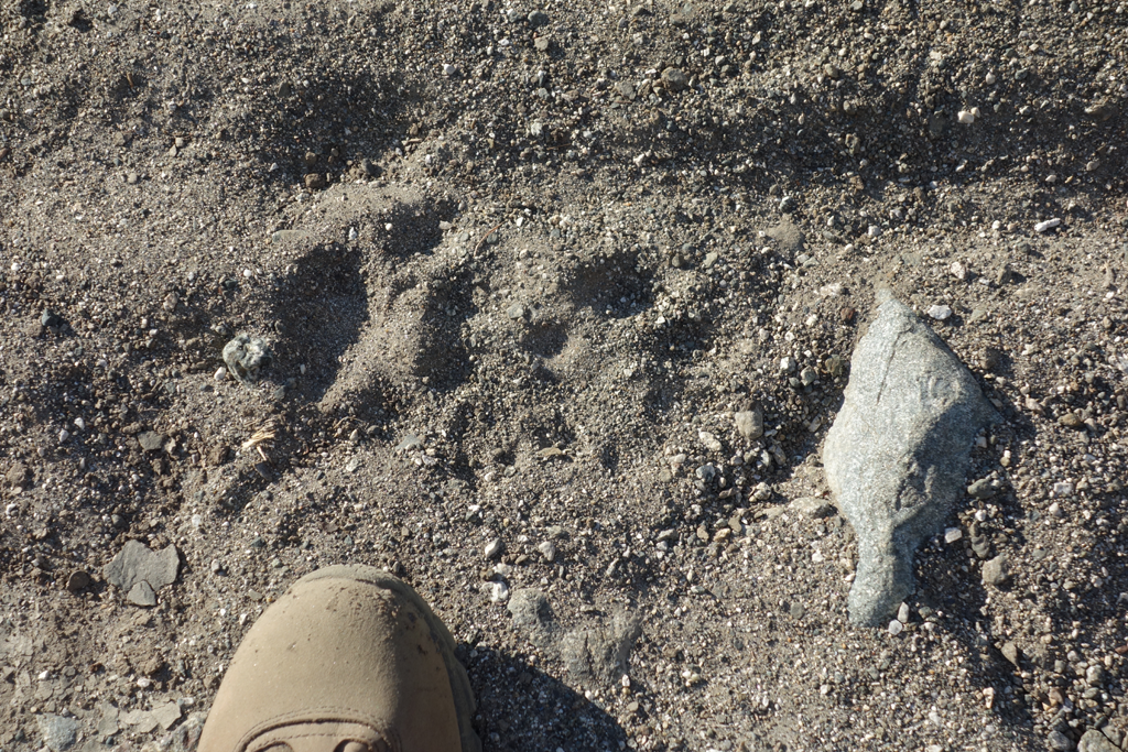
One of many Ursus Americanus tracks encountered.
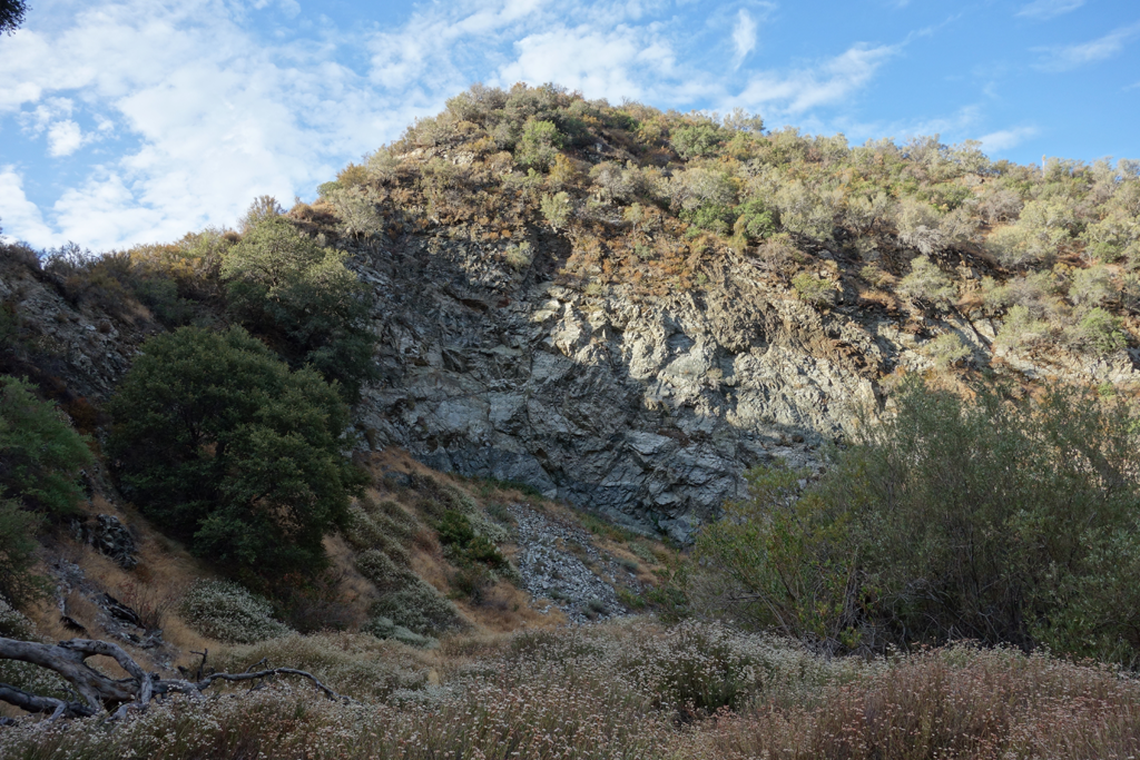
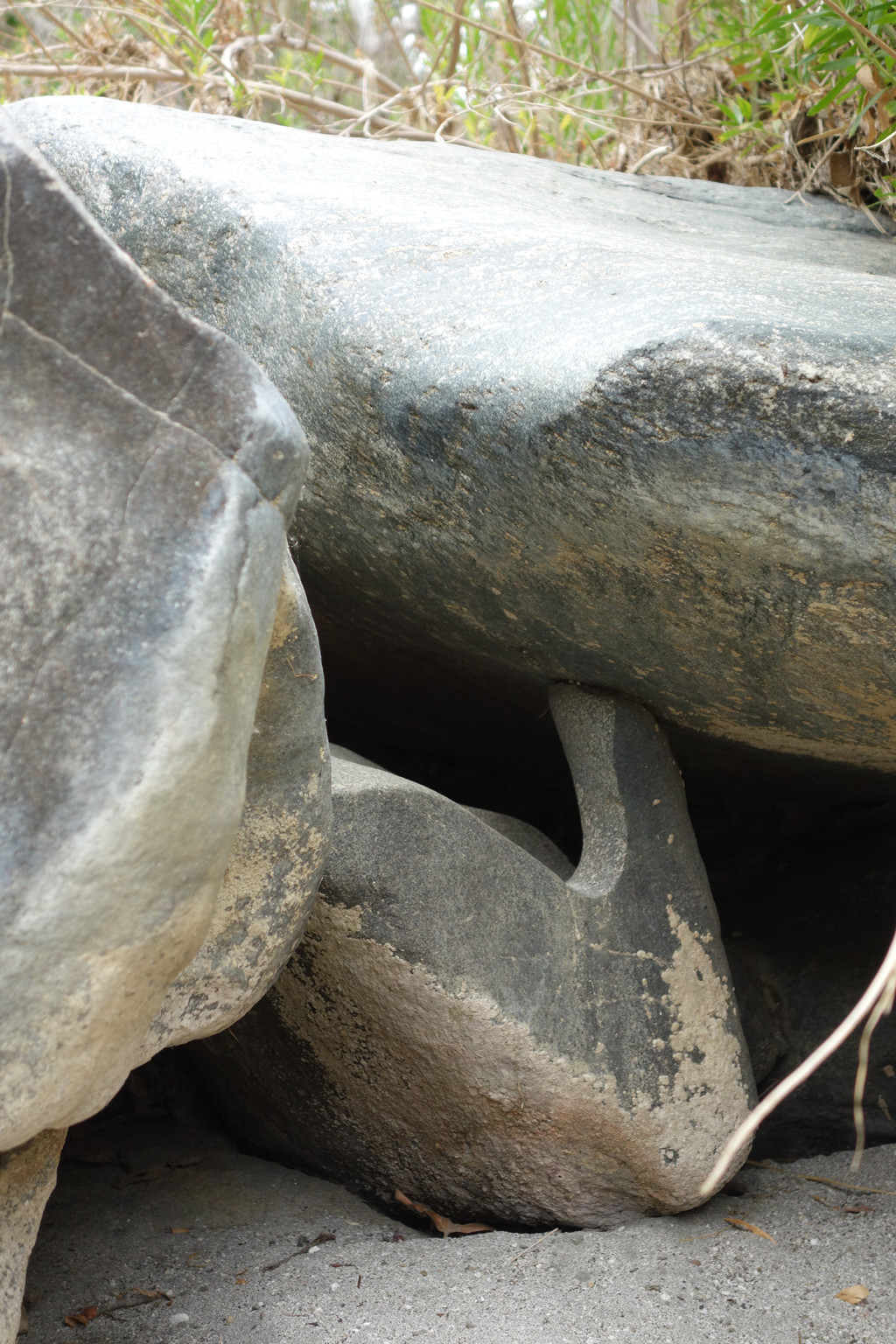
Admiring the geology along the canyon walls.
Here kitty kitty kitty...
Looking East along Dagger Flat, using impromptu five-fingered sun shade.
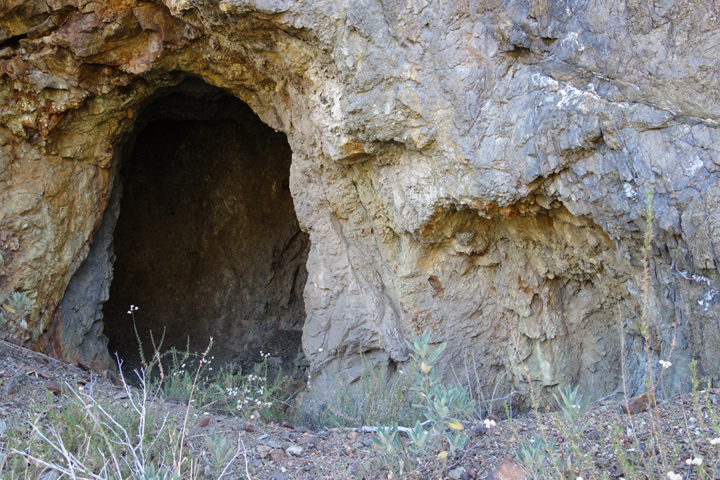
Fenced-off, abandoned mine near Dorothy Canyon.
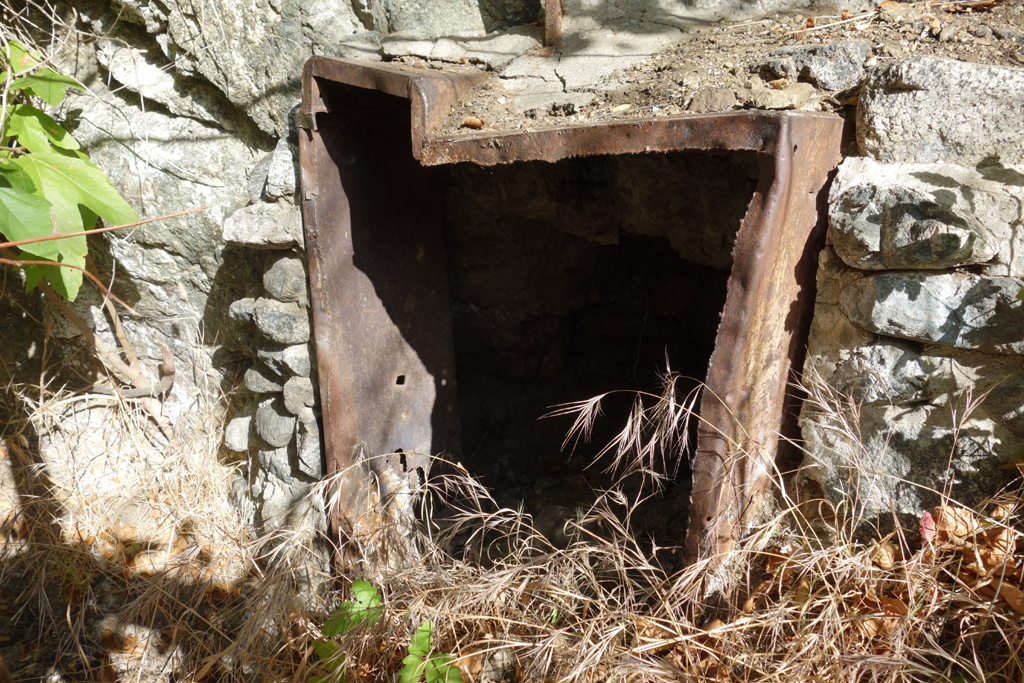
Another interesting mining artifact near Laurel Canyon.
Discontinuous section of Dorothy Canyon Trail. Found remnants of a 'plantation' up here tapping the well a few years ago.
One of several spots still holding water along Pacoima's streambed. Loads of bees enjoying the moisture.
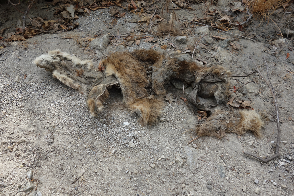
Dessicated remains of a fox or coyote.
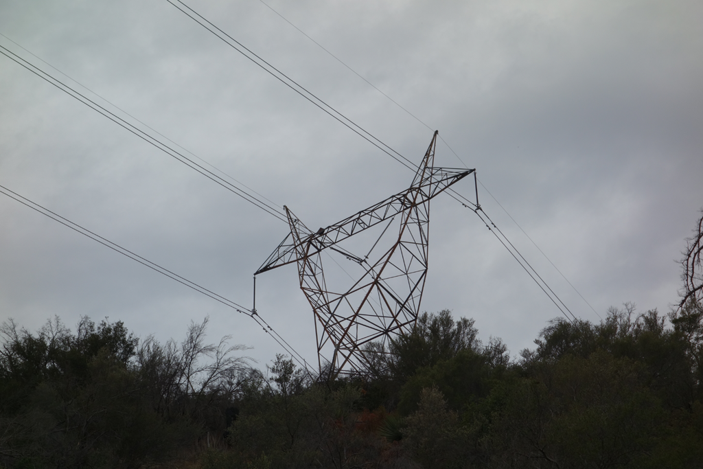
500 KV transmission line from Adelanto to Toluca follows the canyon. It was sizzling like crazy.
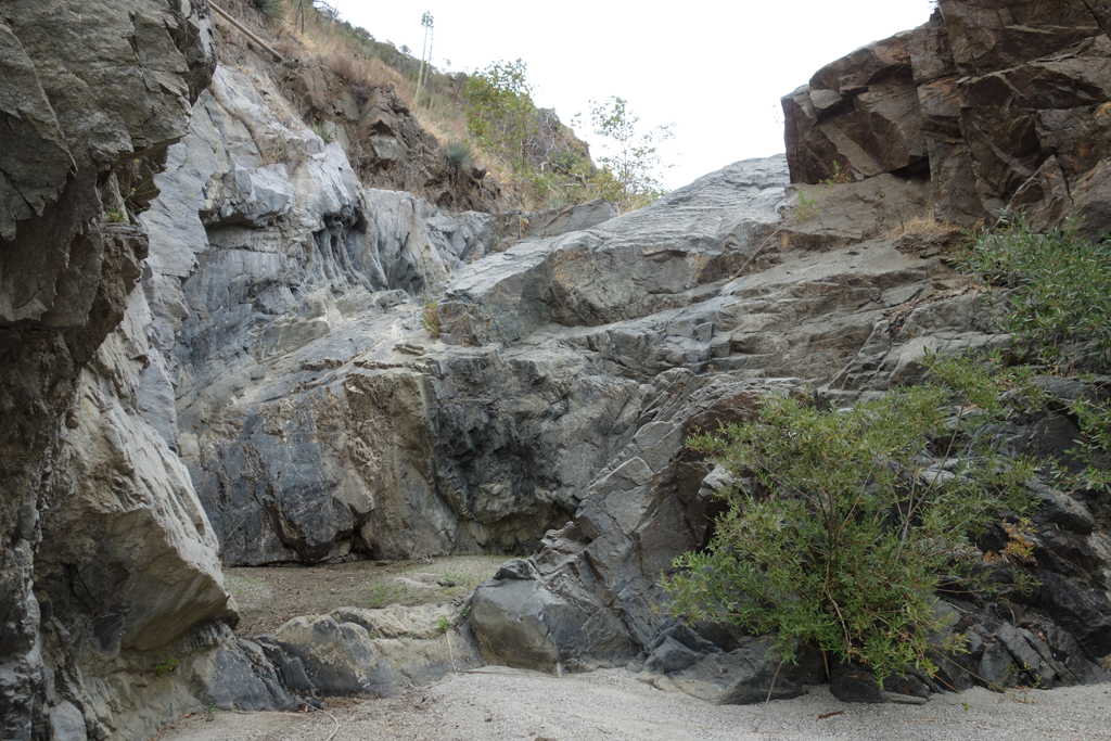
Dramatic example of the water flow that carves our canyons.
Remaining segment of 4N35, near the Yerba Buena Trail junction.
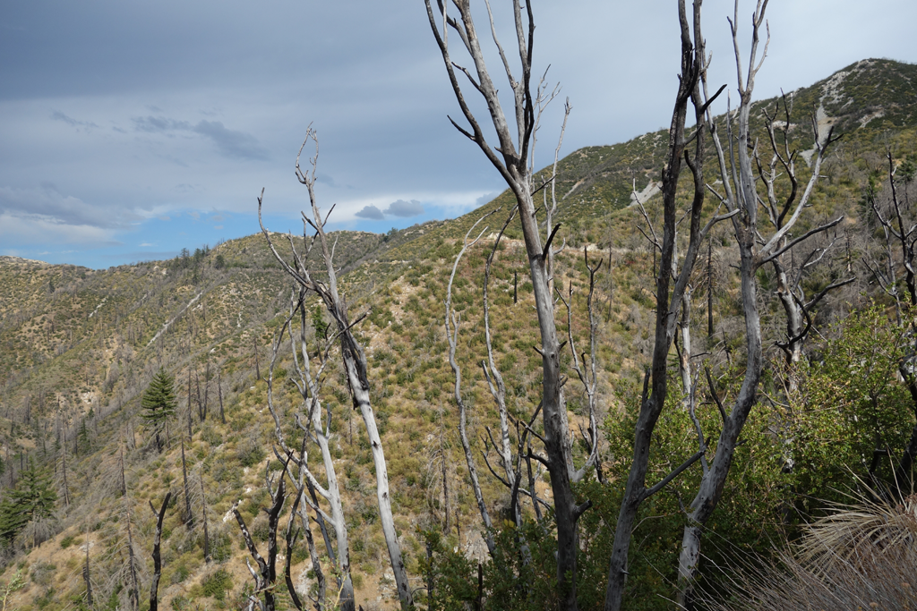
Easy up-climb along the main canyon route, just past the South Fork split.
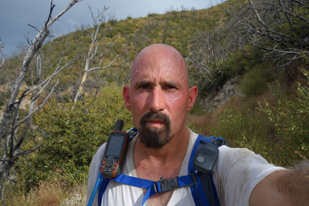
GPOY: slightly overheated Elwood.
Exit trail up Buck Canyon, towards Indian Ben Saddle.
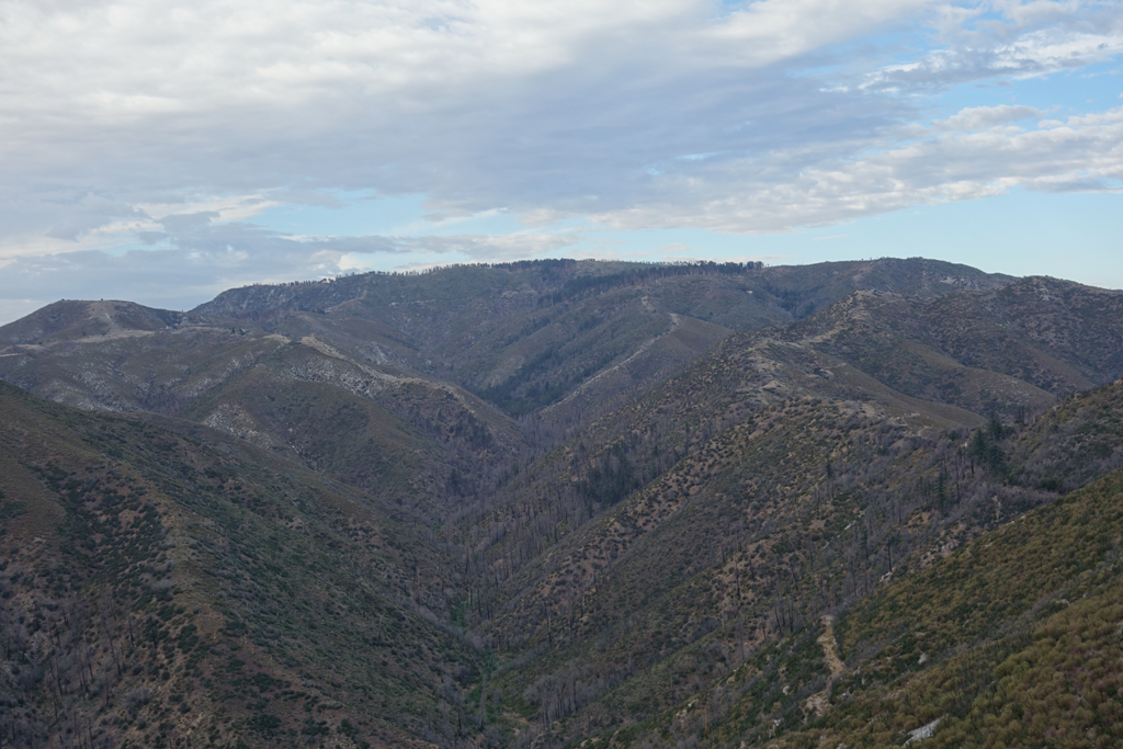
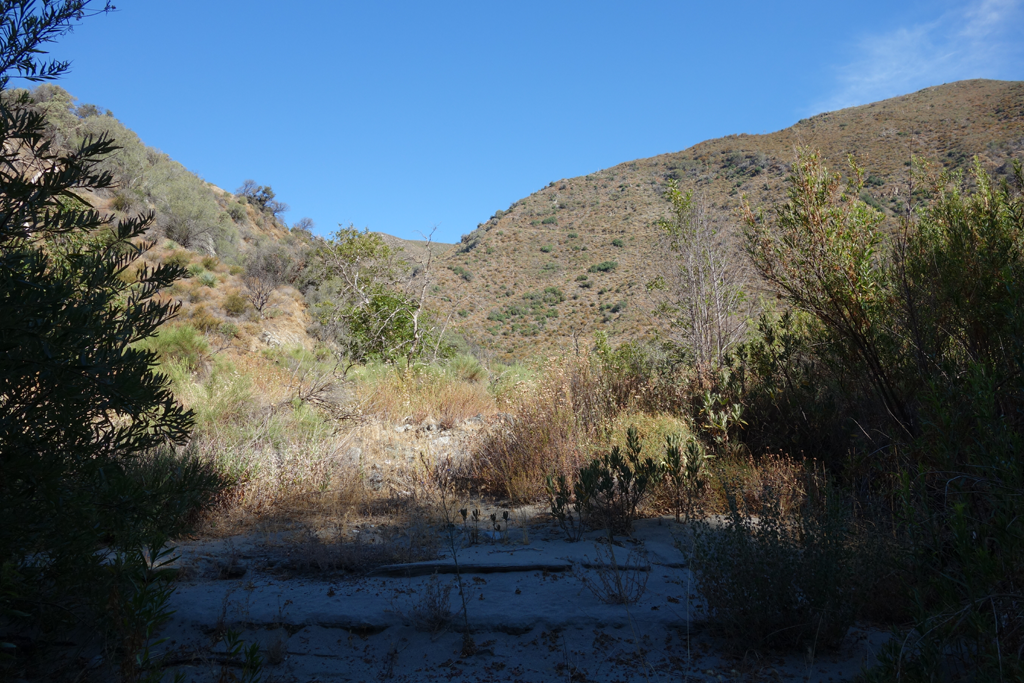
View towards Mount Gleason, through Upper Pacoima Canyon. Forested Lightning Group Camp clearly visible.
Looking West along Mendenhall Ridge Road.
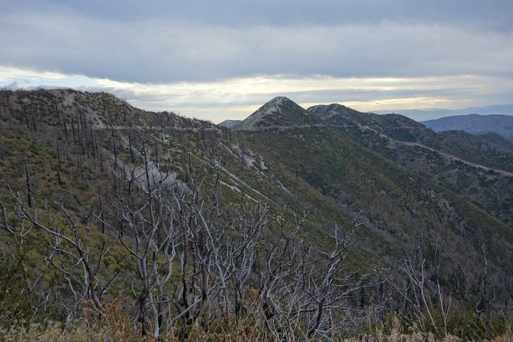
Lovely Condor Peak visible across Trail Canyon from Mendenhall Ridge.
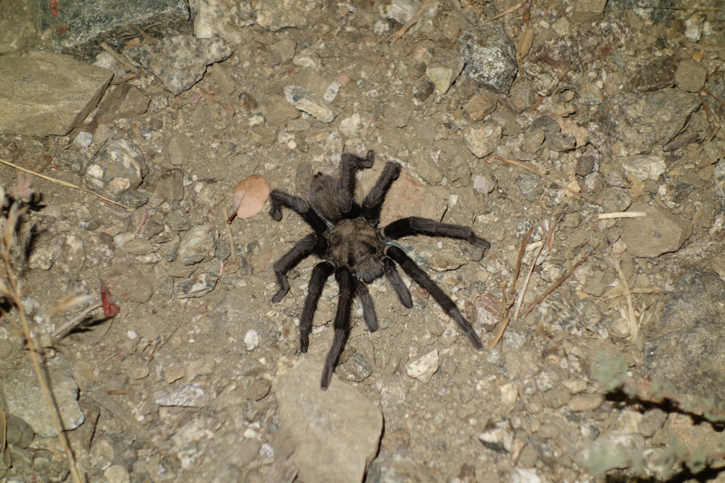
Gorgeous Black Tarantula (Aphonopelma Eutylenum?) strolling across darkened Mendenhall Ridge Road.
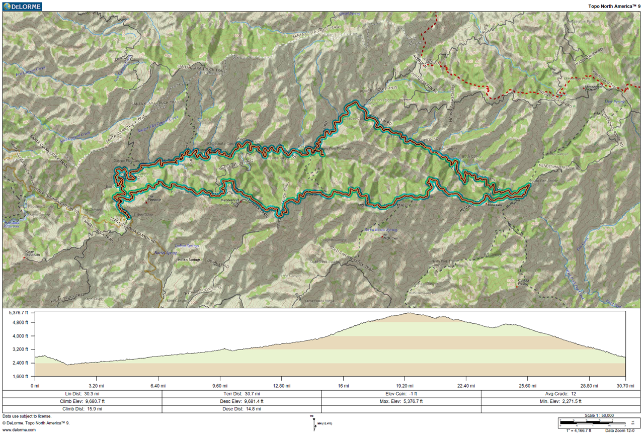
GPS track and elevation plot.


