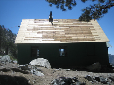
I also got a few pix of the progress on the Ski Hut roof. While at the Hut, I learned that a hiker had suffered an apparent heart attack and a fall, resulting in a head injury. Help was on the way by the time I arrived at the Hut and there were several people tending to the injured party. On the way down, a helicopter arrived, eventually carrying the victim away. There were several emergency trucks by the falls when I arrived there. I certainly hope that the guy is ok.
Regarding the hike: It was a hot day, with temperatures in the 70s early on and about 90 by the time I got back to the car. Down in the valleys, it was over 100. It was nice on top, though -- 70 and breezy. I was pleased to make it from the Village to the summit in a hair under 3 hours. I have not been hiking enough lately and that felt good!
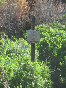
Someone said on another thread that the Bear Flats sign burned. No.
Ski Hut roof progress
Pix