I left Simi just before 0500 and arrived at the Highlands of Scotland (CA) around 0620. 2N58 was as horrible as ever, though no match for the Rubicon. I was slightly surprised to see the gate to San Sevaine road still open this time of year. I suppose the dearth of snow has something to do with this.
I donned my 25 pound day pack, including 4 liters, GPS, SPOT, ham radio, snacks and other miscellaneous non-essentials at 0640 and hit the trail. At that point I hadn't yet picked a destination, though I knew it would be via Icehouse Saddle. 6W01 is in fine shape, though could use a little pruning here and there. I possessed the tools, but neither the time nor patience to do so yesterday. I encountered my first humans in the form of a dad and his boys camped out at Third Stream Crossing T.C. From here through Commanche the trail continued to be in good repair. South of Commanche, there are a few spots that could benefit from a little TLC. Regardless, this was an amazingly pleasant hike for mid-February; mostly in shorts and t-shirt.
I stopped briefly at Commanche to feast on a Clif Bar and some beef jerky. I did not observe any sign of water at this trail camp. A little further up canyon I noted some very slowly flowing and discolored pools. At 1020 I made another brief stop at Icehouse Saddle for another energy bar and some dried apricots. The sun hadn't yet warmed the trail between Icehouse and the Big Horn / Cucamonga saddle. Consequently there were a few small icy spots that were mostly easily avoided. It didn't seem to be worthwhile to have lugged up crampons for this. I might have thought otherwise had I slipped. There were a few more short stretches of light snow and ice on the way to Cucamonga's summit, all easily avoided.
Noon found me on the summit, where I dined on delicious Whole Foods pretzel snack mix, Red Vines red and black licorice mix and the rest of my Jerky. At 1236 I saddled up and hiked straight through to Middle Fork Trailhead, arriving at the car around 1544. On the way down I passed a young woman blasting up the trail with a large pack and a group of scouts(?). The adult leaders were curious about the distance to Commanche and conditions there. The water report didn't seem to make them very happy. There was a large group camped out at Third Stream, having fun by the vigorously flowing fork. I didn't see any notable animal activity or tracks all day.
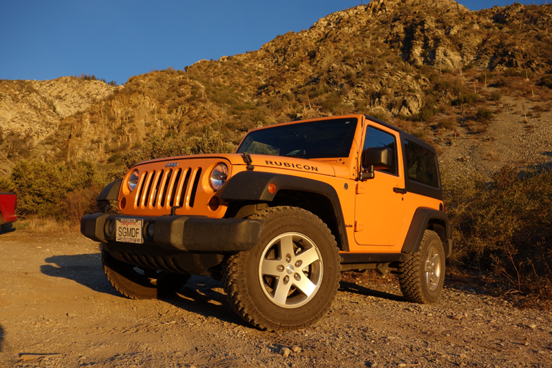
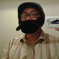
My trusty steed "Ruby".
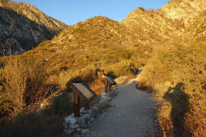
Interpretive signs and hiker shadow at Middle Fork Trailhead.
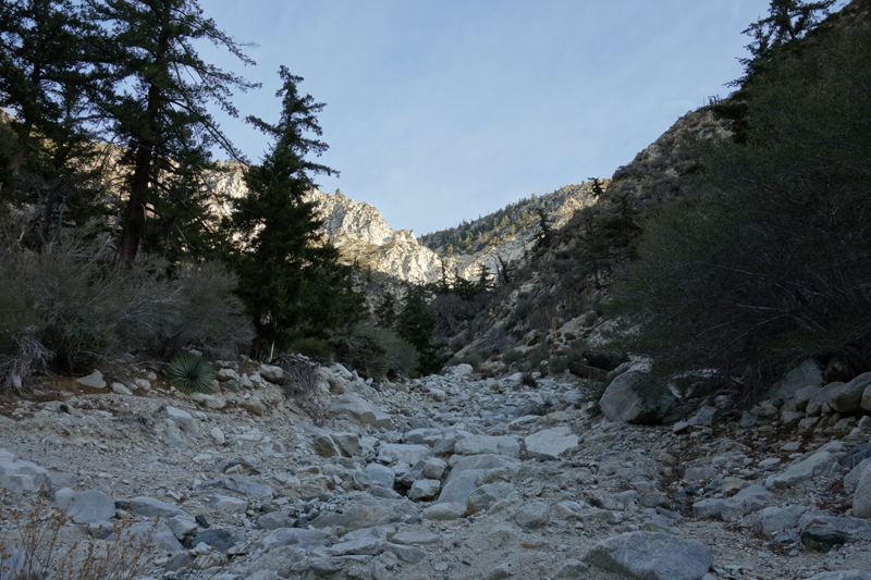
Crossing one of Telegraph's drainages into the middle fork of Lytle Creek.
6W01.2, east of Third Stream Crossing trail camp.
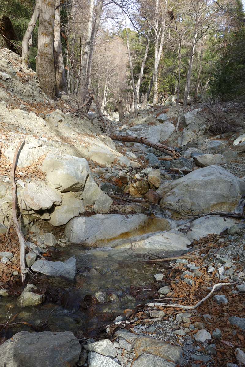
Decent water flow at third stream crossing.
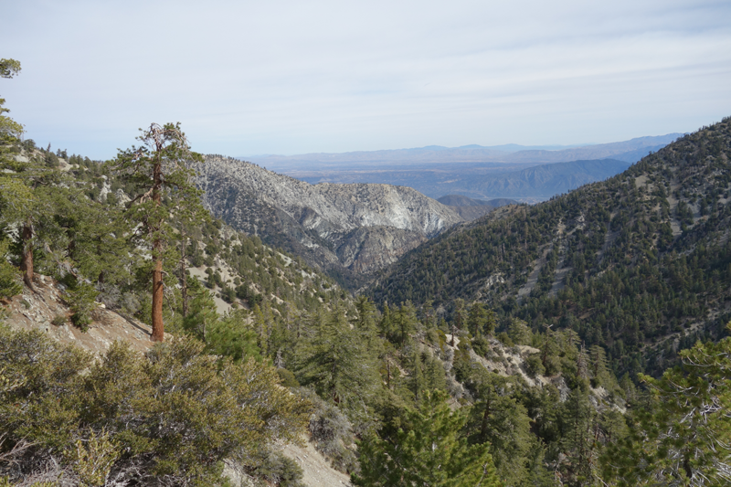
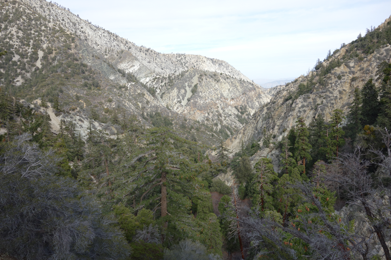
View southwards, in the general direction of Icehouse Saddle.
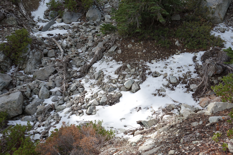
Strange cold, white crystaline powder. I've seen this before in the Gabes, just can't remember when.
Kinda' reminds me of a twerky Ke$ha and Pit Bull video.
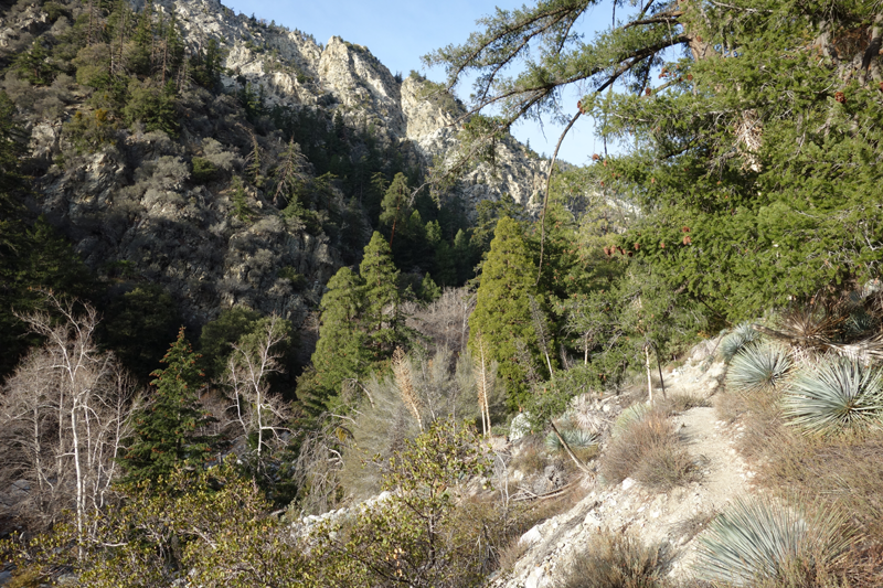
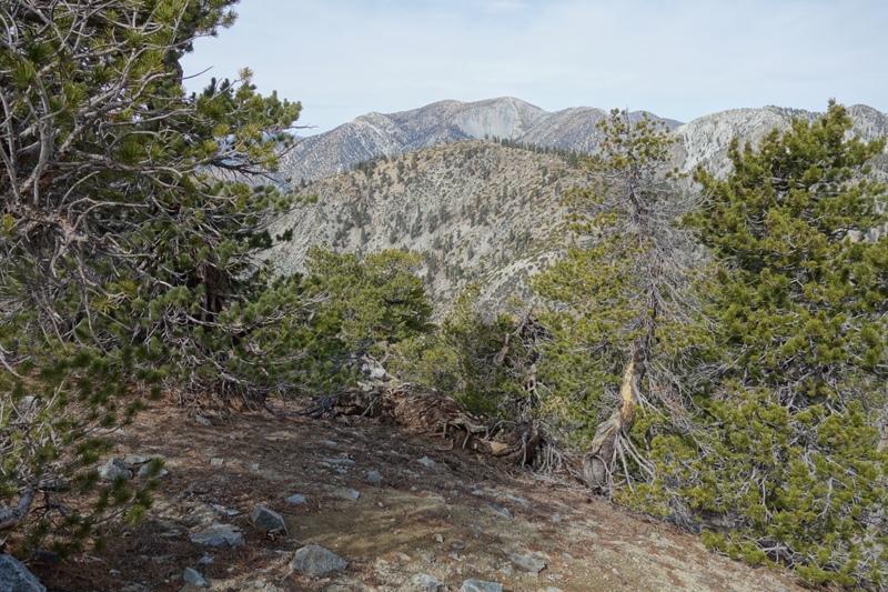
North-east view from 6W01, below the saddle.
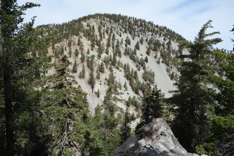
Big Horn Peak's southeast ridge. Rises from the saddle with Cucamonga Peak.
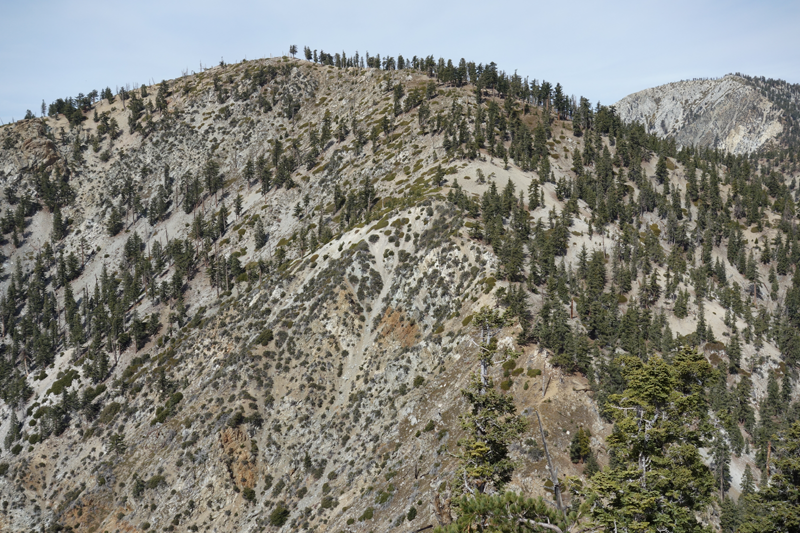
Cucamonga Peak (foreground), Big Horn, San Antonio, and neighbors.
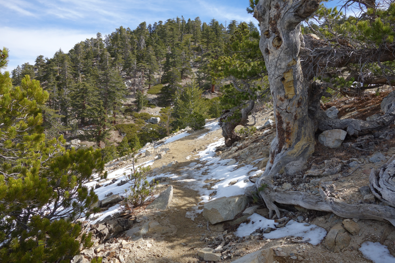
Treacherous snow crossing on Cucamonga Peak trail. I had to walk on the dirt to avoid falling to my death. I also got snow on my boot.
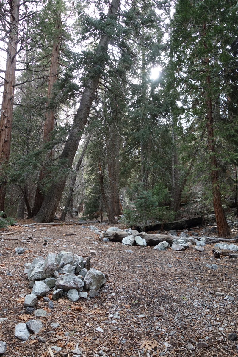
Placid (though dry) Commanche Trail Camp.
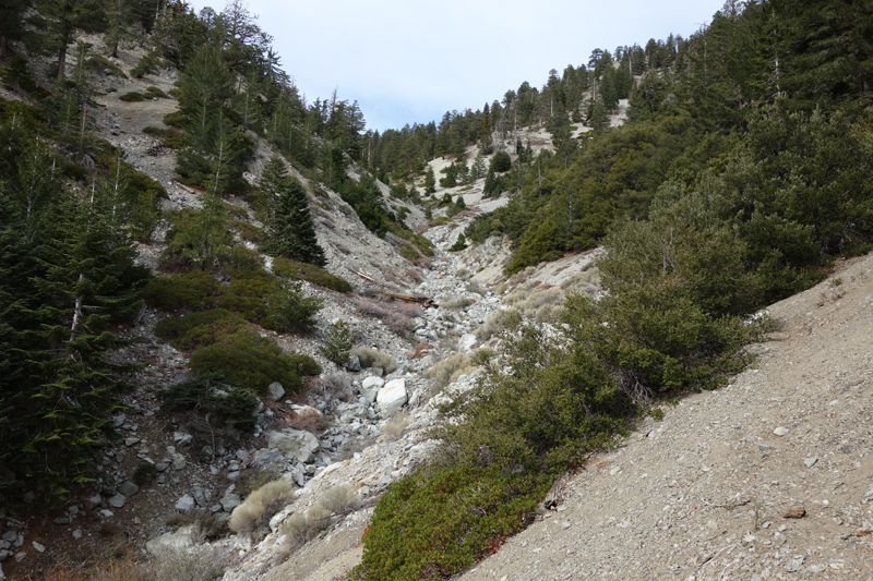
Another view from 6W01.2.
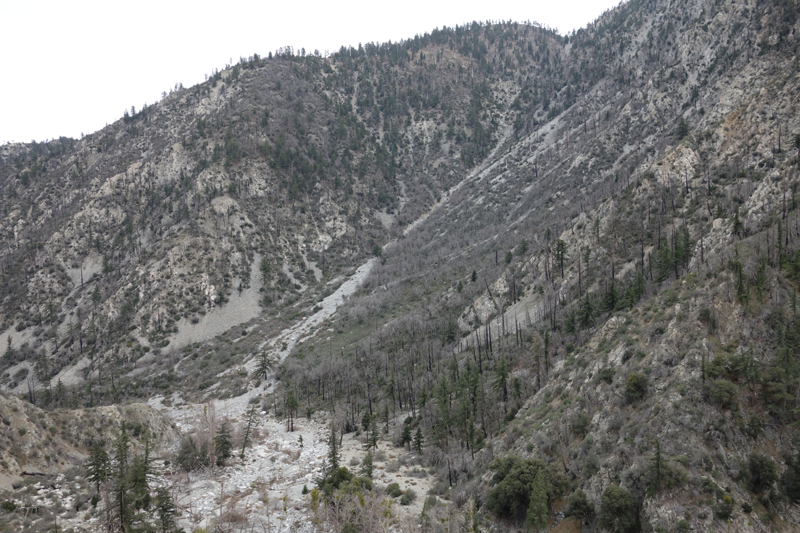
Drainage from between 7394 and 6810, east of Etiwanda.
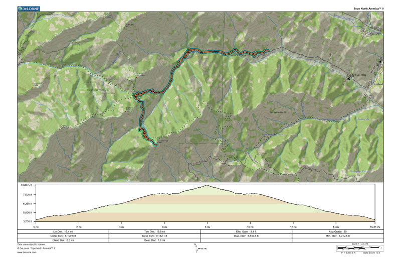
GPS track and elevation plot