
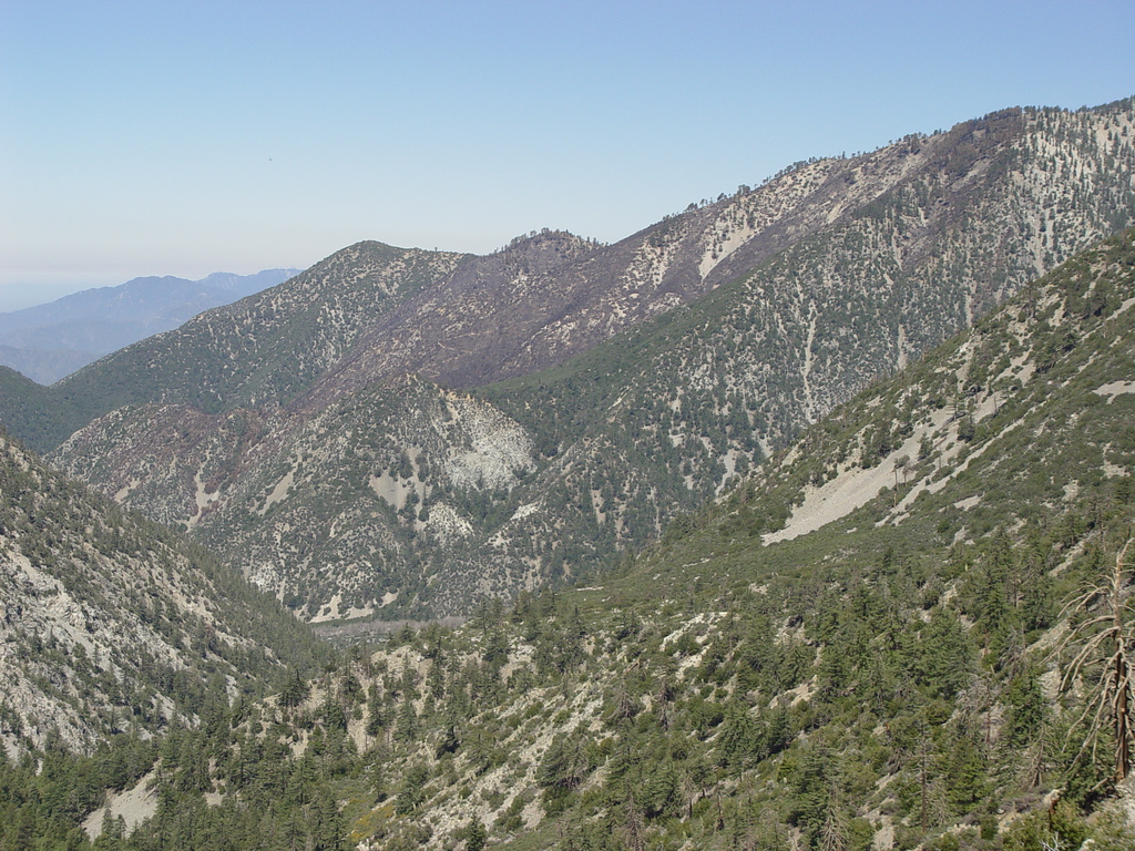
Bear Flat burn area
-
RichardK

- Posts: 727
- Joined: Sun Sep 30, 2007 12:33 pm
We hiked Icehouse Canyon via the Chapman Trail Saturday. You can see part of the burn area from the Bear Flat fire.
-
Taco

- Snownado survivor
- Posts: 6191
- Joined: Thu Sep 27, 2007 4:35 pm
Thanks for the photo. I guess it'll all clean up after some rain and snow.
-
HikeUp

- Posts: 4070
- Joined: Thu Sep 27, 2007 9:21 pm
A couple more pictures of burn area taken Sunday 2008-06-15.
From ridge east of Ontario Peak...

From Ontario Peak...

From ridge east of Ontario Peak...
From Ontario Peak...

-
KathyW
- Posts: 212
- Joined: Thu Sep 27, 2007 9:00 pm
Yes, nice pics - I might avoid the Bear Canyon Trail until next year - breathing in those ashes can't be healthy.