

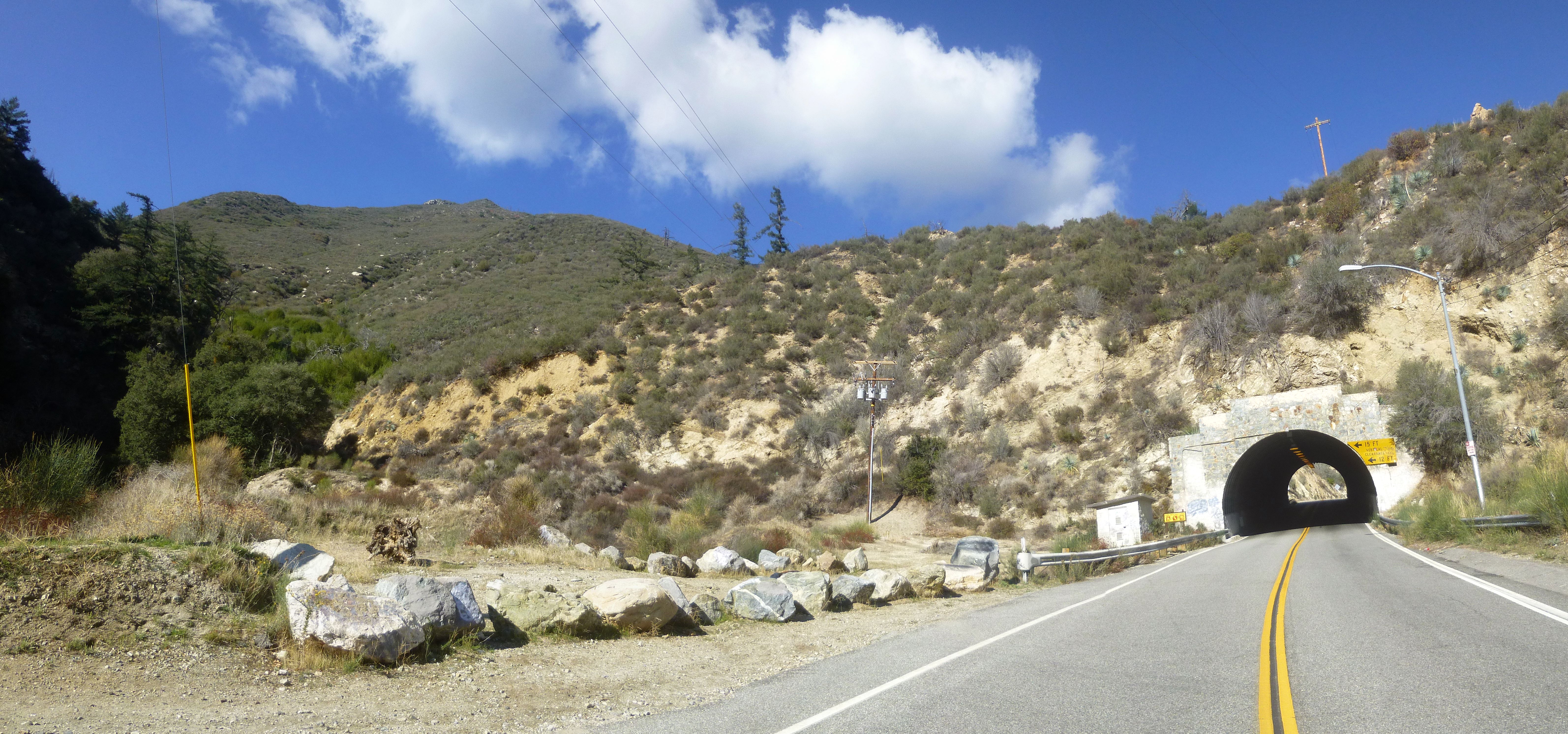
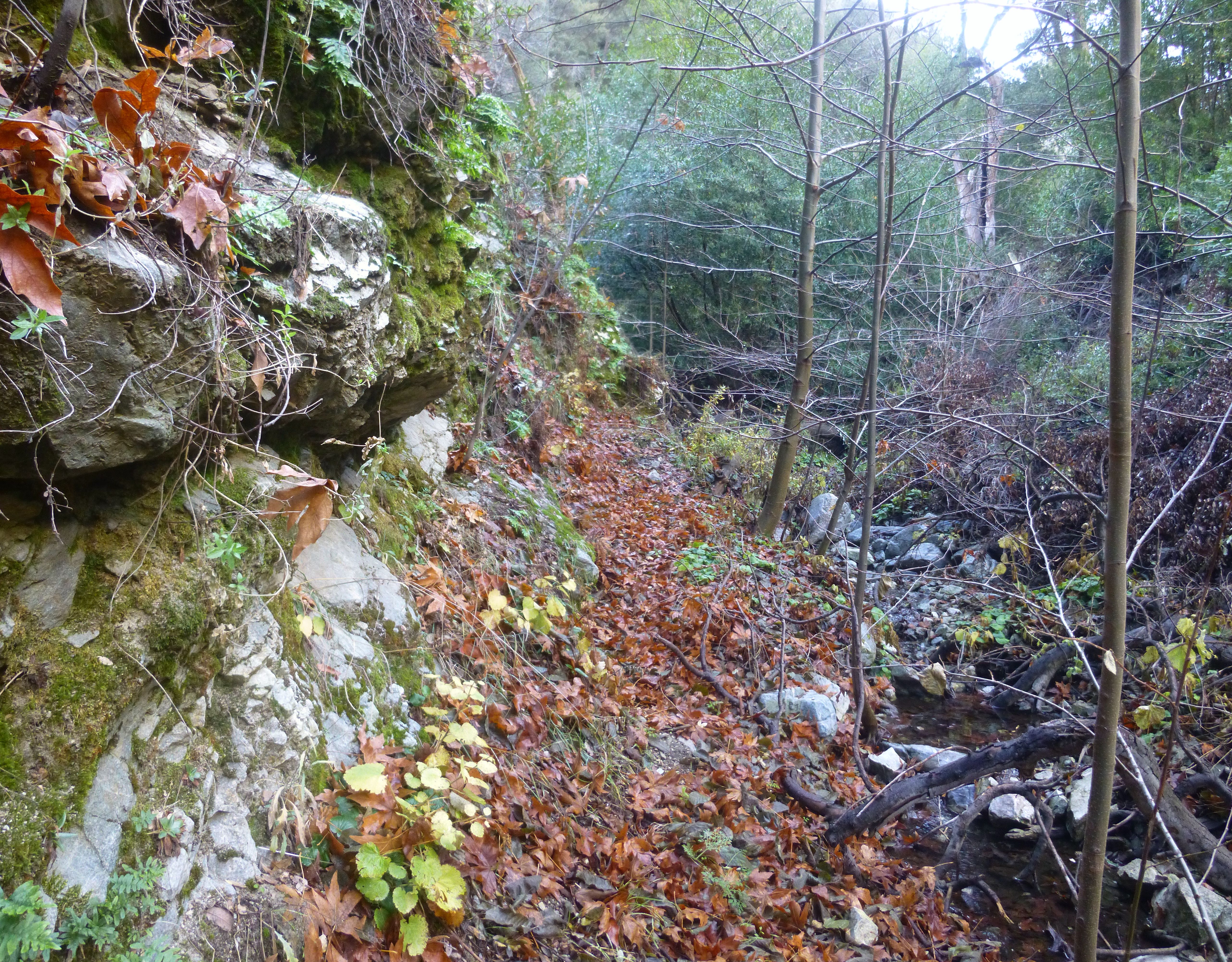
After dropping off the road, I made an immediate left turn and followed the man-made channel southward for 450 feet, ignoring graffiti and dodging trash along the way.
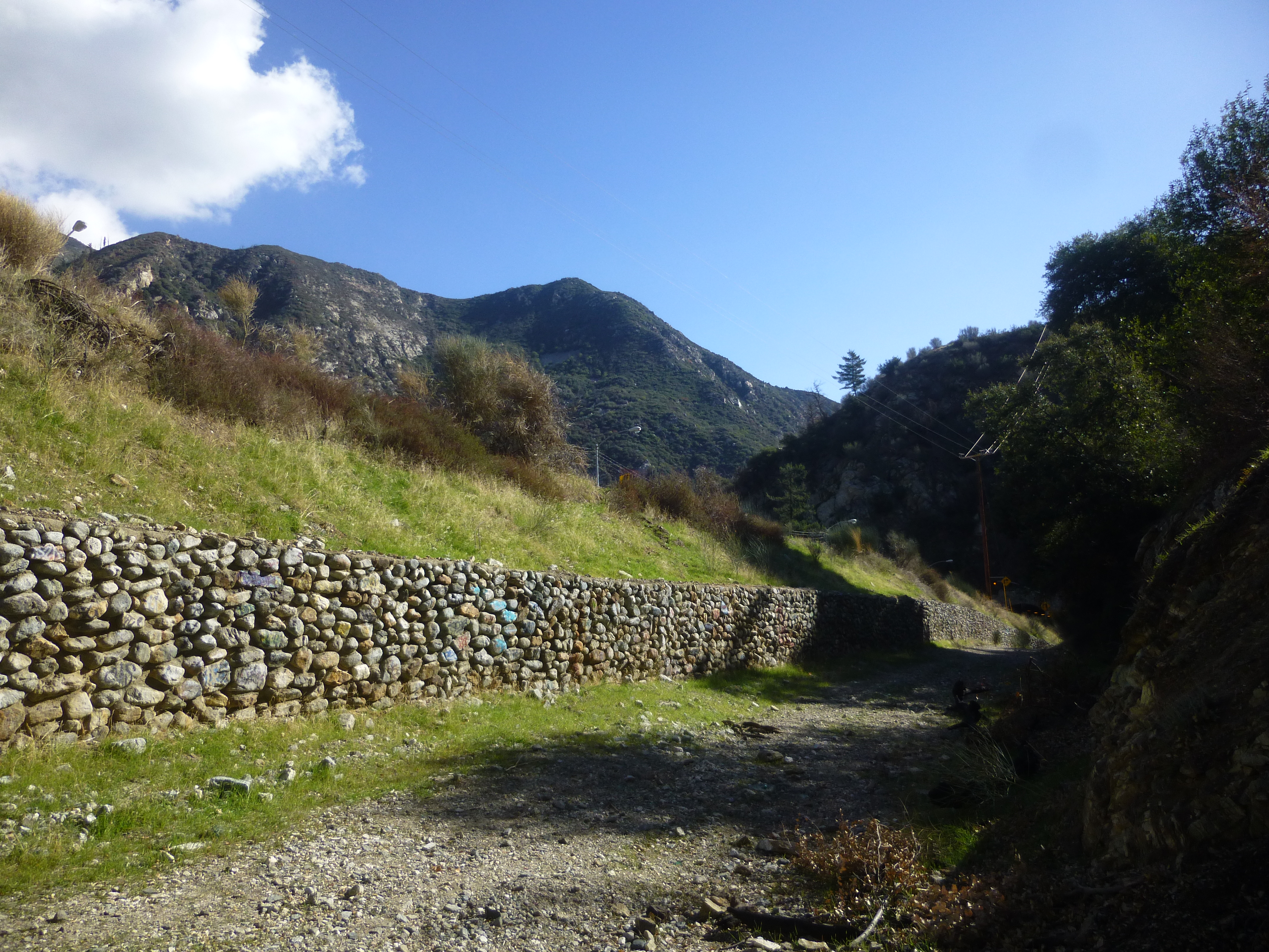
Then a right turn took me into the main course of Dry Lake Canyon. More unpleasantness had to be endured.
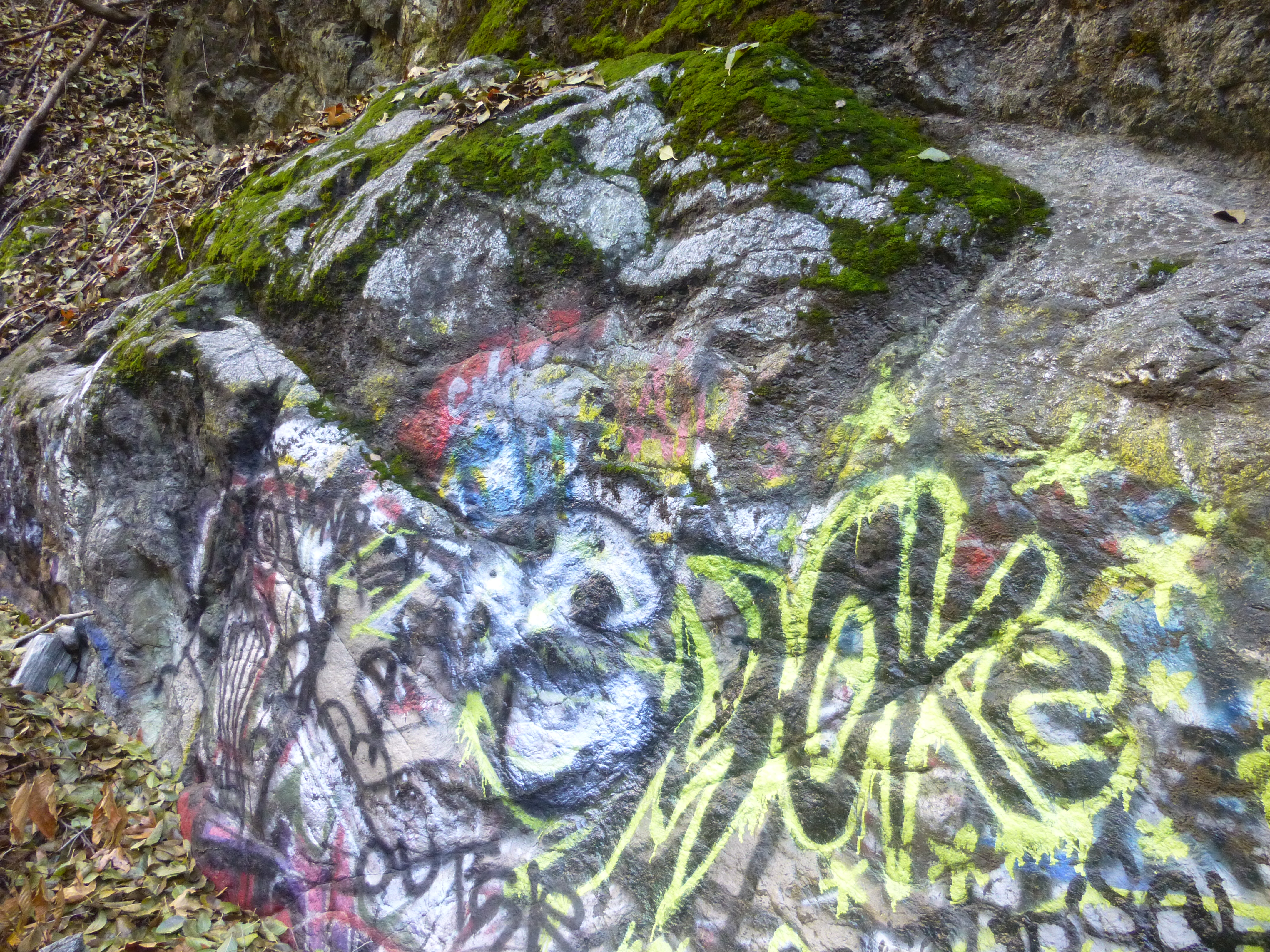
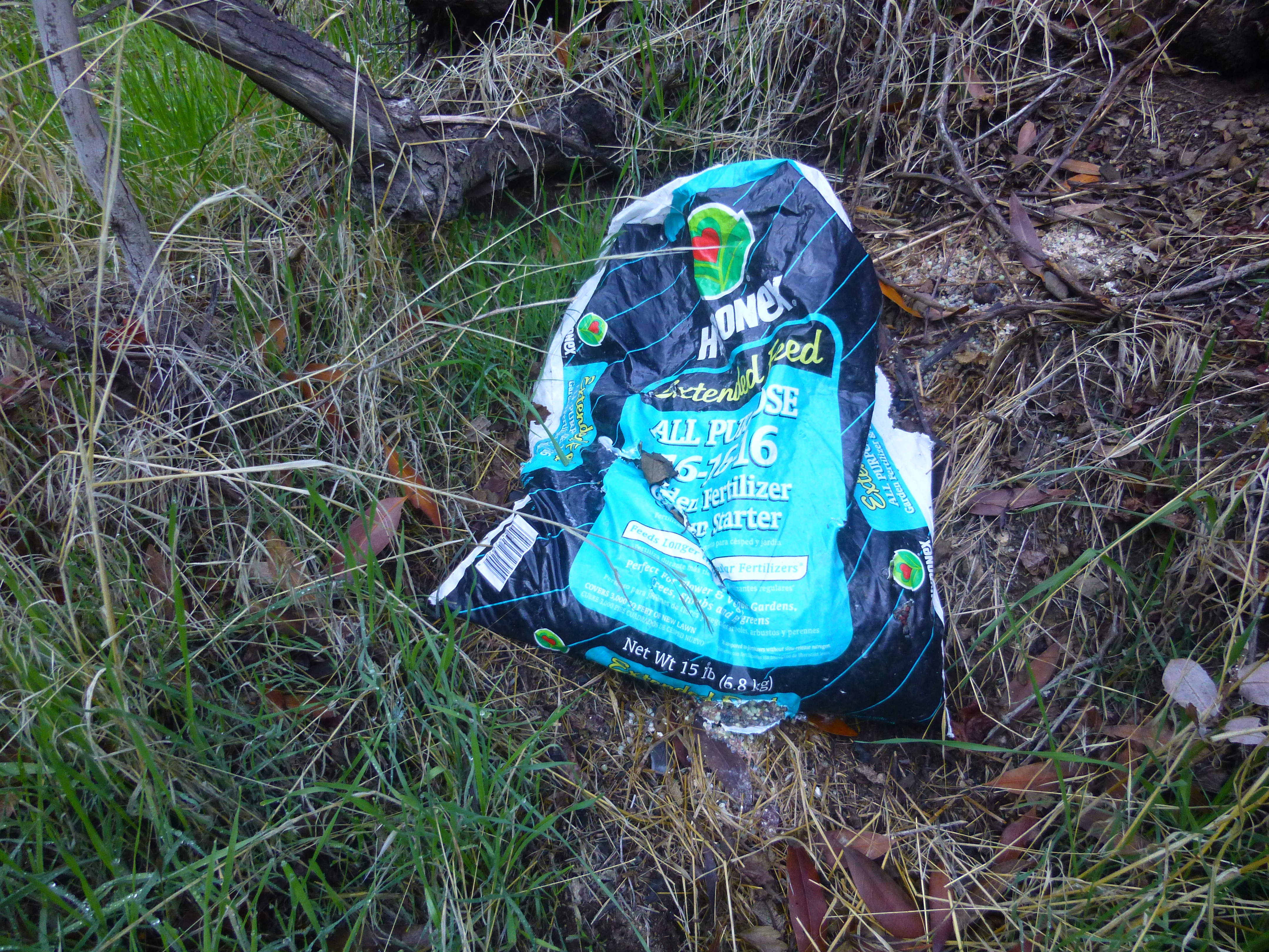
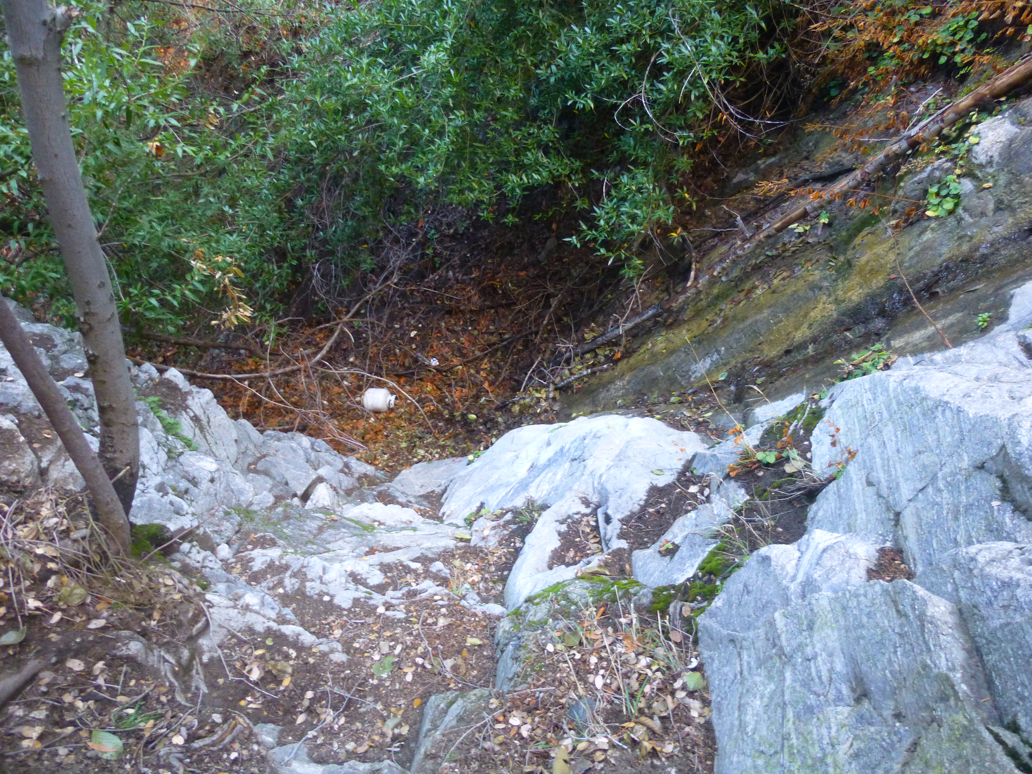
The paintings stopped fairly quickly, but I found a little garbage throughout, attributable to litterbugs who visit the waterfalls--and also the canyon's obvious popularity with guerrilla farmers.
But enough of the bad, let's get to the good.
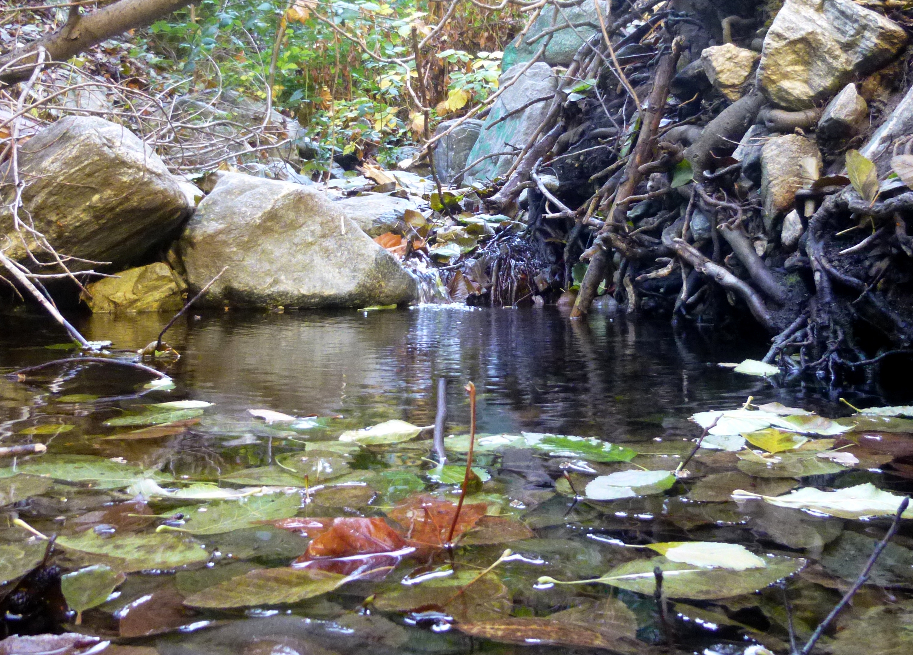
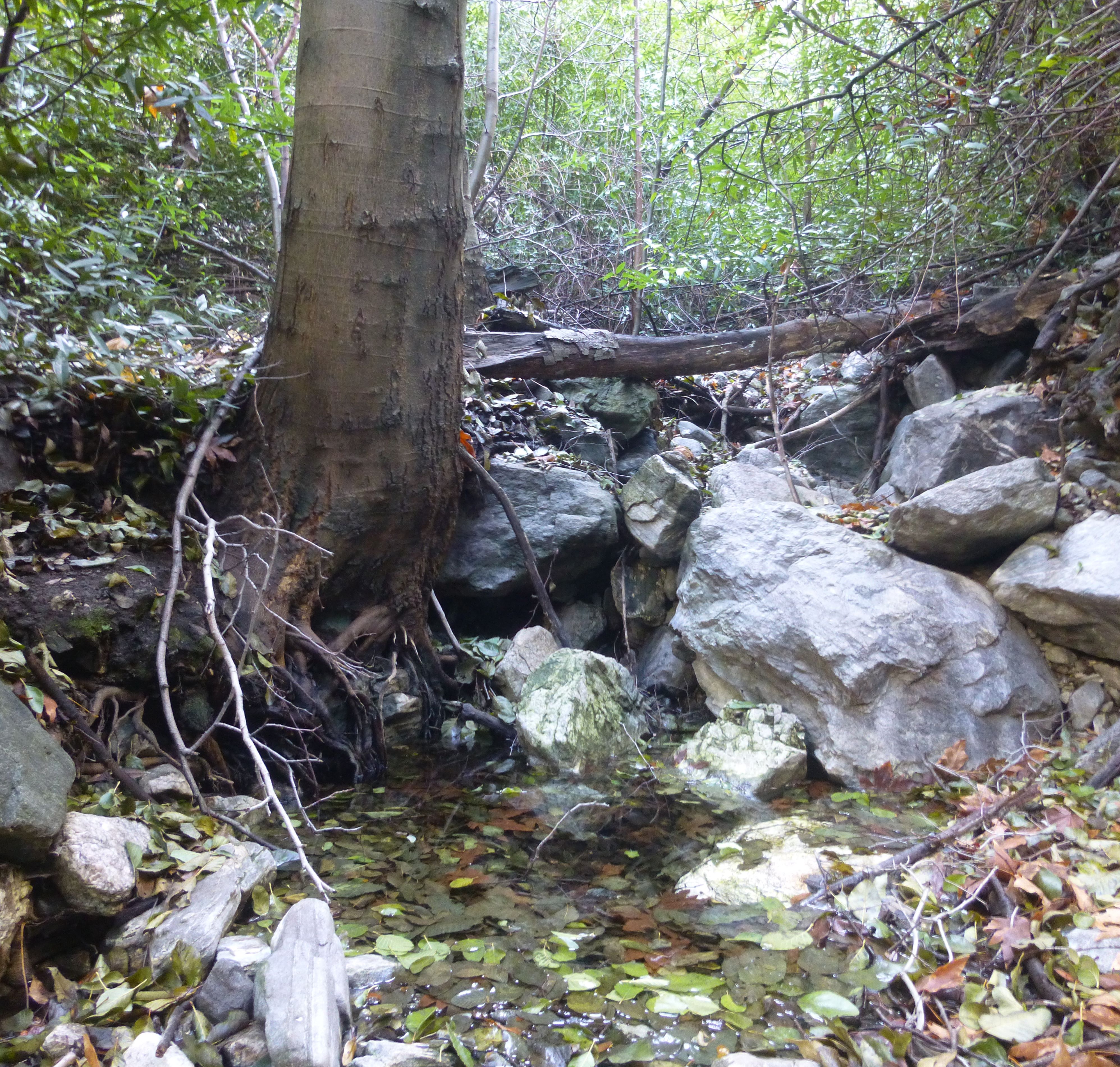
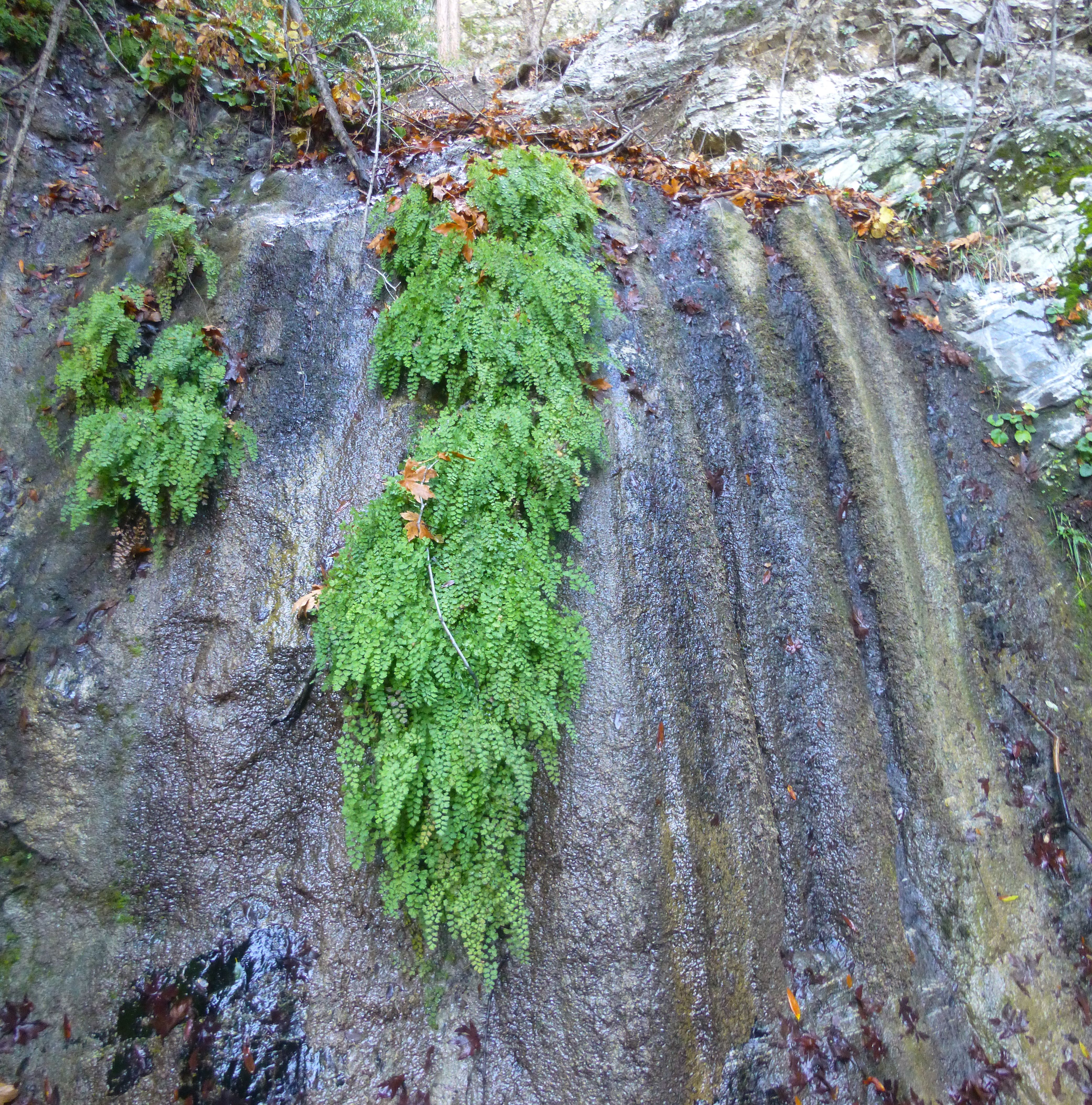
Post-storm, this little corner of nature smelled and looked amazing. Water flowed in much of the narrow canyon. Moss and ferns covered boulders and walls.

Slick logs and shallow pools blocked the path.
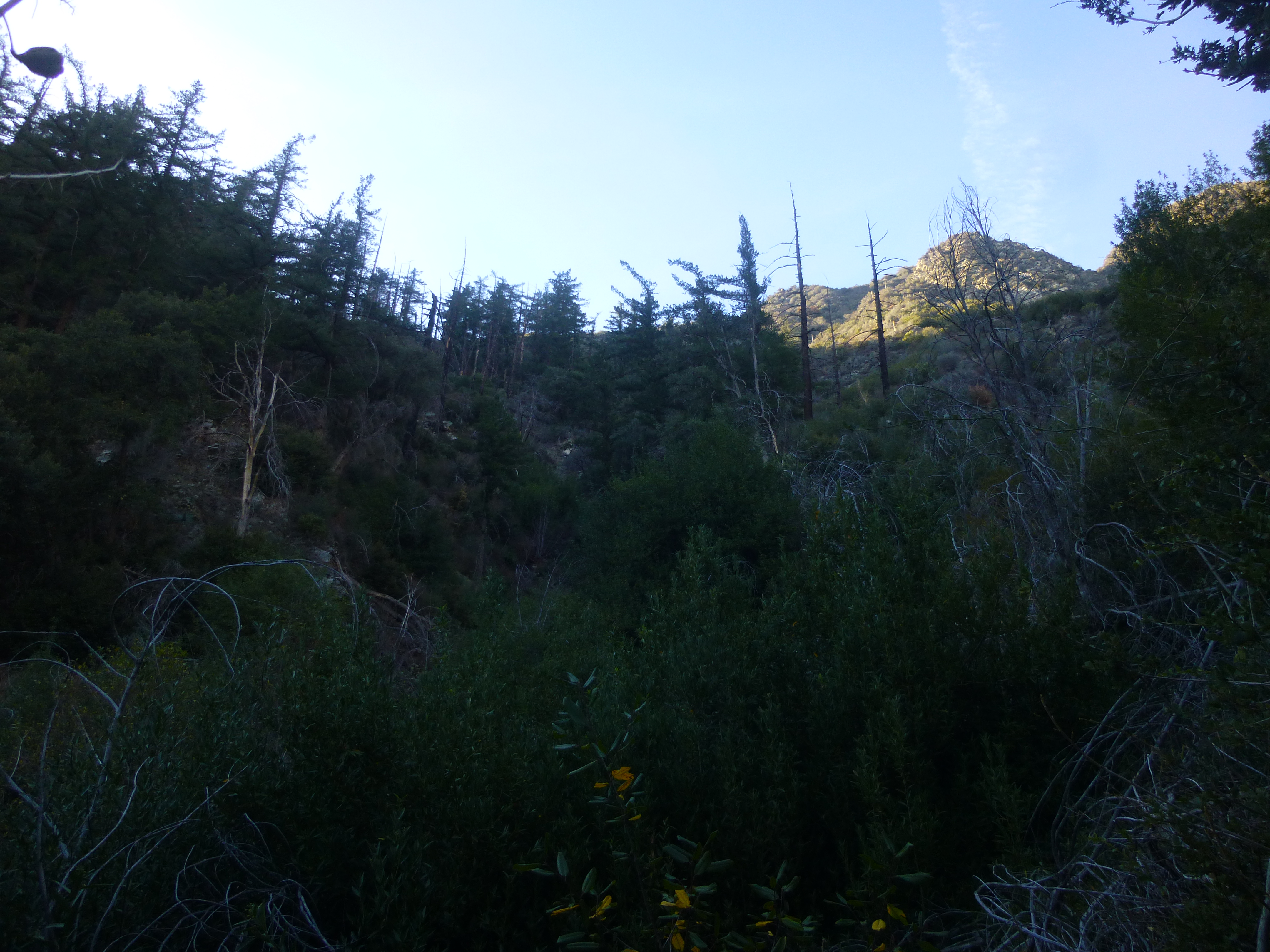
About 0.8 miles from the car, I came to a three-way split around elevation 3560'.
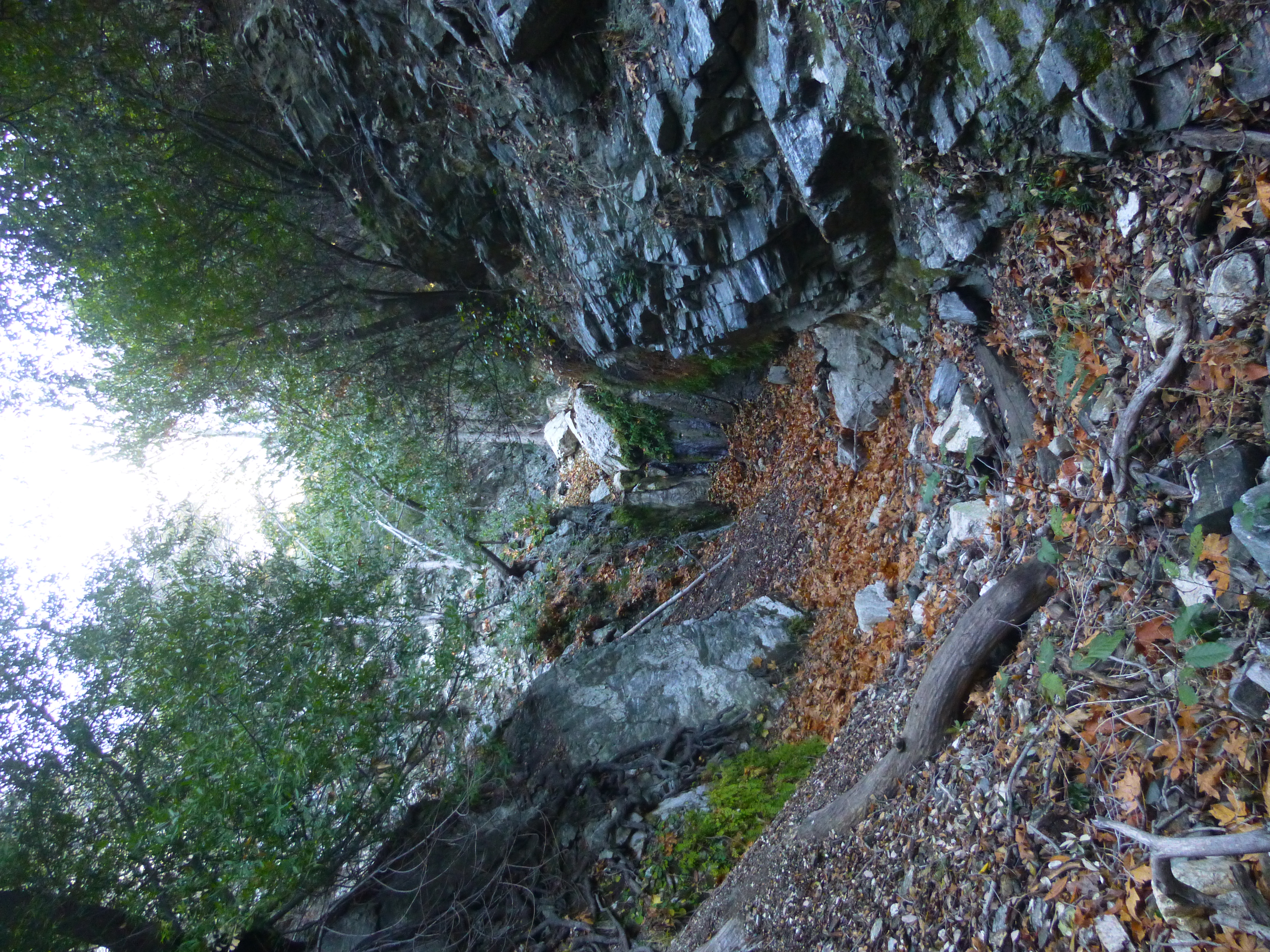
I kept to the right, staying in the main branch. Less than a quarter-mile further, around elevation 3800', the canyon banks leftward into the first waterfall, a charming two-tiered obstacle with a challenging, loose bypass on the right.
The class 2/3 scramble can be made easier by using the rubber hose dangling from a tree, which I failed to notice during the ascent and only utilized on the way down.
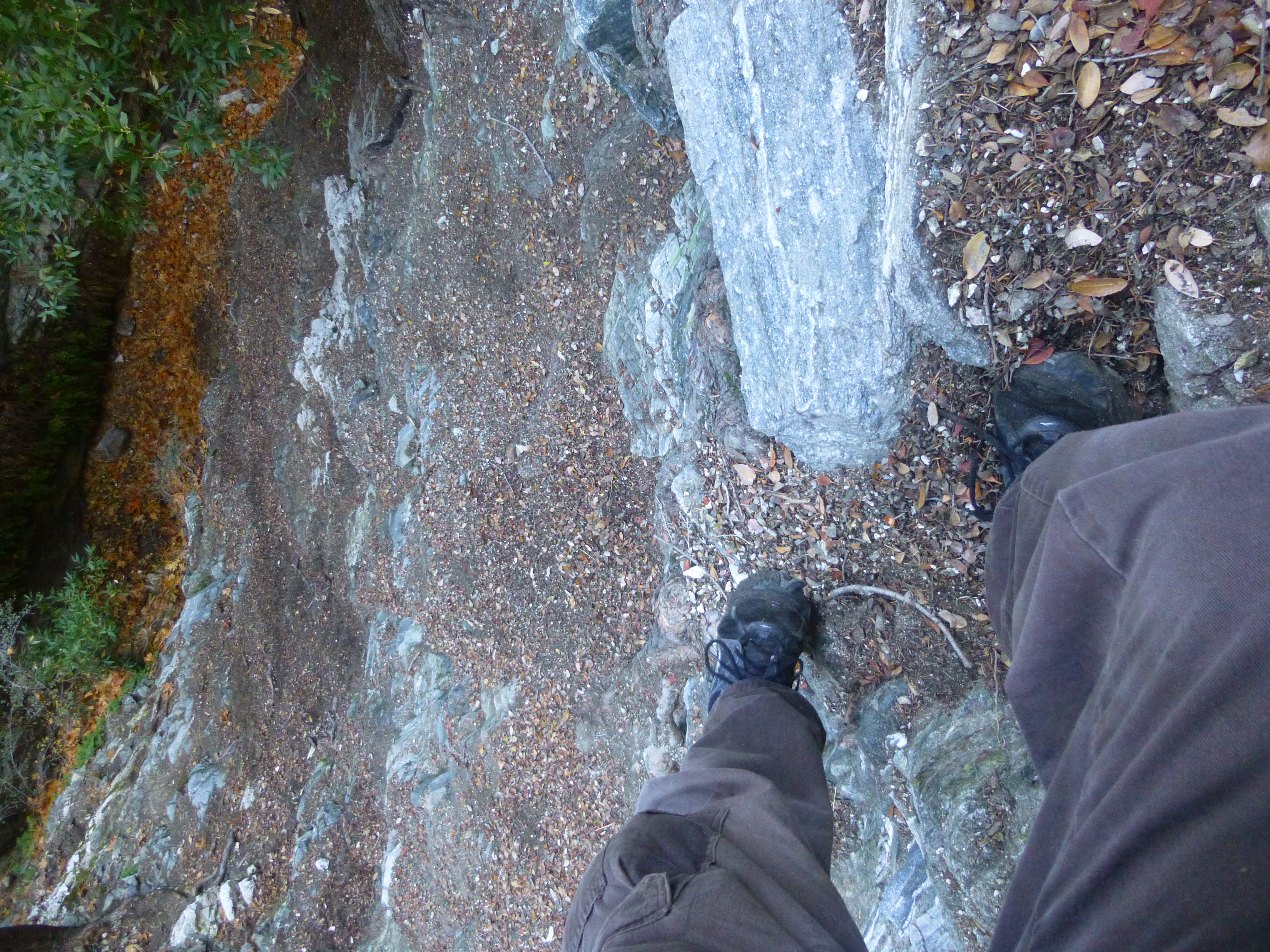
After unintentionally contributing some rockfall to the streambed, I scrambled onto the platform above the first tier and looked down.
Directly behind me was the second tier.
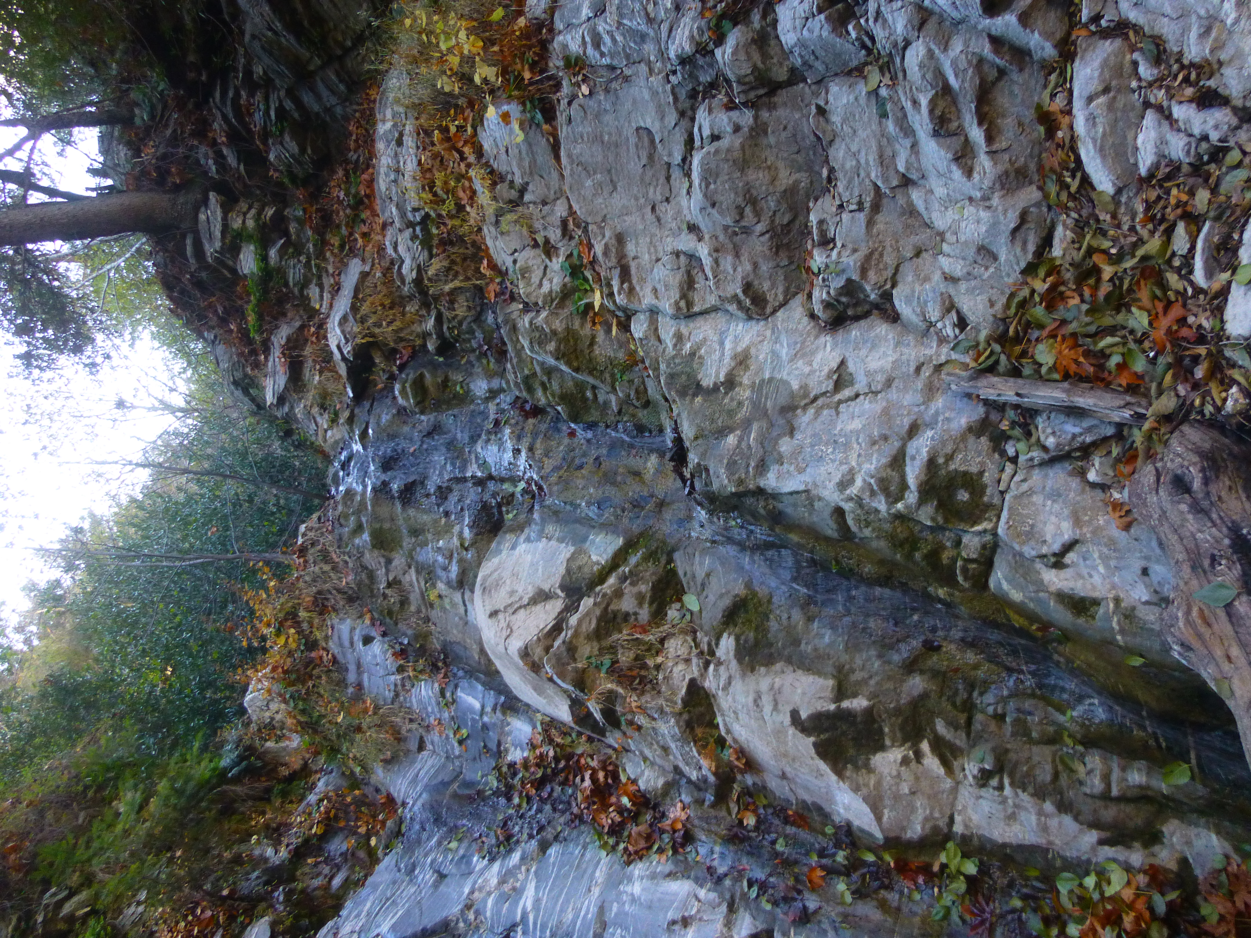
To the right of the water some rock offered a fairly easy climb with fairly stable steps.
Just beyond someone had carved a bunch of Spanish words into a tree.
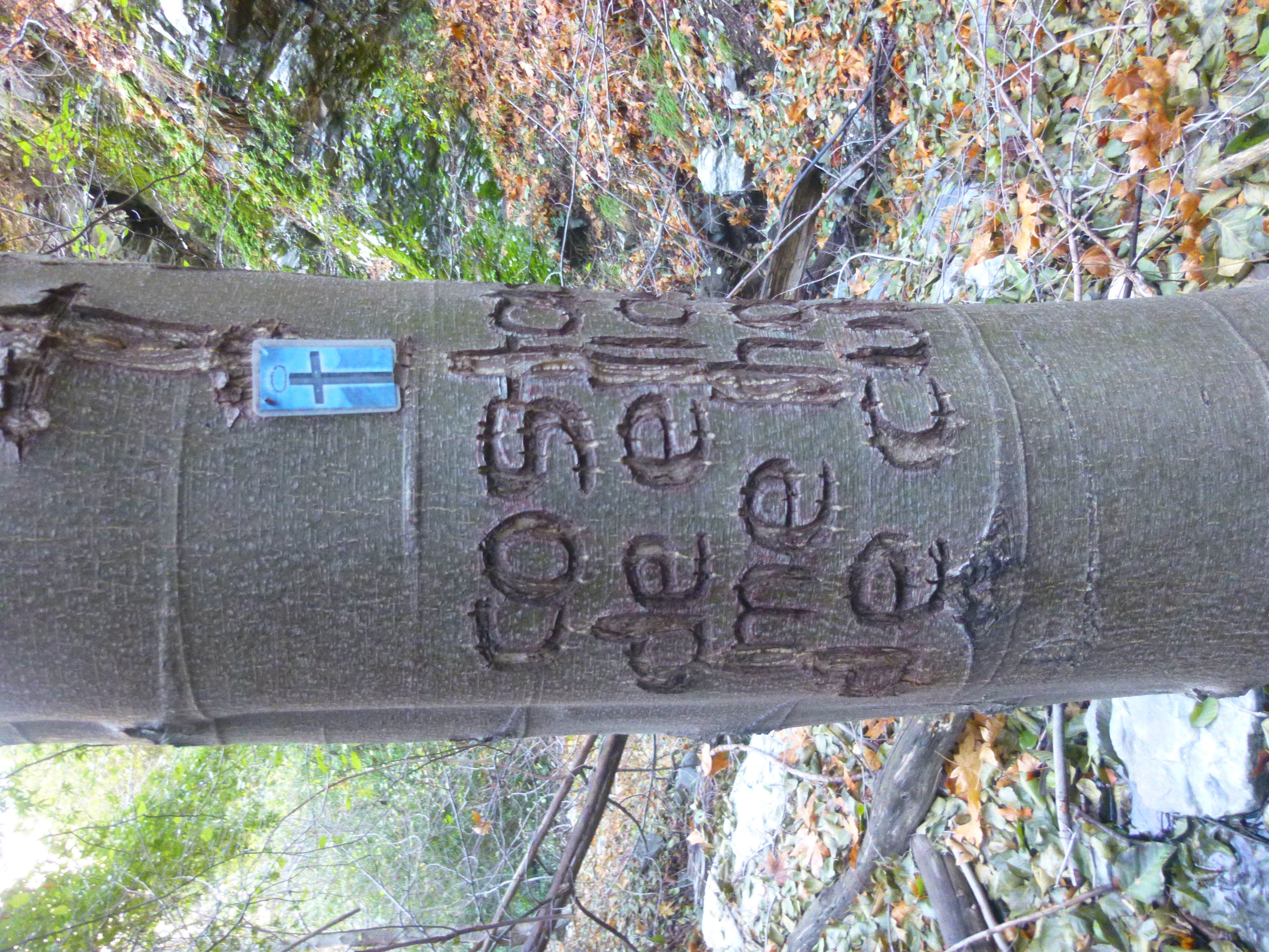
Perhaps it was a warning from guerrilla farmers, I thought. Then I noticed the cross and the name "Jesus." How boring and un-dangerous!
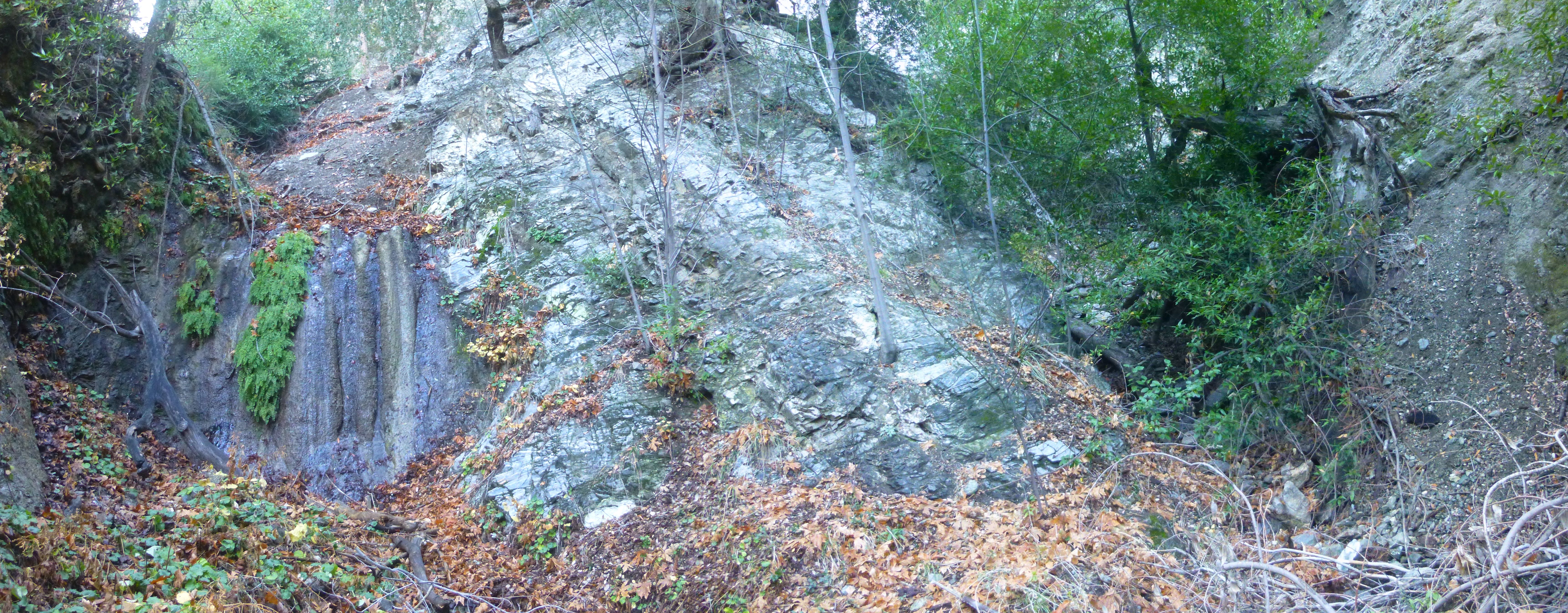
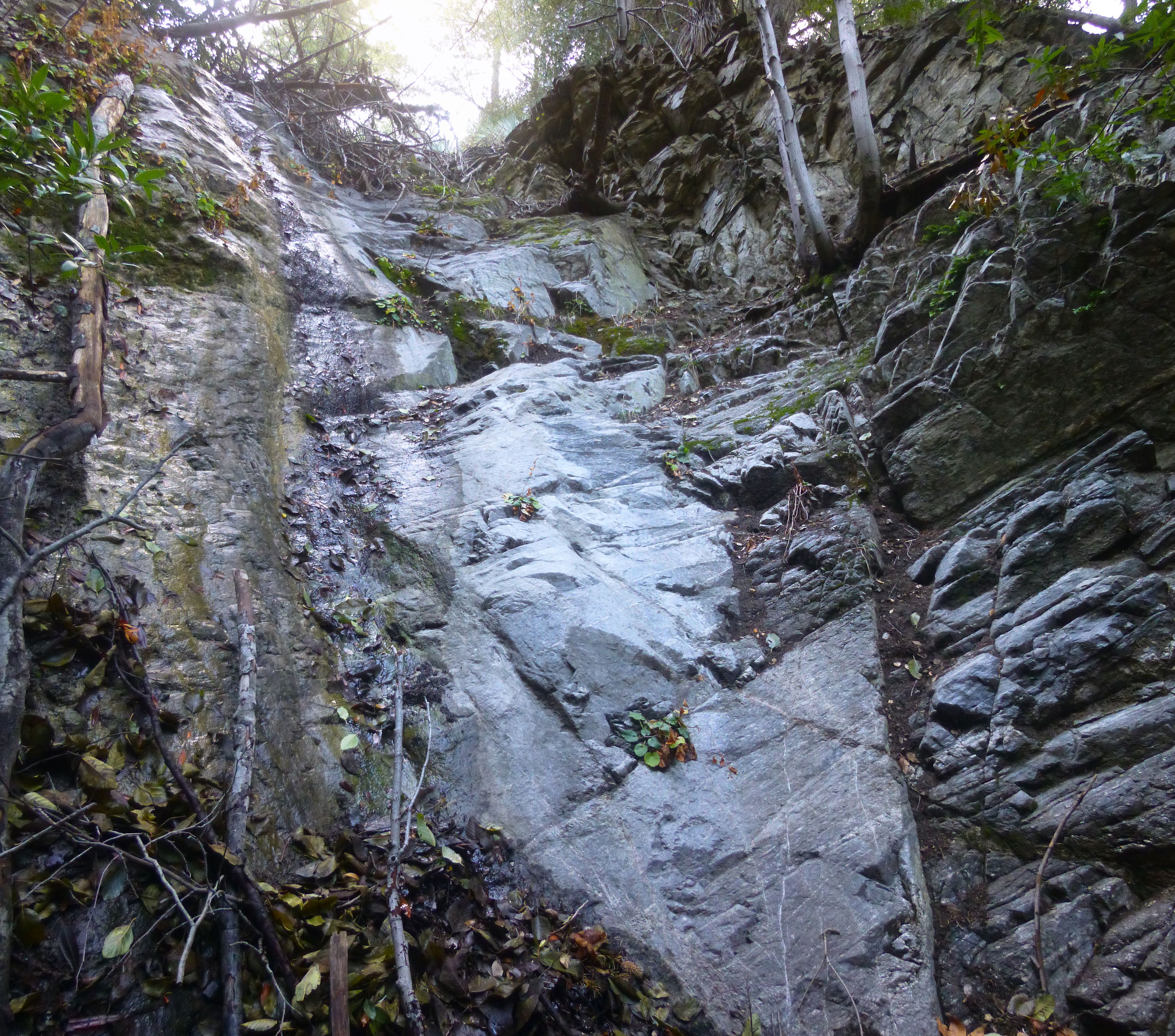
Continuing up-canyon for another six minutes brought me to a second, smaller waterfall, located near elevation 4000', where a tributary comes in from the right.
I took a peek into the tributary.
Another small waterfall blocked that route. For reasons unknown, I headed straight up the left slope here and did some exposed class 3 scrambling,
ultimately finding my way back to the main canyon above the waterfall.
Around 4160' there was a third waterfall in my way.
A little more class 3 (up the right side) put me at the top looking down.
Here a stream could not be found, and the brush looked overwhelming.
I pushed my way up to the ridge for a brief view down-canyon.

Then, having reached my turnaround time, I gave up the battle with the brush.

