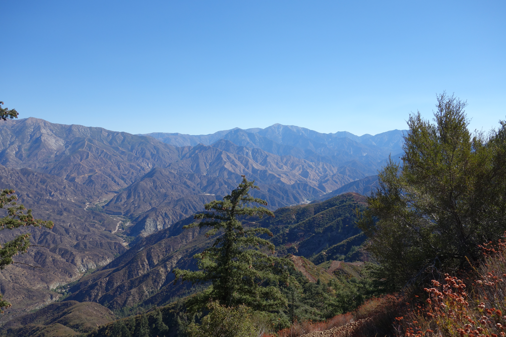
The views within Rincon Canyon were nothing to write home about, but looking East towards the fork and North towards the Hawkins' ridge provided some informative perspective on areas previously hiked. As the viewshed into the West Fork, Bear Canyon, and the Mermaids opened, I could scarcely watch the trail, or stop snapping pictures. I was intrigued by the electronics site atop Pine Mountain (4539') and considered scaling the steep firebreak to its East. Once I saw how brushy it was I figured that waiting to reach its access road (2N24A0) was the more sensible course. Following a brief snack on Pine, I continued along 2N24, admiring the marvelous civil engineering of the Tehachapi Renewable Transmission Project and its towers.
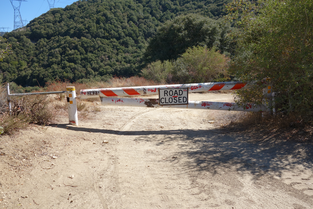
For the second time in recent memory, I attempted to follow the trail that ridges down from Rincon-Red Box Road to the area adjacent to Cogswell Dam on 2N25. I lost the trail on steep terrain around 1,600 feet down the ridge, opting to backtrack and continue along to the dam road rather than risk the uncertainty of safely completing the next 1.5 miles of seldom-used trail. I met up with 2N25 around 18 miles into the day's journey.
I stupidly started the hike wearing a pair of boots (Vasque) that I only use for two-to-five mile Verdugo day hikes from my office. It turns out that they are a bit too narrow and long. My hiking socks, liners and insoles turned out to be no match for hot spots and toe-box compression that were taking their toll on my poor feet. Once again, my handheld ham radio let me alert my wife to the fact that I'd be a bit later than planned due to the impassable ridge and compromised pace. Following a brief but pleasant chat with the damkeeper, I hobbled down to Glenn Camp and wolfed down a Clif Bar, some licorice, gummy worms, pretzels and dried cherries; not the most gut-settling combination.
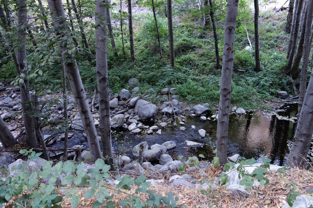
I tried walking a bit in my socks, but the direct pressure on now-ruptured blisters was a bit much. The walk out on the remaining seven and change miles of the riparian West Fork Road was a visual delight. The designated fishing spots, shaded benches, flowing seeps on the south canyon wall, warm breeze, and evening hikers all helped me take my mind off my abused hooves.
Car to car ended up being a short 11 hours and 40 minutes.
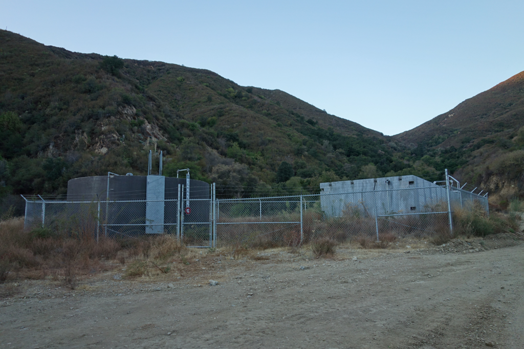
Water tanks presumably fed from Fern Spring, up the canyon a ways.
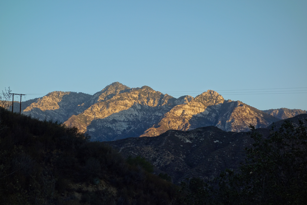
The sun just starting to warm up Twin Peaks. Note the triplets!
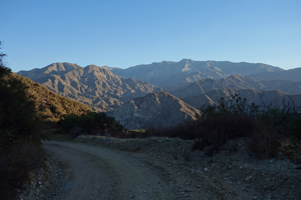
Smith Mountain, Pigeon Ridge and the Hawkins'.
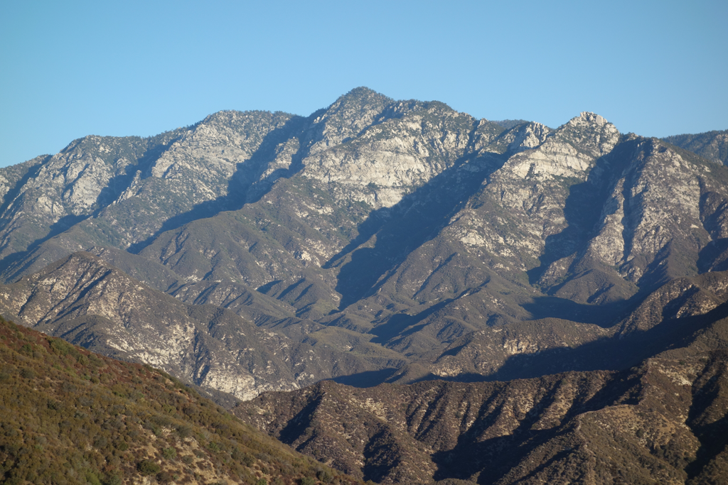
More detailed view of Twin Peaks.
Mount Wilson, San Gabriel Peak. Mount Disappointment, and the rocky downstream face of Cogswell Dam.
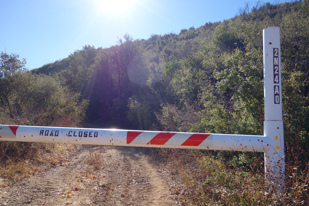
Access road to this Pine Mountain.
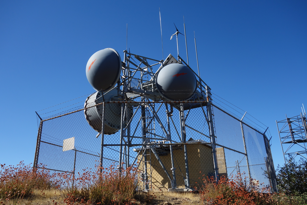
Interesting microwave relay and repeater site. It is entirely solar and wind powered. Note the little wind turbines.
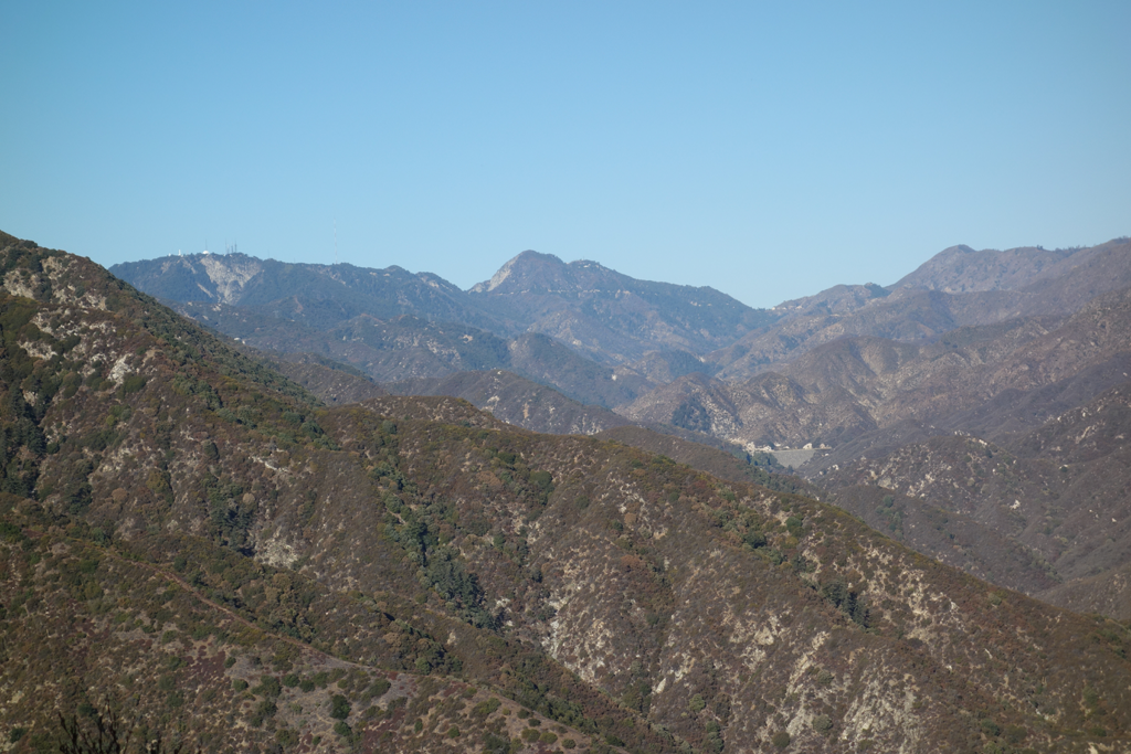
View up San Gabriel Canyon Road, to about Coldbrook.
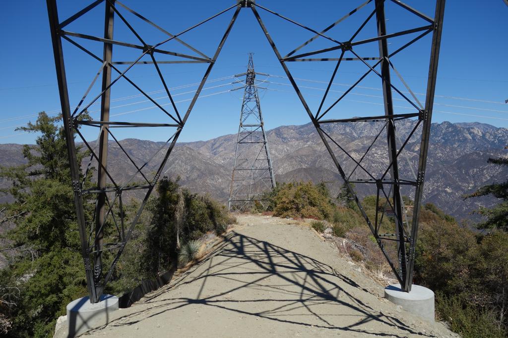
Top of the ridge down to Cogswell. Thus far impassable by me. New, unstrung TRTP tower in the foreground.
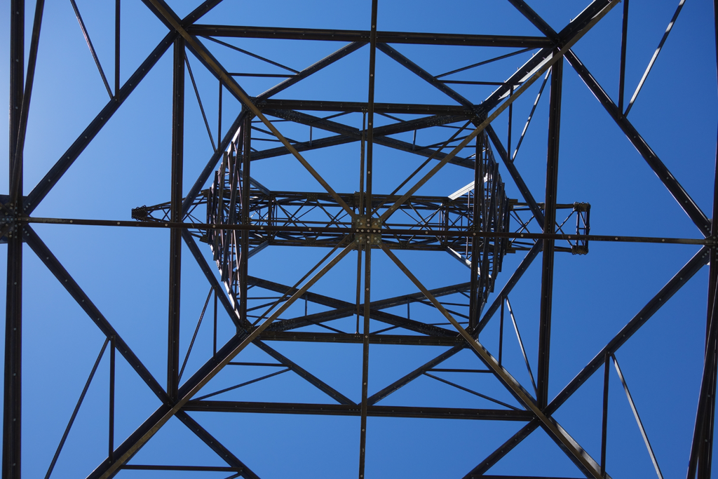
View up through the lattice of the new tower.
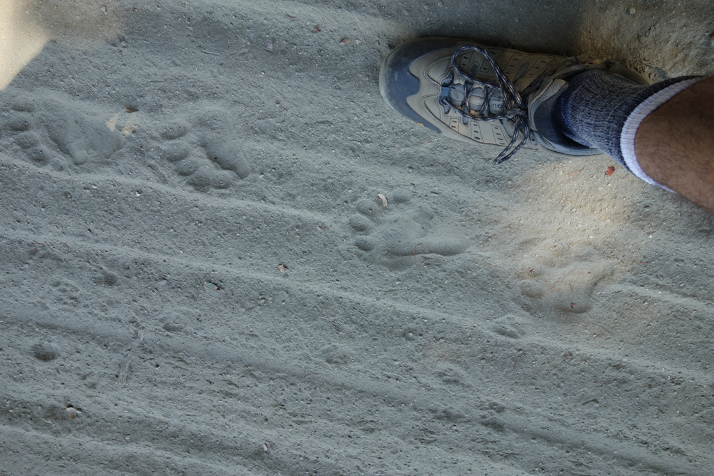
I lost count of the number of distinct ursus americanus tracks on this road.
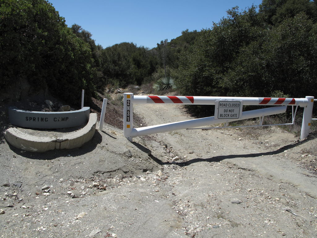
At long last my day's far point, the road down towards the dam and West Fork Road.
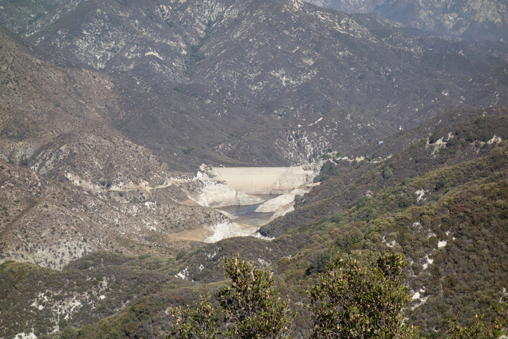
Pretty empty looking Cogswell Reservoir. I'm not sure whether they've trucked out the Station Fire sediments yet.
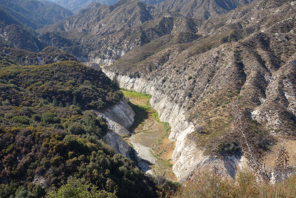
Dry western leg of the reservoir. This leads out towards Devore campground via the old anglers' route.
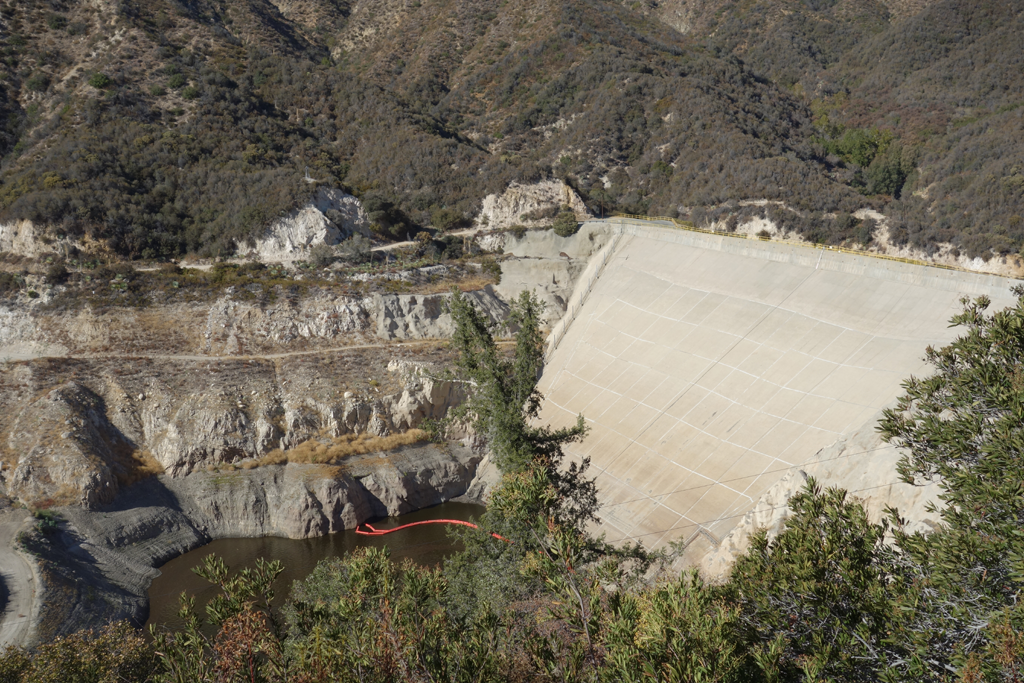
Concrete-faced upstream side of Cogswell Dam. Uppermost road leads into Devil's Canyon.
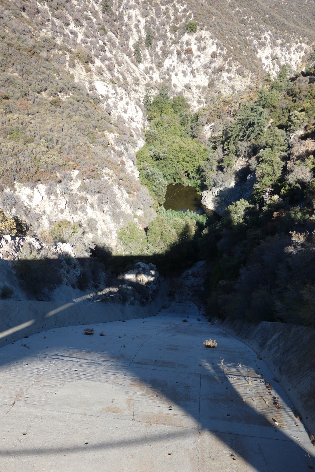
View down the spillway into the San Gabriel River's west fork.
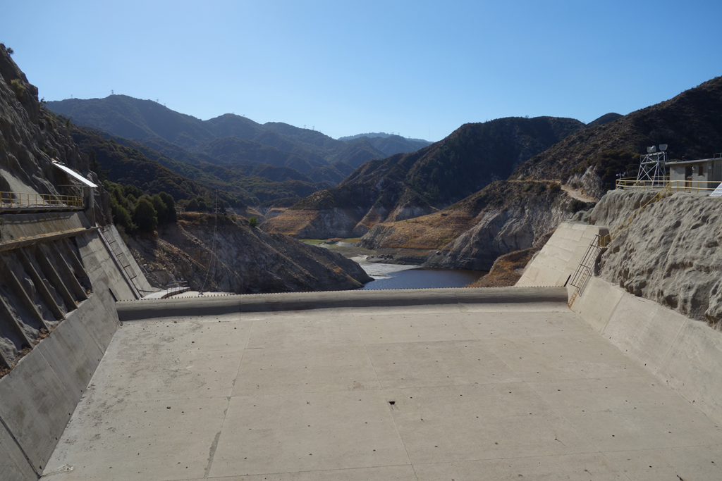
View up the spillway across Cogswell Reservoir. Note the gaugeworks and cableway at the left of the picture.
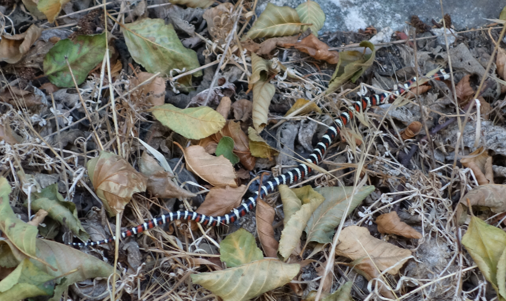
One of the few ubiquitous Kingsnakes (juvenile Lampropeltis zonata subspecies indeterminate) that I've spotted when hiking.
West Fork flowing nicely near the dam. Quite low and slow by the time it reaches San Gabriel Canyon Road.
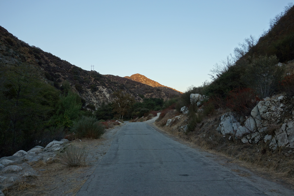
Approaching the road, and the end of my day's journey.
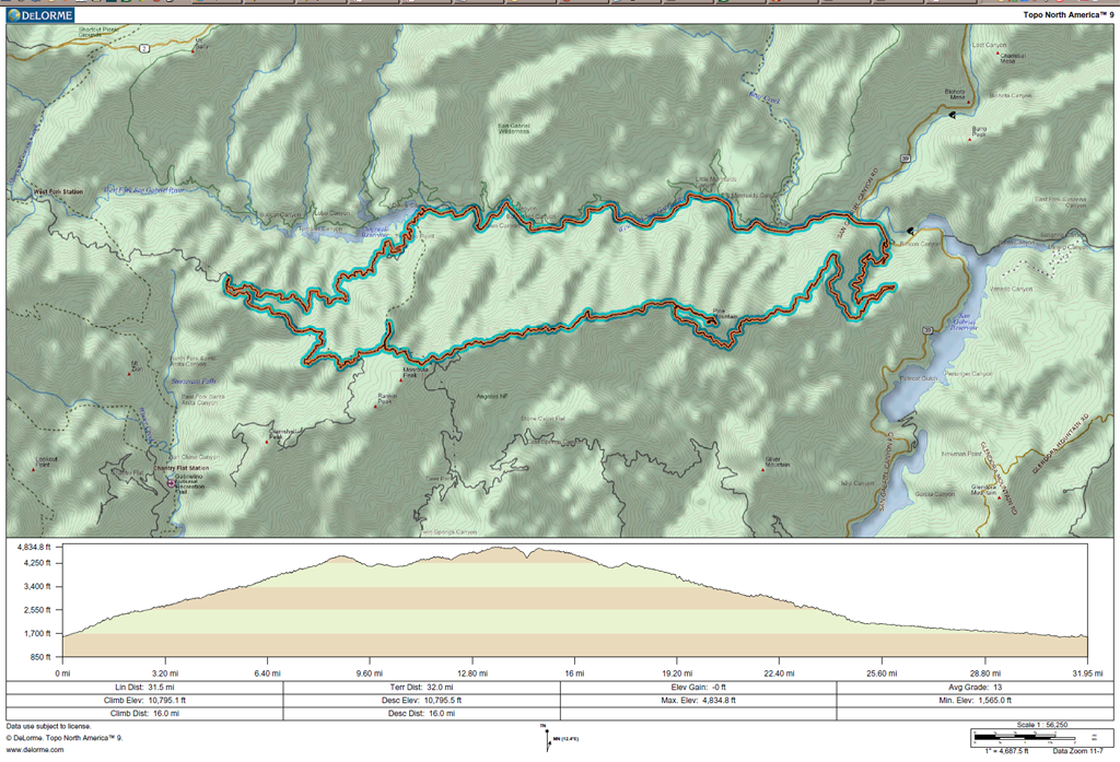
GPS track and elevation plot.