Strawberry and Lawlor Still "Closed To Public Use"
Posted: Tue Oct 08, 2013 12:19 pm
I drove up to Red Box yesterday and took a look at the trailhead for Mt. Lawlor and Strawberry Peak. There was a sign posted: "Closed To Public Use." So I temporarily used it for private use while the government continued its shutdown games.
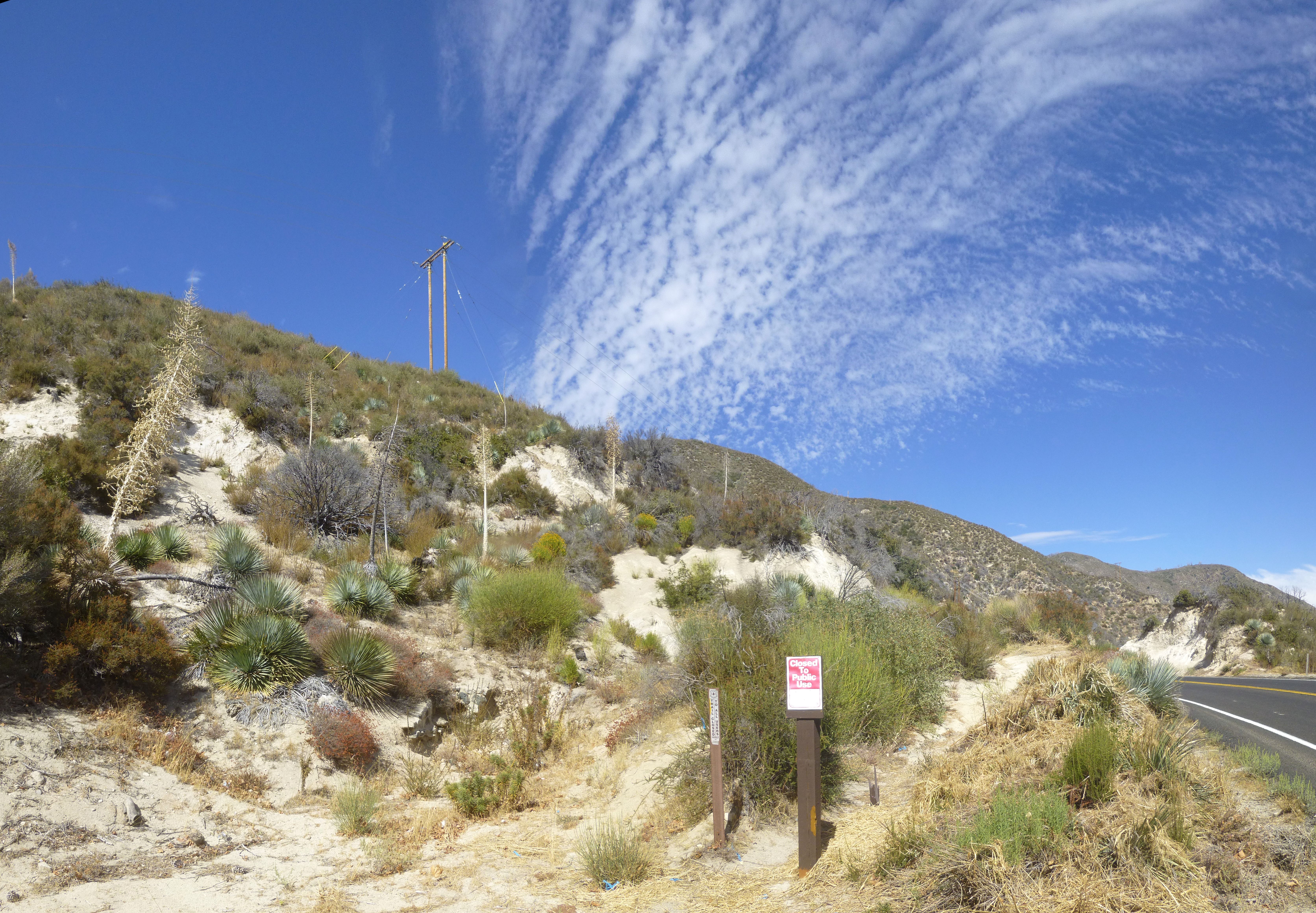
The trail is in fine shape, clearly being worked and utilized, and in better condition than many neglected trails that remain open. There are a few minor landslides and washouts that narrow the track down to a couple feet wide in spots with potentially dangerous falls if you unceremoniously stumble at the worst possible time.
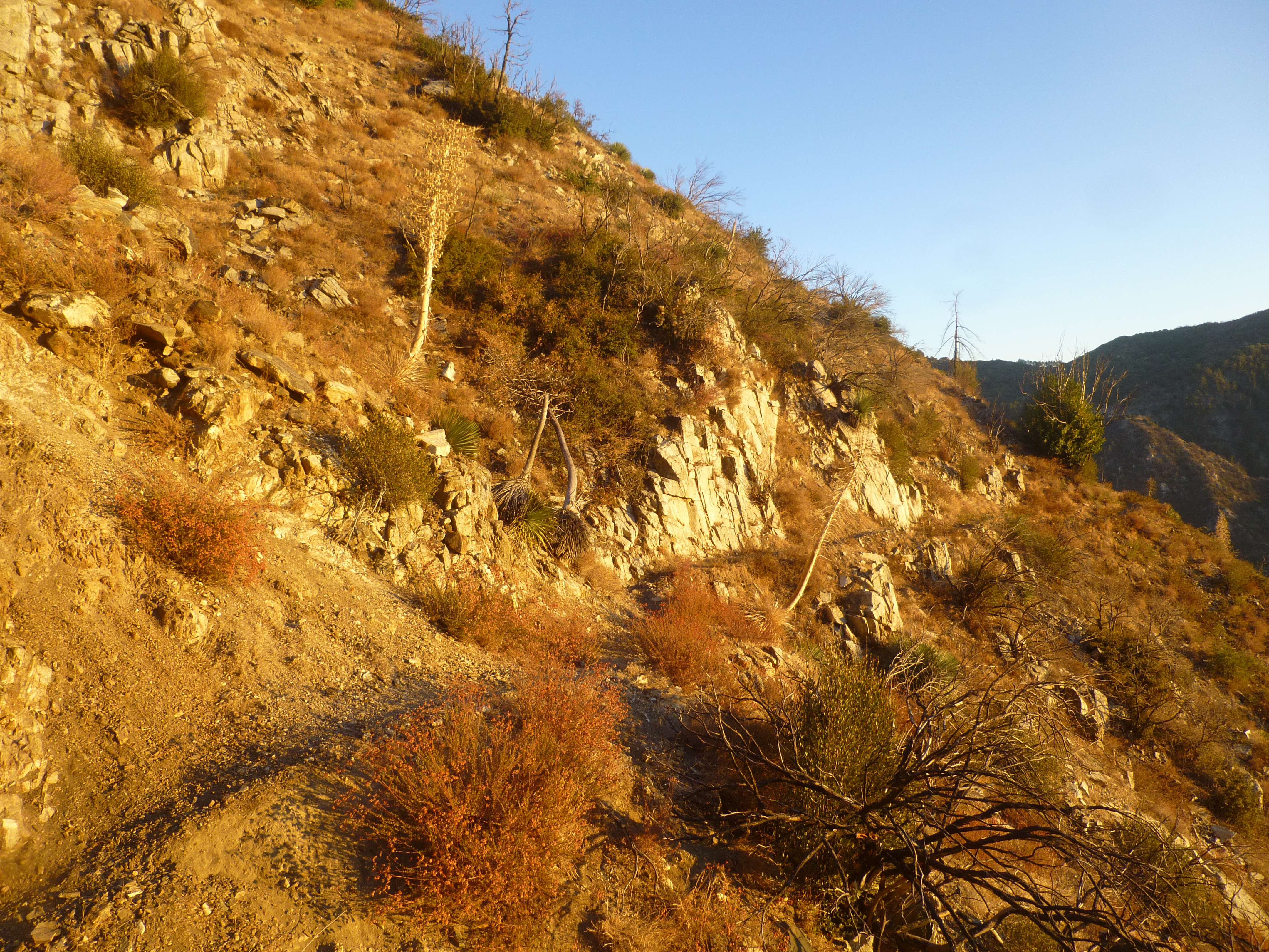
To the Lawlor/Strawberry Saddle it's all Class 1 with a bit of poodle dog next to the trail. If you're not observant, you might lightly brush it in a couple spots, particularly during the contour around Lawlor's west flank, as Strawberry comes into view.

At the saddle the main trail continues downhill, this time contouring around Strawberry. Instead I hopped on the less manicured ridge route up to the peak, which started immediately to the left of the main path.
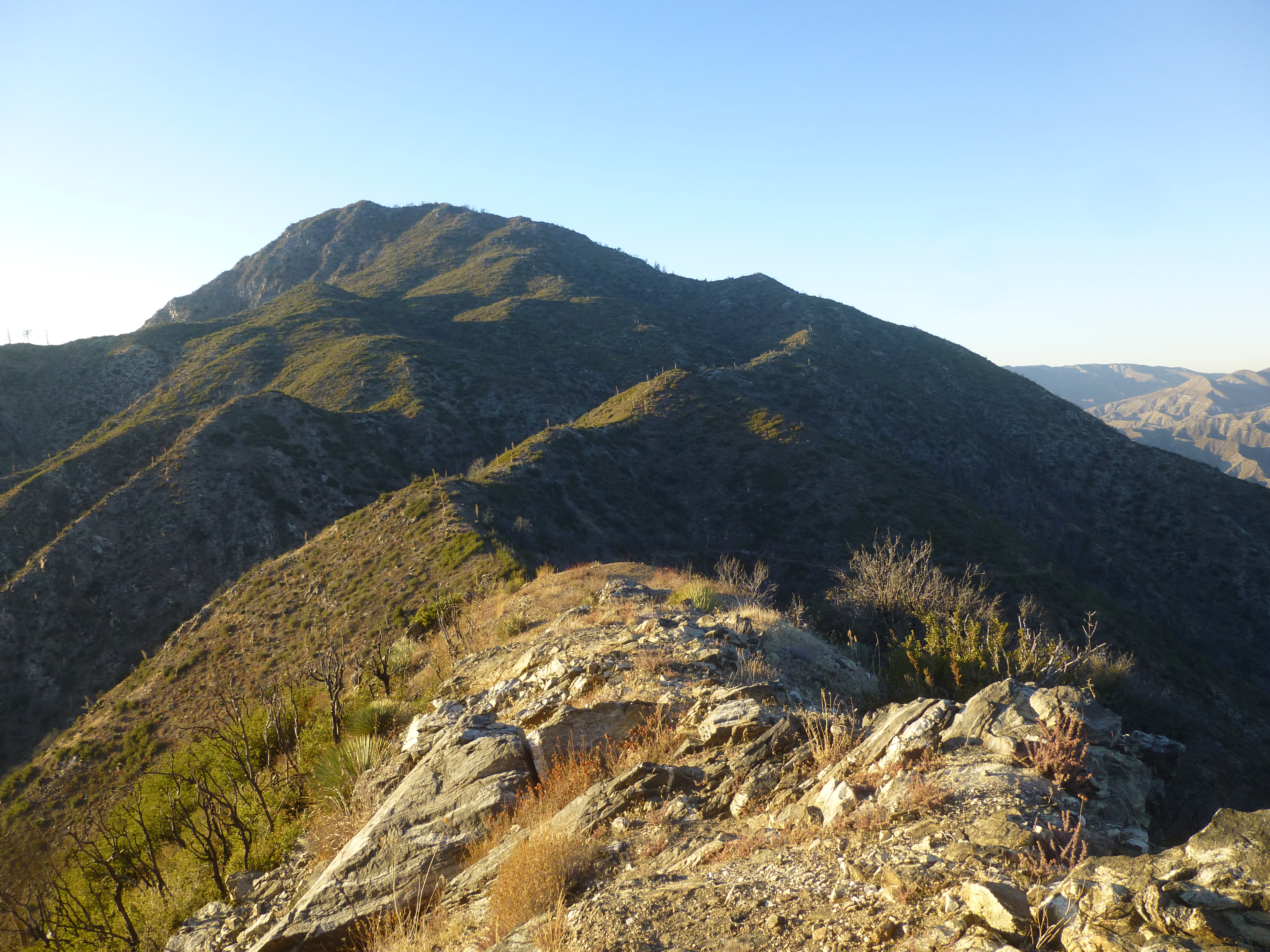
The ridge rollercoasters once or twice before granting some easy Class 2 climbing over a few boulders.
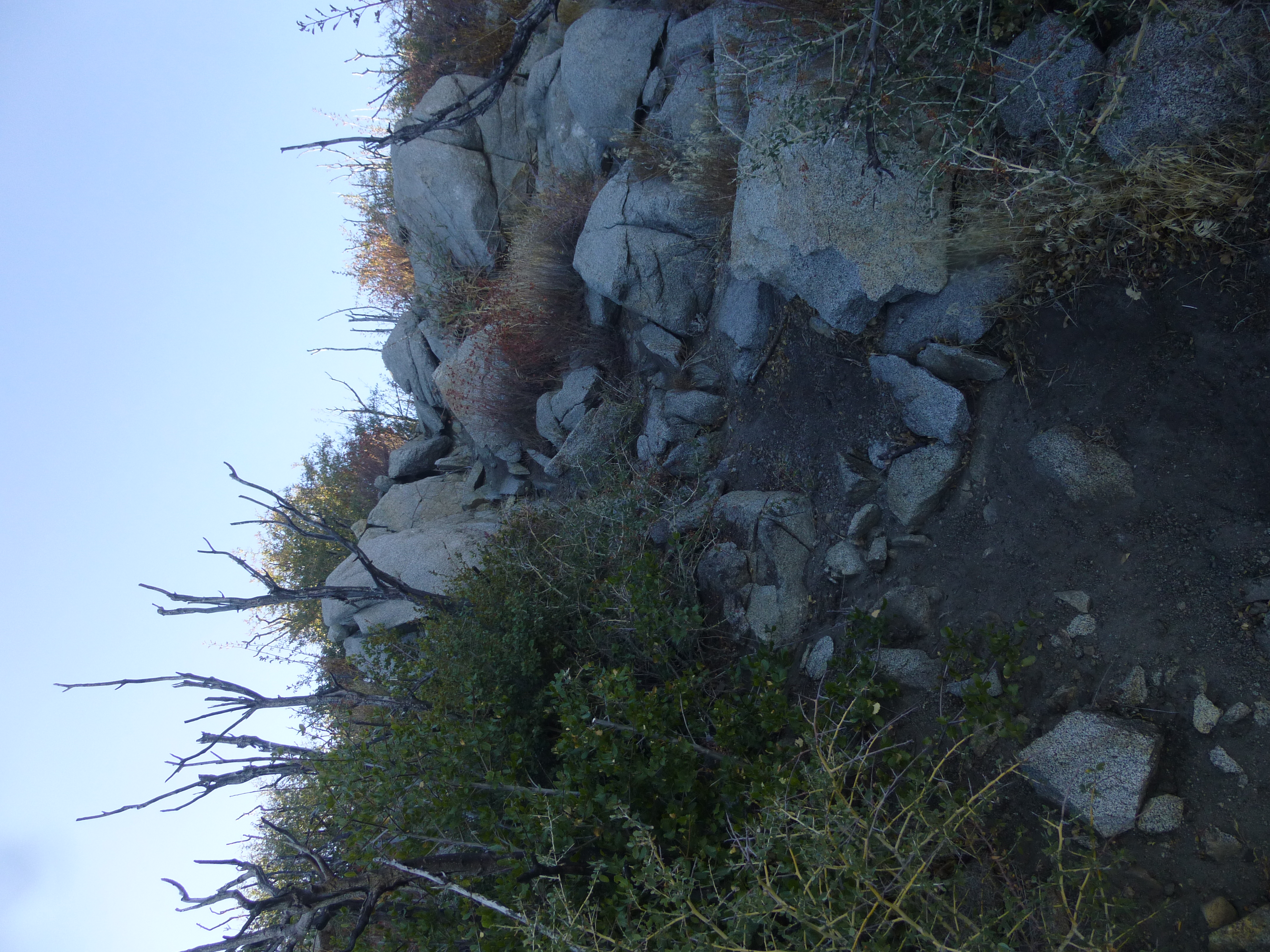
It was steep and sandy at times. Rocky and overgrown at others. But the trail was nearly always obvious. One spot had some poodle dog that required a tiny detour to avoid. After a couple false summits I was standing on Strawberry Peak for the first time.

To the west was Josephine Peak and Colby Canyon.
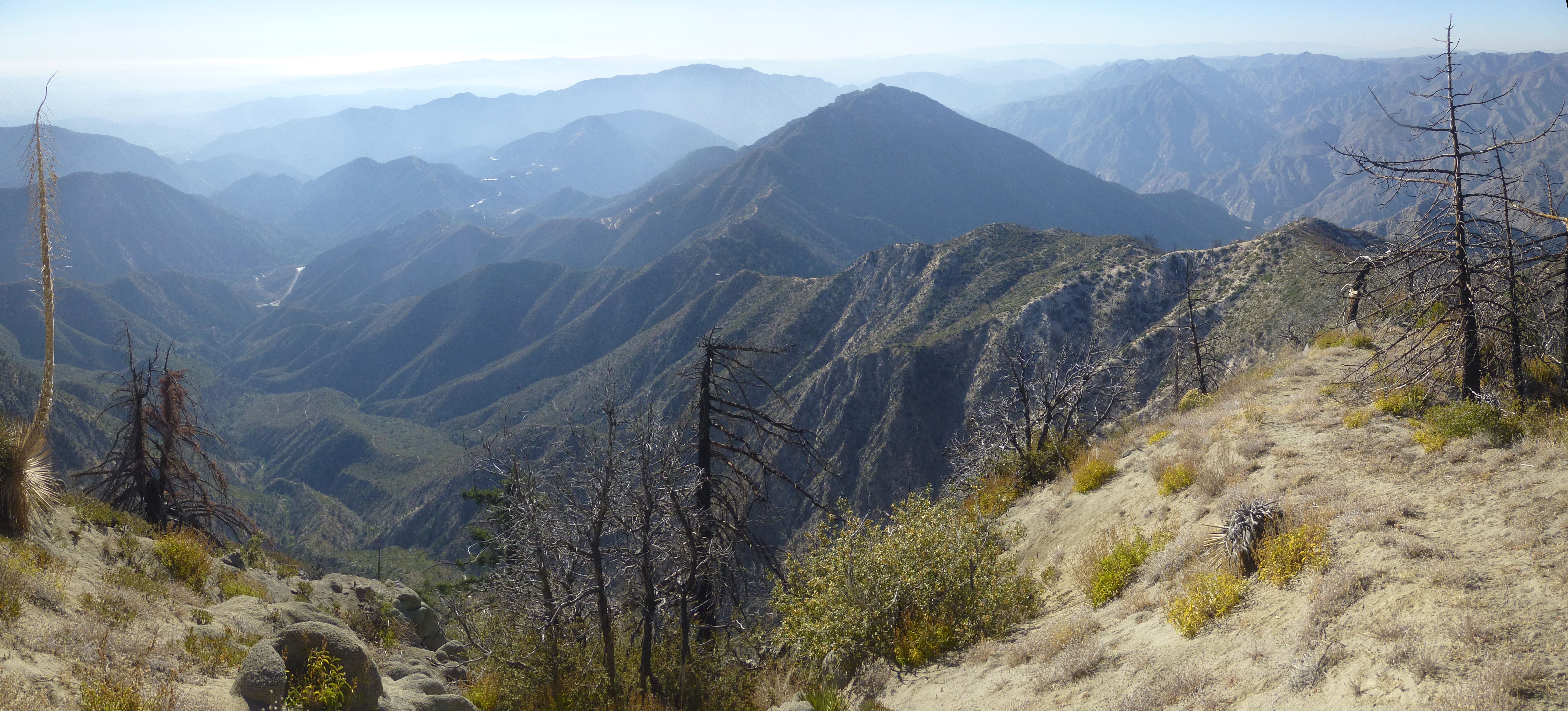
To the south was Wilson and company.

The other directions looked pretty cool too.

Back at the saddle I headed up the other side of the ridge to tag Lawlor.
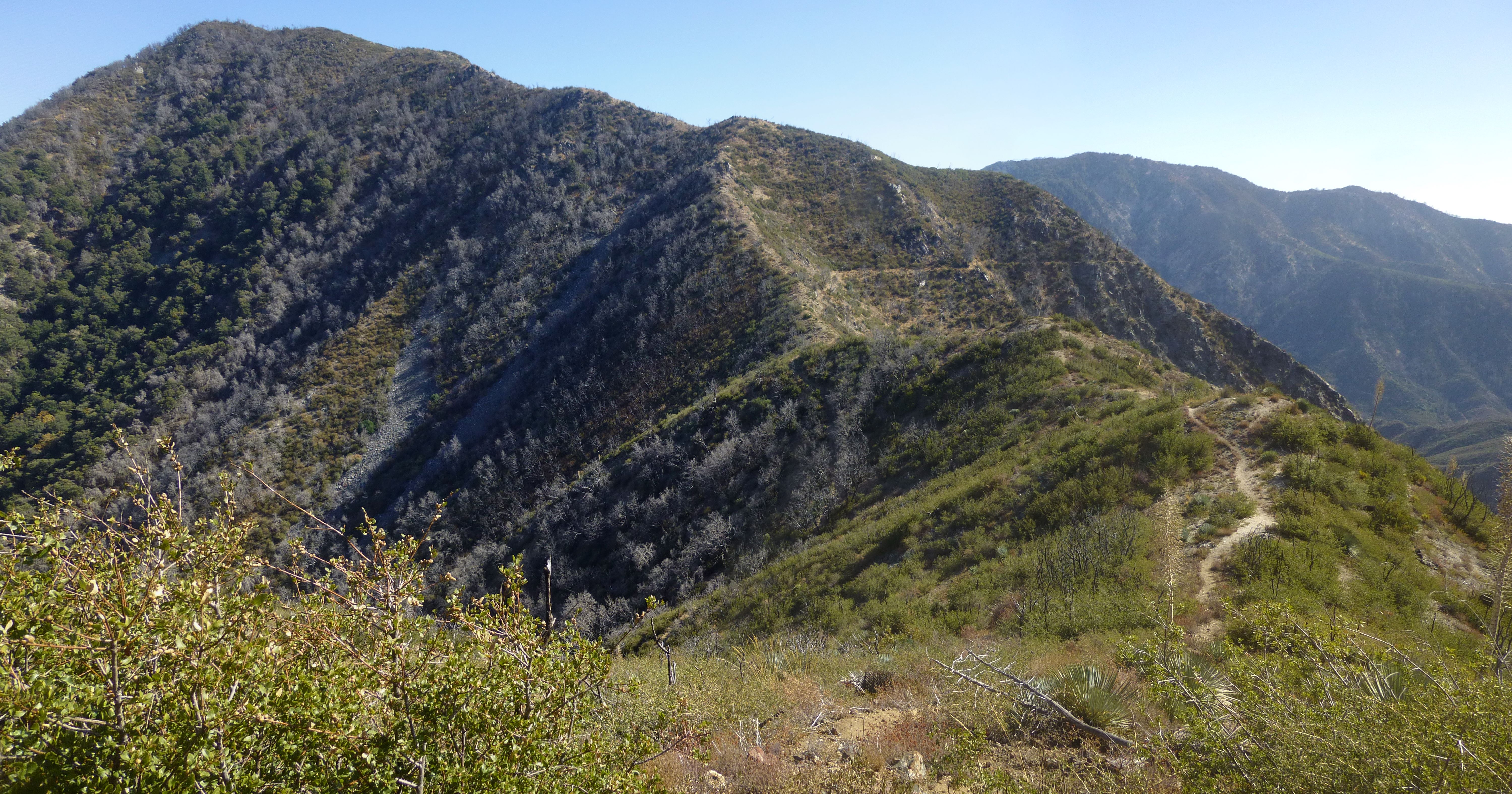
This route is less defined than Strawberry, but still decent for experienced hikers. The Class 2 bits are slightly more challenging. I had to use my hands a couple times.
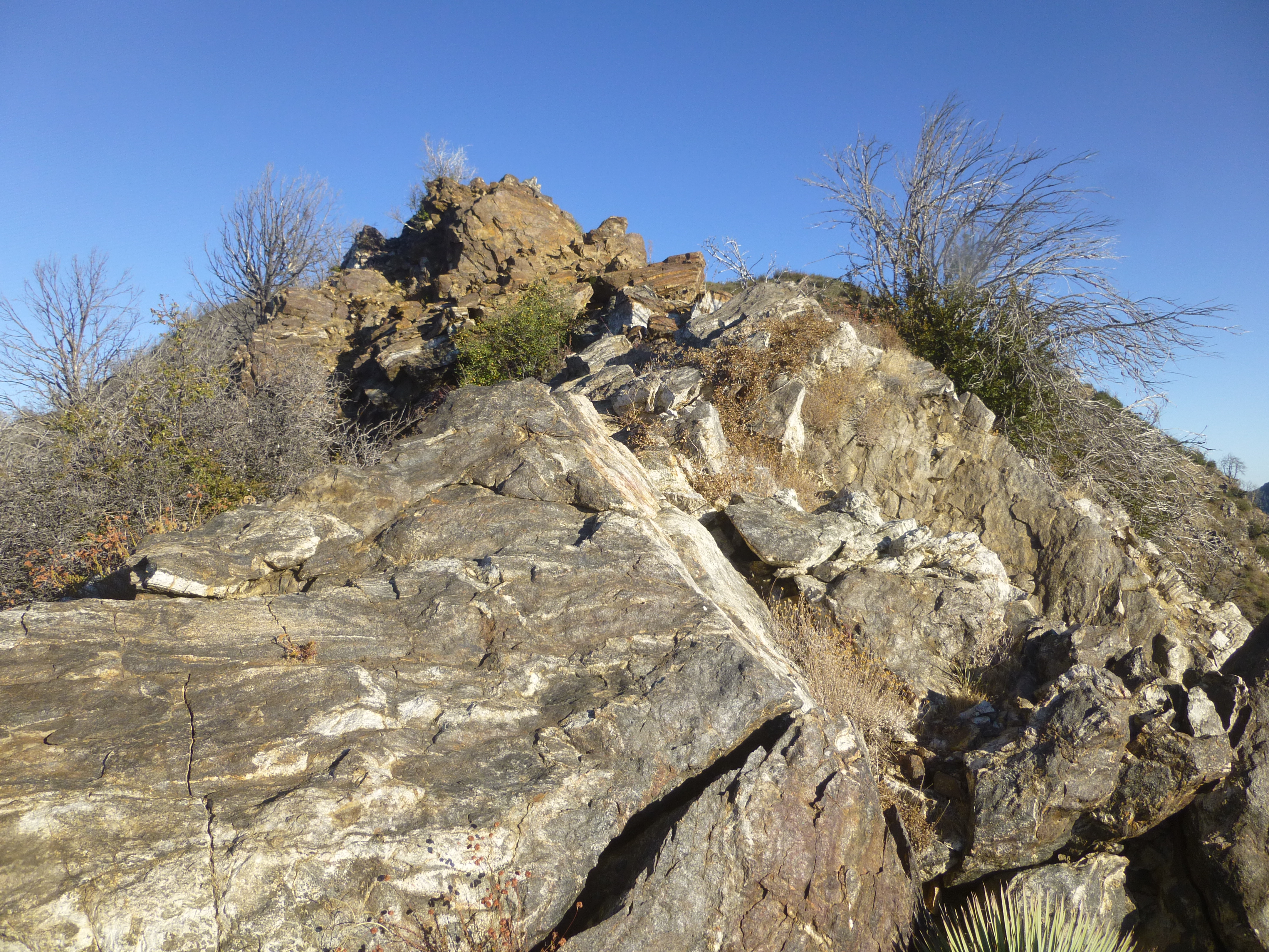
And a few sections of poodle dog require some rerouting and flexibility to avoid completely.

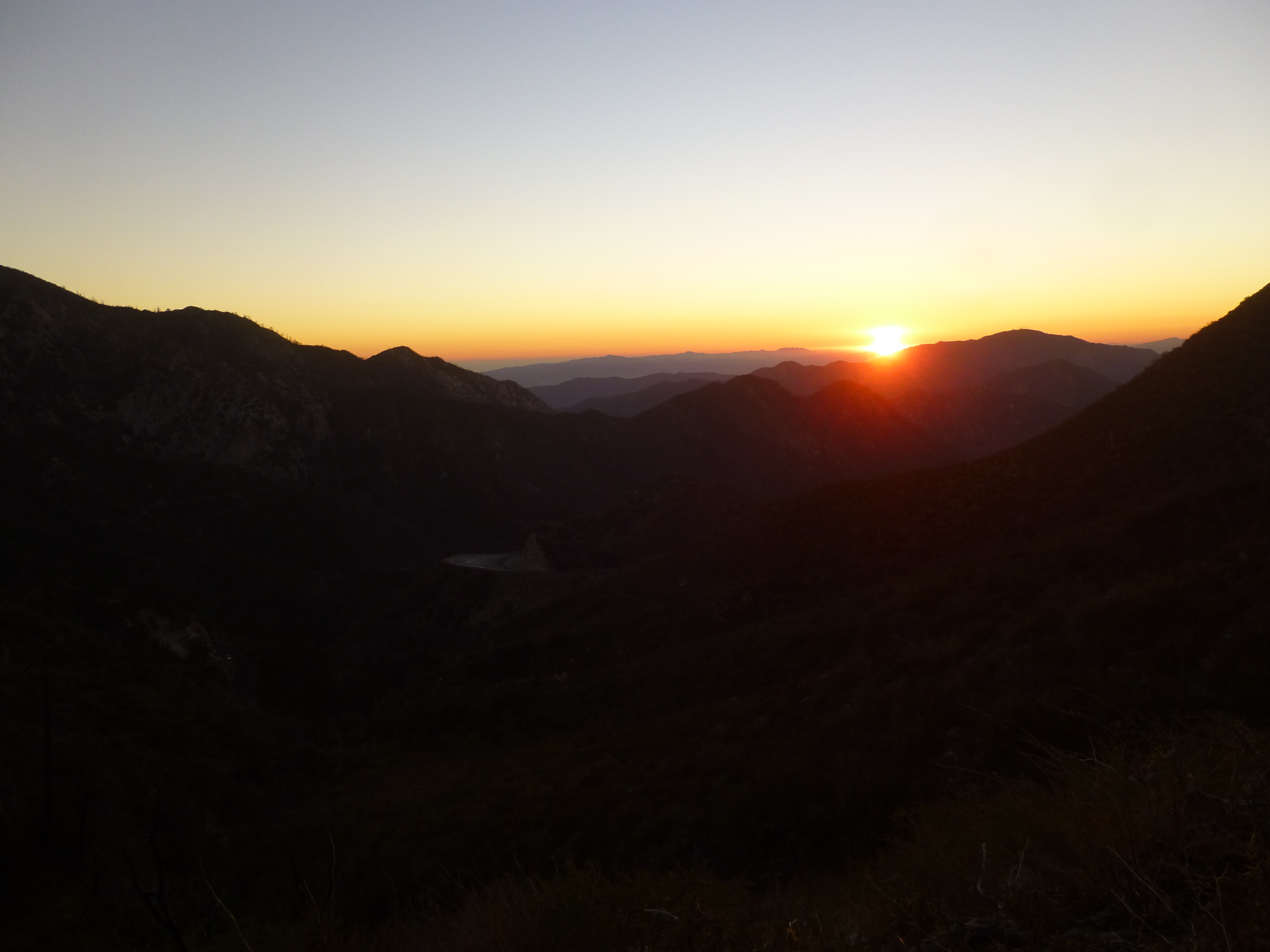
By the time I reached the summit of Lawlor, it was an hour before sunset, and I had no flashlight.

So I promptly turned around and started the descent.

The trail is in fine shape, clearly being worked and utilized, and in better condition than many neglected trails that remain open. There are a few minor landslides and washouts that narrow the track down to a couple feet wide in spots with potentially dangerous falls if you unceremoniously stumble at the worst possible time.
To the Lawlor/Strawberry Saddle it's all Class 1 with a bit of poodle dog next to the trail. If you're not observant, you might lightly brush it in a couple spots, particularly during the contour around Lawlor's west flank, as Strawberry comes into view.
At the saddle the main trail continues downhill, this time contouring around Strawberry. Instead I hopped on the less manicured ridge route up to the peak, which started immediately to the left of the main path.
The ridge rollercoasters once or twice before granting some easy Class 2 climbing over a few boulders.
It was steep and sandy at times. Rocky and overgrown at others. But the trail was nearly always obvious. One spot had some poodle dog that required a tiny detour to avoid. After a couple false summits I was standing on Strawberry Peak for the first time.

To the west was Josephine Peak and Colby Canyon.

To the south was Wilson and company.
The other directions looked pretty cool too.

Back at the saddle I headed up the other side of the ridge to tag Lawlor.

This route is less defined than Strawberry, but still decent for experienced hikers. The Class 2 bits are slightly more challenging. I had to use my hands a couple times.
And a few sections of poodle dog require some rerouting and flexibility to avoid completely.
By the time I reached the summit of Lawlor, it was an hour before sunset, and I had no flashlight.
So I promptly turned around and started the descent.
