
My wife and I spent two nights and three days in the Mount Baldy Area in late July 2013. Our goal was to become acclimated to high elevation preparatory to our trip (two days later) to northern Yosemite. Climbing a ten thousand foot mountain and enjoying the beauty of the Angeles National Forest were added perks.
However, let me admit right now that climbing Mount Baldy was NOT our first choice. Our original plan was to spend two nights at ten thousand feet in the San Jacinto Wilderness, but the Mountain Fire was burning full blast in that area and the park rangers had called to let us know that the park was closed and our permit was cancelled. Bummer! Some quick thinking led us to consider the Mount Baldy area: First, , we'd never climbed Baldy before, which was a serious omission as it was one of the major peaks in Southern California. And second, we'd be able to get at least partially acclimated by camping above eight thousand feet. It wasn't as good as sleeping at 10k, but it would have to do.
Yes, it's true: We were Baldy Virgins. And, like many happily de-flowered virgins, the only thing we can say (afterward) is "Why did we wait so long? It was great!"
Anyway, the plan required the presence of water near our camp, as we were staying two nights. And my wife didn't want an insane uphill death march. So that pretty much narrowed things down to the Ski Hut Trail. Short and steep. Two miles and two thousand feet. Start early and get there while it was still cool outside. We'd day-hike to the summit on the second day, and hike back to the car on the third day. Piece of cake. And it was! Or at least it should have been.
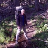
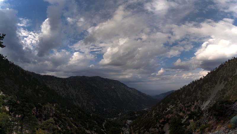
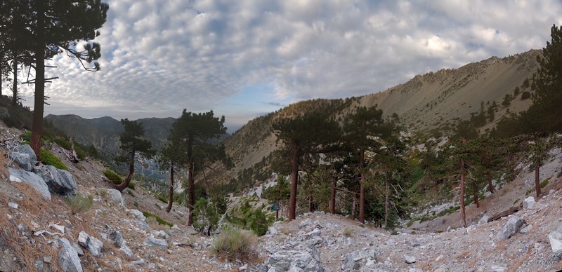
So, we left San Diego on a Friday morning at 3AM and arrived at Manker Flat just before dawn. We got ourselves ready and were hiking by 6AM. It was looking to be one of those hot, humid days, with a chance of rain later on. Monsoonal clouds were high above, but they made the sunrise pretty.
Dawn clouds and the view southwest toward Potato Mountain from Falls Road
It figures! The ONE time I didn't bring any eispiraten stickers with me!
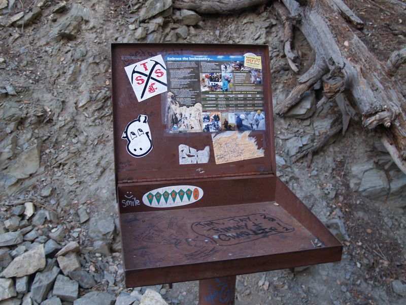
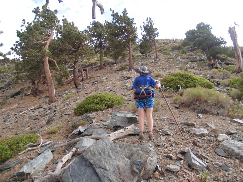
Climbing toward the Bowl. It was nice to be on the shady side of the canyon.
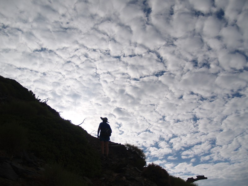
Nice clouds. They make any picture look better.
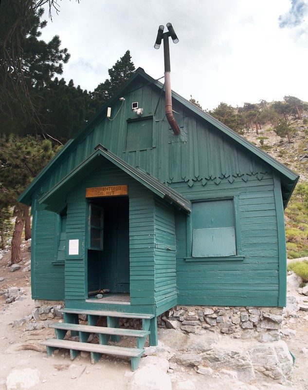
Made it to the Ski Hut by 9:30am, but nobody was home. I wondered if someone was watching me through their webcam.
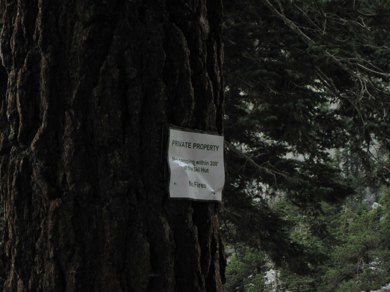
Their web site (and the signs nailed to the trees) said that it was private property, and that we could only camp in the small clearings near the hut, and even then only with permission, and we also couldn't even use our camp stove. I figured that this meant that we'd have to cook inside on their wood stove, which was OK with us, but the main problem with all of these rules was that there wasn't anybody around to give us permission! This, in retrospect, was the critical flaw in my plan. Yes, folks, that's what happens when you arrive on a Friday morning!
So we altered the plan. We wanted to be near the hut and its water supply, but not near enough to run afoul of the rules. What we wanted was the freedom of the forest. So we searched for a decent campsite more than 200 feet away. And we found it, one of the few flat spots on the insanely steep ridge directly behind the hut. And, yes, it was a little more than 200 feet away, but it was 200 feet straight up! (The true distance from the hut, measured by gps, was a bit less than 500 feet along the ground.)
There were no "Private Property" signs up there.
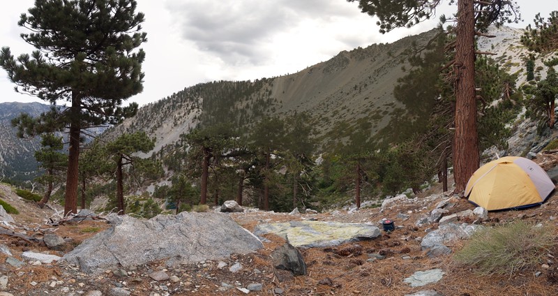
Panorama shot of our tent and campsite on the ridge above the Ski Hut. You can see the hut down below, left of center. The large flat rock in the middle was our "hang out" spot, and our kitchen. (Yes, we used our own stove.)
What did we do for the rest of the day? We hung around and "acclimated" by reading books, filtering some water from the creek, eating lunch and dinner, and peering down on all the hikers below us on the trail. Eventually, some people came and opened up the Ski Hut, but it was too much work to hike back down there again, so we simply ignored them. If they didn't like us camping here, they could climb on up and tell us about it. But I don't think they saw us. We kept a fairly low profile, just in case.

HDR shot of sunset light on Ontario Peak from our campsite.
We were nice, quiet neighbors, but the folks in the Ski Hut certainly weren't. True, we go to sleep early, but we were woken up multiple times that evening (the last time being close to midnight) by wolf howls echoing out all around the Baldy Bowl. I suspect that the "wolf" had had a few too many. But I will admit that the echoes sounded pretty cool, bouncing back and forth from the walls of the bowl. And we got back to sleep soon enough, so no harm done. Besides, how many folks can say that they've heard the wolves howling at night on Mount Baldy?
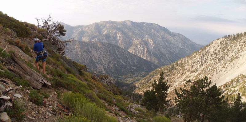
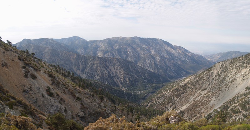
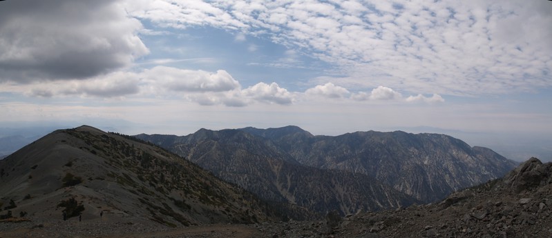
Saturday morning: Panorama view of San Antonio Canyon and the Baldy Bowl from the ridge above the Ski Hut
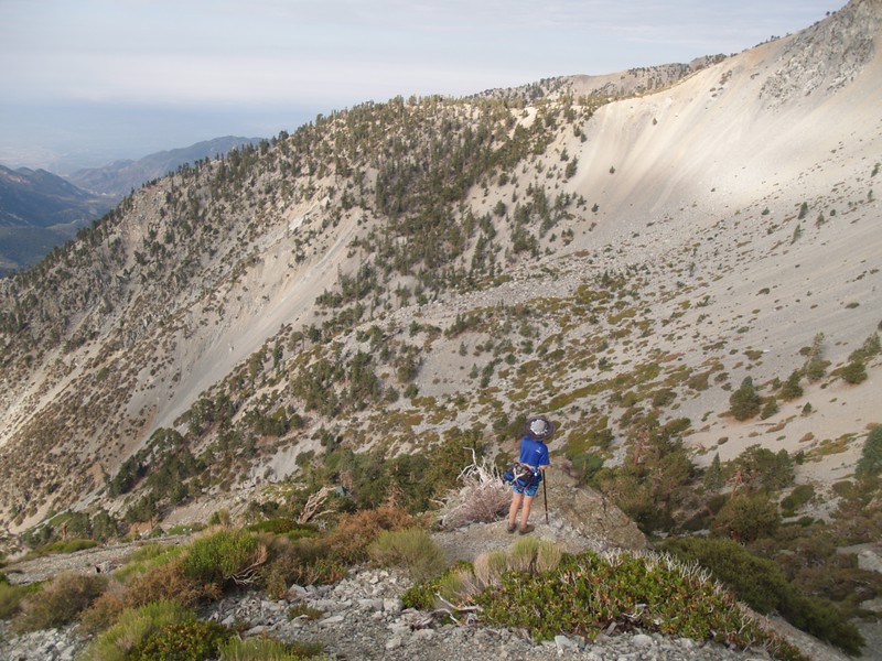
We may have been Baldy Virgins, but we weren't wimps. We decided to tackle the peak by climbing off-trail, directly up the steep ridge we were camping on. This served several purposes: It saved us descending to the hut only to climb back up again on the other side of the bowl. It saved us from meeting anyone at the hut, in case we were were camped illegally. It made the day a "loop" hike, which is always more satisfying. It allowed us to at least SEE the fabled "Devils Backbone" even if we didn't actually hike along it. It imbued our Baldy de-flowering with an added spice of adventure. And it clearly showed that we were total fools to hike up that insanely steep scree-monster of a ridge. Yes, we were fools, but we weren't wimps!
Looking uphill. We probably should have turned around here, where there was still some solid rock.
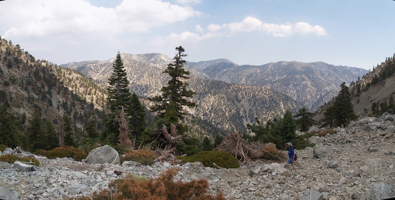
The view across to Ontario Peak. These small bushes were the only things keeping the scree-slope anchored.
The "Rule of Up"
You can see the green roof of the Ski Hut peeking out of the trees far below.
The views kept getting better: Telegraph, Thunder, Cucamonga, Bighorn, and Ontario Peaks.
The slope began to ease as we neared the trail - view toward the saddle between Mt. Baldy and Mt. Harwood.
We were incredibly relieved when we finally made it to the trail. It had taken us two hours to climb one thousand feet in a half mile's distance! Steep!
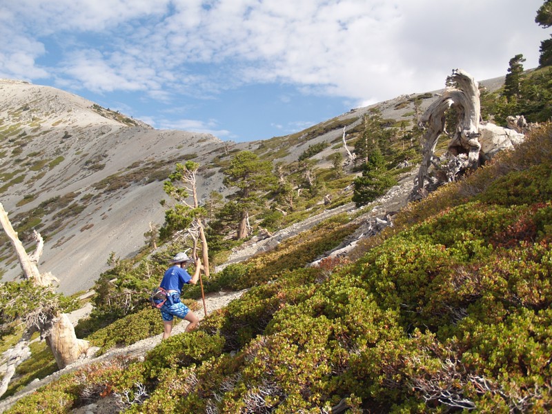
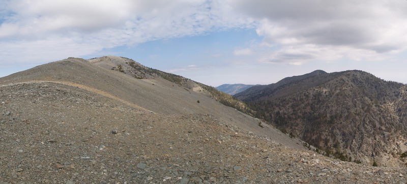
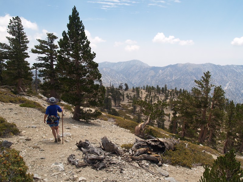
We strolled along the easy section of trail along the side of Mount Harwood, heading away from Baldy, toward the Devils Backbone. When the trail began to descend in earnest, we hung a left and headed up to the southeast ridge of Harwood, where we got the views we'd worked so hard for.
The Devil's Backbone from the side of Mount Harwood.
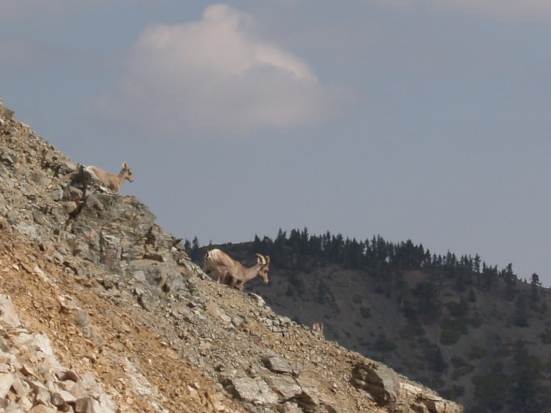
We also got lucky and saw a pair of Bighorn Sheep!
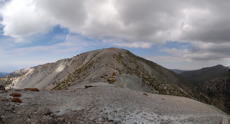
Mount Harwood, Mount Baldy, Pine Mountain, and Dawson Peak from the southeast ridge of Mt. Harwood. That's the Blue Ridge in the distance.
Baldy from the west ridge of Harwood
Shadows on Mt. Baldy and the Bowl
Mount Harwood, Telegraph, Thunder, Cucamonga, Bighorn, and Ontario Peaks from the east side of Mt. Baldy
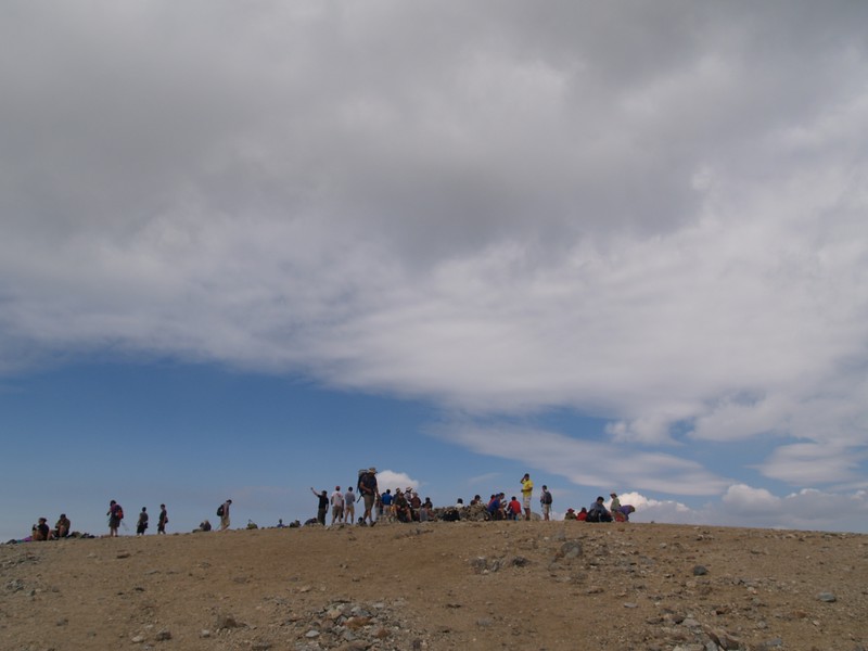
A huge Saturday crowd of people on the summit of Mt. Baldy.
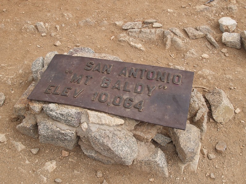
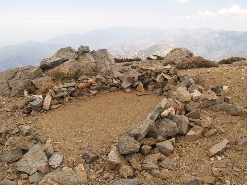
The obligatory shot of the Summit Marker on Mt. Baldy.
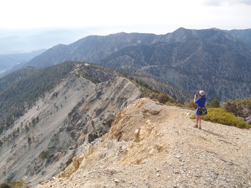
We were Baldy Virgins no longer! But we didn't stay on the summit for long - the crowds were a bit much. So we headed over to West Baldy for lunch and a quiet celebration.
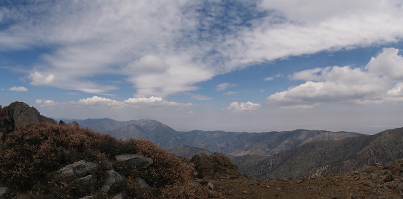
Panorama view of Mount Baden-Powell, the Blue Ridge, and Pine Mountain Ridge from the summit of West Baldy
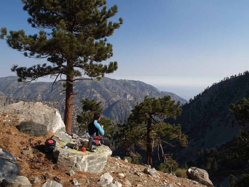
We ate lunch and took a nap in the rocky wind shelter on the west side of West Baldy.
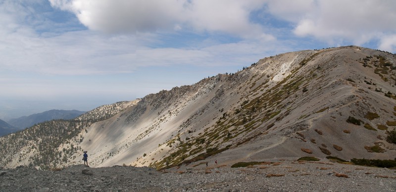
Easy cross-country hiking from West Baldy heading toward the Ski Hut Trail where it passes above the bowl.
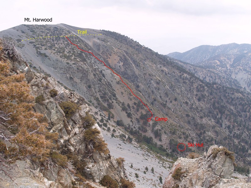
Annotated photo from above the Baldy Bowl showing the Ski Hut, our campsite, and our route up to Mount Harwood.
View south from the Ski Hut Trail where it crosses below the Baldy Bowl.
This time (since we were already there) we decided to visit the Ski Hut and scope it out. It turned out that the hut was full of folks having a birthday party for Dan (the host with the most). They invited us inside and we checked the place out. What a nice place it was, and it must be wonderful staying there in the winter. We filled up our water bladders from the ever-running sink, and we watched Dan lighting the old wooden stove. We thanked them for letting us visit, then headed back up to camp.
As it turned out, we never mentioned to anyone that we were neighbors, and we never did find out if Dan turned into a werewolf at night.
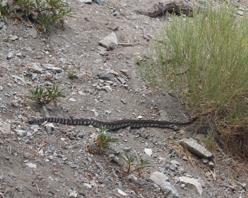
Rattlesnake trying to avoid all the humans staring at it just behind the San Antonio Ski Hut
Relaxing in camp after a long day's hike. We were Baldy Virgins no longer!

The first smoke of the breakfast fire rises from the Ski Hut as we hike out early Sunday morning.
Looking back up at the Baldy Bowl from Falls Road.
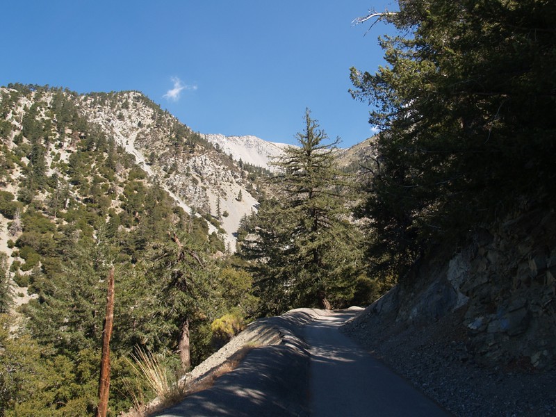
We made it back to the car in no time flat. Nice downhill hiking in the shade. But we really didn't want to end our weekend so soon, so we drove on up to the Mt. Baldy Ski Lift. We took the lift to the lodge, then hiked the dirt road up from the notch to bag Thunder. We'd only done two of the three T's on previous hikes, so this was our big chance to fill in that gap. It was hot in the sun, but it was a good hike, and we met hardly anyone up there. There were great views to the north of Baldy and the bowl. Then we hiked back down to the lodge and had a Baldy Burger. Ah, yes! It really hit the spot! We took the lift down to the car, then drove on home.
It had been a really nice weekend. Baldy was a fun mountain, and it was no surprise that people loved to hike it. Sometimes those last minute plans actually work, and work well! With any luck, we'd still have a small bit of acclimation left in our blood when we arrived in Tuolumne Meadows two days later. Thanks, Baldy!
Lots more pics on my Flickr Page


