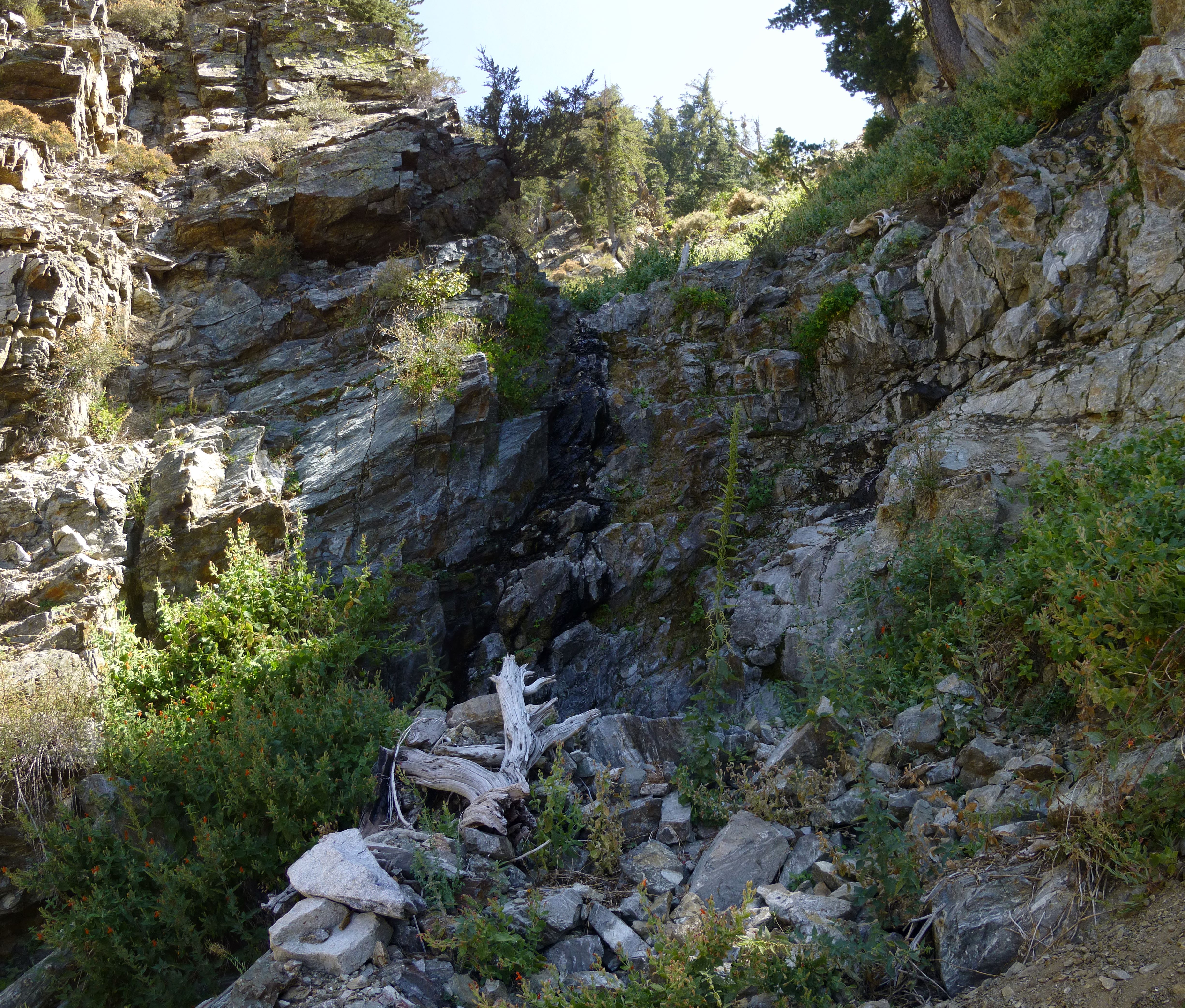
What I Found in Lost Creek Canyon
Posted: Thu Aug 22, 2013 4:11 am
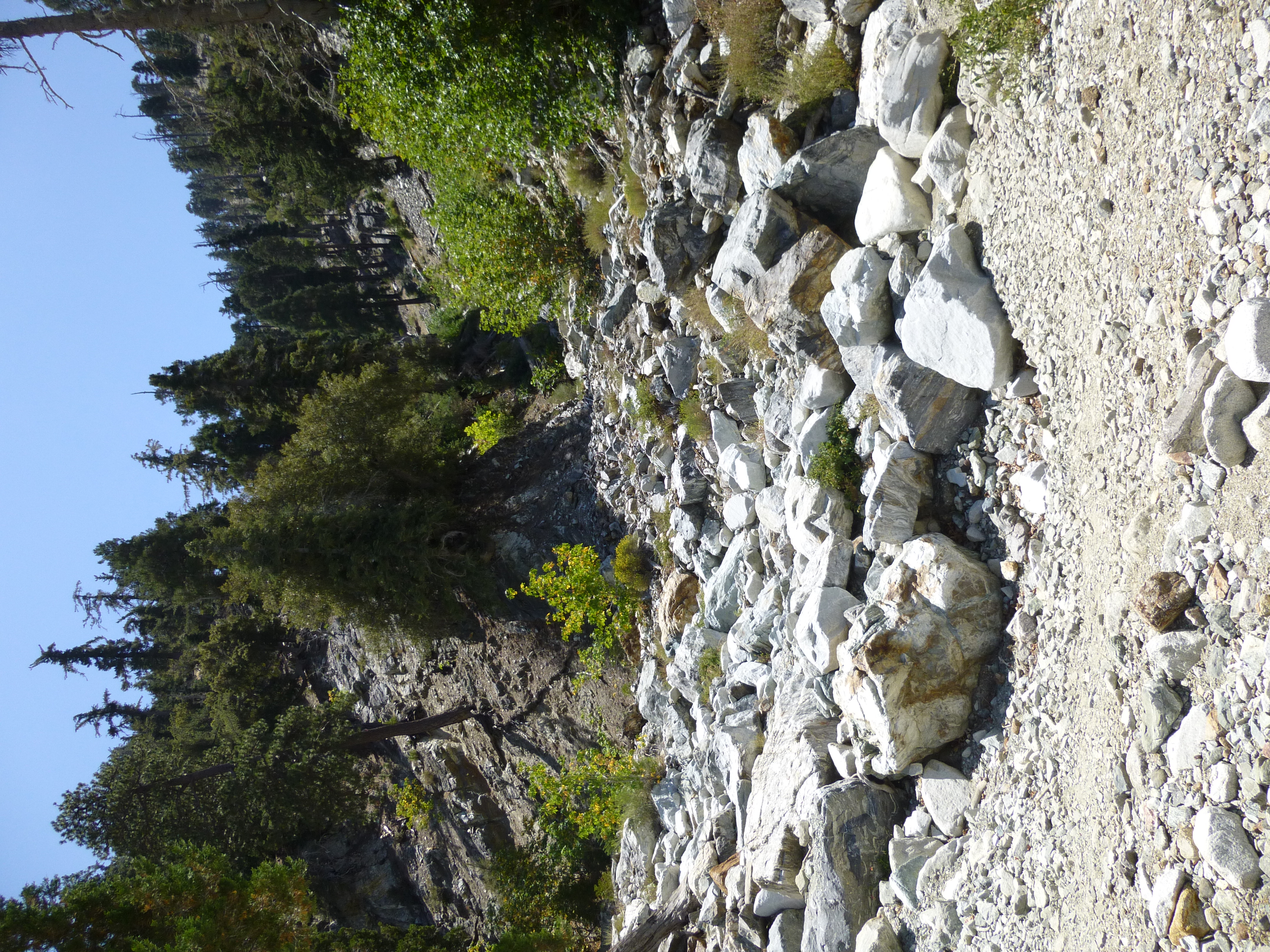
Lost Creek Canyon was easy to find. I headed up the Icehouse Trail for about 1.8 miles and noticed Lost Creek coming in from the right. No stream, but a layer of white rocks led right into the narrow gorge.
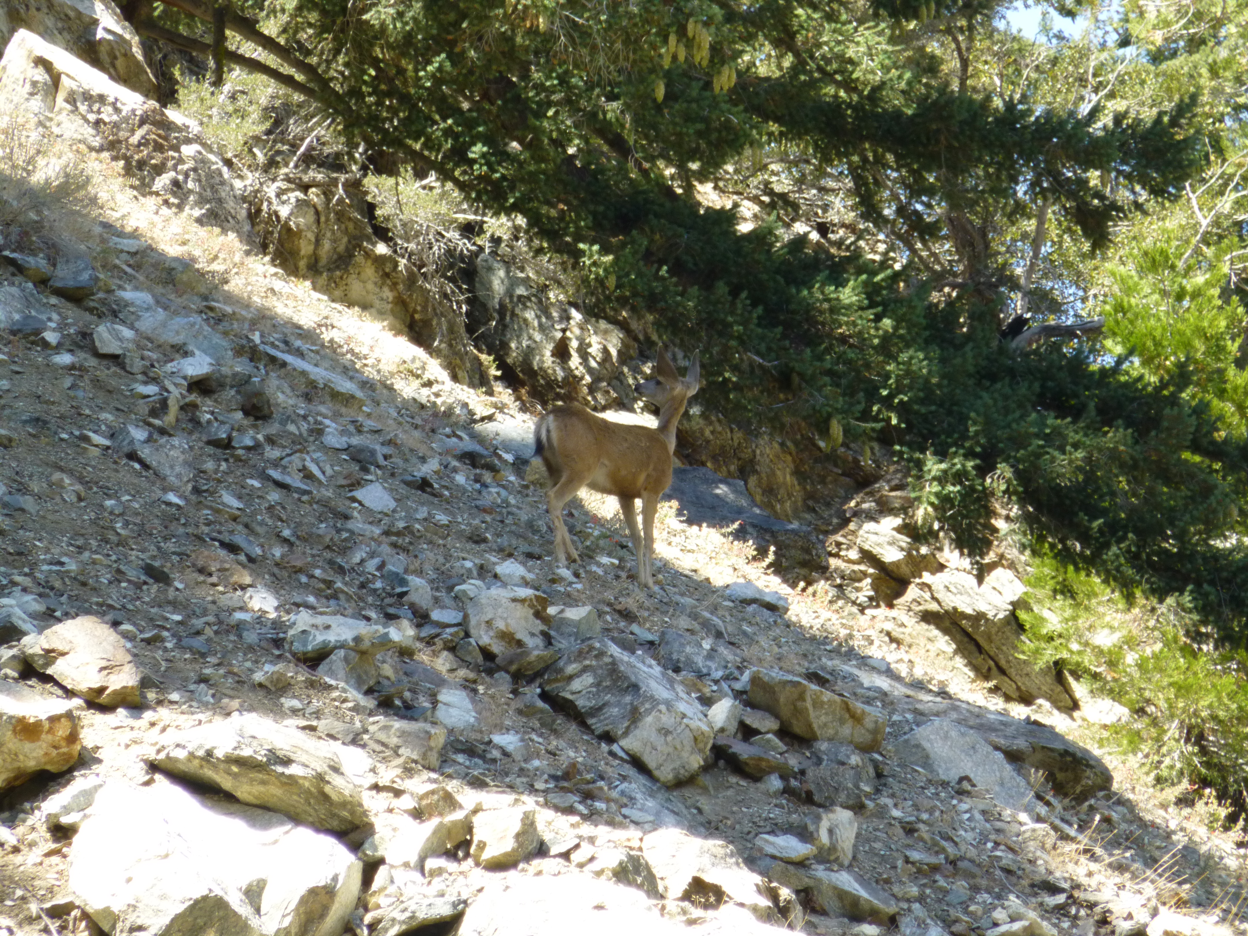
Almost immediately a series of rocks tumbled down the ridge above me. A moment later a deer appeared. It stopped and stared up the ridge, as if expecting company. Then it descended semi-gracefully through the scree.
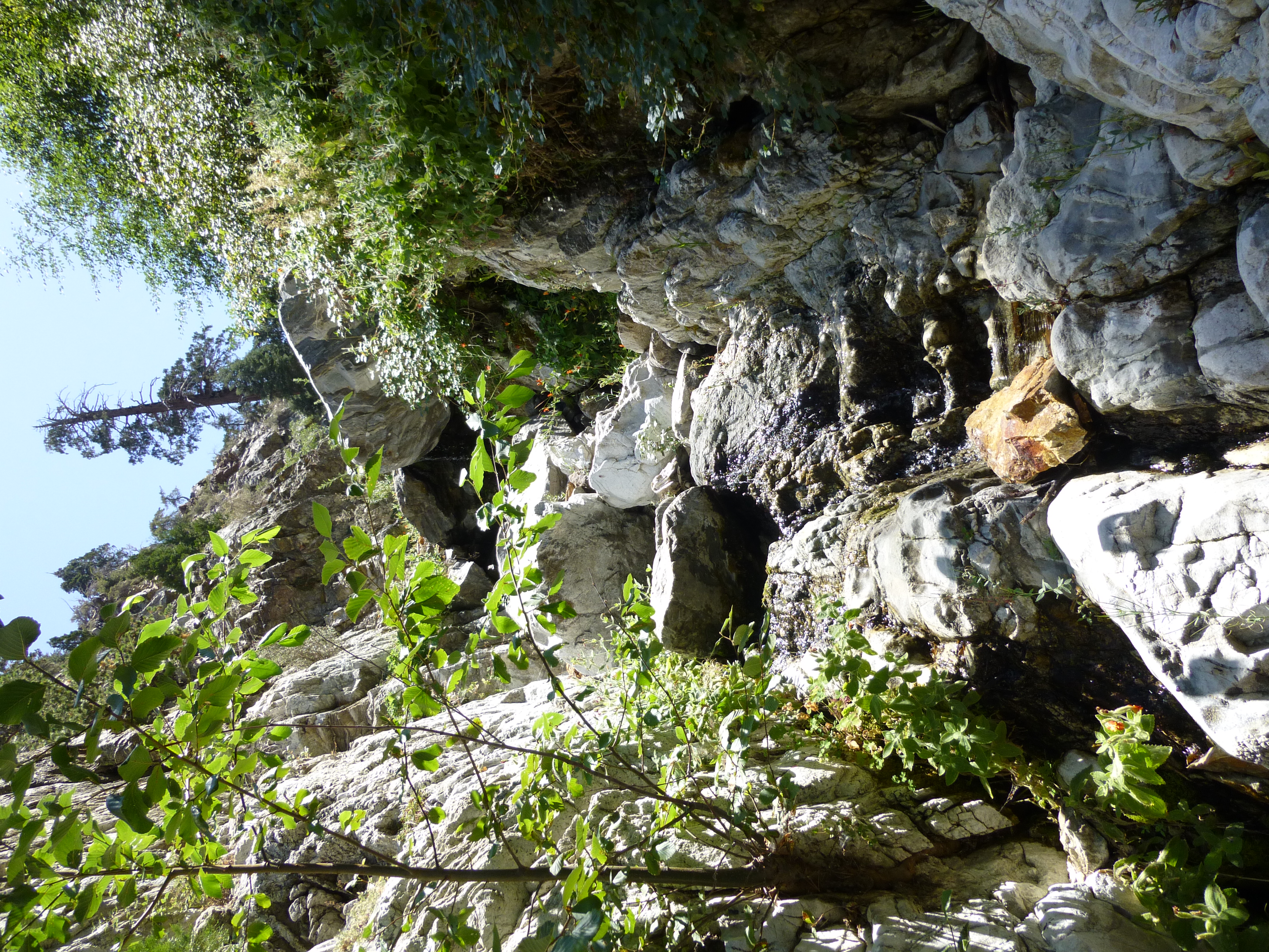
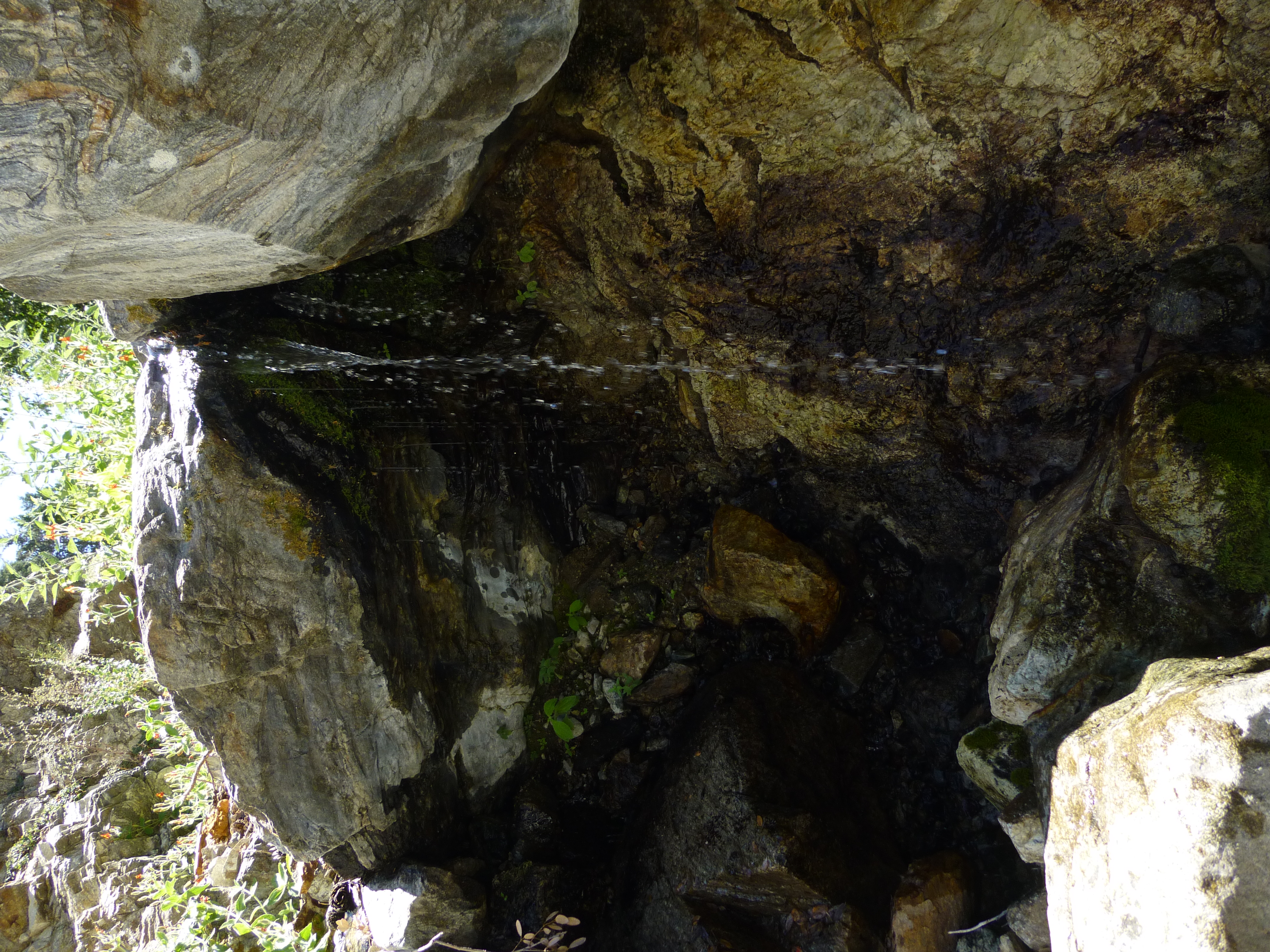
At an elevation of 6,360', a spring issued from the wall. It spurted with approximately the same strength as Columbine Spring and formed a little pool among the rocks. As I ascended higher the creek took shape, and there were a few stretches where it flowed decently and created pretty cascades.
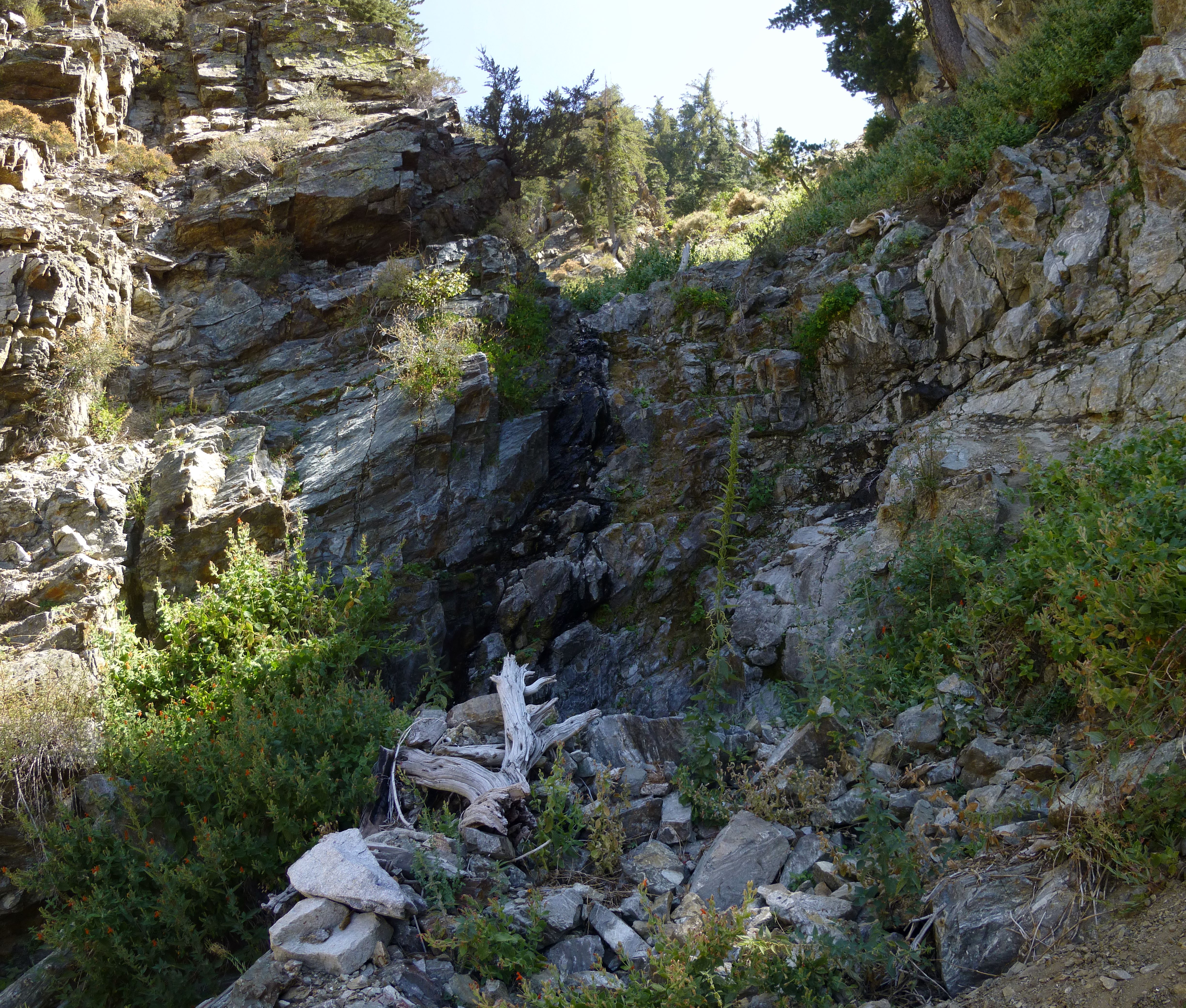
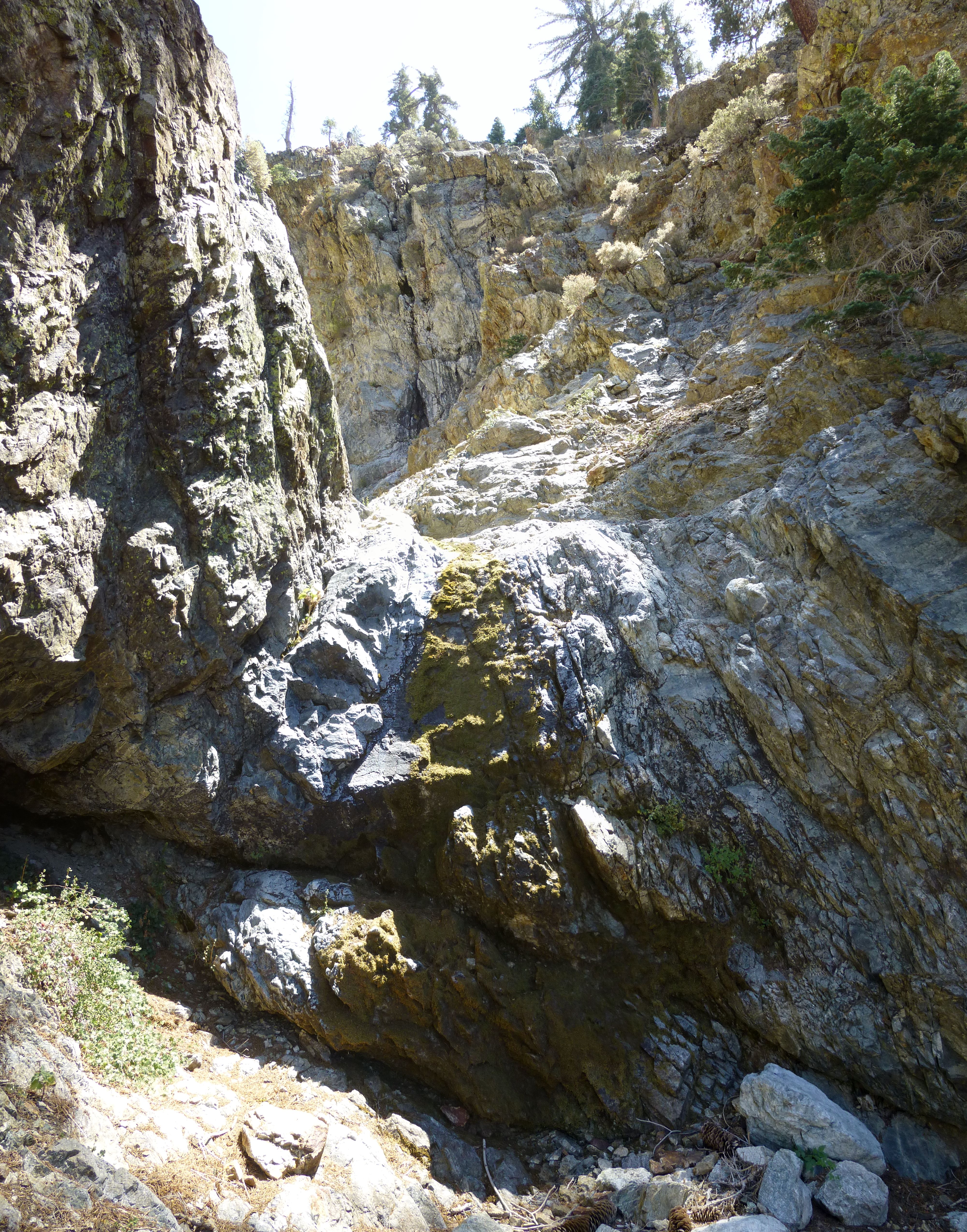
After scrambling through a few plants and trees, next came some rockclimbing walls. Two or three were rather challenging and probably unavoidable, perhaps class 3+ with exposure up to 15 feet. The rest could be bypassed using easier class 2 routes.

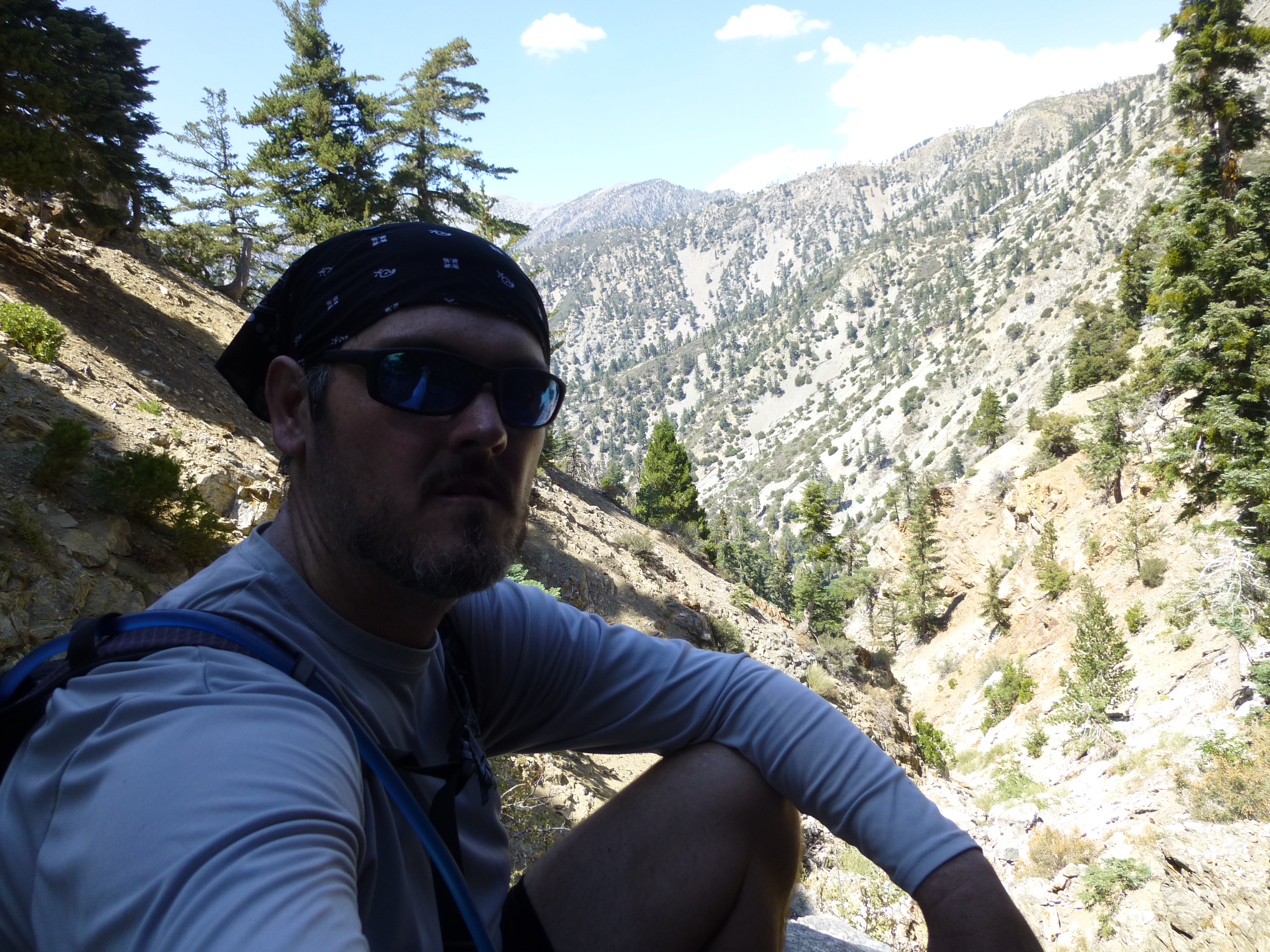
Every so often the tight corridor would open up a window and reveal something in the distance.
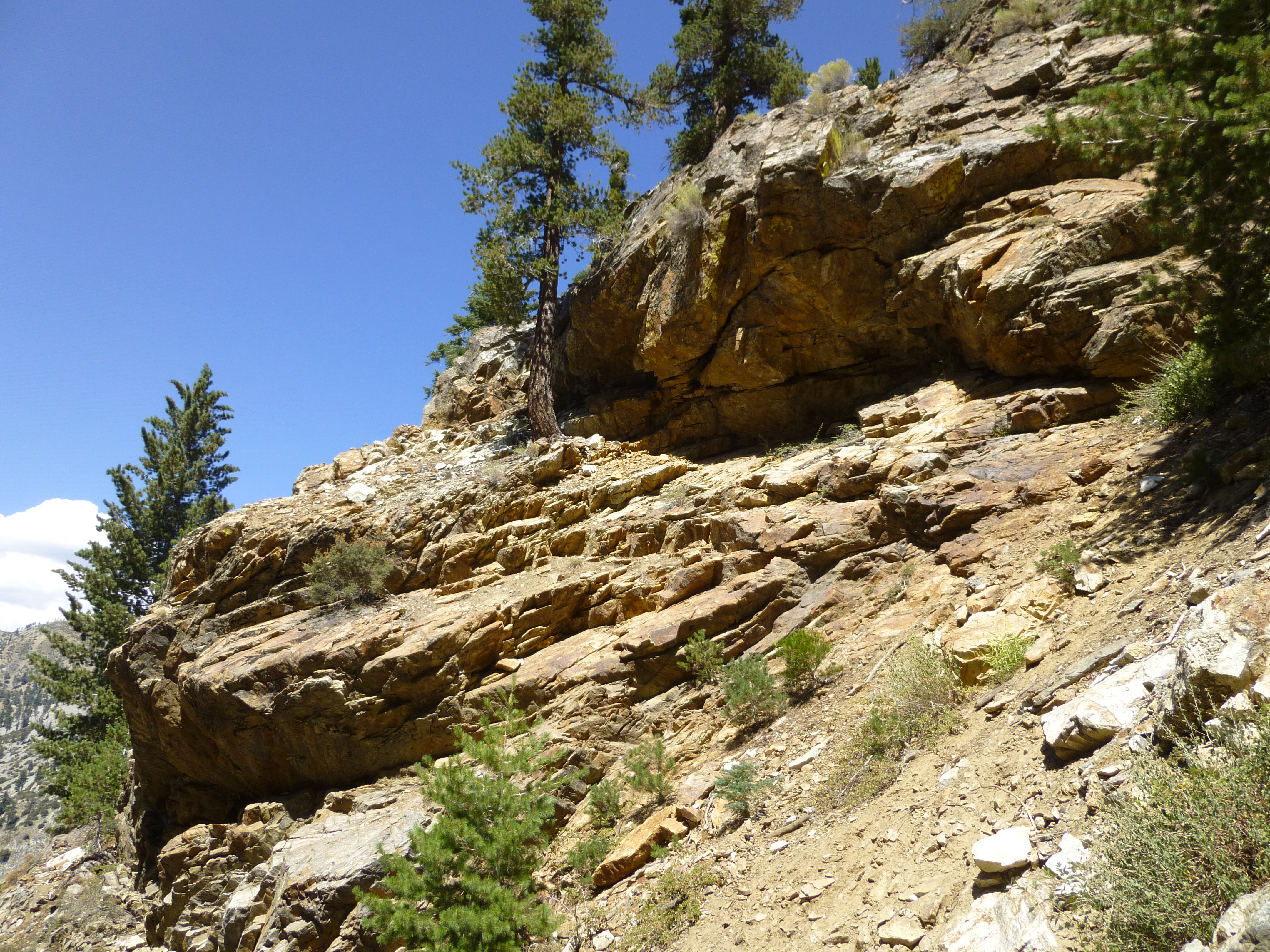
But mostly I spent the day admiring the canyon's rock formations.
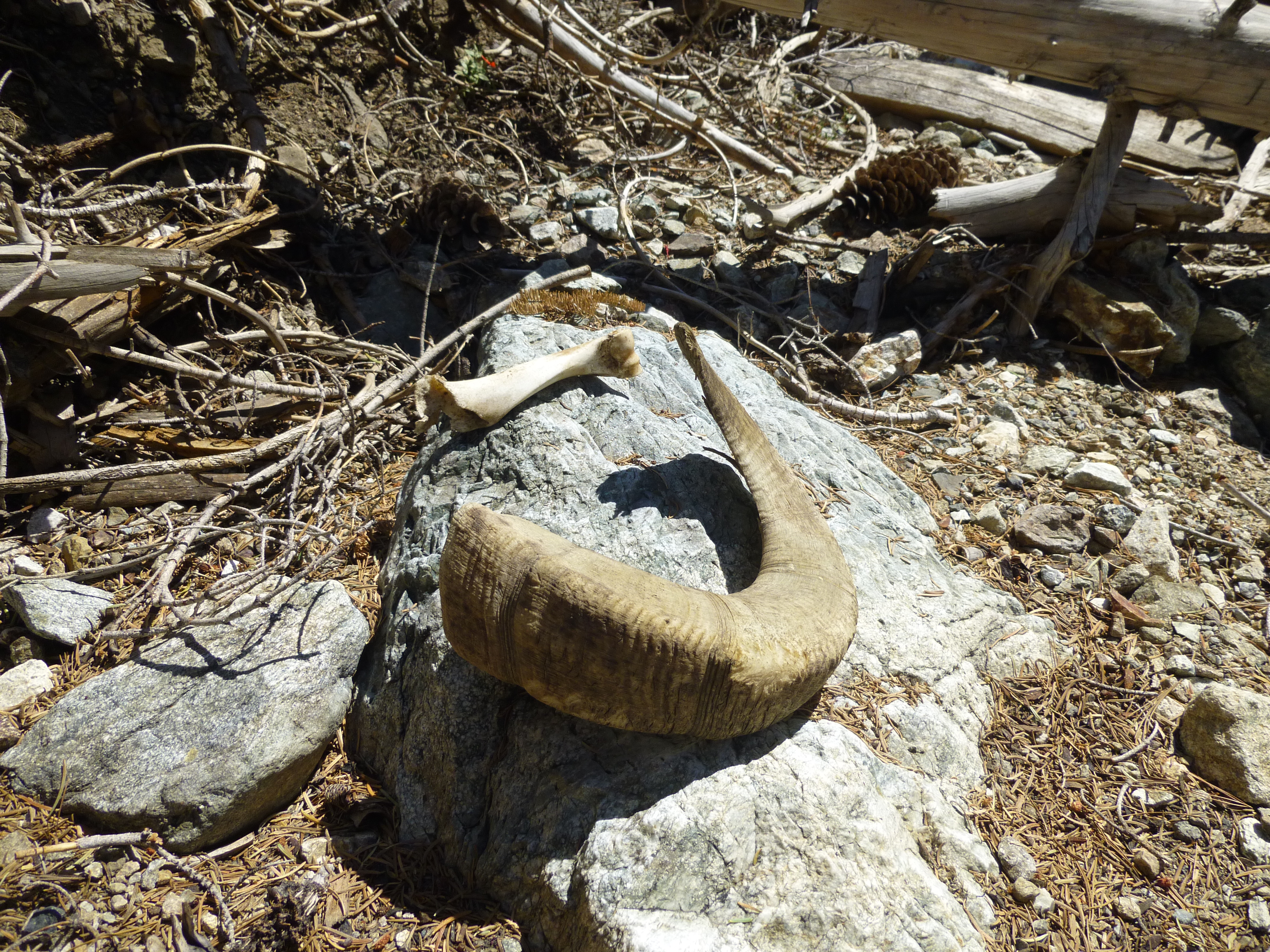
I also found this...

And these...
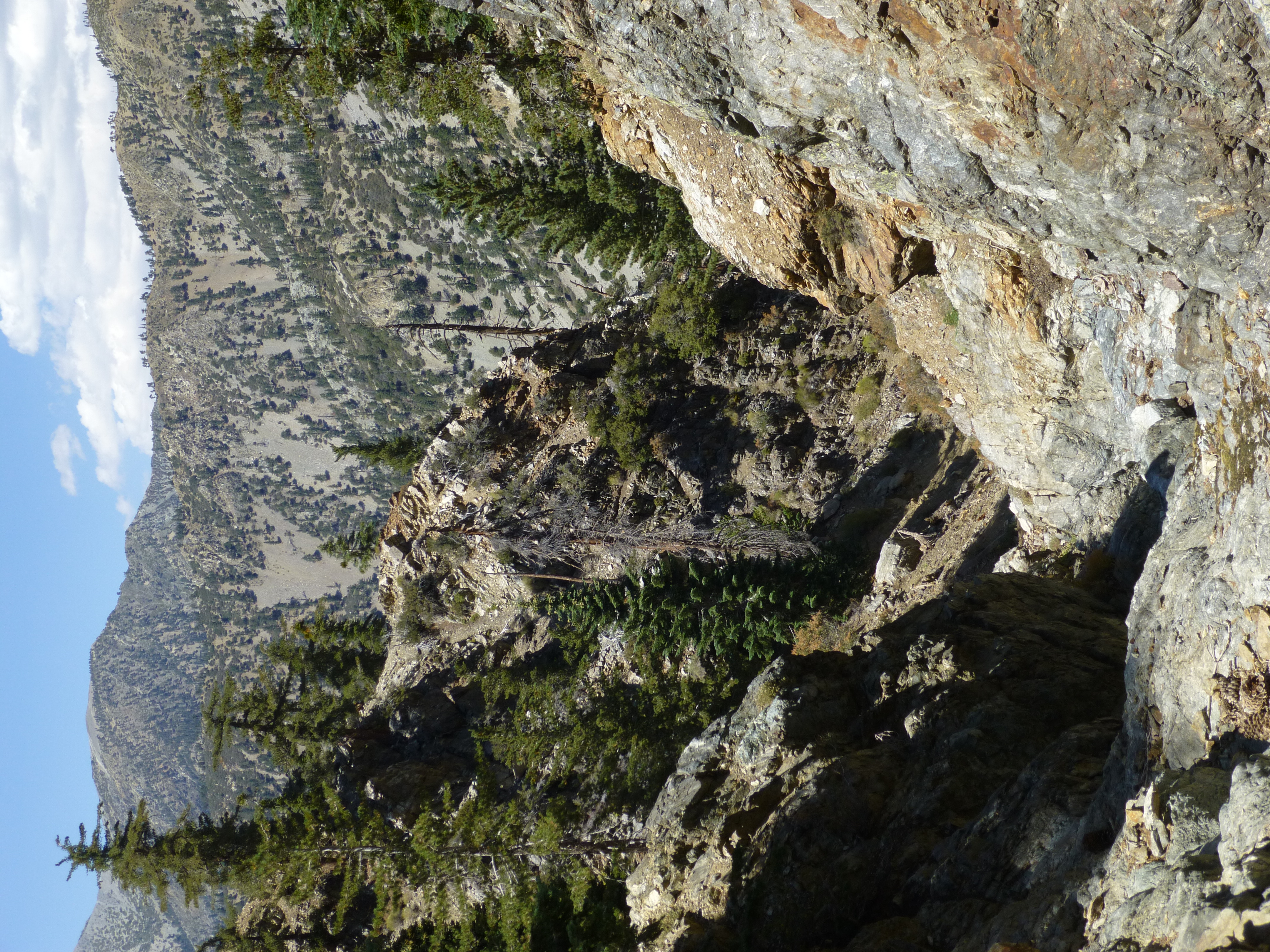
The last water oozed from the earth around 7,460' elevation, immediately below this area, where the canyon begins with a group of feeder gullies.
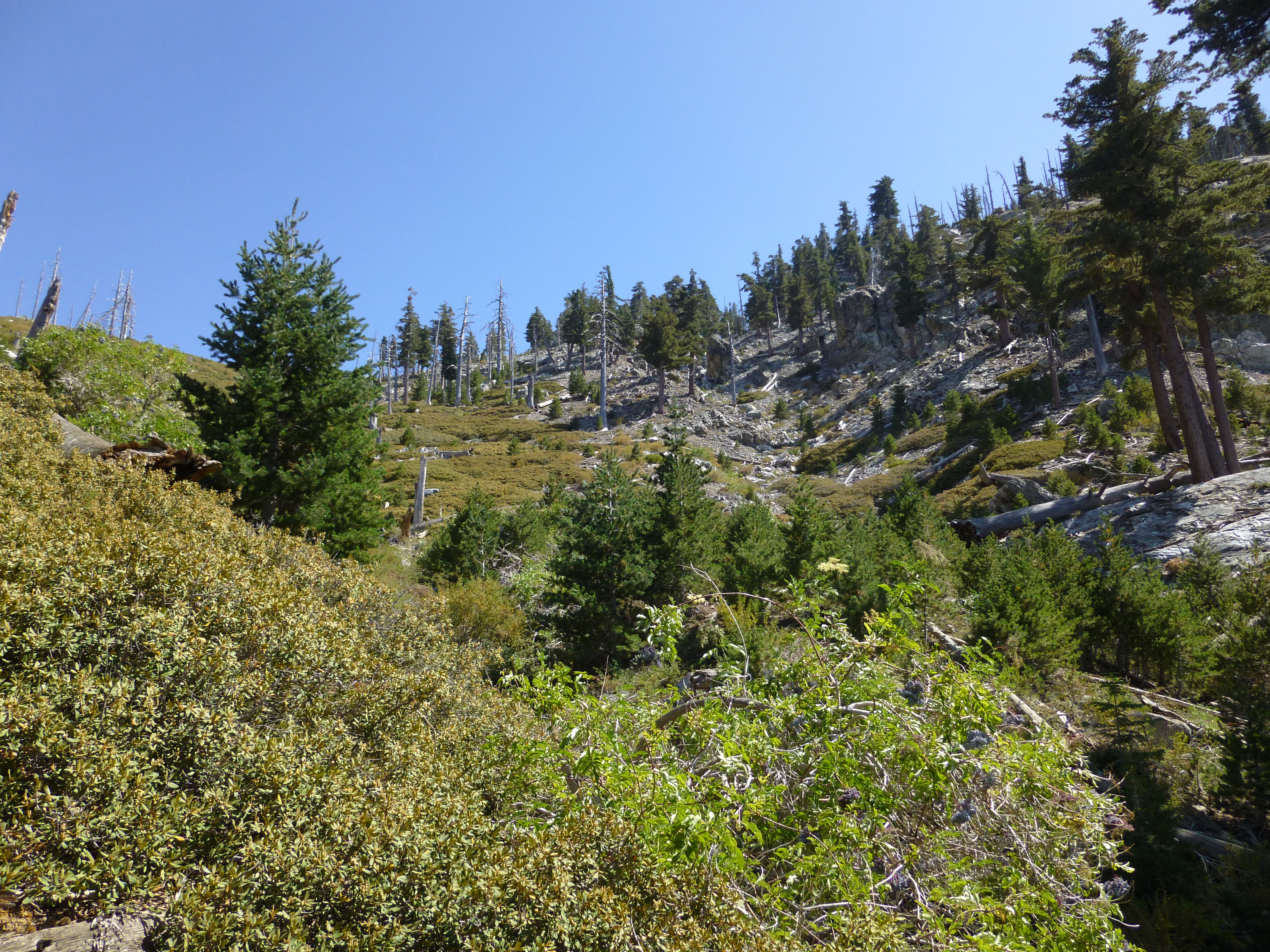
Having previously explored this upper section, I decided to exit Lost Creek and work my way over Shortcut Ridge, up Delker Canyon, to the Ontario Peak Trail and ultimately civilization.
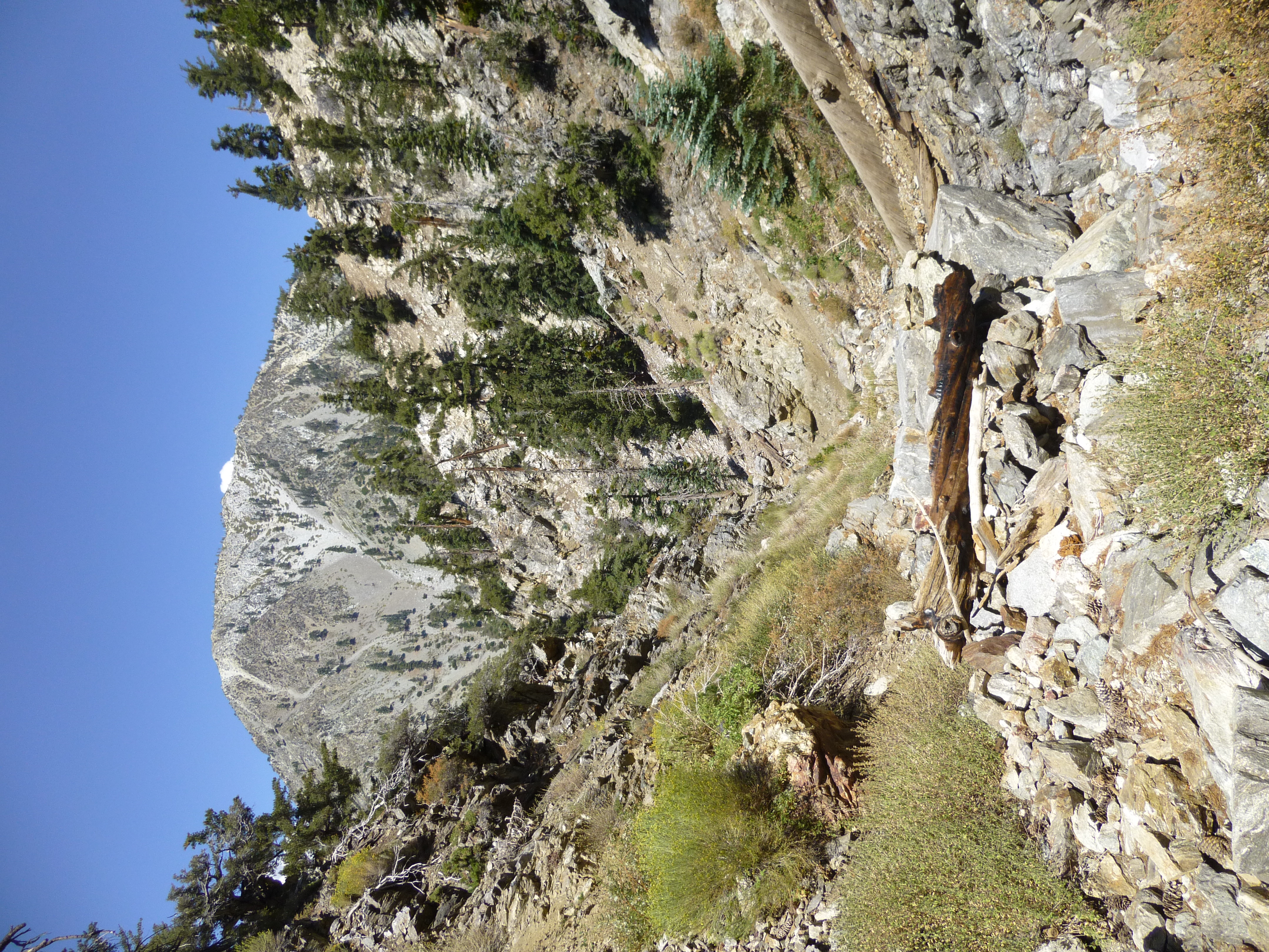
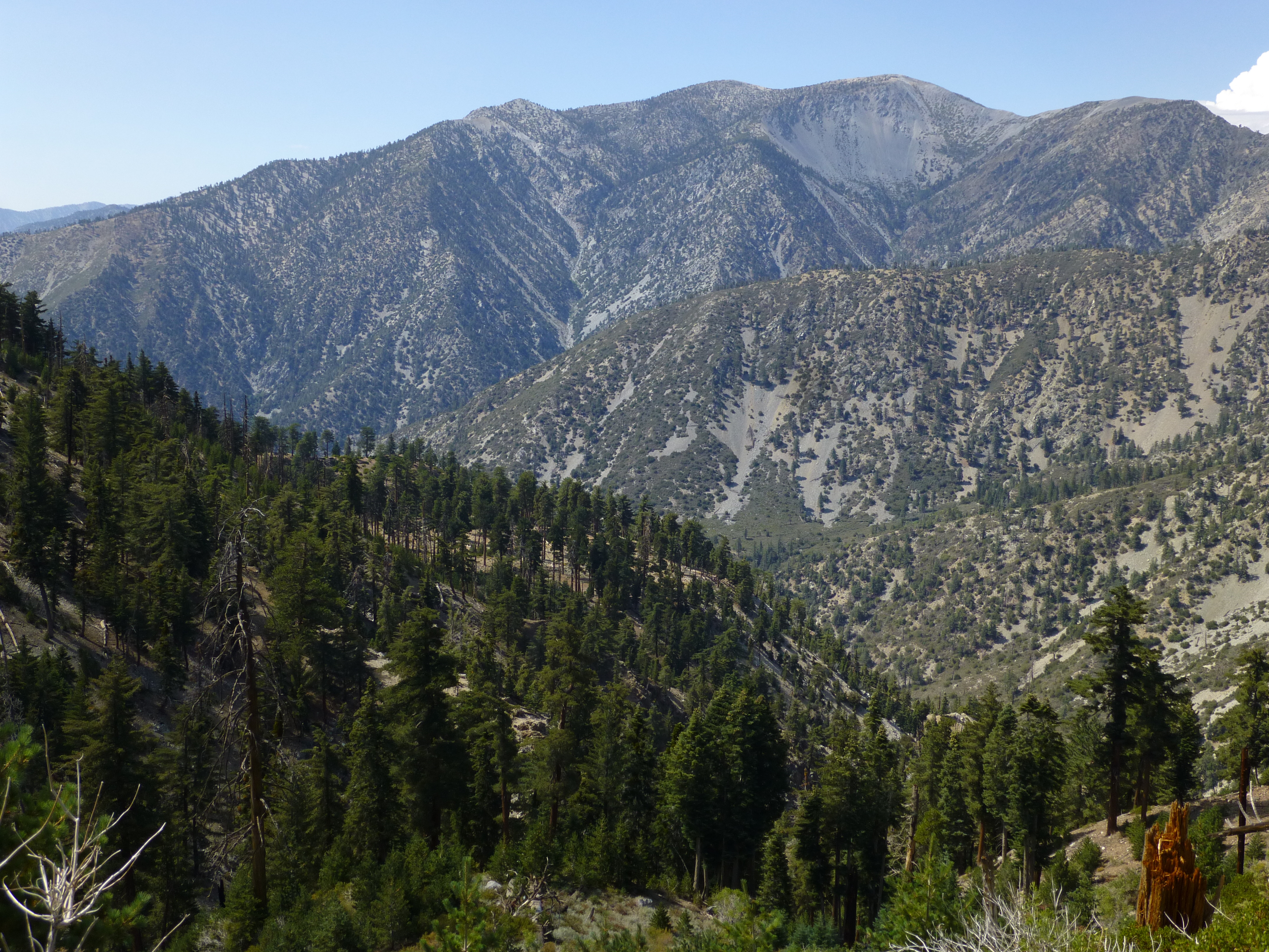
On my way out I scored a nice view of Baldy.
Almost immediately a series of rocks tumbled down the ridge above me. A moment later a deer appeared. It stopped and stared up the ridge, as if expecting company. Then it descended semi-gracefully through the scree.
At an elevation of 6,360', a spring issued from the wall. It spurted with approximately the same strength as Columbine Spring and formed a little pool among the rocks. As I ascended higher the creek took shape, and there were a few stretches where it flowed decently and created pretty cascades.
After scrambling through a few plants and trees, next came some rockclimbing walls. Two or three were rather challenging and probably unavoidable, perhaps class 3+ with exposure up to 15 feet. The rest could be bypassed using easier class 2 routes.


Every so often the tight corridor would open up a window and reveal something in the distance.
But mostly I spent the day admiring the canyon's rock formations.
I also found this...
And these...
The last water oozed from the earth around 7,460' elevation, immediately below this area, where the canyon begins with a group of feeder gullies.
Having previously explored this upper section, I decided to exit Lost Creek and work my way over Shortcut Ridge, up Delker Canyon, to the Ontario Peak Trail and ultimately civilization.
On my way out I scored a nice view of Baldy.

