What I Found in Lost Creek Canyon

TRs for the San Gabriel Mountains.
Post Reply
User avatar
Sean
Cucamonga
Posts: 3782
Joined: Wed Jul 27, 2011 12:32 pm

Post by Sean »

Lost Creek Canyon was easy to find. I headed up the Icehouse Trail for about 1.8 miles and noticed Lost Creek coming in from the right. No stream, but a layer of white rocks led right into the narrow gorge.

Image

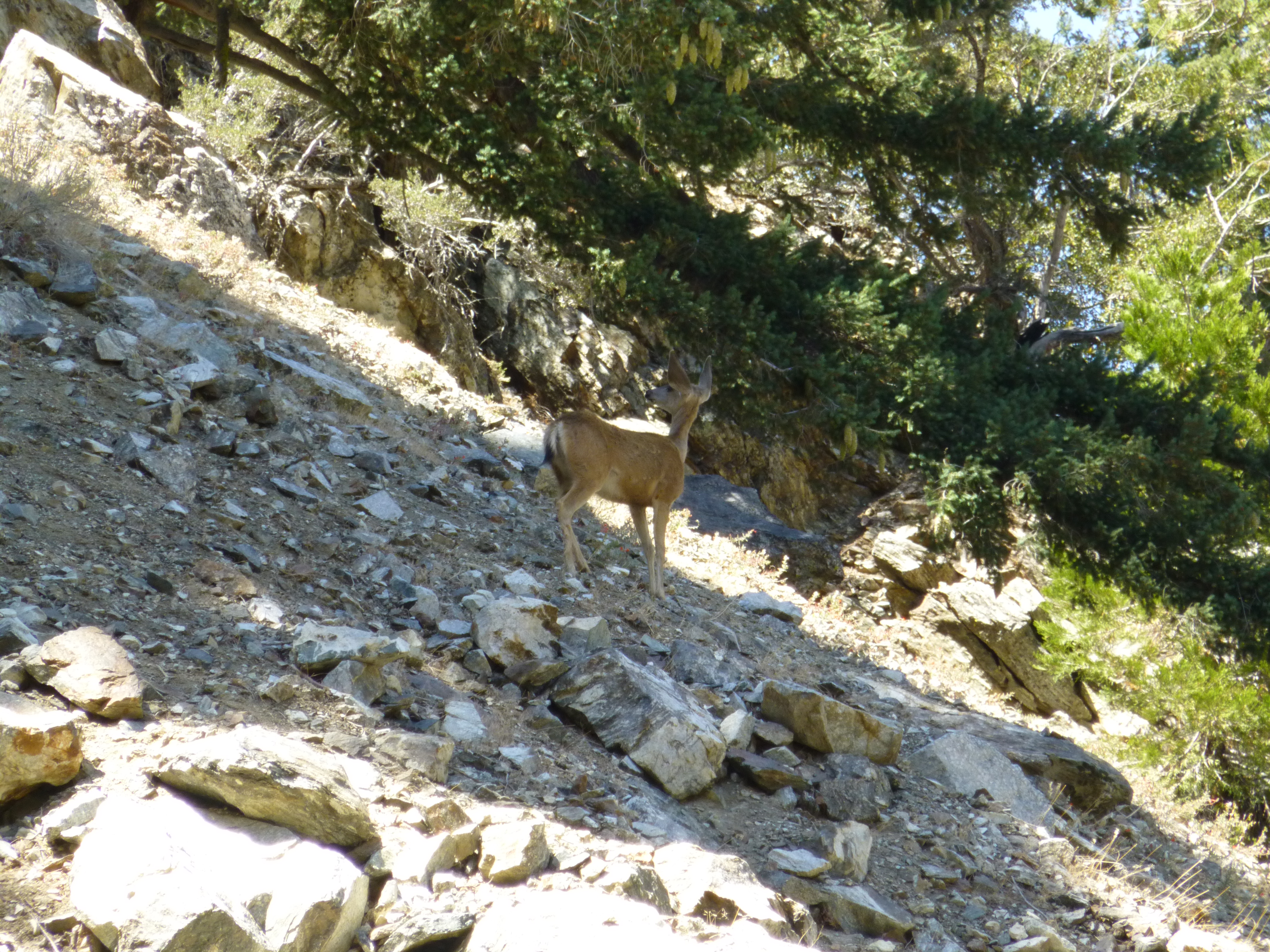
Almost immediately a series of rocks tumbled down the ridge above me. A moment later a deer appeared. It stopped and stared up the ridge, as if expecting company. Then it descended semi-gracefully through the scree.

Image

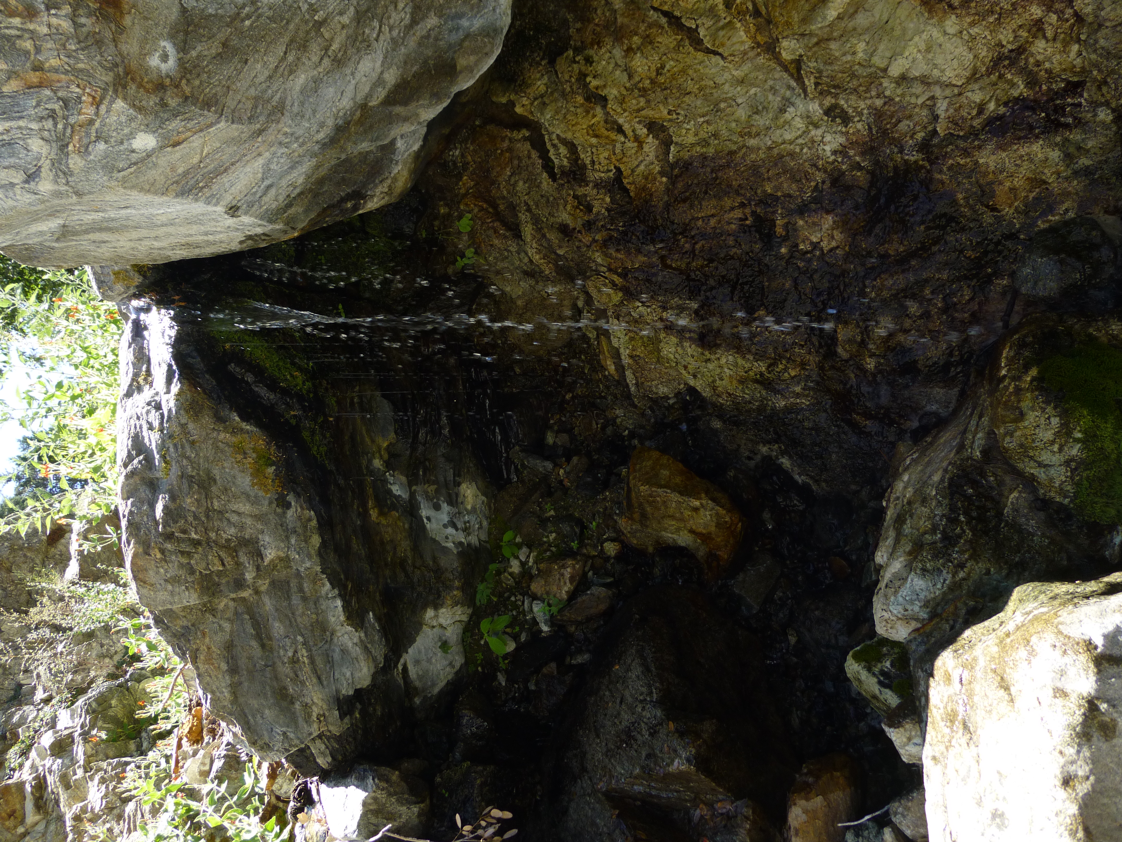
At an elevation of 6,360', a spring issued from the wall. It spurted with approximately the same strength as Columbine Spring and formed a little pool among the rocks. As I ascended higher the creek took shape, and there were a few stretches where it flowed decently and created pretty cascades.

Image

Image

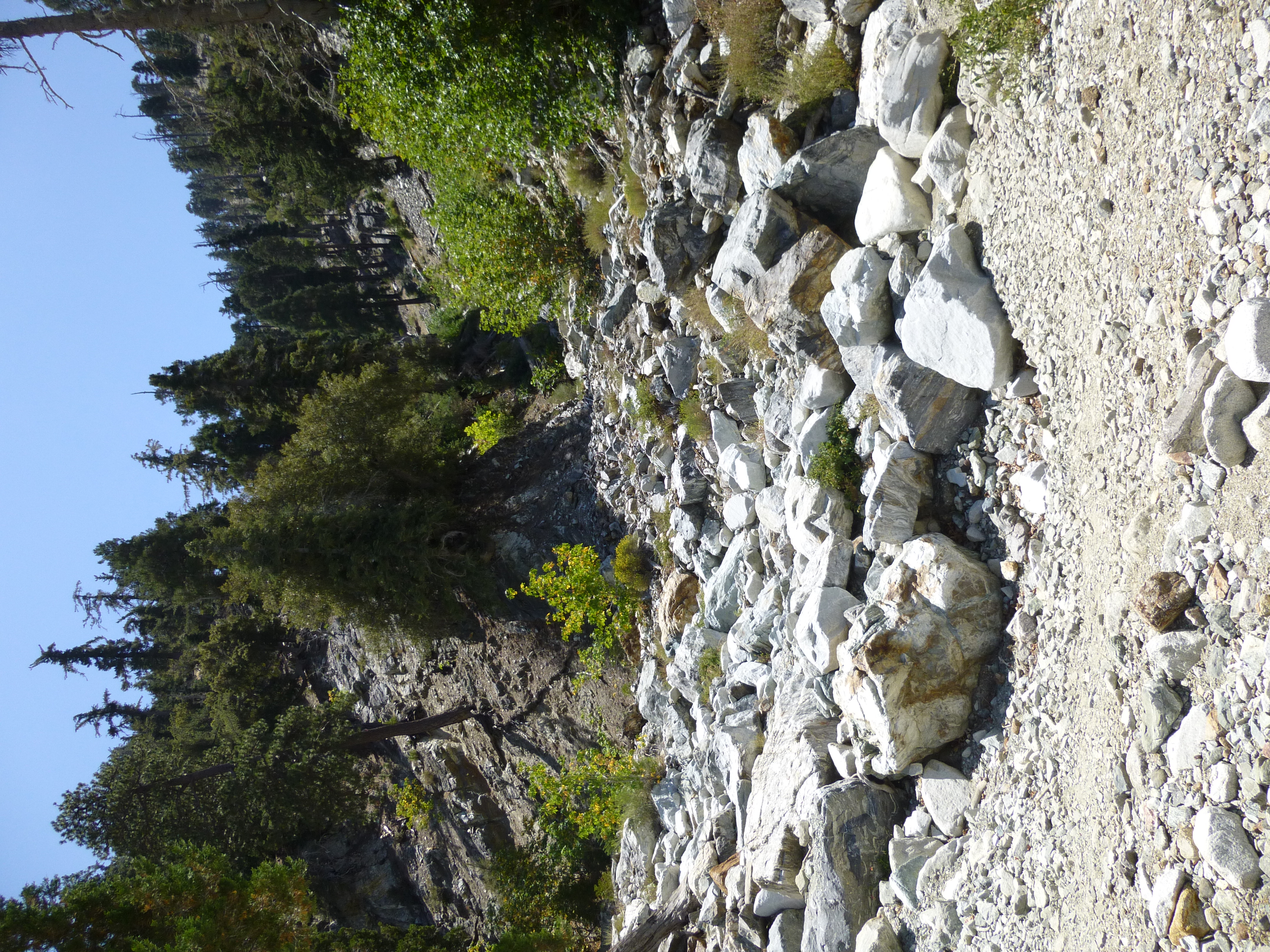
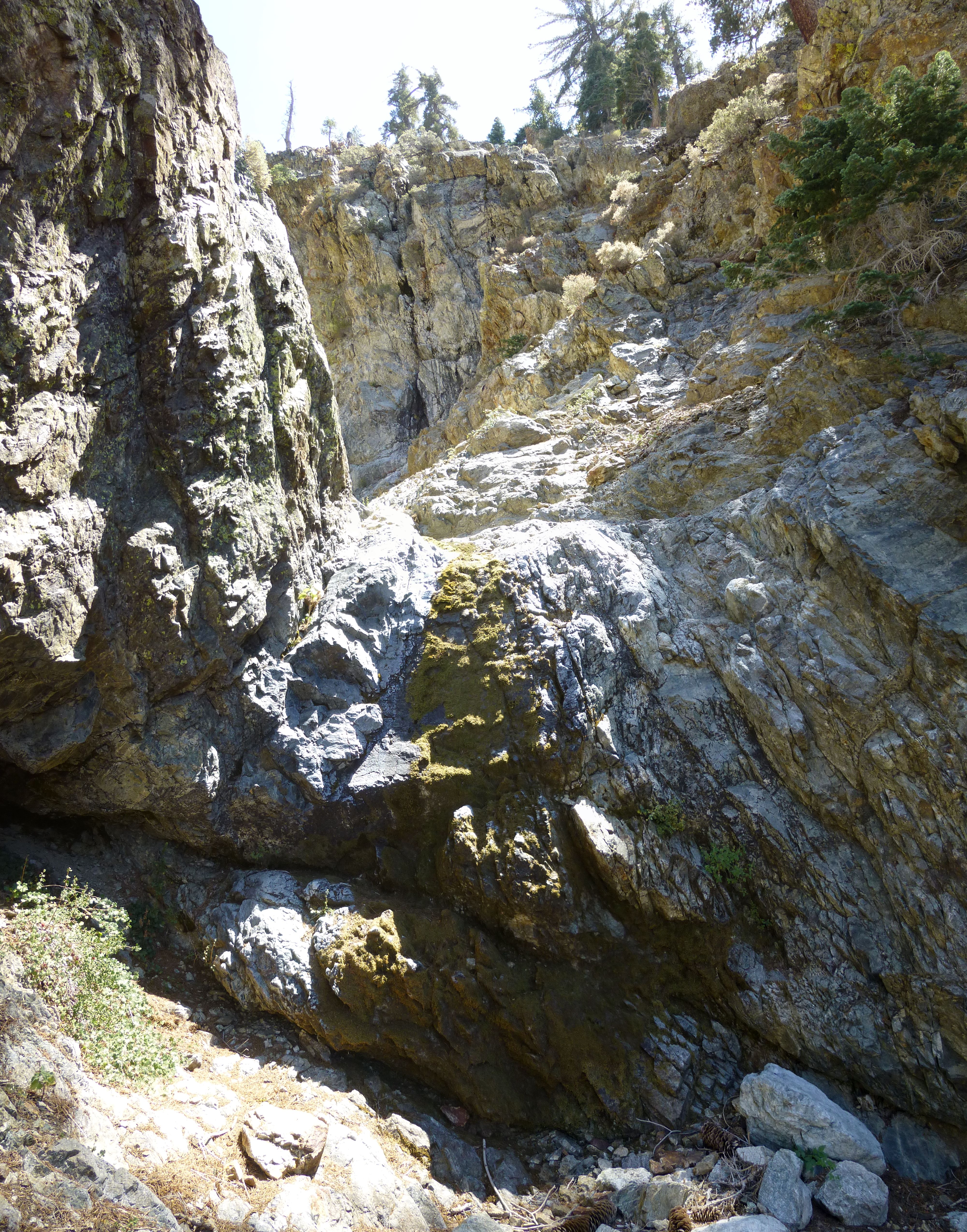
After scrambling through a few plants and trees, next came some rockclimbing walls. Two or three were rather challenging and probably unavoidable, perhaps class 3+ with exposure up to 15 feet. The rest could be bypassed using easier class 2 routes.

Image

Image

Image

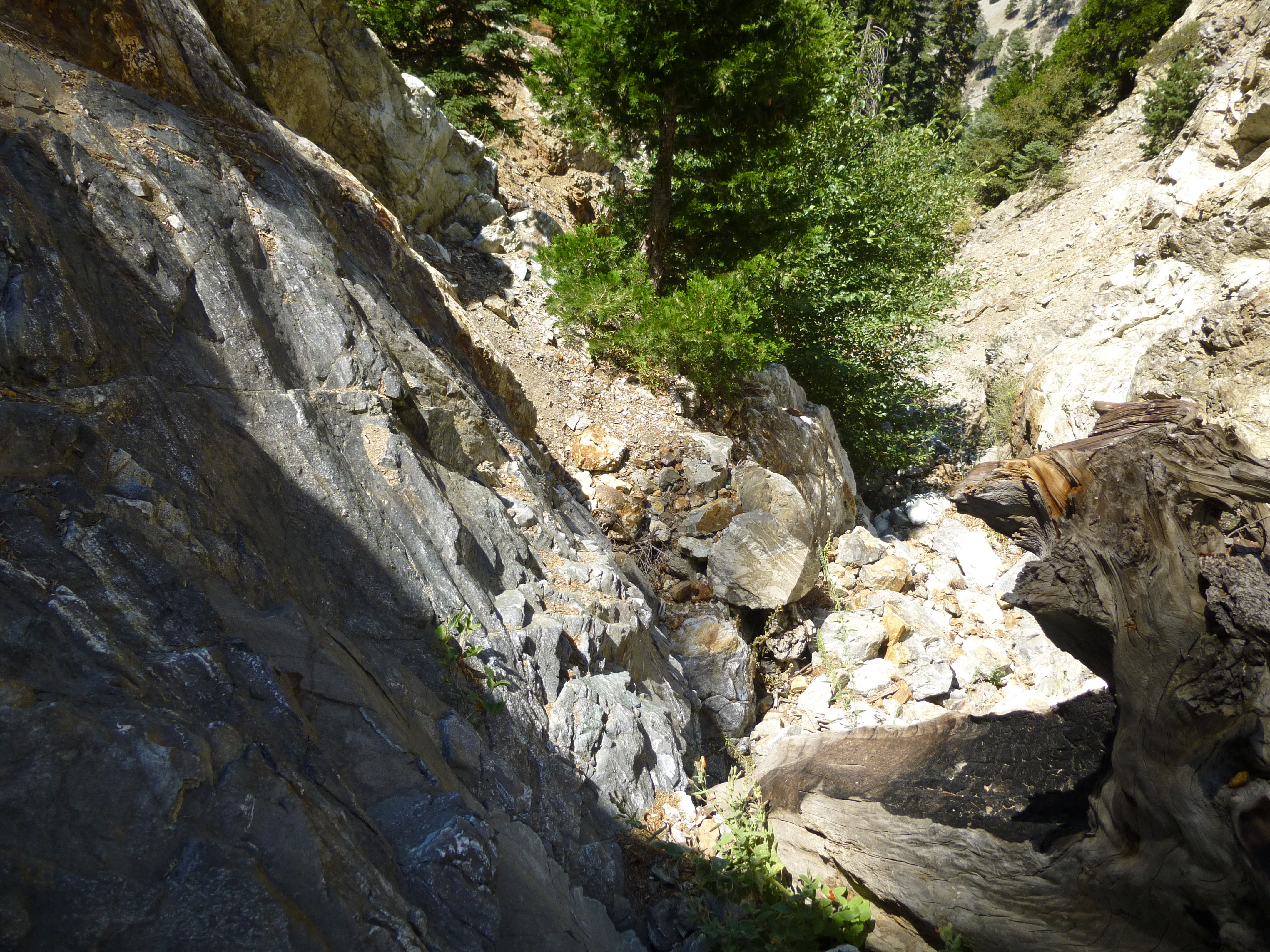
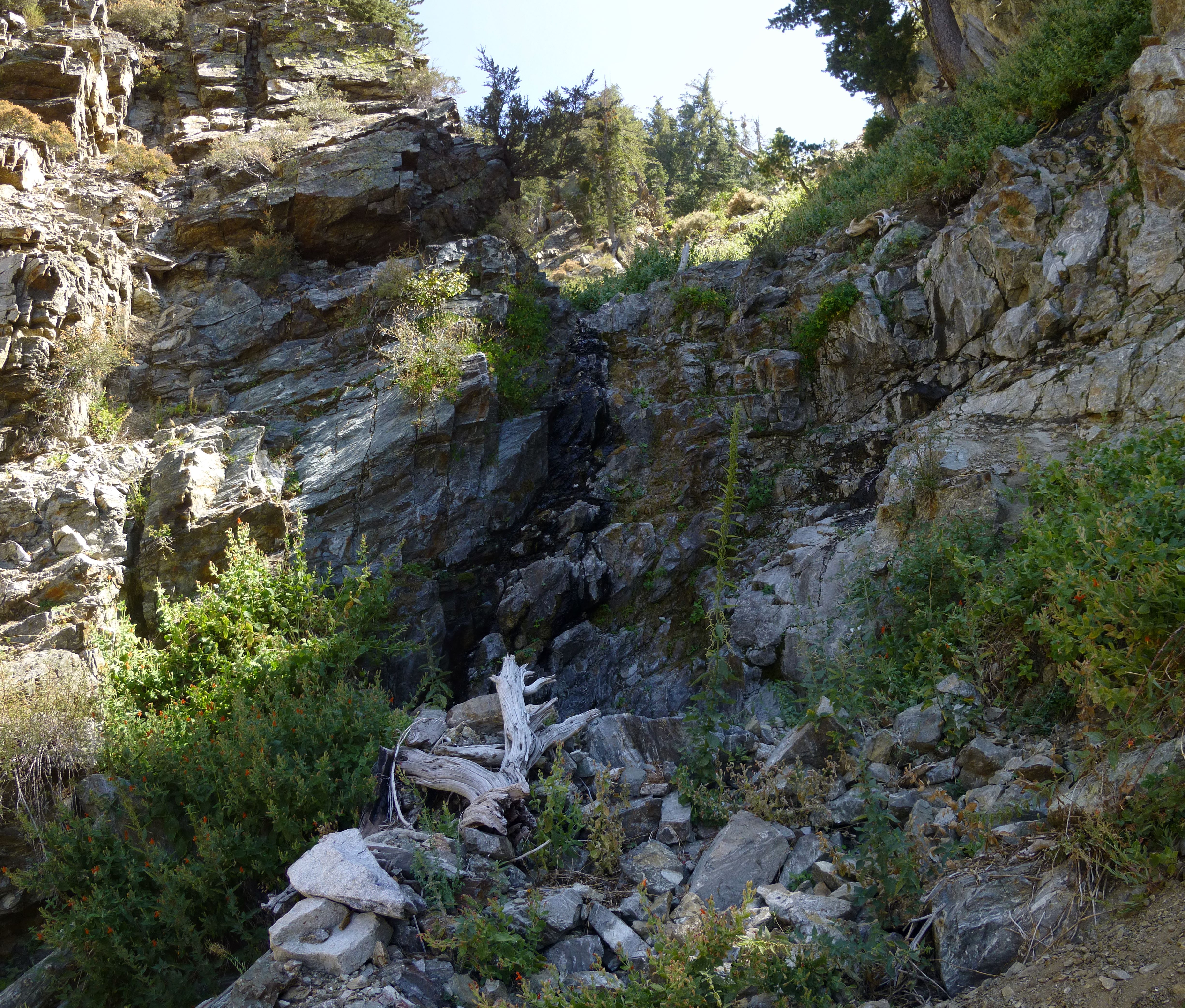
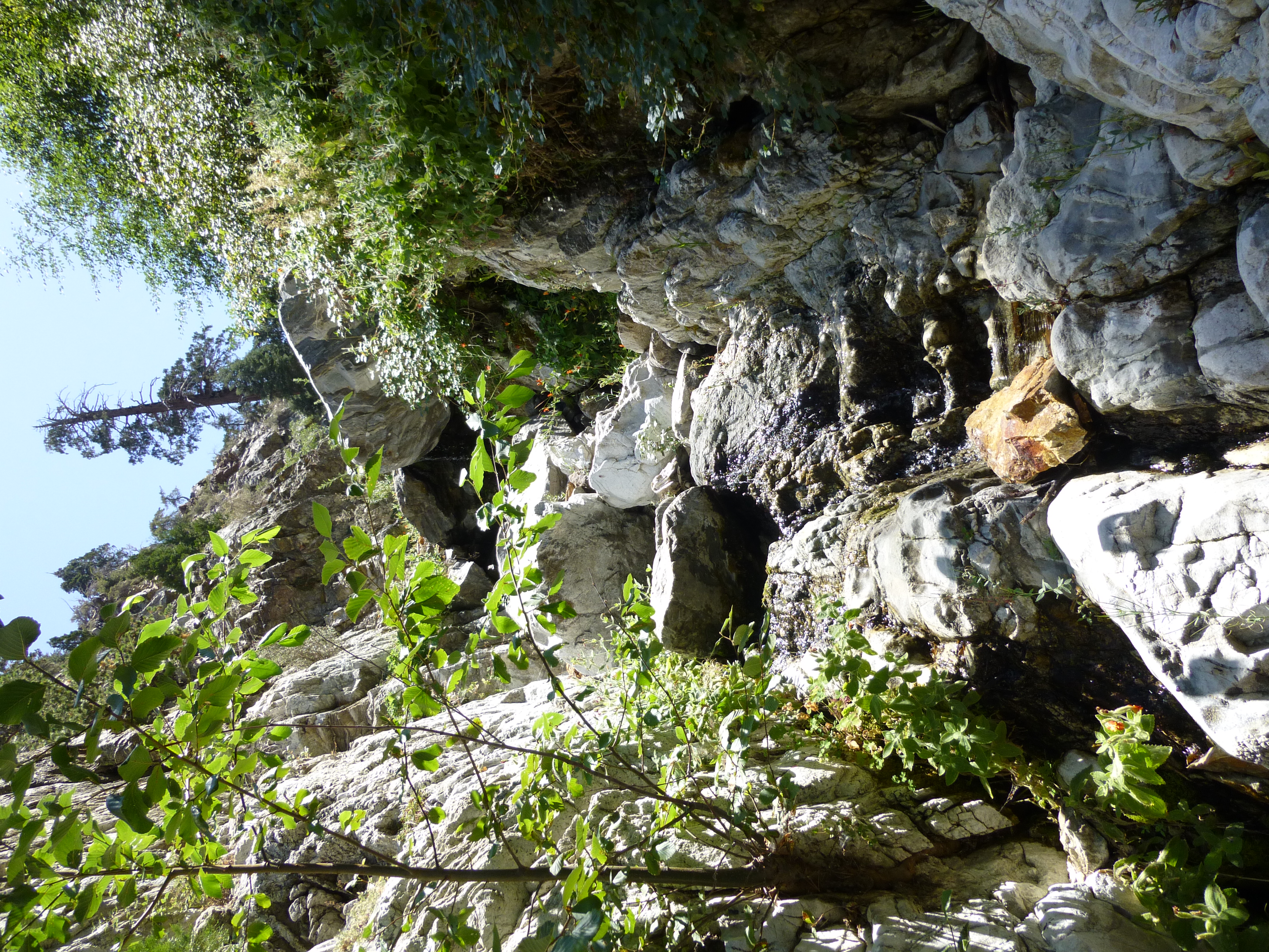
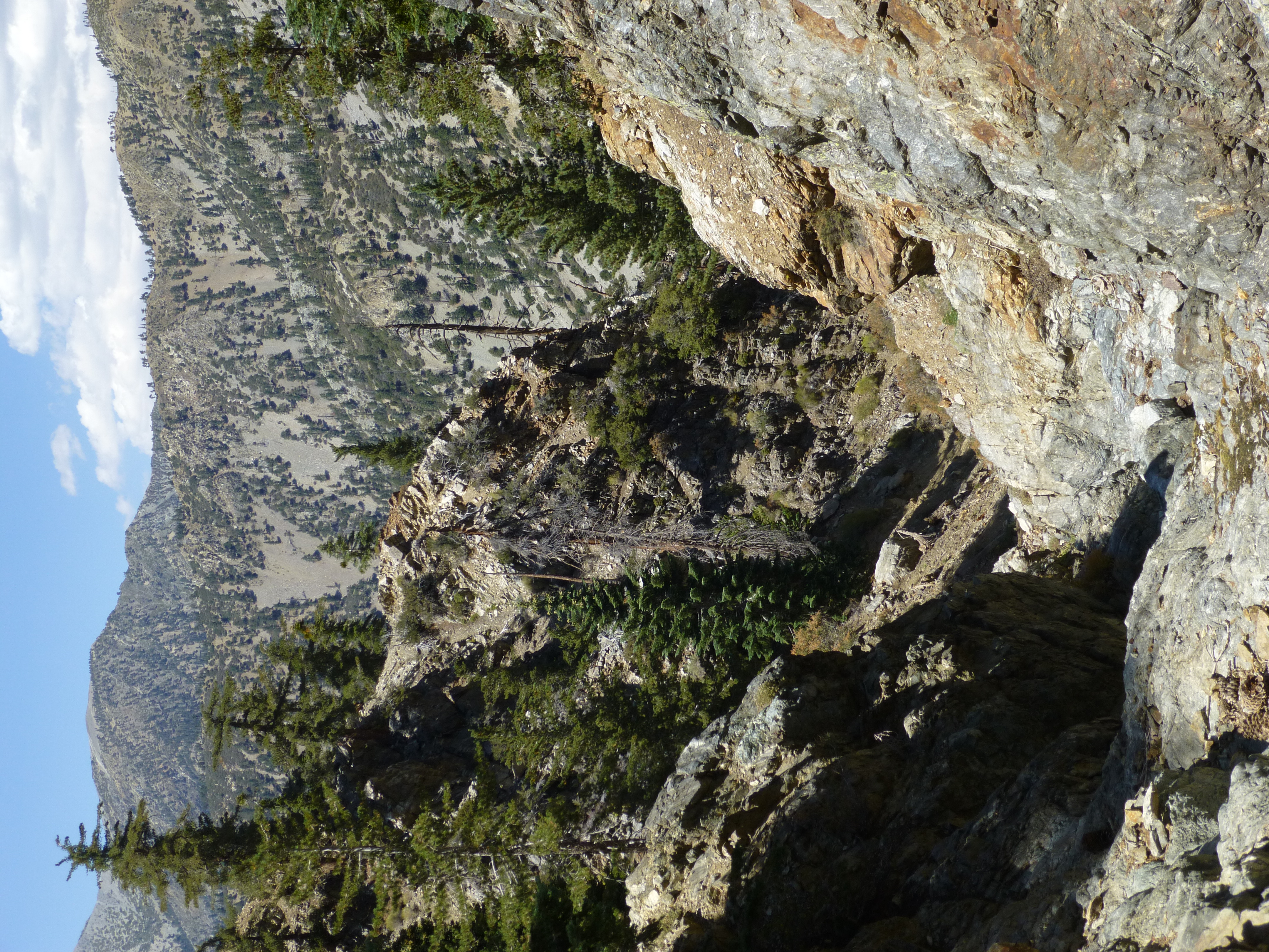
Every so often the tight corridor would open up a window and reveal something in the distance.

Image

Image

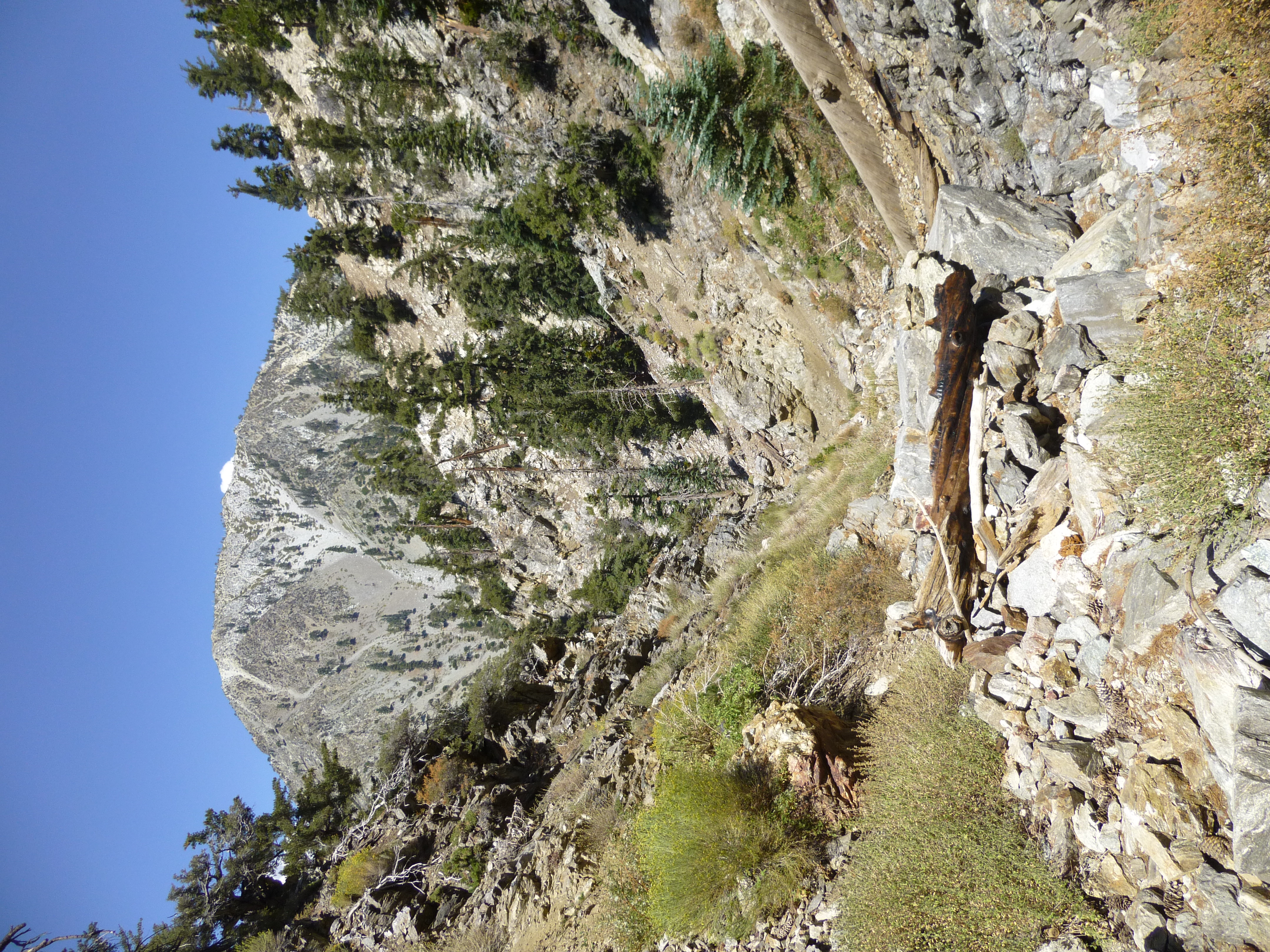
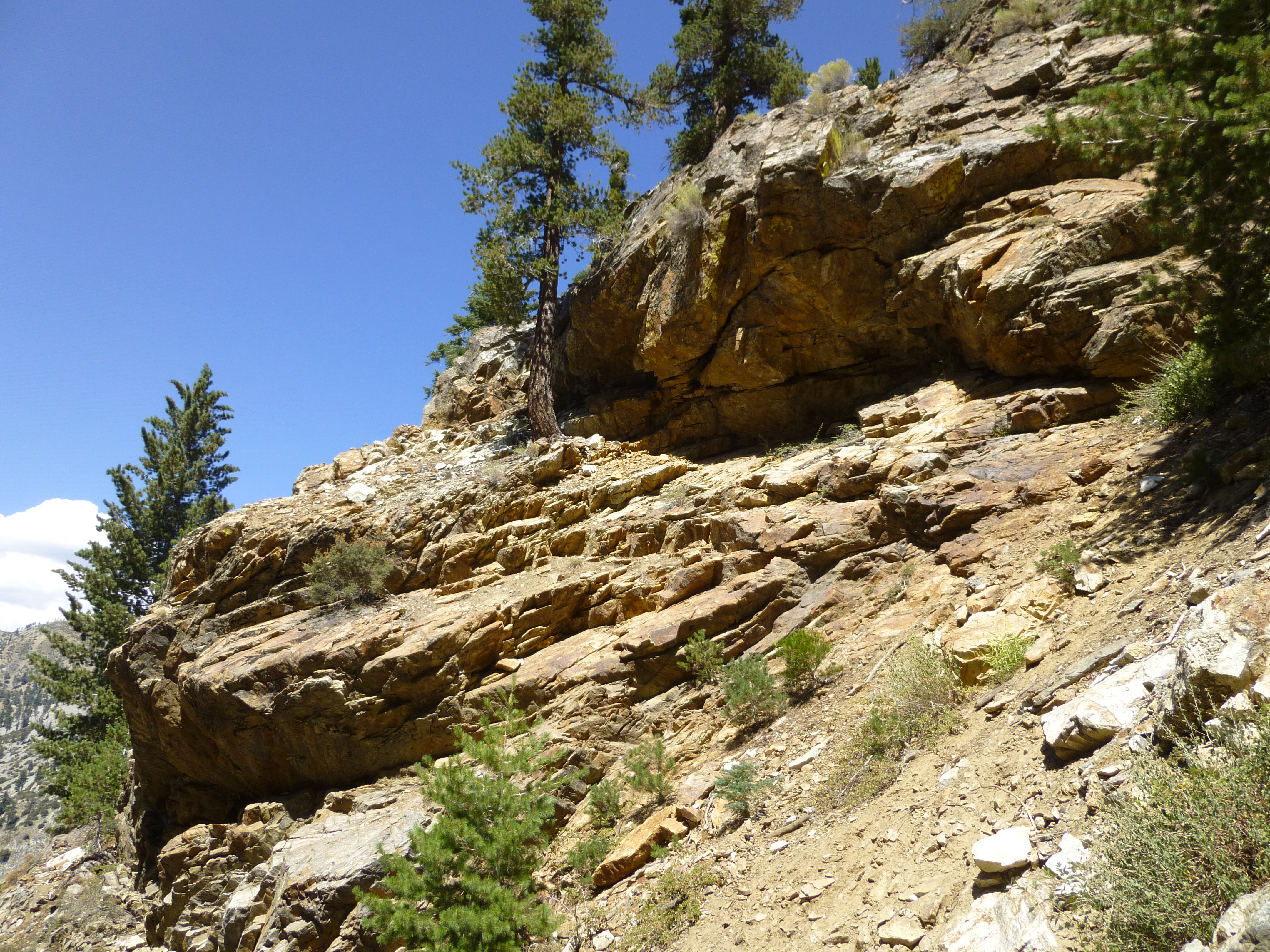
But mostly I spent the day admiring the canyon's rock formations.

Image

Image

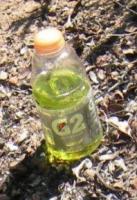
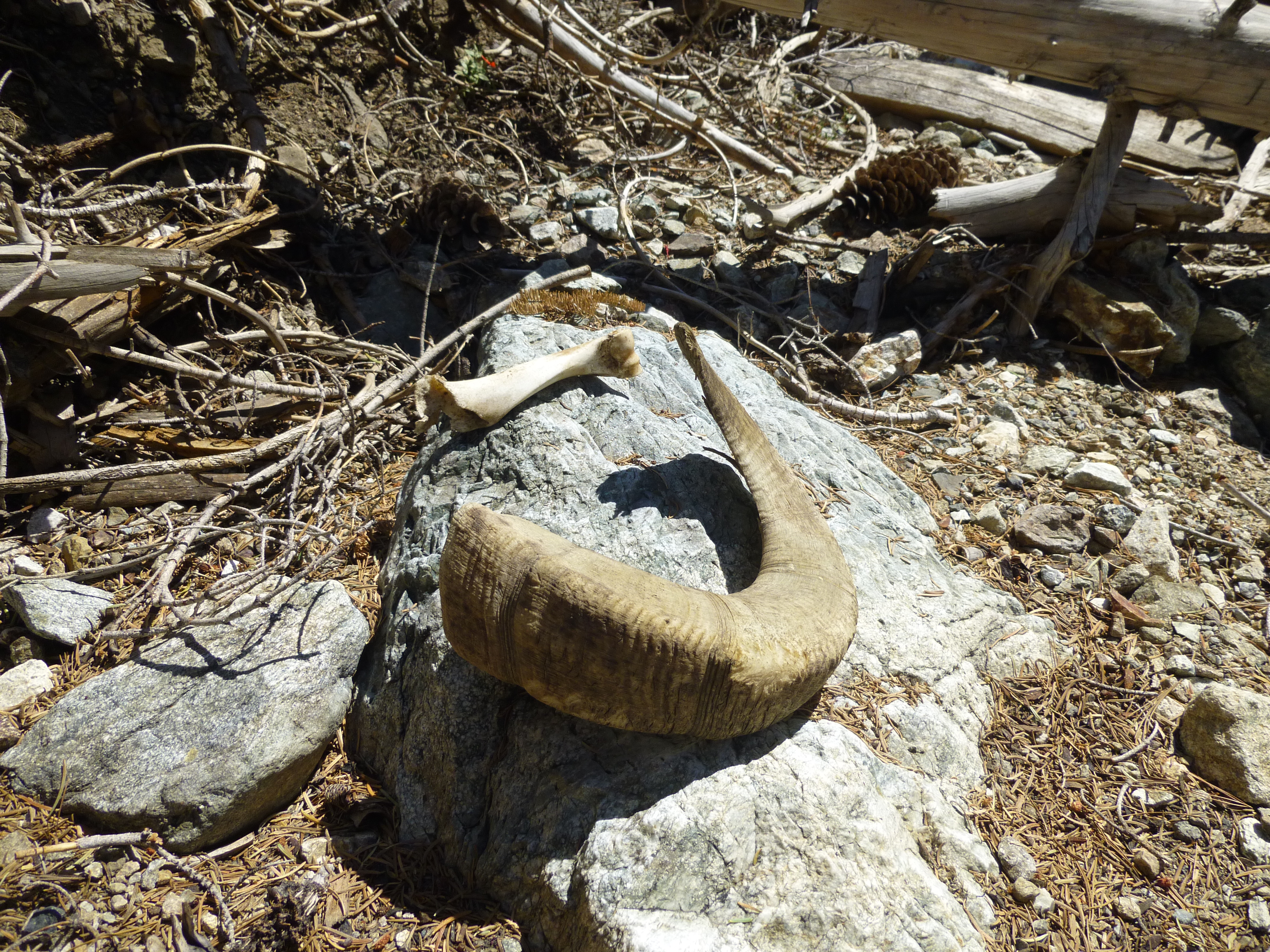
I also found this...

Image

And these...

Image

The last water oozed from the earth around 7,460' elevation, immediately below this area, where the canyon begins with a group of feeder gullies.

Image

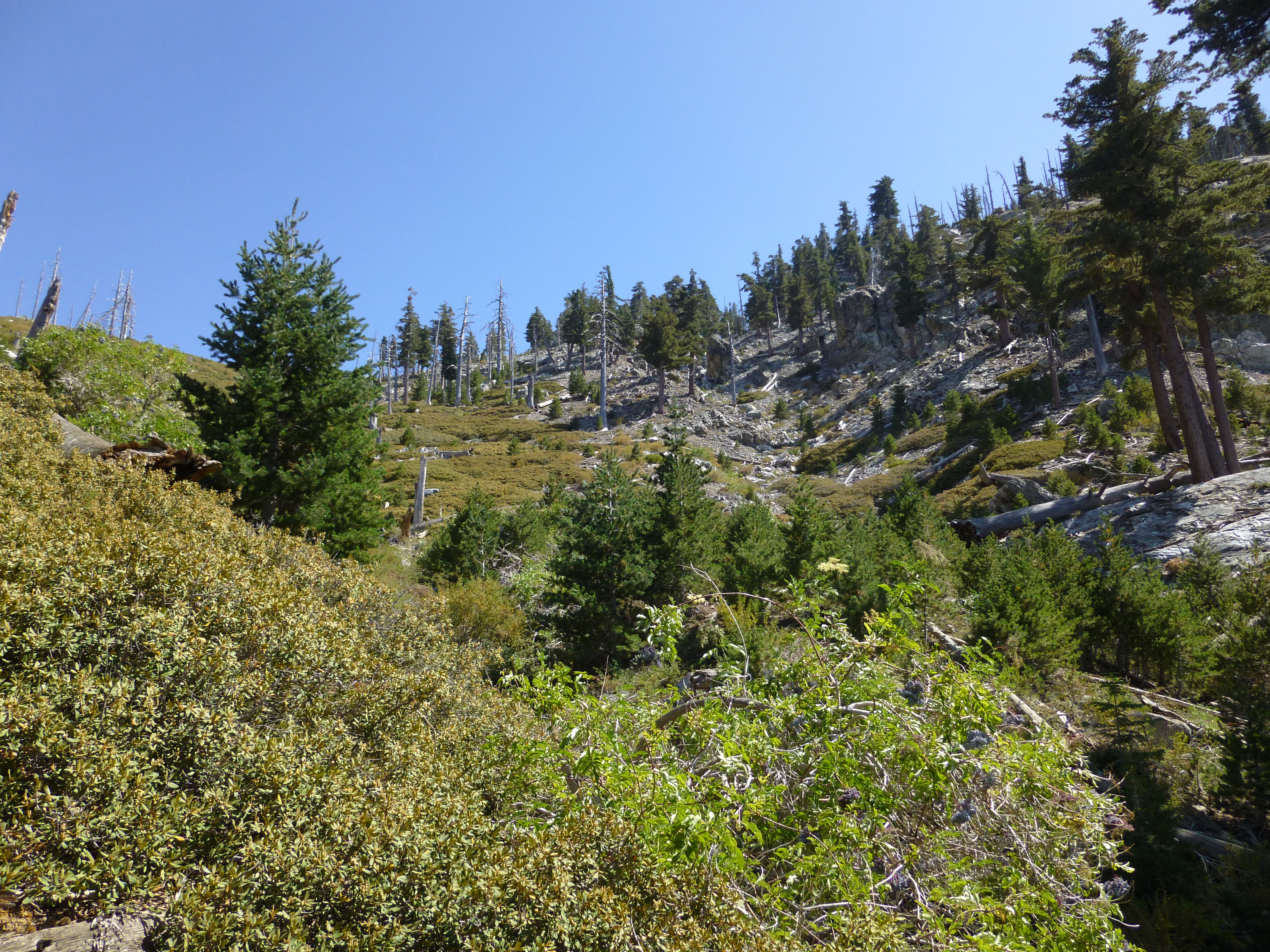
Having previously explored this upper section, I decided to exit Lost Creek and work my way over Shortcut Ridge, up Delker Canyon, to the Ontario Peak Trail and ultimately civilization.

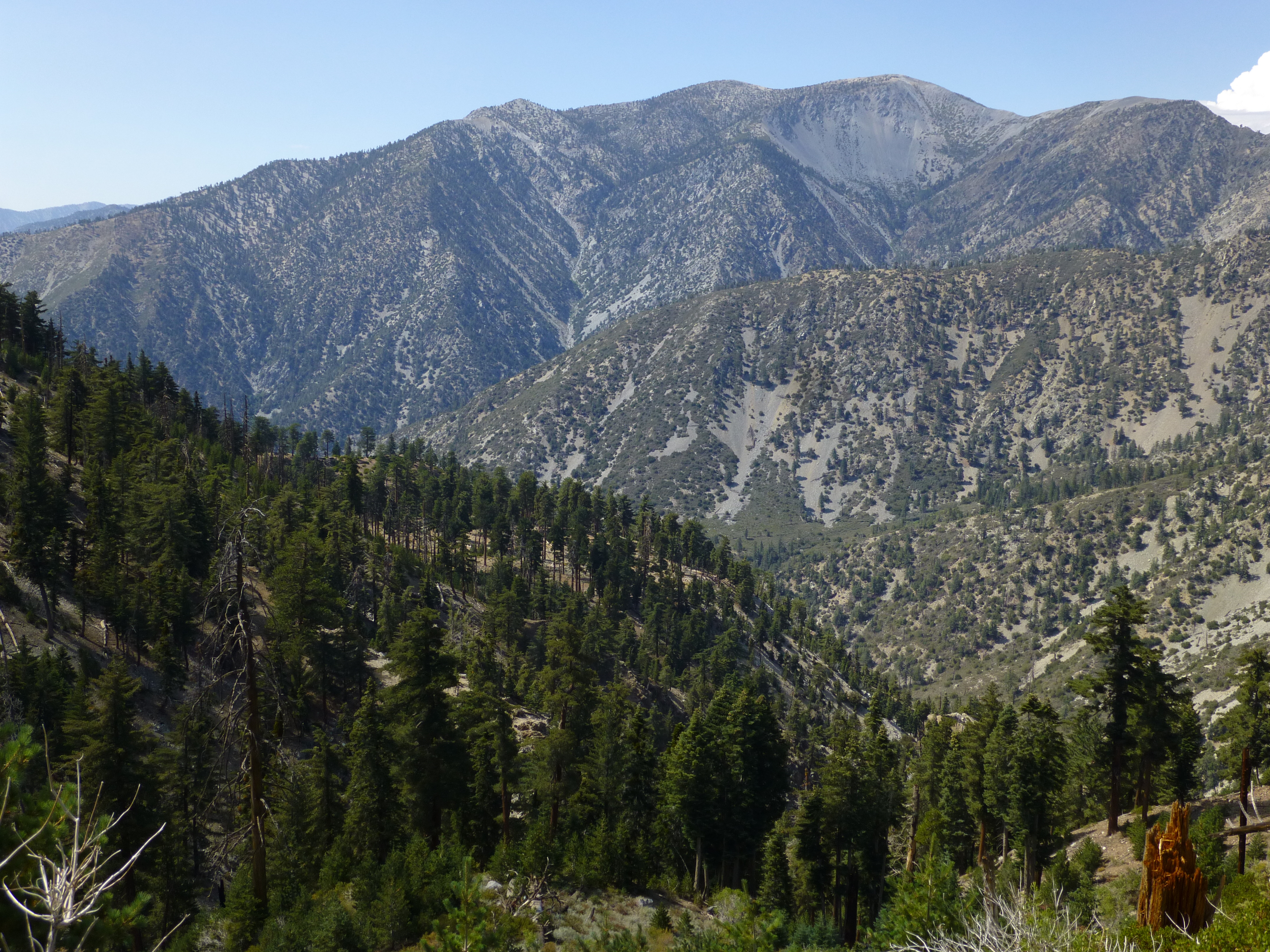
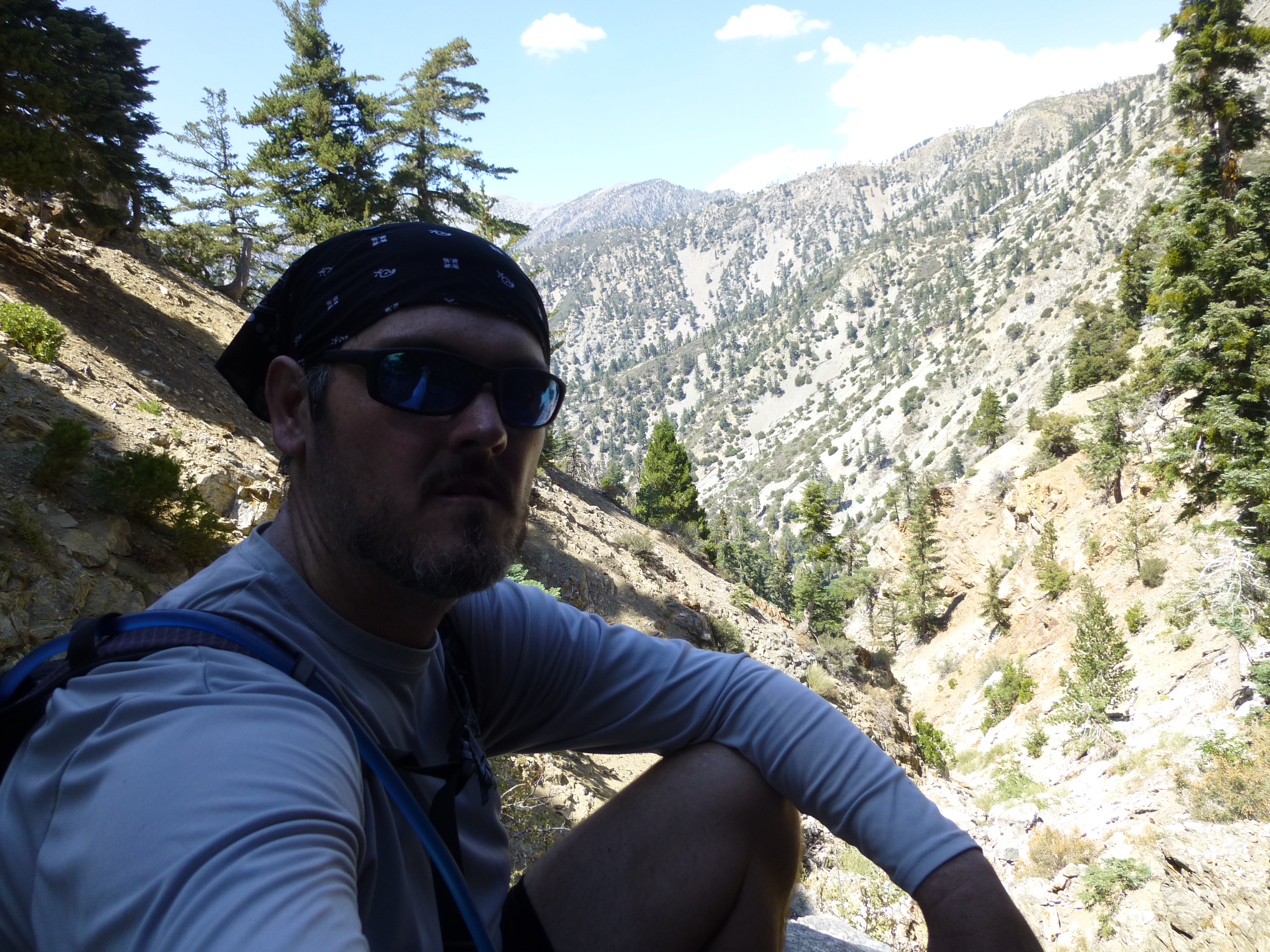
On my way out I scored a nice view of Baldy.

Image
User avatar
asbufra
Posts: 135
Joined: Sun Oct 26, 2008 10:27 pm

Post by asbufra »

Thanks for this trip report and photos. I have always looked up that canyon and wondered what was around the first corner. Now I will go up and see for myself.
User avatar
Taco
Snownado survivor
Posts: 6010
Joined: Thu Sep 27, 2007 4:35 pm

Post by Taco »

Those canyons on the north side of Ontario are nice. Surprised you found a spring still running. Rad.
User avatar
outwhere
Posts: 323
Joined: Sun Jan 25, 2009 5:40 pm

Post by outwhere »

Great TR ! Thanks to everyone posting TR's like this... it's lots of fun to 'tag along' :P

So what the hell is this thing? How common [or uncommon] is it to see this in the San Gabriel Mountains ??

Image

Will pass this along to some friends that know some stuff about plants, but this one might stump them good, especially where it was seen.

Thanks for the fun Sean...
User avatar
cougarmagic
Posts: 1409
Joined: Wed May 07, 2008 5:21 pm

Post by cougarmagic »

outwhere wrote: So what the hell is this thing? .
I believe it's Gooseberry. Though how anyone finds it edible will be news to me!

http://calphotos.berkeley.edu/cgi/img_q ... Gooseberry
User avatar
Sean
Cucamonga
Posts: 3782
Joined: Wed Jul 27, 2011 12:32 pm

Post by Sean »

cougarmagic wrote: I believe it's Gooseberry.
Yes, I think it's this one. Ribes Roezlii, Sierra Gooseberry.
User avatar
tekewin
Posts: 1195
Joined: Thu Apr 11, 2013 5:07 pm

Post by tekewin »

Great trip and pictures. Close encounter with the deer and the sheep remains were a nice bonus.

I never noticed how many canyons there are along IHC.
User avatar
shreddy
Posts: 241
Joined: Sun Jan 16, 2011 10:40 pm

Post by shreddy »

Enjoyed the report and pics. Wow, that old sheep horn.....
User avatar
Uncle Rico
Posts: 1402
Joined: Thu Mar 20, 2008 7:48 pm

Post by Uncle Rico »

Good find on that spring Sean. That doesn't show on any of the maps I've looked at.
User avatar
MattCav
Posts: 356
Joined: Thu Sep 23, 2010 4:13 am

Post by MattCav »

Nice job, Sean. Did you scramble up everything or tie in at any point? A couple of those granite walls looks slick and steep.

Thanks for sharing. I've wondered about the south walls of Icehouse for a long time.
User avatar
Sean
Cucamonga
Posts: 3782
Joined: Wed Jul 27, 2011 12:32 pm

Post by Sean »

MattCav wrote: Did you scramble up everything or tie in at any point? A couple of those granite walls looks slick and steep.
I scrambled up everything. No protection. A couple problems truly concerned me. The first one was this thing:

Image

Looking down:

Image

In the photo it looks like going left might be easy, but in reality I couldn't find a way to pull myself up onto the rocks. So I cross-stepped along the side of the right wall, using narrow footholds. The lack of good handholds made it a little scary. The fall would have been less than 10 feet, but I was not looking forward to the rock-ladden crash zone.

The second-most dangerous move was this waterfall:

Image

I went up the dry part on the right side, which was vertical with good holds. The exposure was slightly greater (maybe 20 feet), but I felt safer due to the solid holds. Though there were a couple loose rocks to avoid.

The left side of the waterfall appeared to offer an easier class 2 route.

Several smaller obstacles required minimal technique. But if you can do these two moves, you'll be fine.
Post Reply