The Good Canyon Experience
Posted: Mon Aug 12, 2013 1:46 pm
The alarm sounded at 4AM, but I couldn't will myself out of bed until the backup a half hour later. It was a 45-minute drive to Baldy, and I needed to shower, dress, eat breakfast, gas up the car, buy batteries for the Garmin, and meet Willie at the Visitor Center by 6AM. I made it, with negative minutes to spare.
We carpooled to an unpaved turnout prior to where the road divides near Manker Flats. It was right across the street from the drop-in to Big Butch Wash, around elevation 5,900'. After descending Big Butch for 320 feet, we reached the mouth of Good Canyon, our primary objective for the day.
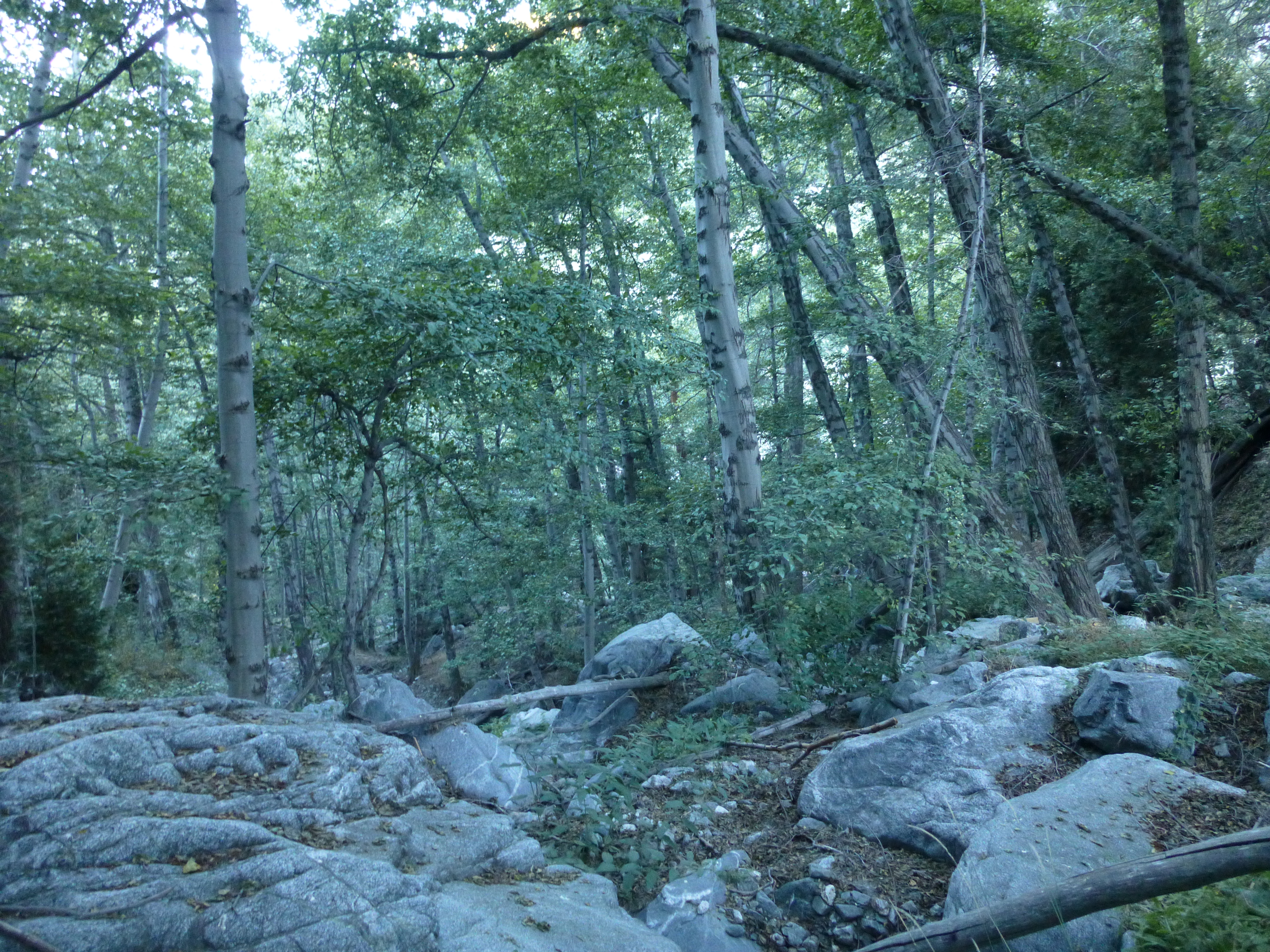
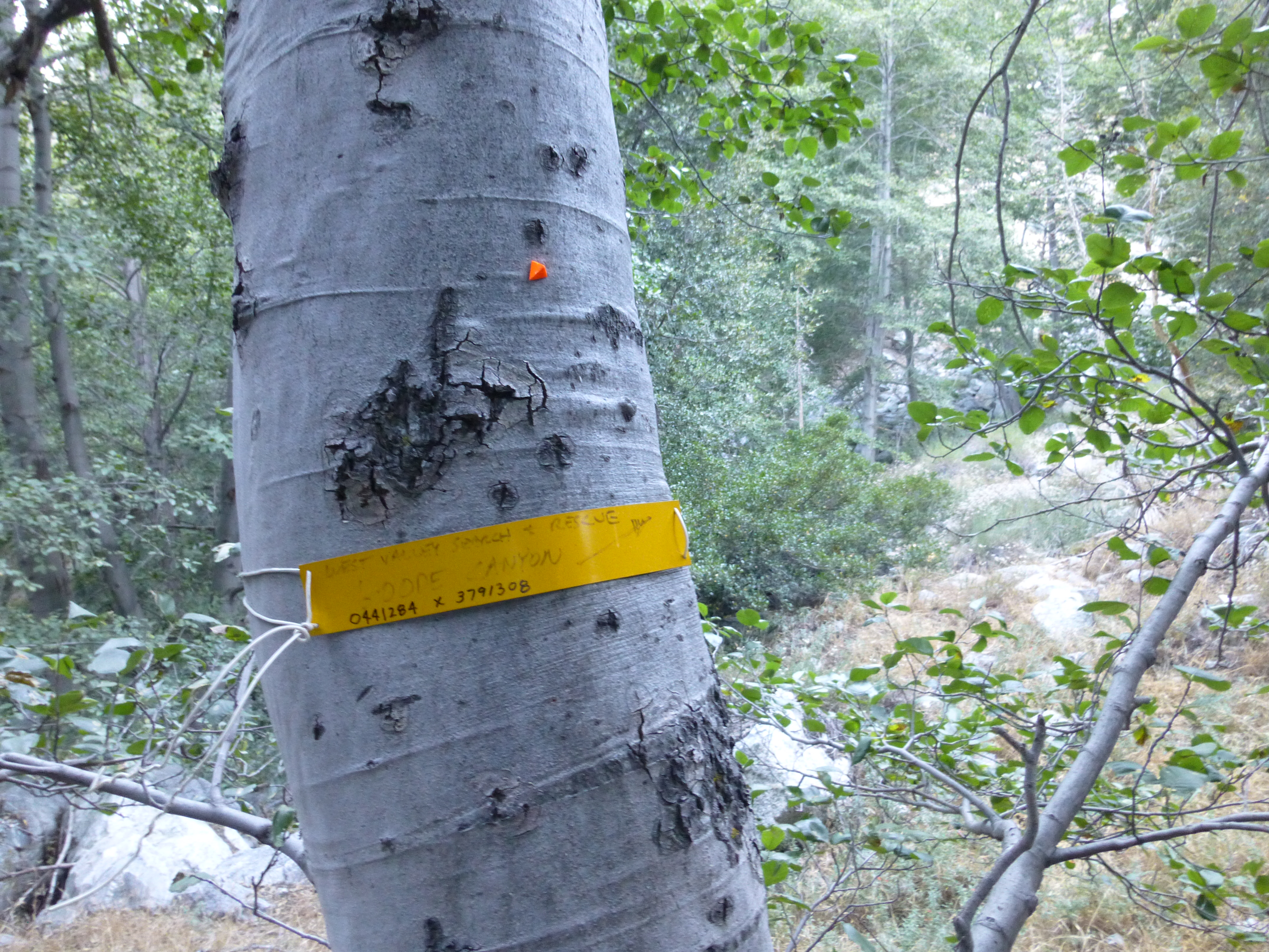
Getting to Good Canyon was a little less than straightforward. Big Butch first hit the confluence with San Antonio Canyon, which became appealing around the 5,680-foot mark. This area, where Big Butch, San Antonio, and Good all come together, was packed with trees, making navigation slightly confusing. However, I soon realized that we had to keep descending to the next confluence at 5,580'. There, a small yellow sign affixed to a tree read: "West Valley Search & Rescue, Goode Canyon." An arrow pointed toward our objective.
I noted the spelling of the canyon. Some people put an "e" on the end, and some don't. It is my understanding, however, that the canyon was named after Dr. Harvey Good, a biology professor and former Mt. Baldy fire chief. I, therefore, do not add the "e".
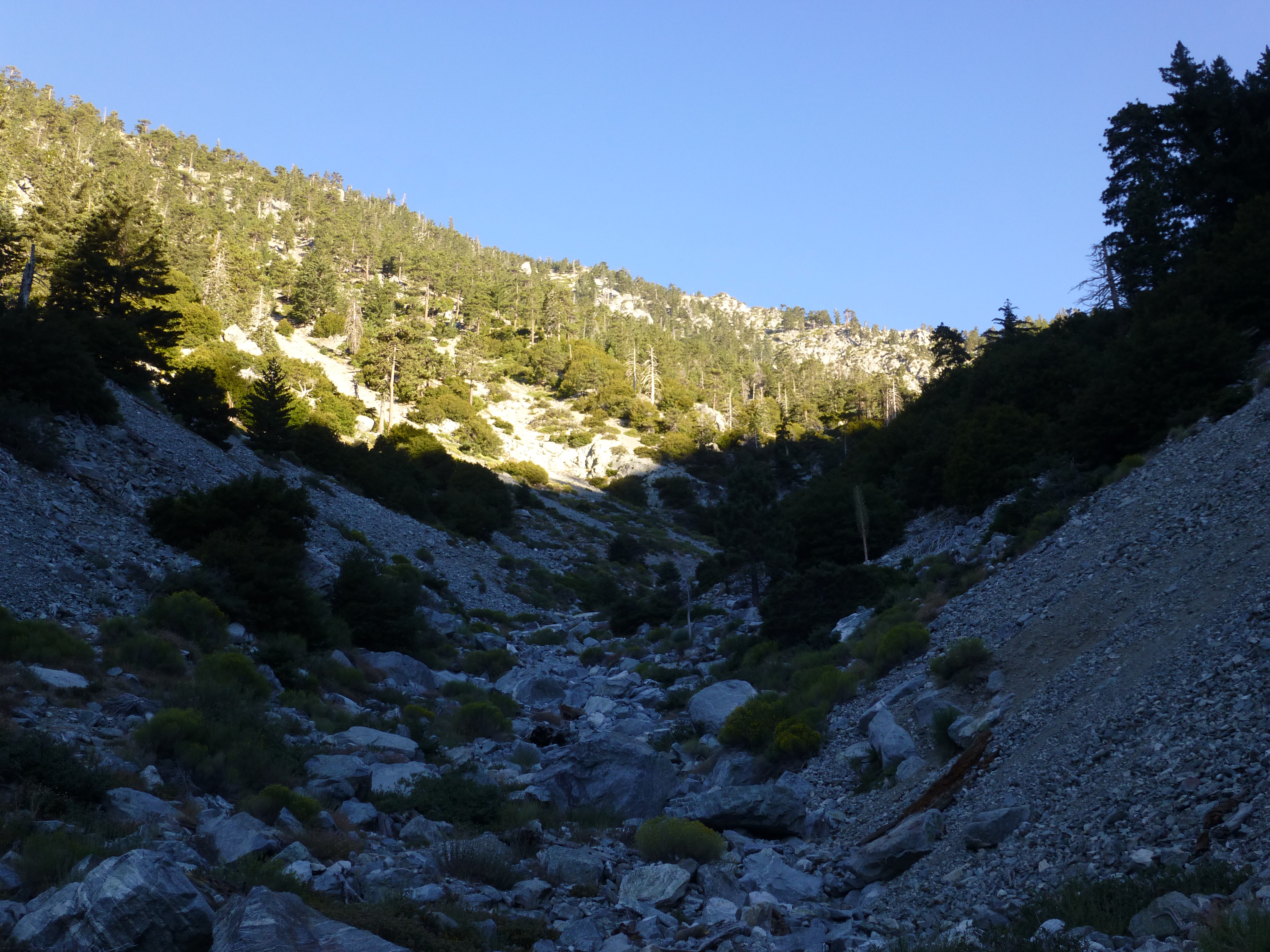
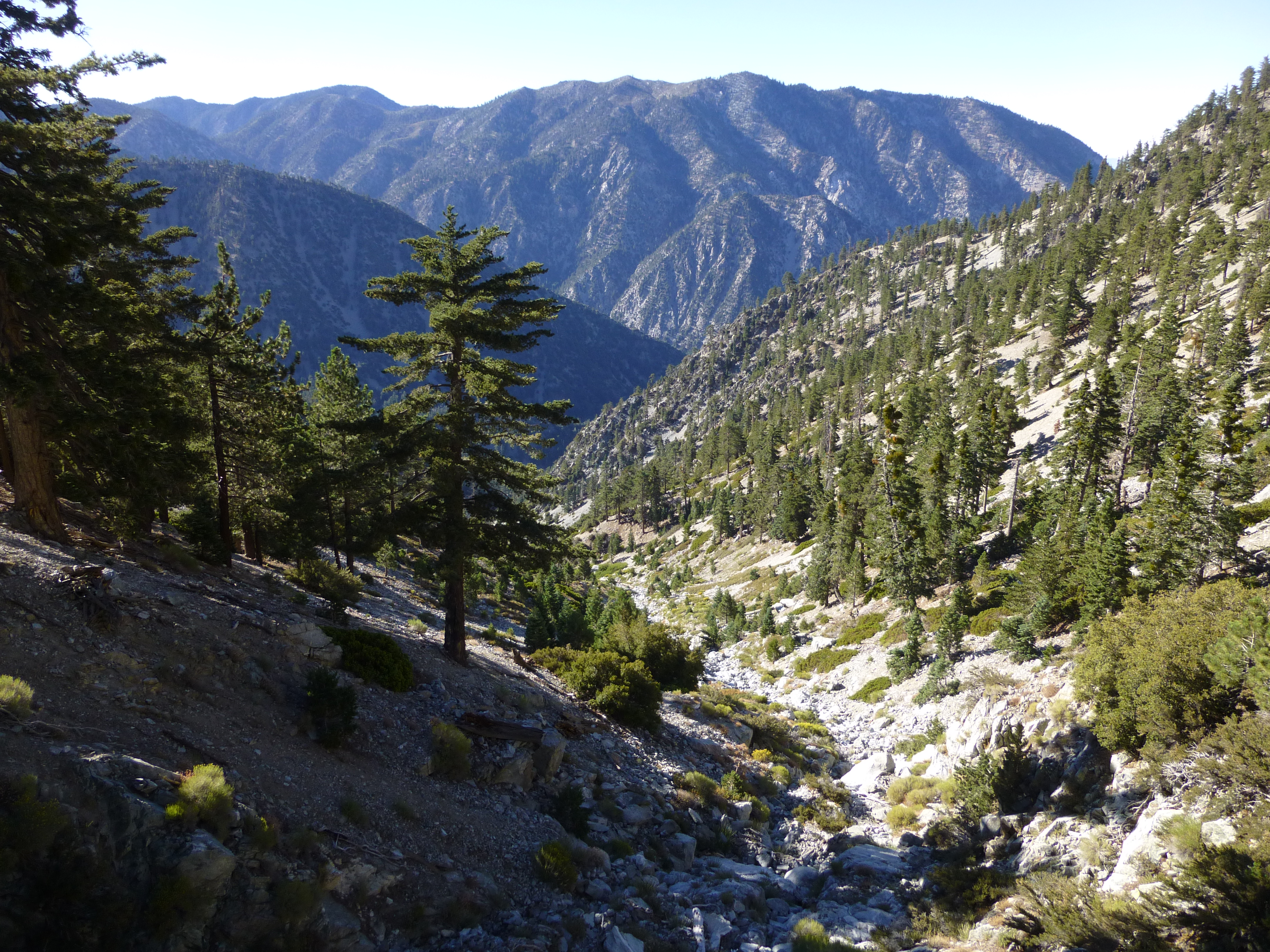
Good Canyon started off with no stream. It was a mixture of small and medium boulders and some generally avoidable brush. On each side were high ridges with lots of trees. Due to our early start, the canyon was still shaded and cool.
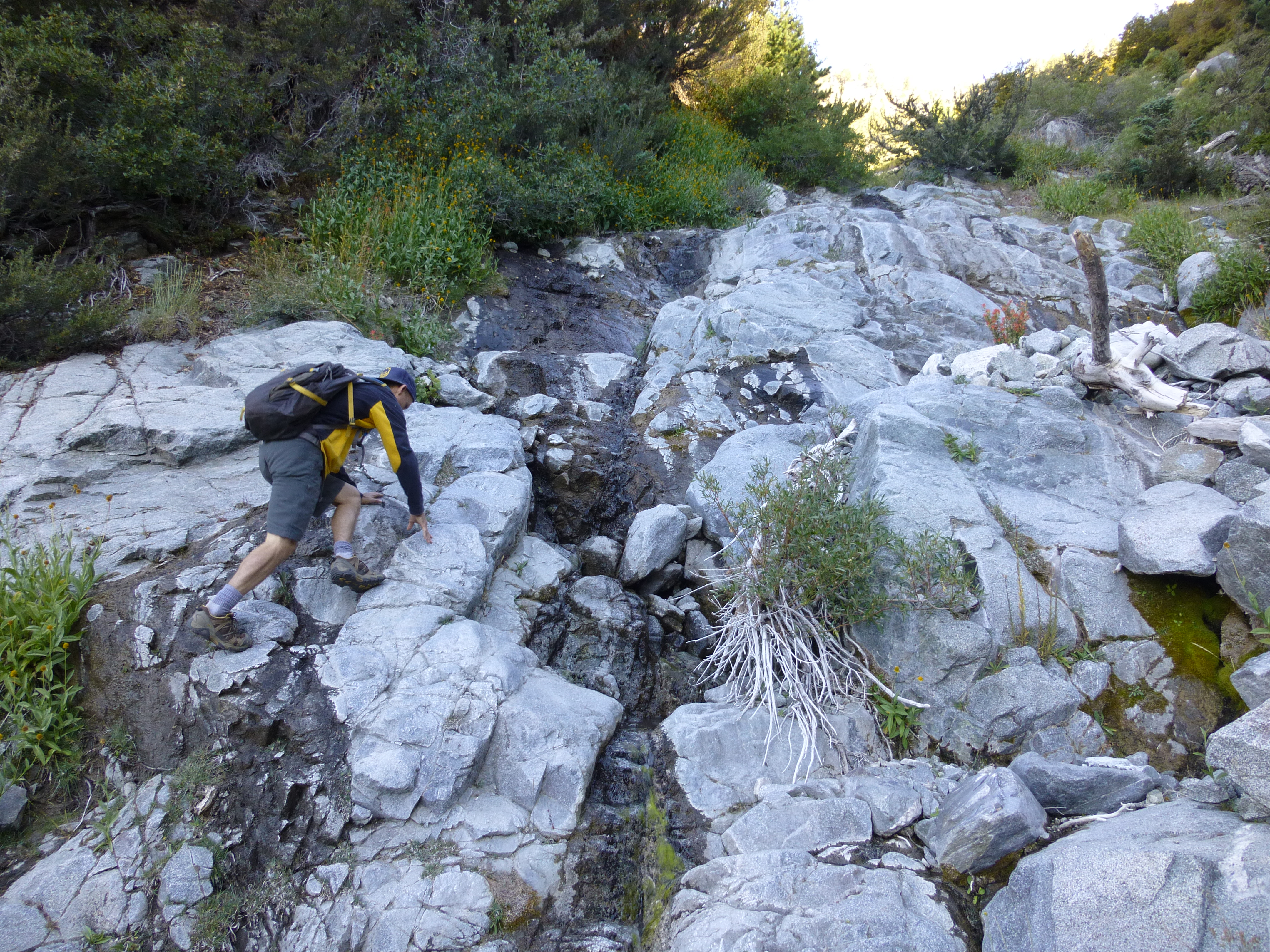
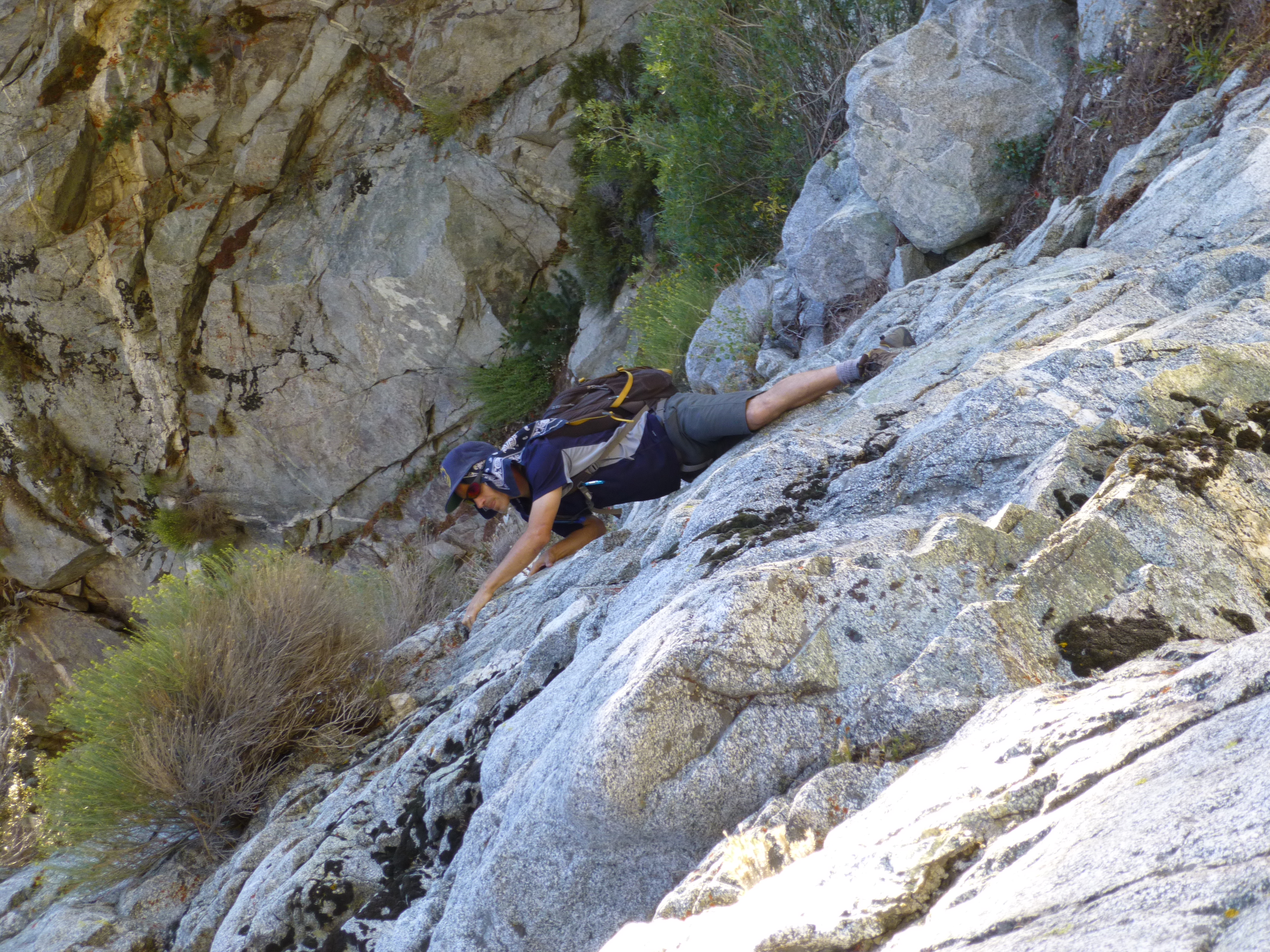
Around 7,000' we encountered flowing water with small pools and slightly denser vegetation, including a few moss-covered rocks. The climbing increased in difficulty, achieving at least Class 3. More difficult alternative climbs were available, and we took advantage of some of them. Trees encroached upon the creekbed as we moved higher and higher upstream.
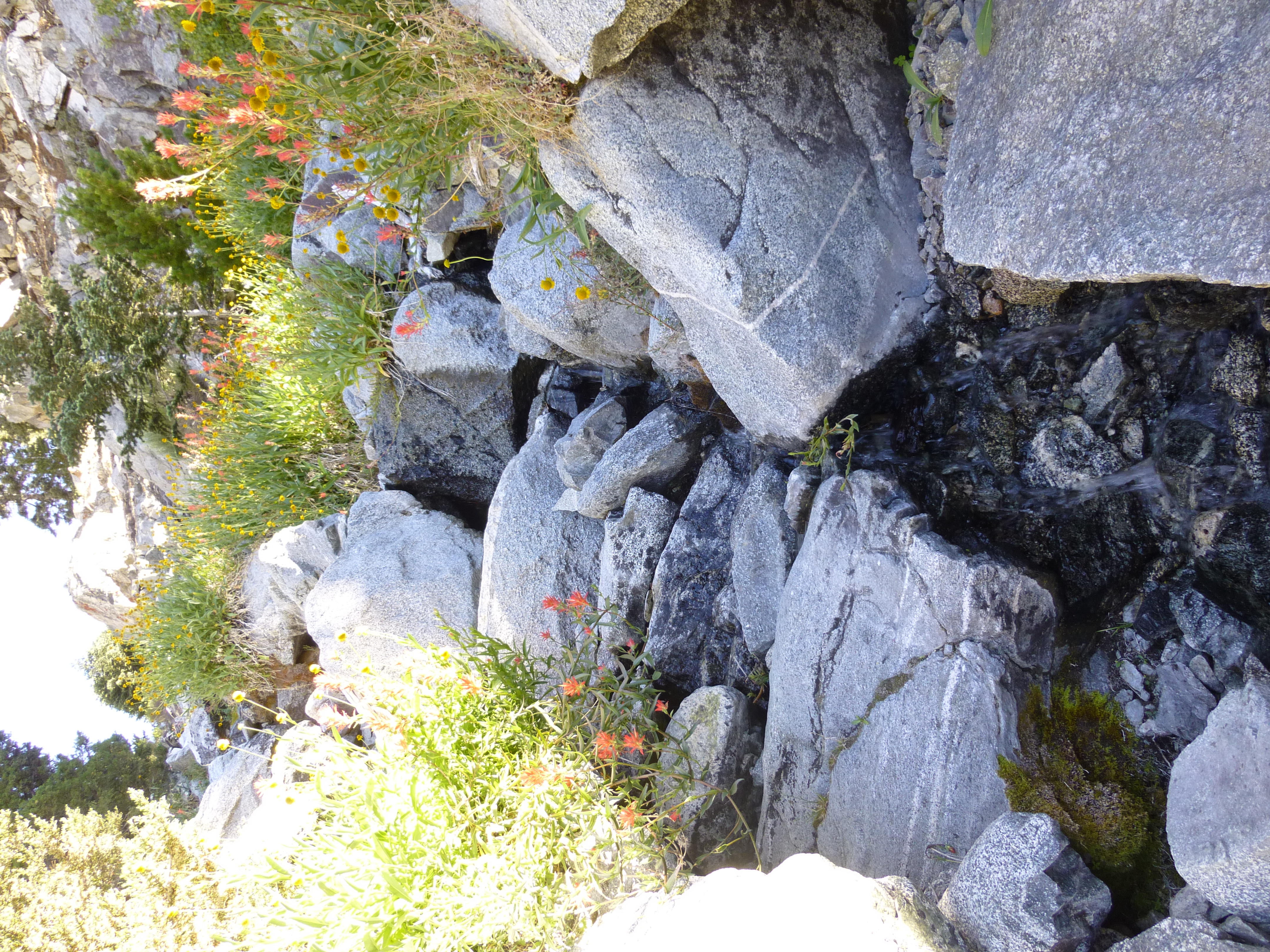
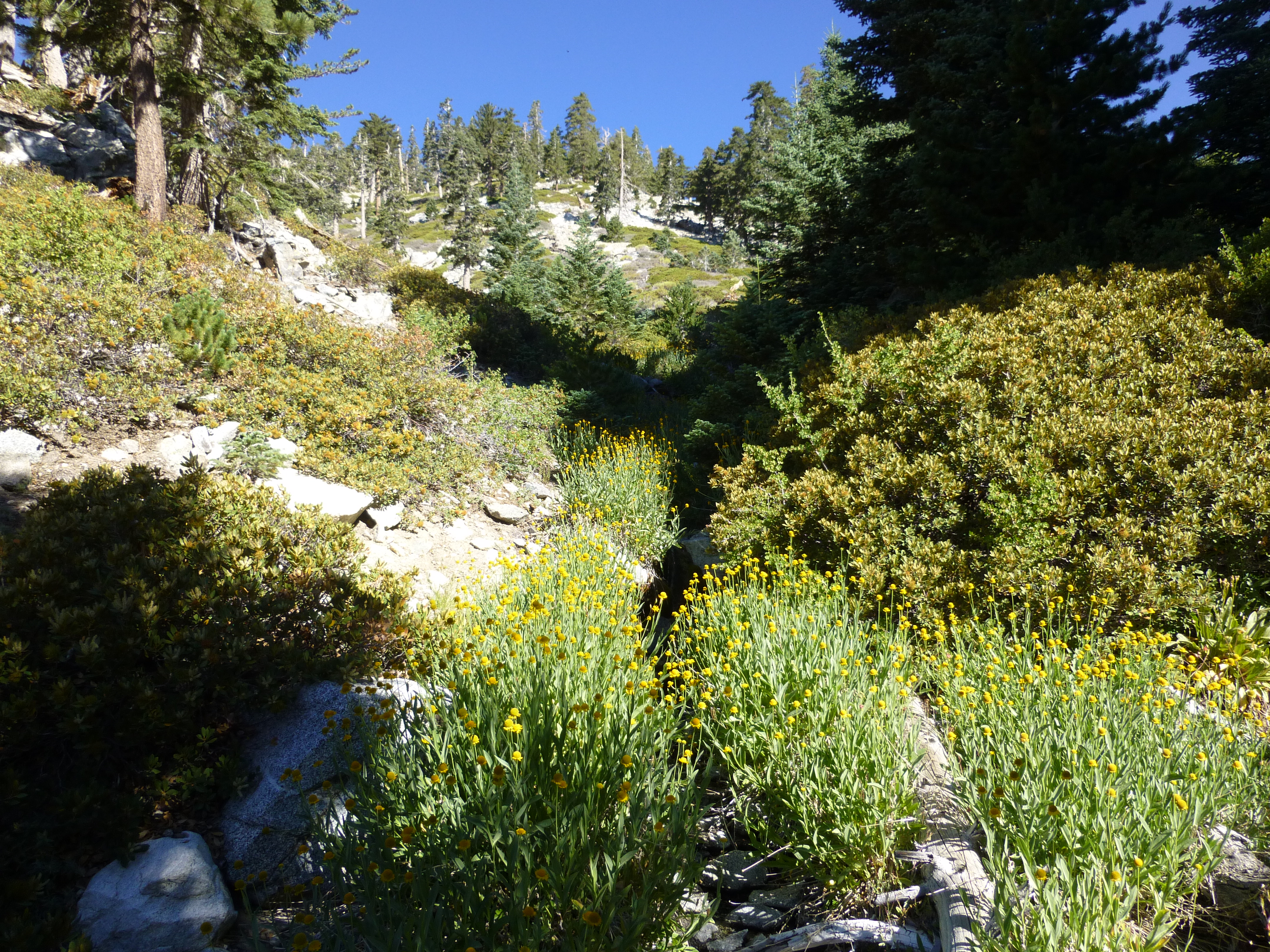
At 8,200' there was a split where we kept to the right. And at 8,320' the west fork of Good came in from the left, pouring its contents into the main branch. The area here was fairly lush with a modest stream cascading over boulders and through flower-covered banks.
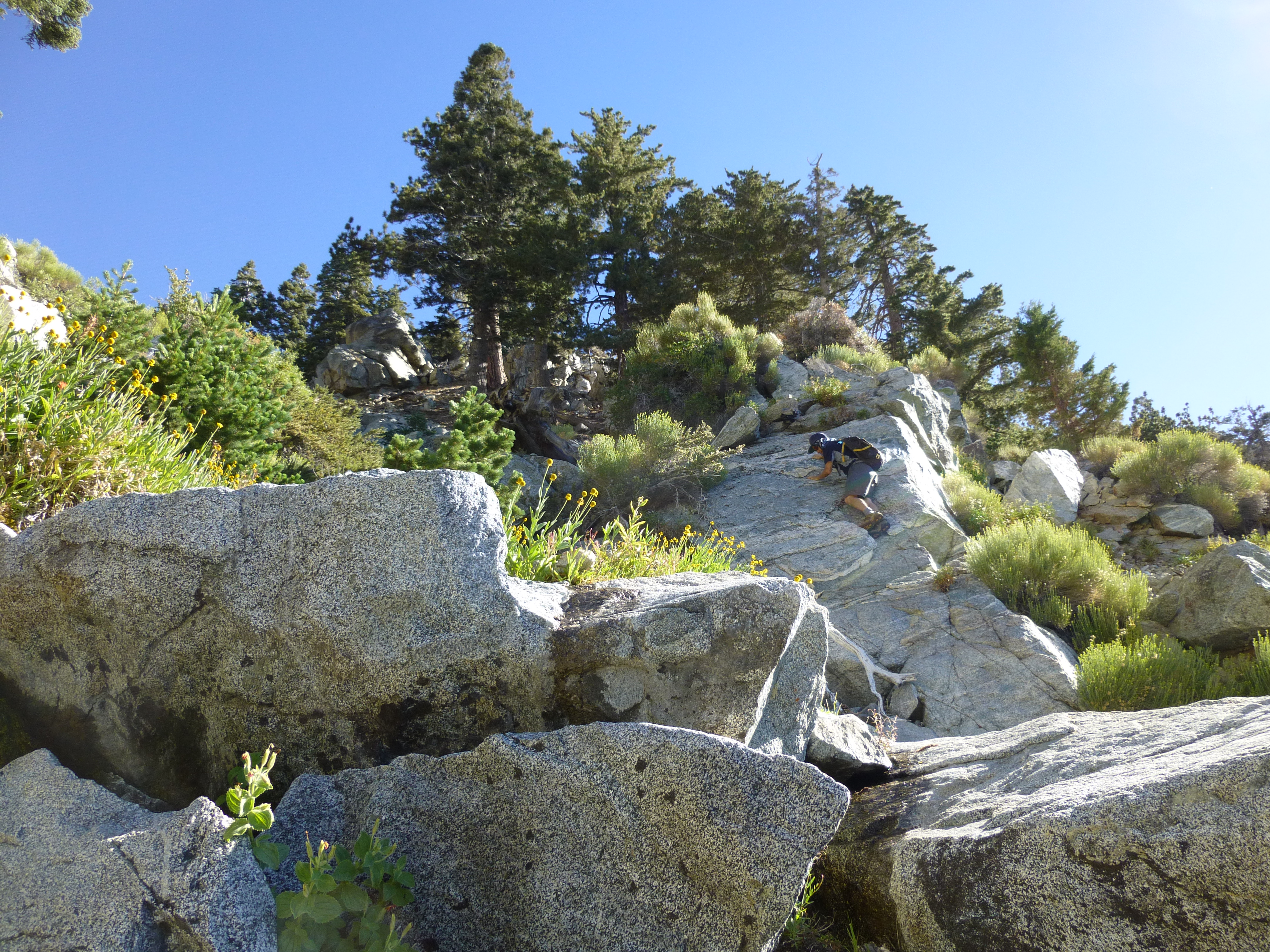
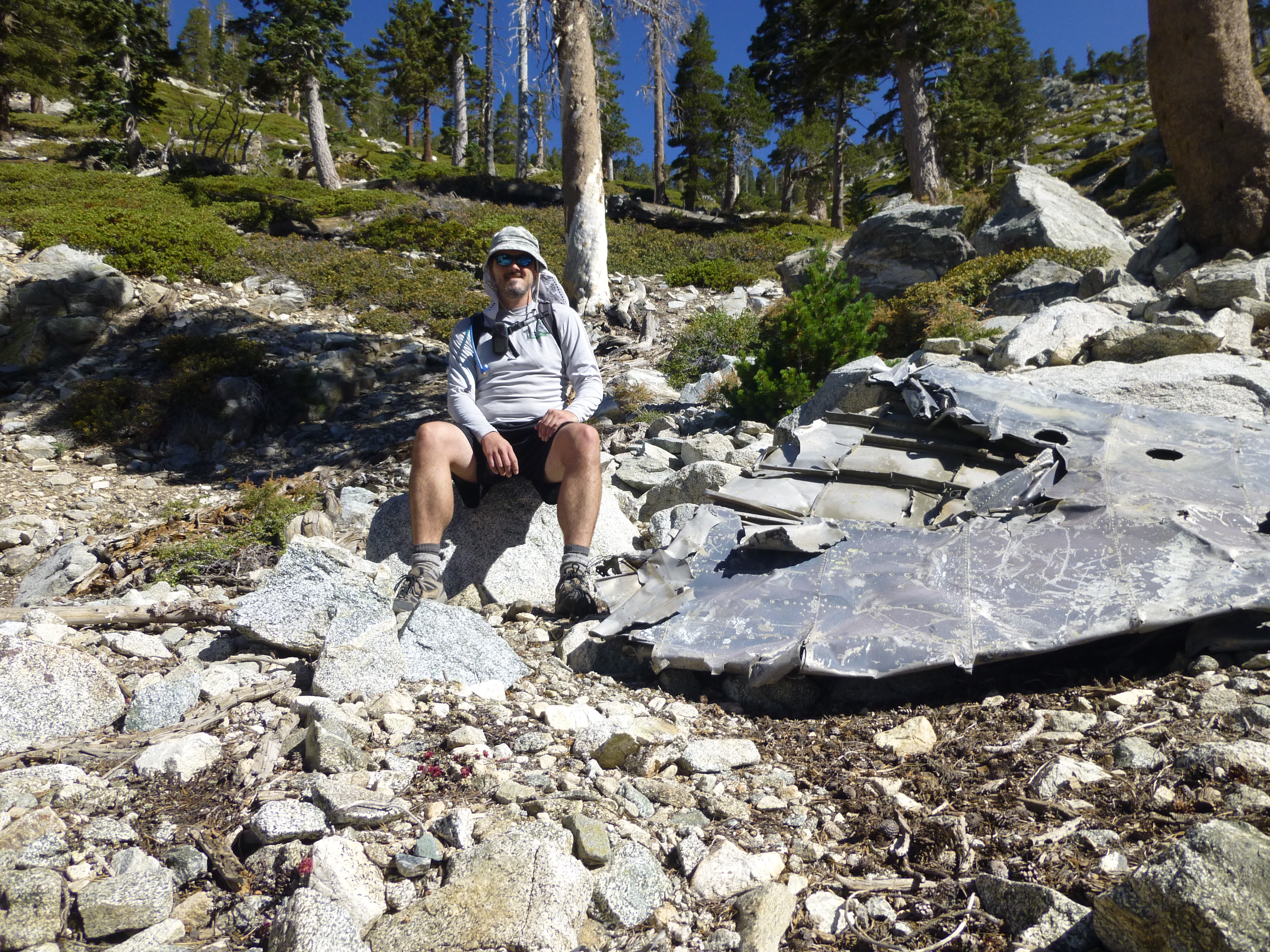
Above the water, around 8,920', we examined the plane wreckage and watched folks up on the Ski Hut Trail to the right. Then at 9,500' we started up the west slope and departed the canyon, on our way to West Baldy.
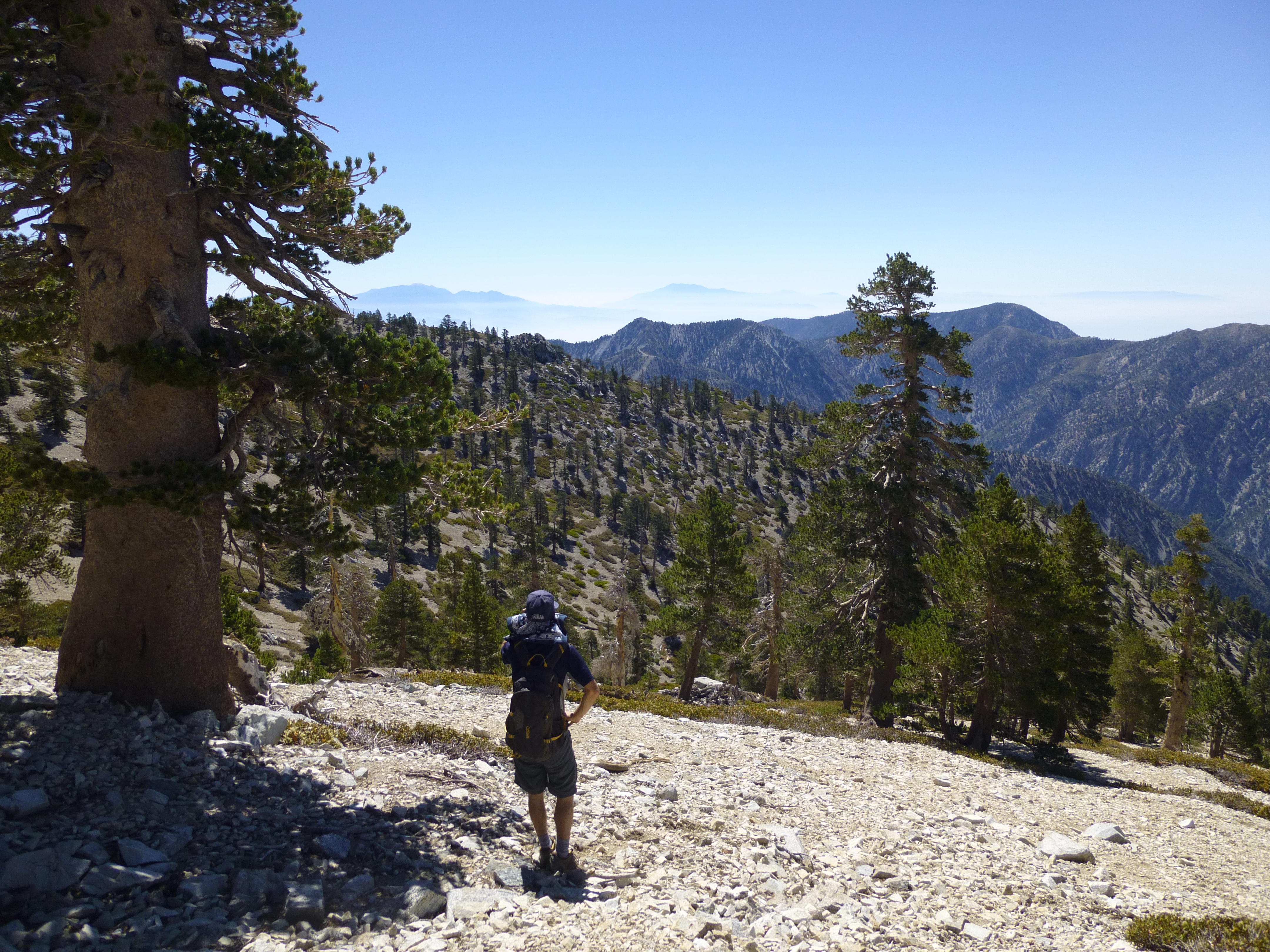
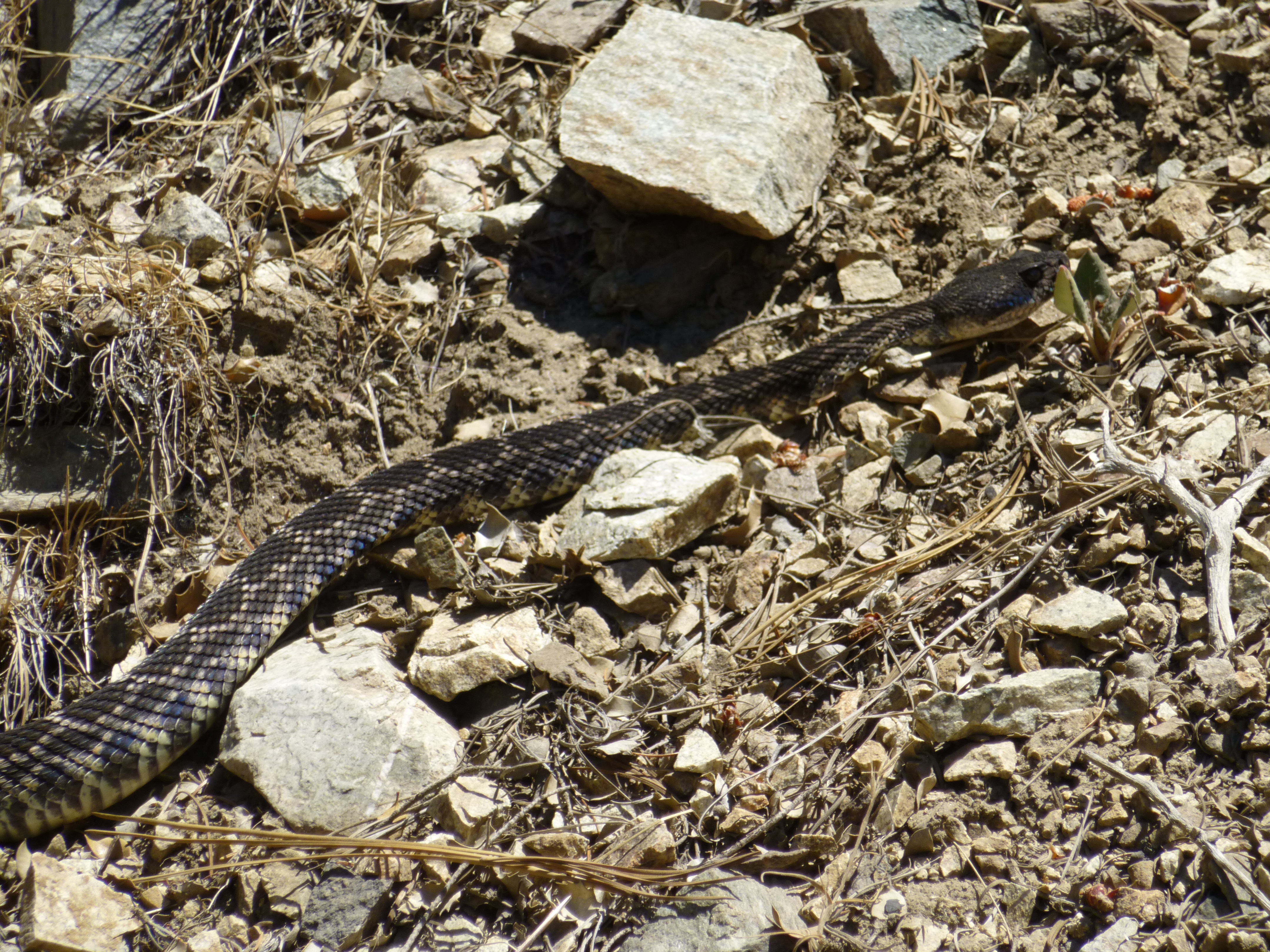
After West Baldy, we bagged Old Baldy. I had summited Baldy for the first time in August 2011 and was celebrating the two-year anniversary. It was such a clear day that we could easily see Gorgonio and Jacinto in the distance. We then returned via the Ski Hut, along the way spotting a rattlesnake crossing the trail, seemingly unconcerned by our presence.
Descending to the confluence with Good Canyon
Early Morning in Good Canyon

Airplane wreckage
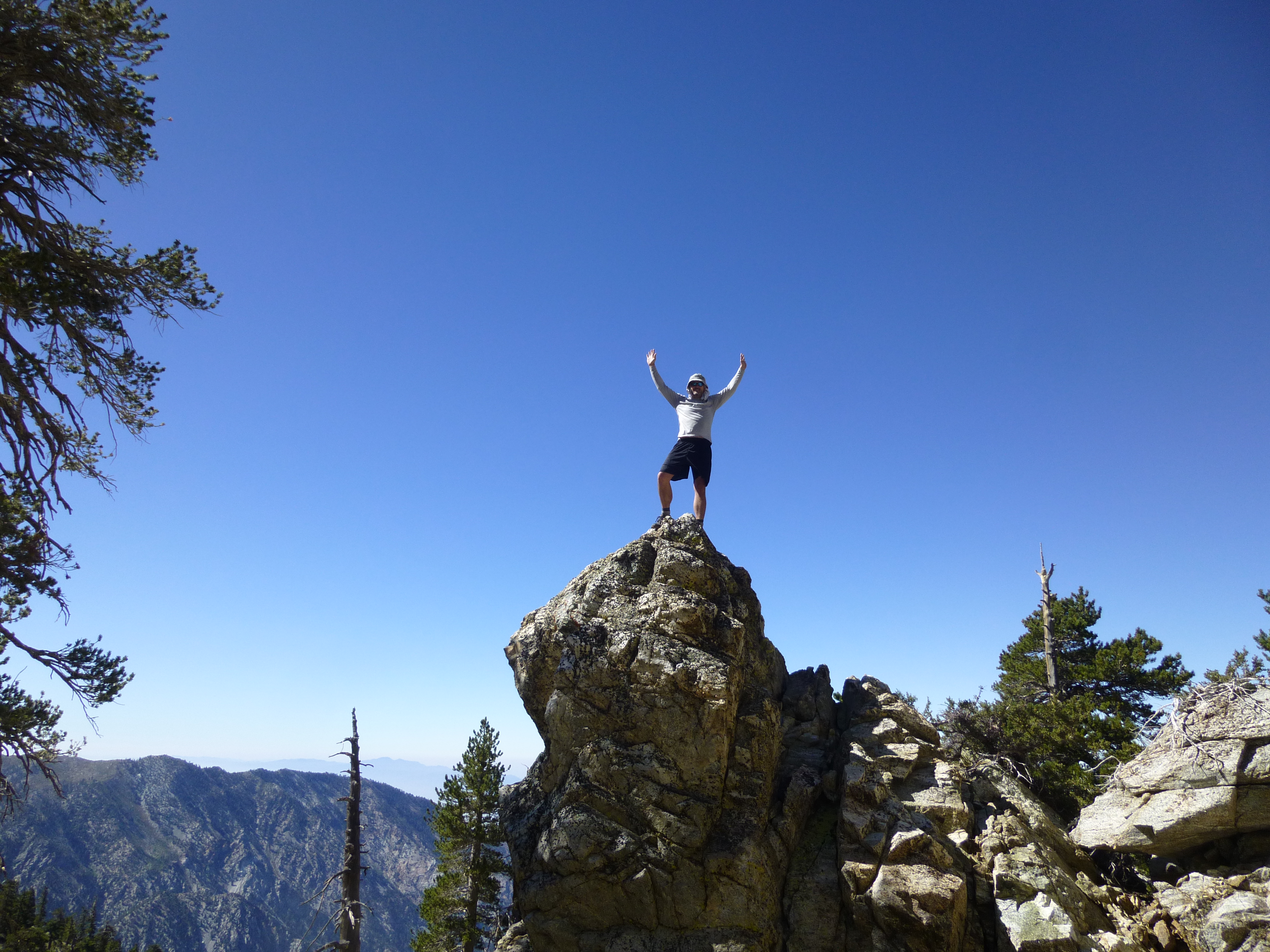
Exiting Good Canyon

We carpooled to an unpaved turnout prior to where the road divides near Manker Flats. It was right across the street from the drop-in to Big Butch Wash, around elevation 5,900'. After descending Big Butch for 320 feet, we reached the mouth of Good Canyon, our primary objective for the day.
Getting to Good Canyon was a little less than straightforward. Big Butch first hit the confluence with San Antonio Canyon, which became appealing around the 5,680-foot mark. This area, where Big Butch, San Antonio, and Good all come together, was packed with trees, making navigation slightly confusing. However, I soon realized that we had to keep descending to the next confluence at 5,580'. There, a small yellow sign affixed to a tree read: "West Valley Search & Rescue, Goode Canyon." An arrow pointed toward our objective.
I noted the spelling of the canyon. Some people put an "e" on the end, and some don't. It is my understanding, however, that the canyon was named after Dr. Harvey Good, a biology professor and former Mt. Baldy fire chief. I, therefore, do not add the "e".
Good Canyon started off with no stream. It was a mixture of small and medium boulders and some generally avoidable brush. On each side were high ridges with lots of trees. Due to our early start, the canyon was still shaded and cool.
Around 7,000' we encountered flowing water with small pools and slightly denser vegetation, including a few moss-covered rocks. The climbing increased in difficulty, achieving at least Class 3. More difficult alternative climbs were available, and we took advantage of some of them. Trees encroached upon the creekbed as we moved higher and higher upstream.
At 8,200' there was a split where we kept to the right. And at 8,320' the west fork of Good came in from the left, pouring its contents into the main branch. The area here was fairly lush with a modest stream cascading over boulders and through flower-covered banks.
Above the water, around 8,920', we examined the plane wreckage and watched folks up on the Ski Hut Trail to the right. Then at 9,500' we started up the west slope and departed the canyon, on our way to West Baldy.
After West Baldy, we bagged Old Baldy. I had summited Baldy for the first time in August 2011 and was celebrating the two-year anniversary. It was such a clear day that we could easily see Gorgonio and Jacinto in the distance. We then returned via the Ski Hut, along the way spotting a rattlesnake crossing the trail, seemingly unconcerned by our presence.
Descending to the confluence with Good Canyon
Early Morning in Good Canyon

Airplane wreckage
Exiting Good Canyon
