Pine Mountain Success, Dawson Failure

TRs for the San Gabriel Mountains.
Post Reply
User avatar
Uncle Rico
Posts: 1402
Joined: Thu Mar 20, 2008 7:48 pm

Post by Uncle Rico »

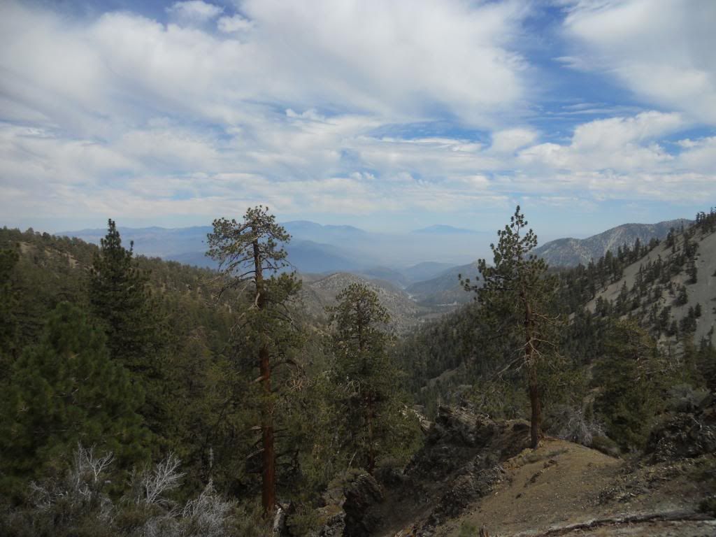
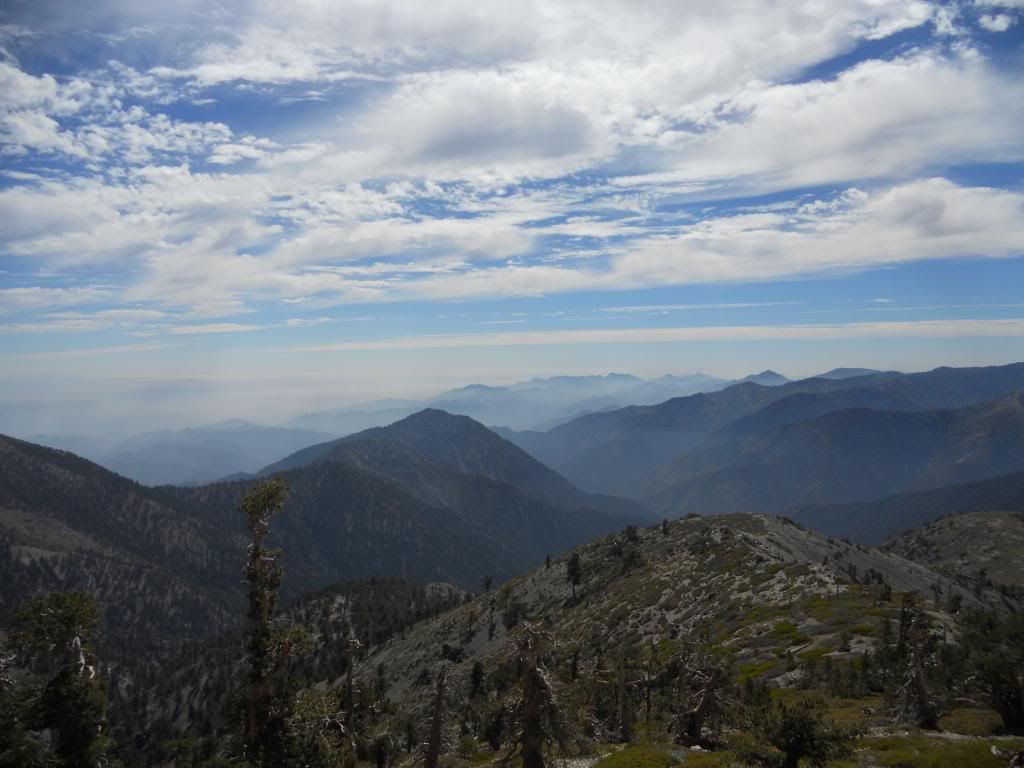
Ventured out yesterday with the objective of hitting Pine and Dawson from the north starting at Guffy. Because I got a late start, misjudged how long it would take me to drive the 6 miles from ACH to Guffy along Blue Ridge Road, and then miscalculated how demanding the North Backbone Trail was, I only made it to Pine before I had to turn back. The North Backbone is kind of fun trail, with a couple of Class 2 sections. It affords spectacular views into Prairie Fork to the west and North Fork Lytle Creek to the east. But you already knew that. Some pics.

Image
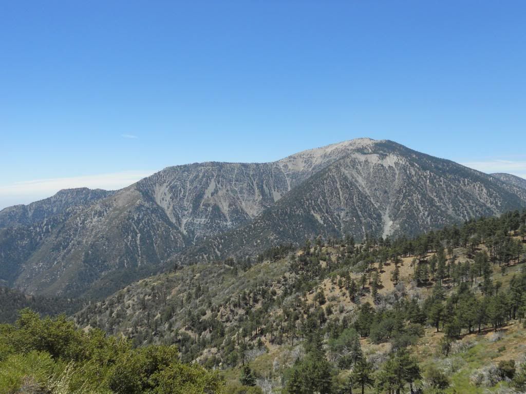
The drive in. Baden-Powell from Blue Ridge Road
Image
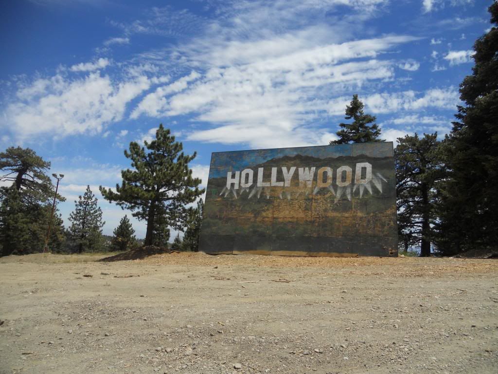
Don't forget to stop and see the Hollywood sign.
Image
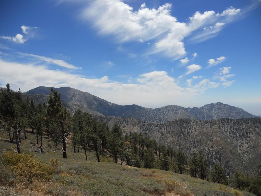
San Antonio Ridge from Blue Ridge Road (I think)
Image
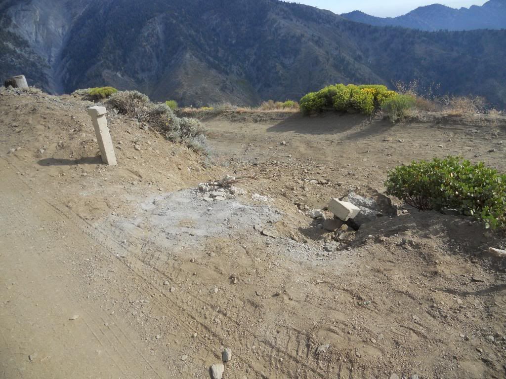
The road to Lupine is still closed for everyone except the lazy, self-entitled vandals.
Image
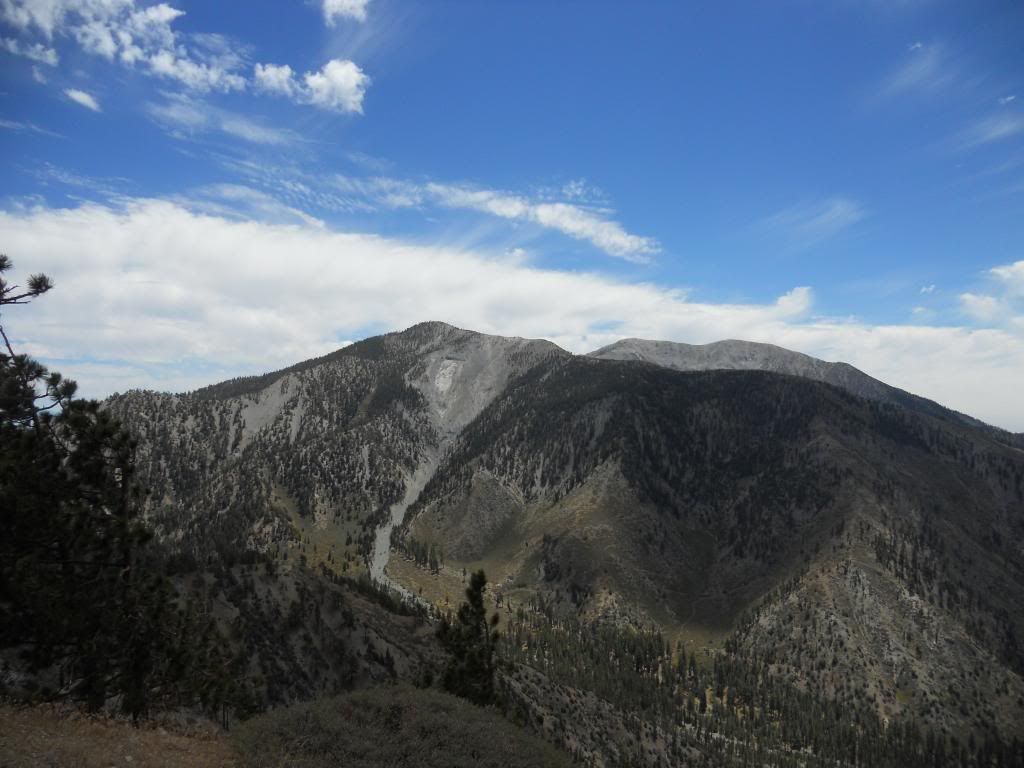
Pine Mountain from the PCT. The North Backbone Trail ascends the ridgeline on the left.
Image
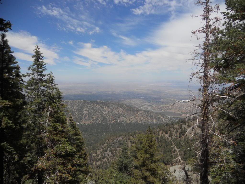
High Desert from the PCT

Image
Looking east into N. Fork Lytle Creek from the North Backbone Trail
Image
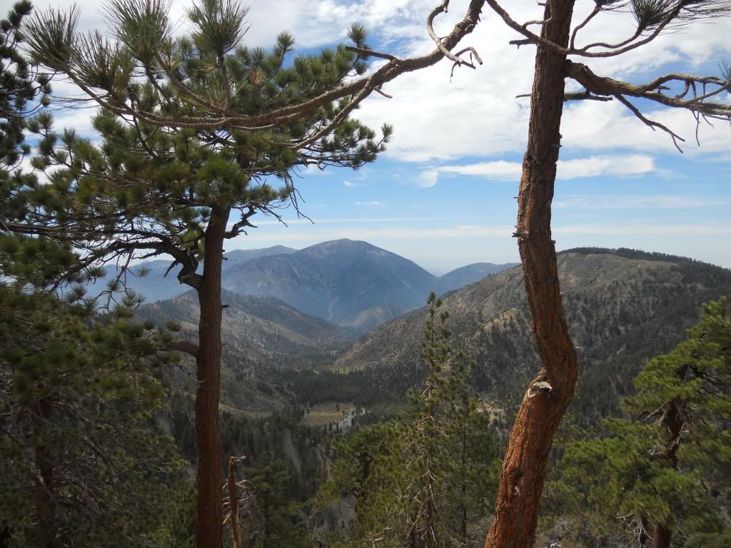
Looking West into Prairie Fork from the North Backbone Trail
Image
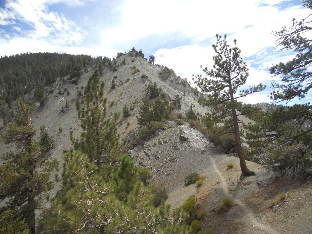
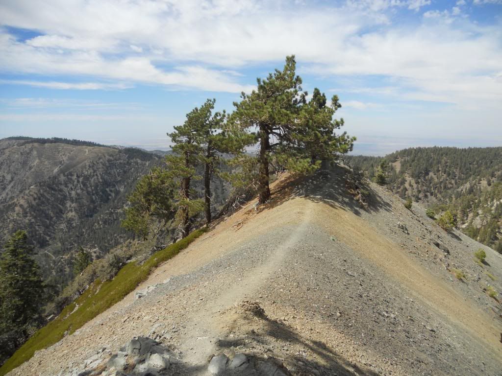
North Backbone Trail ascending the ridge
Image
More of the North Backbone Trail

Image
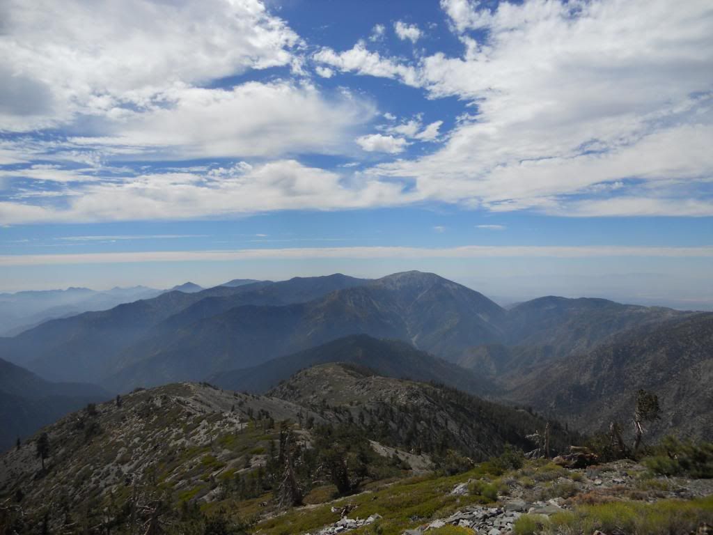
View South from the summit of Pine. I believe that is Iron at center left.
Image
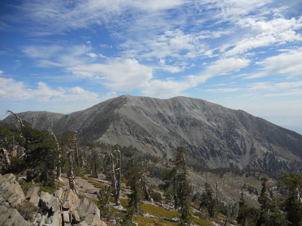
View West from the summit of Pine. Pine Mountain Ridge in the foreground, Baden-Powell in the rear.
Image
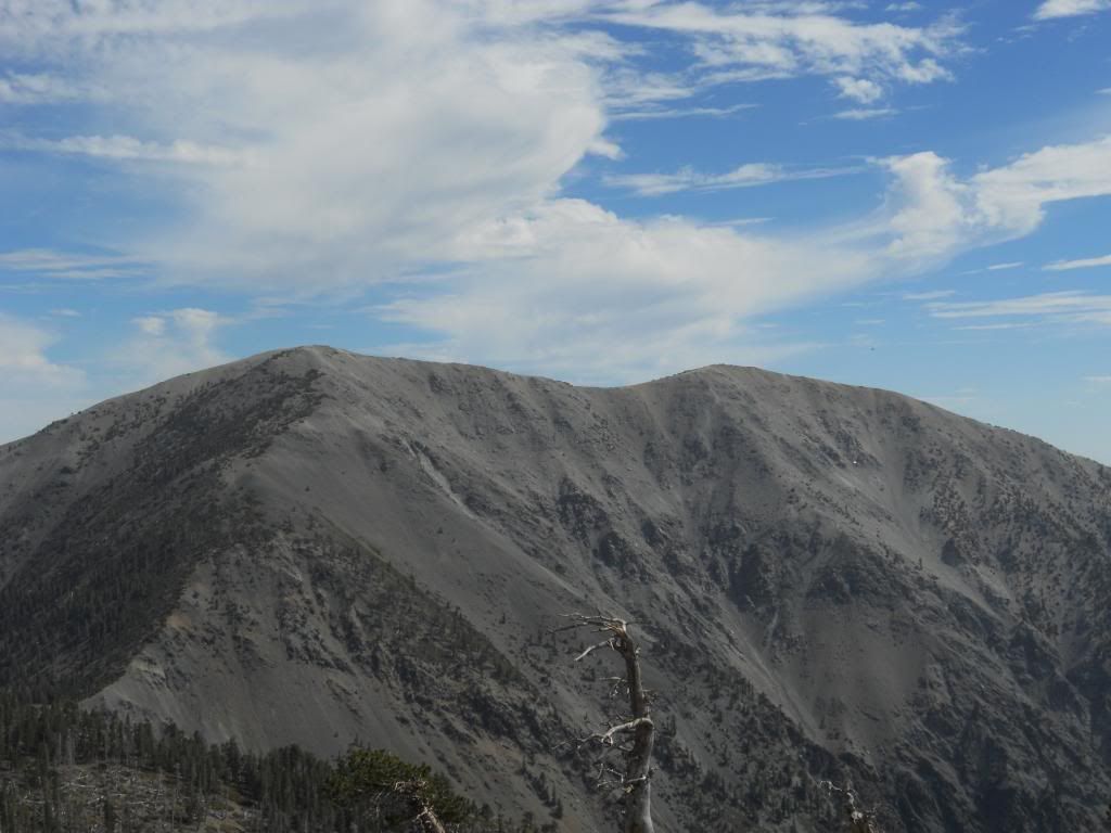
Baldy from Pine

Image
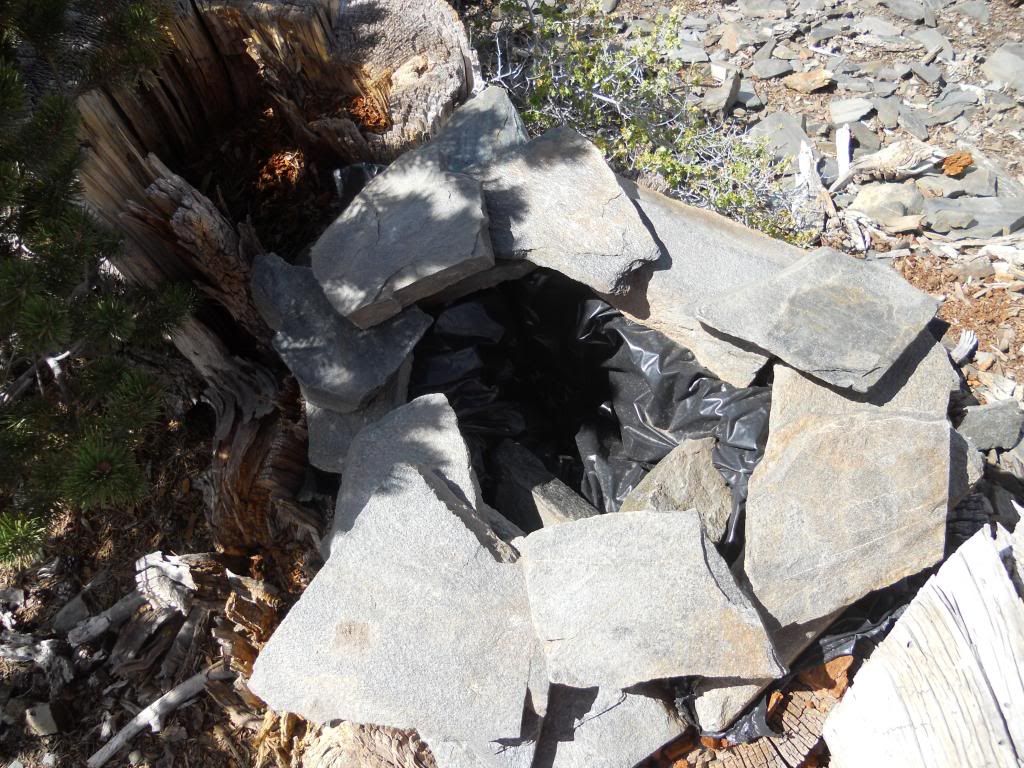
Uh, hmmmm. They could use one of these at Poopout Hill.
Image
One more Baldy view

Image
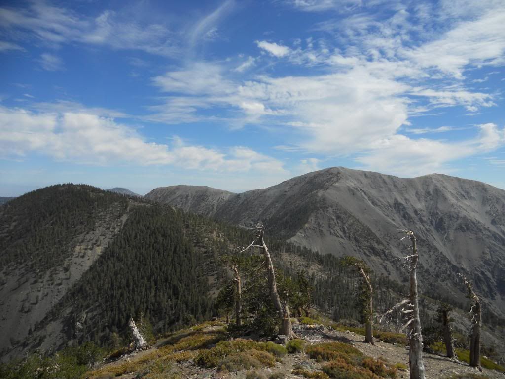
Dawson mocking me for being such a boob.
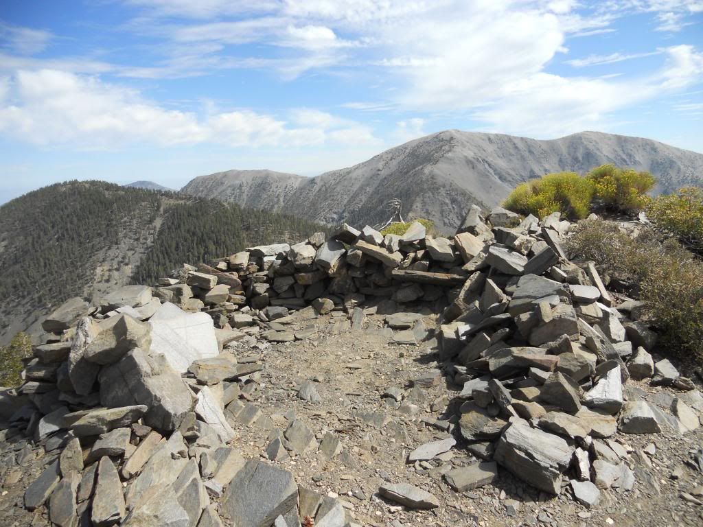
Image
Guess the shelter wreckers don't make it to Pine.
User avatar
RichardK
Posts: 727
Joined: Sun Sep 30, 2007 12:33 pm

Post by RichardK »

Nice pictures. Thanks for posting. The North Backbone may be a little too demanding for my ability. I'll have to enjoy it through your lens.
User avatar
HikeUp
Posts: 3861
Joined: Thu Sep 27, 2007 9:21 pm

Post by HikeUp »

Love that trail. For as short as it is it kicks my ass everytime. Don't know why. All your peak and ridge ID'ing is correct.

But I have one question...what's the shiny thing in your two Baldy pics?...

Image
Image
User avatar
HikeUp
Posts: 3861
Joined: Thu Sep 27, 2007 9:21 pm

Post by HikeUp »

Hmm...might be the C46

http://joeidoni.smugmug.com/Aircraft-Cr ... &k=CTRGfpG

Go to last picture of his presentation. Labels!
User avatar
Taco
Snownado survivor
Posts: 6010
Joined: Thu Sep 27, 2007 4:35 pm

Post by Taco »

Probably bits of the C46. I climbed that face/gully in winter a couple years back and got to see a few bits.
User avatar
tekewin
Posts: 1195
Joined: Thu Apr 11, 2013 5:07 pm

Post by tekewin »

Nice photos, Rico. Keep it up.

Baldy looks even more massive from the North.

You are always posting great stuff from the back range that I [eventually] plan to do, including this one. I should be able to get back there some time in September.
User avatar
Sean
Cucamonga
Posts: 3787
Joined: Wed Jul 27, 2011 12:32 pm

Post by Sean »

Nice! That's a really sweet view all the way to pointy San Gabriel Peak and flat Mt. Wilson. It's nice to know they've installed a toilet on Pine.
User avatar
Uncle Rico
Posts: 1402
Joined: Thu Mar 20, 2008 7:48 pm

Post by Uncle Rico »

Thanks guys. This is a super nice area to explore. I think I enjoyed this area more than anyplace else I've been in the San Gabes so far due to its ruggedness and remote feel. Only saw 6 other folks all day--2 day hikers along the PCT, a super fit guy and gal coming off Pine's summit as I was in sufferfest mode making my ascent, and 2 MTBer's poaching the PCT.

Btw, the topo I pulled from CalTopo appears to contain an inaccuracy. It shows the PCT going right up over the summit of Wright, but I found that not to be the case. Unless I missed the cut-off, the trail wraps around Wright's southern flank parallel to the fireroad. I scrambled to the summit of Wright (myeh) from the point just above where the North Backbone tacks south toward Pine.

@Richard and HikeUp- agree on how surprisingly stiff the ascent was. It felt like Register Ridge but more challenging and loose. I was wishing I'd brought my sticks for the descent.

@HikeUp- good catch. I didn't even see that wreckage.

@Taco- where did you access that gully on the back side of Baldy? If you approached from the north, that is no easy feat even to get there, especially in winter. And of course, that gully is long and steep. Impressive.

@teke- I like the back side a lot. The perspective and feel is different. Feels more high alpine to me than the front side. A lot less people too, probably because it take some effort to get there. And what you realize when you see some of these peaks from the north is how freakin' big they are. Baden-Powell is massive; Iron is massive; Pine is massive; Baldy is freakin' gigantic. They all have huge prominence which is really defined and visible on the north side. Pretty cool and humbling.

@Sean- who lugs that shit bag off of Pine occasionally? That has got to be a nasty job.
User avatar
Beantown
Posts: 45
Joined: Wed Mar 21, 2012 9:06 am

Post by Beantown »

Awesome! I hiked to west baldy sunday via bear creek, and was wondering about doing this hike while looking at my map and overlooking the mountains from up there!

is the guffy campground open, is it a hike in only camp or can you drive up to it? I want to do this hike from guffy to mount baldy in the future, and make an overnight camp trip out of it.

great pictures!
User avatar
Uncle Rico
Posts: 1402
Joined: Thu Mar 20, 2008 7:48 pm

Post by Uncle Rico »

Bean- Guffy is open and you can drive right up to it. The road is a little rough in places, but I made it in a Honda Civic. Both Guffy and Blue Ridge were full Saturday as best as I could tell.
User avatar
Phil B
Posts: 101
Joined: Wed Oct 03, 2007 12:47 pm

Post by Phil B »

Nice pics/report Uncle Rico, That must have been a RELIEF finding a potty, no seriously, that's a great hike, but your right driving up that road really messes up the car, still it's worth the price of a car wash to do it.

Phil
User avatar
Pat
Posts: 39
Joined: Mon Jul 21, 2008 10:11 pm

Post by Pat »

Nice pics!

We went the opposite direction yesterday, 8/4. Notch, Baldy, Dawson, Pine then down the Acorn Trail/Drive into Wrightwood where our families were waiting for us with pizza and cold drinks.

The descent from Pine was grueling, ascending has to be an a-kicker.
User avatar
Sewellymon
Posts: 97
Joined: Tue Feb 12, 2008 8:55 pm

Post by Sewellymon »

Why is the road to Lupine closed?
User avatar
Beantown
Posts: 45
Joined: Wed Mar 21, 2012 9:06 am

Post by Beantown »

Uncle Rico wrote: Bean- Guffy is open and you can drive right up to it. The road is a little rough in places, but I made it in a Honda Civic. Both Guffy and Blue Ridge were full Saturday as best as I could tell.
Thanks Rico. My friend and I are planning for Sunday. Where do you park the local hikes says parking is tough. Does the road go right up to the trail head or park at guffy, my map shoes it goes to the th? My jeep won't have a problem on a bumpy road :)
User avatar
Uncle Rico
Posts: 1402
Joined: Thu Mar 20, 2008 7:48 pm

Post by Uncle Rico »

Why is the road to Lupine closed?
Swelly- sounds like the forest service is still working to repair portions of the road at least down to Lupine. Doesn't sound like there is any immediate plan to officially open the road to vehicle travel past Lupine any time soon. See the Big Pines Ranger Station post of July 14 here:

https://www.facebook.com/pages/Big-Pine ... 5338620103
Where do you park the local hikes says parking is tough. Does the road go right up to the trail head or park at guffy, my map shoes it goes to the th?
Bean- just past the intersection with the road down to Lupine, and before you enter the campground loop, there is a turn-out on the right big enough for 2-3 vehicles. I parked here and walked down the road to Lupine to access the PCT. You also may be able to park in the campground and hit the PCT from the east side, but I didn't do that because all of the campsites were occupied. Adventure Pass required.
User avatar
ur2slo
Posts: 95
Joined: Sat Jun 29, 2013 12:34 am

Post by ur2slo »

Uncle Rico wrote: Bean- Guffy is open and you can drive right up to it. The road is a little rough in places, but I made it in a Honda Civic. Both Guffy and Blue Ridge were full Saturday as best as I could tell.
Great pic's, and narrative...I was based at guffy,but down mine gulch way that week, so that WAS that was you on the top I got a glimpse of? lol

From last conversation with FS Ranger, the road to Lupine will be opened soon. He's got a dozer scheduled, but the fire season has hit and every time it's supposed to show up, the past fires have hit..........And yea, I sure love the hike up, 50 lbs, 5-6 miles nasty uphill grade, (for this ole fart) and A FRIGGEN RANGE ROVER driving by, asking me how cabin flat is! jeez..... fools, CDF crew just installed the stanchions two weeks before............

Again, nice job..
Post Reply