Manker to Coldwater XC Loop
Posted: Mon Jul 29, 2013 12:29 pm
Brad, Michelle, Willie, and I started from Manker Flat at 6:40 AM. We made our way up broad, boulder-strewn Big Butch Wash, passing a weak but still active spring around 6,920'. Around this same elevation the canyon turned left, becoming narrow with some large plants to push through while climbing between cliff walls. Soon that all gave way to an easy stroll into Miners Bowl and the ski resort area.
We breakfasted at the Notch restaurant. It had taken us 70 minutes to climb the 1700' up Big Butch. By 8:40 our bellies were full, and we moved down the Baldy Road east of the Notch, toward Coldwater Canyon.
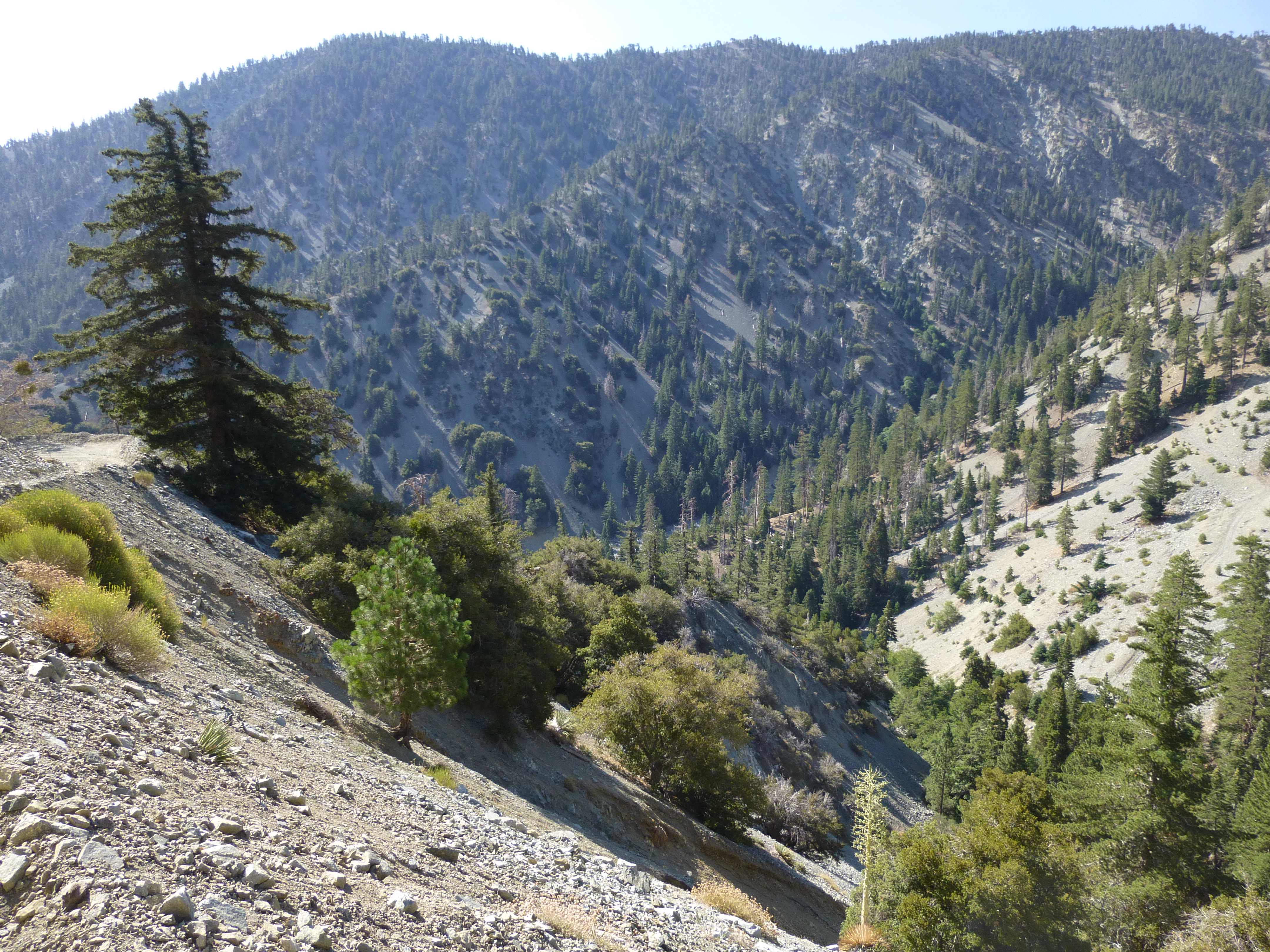
After 2.2 miles, the dirt road bent to the north on its way to Stockton Flat, providing a nice panoramic scene of the distant desert. Here we abandoned the Baldy Road and dropped steeply southward down a ridge. We continued down and to the left, briefly utilizing an abandoned, rock-covered roadbed. After dropping 500 feet, we finally reached the stream in Coldwater Canyon at elevation 6,280'.
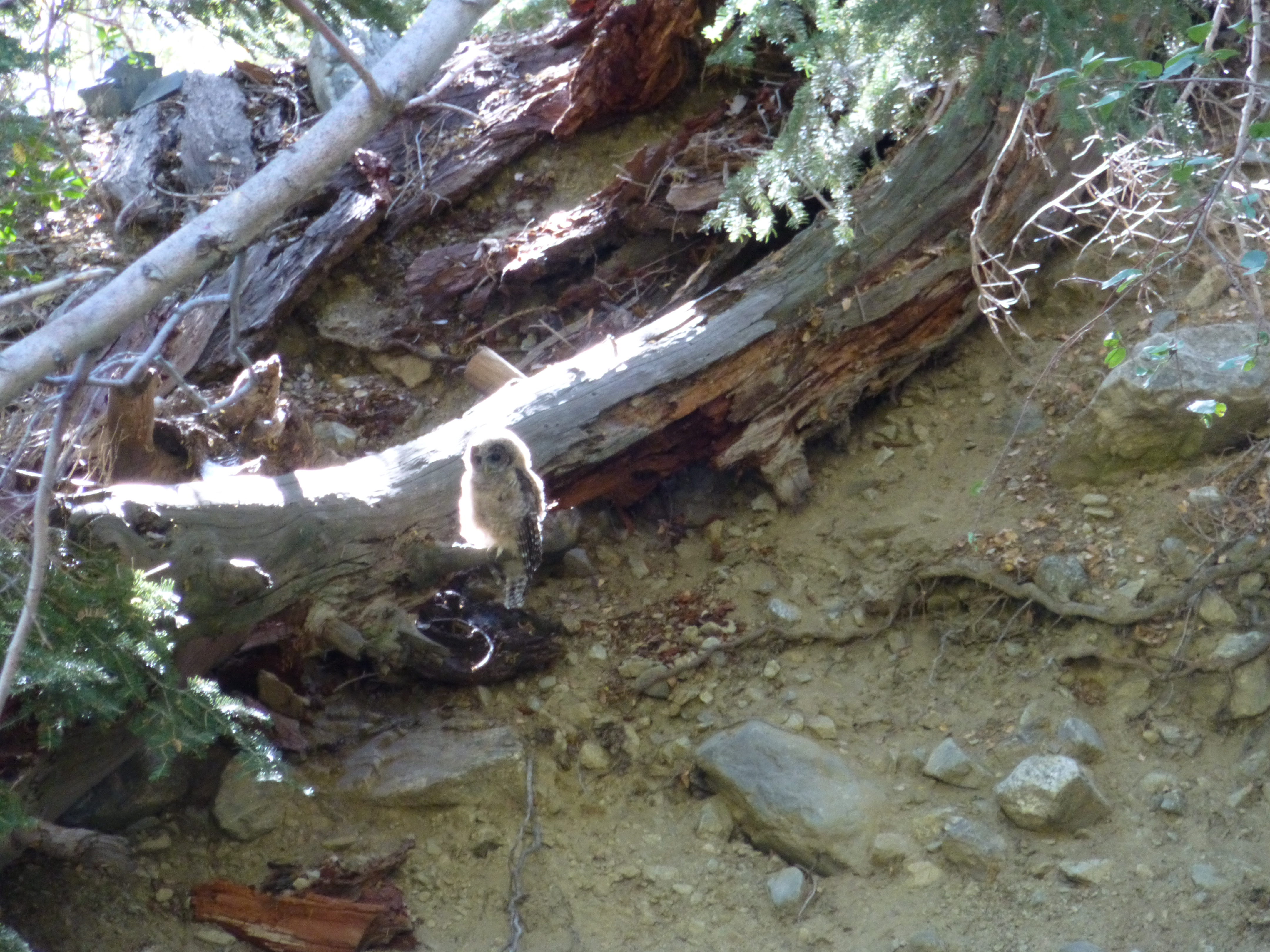
While taking a break, an owl was spotted sitting on a log across the stream. It glowed magically, perfectly back-lit by the morning sun.
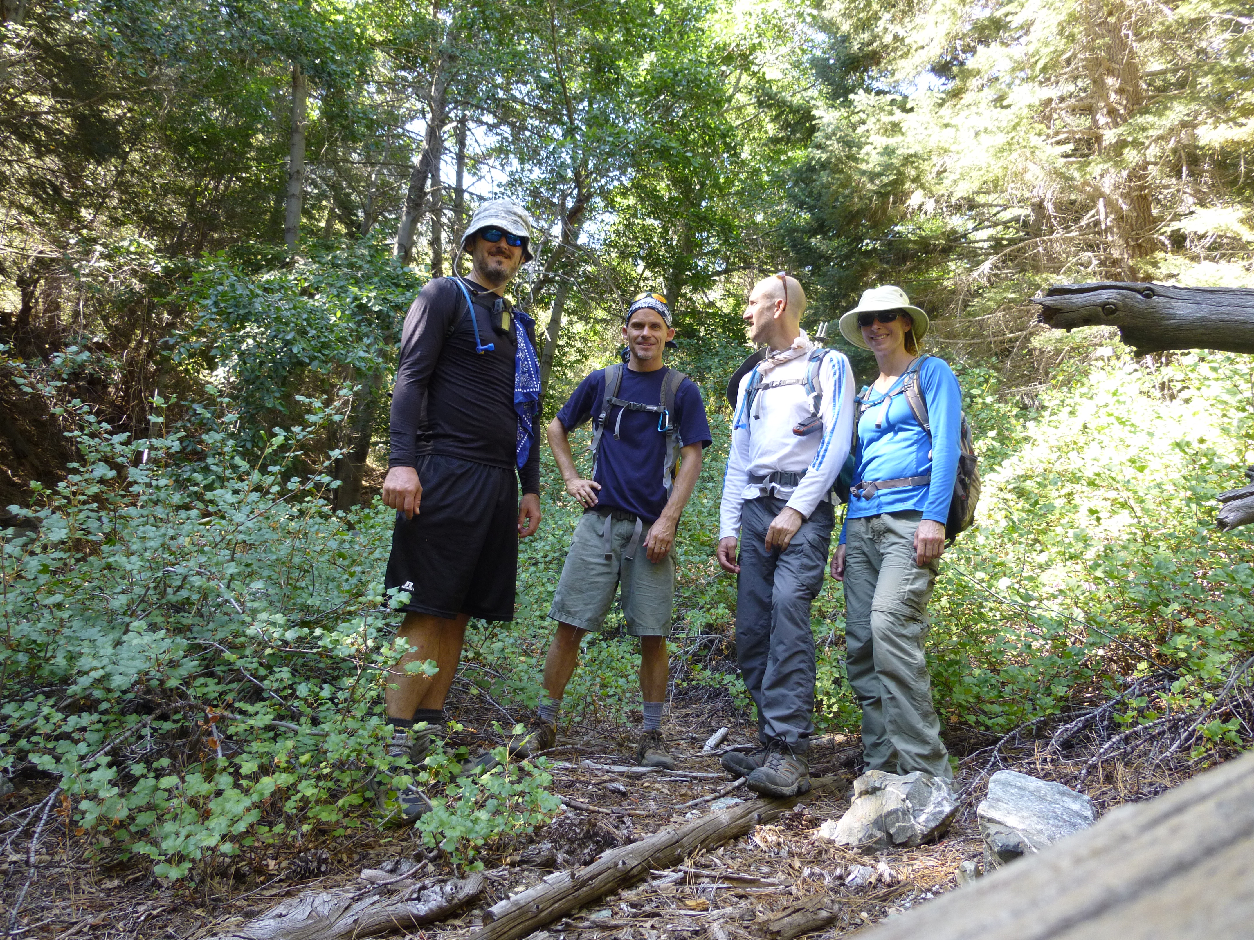
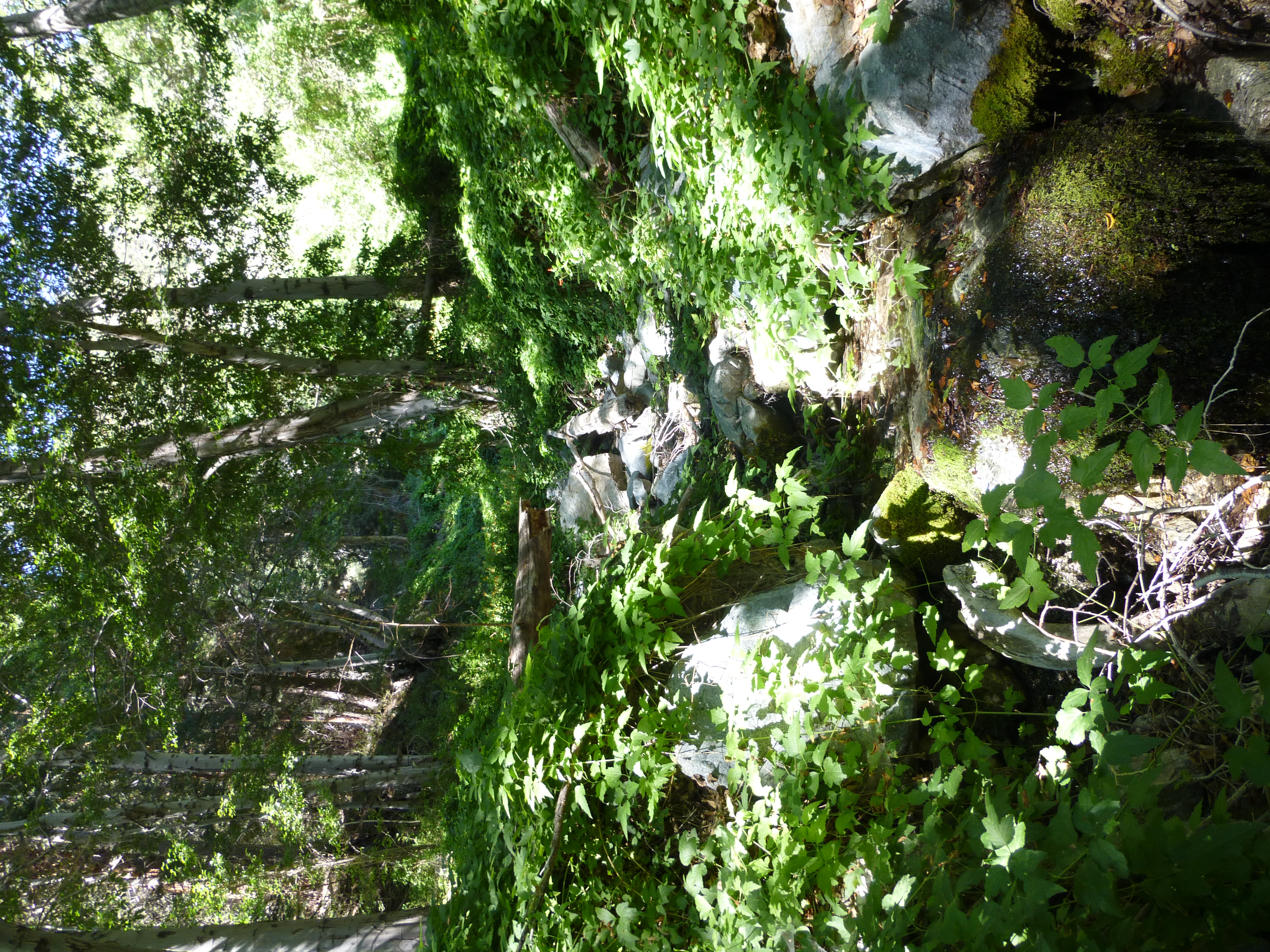
At 9:45 we began our ascent of Coldwater. The lower portion of this canyon was beautifully green and cool under the tall trees. Undergrowth was fairly dense, but I didn't spot any poison oak. The midsummer stream was still very much alive, coursing through plant-covered boulders.
I initially led us up the wrong stream, a tributary that arrives from the west. The place was like a jungle, making navigation a bit tricky. But after a short distance we re-encountered the abandoned road and, turning south, quickly regained Coldwater.
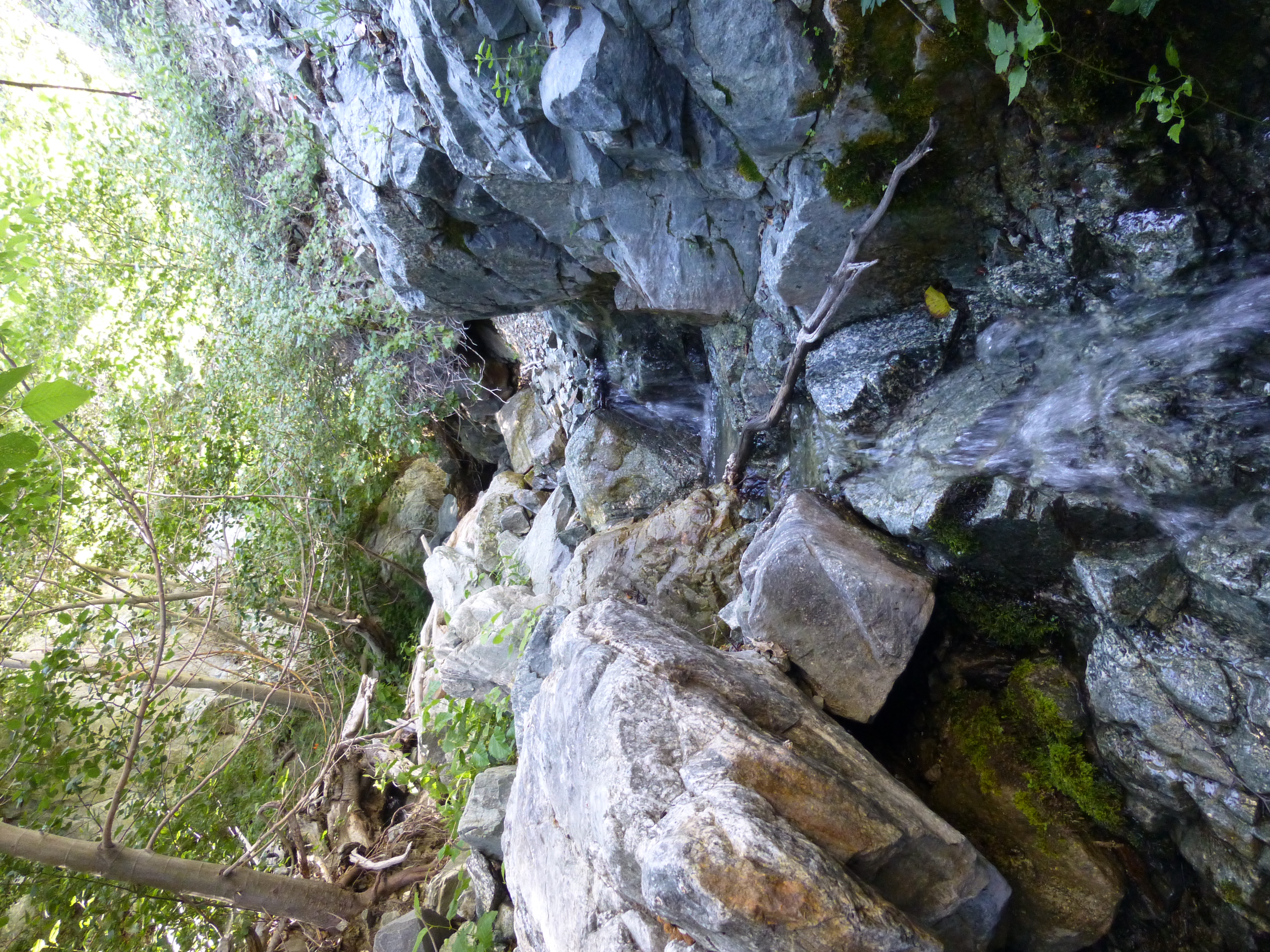
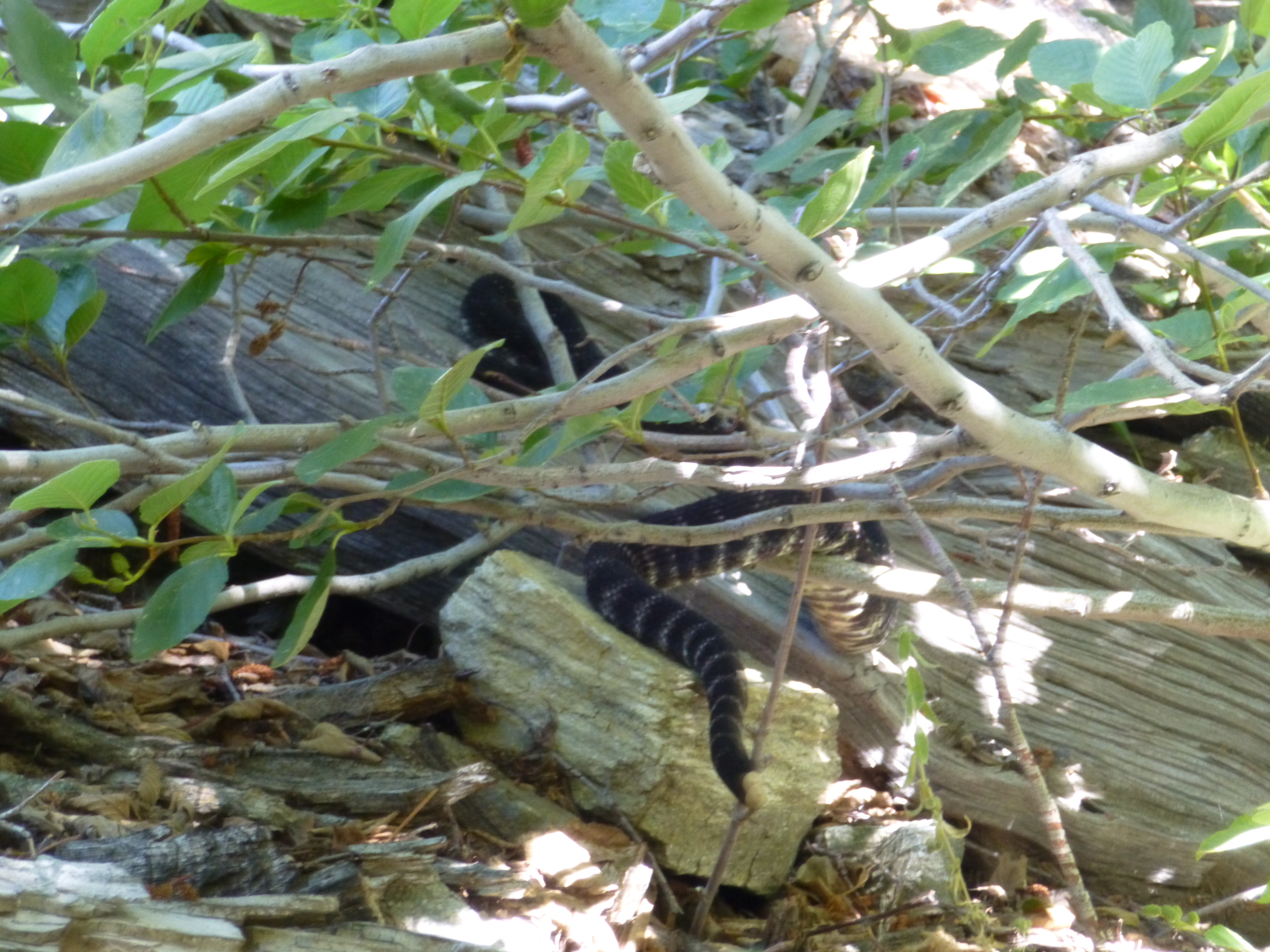
The road climbed a bit before petering out around 6,560'. Next there was some scrambling on slick boulders, dodging of branches, and skirting along the steep banks. A rattlesnake politely warned us of his presence before slithering under a log.
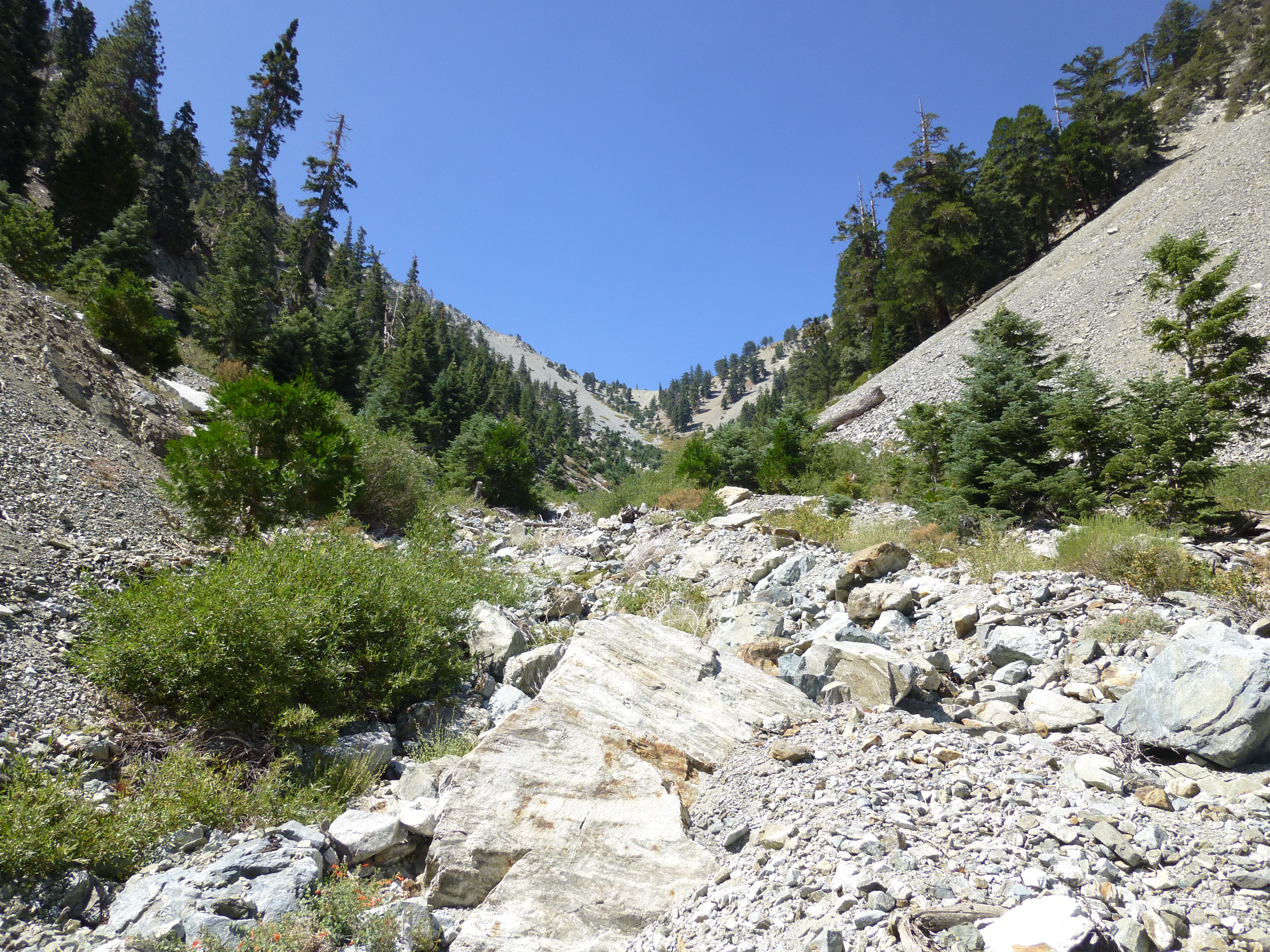
Near the 6,840-foot mark we popped out of the wet, narrow jungle and into a hot, dry, open canyon of rocks upon rocks. The Telegraph/Thunder saddle, where Coldwater begins, could be seen in the distance, a mere 0.9 miles and 1,400' of gain away.
By 12:11 PM we were resting at the saddle under a tree, looking down on our route, eating cheese and crackers.
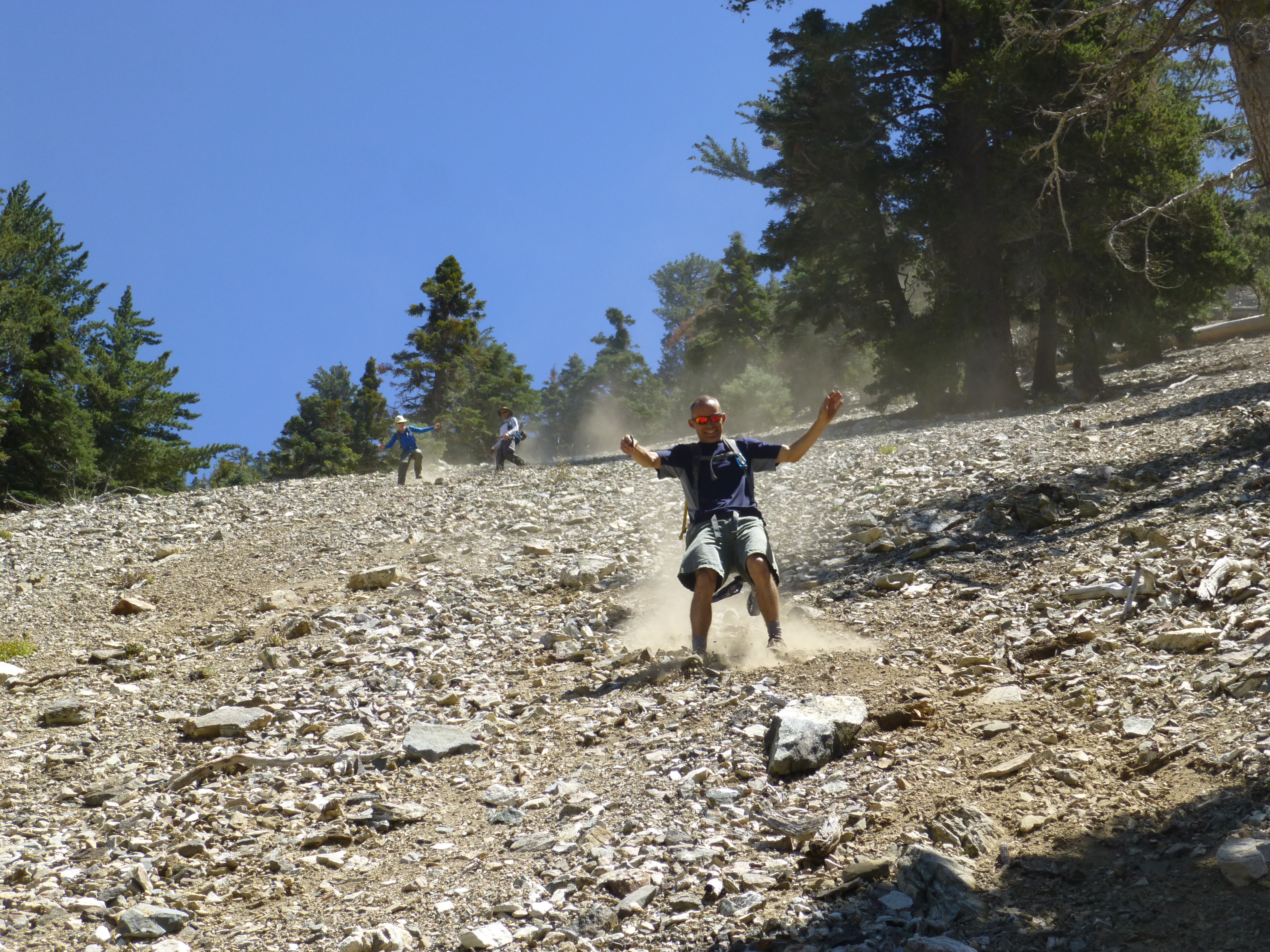
Our final leg took us down Thunder Ridge, negotiating some exposed rocks along the narrow spine. Then we returned to Manker by scree-surfing down Movie Slope, which was part of the original Mt. Baldy Ski Tows attraction.
Our day ended by 2:10 PM. In total the loop amounted to 8.6 miles with 4,025' gained. The GPS track is here.
Where Big Butch turns left and narrows

About to leave Baldy Road and head down-ridge to Coldwater
Preparing to ascend Coldwater Canyon
Magical Owl
Lush Coldwater Canyon tributary
Scrambling up the main canyon
Rattlesnake!
Dry wash up to Telegraph/Thunder saddle
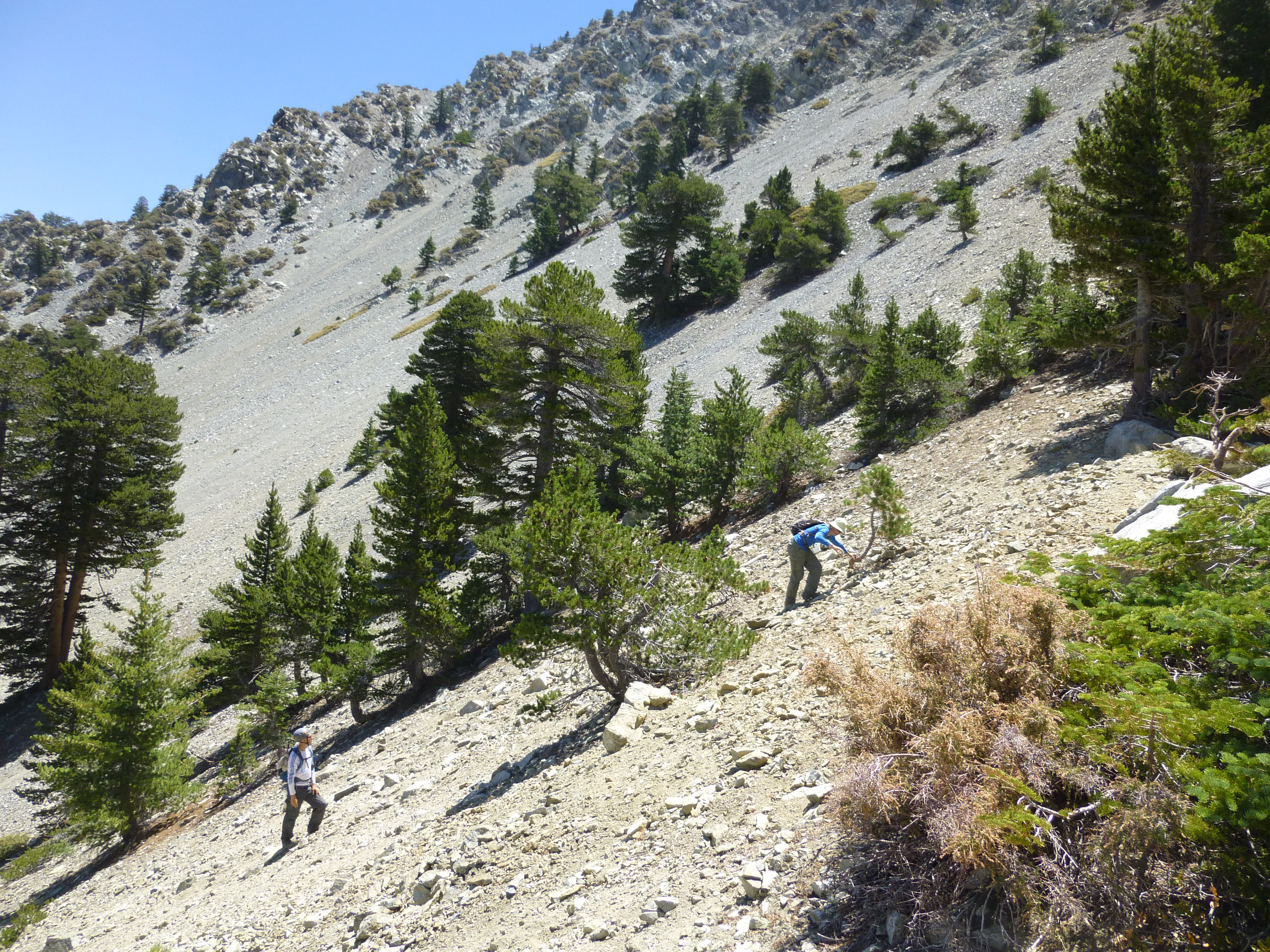
Scrambling up the headwall
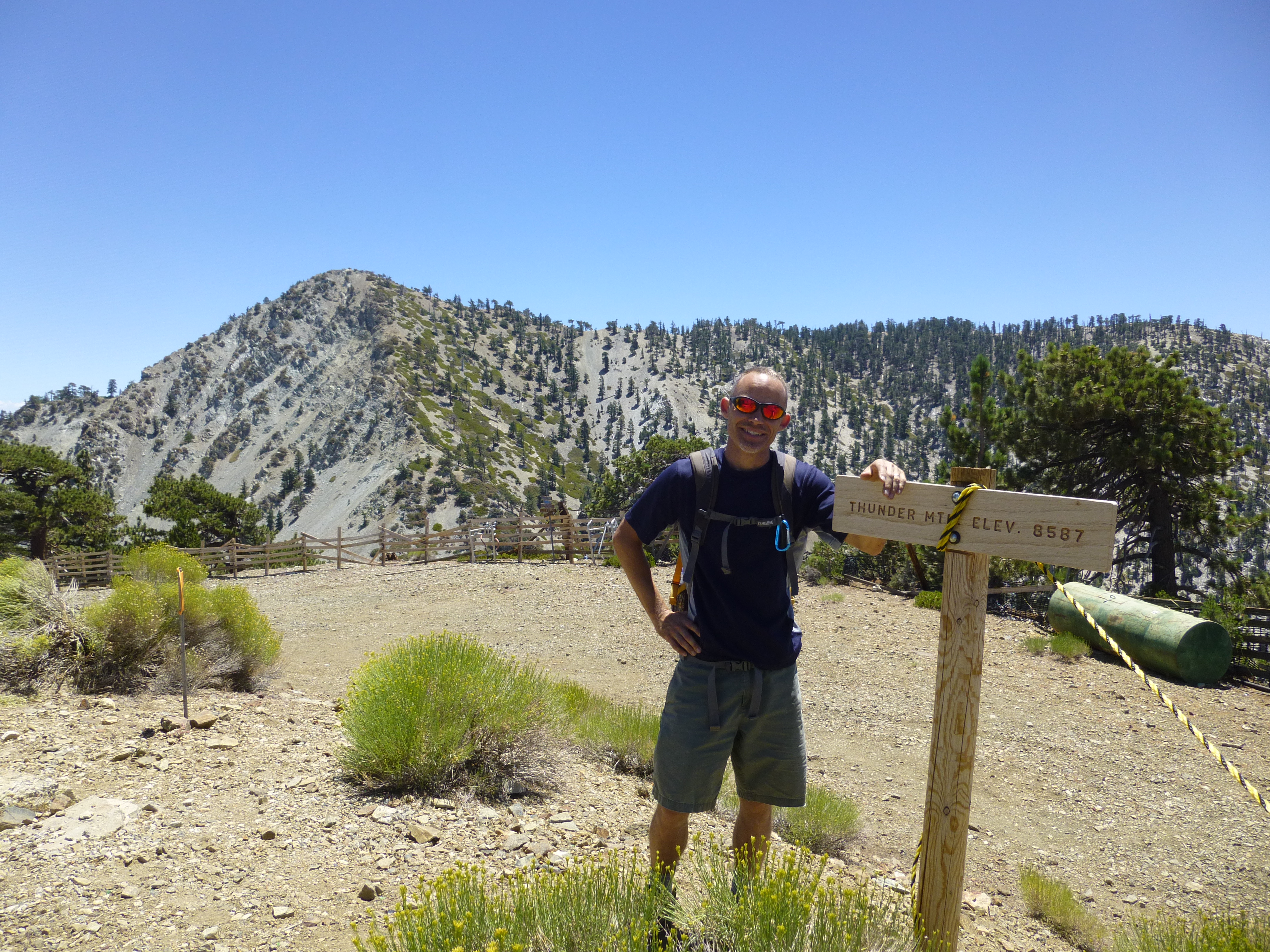
Tagging Thunder Mtn
Coming down Thunder Ridge
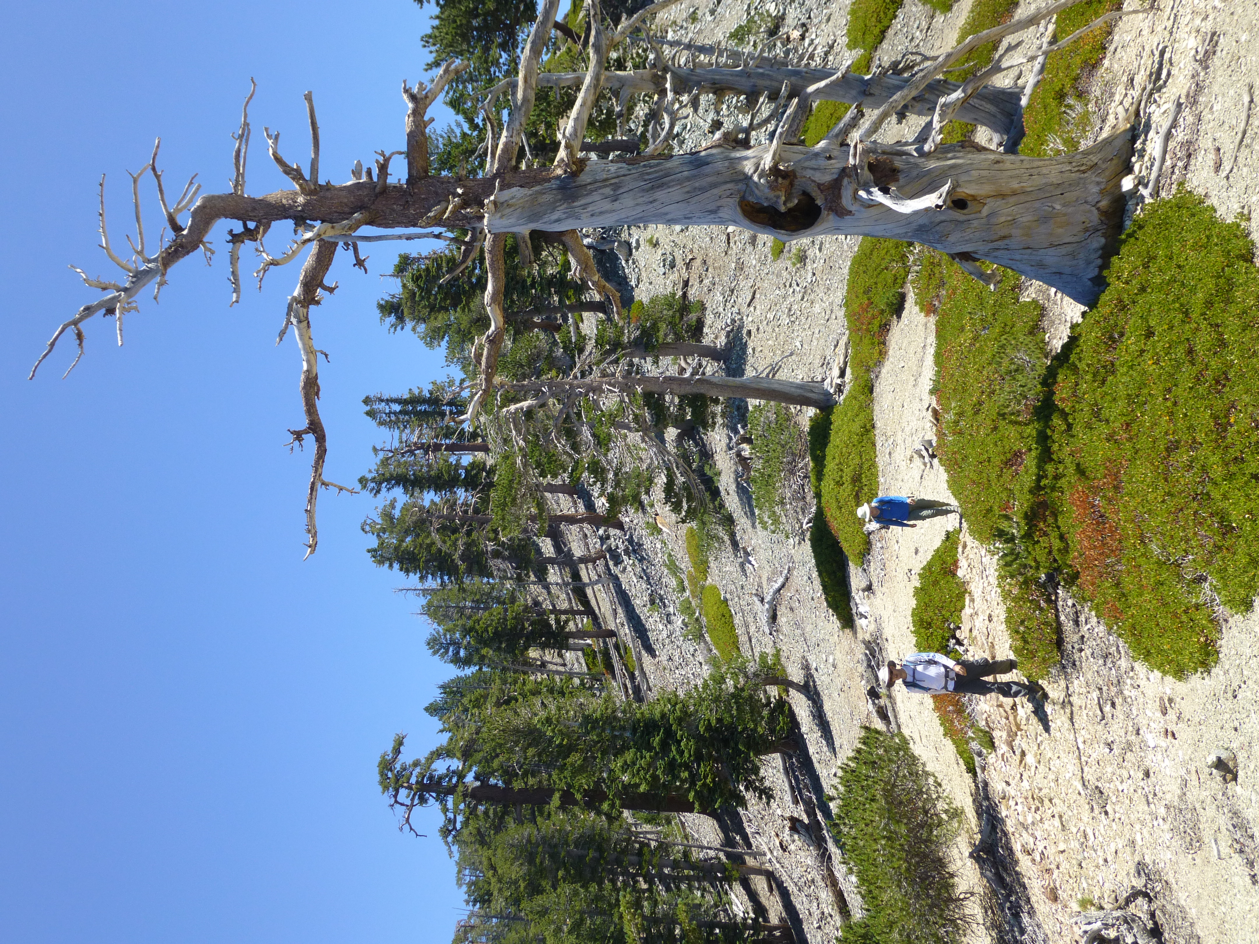
More Thunder Ridge

Surfing down Movie Slope
We breakfasted at the Notch restaurant. It had taken us 70 minutes to climb the 1700' up Big Butch. By 8:40 our bellies were full, and we moved down the Baldy Road east of the Notch, toward Coldwater Canyon.
After 2.2 miles, the dirt road bent to the north on its way to Stockton Flat, providing a nice panoramic scene of the distant desert. Here we abandoned the Baldy Road and dropped steeply southward down a ridge. We continued down and to the left, briefly utilizing an abandoned, rock-covered roadbed. After dropping 500 feet, we finally reached the stream in Coldwater Canyon at elevation 6,280'.
While taking a break, an owl was spotted sitting on a log across the stream. It glowed magically, perfectly back-lit by the morning sun.
At 9:45 we began our ascent of Coldwater. The lower portion of this canyon was beautifully green and cool under the tall trees. Undergrowth was fairly dense, but I didn't spot any poison oak. The midsummer stream was still very much alive, coursing through plant-covered boulders.
I initially led us up the wrong stream, a tributary that arrives from the west. The place was like a jungle, making navigation a bit tricky. But after a short distance we re-encountered the abandoned road and, turning south, quickly regained Coldwater.
The road climbed a bit before petering out around 6,560'. Next there was some scrambling on slick boulders, dodging of branches, and skirting along the steep banks. A rattlesnake politely warned us of his presence before slithering under a log.
Near the 6,840-foot mark we popped out of the wet, narrow jungle and into a hot, dry, open canyon of rocks upon rocks. The Telegraph/Thunder saddle, where Coldwater begins, could be seen in the distance, a mere 0.9 miles and 1,400' of gain away.
By 12:11 PM we were resting at the saddle under a tree, looking down on our route, eating cheese and crackers.
Our final leg took us down Thunder Ridge, negotiating some exposed rocks along the narrow spine. Then we returned to Manker by scree-surfing down Movie Slope, which was part of the original Mt. Baldy Ski Tows attraction.
Our day ended by 2:10 PM. In total the loop amounted to 8.6 miles with 4,025' gained. The GPS track is here.
Where Big Butch turns left and narrows
About to leave Baldy Road and head down-ridge to Coldwater
Preparing to ascend Coldwater Canyon
Magical Owl
Lush Coldwater Canyon tributary
Scrambling up the main canyon
Rattlesnake!
Dry wash up to Telegraph/Thunder saddle
Scrambling up the headwall
Tagging Thunder Mtn
Coming down Thunder Ridge
More Thunder Ridge

Surfing down Movie Slope

