Manker to Coldwater XC Loop

TRs for the San Gabriel Mountains.
Post Reply
User avatar
Sean
Cucamonga
Posts: 3903
Joined: Wed Jul 27, 2011 12:32 pm

Post by Sean »

Brad, Michelle, Willie, and I started from Manker Flat at 6:40 AM. We made our way up broad, boulder-strewn Big Butch Wash, passing a weak but still active spring around 6,920'. Around this same elevation the canyon turned left, becoming narrow with some large plants to push through while climbing between cliff walls. Soon that all gave way to an easy stroll into Miners Bowl and the ski resort area.

We breakfasted at the Notch restaurant. It had taken us 70 minutes to climb the 1700' up Big Butch. By 8:40 our bellies were full, and we moved down the Baldy Road east of the Notch, toward Coldwater Canyon.

After 2.2 miles, the dirt road bent to the north on its way to Stockton Flat, providing a nice panoramic scene of the distant desert. Here we abandoned the Baldy Road and dropped steeply southward down a ridge. We continued down and to the left, briefly utilizing an abandoned, rock-covered roadbed. After dropping 500 feet, we finally reached the stream in Coldwater Canyon at elevation 6,280'.

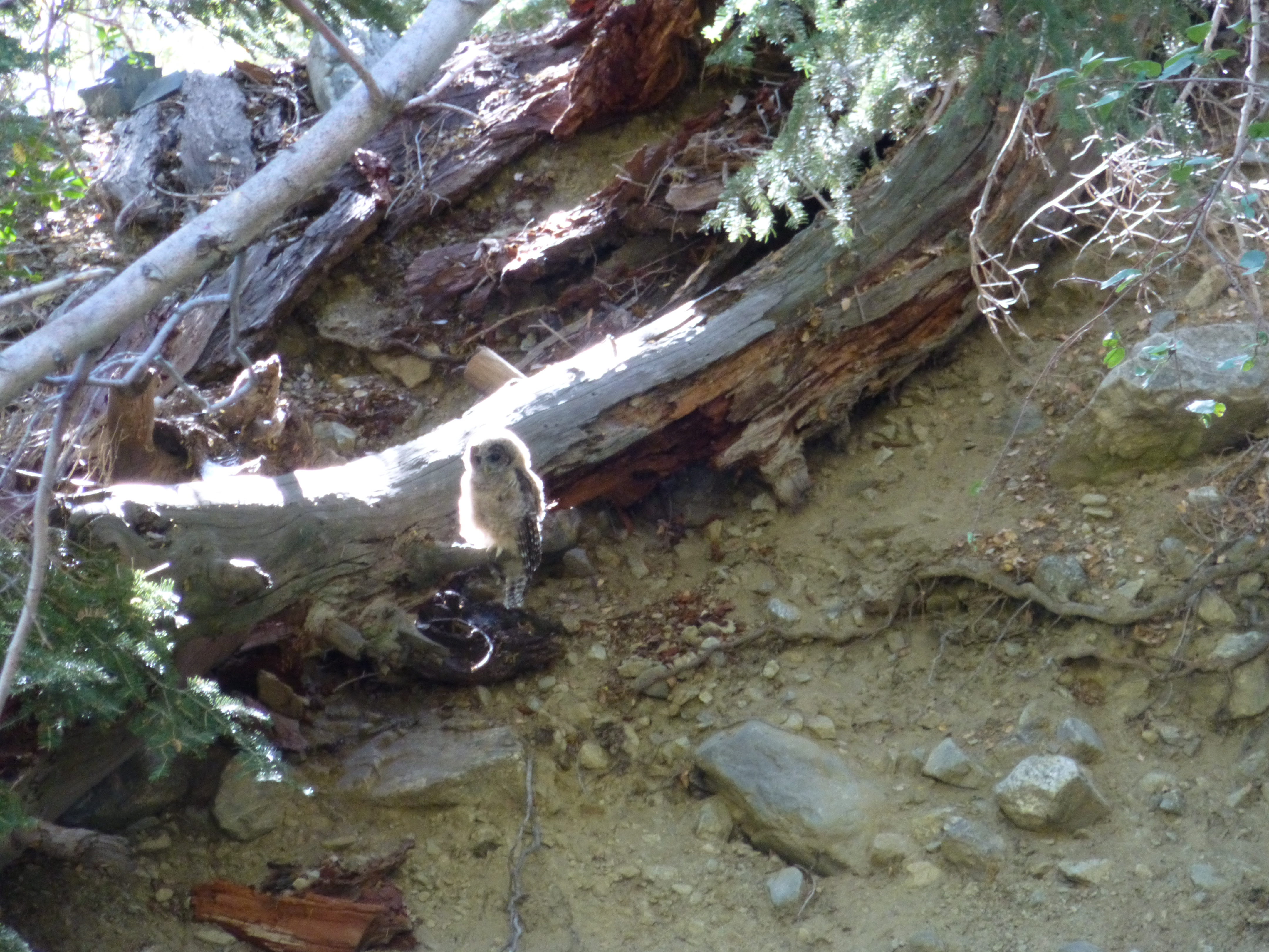
While taking a break, an owl was spotted sitting on a log across the stream. It glowed magically, perfectly back-lit by the morning sun.

At 9:45 we began our ascent of Coldwater. The lower portion of this canyon was beautifully green and cool under the tall trees. Undergrowth was fairly dense, but I didn't spot any poison oak. The midsummer stream was still very much alive, coursing through plant-covered boulders.

I initially led us up the wrong stream, a tributary that arrives from the west. The place was like a jungle, making navigation a bit tricky. But after a short distance we re-encountered the abandoned road and, turning south, quickly regained Coldwater.

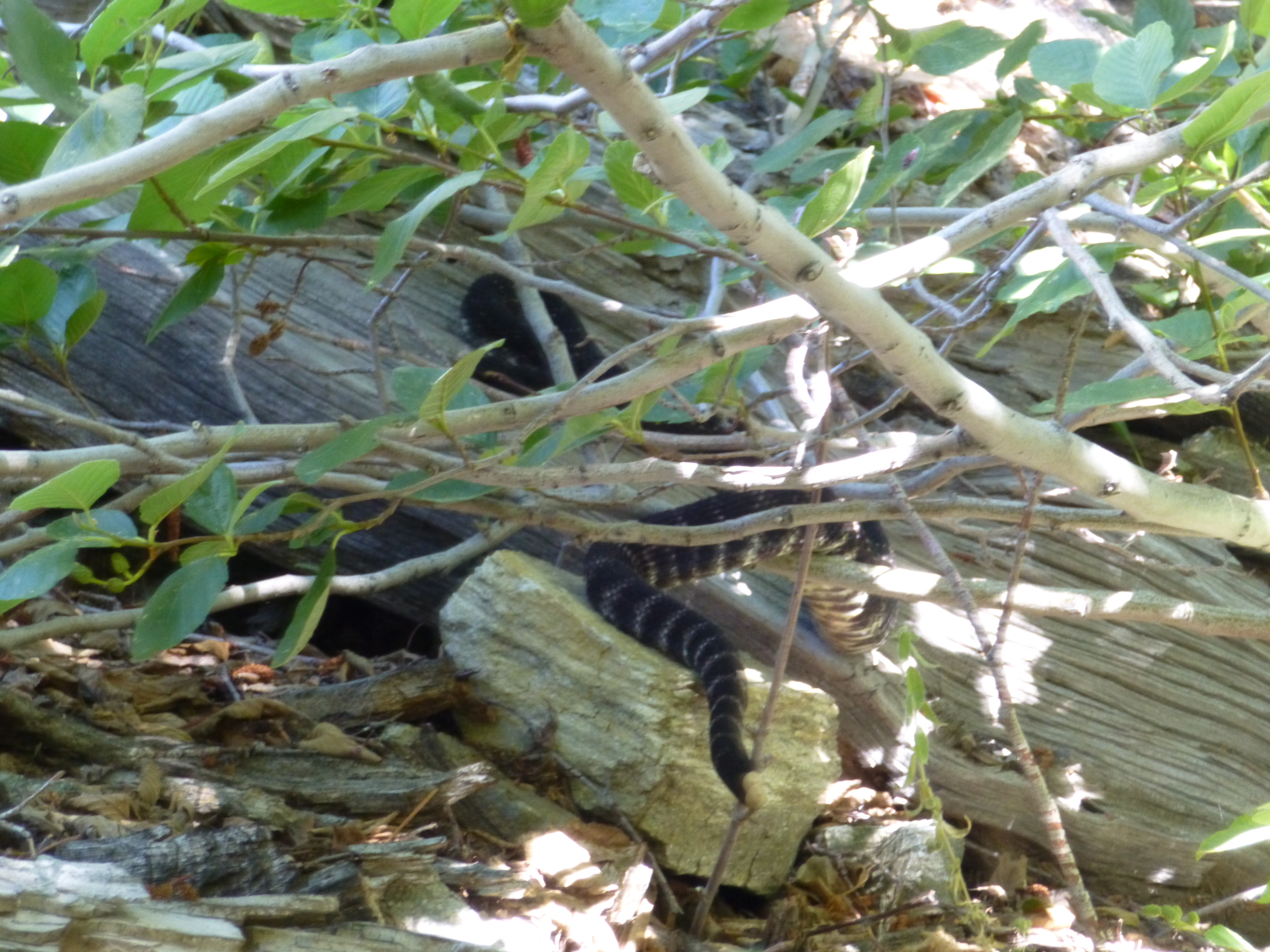
The road climbed a bit before petering out around 6,560'. Next there was some scrambling on slick boulders, dodging of branches, and skirting along the steep banks. A rattlesnake politely warned us of his presence before slithering under a log.

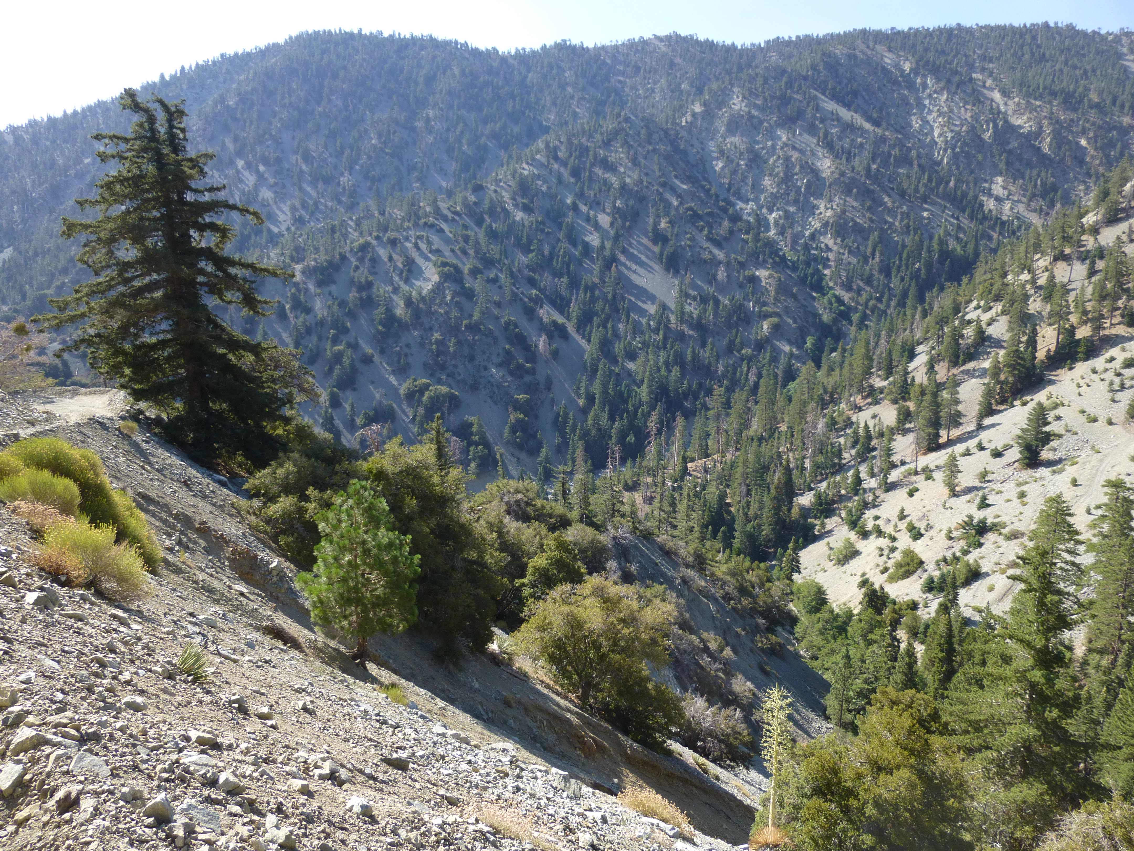
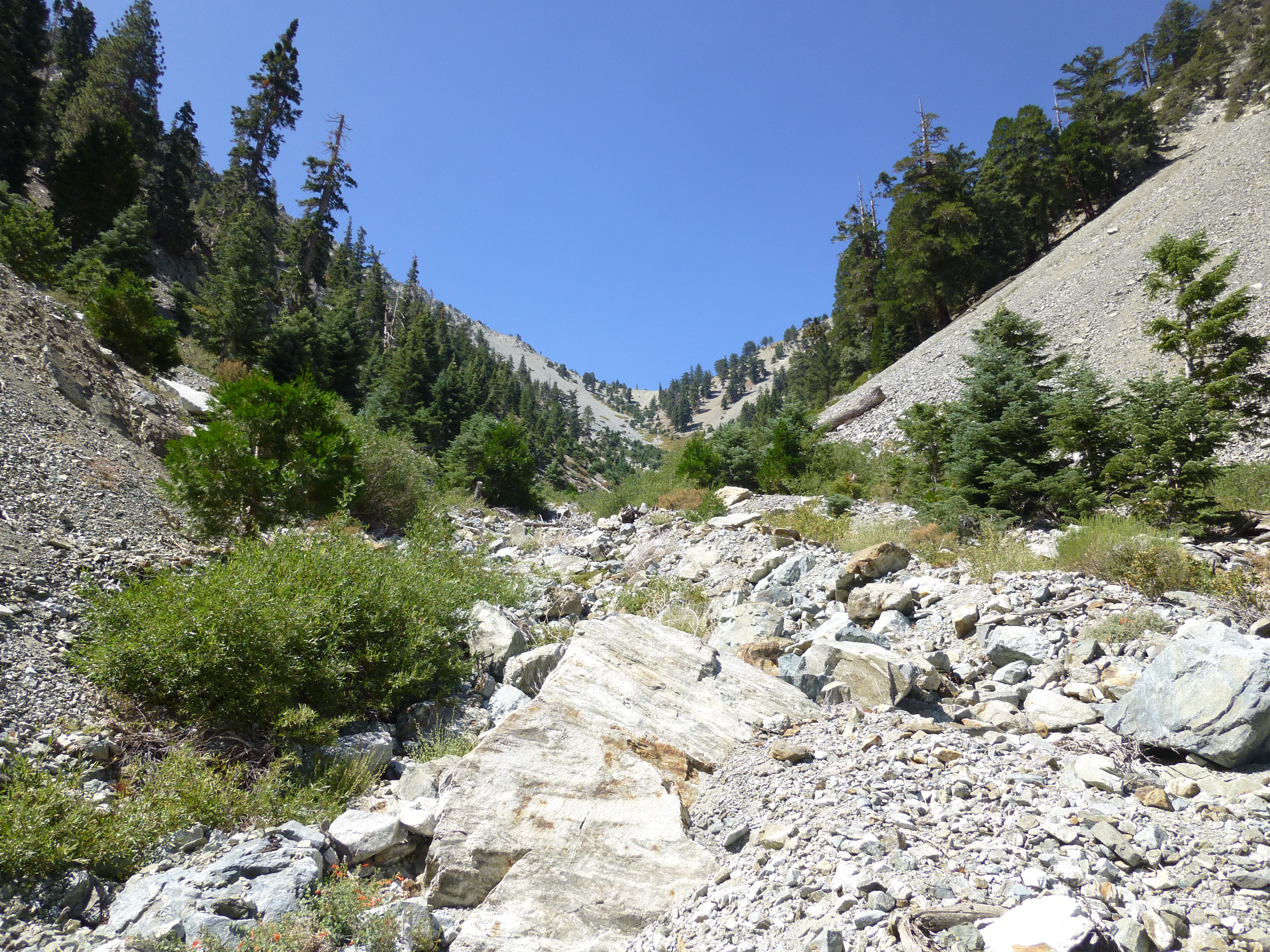
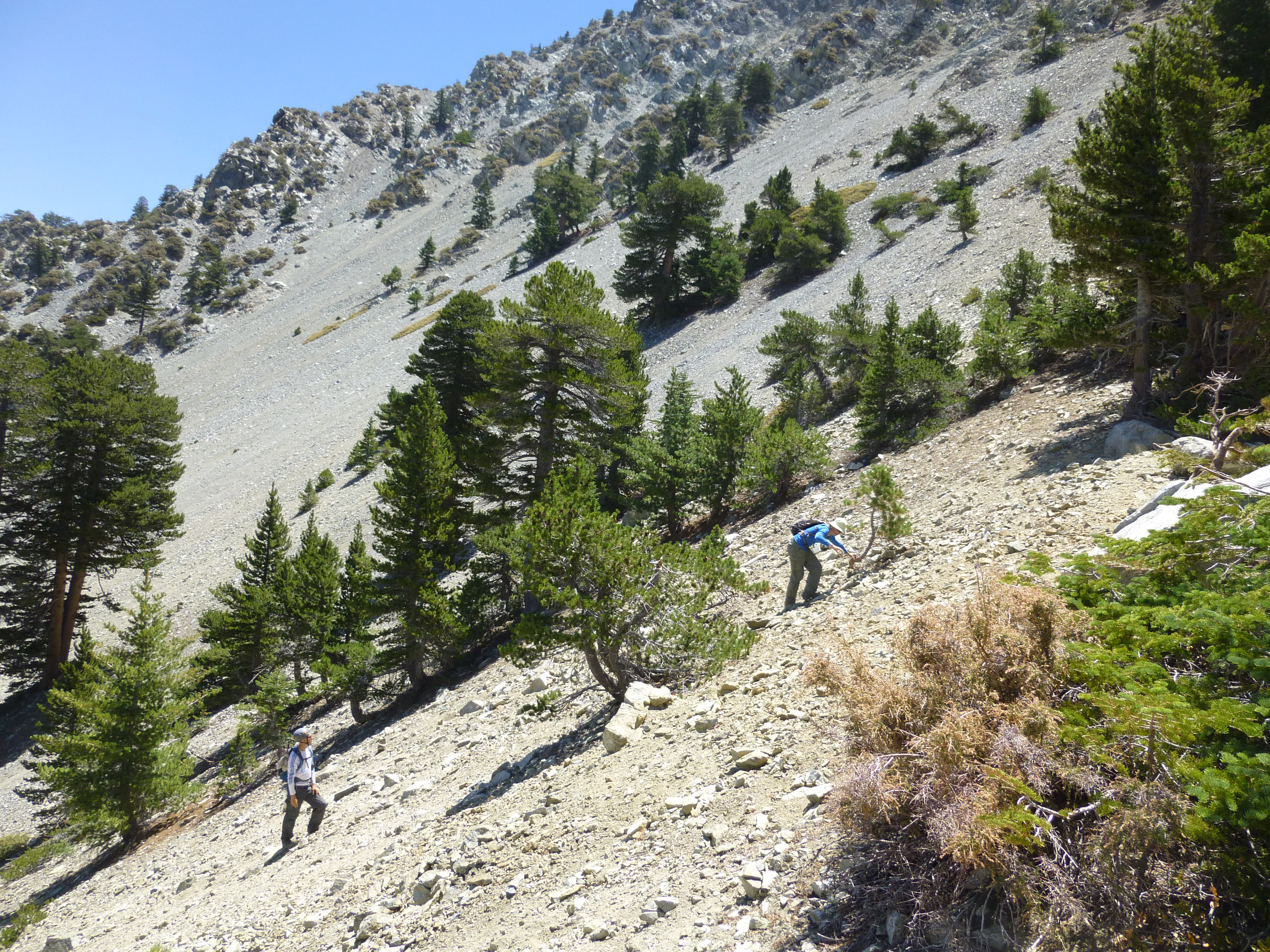
Near the 6,840-foot mark we popped out of the wet, narrow jungle and into a hot, dry, open canyon of rocks upon rocks. The Telegraph/Thunder saddle, where Coldwater begins, could be seen in the distance, a mere 0.9 miles and 1,400' of gain away.

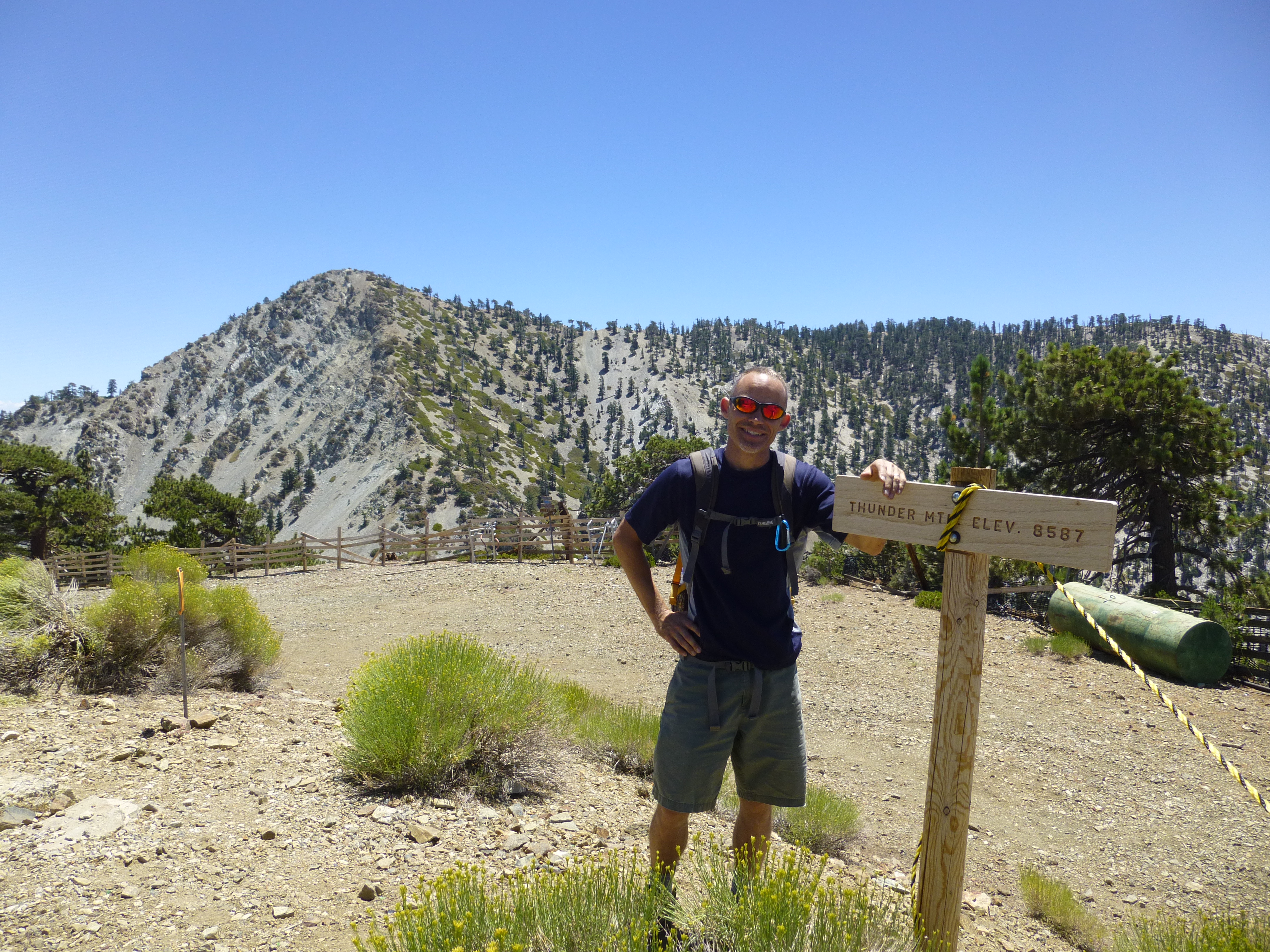
By 12:11 PM we were resting at the saddle under a tree, looking down on our route, eating cheese and crackers.

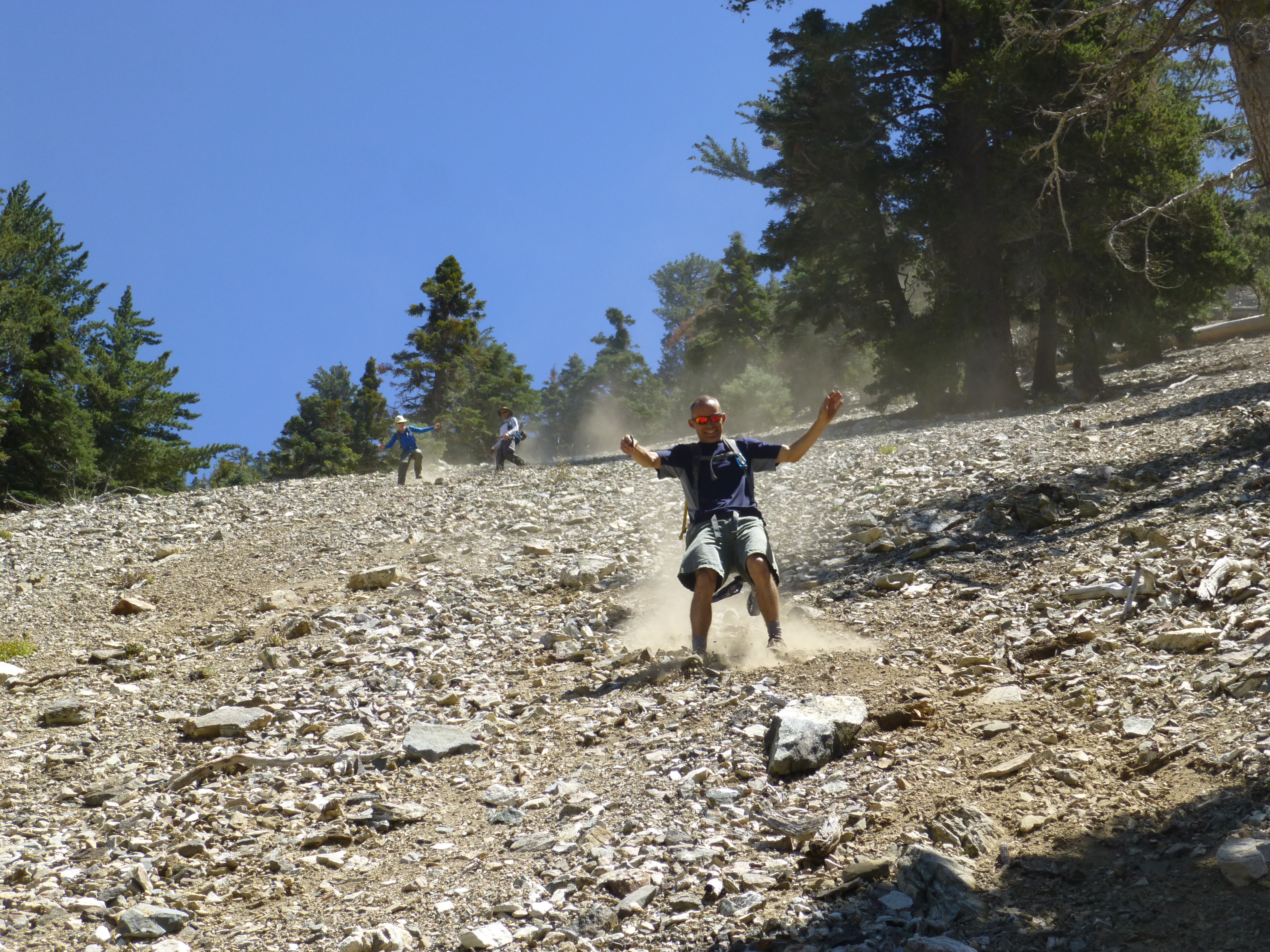
Our final leg took us down Thunder Ridge, negotiating some exposed rocks along the narrow spine. Then we returned to Manker by scree-surfing down Movie Slope, which was part of the original Mt. Baldy Ski Tows attraction.

Our day ended by 2:10 PM. In total the loop amounted to 8.6 miles with 4,025' gained. The GPS track is here.

Where Big Butch turns left and narrows
Image

About to leave Baldy Road and head down-ridge to Coldwater
Image

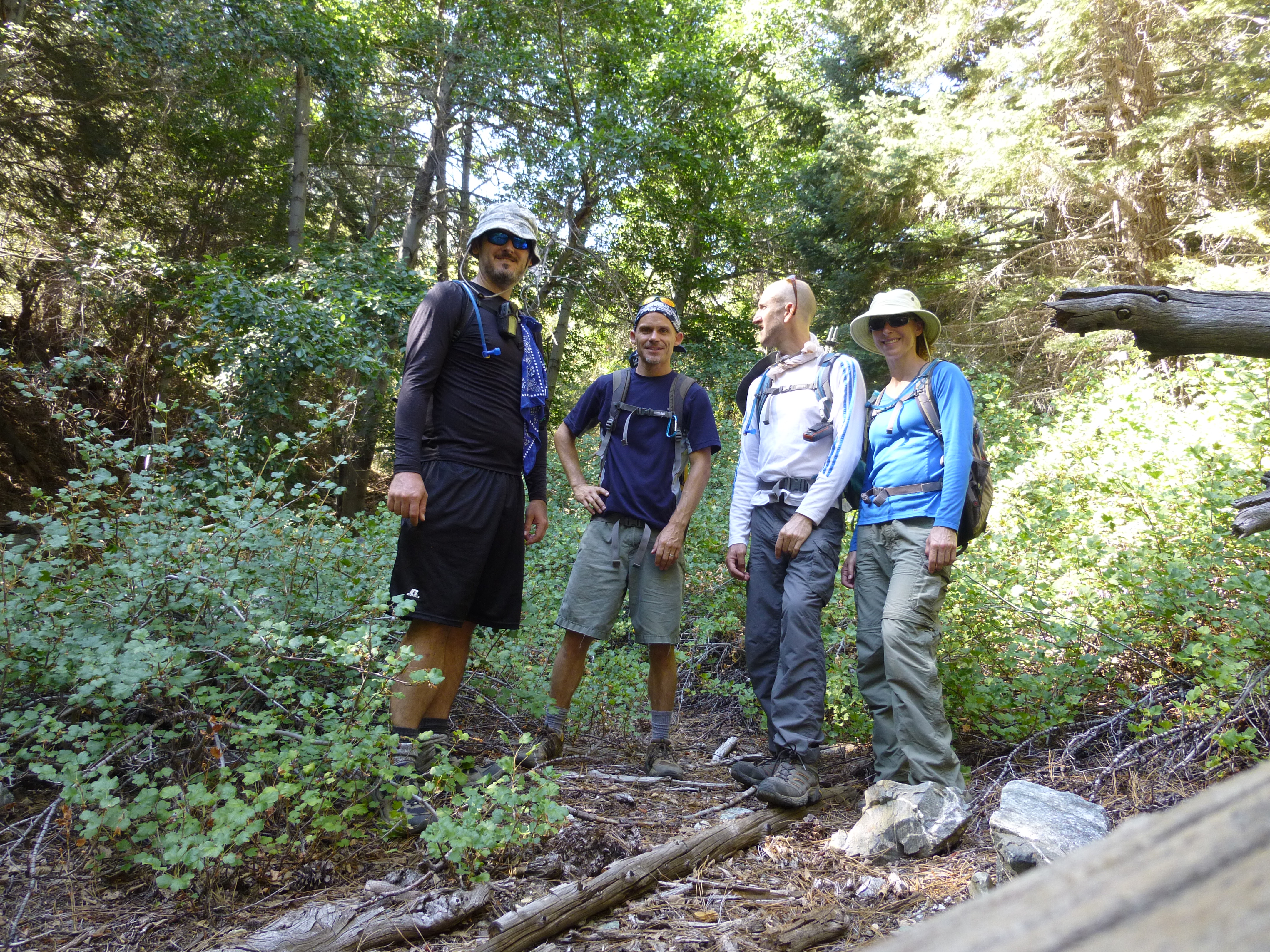
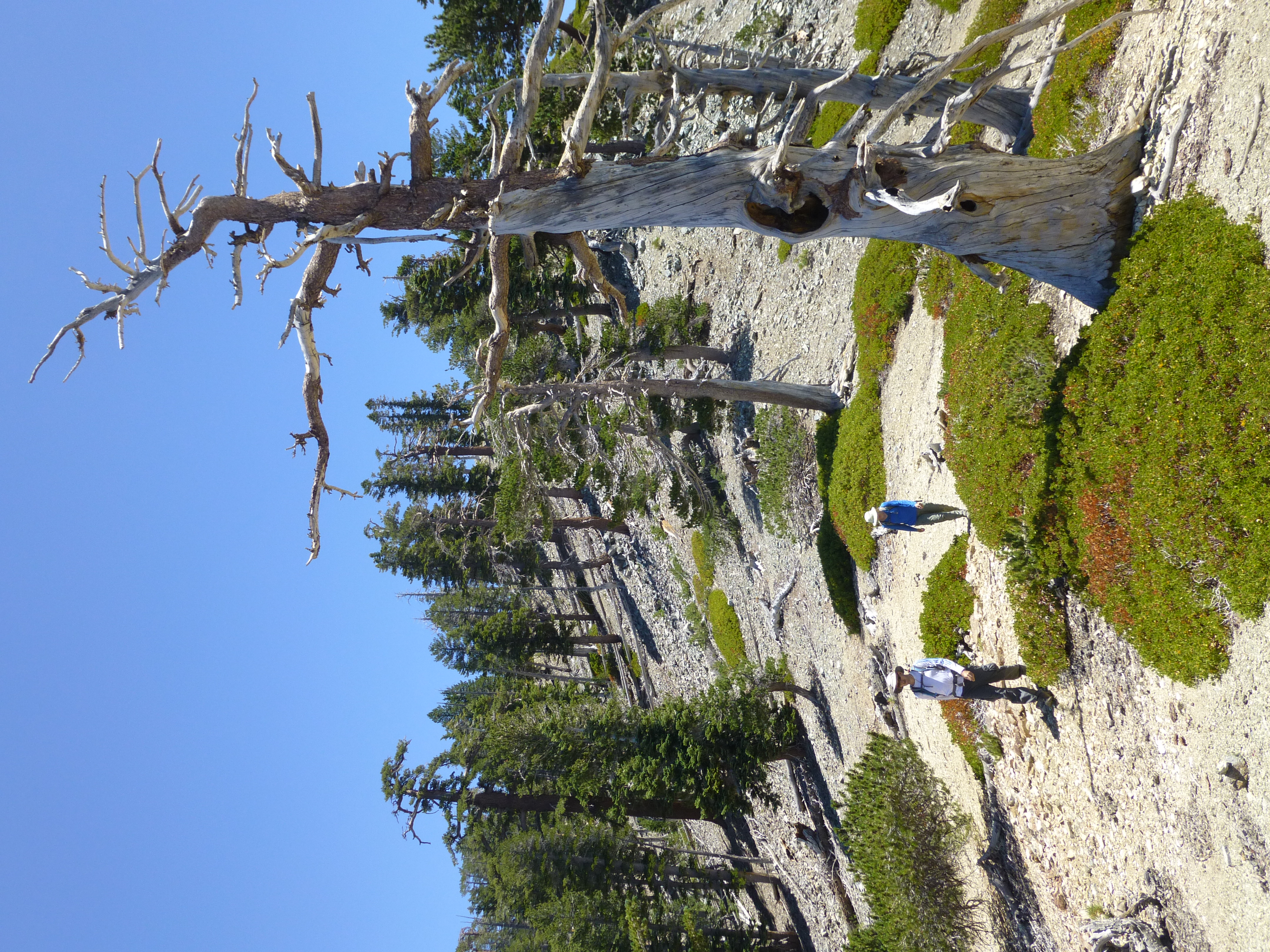
Preparing to ascend Coldwater Canyon
Image

Magical Owl
Image

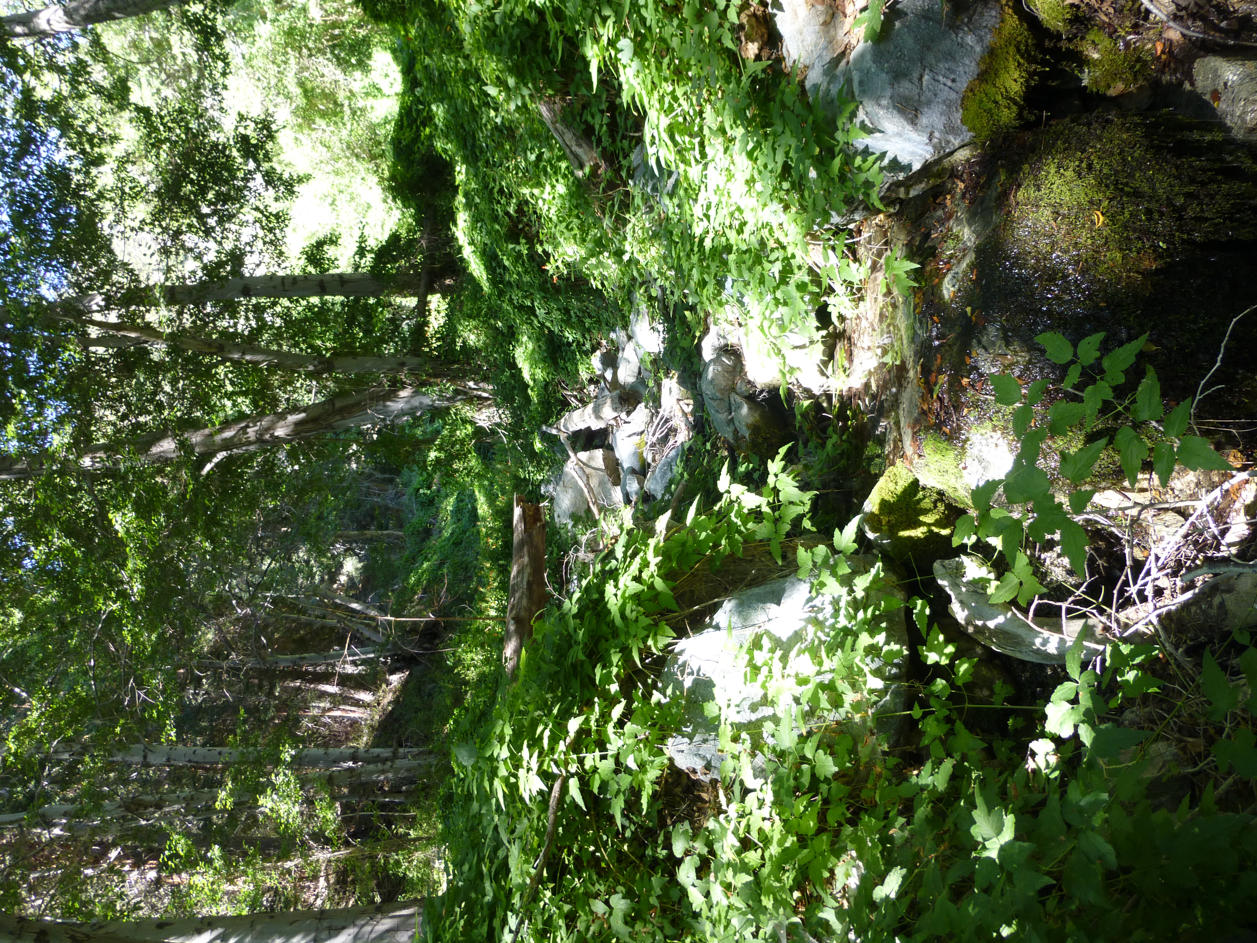
Lush Coldwater Canyon tributary
Image

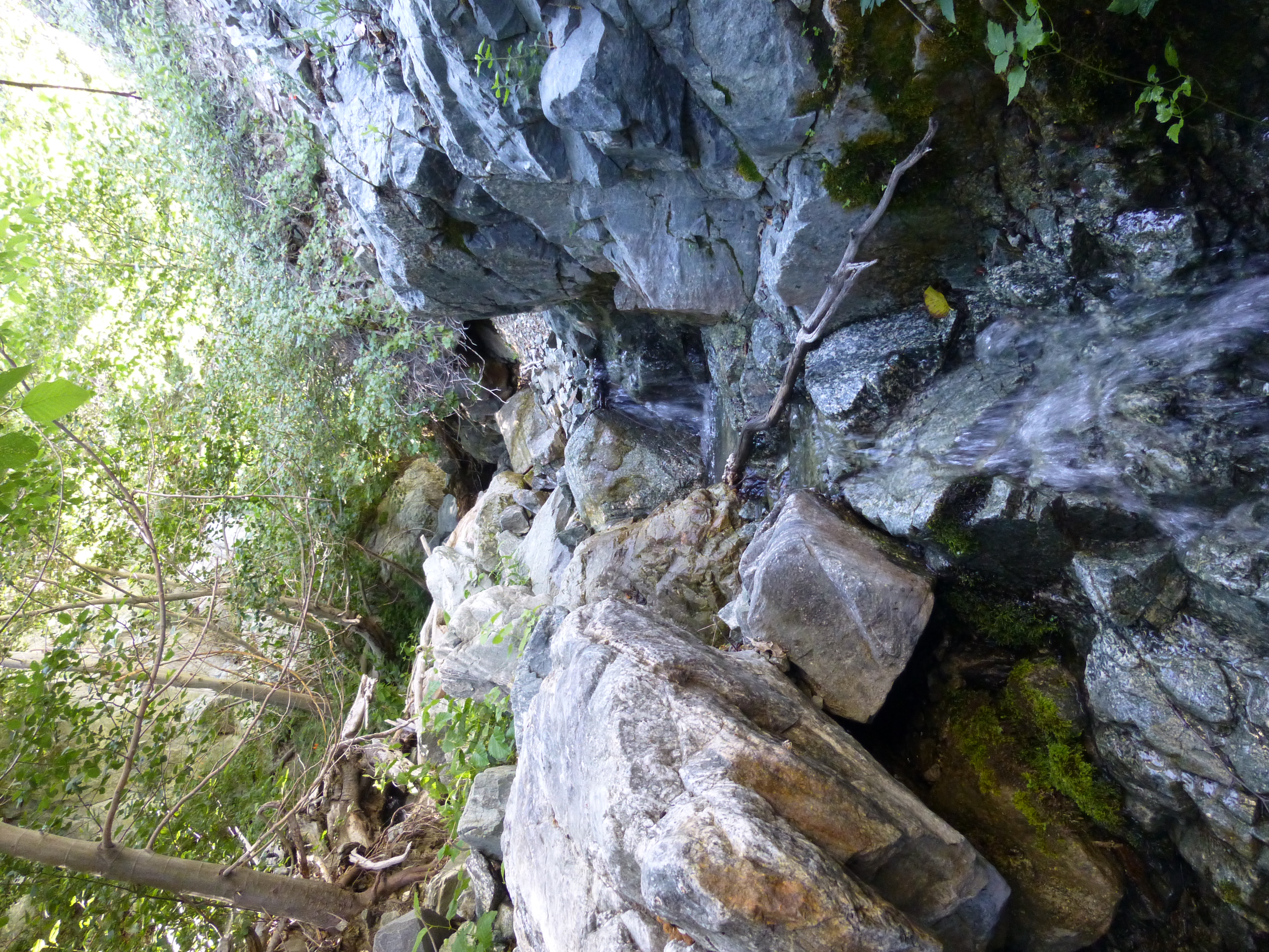
Scrambling up the main canyon
Image

Rattlesnake!
Image

Dry wash up to Telegraph/Thunder saddle
Image

Scrambling up the headwall
Image

Tagging Thunder Mtn
Image

Coming down Thunder Ridge
Image

More Thunder Ridge
Image

Surfing down Movie Slope
Image
User avatar
IcyBacon
Posts: 22
Joined: Tue Dec 28, 2010 10:27 am

Post by IcyBacon »

That looks like a Barred Owl, possibly fluffy and young, which is a BIG DEAL! :shock:

I'll have some better birders take a look at your pic to verify, but that is potentially important evidence of range/breeding expansion. Might even be a first record for the county.

Oh, and cool hike of course. :P
User avatar
HikeUp
Posts: 3895
Joined: Thu Sep 27, 2007 9:21 pm

Post by HikeUp »

IcyBacon wrote: That looks like a Barred Owl, possibly fluffy and young, which is a BIG DEAL! :shock:
That would be WAY out of range, but cool if true! I'd guess it is a fledgling Spotted Owl (paler version of adult). Slightly greenish bill?
User avatar
Ze Hiker
Posts: 1432
Joined: Mon Jul 28, 2008 7:14 pm

Post by Ze Hiker »

very cool (hike and owl).

sadly reading wikipedia sounds like fish & game wants to hunt these owls as they are taking over the spotted owls.
User avatar
IcyBacon
Posts: 22
Joined: Tue Dec 28, 2010 10:27 am

Post by IcyBacon »

Hmm, indeed it could be a Spotted. Also a big deal!
User avatar
Sean
Cucamonga
Posts: 3903
Joined: Wed Jul 27, 2011 12:32 pm

Post by Sean »

Brad got a couple nice shots of the owl.


Image


Image
User avatar
HikeUp
Posts: 3895
Joined: Thu Sep 27, 2007 9:21 pm

Post by HikeUp »

Nice pictures Brad! Thanks Sean.

I'm 99% certain it's a juvenile Spotted Owl.
User avatar
Hikin_Jim
Posts: 4686
Joined: Thu Sep 27, 2007 9:04 pm

Post by Hikin_Jim »

Sean wrote: After 2.2 miles, the dirt road bent to the north on its way to Stockton Flat, providing a nice panoramic scene of the distant desert.
Ah. No wonder I was so tired yesterday. My daughter pooped out around there when we hiked 3N06 from Stockton Flats on Saturday. I carried here from just beyond there all the way to the notch.

She wasn't faking though -- she zonked about 5 minutes after I picked her up. Pretty humorous to hear snoring coming from my backpack.

I figured that spot was about halfway up just by gut feel, but it's nice to have something of a confirmation. Maybe I really should get one of those new-fangled GPS thingies. What are you carrying and do you like it?

That "tributary" that you referred to (N Fork Coldwater Canyon?) looked potentially like a good route from Coldwater Camp to Baldy Notch Road (3N06). Instead of dropping off from the panorama point at 2.2 miles from the notch, one would descend (or ascend) from the vicinity of Coldwater Camp via the tributary to right before the major switchback in the road. Something like this.

HJ
User avatar
Sean
Cucamonga
Posts: 3903
Joined: Wed Jul 27, 2011 12:32 pm

Post by Sean »

Hikin_Jim wrote: My daughter pooped out around there when we hiked 3N06 from Stockton Flats on Saturday.
Your father/daughter hike reports are always so cute.
What are you carrying and do you like it?
I use a Garmin eTrex Legend HCx. It works fine except in thick canyons, but I don't know any company that has solved that problem. I guess there are better receivers on the market now. My device is a little old and on the cheap end. I'm satisfied with the features though. I don't require much. All I want is a track.
That "tributary" that you referred to (N Fork Coldwater Canyon?) looked potentially like a good route from Coldwater Camp to Baldy Notch Road (3N06).
I considered that. But the tributary has a decent flow, so the underbrush is nice and thick. I thought it would be easier to do the ridge.
User avatar
Hikin_Jim
Posts: 4686
Joined: Thu Sep 27, 2007 9:04 pm

Post by Hikin_Jim »

Sean wrote: Your father/daughter hike reports are always so cute.
Thanks. :)

We have a lot of fun. It's really cute how she insists that I let her carry a backpack (just like daddy) and demands that I give her meaningful things to put in it. If I try to palm off a bandanna and a bag of candy on her, she protests until I relent. Here, she's carrying the pot, stove, and gas canister:
Image
I use a Garmin eTrex Legend HCx. It works fine except in thick canyons, but I don't know any company that has solved that problem. I guess there are better receivers on the market now. My device is a little old and on the cheap end. I'm satisfied with the features though. I don't require much. All I want is a track.
The one feature I've seen that looks really handy in a pinch is the display of the topo map with an arrow superimposed on the map indicating position and direction in real time. That could be incredibly handy in snow, storms, etc. -- or when one is simply in a hurry (as in impending darkness). I can usually work out where I am pretty well with map and compass, given the time. Recently, in a lightning storm, I didn't do so well and wound up on the wrong side of a saddle in the rain. :oops:

HJ
User avatar
Sean
Cucamonga
Posts: 3903
Joined: Wed Jul 27, 2011 12:32 pm

Post by Sean »

Hikin_Jim wrote: The one feature I've seen that looks really handy in a pinch is the display of the topo map with an arrow superimposed on the map indicating position and direction in real time.
Mine has that and I do use it sometimes to figure out where I am. It didn't come loaded with topo maps though. I downloaded free ones from the internet.
Post Reply