
Amanda and I just got back. Started hiking from Crystal Lake at 0430, got to one of the cars at East Fork at 2020.
3 rapps, tons of awesome swims, super rad. Saw a full on herd or whatever of 10 or so Bighorn. I'll upload pics later. Real tired.
20130727 Iron Fork Canyoneering
-
Taco

- Snownado survivor
- Posts: 6191
- Joined: Thu Sep 27, 2007 4:35 pm
OK bear with me. Photobucket used to be easy to use. Now it's absolutely terrible. THANKS OBAMA.

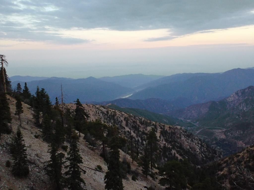
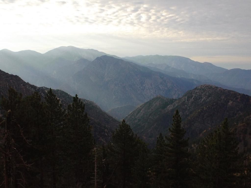
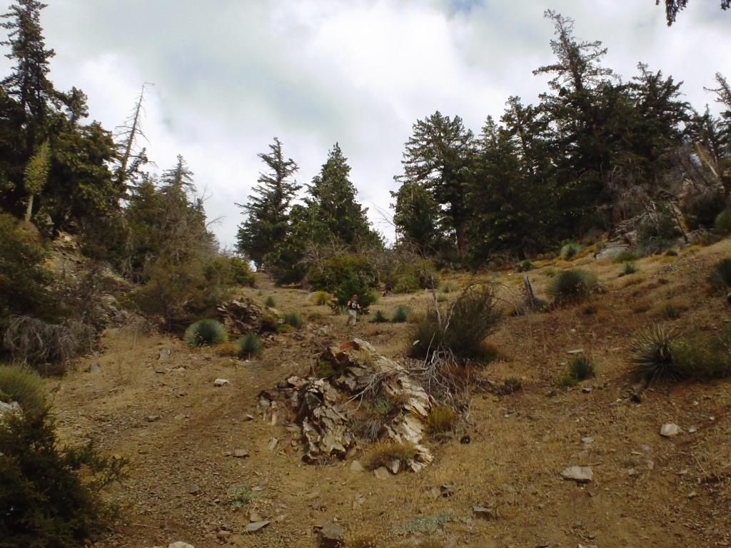
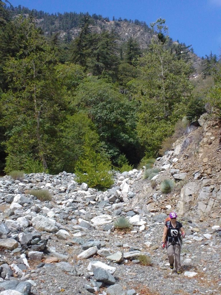
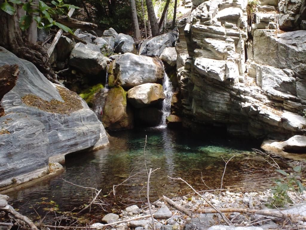
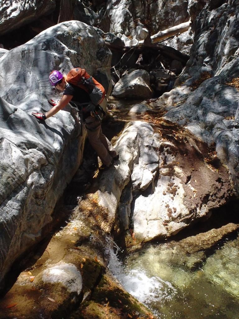
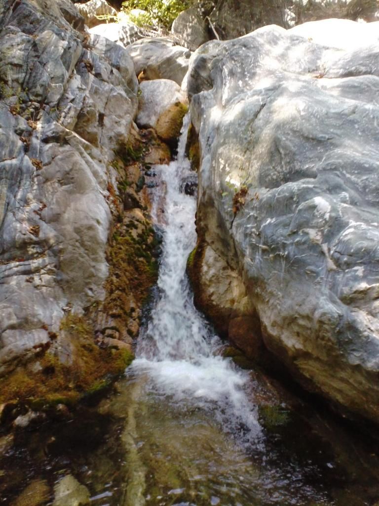
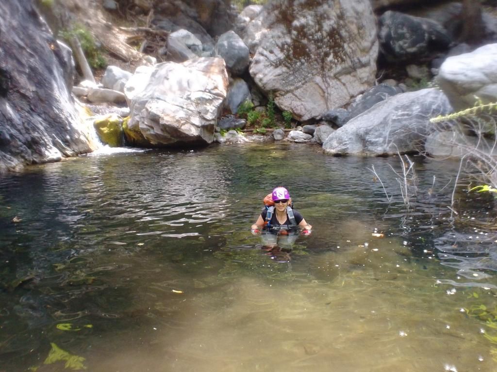
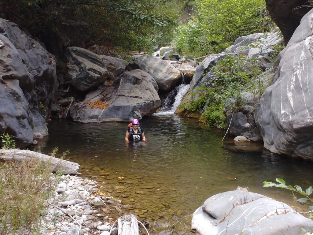
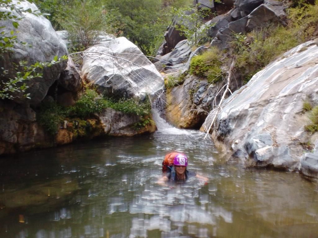
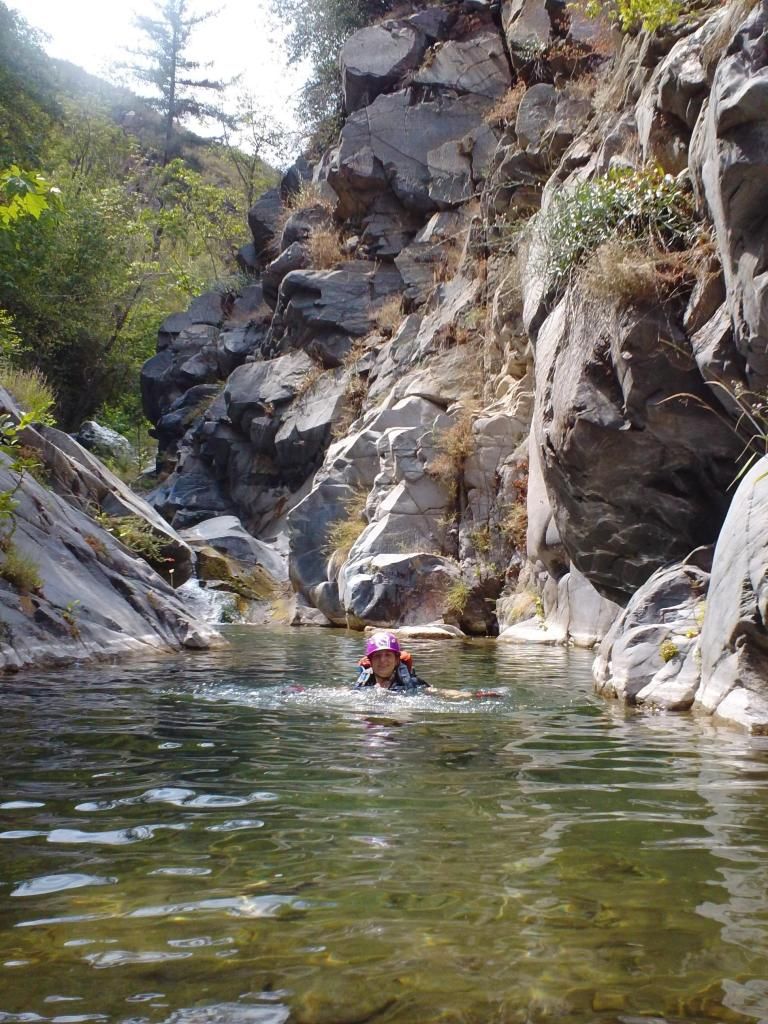
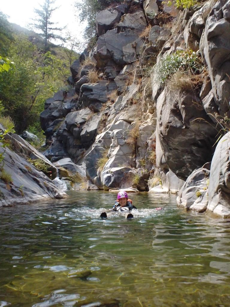
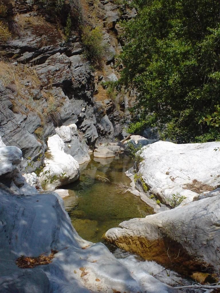
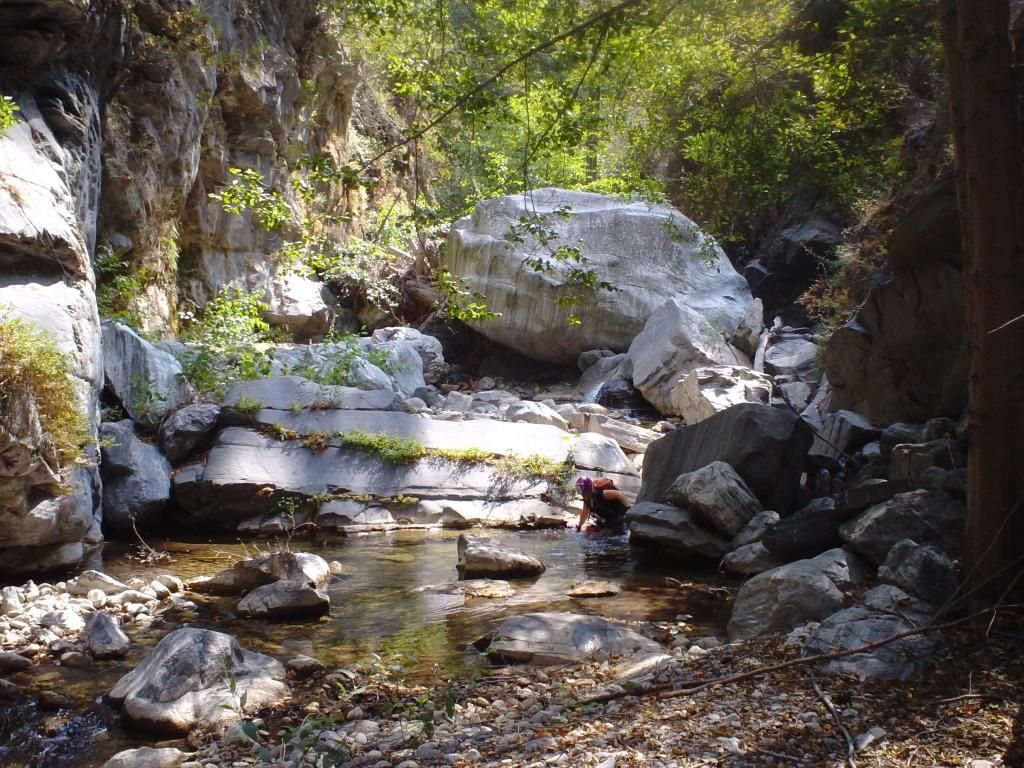
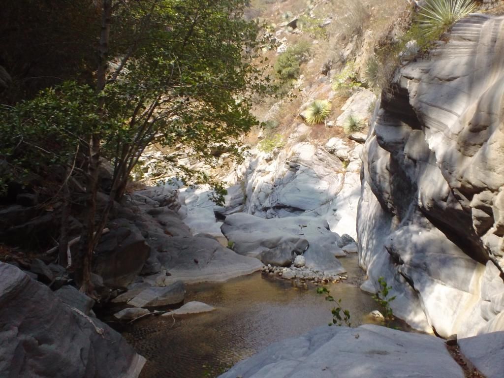
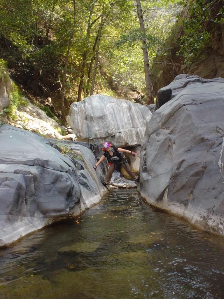
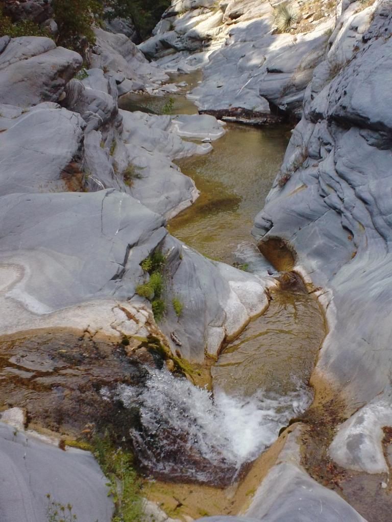
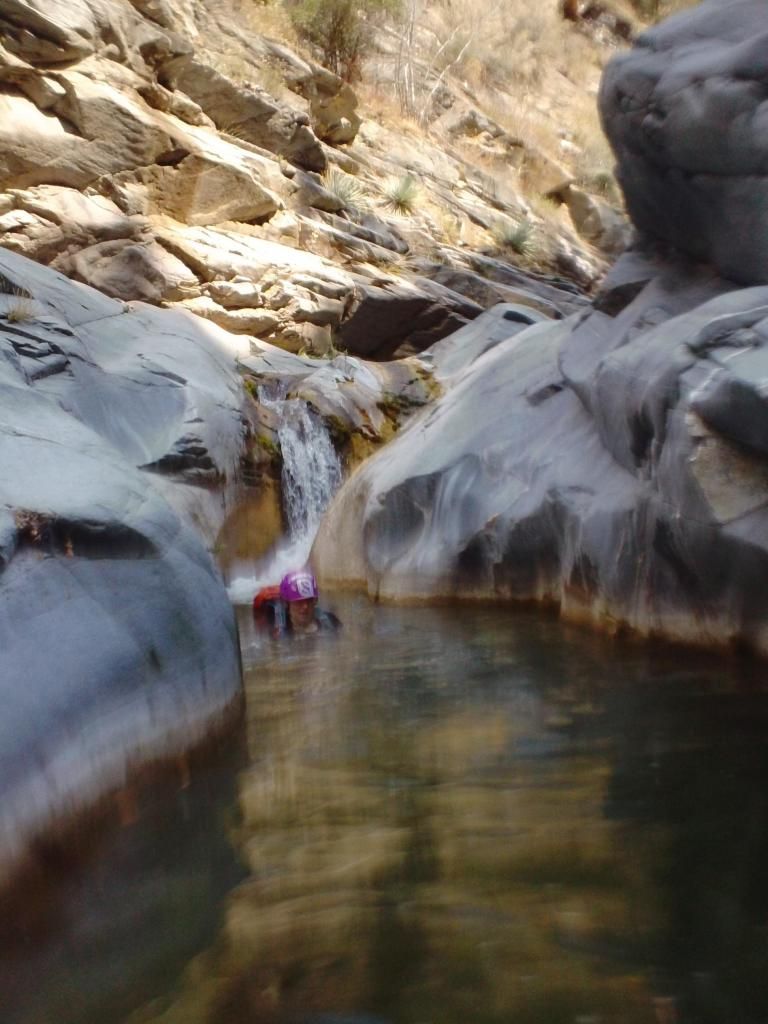
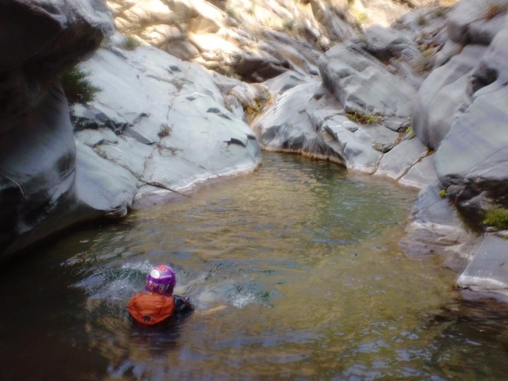
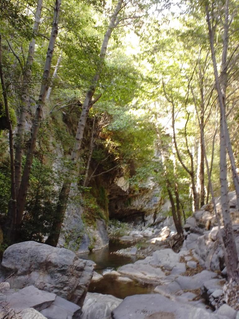
We started at Crystal Lake at 0430 and ended at Heaton Flat at 2020. Went up the trail to the fire road, to South Mt Hawkins, then dropped down into Iron Fork. 3 rapps followed by a lot of hiking and short downclimbs on boulders. After we got to the confluence of the two Iron Forks, things got better. Lots of fun swims and jumps, some very deep. Saw 10 Bighorn Sheep. Super duper rad area.
Loogit.
Amanda scree skiiiiiiing down.
Trash! People don't like the San Gabes, and it's their fault. No respect.
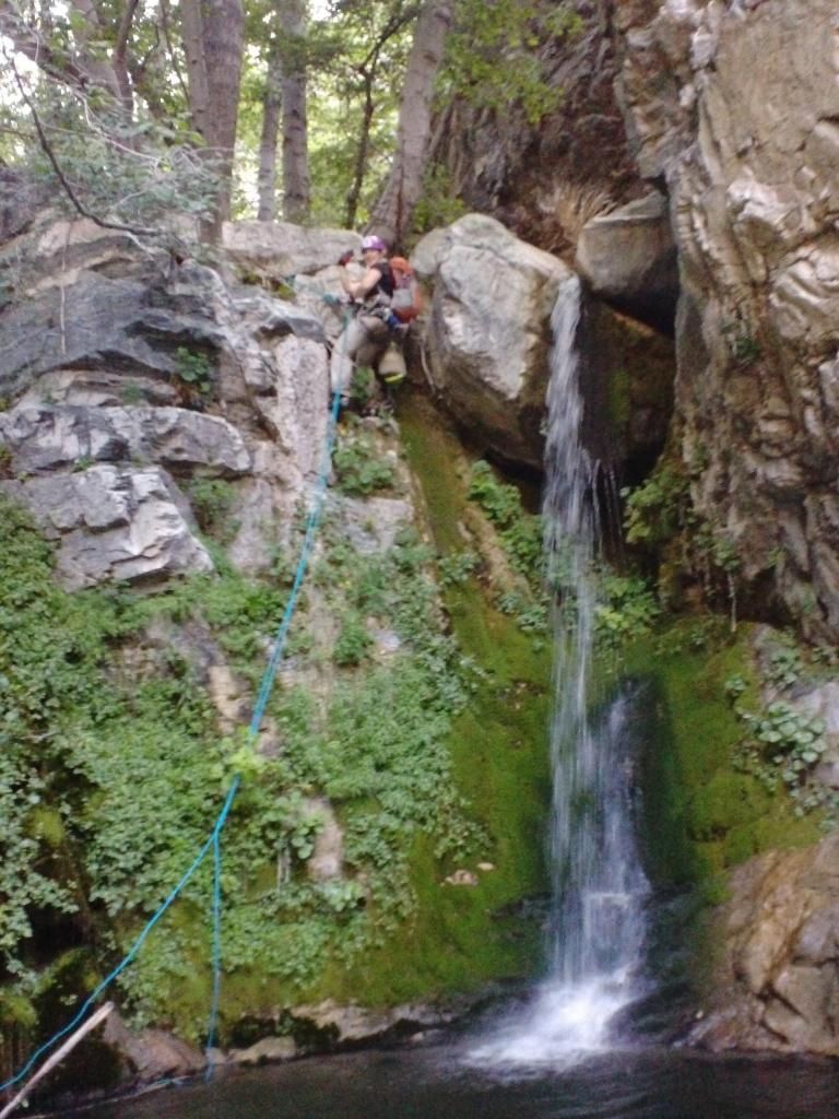
Rapp
Amanda
Next!
Rappin'
A few hours of this...
Getting better
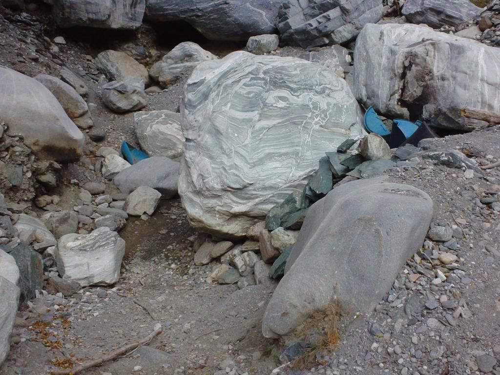
Cool stuff
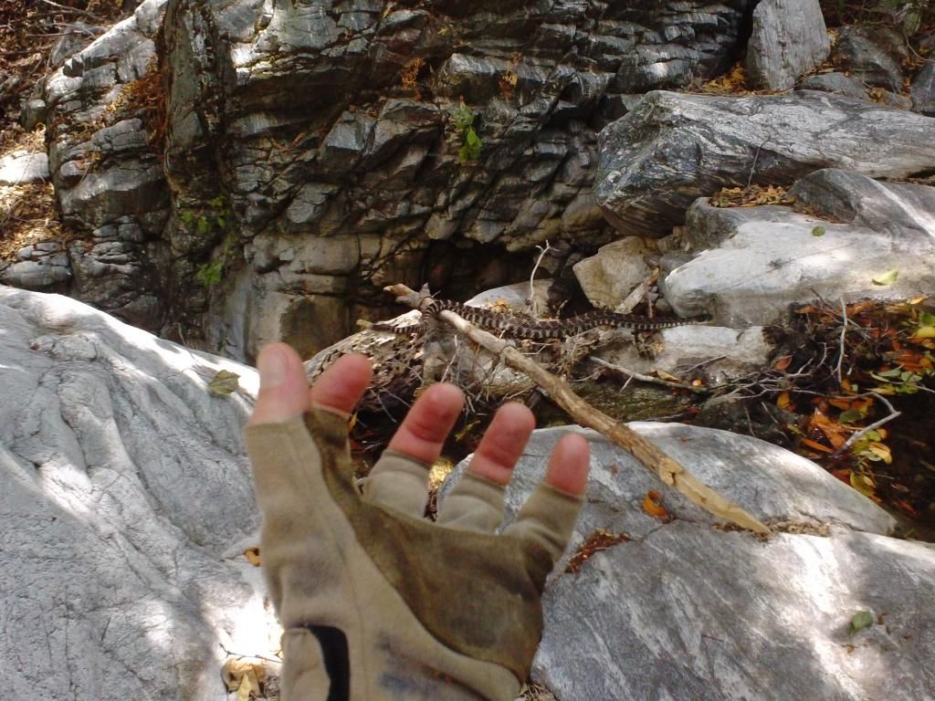
One of these guys
North (or rather, regular) Fork
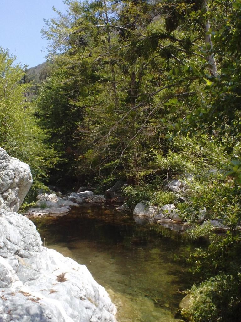
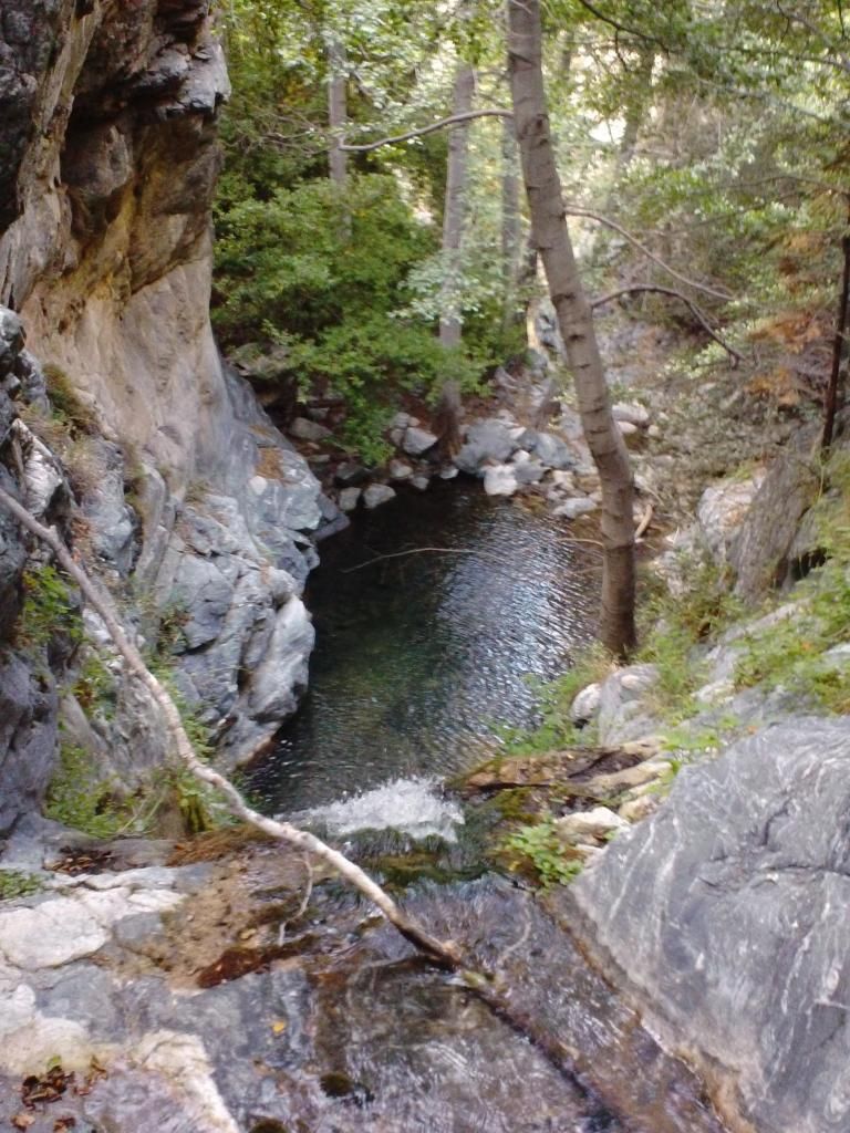
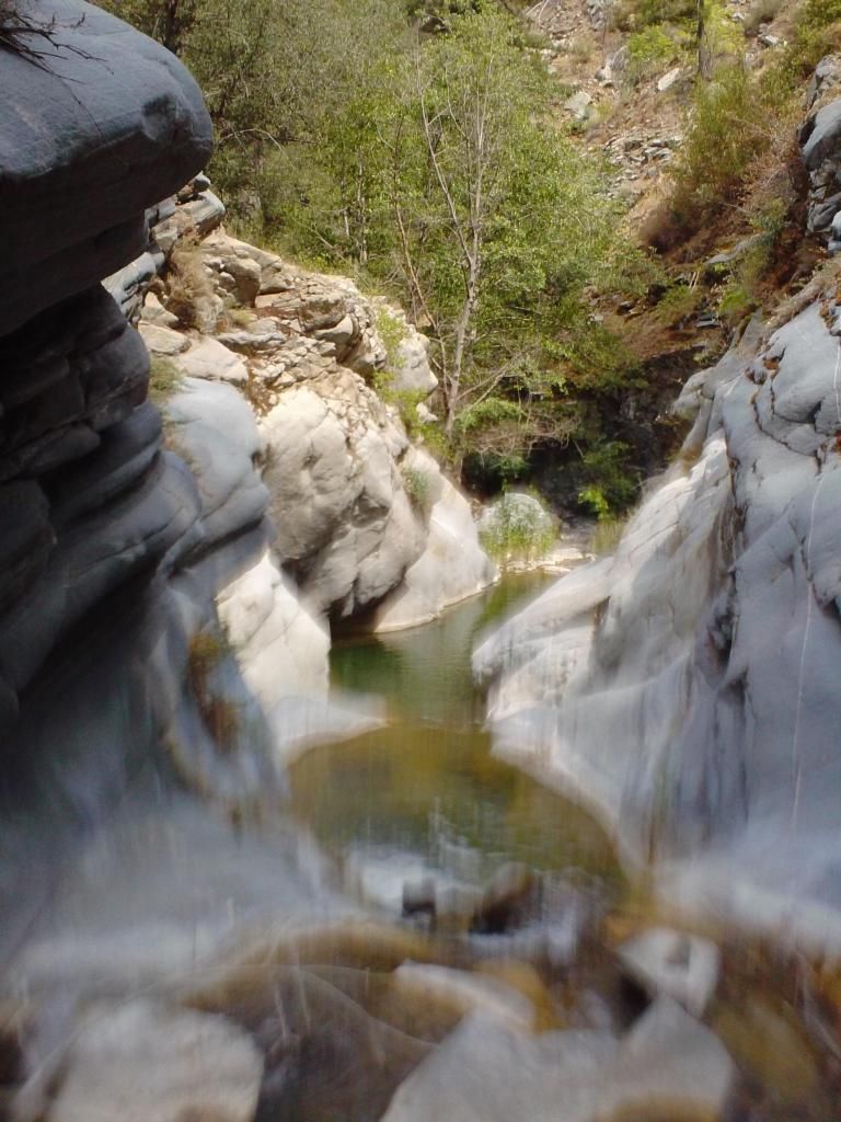
Pools
Yeehaw
More yeehaw
More more yeehaw
Ross Gulch drops in
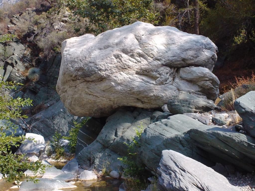
Bigger than a VW, the standard unit of measurement.
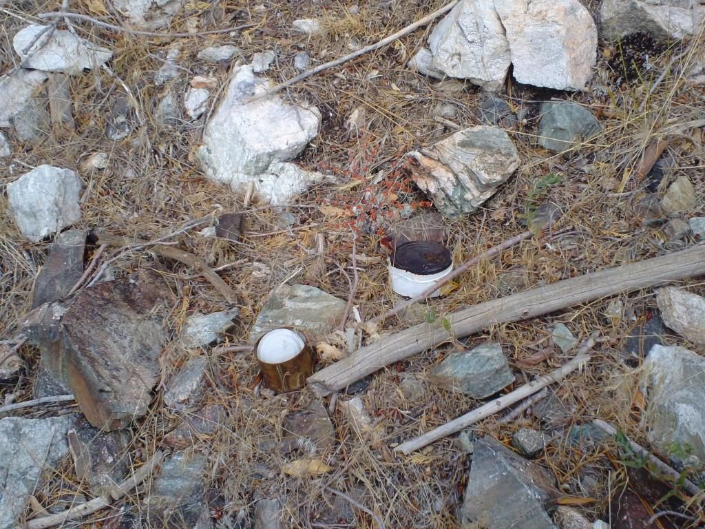
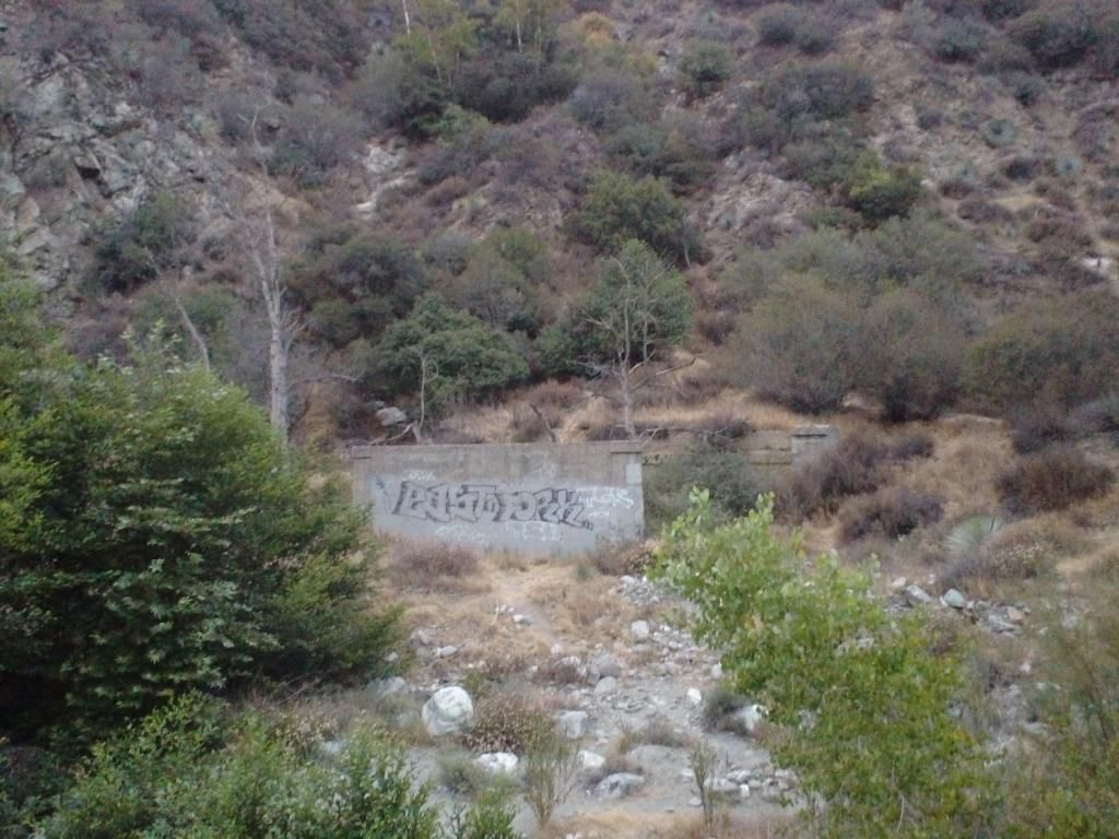
Miner trash along East Fork. Looks worse than last time I came through. Thanks guys!
It's labeled now.
Cheers folks.
We started at Crystal Lake at 0430 and ended at Heaton Flat at 2020. Went up the trail to the fire road, to South Mt Hawkins, then dropped down into Iron Fork. 3 rapps followed by a lot of hiking and short downclimbs on boulders. After we got to the confluence of the two Iron Forks, things got better. Lots of fun swims and jumps, some very deep. Saw 10 Bighorn Sheep. Super duper rad area.


Loogit.

Amanda scree skiiiiiiing down.

Trash! People don't like the San Gabes, and it's their fault. No respect.

Rapp

Amanda

Next!

Rappin'

A few hours of this...

Getting better

Cool stuff

One of these guys

North (or rather, regular) Fork

Pools

Yeehaw

More yeehaw

More more yeehaw


Ross Gulch drops in

Bigger than a VW, the standard unit of measurement.

Miner trash along East Fork. Looks worse than last time I came through. Thanks guys!

It's labeled now.
Cheers folks.
-
outwhere

- Posts: 323
- Joined: Sun Jan 25, 2009 5:40 pm
Very tough to pick a favorite pool pic - each so cool for various reasons...
So we'll go with this one... it deserves a special round of applause,,, what a shot, what a rock!! The yucca in the background really gives it some perspective too...
Glad you're back in 'our' hills, Taco --- we always can count on you [a very few others] to go where not too many go 8)
So we'll go with this one... it deserves a special round of applause,,, what a shot, what a rock!! The yucca in the background really gives it some perspective too...
Glad you're back in 'our' hills, Taco --- we always can count on you [a very few others] to go where not too many go 8)

-
Uncle Rico

- Posts: 1484
- Joined: Thu Mar 20, 2008 7:48 pm
Wow! Surprised how much water is still flowing back there. Awesome.
-
Taco
- Snownado survivor
- Posts: 6191
- Joined: Thu Sep 27, 2007 4:35 pm
Thanks.
Ditto. I heard last winter was bad down here. Reckon there are a lot of springs south of ACH on that main ridge. Saw one spring come down from a wall down a tiny gully it made, surrounded by mosses and tiny plants, like a Lego man size Hawaii canyoneering route.
Ditto. I heard last winter was bad down here. Reckon there are a lot of springs south of ACH on that main ridge. Saw one spring come down from a wall down a tiny gully it made, surrounded by mosses and tiny plants, like a Lego man size Hawaii canyoneering route.
-
Sean

- Cucamonga
- Posts: 4286
- Joined: Wed Jul 27, 2011 12:32 pm
Cool trip. Do you think it can be done without ropes? Are there bypasses?
-
Taco
- Snownado survivor
- Posts: 6191
- Joined: Thu Sep 27, 2007 4:35 pm
Yeah, if you drop in just a little further down. If you just want the goods, I'd drop in where the two forks of Iron Fork meet. Then you get the swims and real good part without the not so great part. The 3 rapps are way back upcanyon. Might be a challenge to figure out the best way to accomplish that, but that's part of the fun. Might be up your alley.
You could go from Ross Mtn and go straight down that ridge. You'd need to get creative near the bottom, as there's more brush and it's steep. Also, the hike out north on East Fork sucks. Done that a handful of times and never enjoyed it.
Or, go up the ridge above BTN (Bridge to Nowhere), which is loose and not fun. Head straight up from Airplane Flat or so, not too bad. Drop in from there.
OR OR, hike up Rattlesnake, go up the ridge to SMH, turn right and go down the spur/ridge to where you'd drop in.
I am halfway planning on doing the north/actual fork of Iron Fork. It looks neat and may have some good stuff in it, probably just rapps. The canyon kinks a lot and that's typically indicative of rapps in the SG's with the kind of rock we have in that area (that shale stuff so common north of Baldy, west of Lytle Creek, east of Hawkins Ridge, and south of ACH).
-
AW~

- Posts: 2109
- Joined: Mon Oct 01, 2007 12:00 pm
Fassst time for SIF.
Yup, bad winter and spring...me hibernating.....
Yup, bad winter and spring...me hibernating.....
-
Taco
- Snownado survivor
- Posts: 6191
- Joined: Thu Sep 27, 2007 4:35 pm
And thank you AW for the motivation. 8)
