Hump Day Hike to Stockton Flat

TRs for the San Gabriel Mountains.
Post Reply
User avatar
Sean
Cucamonga
Posts: 3792
Joined: Wed Jul 27, 2011 12:32 pm

Post by Sean »

The Baldy Ski Lift parking lot was empty on Wednesday at 12:30 PM. During my pre-hike ritual, some guy in a SUV drove to the end of the lot, turned around, and headed back down the road. This happens a lot on weekdays. It happened again at 6:30 PM, during my post-hike ritual. Most likely I keep spoiling people's attempts to dump dead bodies in Manker Canyon. I shudder to think how many were delivered during the six hours I spent hiking to Stockton Flat and back.

I drove to Baldy unsure of my plan. Spontaneity is becoming routine these days. At least it is for me. Usually when I'm unsure of what hike I want to do, I end up at the Baldy Ski Lift because that's the end of the road and I have nowhere else to go.

Manker Canyon probably had a bunch of dead bodies in it, so I decided I'd try one of the steep gullies branching off from the trail under the lift.

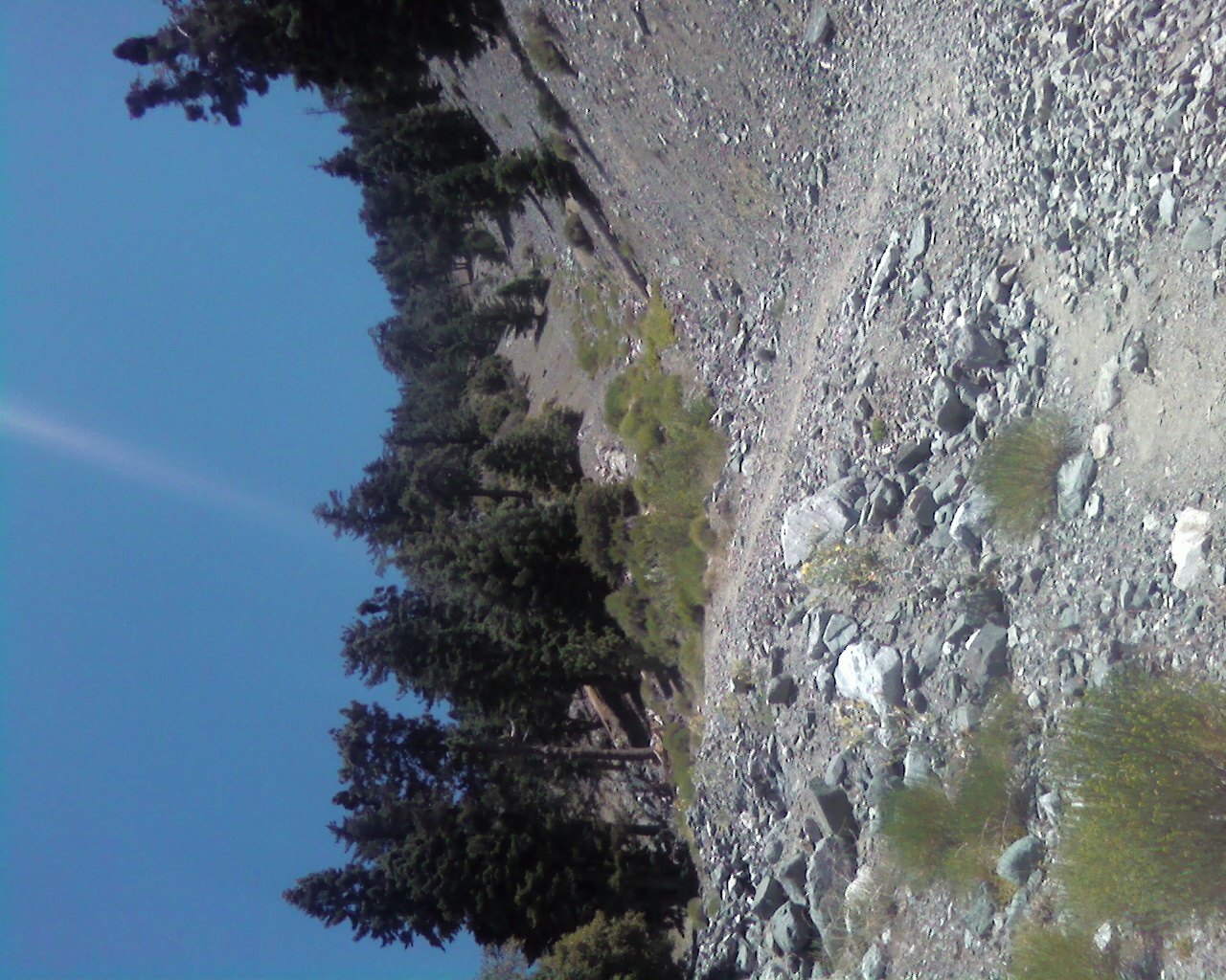
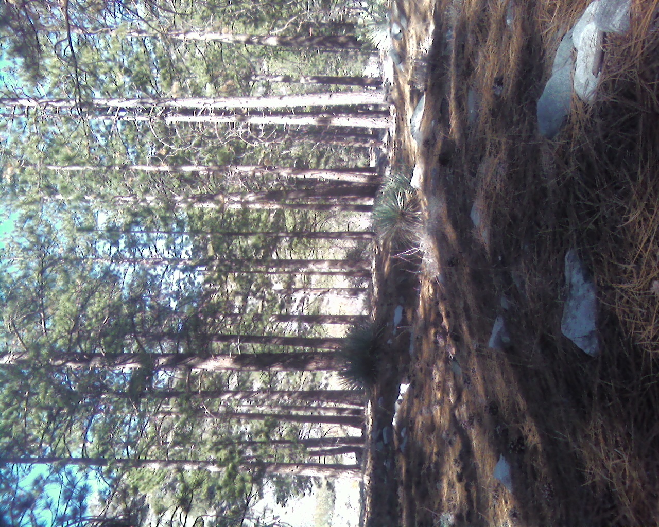
I ended up ascending an old double black diamond ski run called Bentley's Dream. The resort folks run a water pipe down this slope. At the bottom, near the lift, the pipe leaks.

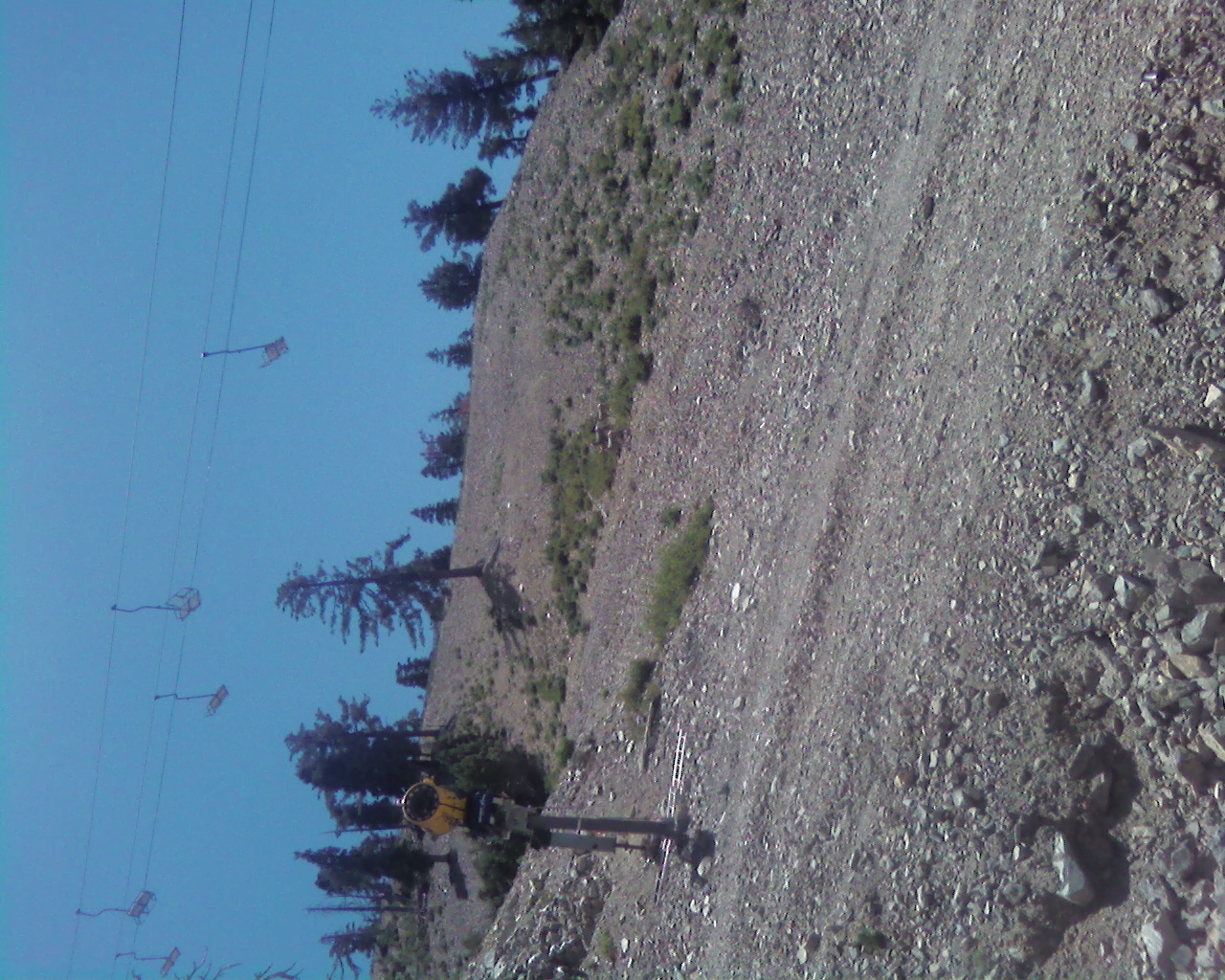
Around 7200' the rocks I had been using for footholds in the gully disappeared. The radical slope offered a bunch of annoyingly loose sand. After contouring to the left I worked up a connecting run called Morgan's Grove. Here I noticed a sort of service trail for the pipeline that could be followed the rest of the way up to the fire road. All told, this climb was 1100' in 0.6 miles. But it felt like 1200' with all the slipping and sliding.

From the fire road I scooted past the reservoir and dropped into Miners Bowl. Up on a slope were three healthy Bighorn sheep looking for dinner among the bushes. They let me approach to within fifty feet or so. All I had was my crappy cell phone camera. Doh!

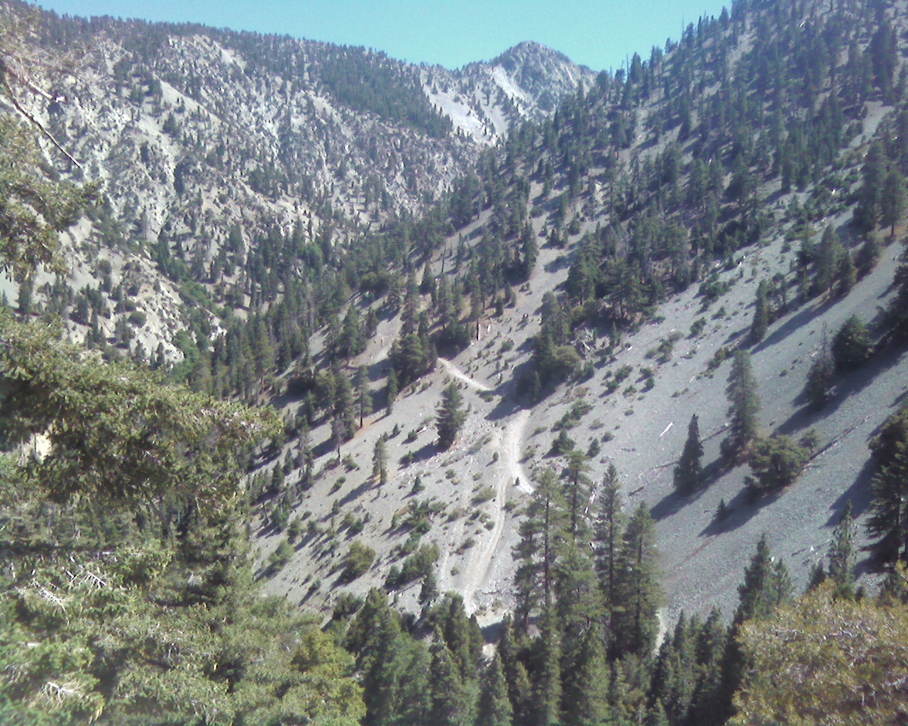
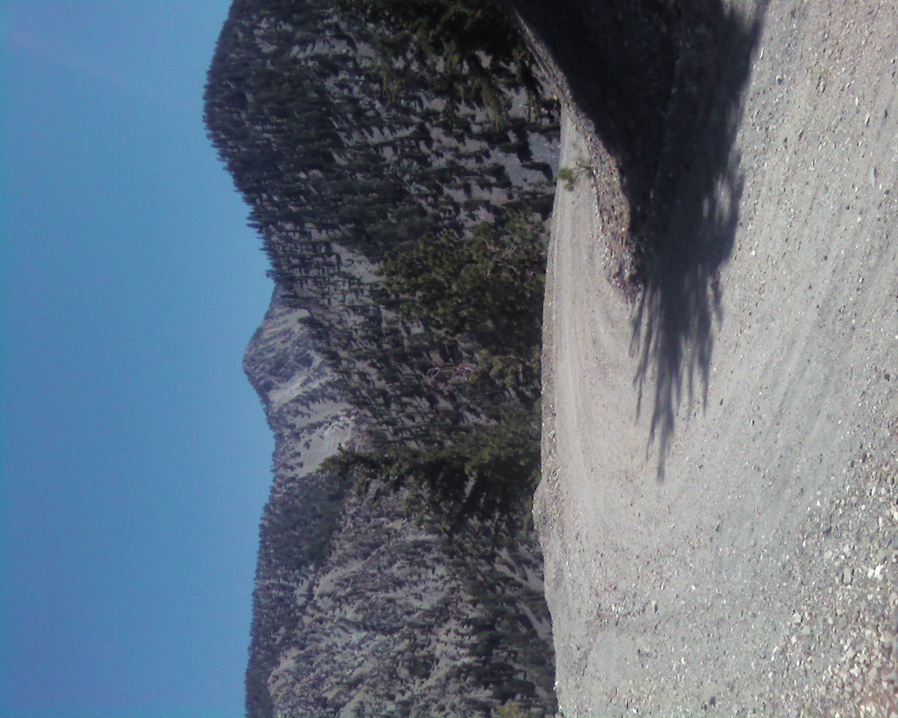
Soon I reached Baldy Notch and started the 4.3-mile, 2000' descent to Stockton Flat via the Baldy fire road. The views were impressive. I had never gone this way before. I could see Coldwater Canyon running northbound from towering Telegraph Peak, and then, from my lofty perch on the road, I watched the canyon curve eastward into the flats en route to the north fork of Lytle Creek. I doubted there was any water remaining in that sun-drenched courseway.

At Stockton Flat I wandered across the dry wash, exploring a bit. Dawson Peak extended its enticing east ridge in my direction. Maybe some other day, I thought.

No water could be found lying about on the ground, so I checked the bladder. One liter remained. I hoped I would have a lot of shade on the return climb to the Notch.

And thankfully I did. The late-afternoon sun stayed mostly behind the ridgeline to the west. A little wind helped cool me off too.

Back at the Notch the backdoor was open, so I was able to refill water in the restroom before hurrying down the ski lift trail to my awaiting car--and that lone motorist hunting for a place to dump a dead body in Manker Canyon.

Bentley's Dream ski slope branching off to the right
Image

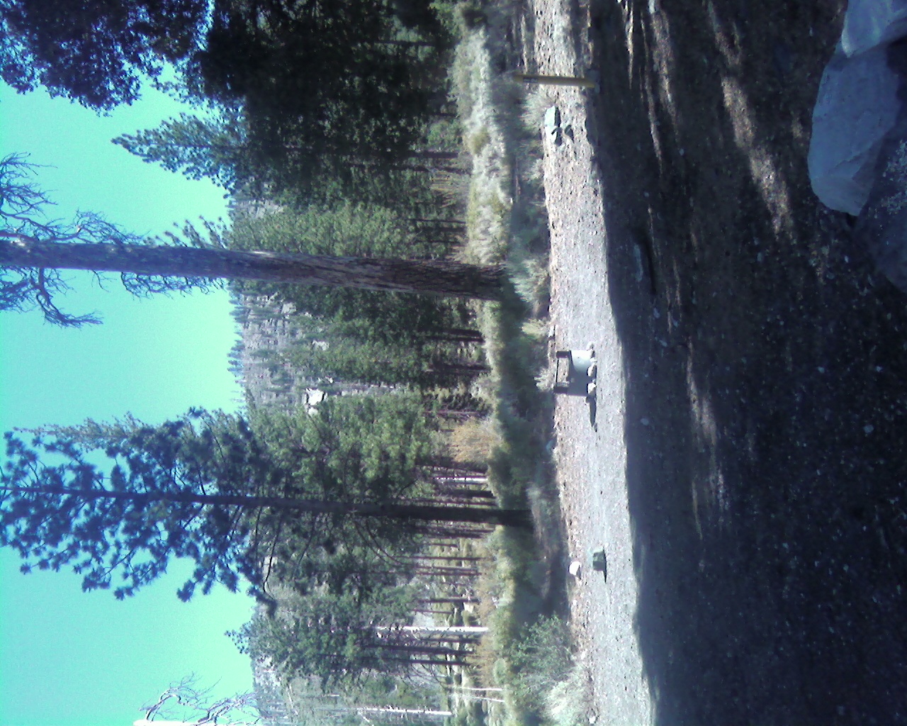
Where Morgan's Grove meets Bentley's Dream, with "trail" in lower right
Image

Look closely and you might be able to see the Bighorn Sheep
Image

Telegraph Peak seen from the Baldy fire road
Image

Coldwater Canyon heading east toward Lytle Creek's north fork
Image

Dawson Peak in the distance
Image

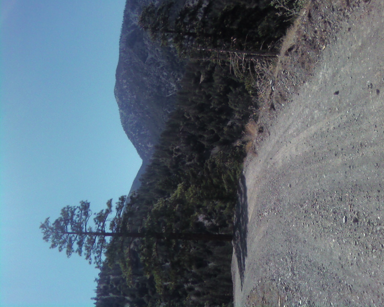
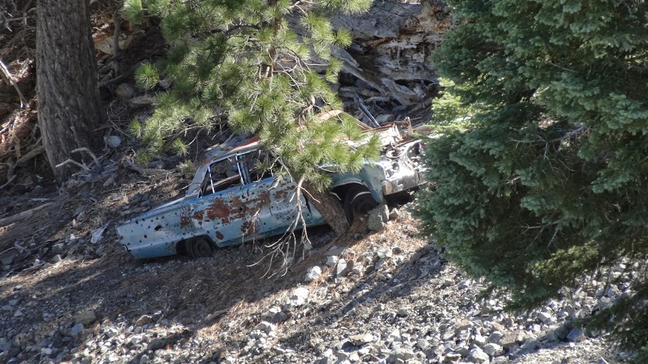
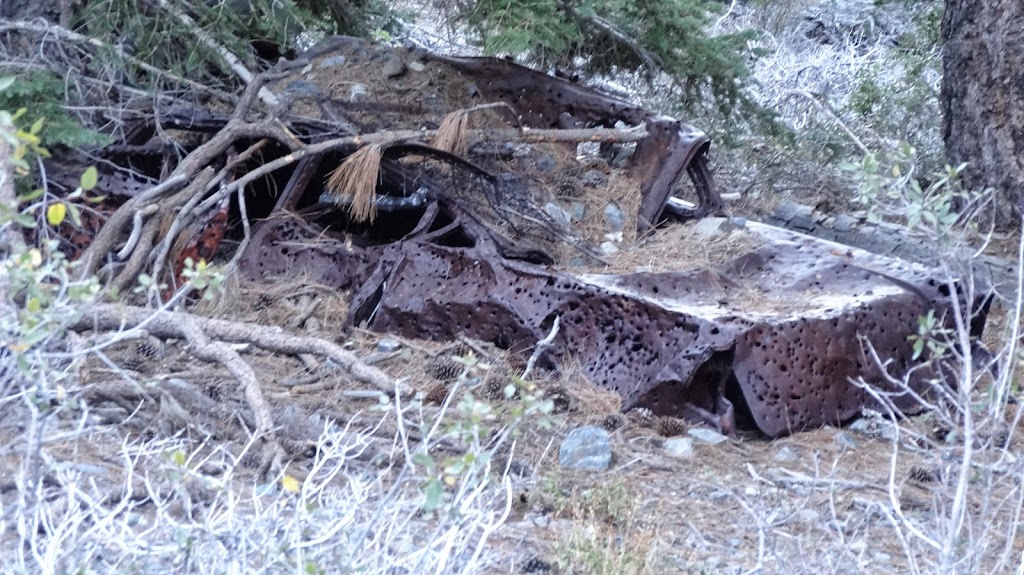
Exploring around the Stockton Flat area
Image

Stockton Flat campsite
Image
User avatar
Uncle Rico
Posts: 1402
Joined: Thu Mar 20, 2008 7:48 pm

Post by Uncle Rico »

So is the fireroad the only realistic non-cross country option dropping down and climbing back out of Stockton Flat?
User avatar
Sean
Cucamonga
Posts: 3792
Joined: Wed Jul 27, 2011 12:32 pm

Post by Sean »

It appears that way. I searched around for awhile and couldn't find any alternate trails into Stockton Flat.
User avatar
HikeUp
Posts: 3861
Joined: Thu Sep 27, 2007 9:21 pm

Post by HikeUp »

I always thought walking straight down Coldwater Canyon from the saddle between Thunder and Telegraph would go quite easily. Then take the road back up to the notch.

Image

Just a hunch.

Cool hike Sean!
User avatar
Uncle Rico
Posts: 1402
Joined: Thu Mar 20, 2008 7:48 pm

Post by Uncle Rico »

I thought about that as a possibility too HU. From your pic, it looks quite doable.
User avatar
Sean
Cucamonga
Posts: 3792
Joined: Wed Jul 27, 2011 12:32 pm

Post by Sean »

HikeUp wrote: I always thought walking straight down Coldwater Canyon from the saddle between Thunder and Telegraph would go quite easily.
There was some kind of road heading up Coldwater Canyon's west bank. Anyone know how far it goes or the condition? Obviously it doesn't go all the way to the Thunder/Telegraph saddle.

Dirt road heading up Coldwater Canyon (lower middle)
Image
User avatar
HikeUp
Posts: 3861
Joined: Thu Sep 27, 2007 9:21 pm

Post by HikeUp »

You can easily see that portion of the dirt road on the satellite views. Do not know where the road goes but it doesn't look like it goes very far. Looking at the sat view, I can sort of imagine the road switching back down into the canyon bottom.

Coldwater Campground is just off to the left of your picture. Road 3N06A is how you get there, and this road in your picture just seems to be an extension of that road.
User avatar
Pat
Posts: 39
Joined: Mon Jul 21, 2008 10:11 pm

Post by Pat »

I wonder if that's basically the route of the original wagon road to Baldy Notch?
User avatar
AW~
Posts: 2044
Joined: Mon Oct 01, 2007 12:00 pm

Post by AW~ »

HikeUp wrote: You can easily see that portion of the dirt road on the satellite views. Do not know where the road goes but it doesn't look like it goes very far. Looking at the sat view, I can sort of imagine the road switching back down into the canyon bottom.

Coldwater Campground is just off to the left of your picture. Road 3N06A is how you get there, and this road in your picture just seems to be an extension of that road.
Sounds like an explore is in order? Supposedly there was activity at elev 8140 in Coldwater canyon.

Image
User avatar
Taco
Snownado survivor
Posts: 6014
Joined: Thu Sep 27, 2007 4:35 pm

Post by Taco »

I've always meant to go down there. I've only been a short distance down Coldwater, just enough for climbing up the NW Face of Telegraph. I think I've heard a waterfall near the bottom of the canyon before from 3n06.
User avatar
Hikin_Jim
Posts: 4686
Joined: Thu Sep 27, 2007 9:04 pm

Post by Hikin_Jim »

Cool stuff, Sean, with lots of good info.

I'm surprised though that you didn't report on the availability of free automobiles. "Some assembly required."

Image

Image

HJ
User avatar
Sean
Cucamonga
Posts: 3792
Joined: Wed Jul 27, 2011 12:32 pm

Post by Sean »

Where is the car? I didn't even see it.
User avatar
Hikin_Jim
Posts: 4686
Joined: Thu Sep 27, 2007 9:04 pm

Post by Hikin_Jim »

If you were ascending the road, it would be just before that panoramic point where you left the road.

HJ
Post Reply