Ross Mountain
Posted: Sun Jun 02, 2013 8:34 am
Have been staring at Ross on the topo for a good long while now and looking for the right opportunity to check it out. Yesterday, that opportunity presented itself so I jumped at it. Some folks from the HPS were making the trek from Dawson Saddle out to Ross (with stops at Throop, Burnham, and BP along with way) so I decided to join them for the fun.
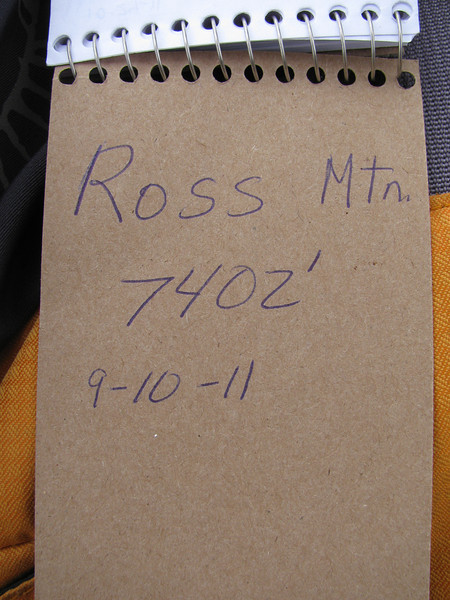
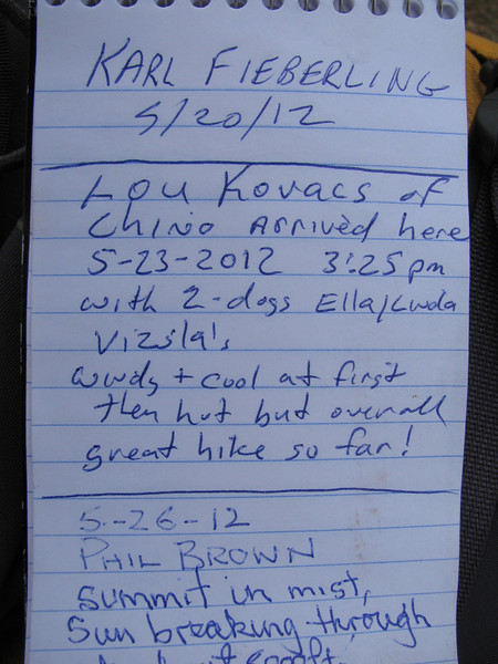
From BP, you drop 2000 feet down the ridgeline following an obvious use trail. The trail is steep and loose in places, particularly the 2nd 1000 feet before the summit. Climbing out is a pretty good pull, although no problem for all you young bucks. The summit itself is not particularly note worthy although it affords some interesting views, particularly of Iron. We looked for the summit register, but it has apparently been "removed." Weather was warm, but not as bad as it could be as a slight breeze was blowing. The climb back to BP is exposed and would be uncomfortable on a hot summer day.
Some pics.
Mt. Lewis from the trail leading up from Dawson Saddle
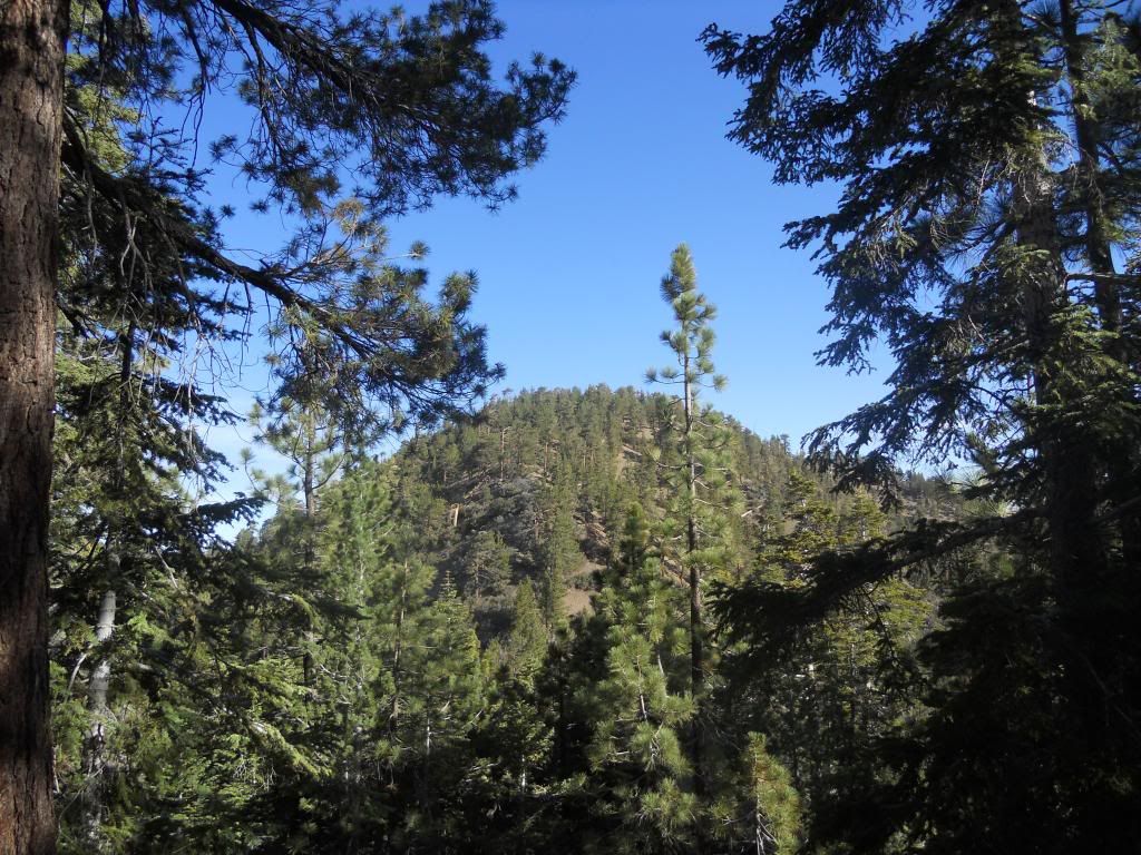
Ross from the PCT
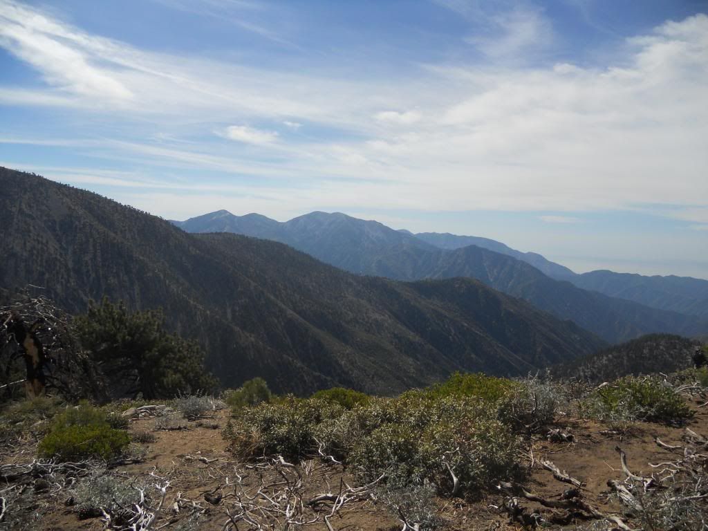
Ridgeline Leading Down to Ross.
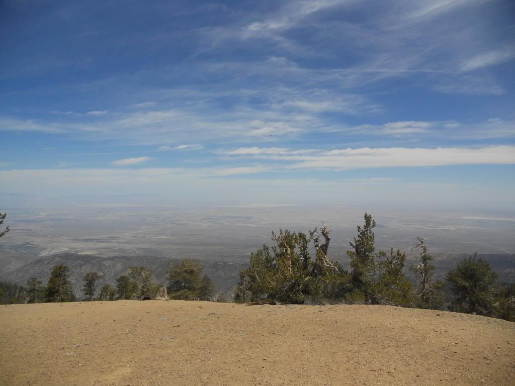
High Desert from Baden-Powell
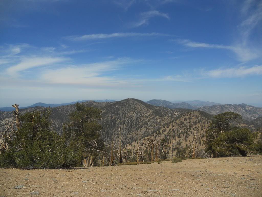
Throop and Burnham from Baden-Powell
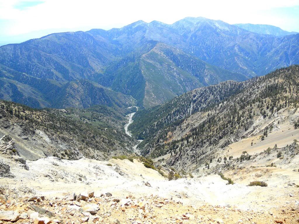
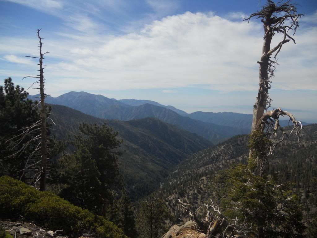
Mine Gulch and Pine Mountain Ridge
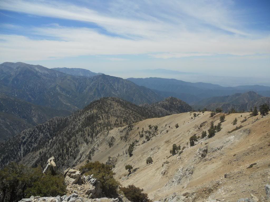
Ridgeline Down to Ross. Rattlesnake in the Distance to the Right?
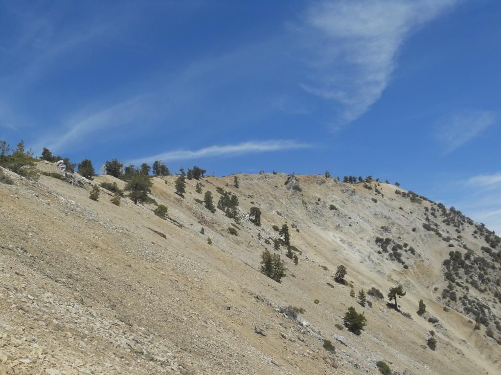
Looking Back at Baden-Powell
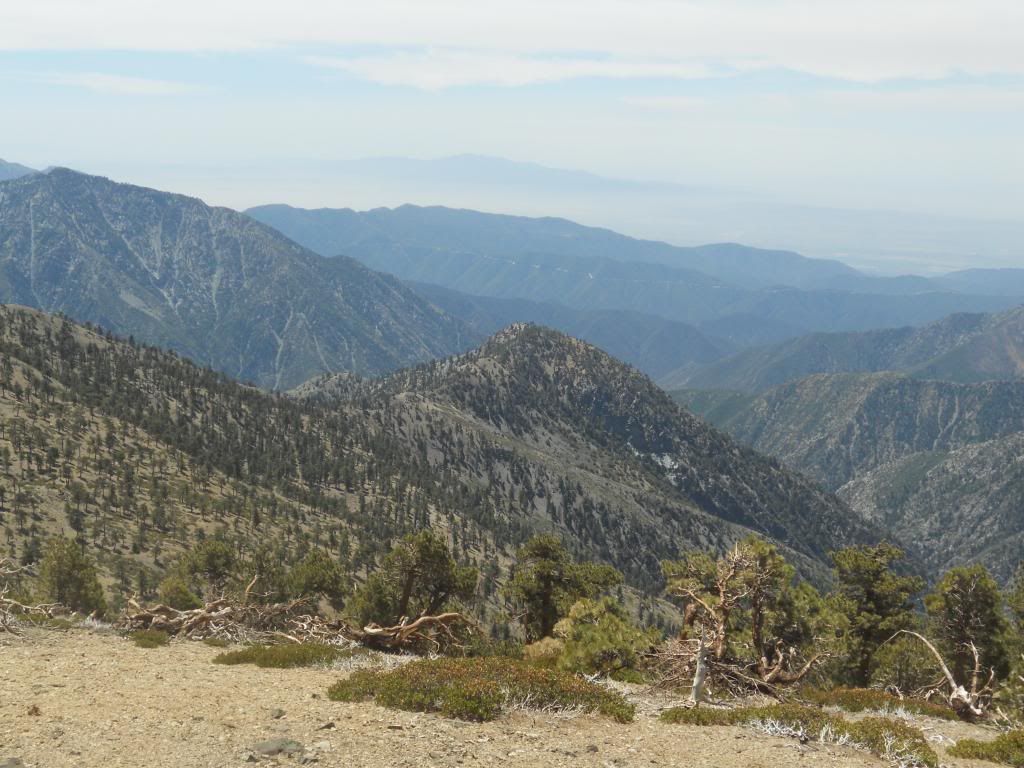
Ross from the Ridgeline
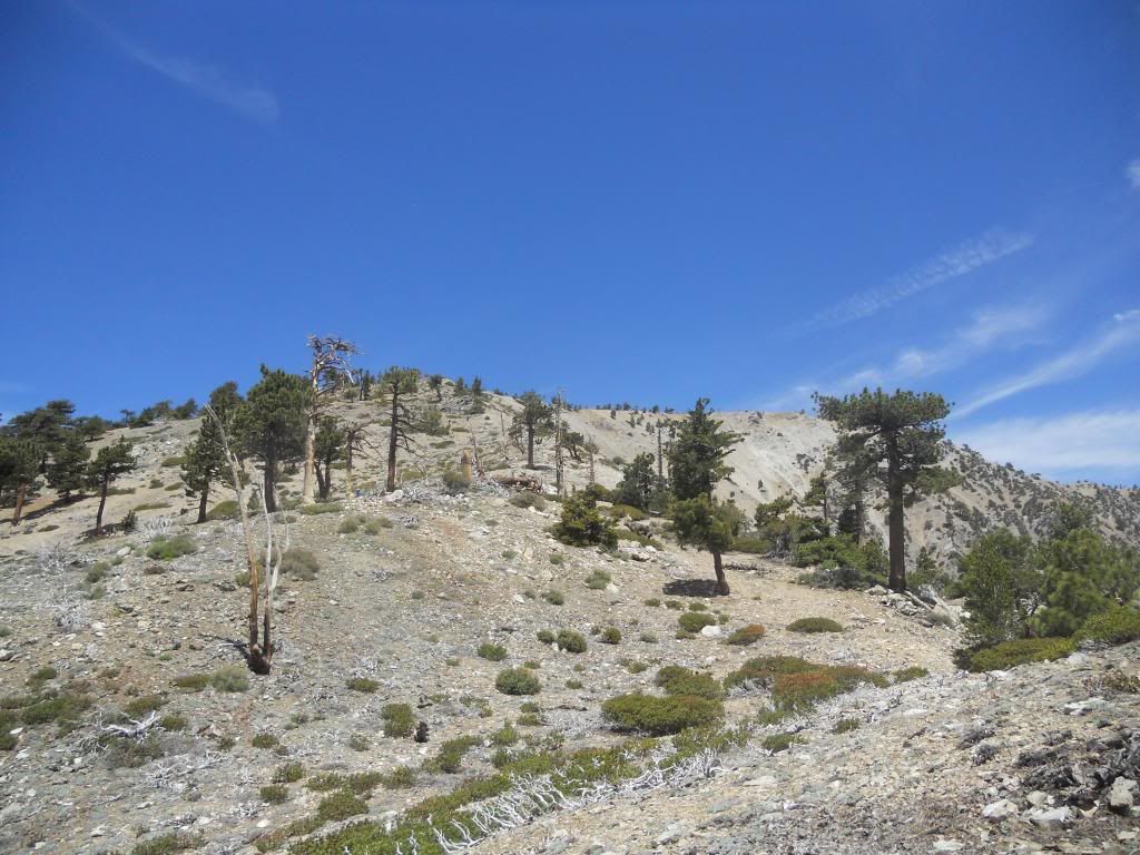
Looking Back to Baden-Powell Mid-Ridge
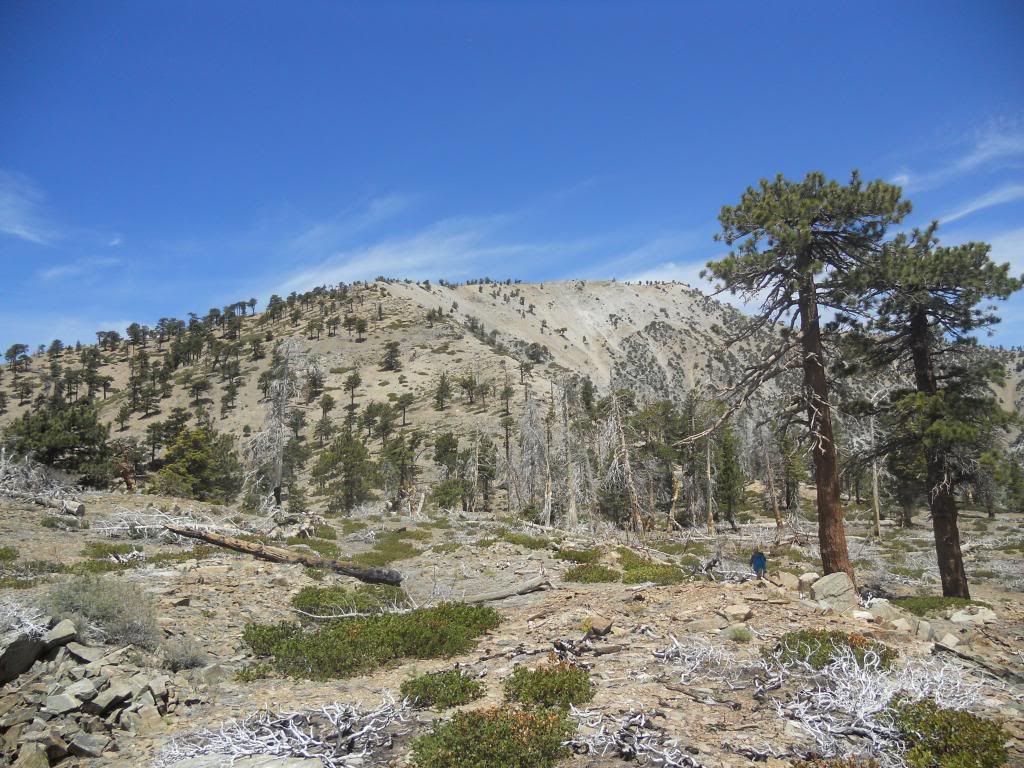
Another Pic of the First 1000 Feet of Elevation Loss
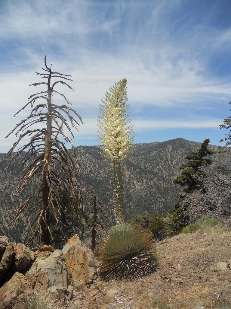
Blooming Yucca Along the Ridge
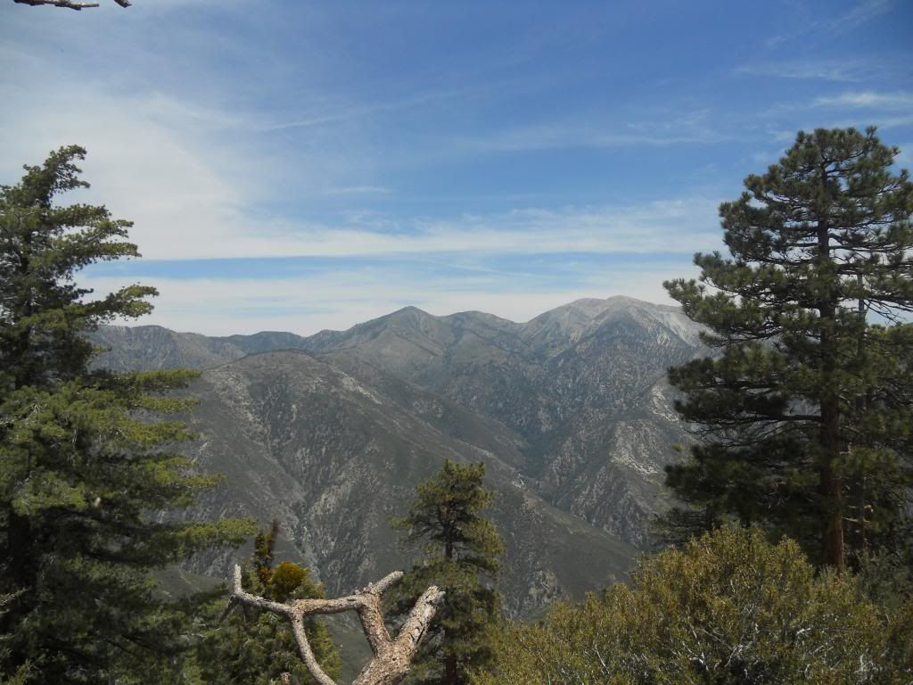
Baldy and Co. from Ross
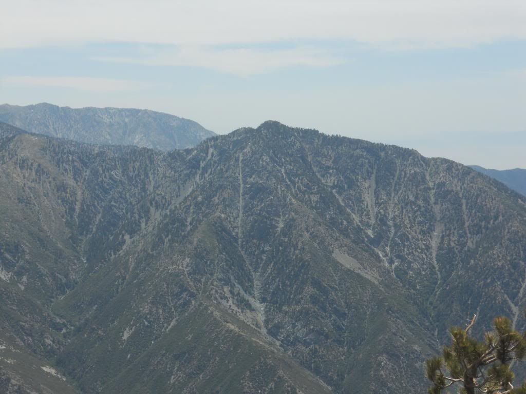
Iron from Ross
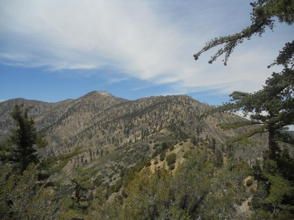
Heading Back to Baden-Powell

Ascending Ross Ridge
From BP, you drop 2000 feet down the ridgeline following an obvious use trail. The trail is steep and loose in places, particularly the 2nd 1000 feet before the summit. Climbing out is a pretty good pull, although no problem for all you young bucks. The summit itself is not particularly note worthy although it affords some interesting views, particularly of Iron. We looked for the summit register, but it has apparently been "removed." Weather was warm, but not as bad as it could be as a slight breeze was blowing. The climb back to BP is exposed and would be uncomfortable on a hot summer day.
Some pics.

Mt. Lewis from the trail leading up from Dawson Saddle

Ross from the PCT

Ridgeline Leading Down to Ross.

High Desert from Baden-Powell

Throop and Burnham from Baden-Powell

Mine Gulch and Pine Mountain Ridge

Ridgeline Down to Ross. Rattlesnake in the Distance to the Right?

Looking Back at Baden-Powell

Ross from the Ridgeline

Looking Back to Baden-Powell Mid-Ridge

Another Pic of the First 1000 Feet of Elevation Loss

Blooming Yucca Along the Ridge

Baldy and Co. from Ross

Iron from Ross

Heading Back to Baden-Powell

Ascending Ross Ridge
