From the Icehouse Canyon Trail, we branched off onto the Chapman Trail. About 200 feet beyond the 1-mile sign, this trail sharply switchbacks away from the dry creekbed. We decided to boulder-hop up the creekbed, bypassing the switchbacks and regaining the trail after a quarter-mile. The pleasant shade of Cedar Glen campground greeted us soon after that.
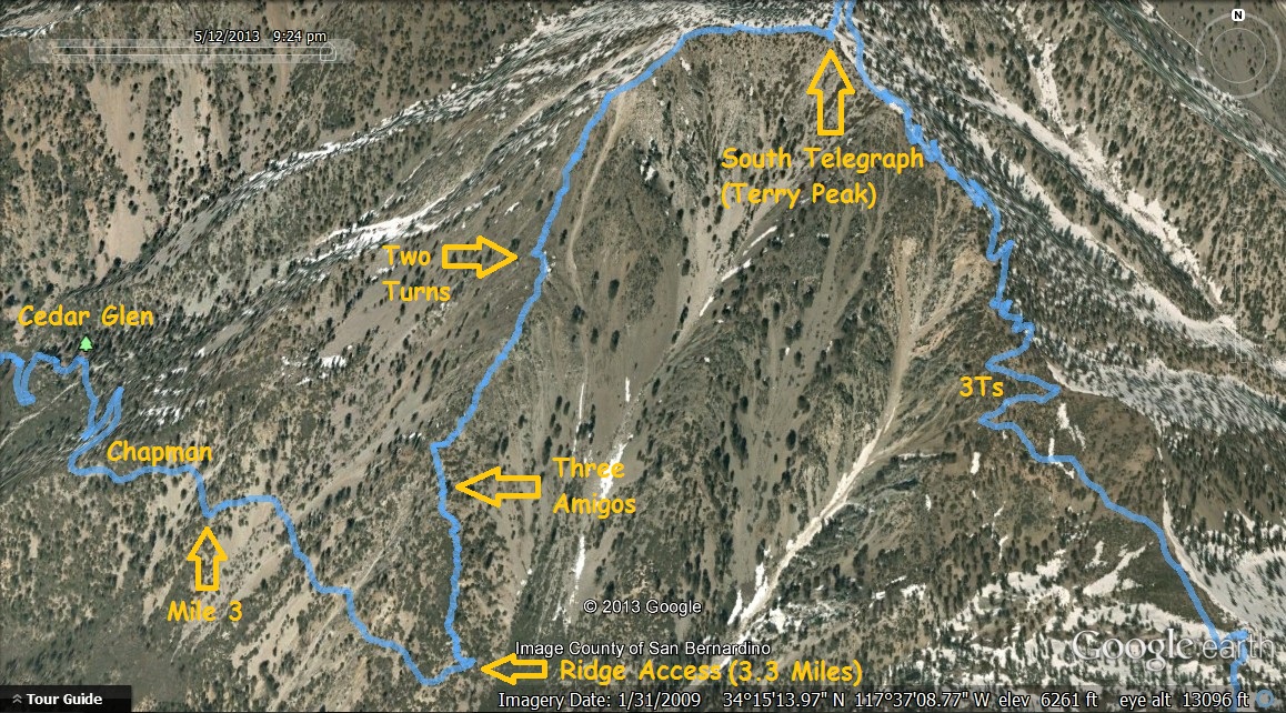
Continuing beyond Cedar Glen, we reached the access point for Telegraph's southwest ridge at 4:41 PM. This point is 3.3 miles from the parking lot if you take the creekbed bypass. If you stay on the trail the whole way, it's about 3.5 miles.
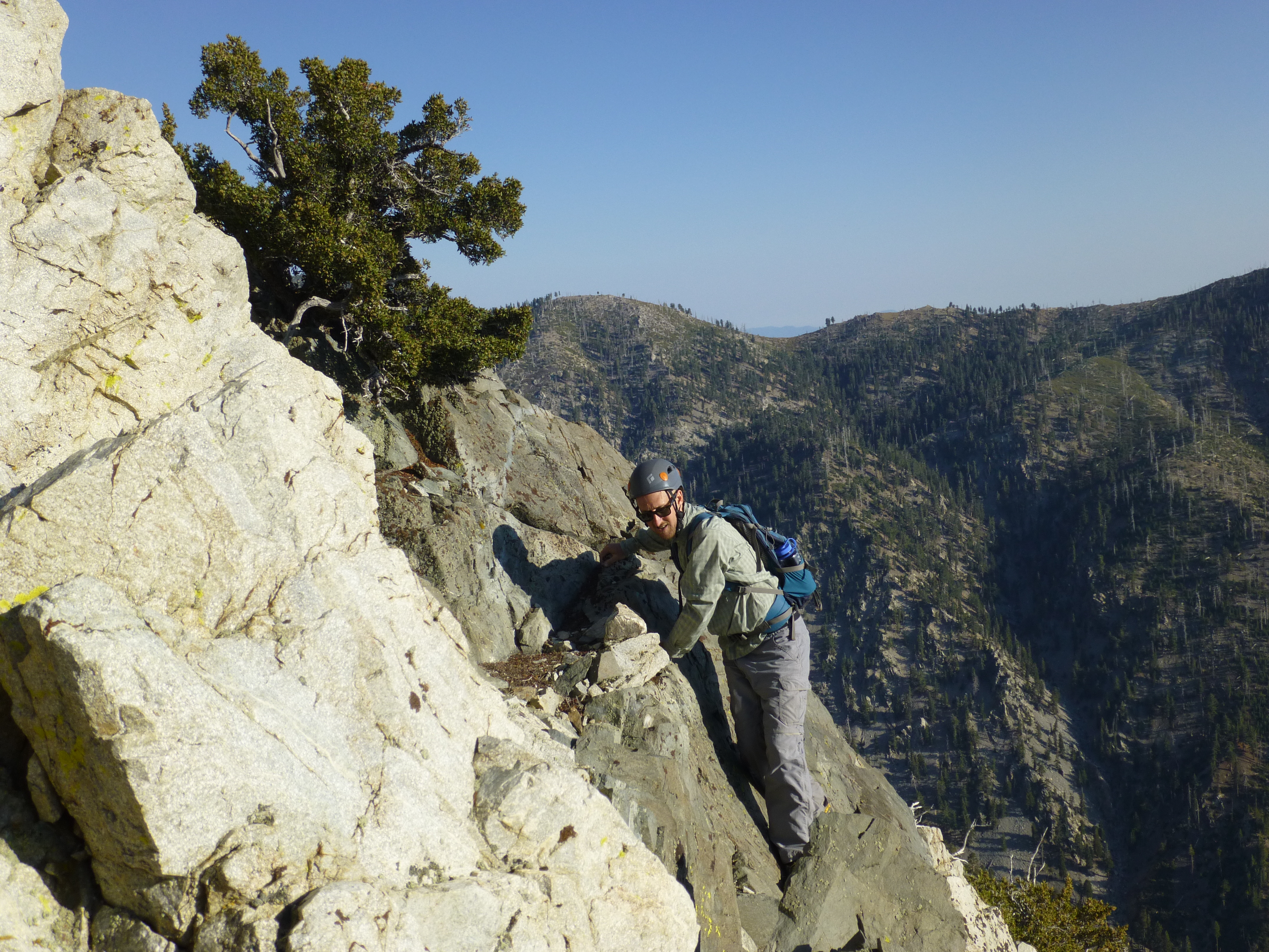
Previously I had considered blasting straight up the middle (or top) of the ridge, which initially seemed like the path of least resistance. But after climbing only 60 feet during a recent scouting trip, I encountered an unwelcoming wall of buckthorn. I then discovered a better start 200 feet to the right of ridge-center. This route immediately scrambles up some rocks, passes along the steep eastern slope, and pushes through a couple non-thorny bushes. It then lands on the ridgetop 100 feet above the access point, having avoided the most troublesome section of buckthorn.
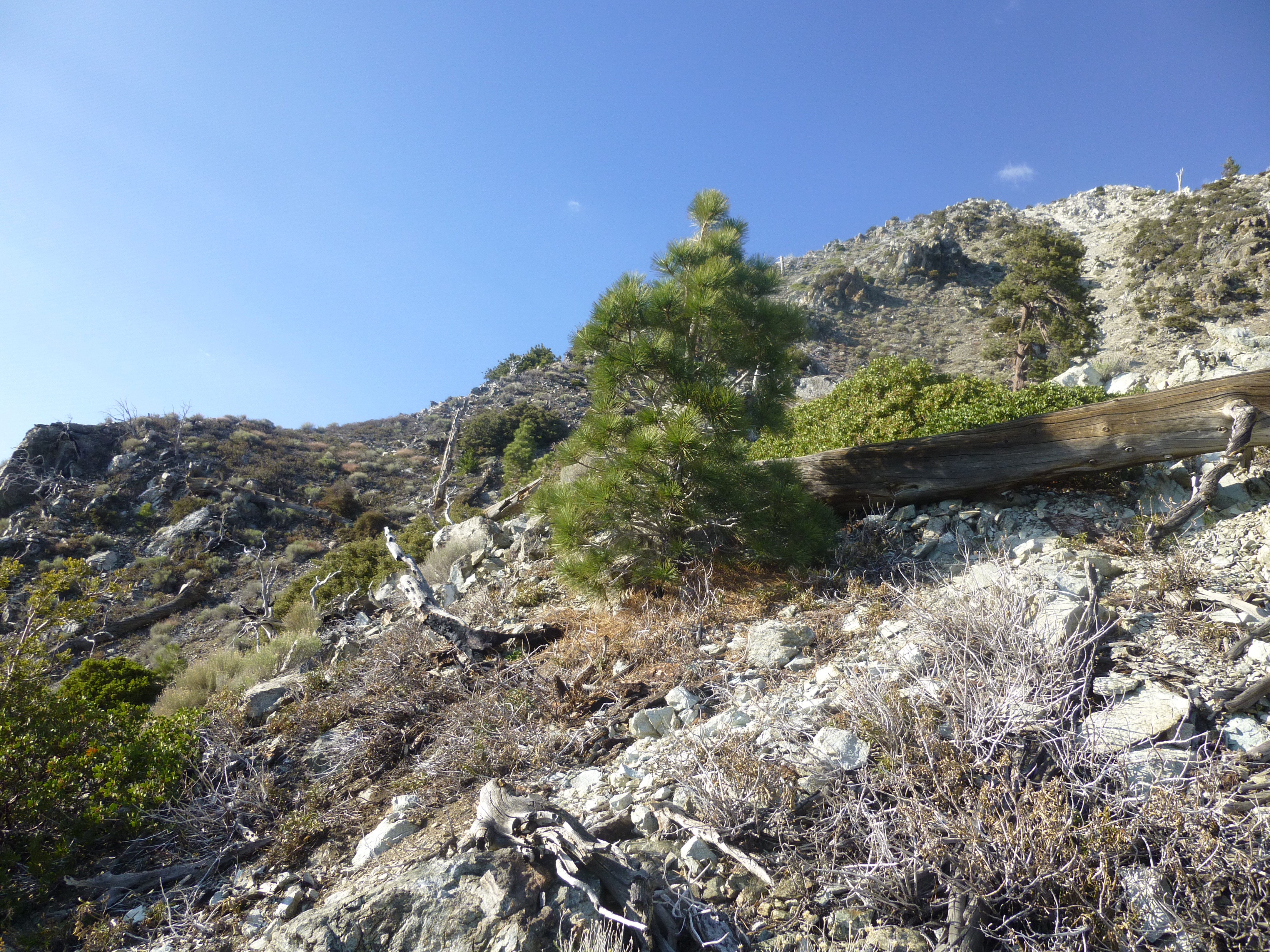
Done with the bypass, we were then able to walk (sometimes with all fours) the very steep spine up to a trio of trees, presently named in honor of the Three Amigos. Beyond this bunch of trees, the ridgetop again becomes particularly nasty, so we traversed left approximately 250 feet to a small splinter ridge, which we then followed back up to the main ridge.
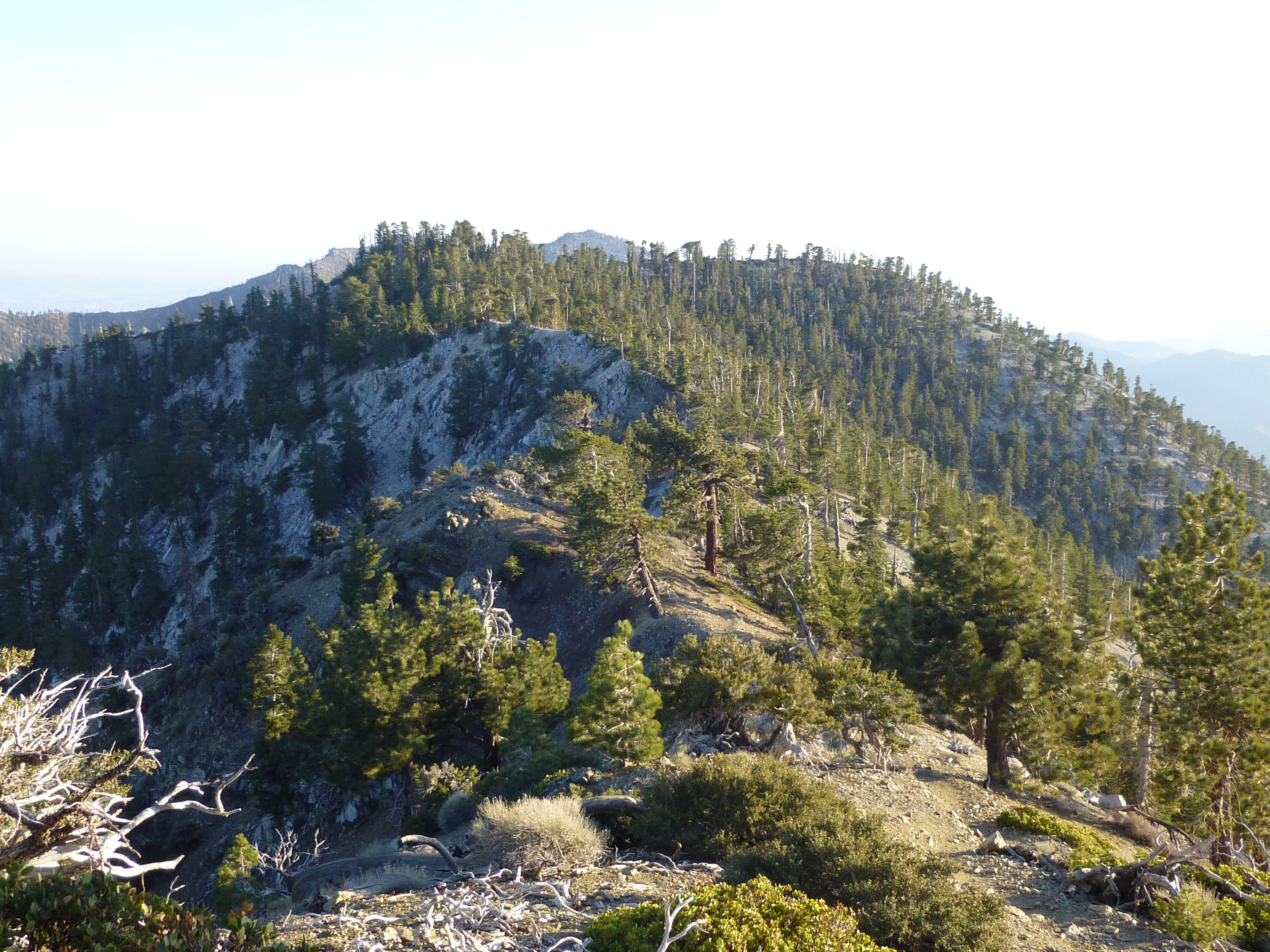
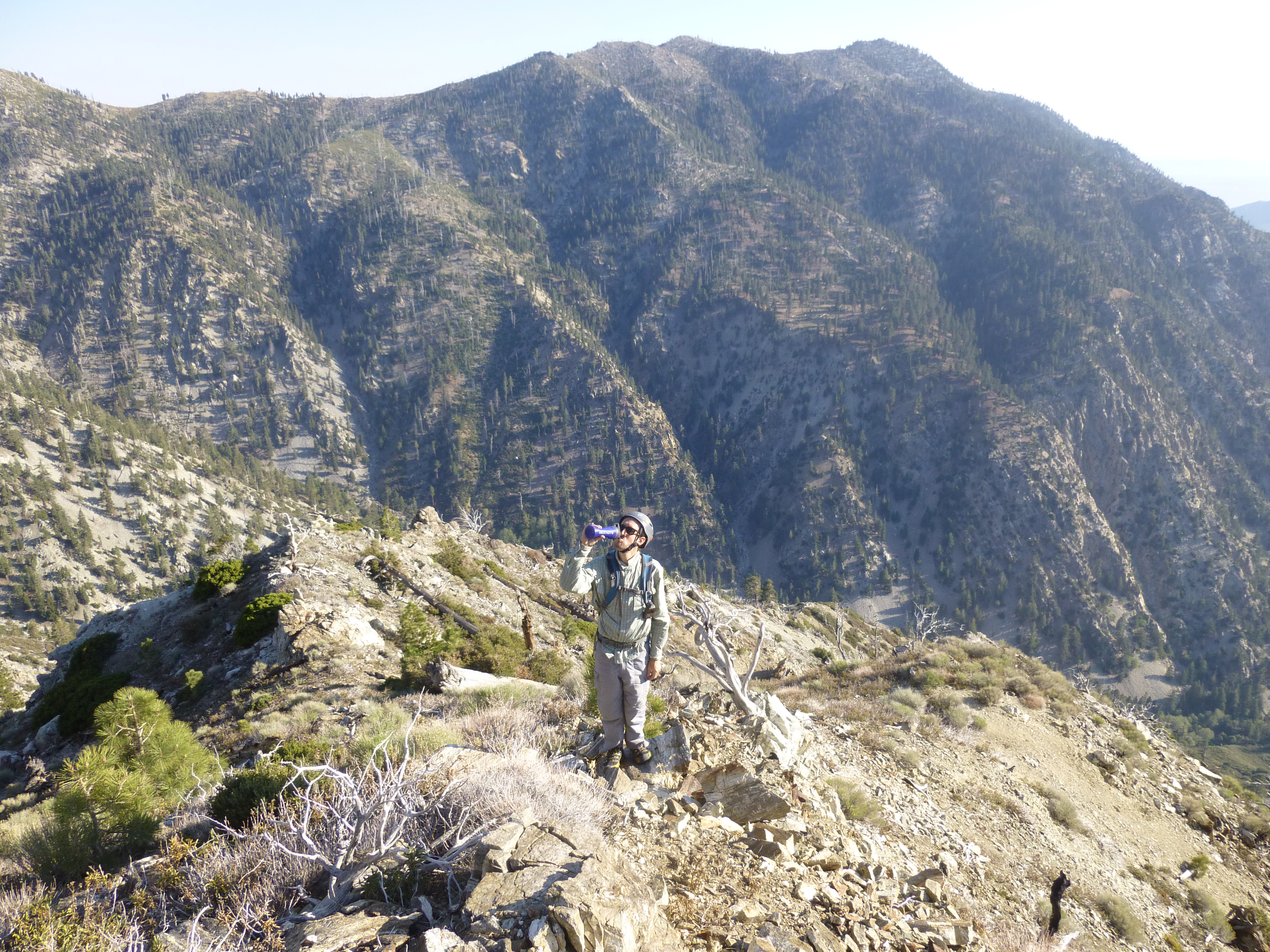
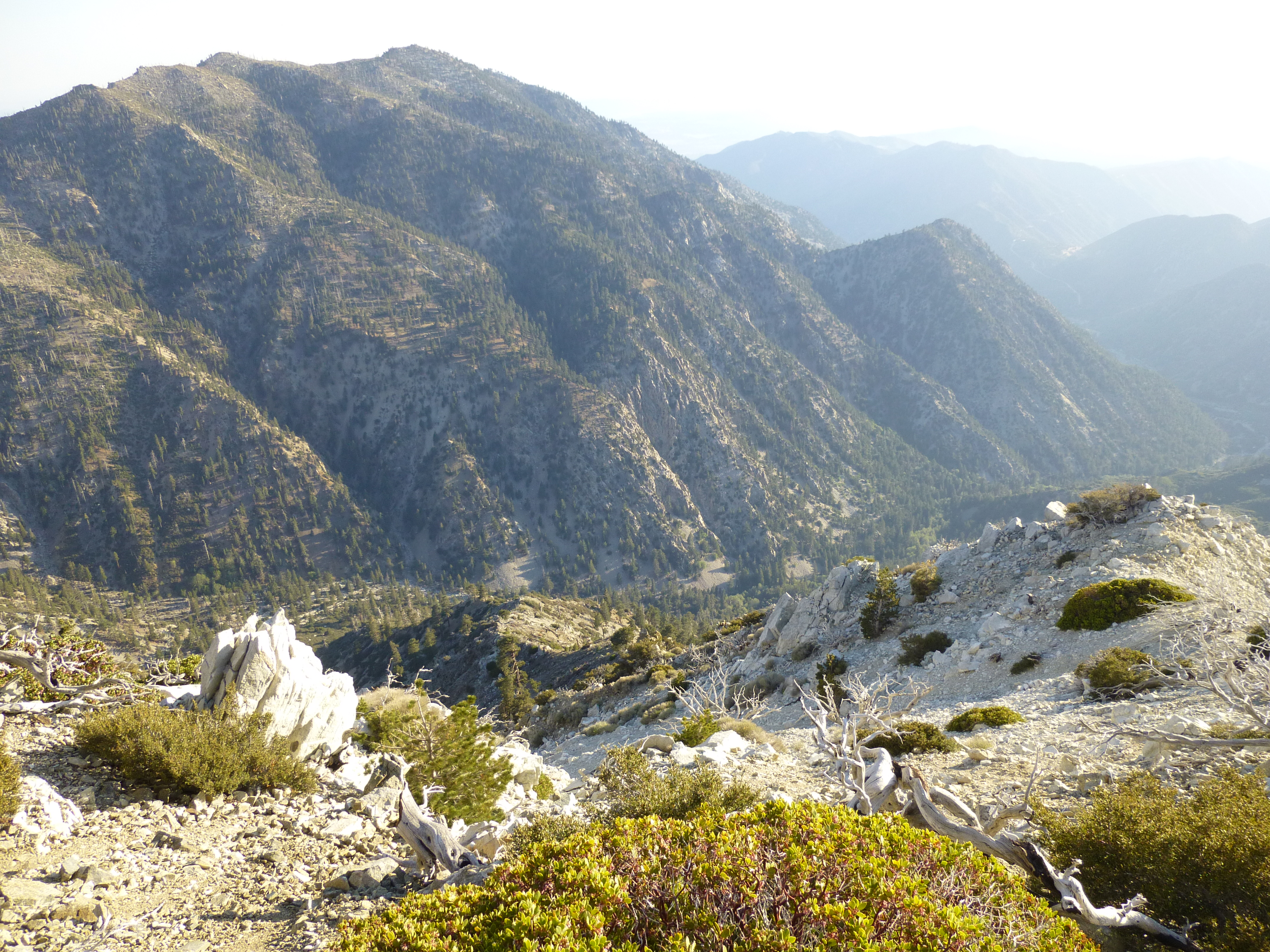
Above this traverse, the ridge is very rocky with some class 3 work. The few remaining trees are diminutive and wind-beaten. The mountain's silence was interrupted only by some unseen bird regularly calling out with a three-tone whistle. Looking out across the expanse, there was Timber Mountain, Etiwanda and Cucamonga Peaks, Bighorn, Ontario, Sugarloaf, Colver and Sunset, Lookout Mountain, West Baldy, Old Baldy, Harwood and Thunder. Immense Icehouse Canyon met with more immense San Antonio Canyon. I felt like I could sit on this ridge all day admiring the head-turning scenery.
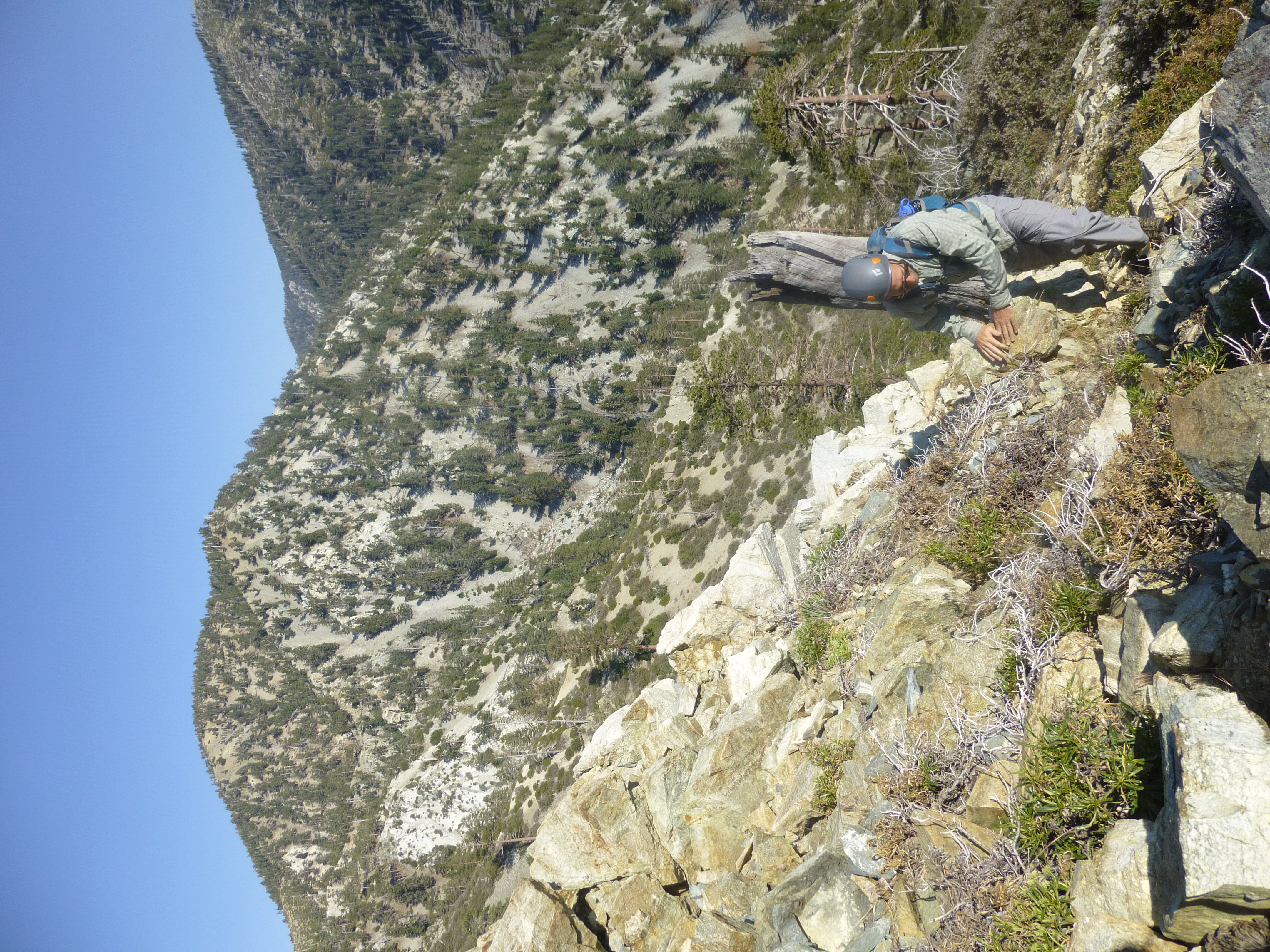
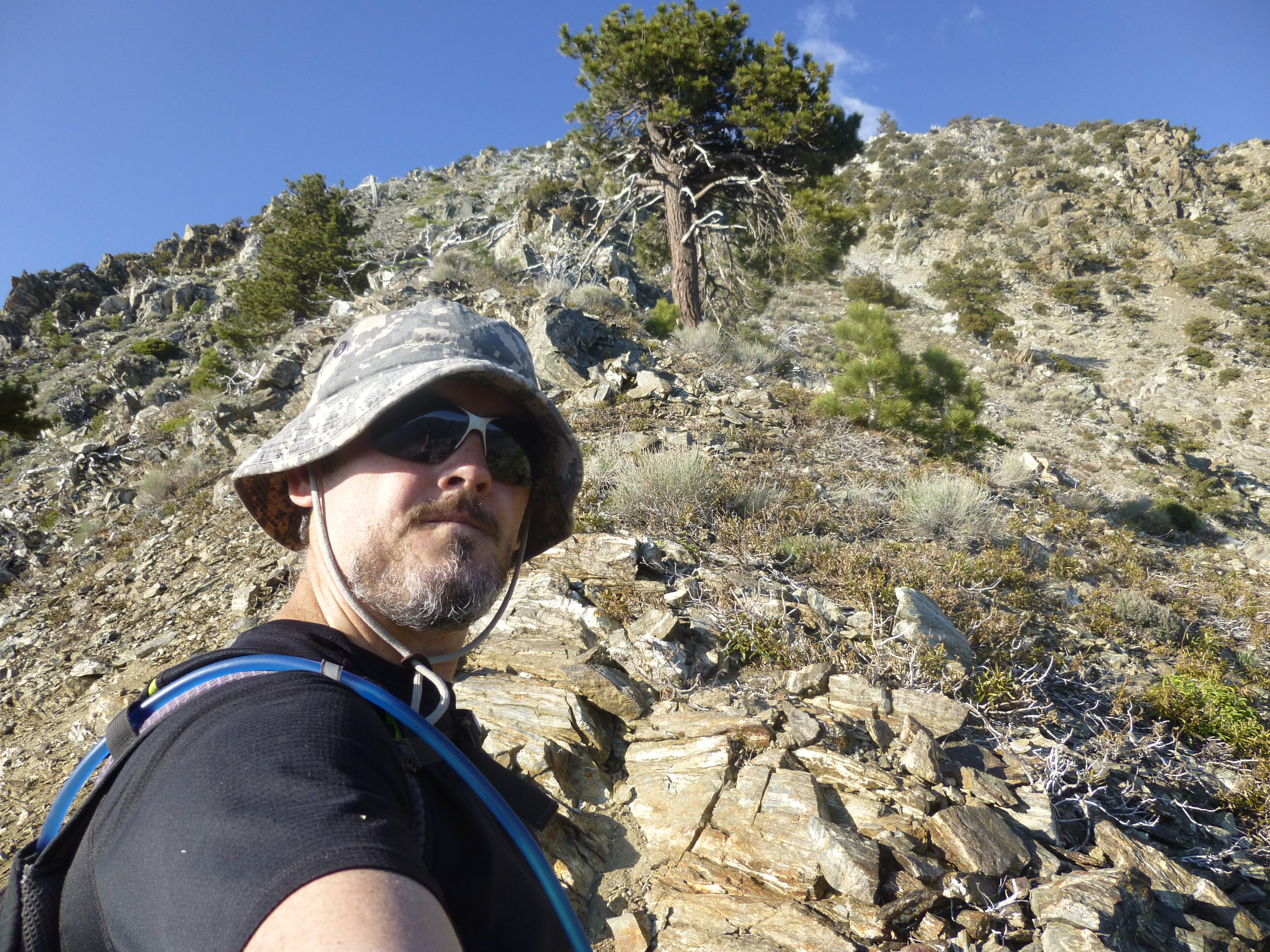
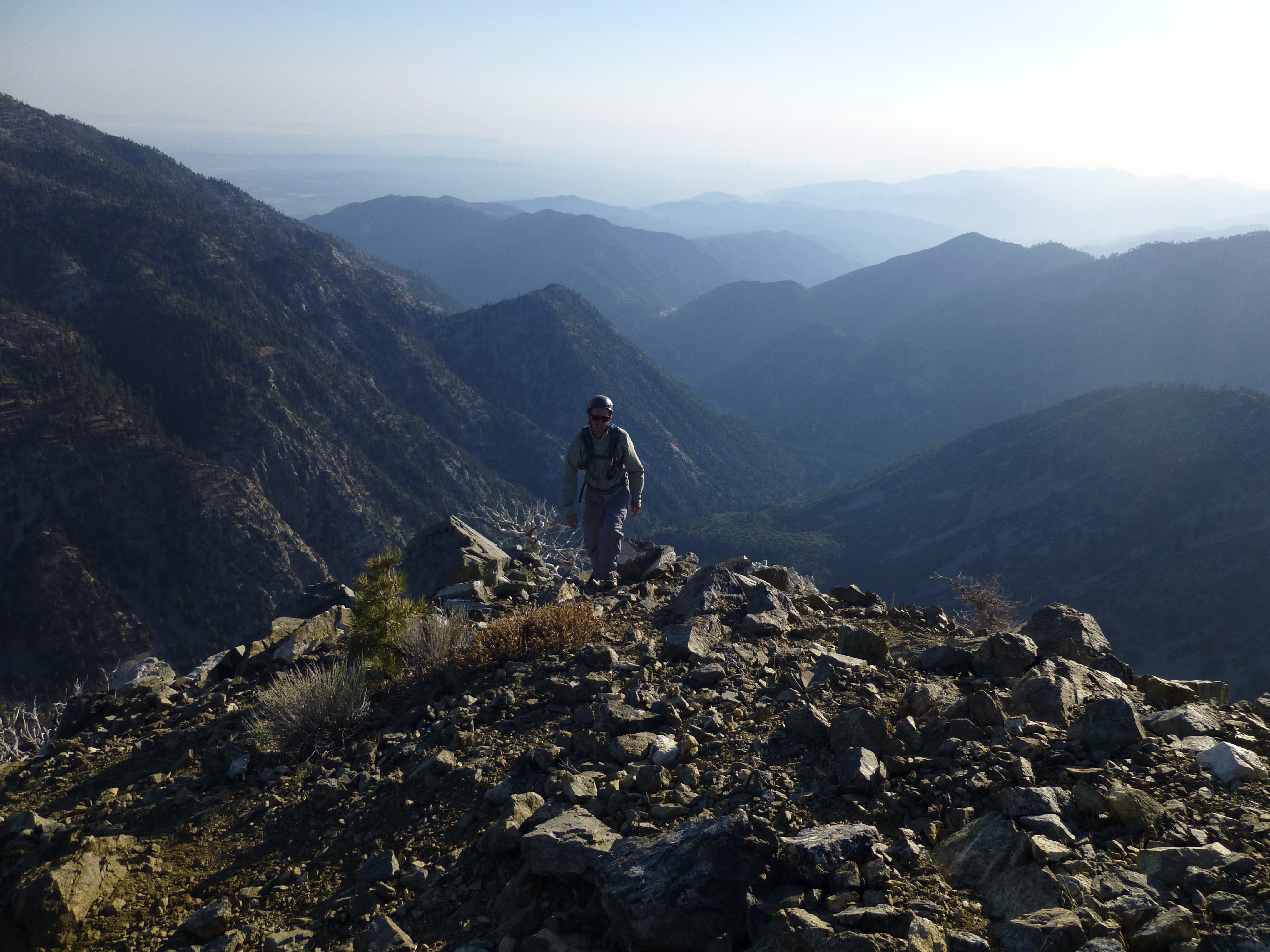
About 0.3 miles (and 740') above Three Amigos, the ridge route turns once to the left and then quickly back to the right (labelled "Two Turns" on the GPS track below). After these turns, we shot straight up the slightly broadening and increasingly steep ridge, with grades above 50%. The next 0.2 miles climbs about 600 feet, requiring zigzagging. We encountered a bit of class 3 rockclimbing, ducked under and between a tree or two, and had to use our hands to scramble up loose scree.
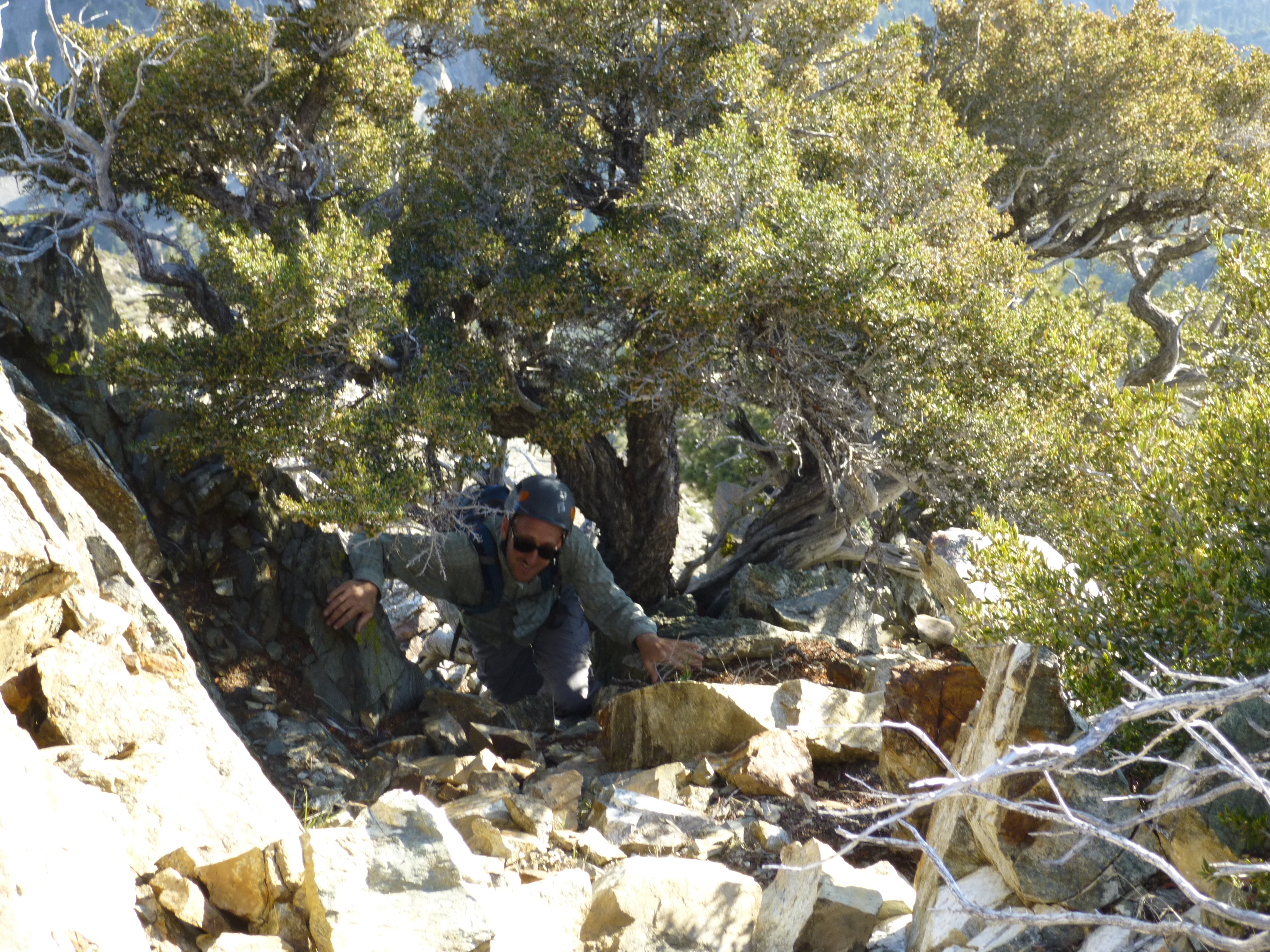
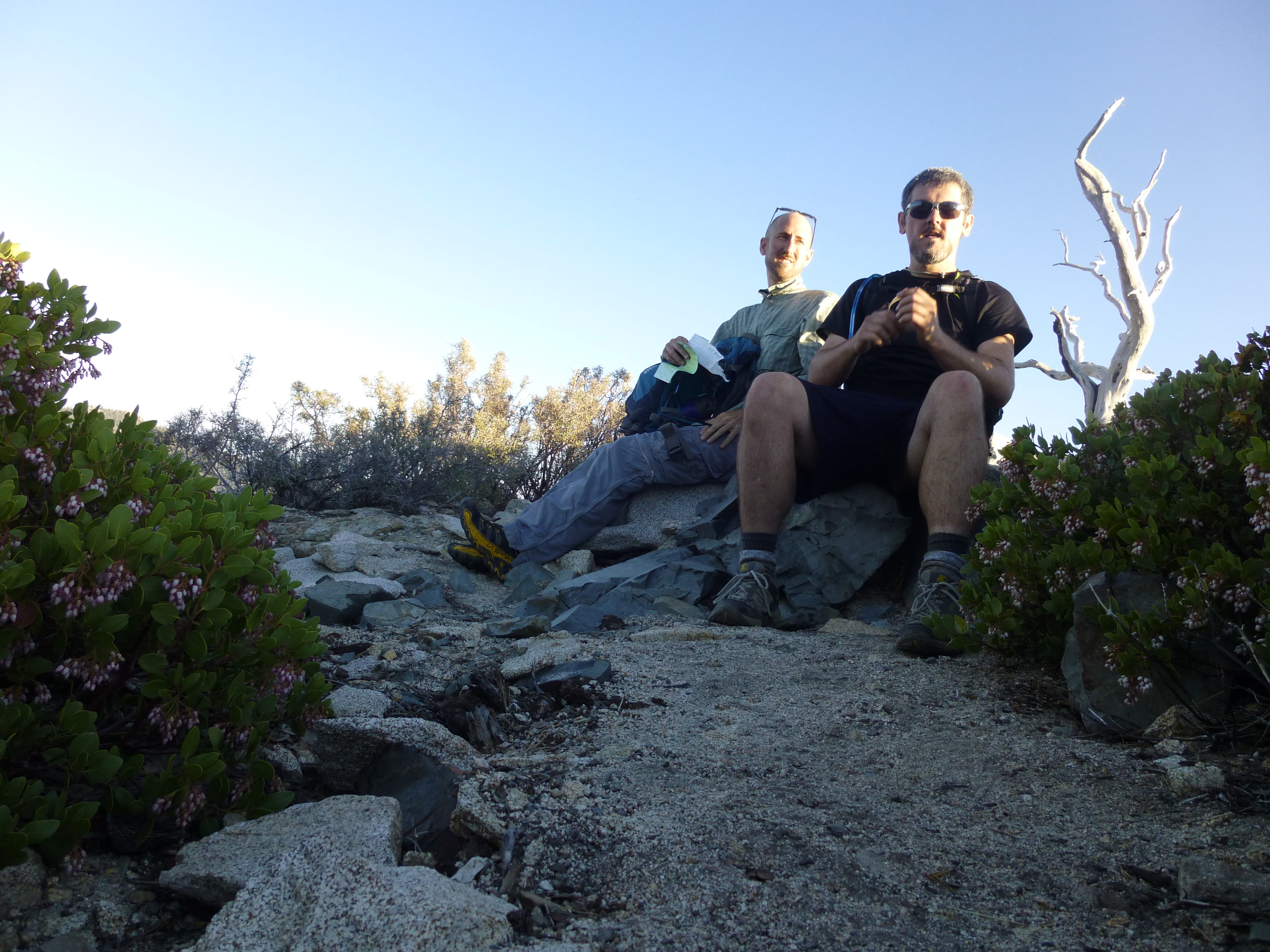
At the 8600' mark, the ridge bends to the right and provides a more moderate grade, eventually evening out before reaching the South Telegraph summit (8921'). Among the summit rocks we discovered a bottle containing a sort of register (bits of paper), unofficially identifying the spot as Terry Peak.
Brad pointed out a name on the register from 9/10/11. It was Dan Simpson, who blogged about his trip.
The time was 6:32 PM. It had taken us about 3 hours 15 minutes to cover 4.4 miles with 4000' gain. After signing the register, we visited Telegraph Peak and then returned via 3Ts and Icehouse. We were driving home by 9:24 PM.
Approaching Three Amigos

Timber Mtn in background
Two Turns
Ontario Peak in background
Looking down ridge, from the upper, easier part
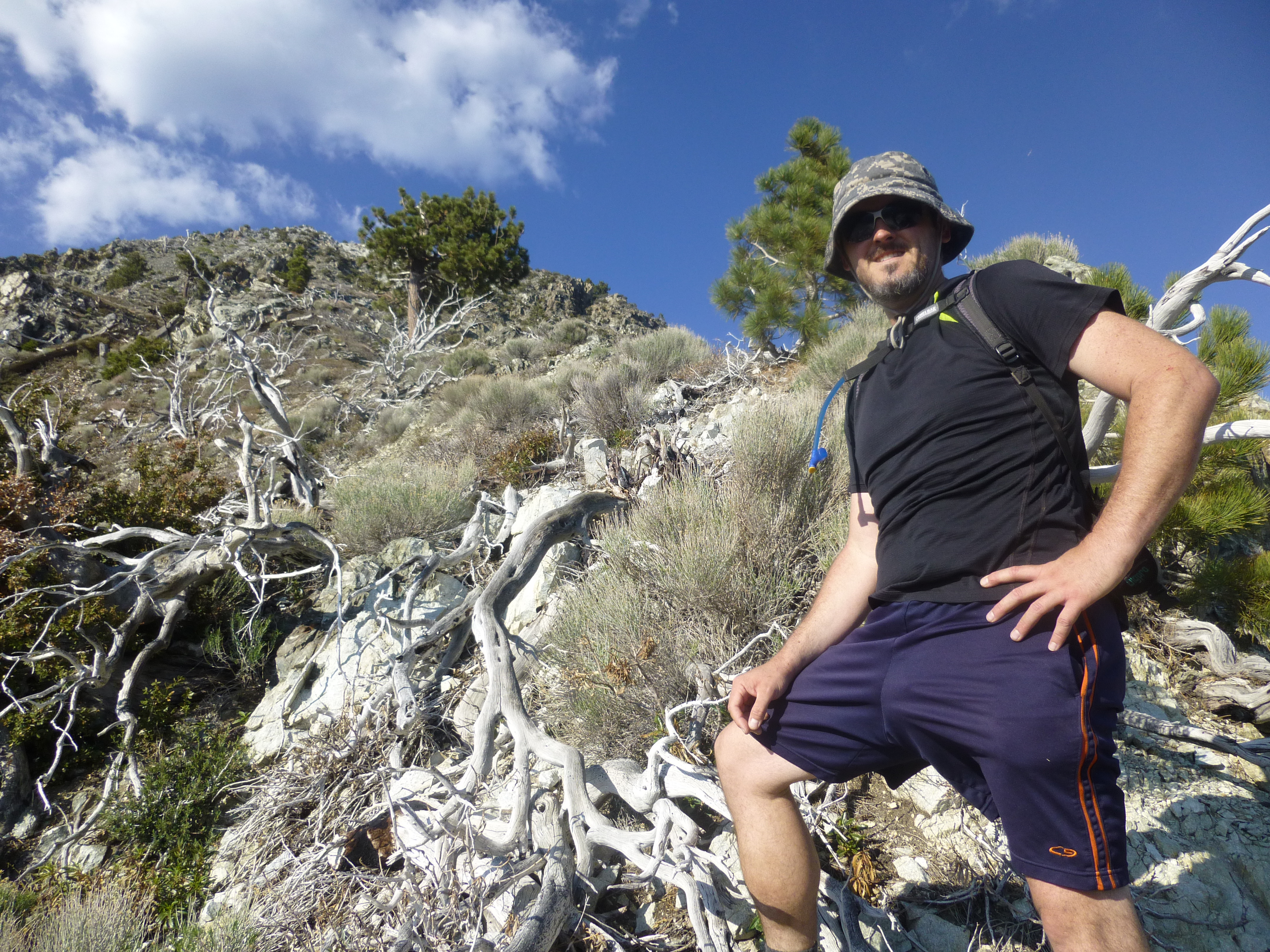
On the summit
South Telegraph (Terry Peak) seen from Telegraph Peak Trail