

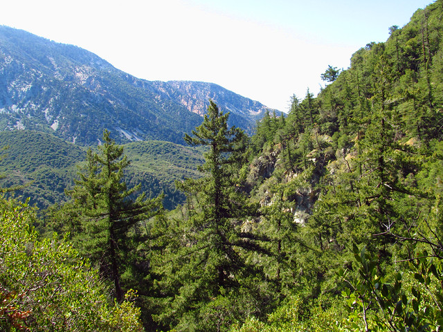
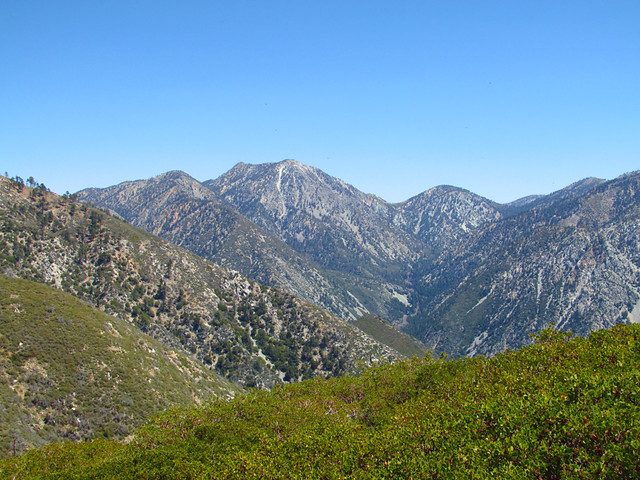
Upper West Fork of Bear Canyon
Lookout Mountain was the site of the first lookout tower in Southern California in the early 1900s. More noteworthy, though, is that it was also the location of the parabolic mirror in Albert Michelson's experiments measuring the speed of light. Only the stone supports remain (not even a plaque? Come on...), but its still pretty cool to sit there and look across the same line of sight where such a critical constant was first accurately measured.
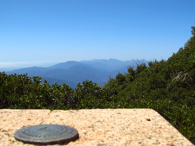
Line of Sight from Michelson's Experiments
We decided to combine the two standard routes into a loop totaling about 7.75 miles, heading up the West Fork of Bear Canyon from Bear Flat and then down the firebreak route to Cow Canyon saddle.
I won't go into great detail on the route but solid route finding skills and good trail sense are essential on this hike. There are stretches of an easy to follow path, but there are also long stretches with none at all and it's not always obvious where to go.
The firebreak route down the south ridge is also in pretty rough shape, completely washed out in spots, and it'd be easy to end up in the thick stuff if you don't do your homework beforehand.
Some more pics:
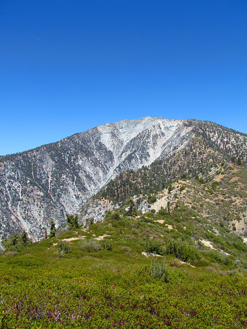
Baldy from Lookout Mountain
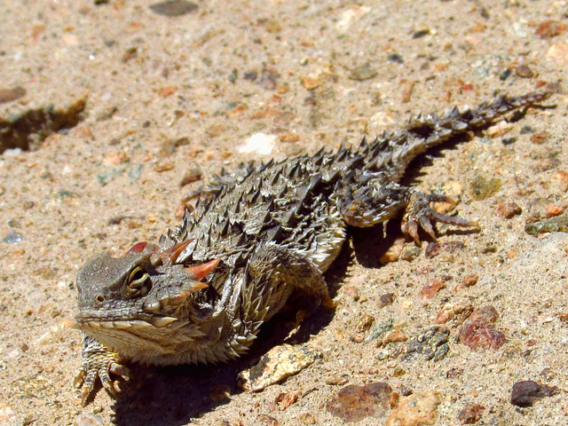
Local Resident
Three T's
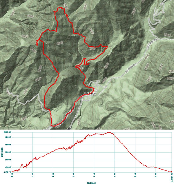
Route Details
Whole set of photos here:
http://www.flickr.com/photos/wattifoto/ ... 298527944/
Cheers 8)


