I've been scouting the area around Manker Canyon for a cross-country alternative up to Devil's Backbone. Yesterday I found one I really enjoyed. I started from Manker Flats on the Falls Rd, because I didn't want to pay the $5 parking fee at the Ski Lift. Right before Manker Canyon there is another rock-covered gully heading north from the road. My map shows a spring only a short distance in, but it wasn't flowing during my visit. Basically I followed the dry bottom, climbing rocks and pushing through a few sections of easy brush. Then I avoided what looked like heavier brush by climbing across the slope a bit. But looking at aerials later I probably should have stayed in the gully the whole way.
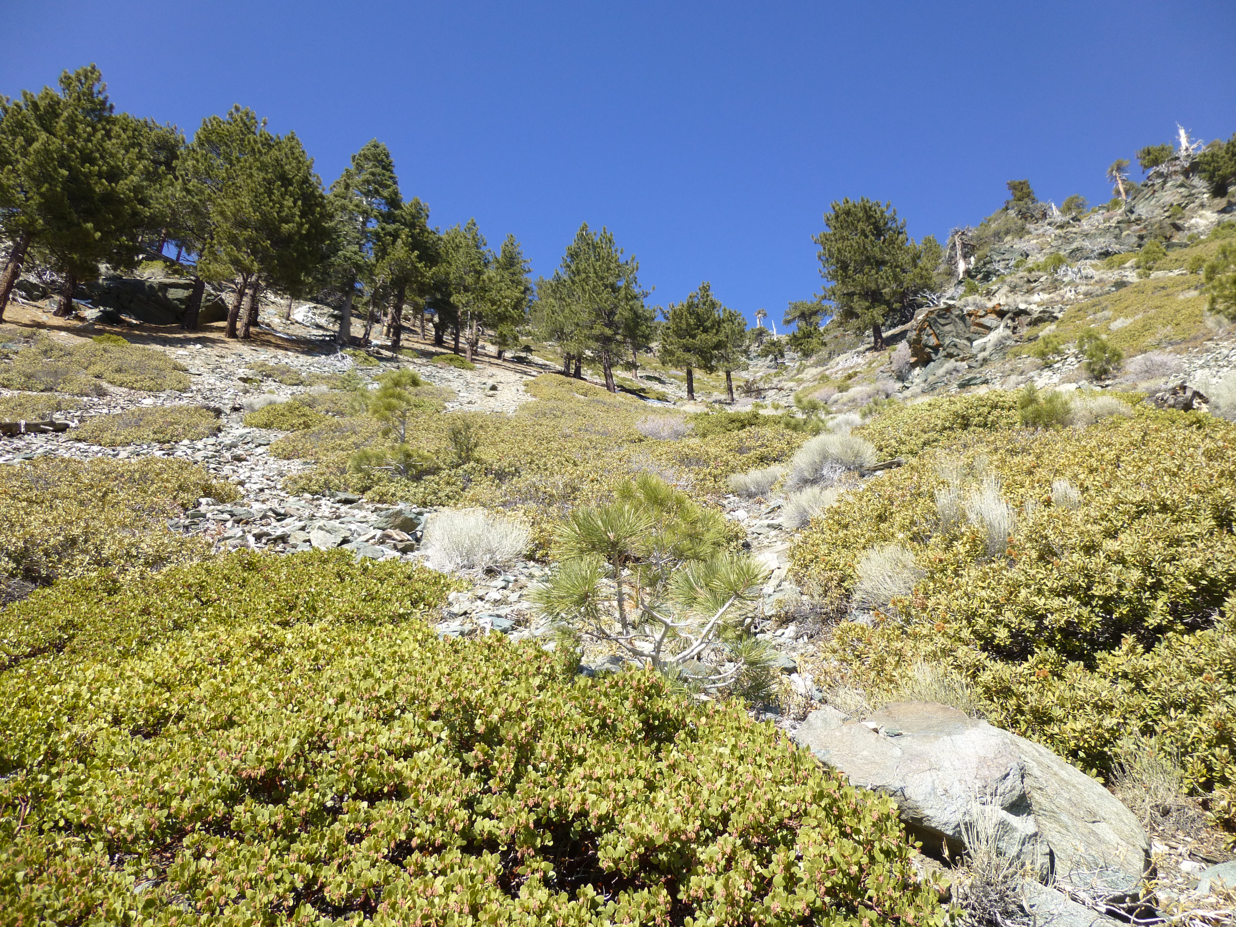
I soon regained the gulch and found a baby meadow tucked between the ridges about halfway up. There is a large fragmented rock sitting at the top of the meadow. When viewed from below, the orange and charcoal-colored rock looks a little like a human face with a twisted lip. My first thought was a Halloween mask. So that's why I'm calling this route Halloween Gulch.
From the meadow I made a slight left and followed the gully as it got a steeper and started blending into the final slope up to the Devil's Backbone. I picked a single tree up on the ridge and scrambled straight for it.
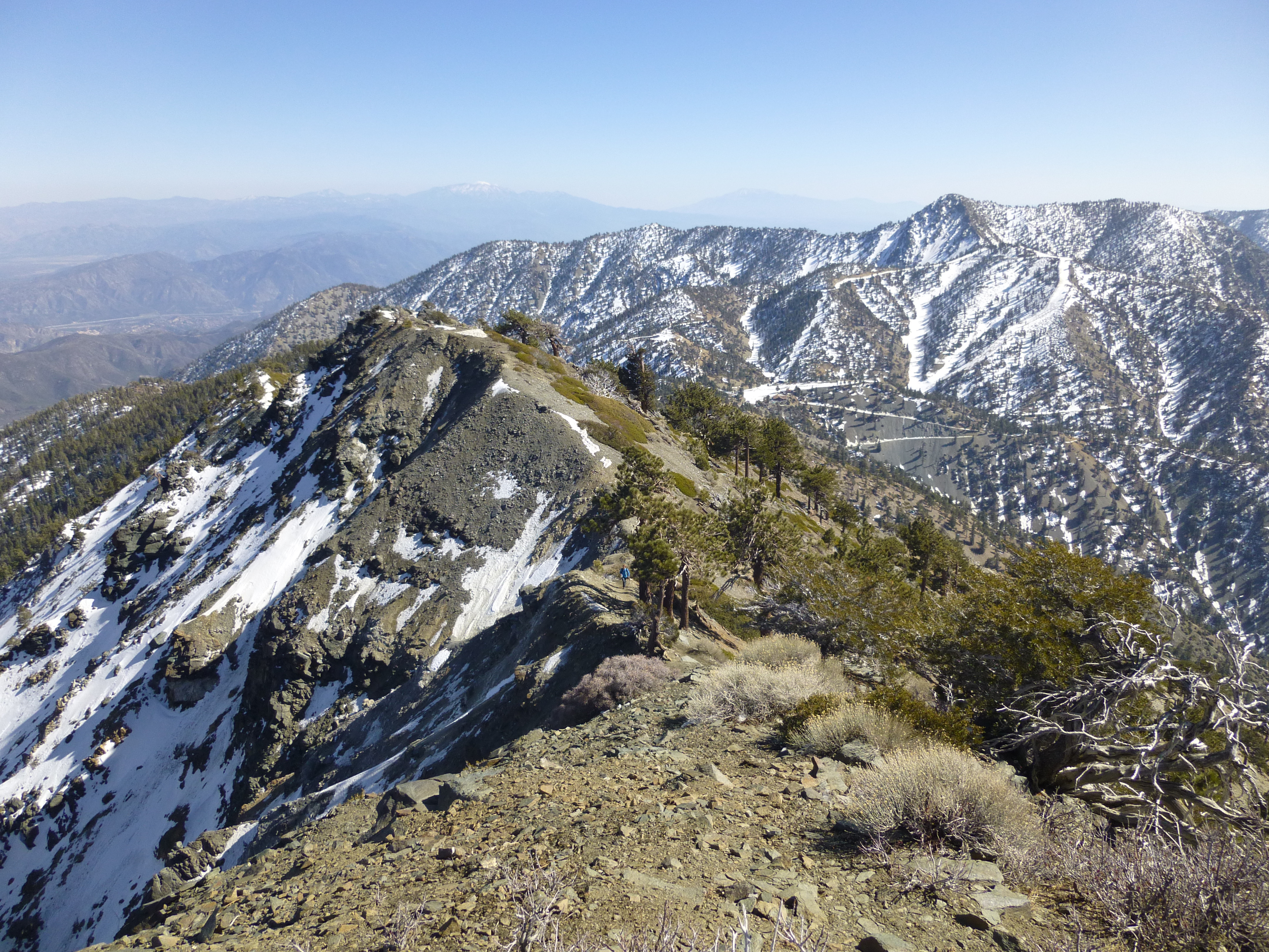
Once on the trail, I turned right and headed down a few yards. In front of me was the 9009' benchmark. I detoured from the trail a bit and tagged this spot, whose elevation is a numerical palindrome. Thus I'm referring to it as Palindrome Point, my goal for the day.
After Palindrome, I descended the Backbone, took Turkey Shoot from the chair lift. Instead of following Turkey Shoot all the way to the Notch, I did more cross-country, basically bombing down a ridge/gully system branching off from Turkey Shoot.
Total mileage 5.0. Elevation gain: 2850'. Time: 3 hours.
My route

Interesting rock formation in the baby meadow
Palindrome Point along the Devil's Backbone