

I arrived at the gate on Big Tujunga Canyon road around 0630, a little disappointed to find it locked. Big 'T' isn't the safest place to leave a car parked all day. After turning on the SPOT, GPS, and ham radio, I donned my pack and started up 3N34, to 13W03. I was a few steps ahead of some young men headed for the falls.
First indication of how the rest of the day would go was losing the trail around the first stream crossing. Following some minor brushbashing, I was back on track, just past the first set of cabins. Between here and the falls, the route is easily followed, and relatively clear. For reasons that escape me, I followed a blazed trail up the the steep ridge just south of Condor Canyon. After about 0.4 mile of this, I came to my senses and descended back to the Trail Canyon floor. I suppose one could take that ridge up to Condor Peak.
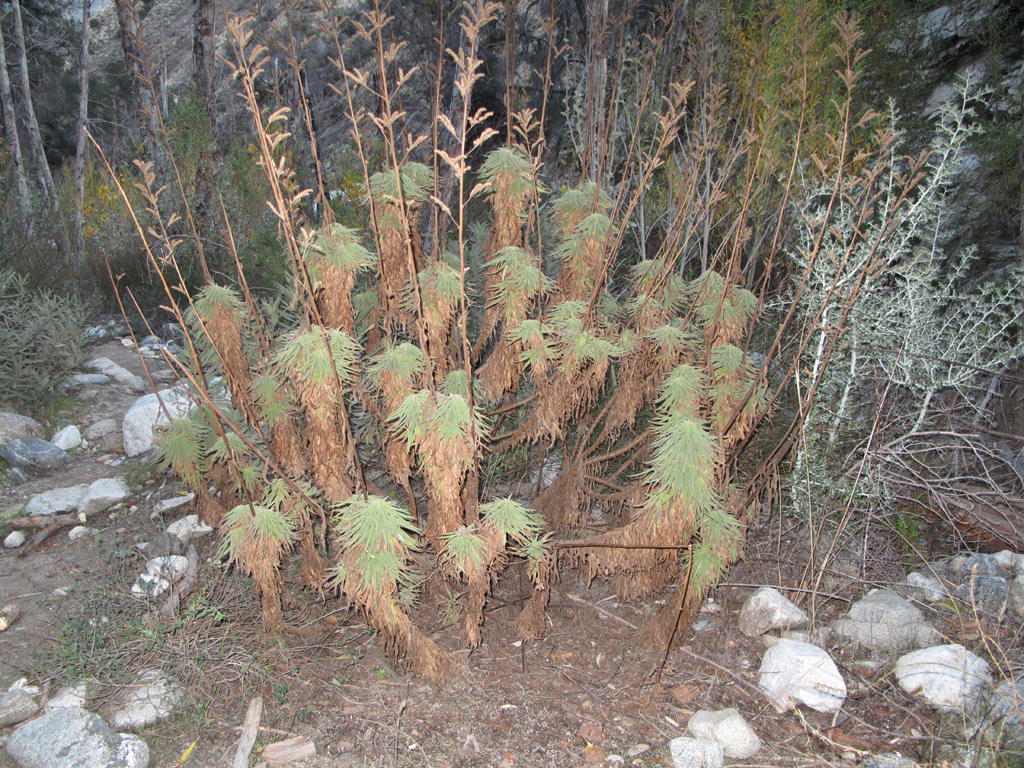
Northeast of here, the trail disappears frequently. The streambed is choked with vegetation, thus I frequently found myself scrambling up the hillside to maintain forward progress. Ecological concerns notwithstanding, this tactic is a mixed blessing. The hillsides are steep, sandy, the rocks badly fractured, there is plenty of healthy yucca with which to spear onesself, and there are precious few handholds for stabilization. Mercifully, the cool weather probably kept most of the Rattlers in their burrows.
Between Tom Lucas Trail Camp and the Big Cienega the hike was a disorienting push through brush. I managed to wind up on the wrong side one of the Cienega's ridges, before backtracking and re-finding the trail with the aid of the GPS. This trail segment, though perfectly passable, is in the process of being reclaimed by Mother Nature. There are plants starting to fill in the footbed for nearly its entire length. Once I reached the Condor trail cutoff near the concrete water tank, I decided that I wasn't wanting to repeat the canyon-bash. I hopped on the 3N32 (Mendenhall Ridge Road) spur towards Iron Mountain.
I finally managed to get Mrs. Elwood on the radio to tell her that I'd be a little late. My plan was to take 3N32 to Iron Mountain Saddle, 3N60 across to Yerba Buena Ridge, and finally 3N29 (Gold Creek Road) back to the Jeep. After a couple of Clif Bars, jerky, licorice and pretzels, I set off on the snowy Mendenhall road around 1435. The views into Pacoima Canyon and towards Mt. Gleason were gorgeous, though a little hazy. Those across Trail Canyon towards Condor and beyond were also beautiful.
I crossed Iron Mountain Saddle around 1552, picking up the Yerba Buena trail 3N60. There are several scary slides on this trail, and I was none-too-happy to reach the saddle just north of Mount McKinley. Thinking I'd had enough of sketchy trail for the day, I opted to follow the ridge up McKinley, then back down to Gold Creek Road. The bypassed trail above Yerba Buena Spring was holding a lot of snow which I wasn't psyched to deal with. Following a few minor slips and Yucca-pokes, I was safely on 3N29, making Big Tujunga Canyon Road by 1827. Despite its problems, this was a spectacular day of Winter San Gabriel's Hiking.
Baldy's got its roving dogs, Trail's got its cute Poodles.
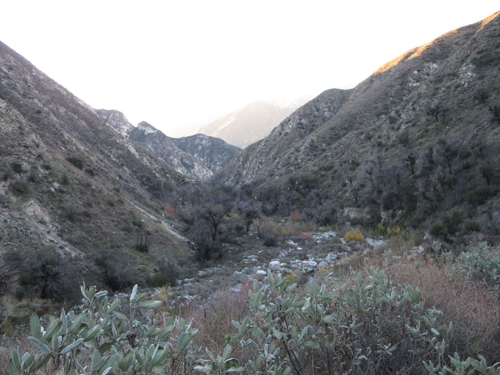
View up Trail Canyon as the sun crests Yerba Buena Ridge.
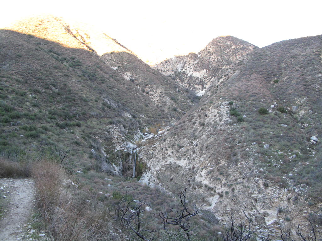
Looking at Trail's waterfalls from up high.
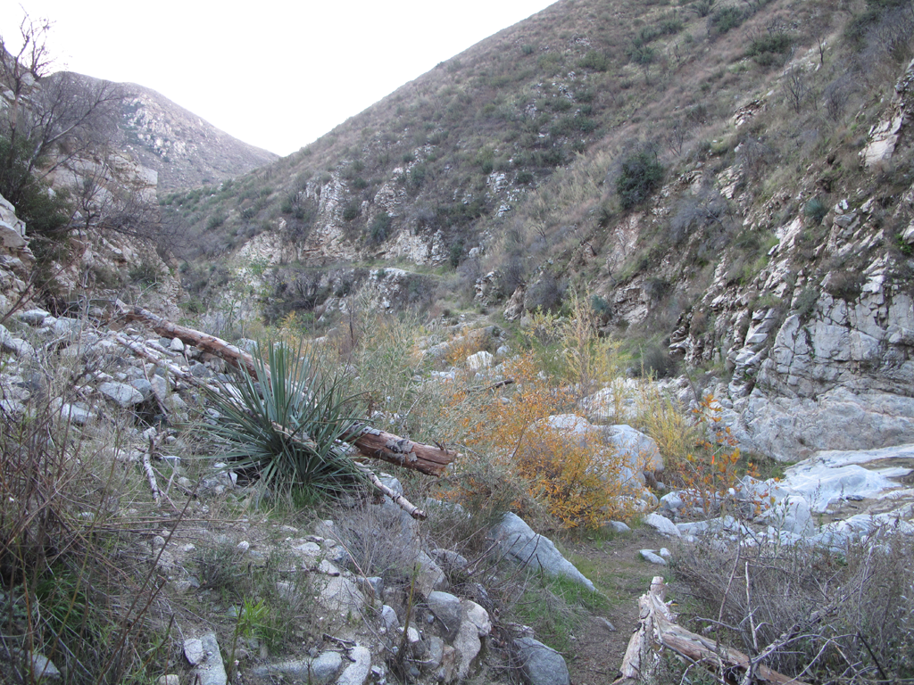
Not too hard to follow yet, past the falls.
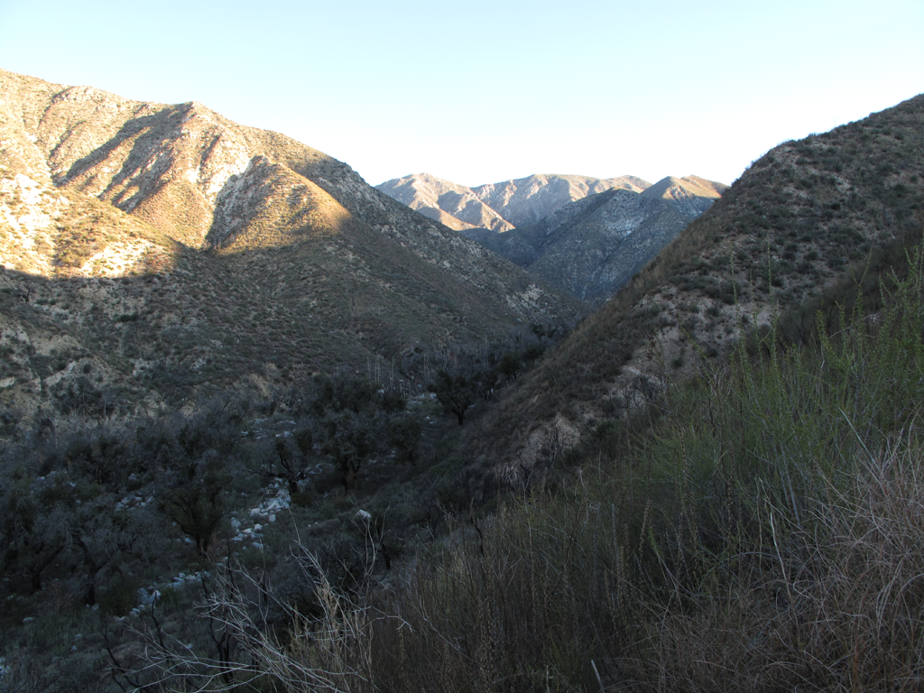
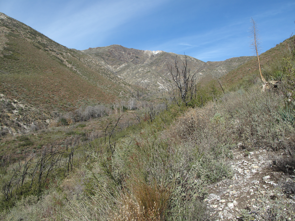
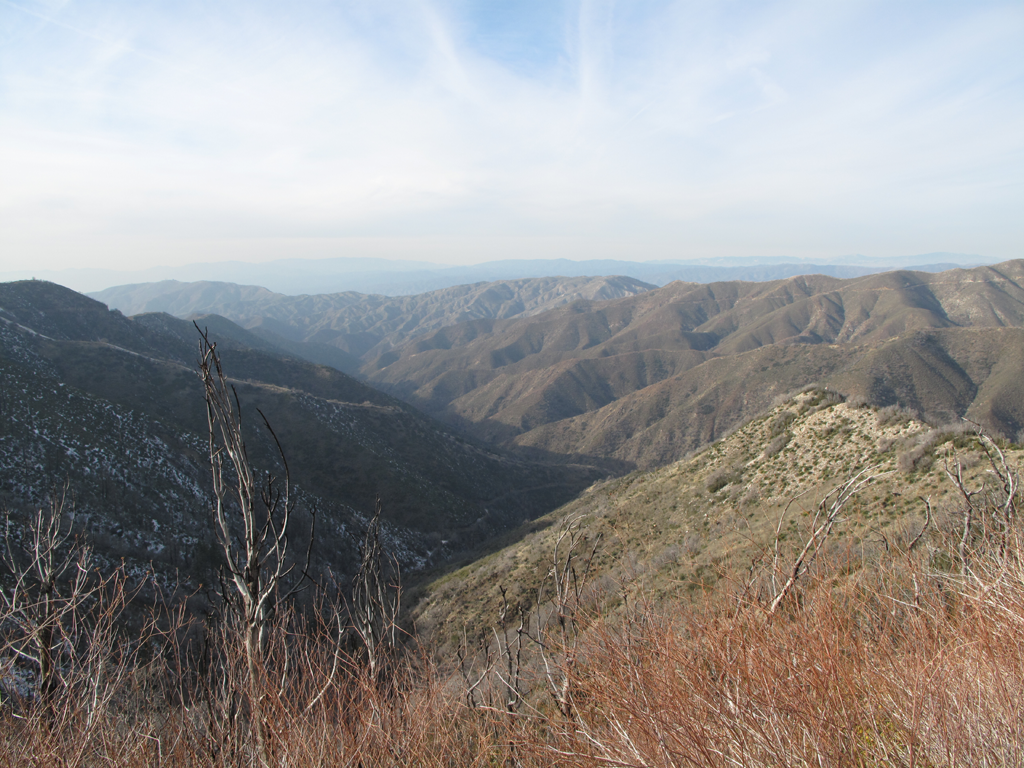
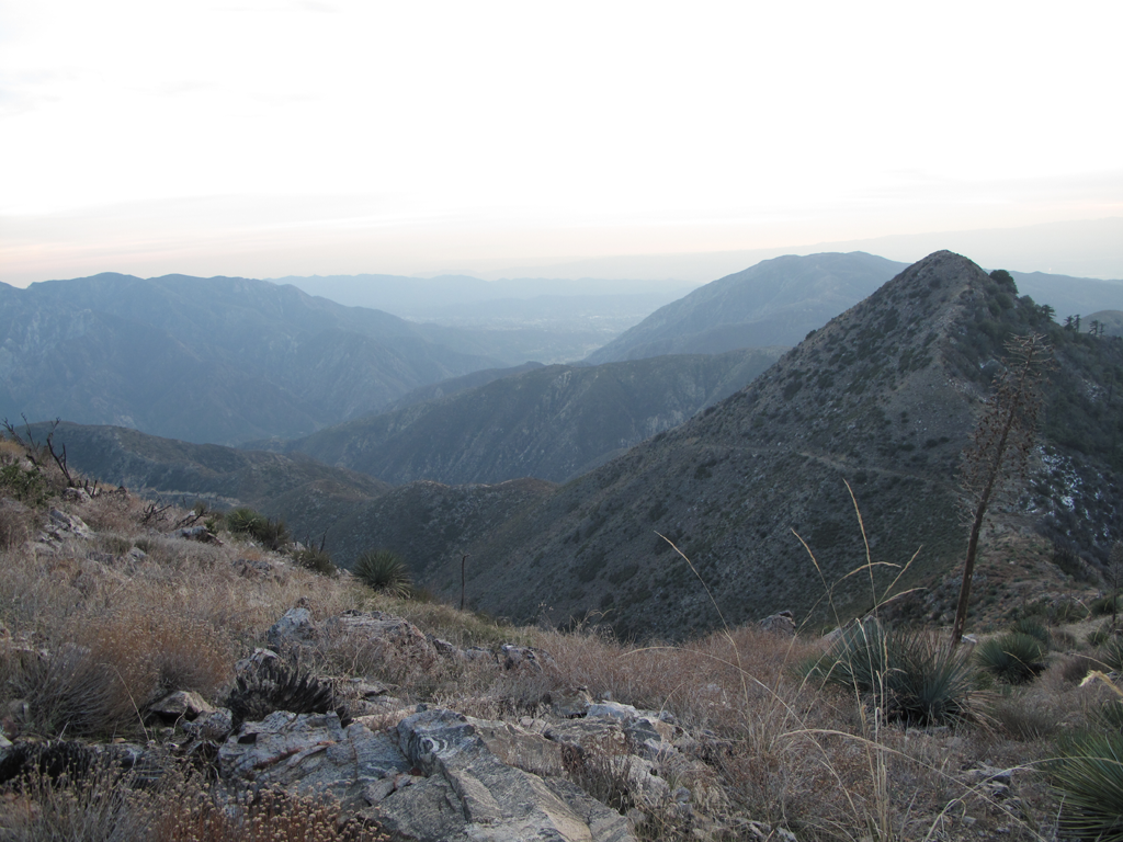
View north, from the trail/firebreak rising towards Condor Peak.
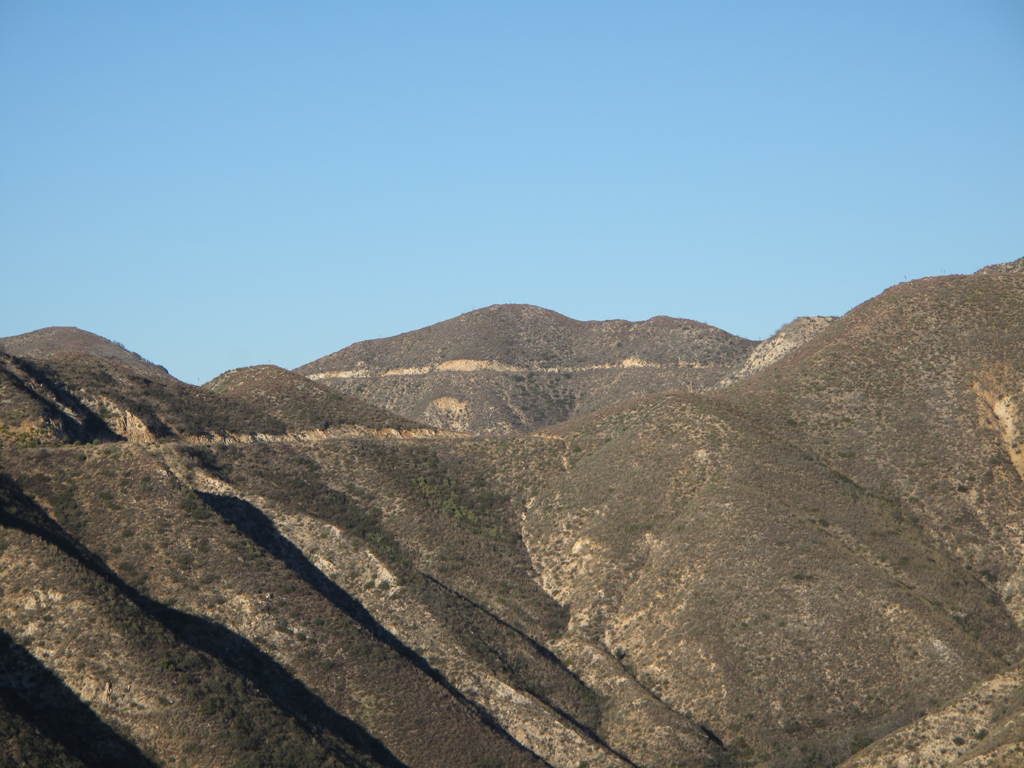
Gold Creek and Yerba Buena Roads seen from the same firebreak.
Trail Canyon trail getting harder to follow.
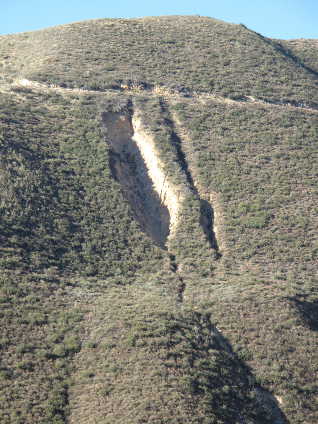
Interesting undermine of Gold Creek Road.
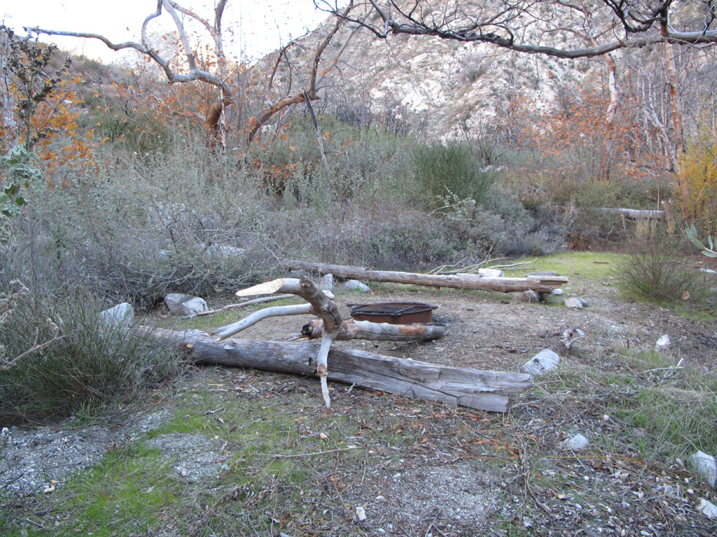
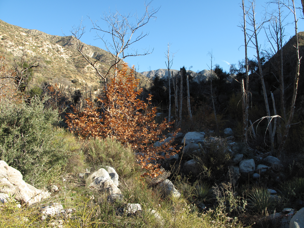
Tom Lucas Trail Camp (or old Tom Lucas Camp maybe).
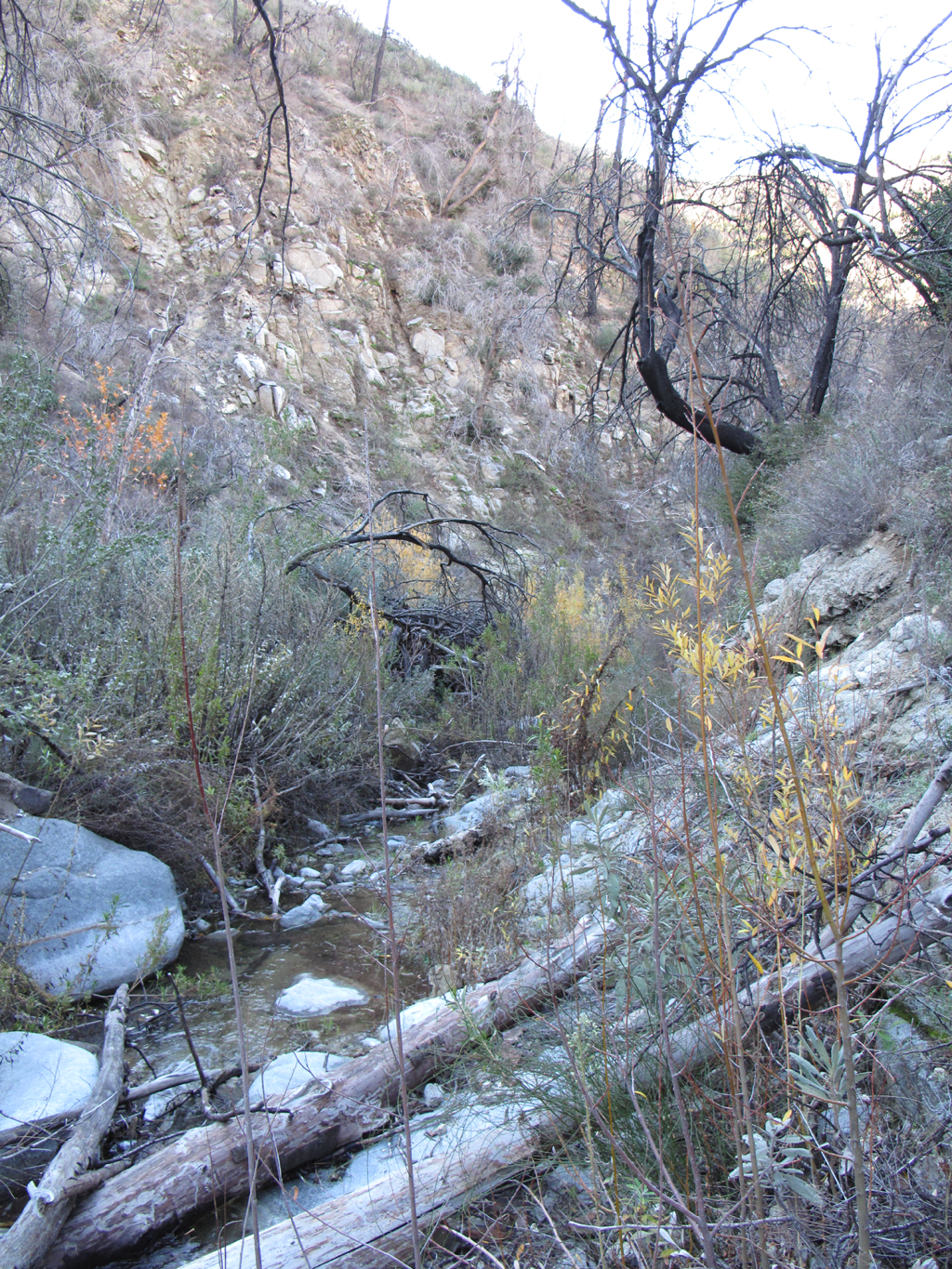
Scrambling up the hillside to bypass the choked streambed.
Trail ahead, near benchmark 3434.
Finally on the Big Cienega section of the trail.
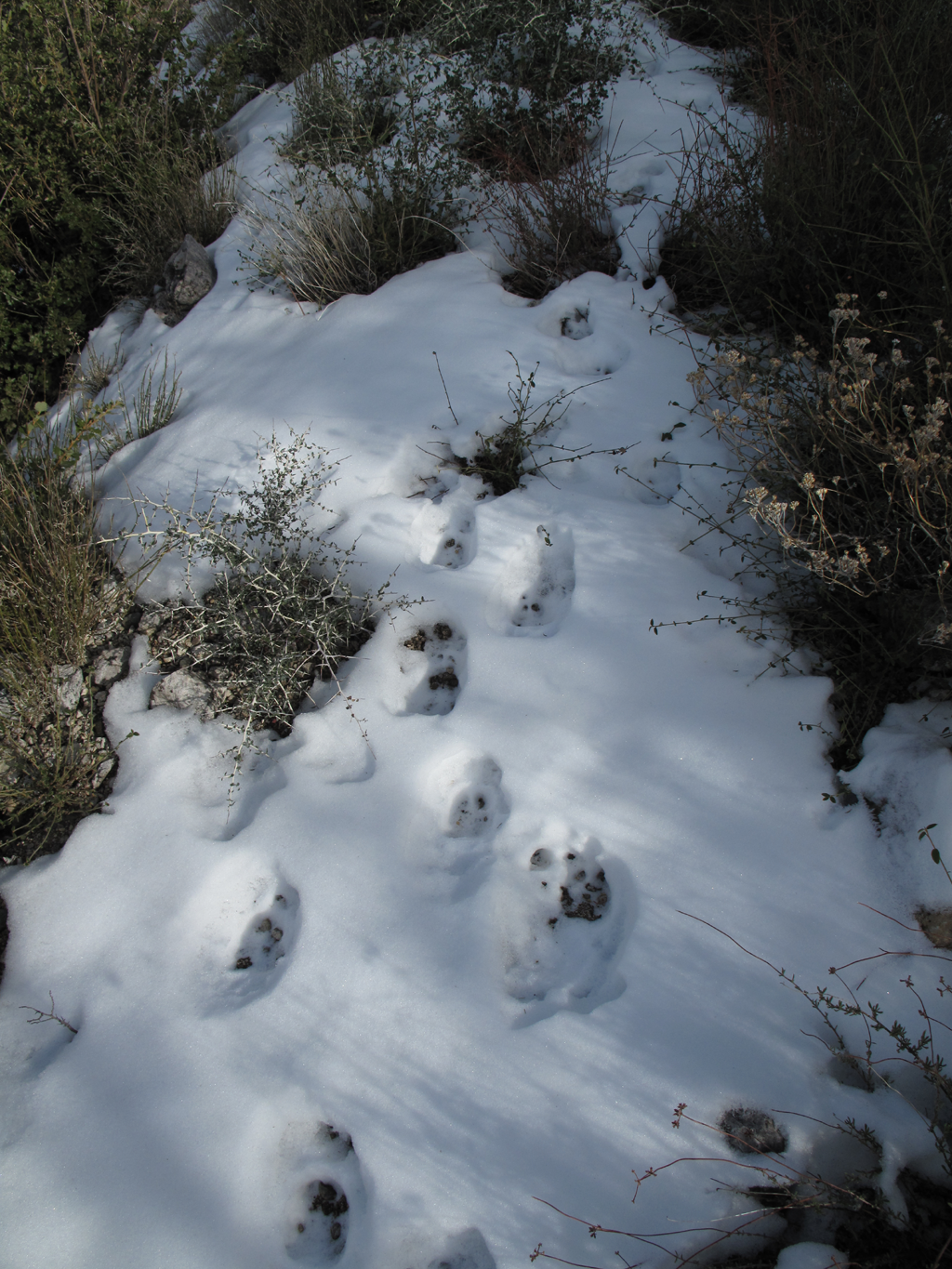
Somebody's tracks, too melted to identify.
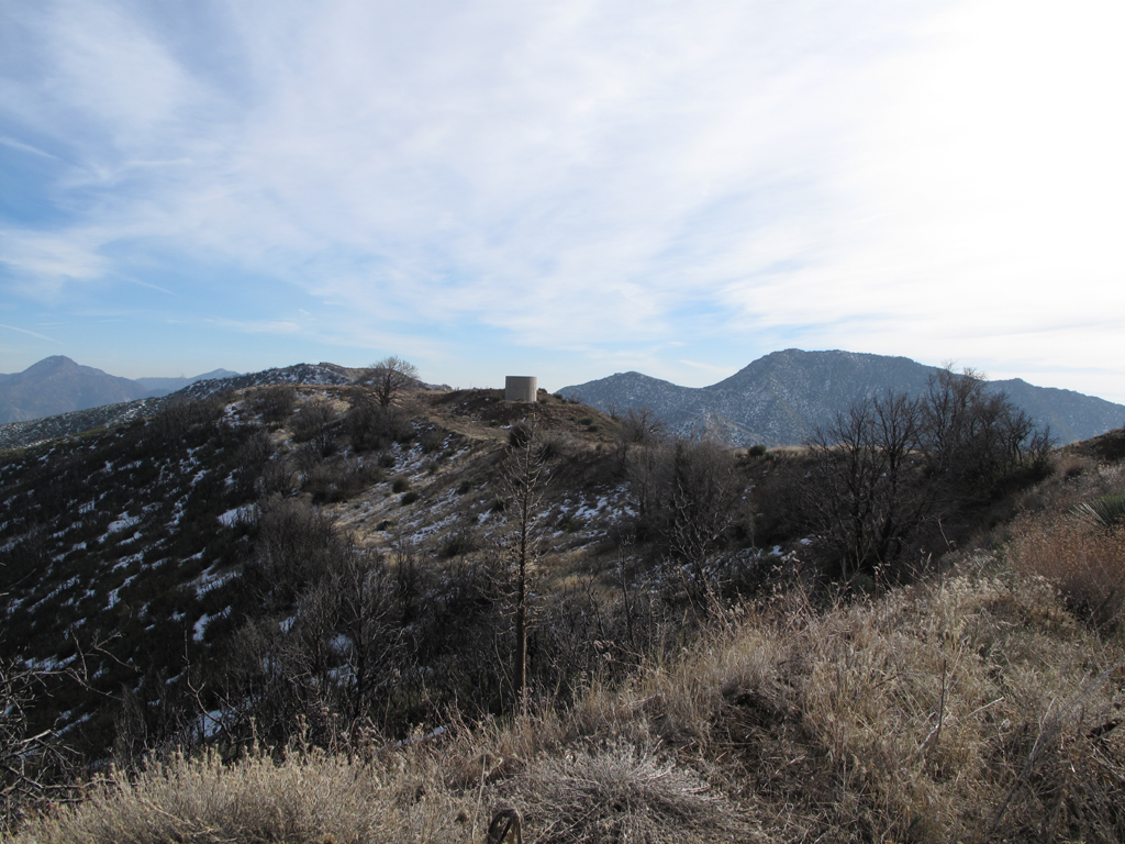
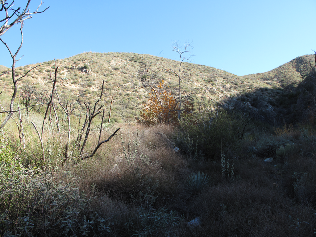
Trail that heads to Condor Peak, from Mendenhall Road spur.
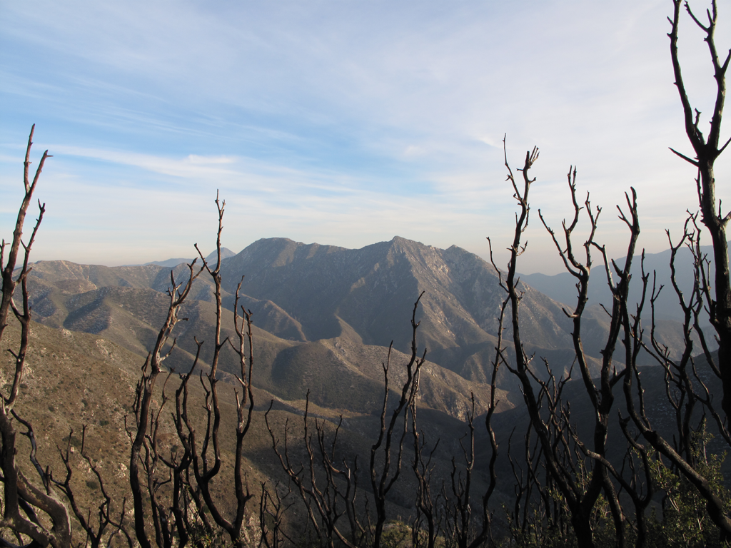
View towards Mount Gleason from the spur.
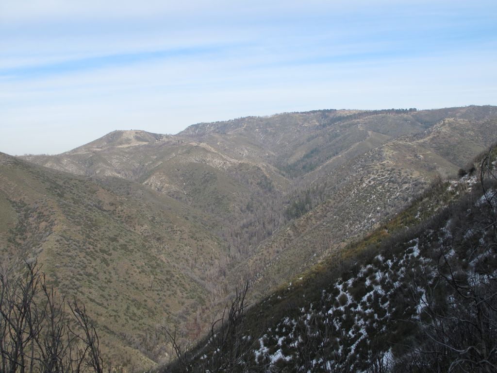
Upper Pacoima Canyon, past Indian Ben Saddle.
Gorgeous Pacoima Canyon, looking west.
View over Pacoima Canyon towards Gleason.
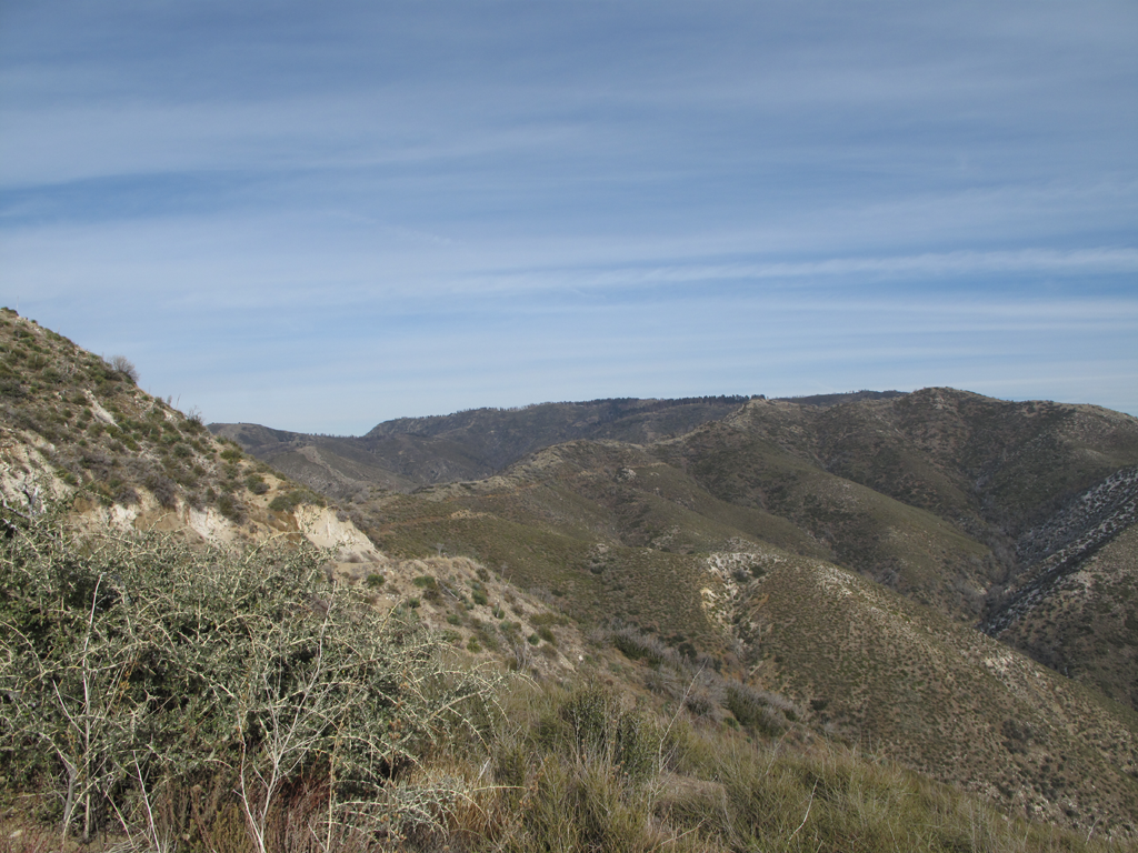
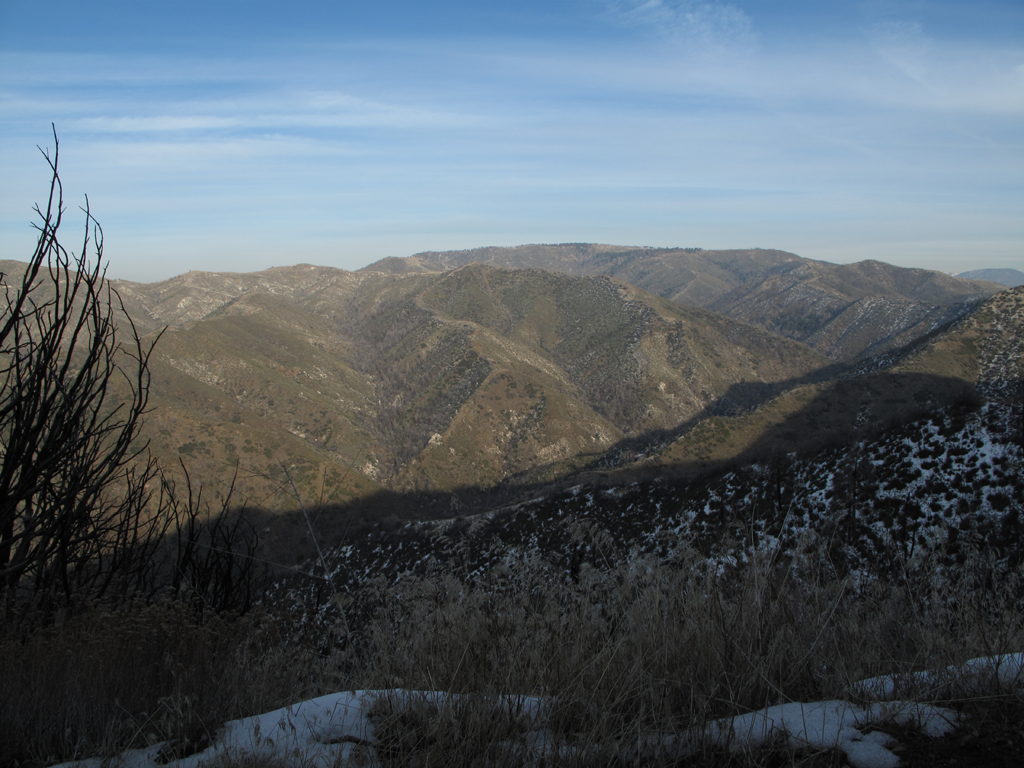
View towards Condor Peak, over Trail Canyon (from Mendenhall Road).
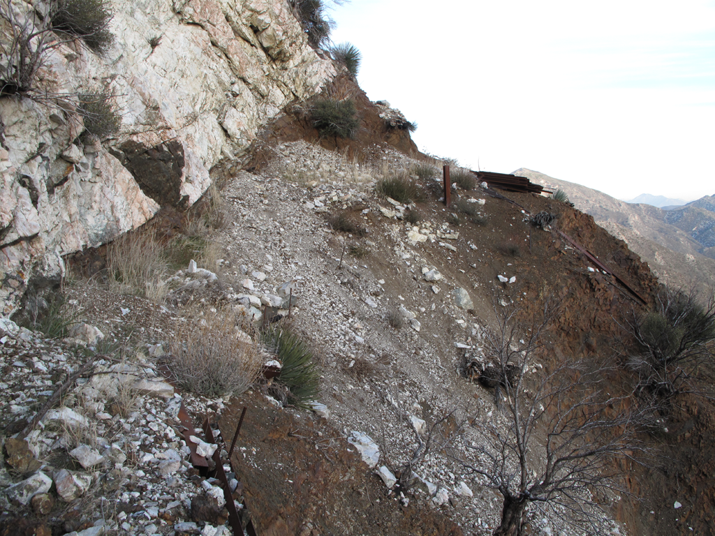
Sketchy part of 3N60, complete with repair materiel.
Yerba Buena Ridge trail, towards Gold Creek Road.
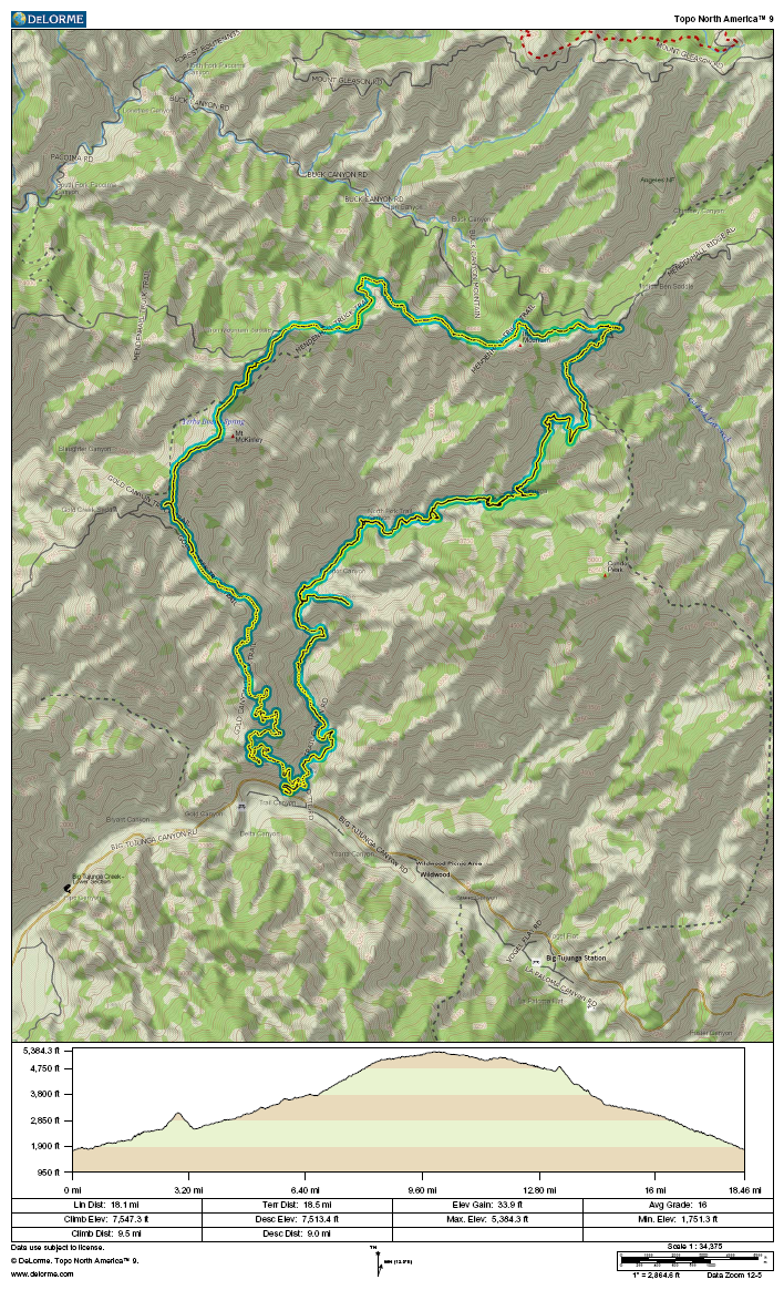
GPS track and elevation plot


