I needed to get out for something a little longer/harder than the Wilderness Park loop so of course I headed up through the drizzling rain towards Manker in the morning. I hit the road to San Antonio falls at 8:30, surprised that there were only about 20 cars parked nearby. Although my thermometer showed 46 degrees I was pouring sweat when I walked through the sunny parts. Pretty soon I was above the clouds, which is always a cool sight. I stopped for a Powerbar break at the stream above the hut and filled up my spare bottle, then I just motored up through the rock garden and the trees to the ridge at the left side of the bowl. I told a couple people there they were halfway through the hard part and we had a nice little chat about the cloud formations. After getting up to that little flat area I always like to walk out to the rocks and look down the bowl and today's view was certainly a good one. I got up to the summit at 11:15 and counted just 13 others - that counts for solitude on this hill so it was great for a while. Later I saw Shin so went over to talk for a bit, summit number 294 for him. While sitting around I was surprised to see a friend of mine standing nearby, actually someone I went to high school with (a long time ago!). He was there with a Lake Arrowhead Boy Scout troop so of course that meant a lot more people. By the time I left at 1:00 I lost count somewhere around 35 bodies up there with more on the way. On the way down I decided to walk across Mt Harwood just so I can count another summit on my yearly list. I met some friends at the Notch, we had a good lunch and then I rode the lift down with them. About the time we headed down the clouds were rolling up the valleys and it was pretty thick where we were.
All things considered it was just another great day in the mountains.
A few pics below...

Looking down from the road just past the falls.

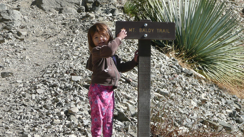
How long has the sign been up there?

Looking at the bowl from the trail.

Some cloudy stuff below the hut, it actually cleared out quickly.

Oh, yeah, break time soon.

View towards Telegraph and others. Clouds stayed at this level most of the day.

The bowl from up on the ridge.

And why is this sign here? No other trail junction, just randomly posted.

Peeking out from the edge of the bowl.

Looking towards Baden-Powell and the rest of the San G range.

"Trail" up to Harwood.

Harwood summit, another flag sitting there which will just turn into litter in a couple of weeks.

People walking across the backbone. I got stuck behind a group of 12, kind of hard to pass in this section.

Lots of people at the Notch for lunch and drinks. I had a couple Shock Top while waiting.

Riding the lift down, it was cloudy and rather cool.
"Argue for your limitations and sure enough they're yours".
Donald Shimoda