1. The Sierra is DRY. The shoreline of the small pond near Brainerd has shrunk 20 feet. The smaller pond just past it that had tadpoles last year is completely dried up. Brainerd is obviously lower.
2. Along the Baker Lake Trail, the topo map shows a spur trail at 371926 4110839 (UTM NAD27) that leads to the overnight parking lot. We did not see this trail.
3. At 371125 4112877, the topo map has a trail junction with a branch leading northeast to Baker Creek. We did not see this trail.
4. Grouse Spring is named on both the topo map and the Tom Harrison map. It's a 3 foot wide, 3 foot deep, rock lined hole in the ground. It was totally dry and appeared to have been dry for many years. A metal trough just downhill that must have been hauled up to hold water for stock also looked dry for years.
5. Around High Meadows, the trail becomes faint with a few cairns to guide the way. A map, compass, and GPS are advised.
When we reached Brainerd, we worked our way around the western side of the lake to where you would head uphill to Finger Lake. We did not feel ready for a boulder scramble up a 40% grade so we stopped. Brainerd is prettier when seen from above.
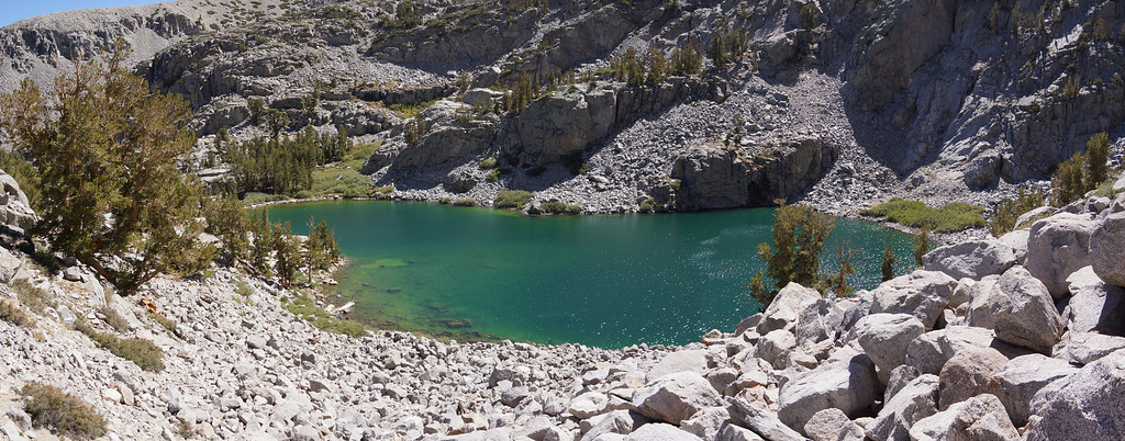
As the trail reaches Brainerd's shore, there is a large rock outcrop to your left (east). From the lake side, hike to the top of this outcrop. It is 60 to 80 feet across, fairly flat, and offers great views of the surrounding area.
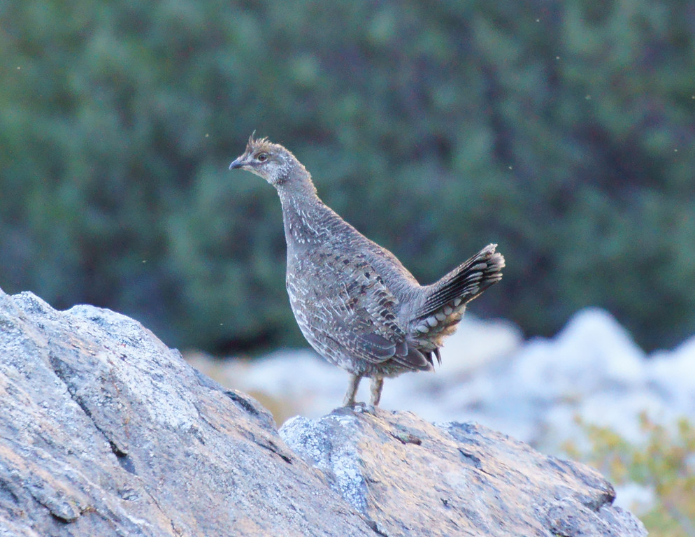
This grouse stopped to have a picture made.
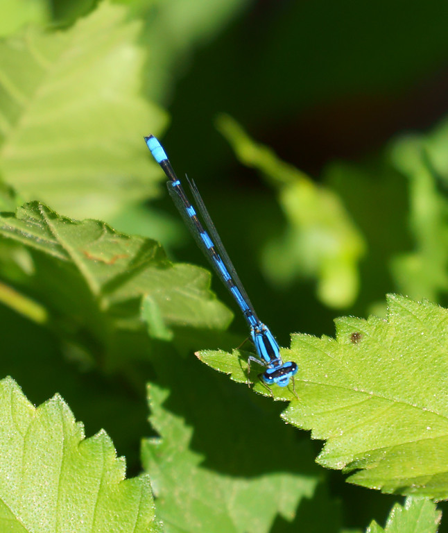
On a rest day, we visited the Fish Hatchery in Independence. Sadly, the 2007 fire ended the breeding operation, but the pond and grounds are still OK. A swarm of electric blue dragonflies surrounded a bush at the edge of the pond.
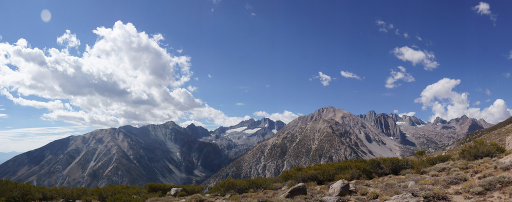
The Baker Lake trail reaches a switchback above the junction with the North Fork trail. It has a great view of the South Fork canyon.
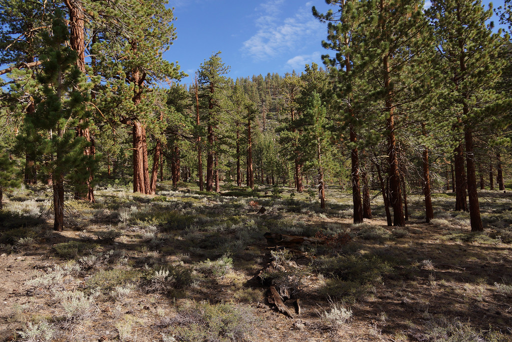
The trail passes through Logging Flat. A few trees were spared from the logger's saws.
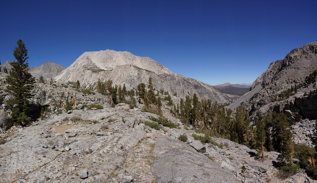
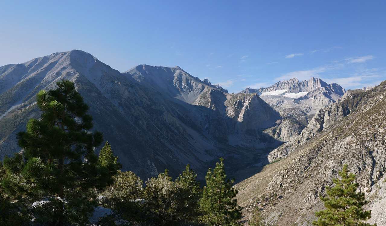
At the end of a steep climb, the trail crests at a plateau with a terrific view of the Palisades. In the foreground are Kid Mountain (left) and Mt. Alice (right).