Middle Fork - Etiwanda - Cucamonga
Posted: Thu May 31, 2012 9:47 am
Sunday morning, I bounced the jeep along the rutted road from Scotland to the Middle Fork trailhead parking lot. I was on the hoof in the 38F breeze at 0655. There were a few folks camped around Stone House and Commanche, though I saw nobody on the trail until arriving at Icehouse Saddle around 1011 PDT. I passed nine folks headed towards Cucamonga from Icehouse, and continued straight through to a vacant Etiwanda. The weather couldn't decide whether to be hot or cold, so I kept adjusting my layers accordingly. After some Shot Blocks and pictures, I left the 8,662 foot summit, and hiked back to its big brother, Cucamonga Peak. On Cucamonga, I rested a bit, and snacked on pretzels and dried fruit before saddling up for the nine-or-so mile trek back to the car. On the way down, I passed some dudes who had made camp at Stone House. A very short while later I heard a loud gunshot from the camp; WTF? When I arrived at the trailhead around 1648, I poured a liter of my remaining water in to my radiator, having remembered it boiling and hissing upon my arrival ten hours earlier. Just another spectacular day on the Angeles / San Bernardino National Forest.
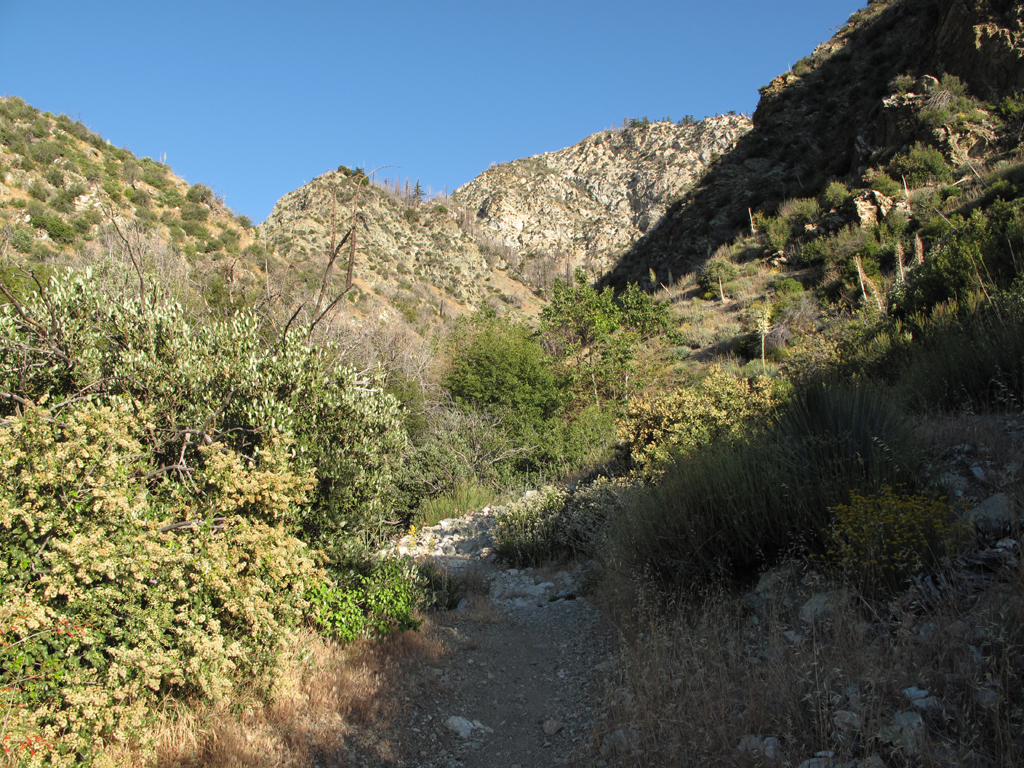
Starting up the trail from the Middle Fork parking area.
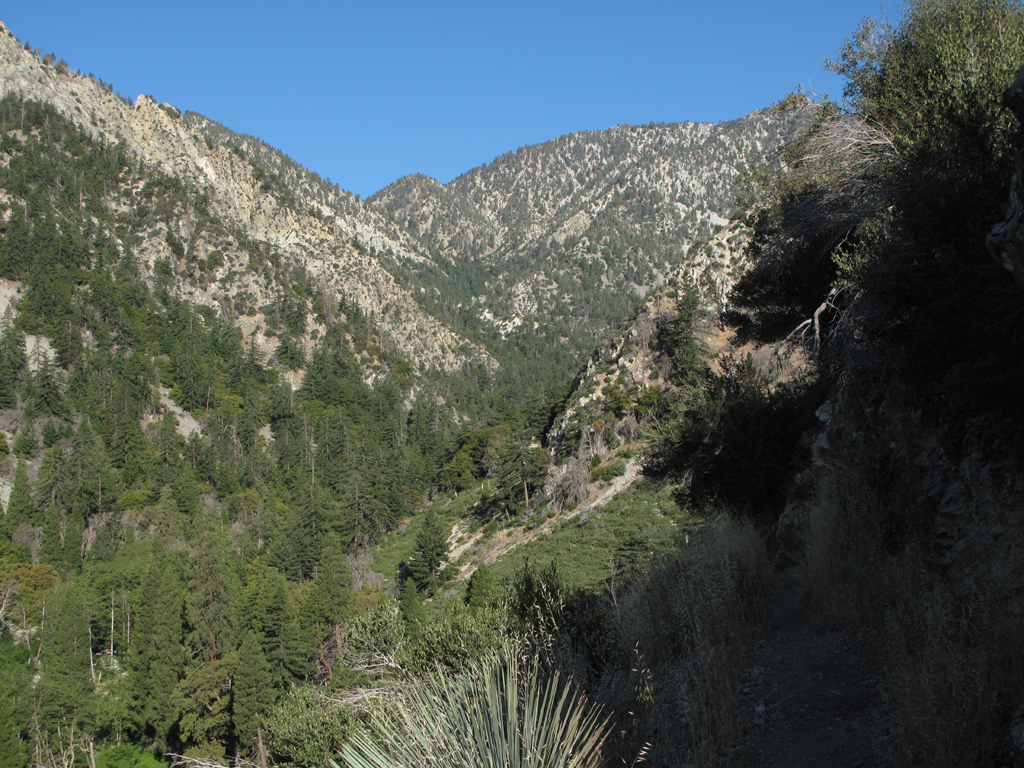
View a little further up the canyon.
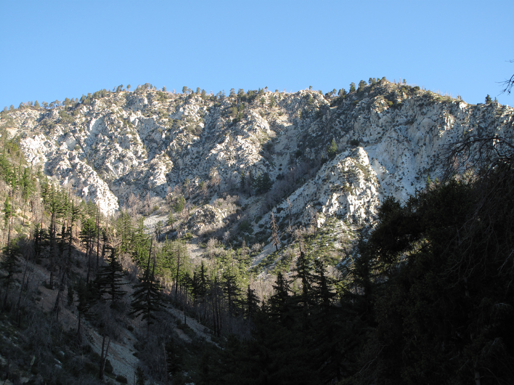
View of the ridge descending from Telegraph Peak.
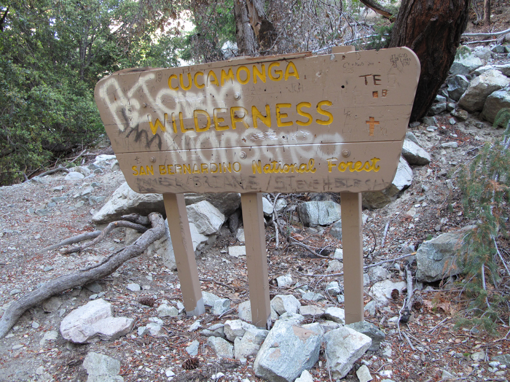
No comment.
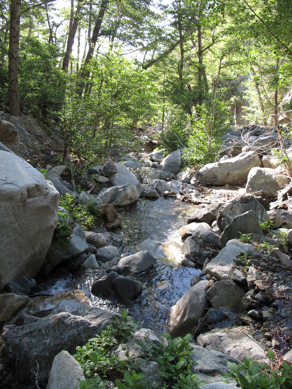
Lots of water running to Lytle Creek.
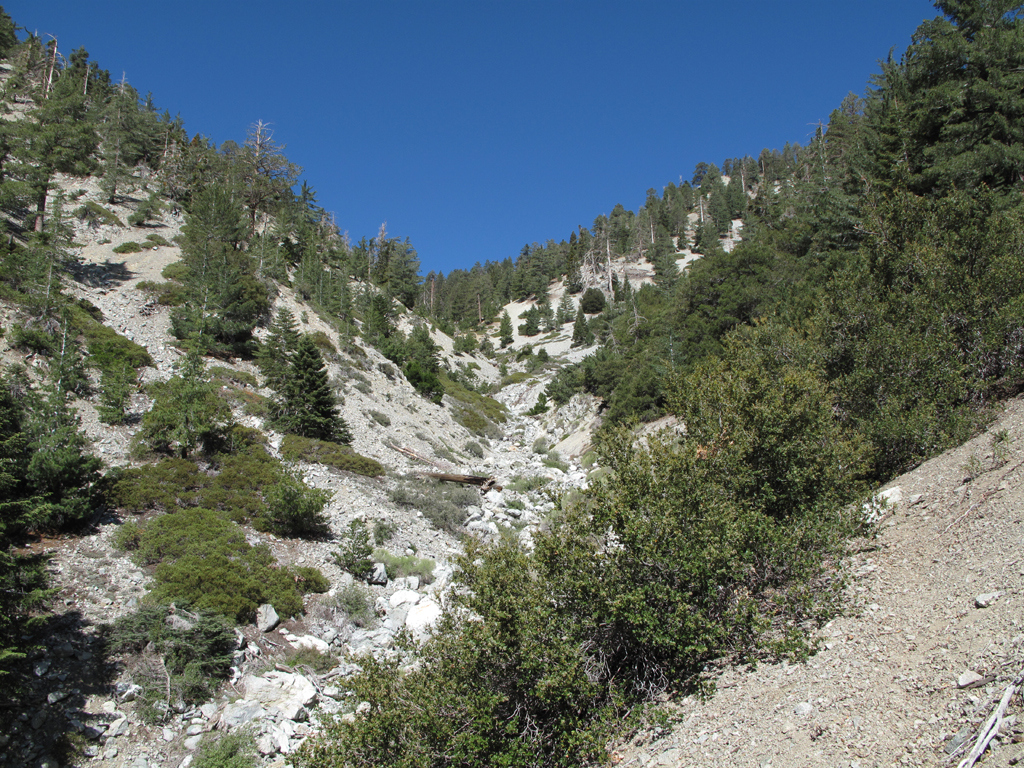
Trail rises up the west wall.
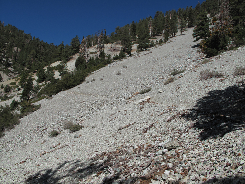
Scree-ish portion of the hike.
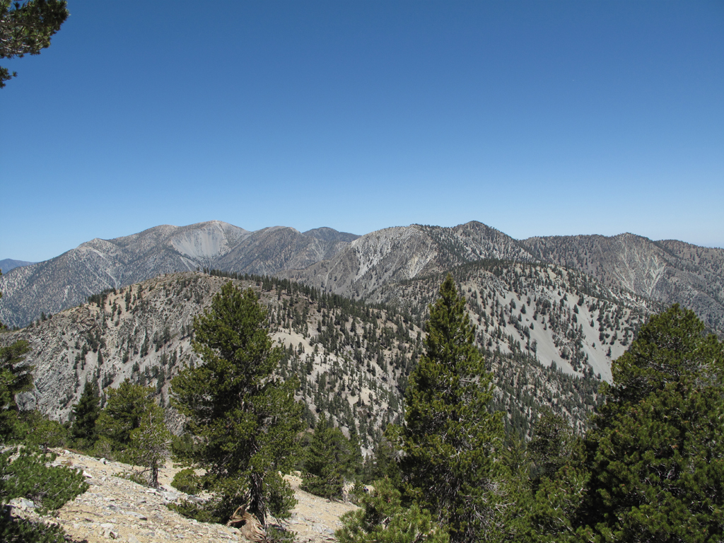
Bighorn, the 'Ts' and Baldy.
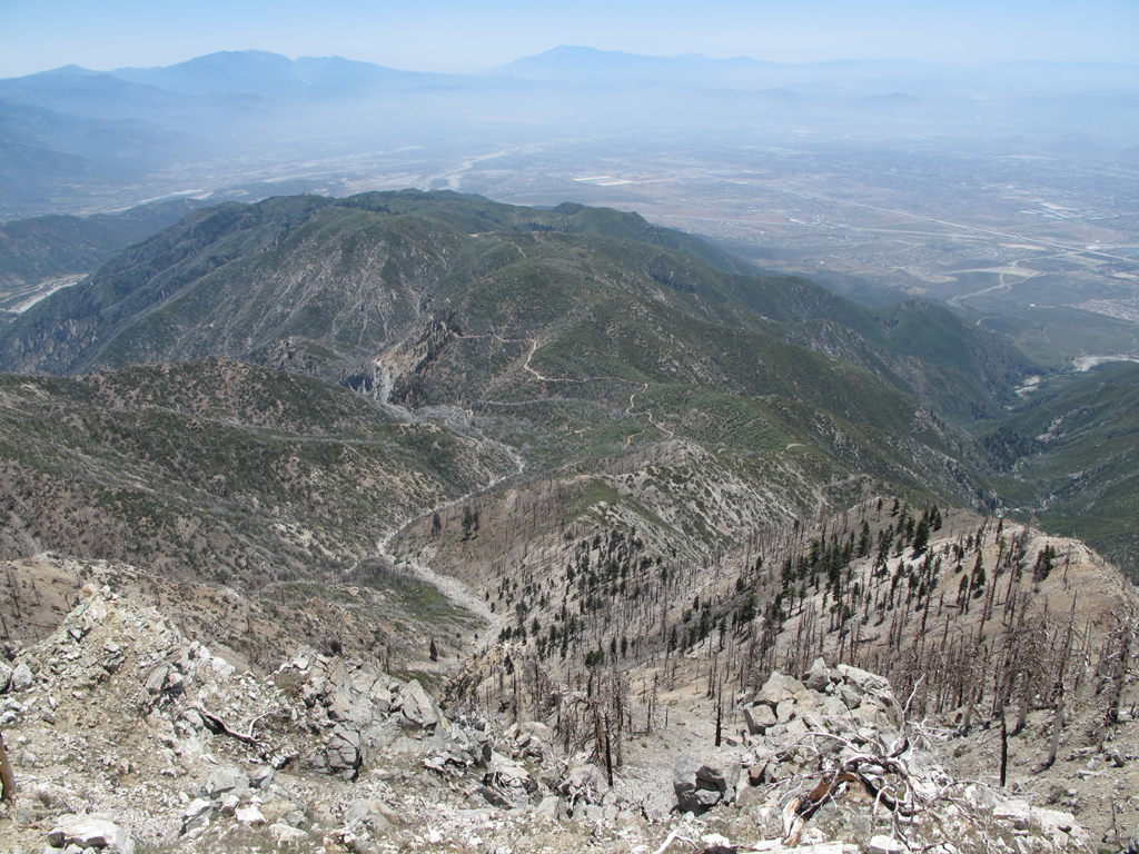
Looking down towards Joe Elliot and San Sevaine, from Etiwanda Peak.
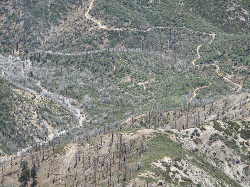
Joe Elliot (Big Tree) campground at the picture's center.
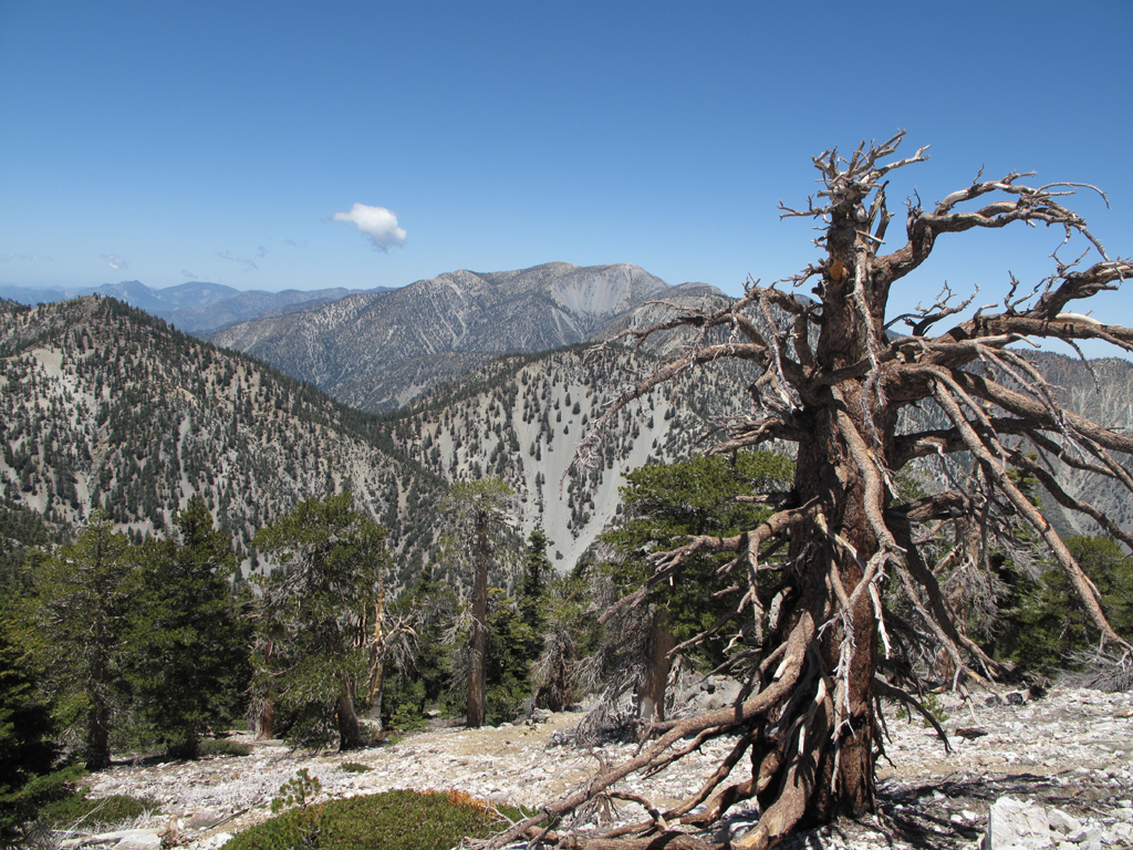
Another view across to Old Baldy.
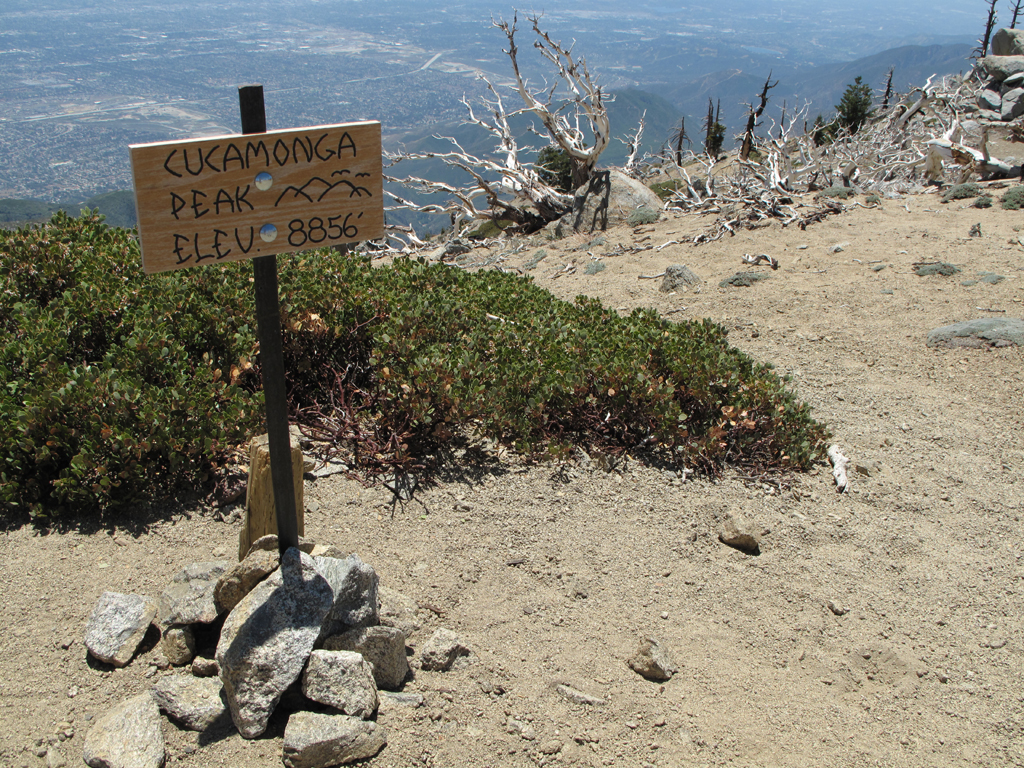
New sign on Cucamonga.
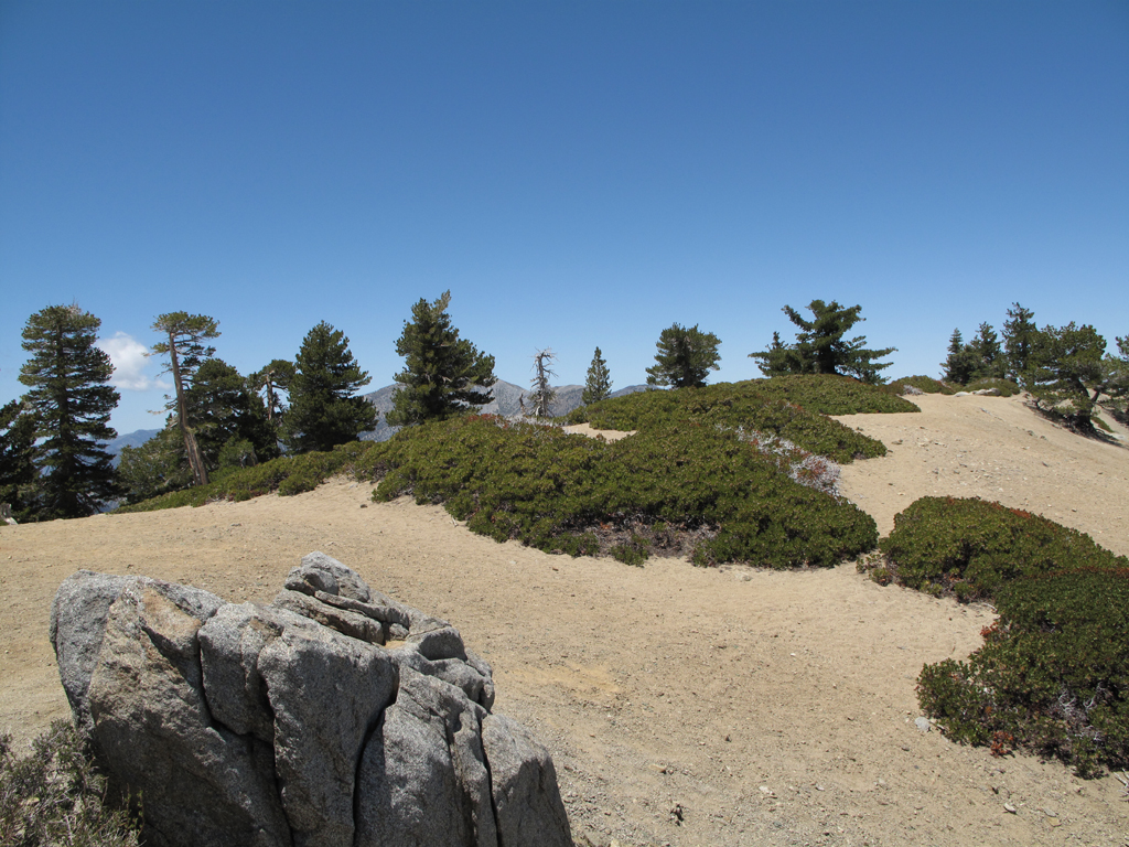
Another view on Cucamonga's summit.
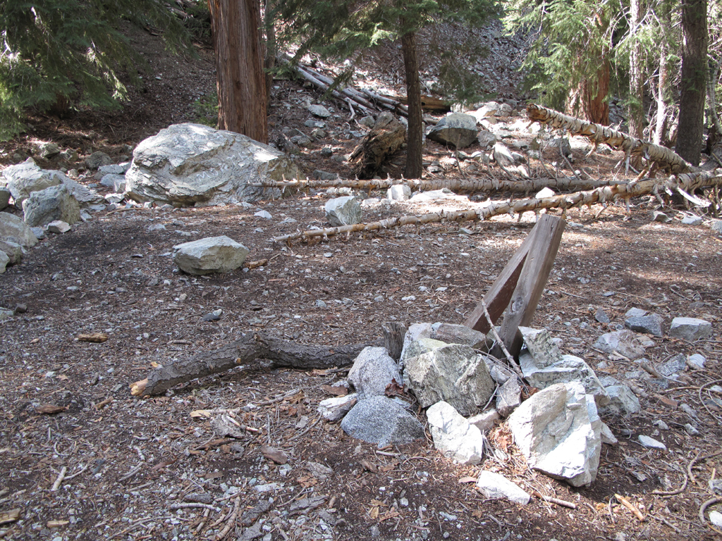
Commanche Trail Camp.
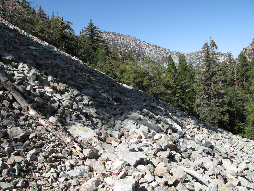
Talus field portion of the trail.
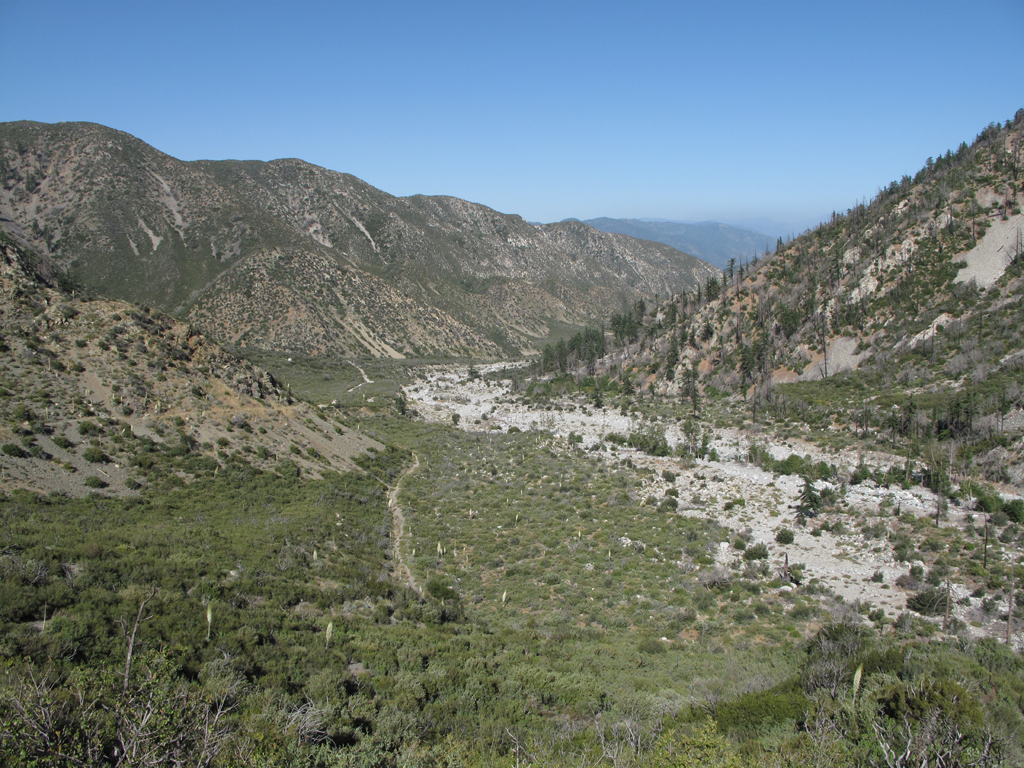
Final view of Middle Fork, Lytle Creek as I near the trailhead.
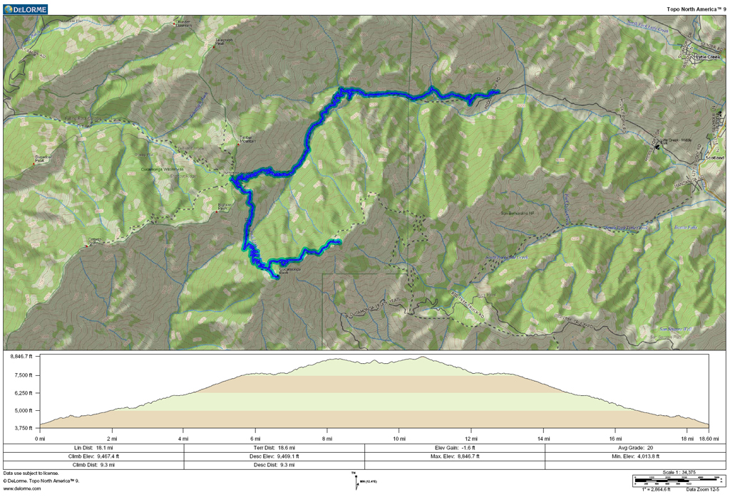
GPS plot.

Starting up the trail from the Middle Fork parking area.

View a little further up the canyon.

View of the ridge descending from Telegraph Peak.

No comment.

Lots of water running to Lytle Creek.

Trail rises up the west wall.

Scree-ish portion of the hike.

Bighorn, the 'Ts' and Baldy.

Looking down towards Joe Elliot and San Sevaine, from Etiwanda Peak.

Joe Elliot (Big Tree) campground at the picture's center.

Another view across to Old Baldy.

New sign on Cucamonga.

Another view on Cucamonga's summit.

Commanche Trail Camp.

Talus field portion of the trail.

Final view of Middle Fork, Lytle Creek as I near the trailhead.
GPS plot.