Middle Fork - Etiwanda - Cucamonga

TRs for the San Gabriel Mountains.
Post Reply
User avatar
Elwood
Posts: 612
Joined: Fri Aug 15, 2008 5:23 pm

Post by Elwood »

Sunday morning, I bounced the jeep along the rutted road from Scotland to the Middle Fork trailhead parking lot. I was on the hoof in the 38F breeze at 0655. There were a few folks camped around Stone House and Commanche, though I saw nobody on the trail until arriving at Icehouse Saddle around 1011 PDT. I passed nine folks headed towards Cucamonga from Icehouse, and continued straight through to a vacant Etiwanda. The weather couldn't decide whether to be hot or cold, so I kept adjusting my layers accordingly. After some Shot Blocks and pictures, I left the 8,662 foot summit, and hiked back to its big brother, Cucamonga Peak. On Cucamonga, I rested a bit, and snacked on pretzels and dried fruit before saddling up for the nine-or-so mile trek back to the car. On the way down, I passed some dudes who had made camp at Stone House. A very short while later I heard a loud gunshot from the camp; WTF? When I arrived at the trailhead around 1648, I poured a liter of my remaining water in to my radiator, having remembered it boiling and hissing upon my arrival ten hours earlier. Just another spectacular day on the Angeles / San Bernardino National Forest.

Image
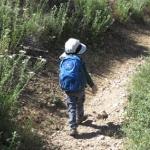
Starting up the trail from the Middle Fork parking area.

Image
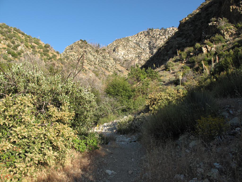
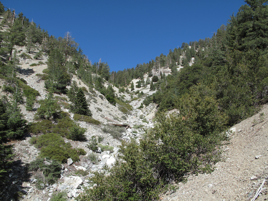
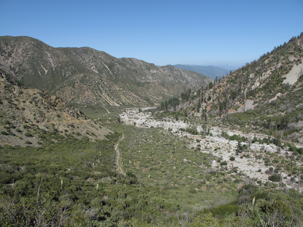
View a little further up the canyon.

Image
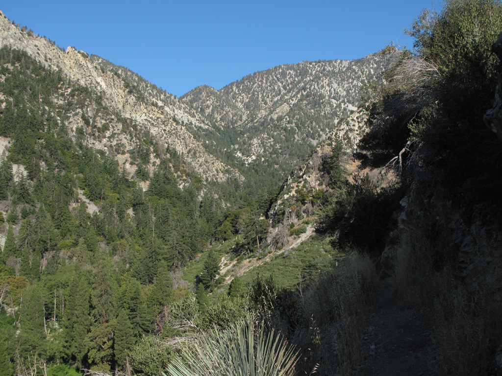
View of the ridge descending from Telegraph Peak.

Image
No comment.

Image
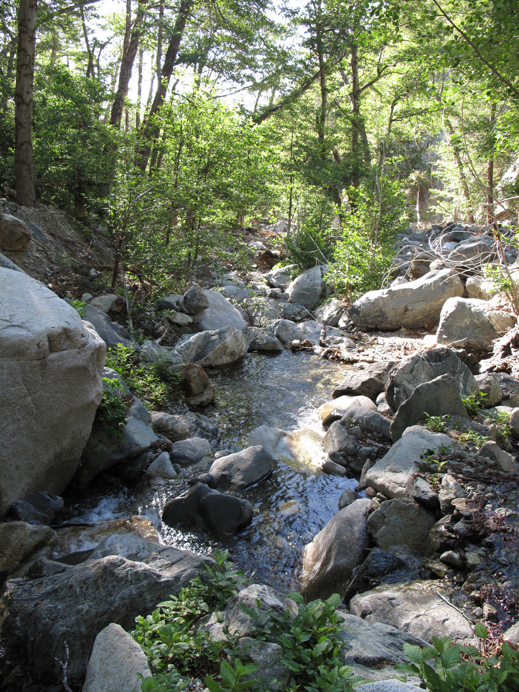
Lots of water running to Lytle Creek.

Image
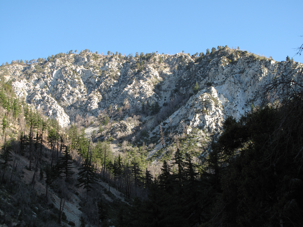
Trail rises up the west wall.

Image
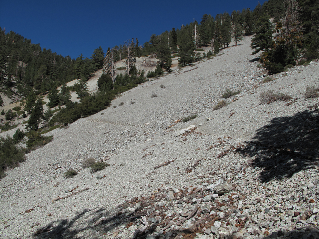
Scree-ish portion of the hike.

Image
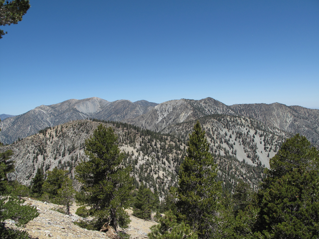
Bighorn, the 'Ts' and Baldy.

Image
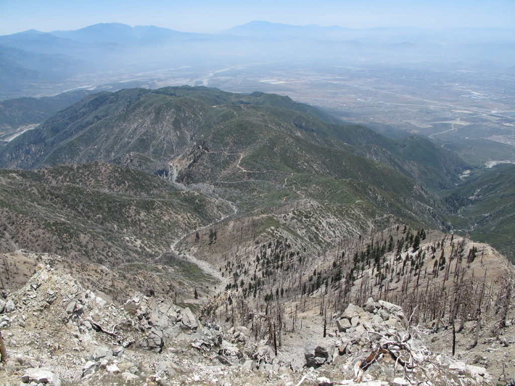
Looking down towards Joe Elliot and San Sevaine, from Etiwanda Peak.

Image
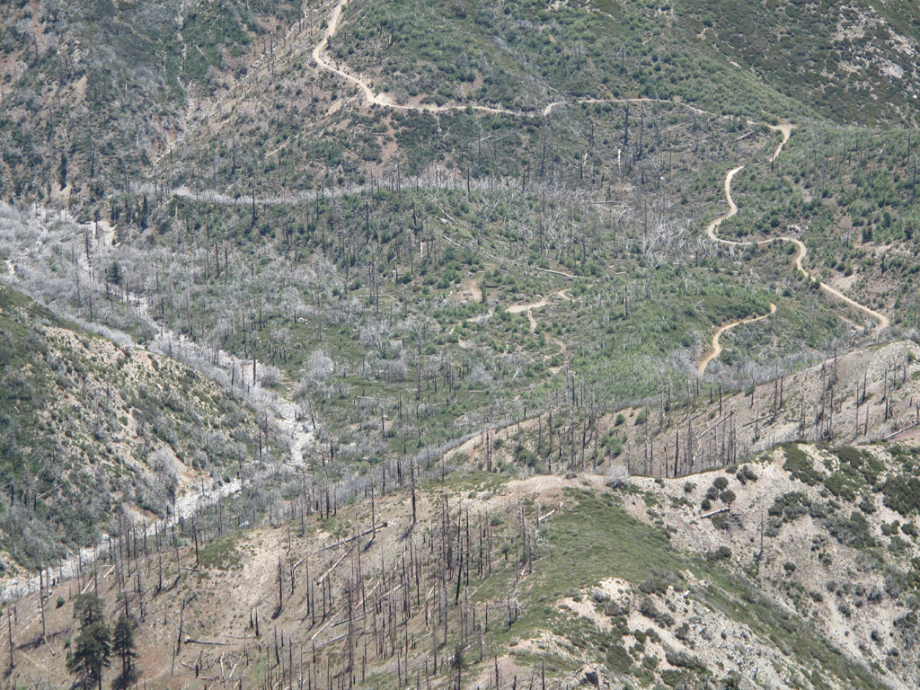
Joe Elliot (Big Tree) campground at the picture's center.

Image
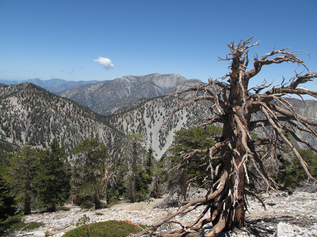
Another view across to Old Baldy.

Image
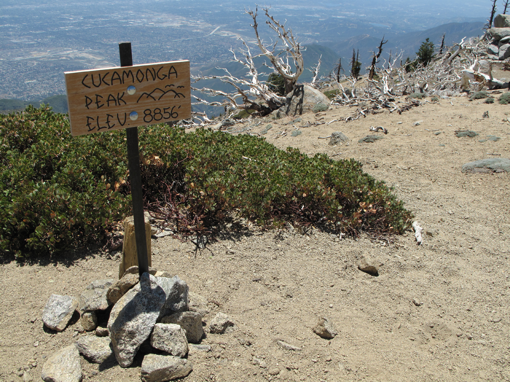
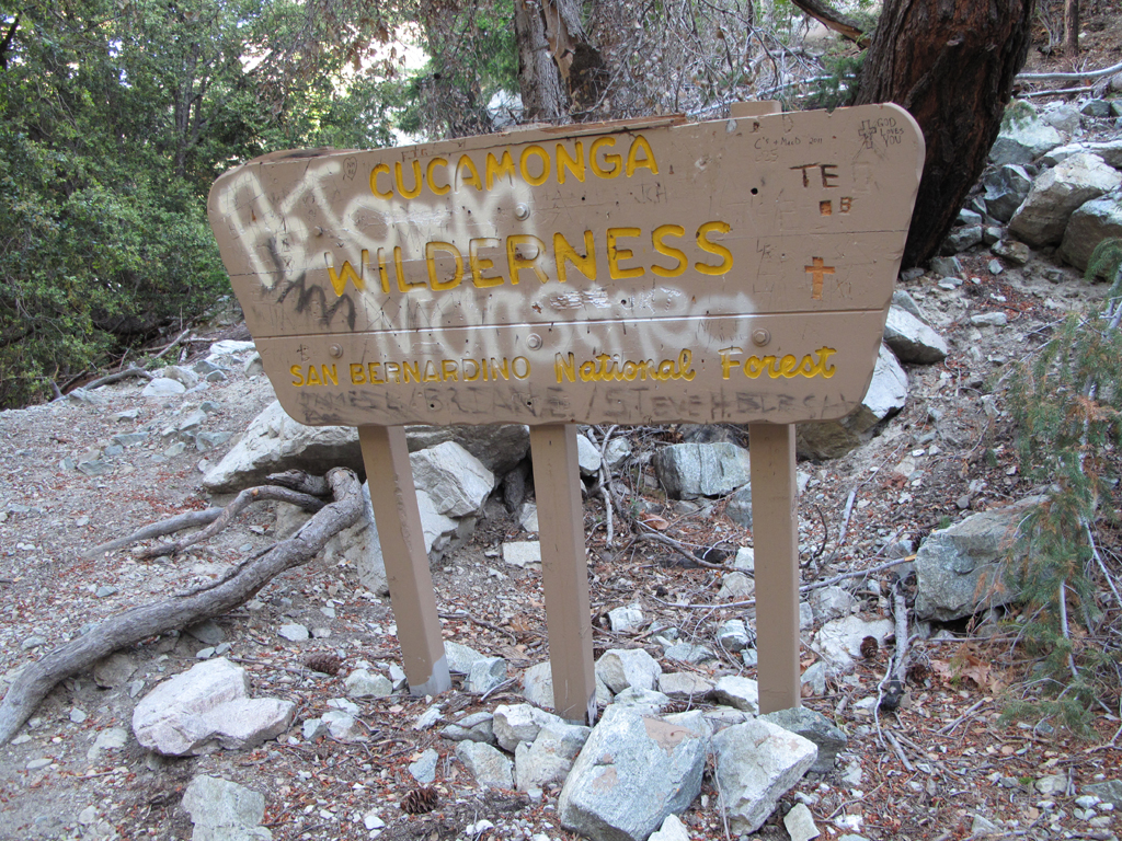
New sign on Cucamonga.

Image
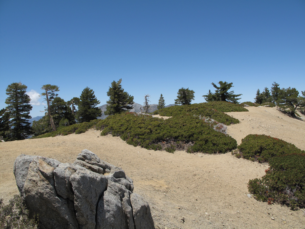
Another view on Cucamonga's summit.

Image
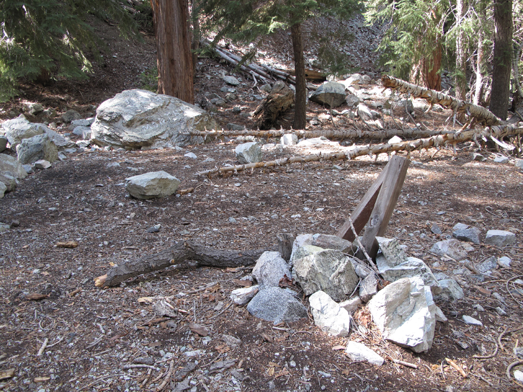
Commanche Trail Camp.

Image
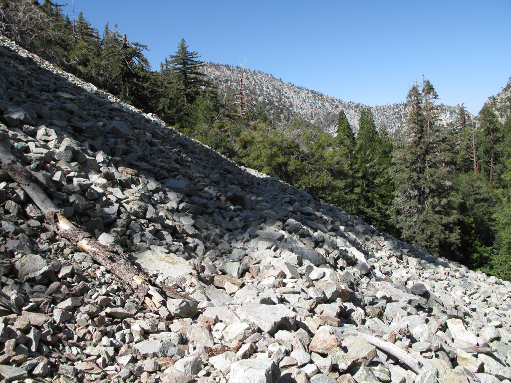
Talus field portion of the trail.

Image
Final view of Middle Fork, Lytle Creek as I near the trailhead.
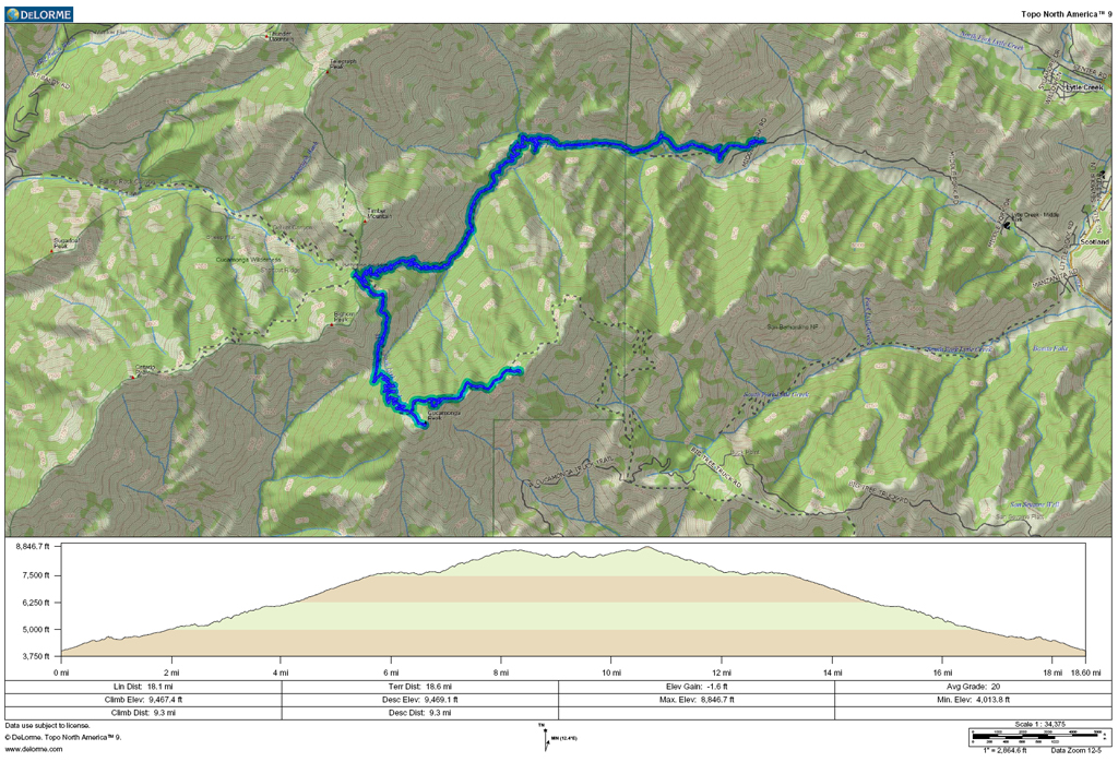
Image
GPS plot.
User avatar
longcut
Posts: 190
Joined: Wed Feb 02, 2011 1:40 pm

Post by longcut »

thanks for posting, gotta get up to Etiwanda some time.
User avatar
lilbitmo
Posts: 1092
Joined: Tue Mar 04, 2008 9:44 pm

Post by lilbitmo »

Nice, you are one of very few that I know that have ever done that complete route.

Great shots

The name sakes have been barking at me lately, what happened to the other Jake/Elwood, they were missing the TR's. They are glad you got out again. :D
User avatar
tarol
Posts: 126
Joined: Tue Nov 06, 2007 12:28 pm

Post by tarol »

nice - was hiking on the talus/scree hard?
User avatar
Elwood
Posts: 612
Joined: Fri Aug 15, 2008 5:23 pm

Post by Elwood »

The scree and talus laden parts of this hike are fairly short. I don't recommend them for newbies, those who are faint of heart, or prone to vertigo. One of these segments is reinforced by a log held to the hillside by fairly small re-bar. Kudos to the brave trailbuilders who pounded these into place. A missed step in these areas could really ruin your day. Regardless, it's fairly easy hiking. I usually load one foot at a time on both of these surfaces. It's insurance against rolling a foot on shifting talus and losing one's footing in sliding scree.
User avatar
Zach
Posts: 522
Joined: Sun Jan 04, 2009 4:25 pm

Post by Zach »

Sweet TR! Is it possible to make a loop out of this hike by going down that ridge from Etiwanda? If so, is it worth it... seemed like lots of dead trees in them pics!
User avatar
Elwood
Posts: 612
Joined: Fri Aug 15, 2008 5:23 pm

Post by Elwood »

Hey Zach!

I'm not sure that there's a satisfactory route all the way down to the creek from Etiwanda. I've been on the overgrown trail between Joe Elliot and Etiwanda several times though. The topo lines look perilously close together on any contiguous route all the way down.
User avatar
Mike P
Posts: 1005
Joined: Tue Oct 02, 2007 10:48 pm

Post by Mike P »

Elwood, is the old trail between Joe Elliot and Etiwanda/Cucamonga reasonably passable? Thx!
User avatar
HikeUp
Posts: 3855
Joined: Thu Sep 27, 2007 9:21 pm

Post by HikeUp »

Nice hike Elwood!

MikeP...I think Matt and Elwood have some TR's on here somewhere about the trail between Joe Elliot and Etiwanda. A search should find them pretty quick.

As far as Zach's idea, I think the canyon shown on this ACME map is the leading candidate to travel between Middle Fork and Etiwanda. A couple of years ago I made a half hearted effort to ascend that canyon - here are some pictures - and I think it would go. The crux would be at point C which I suspect could be a dryfall but easily bypassed.
Post Reply