20080502-03 San Gorgonio NUMBA THREE

TRs for ranges in California.
User avatar
Taco
Snownado survivor
Posts: 6036
Joined: Thu Sep 27, 2007 4:35 pm

Post by Taco »

So, He219 set off for our second attempt (my third) on San G. We were socked-in last time, with everything above Dry Lake being a big cloud of constantly falling snow. PITA.

All was well this time. He took pics, as my new, non-gigantic camera hasn't yet arrived in ze mail.

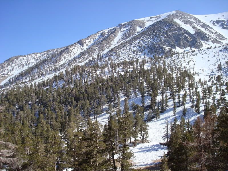
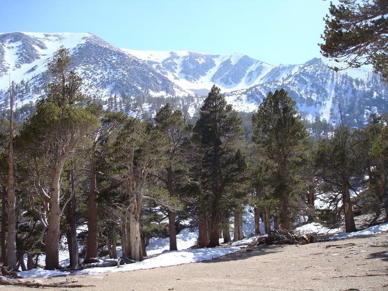
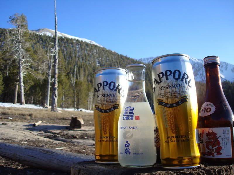
Went from South Fork, up to Dry Lake. Camped, drank our beer (Sapporo) and sake (Hakutsuru, filtered, not Nigori), and had our meals. Woke up, ate a bit and had some tea. We wanted to do Jepson Peak's North Ridge, but we ended up going for San G's North Ridge instead.

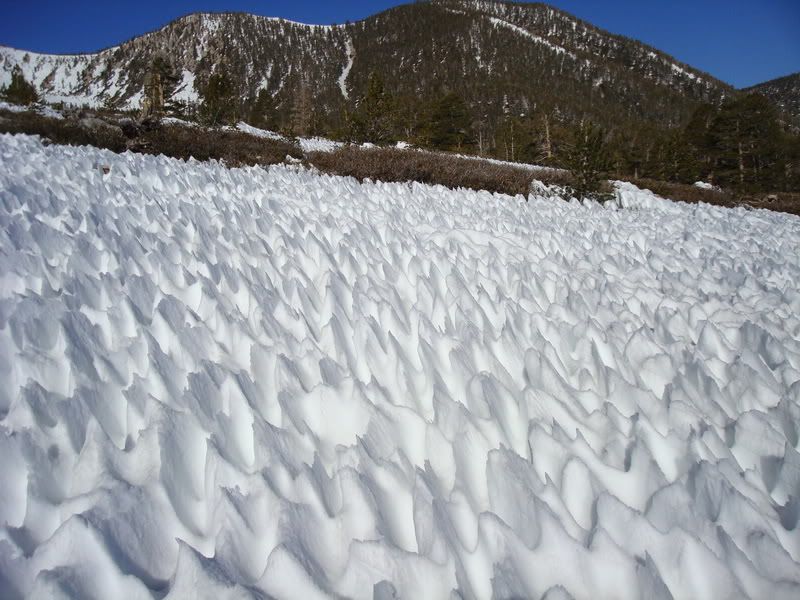
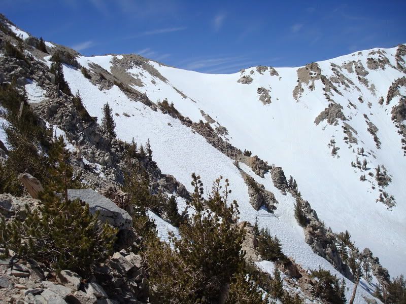
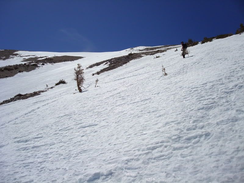
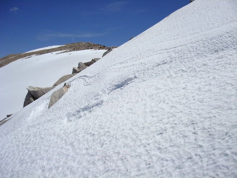
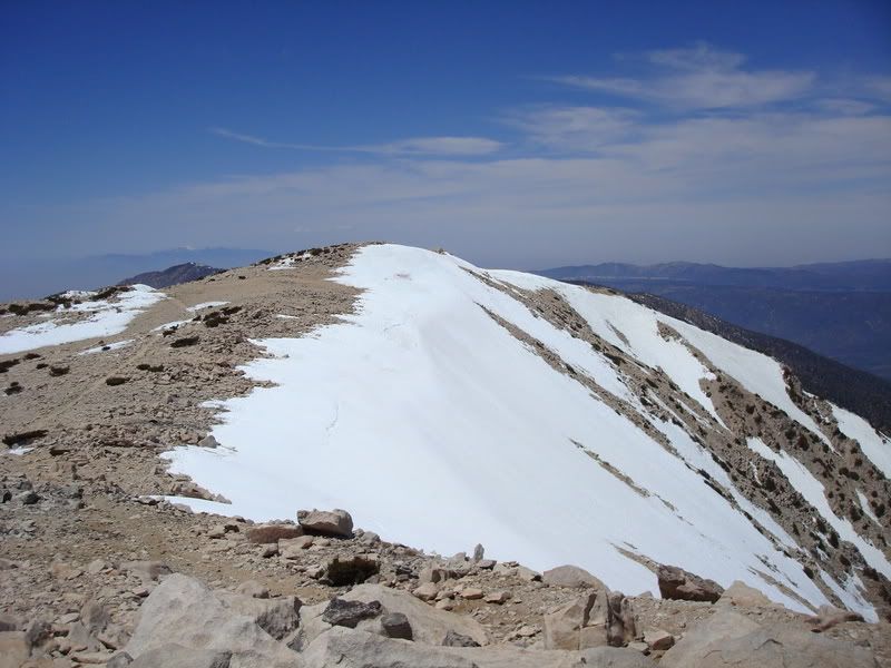
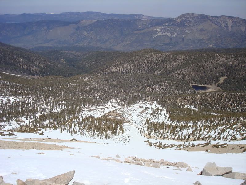
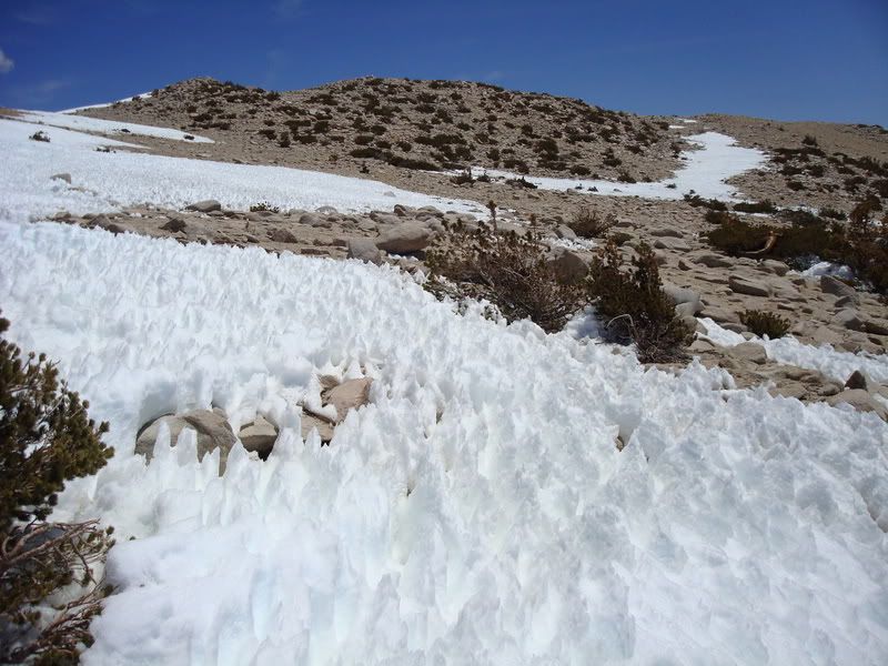
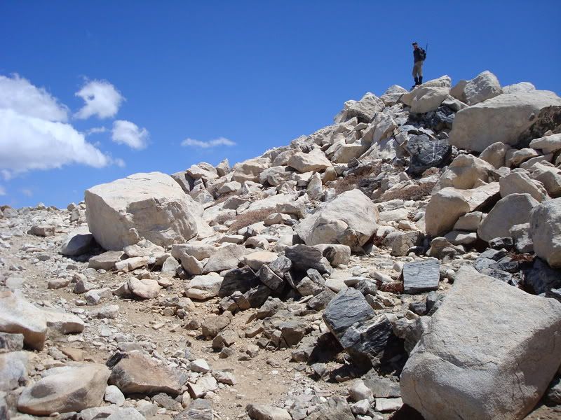
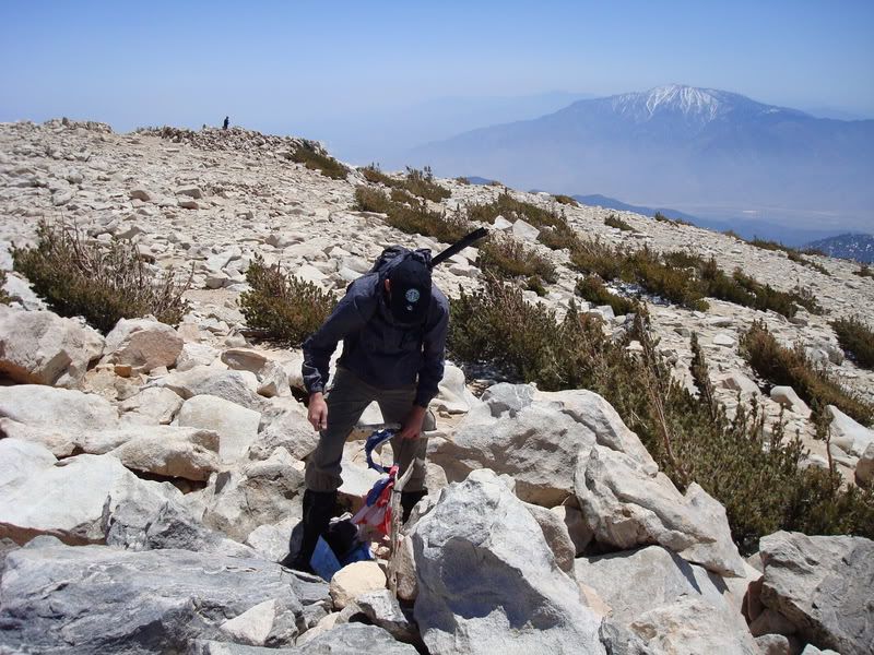
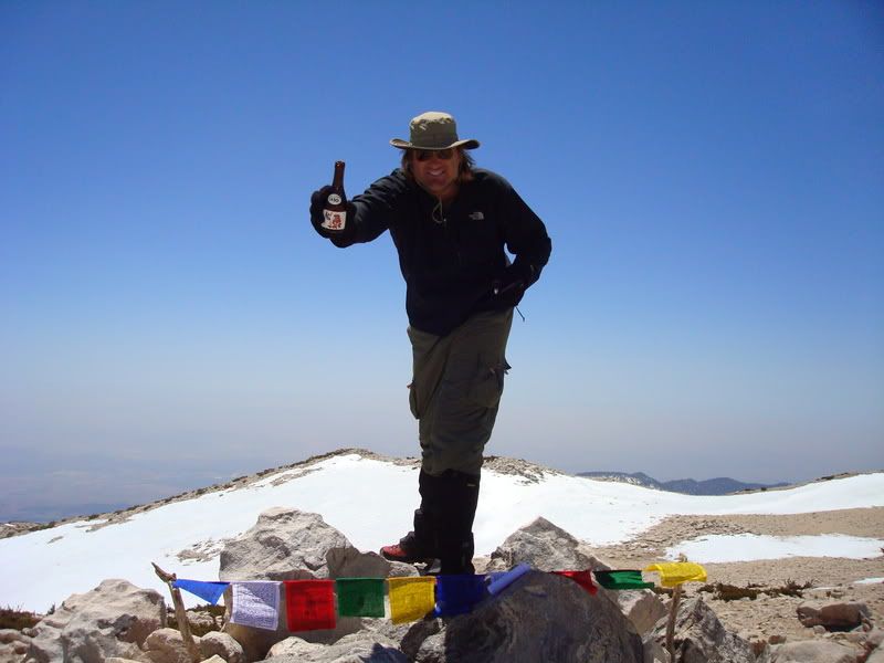
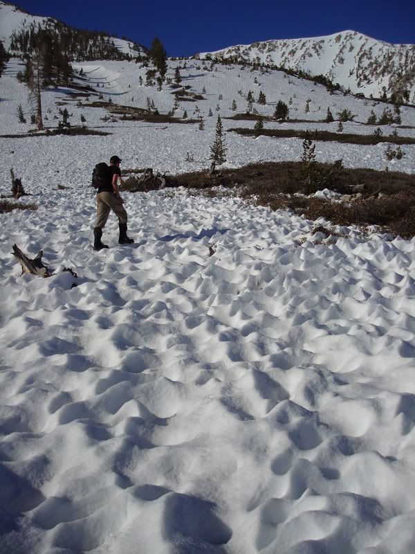
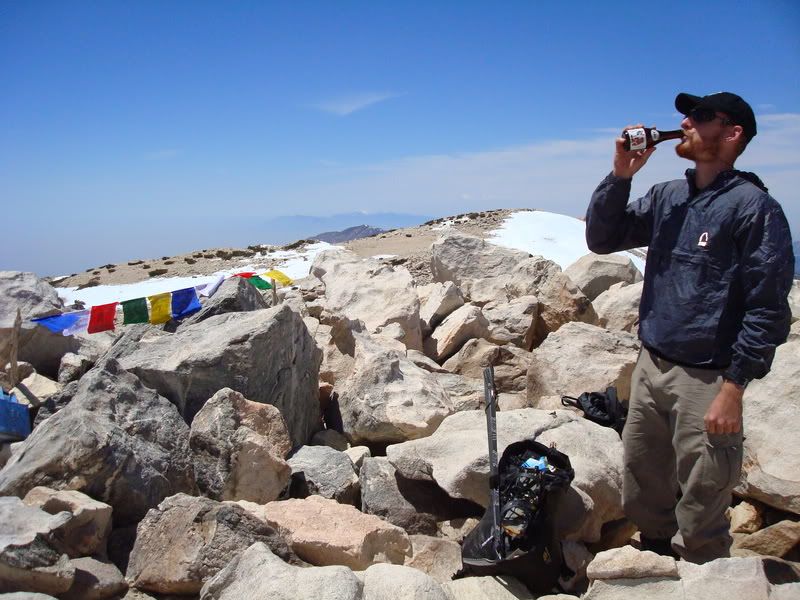
Friggin' sun formations (sastrugi?) were a BIG PITA, really annoying. We hit the ridge proper and avoided as much as possible. Did some scrambling on the ridge that overlooks the bowl between Jepson and San G (Big Draw?) with crampons on. Easy, fun, and not as crappy as the insanely crappy snow on the left of the ridge proper. Continued up, hit the top (like a big football field), and went to the summit. Busy-ish day, I reckon. Two Russians, two Rangers (friendly folks), some other guys, one with a rolly backpack and some sorta puzzlemaster jacket (like the bro's at Glamis wear). I removed the tattered American Flag from the summit, as it pisses me off to see my flag torn up. I now have a reason to come back, to replace it with a proper one with a real pole.

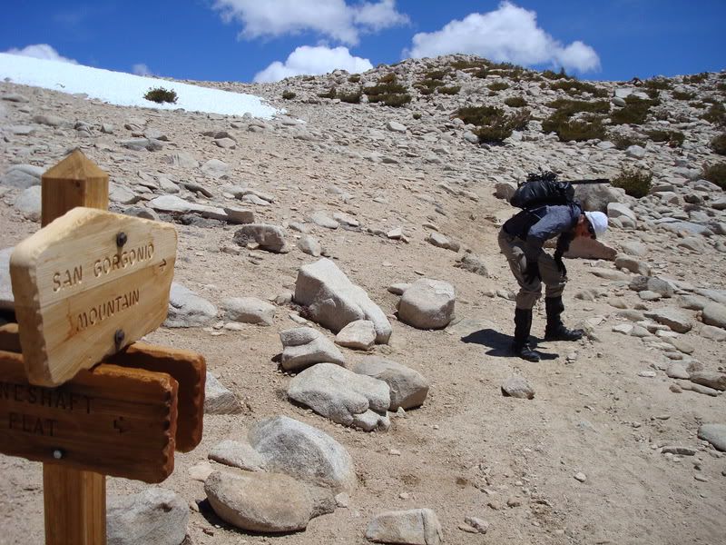
We went down the east side, and routefindededededed (route-found?) our way to... uh... more stuff. Followed the ridge, went down crappy snow, ended up doing a standing glissade WITH crampons, which was dandy but cautious. Went down into Mineshaft Flats or whatever (now known as either Manshaft (not mannschaft) or meatshaft flats... family friendly yes yes yes), and up to one of two saddles west of Lake Peak. Zippity zop, went down and moved to Lodgepole, then to Dry Lake, where the Rangers we met were talking to folks (in a friendly way). Had a good conversation with them. Took a quick break, broke down camp, and left Dry Lake at 7pm, arriving back at my wonderful Nissan Silvia S13 at 9pm. Supah-good speeduh!

Easy peasy. I don't care if I catch some sorta FlaK (Fliegerabwehrkanone, just the guns and not the projectiles? Sheisse!) for this, but San G seems like a really damn easy mountain. There are some nice looking areas on the Northeast Face (big stuff) that look a bit more fulfilling, but damn. WEAKSAUCE. Like a fat kid on a tricycle who just gave up with the stairmaster. :lol: I'm sure that bothers someone. I do not care. Wee!

Dragons Head... now THERE'S a harder looking mountain. :twisted: :twisted: :twisted: Added to next winter's list! Hell yeah. (Miguel knows what I'm talking about.)

And now for something completely different...
User avatar
HikeUp
Posts: 3932
Joined: Thu Sep 27, 2007 9:21 pm

Post by HikeUp »

TacoDelRio wrote:...PITA...ze....(Sapporo) and sake (Hakutsuru, filtered, not Nigori)...sastrugi?)...PITA...Busy-ish...rolly backpack...puzzlemaster ...Glamis...routefindededededed...Manshaft (not mannschaft) or meatshaft...Zippity zop...Supah-good speeduh!...Easy peasy...Fliegerabwehrkanone, just the guns and not the projectiles? Sheisse!...WEAKSAUCE. Like a fat kid on a tricycle who just gave up with the stairmaster. :lol: I'm sure that bothers someone. I do not care. Wee!...And now for something completely different...
Condensed version of your TR. :?

Learn a few new words every day!!! :wink:

Congrats on bagging the easiest 11,500 footer in SoCal.
User avatar
Taco
Snownado survivor
Posts: 6036
Joined: Thu Sep 27, 2007 4:35 pm

Post by Taco »

HAH!

BTW, AlanK, saw your signature in the summit register a few times. 8)
User avatar
AlanK
Posts: 1069
Joined: Thu Sep 27, 2007 9:28 pm

Post by AlanK »

TacoDelRio wrote:BTW, AlanK, saw your signature in the summit register a few times. 8)
I have visited San G a few times. After all, it is "The easiest 11,500' peak in Southern California!" :D :D :D
User avatar
Taco
Snownado survivor
Posts: 6036
Joined: Thu Sep 27, 2007 4:35 pm

Post by Taco »

Yeah, all those other 11.5's are a helluva lot harder. Gotta jump REALLY HIGH.
User avatar
He219
Posts: 386
Joined: Thu Sep 27, 2007 11:18 pm

Post by He219 »

Looking for the other +11.5K peaks in SoCal ...
8)
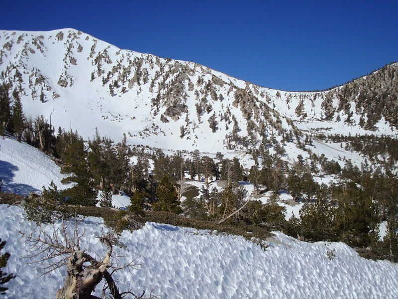
Image Suncups, then worse ..
Image
Freakin' neve penetentes everywhere ..
Image
Image
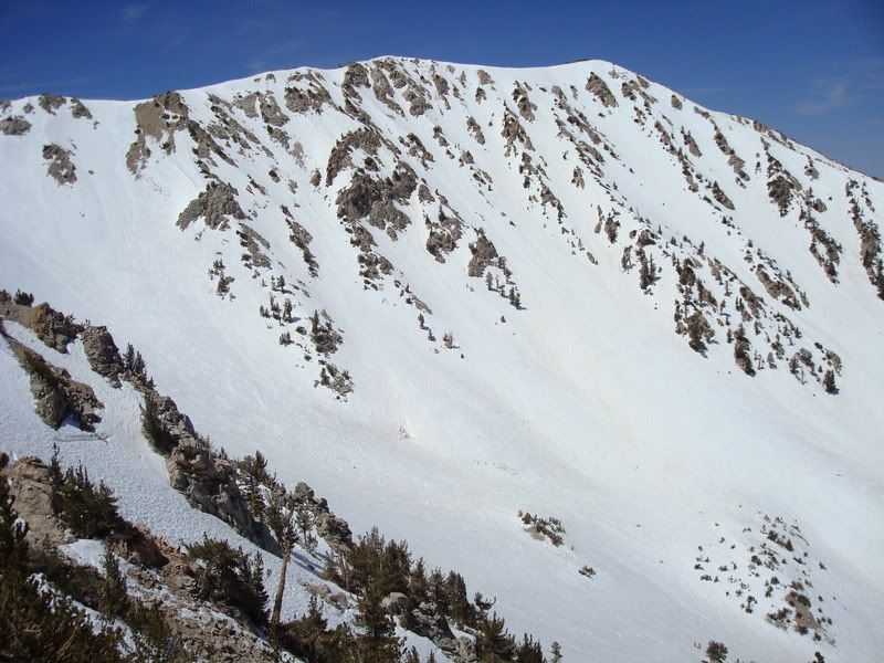
Jepson
Image
Big Draw
Image
Image
Finally a little decent hardpack/ice for the Sabretuths to bite into (top 100 feet)
Image
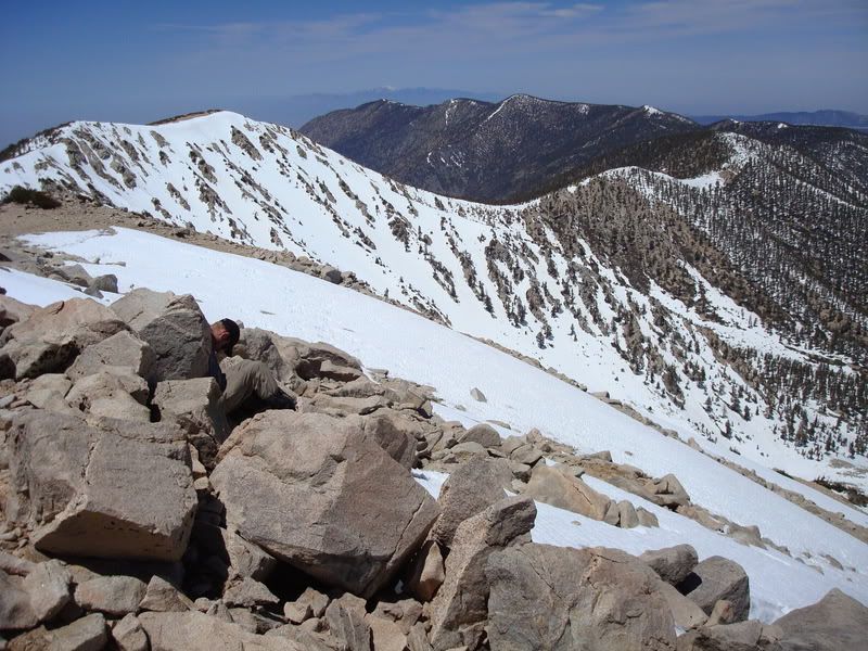
TDR sleeping off altitude
Image
Baldy in ze back
Image
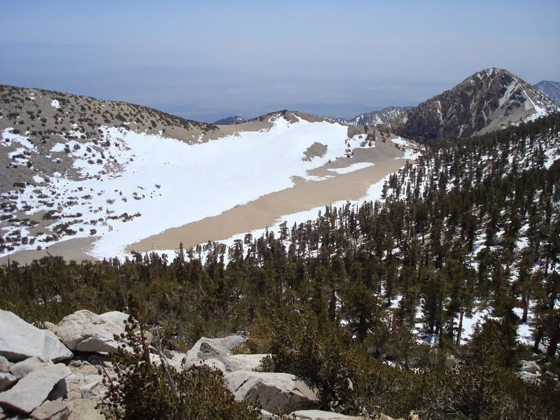
Bigbear Lake and not so Dry Lake. No mas igloo.
Image
Image
Edema setting in ..
Image
Alas!
Image
Torn Old Glory. Sacrelige!
Image
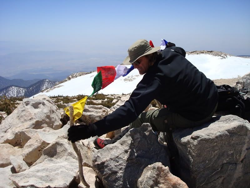
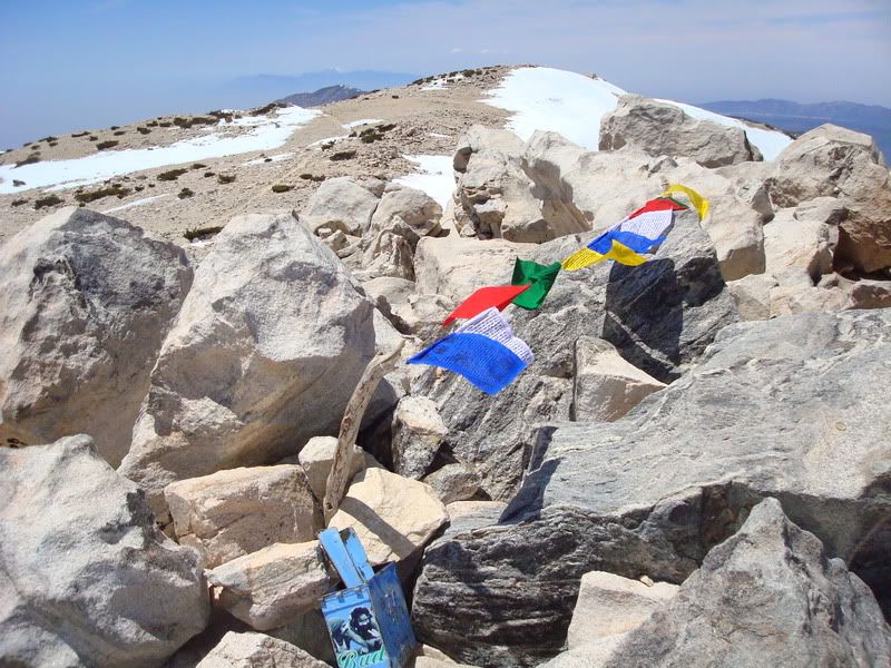
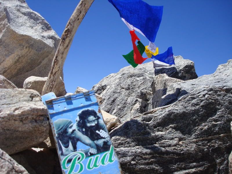
Up with ze new; Free Tibet!
Image
Random Summit Register; You put your _ in it!
Image
Image
Medicine.
Image
+10 Power!
Image
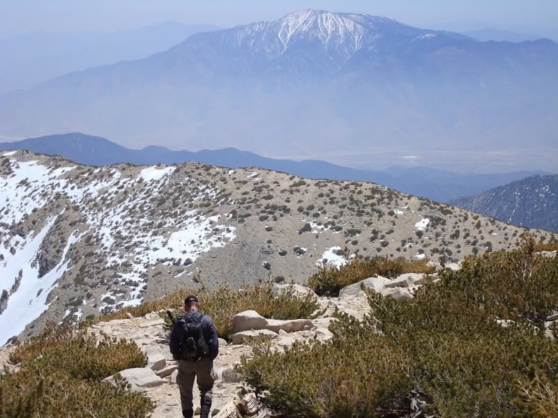
San Jacinto
Image
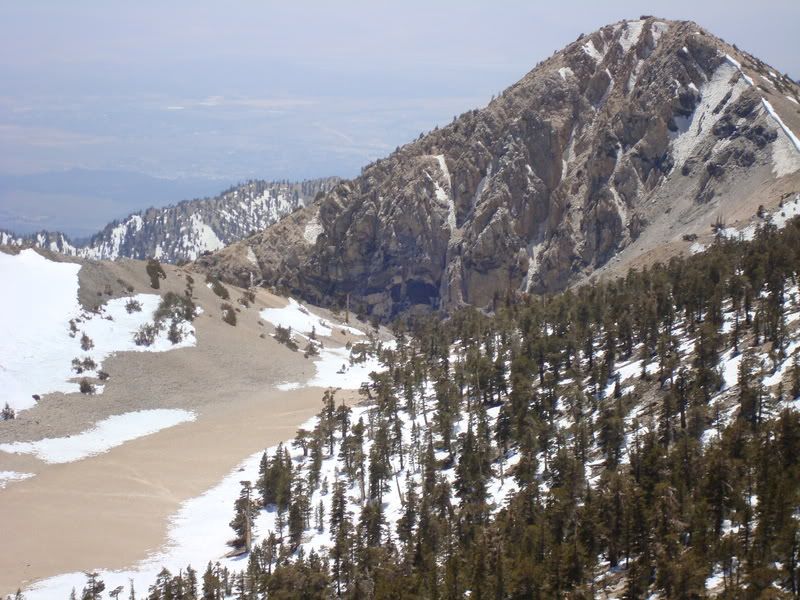
Ze Tarn and Dragon's Head.
Image
Image
Bushwacking it back ..
Image
Image
Demon Killaz. Game over.
User avatar
Tim
Posts: 560
Joined: Tue Apr 08, 2008 8:55 pm

Post by Tim »

Holy cow, those sun cups and nieves penitentes are out of control! They look like an army of gnomes ready to take over the world.

I did the same route as a day hike in early April. The nieves penitentes were way smaller back then. I actually agree that San G from that side isn't that technically difficult if you take the main chute up...it's just a really long ass hike. Btw, the igloo was already gone by then too.

In all my years of hiking, I have never, ever seen a ranger on any SoCal trail. Did they say why they were there? Were they checking permits?
User avatar
Taco
Snownado survivor
Posts: 6036
Joined: Thu Sep 27, 2007 4:35 pm

Post by Taco »

Demon Killaz. Onikoroshi Mutha Truckahz. Skizzle dizzle.
User avatar
He219
Posts: 386
Joined: Thu Sep 27, 2007 11:18 pm

Post by He219 »

Tim wrote:In all my years of hiking, I have never, ever seen a ranger in any SoCal trail. Did they say why they were there? Were they checking permits?
They never asked for permits and said they were checking the 'conditions of the trails' and nodded us on into neve penetente/bushwacking misery down below Mannschaft saddle.

When we returned to camp they were talking with some of the two dozen people that arrived; all official looking in USFS garb.
Nice Guys.
User avatar
JMunaretto
Posts: 370
Joined: Thu Feb 07, 2008 11:03 am

Post by JMunaretto »

how do those snow formations occur? someone mentioned something about particles from wind settling in spots and varying the melting time...
User avatar
Tim
Posts: 560
Joined: Tue Apr 08, 2008 8:55 pm

Post by Tim »

From Mountaineering, Freedom of the Hills:

Nieves penitentes: When sun cups grow up they become nieves penitentes (nee-EH-vays pen-ih-TEN-tays, from Spanish for "penitent snow"). Nieves penitentes are the pillars produced when sun-cup hollows become very deep, accentuating the ridges into columns of snow that look like praying statues. They are peculiar to snowfields at high altitudes and low latitudes, where solar radiation and atmospheric conditions conductive to sun cups are intense. The columns often slant towards the midday sun. Nieves penitentes reach their most striking development among the higher peaks of the Andes and Himalayas, where they may become several feet high and make mountain travel very difficult.

Sun Cups: Where sunshine is intense and the air is relatively dry, sun cup depths usually increase with increasing elevation and decreasing latitude. On the ridges of each cup, sun-heated water molecules evaporate from the snow surface. In the hollows, water molecules released by solar heating are trapped near the snow surface, forming a liquid layer that promotes further melt. Because melting can occur with only one-seventh of the heat that is required for evaporation, the hollows melt and deepen faster than the ridges evaporate. The hollows are further deepened by differential melting when dirt in the hollows absorbs solar radiation. The sun cups melt faster on the south (sunny) side of the northern hemisphere, so the whole sun-cup pattern gradually migrates northward across a snowfield.
User avatar
Taco
Snownado survivor
Posts: 6036
Joined: Thu Sep 27, 2007 4:35 pm

Post by Taco »

Yeah, read that bit on the sh*tter a few times today. :lol: The'yre like Sastrugi, only vertical, and formed by sun and not wind. So, they're like suncups, but they're really more like Penetentes, since they're vertical. However, they're not developed enough to really be penetentes yet, so they're more like Sastrucuptentes. 8)
User avatar
hvydrt
Posts: 494
Joined: Thu Sep 27, 2007 8:18 pm

Post by hvydrt »

did anyone one top say anything about conditions on vivian creek?
FIGHT ON

Post by FIGHT ON »

TacoDelRio wrote:Yeah, read that bit on the sh*tter a few times today.
Did you actually read it more than once while on the sh*tter or did you go to the sh*tter more than once reading it once each time? or was it printed on your sh*tter? :?
User avatar
Hikin_Jim
Posts: 4686
Joined: Thu Sep 27, 2007 9:04 pm

Post by Hikin_Jim »

TacoDelRio wrote: Dragons Head... now THERE'S a harder looking mountain. :twisted: :twisted: :twisted: Added to next winter's list! Hell yeah. (Miguel knows what I'm talking about.)
We'll look forward to your SE face ascent TR soon. No fair waiting until next winter. :wink:
User avatar
Hikin_Jim
Posts: 4686
Joined: Thu Sep 27, 2007 9:04 pm

Post by Hikin_Jim »

Tim wrote:In all my years of hiking, I have never, ever seen a ranger on any SoCal trail. Did they say why they were there? Were they checking permits?
Lol. USFS Rangers in the actual back country are few and far between. The one place I have seen them a few times is in the SGW; usually checking permits. Most of the time volunteers, but sometimes an honest-to-goodness gov't employee.
Never seen even one USFS ranger in all my years in San Gabs in back country.
NPS and State Parks -- different story. Particularly at San J, seen a lot of rangers at the little CCC haus in Round Valley.

Ever wonder why, when a trail is re-routed for some reason, that re-routes are so crappy??! No rangers ever hike!! Don't get me started. :) Glad to have backcountry and not too much over management.
User avatar
Taco
Snownado survivor
Posts: 6036
Joined: Thu Sep 27, 2007 4:35 pm

Post by Taco »

Hikin_Jim wrote:
TacoDelRio wrote: Dragons Head... now THERE'S a harder looking mountain. :twisted: :twisted: :twisted: Added to next winter's list! Hell yeah. (Miguel knows what I'm talking about.)
We'll look forward to your SE face ascent TR soon. No fair waiting until next winter. :wink:
Yeah right! Nothing on it but some rotten snow. Next winter... if a "pure" approach is in order, it'll be ludicrous. Probably gonna do something a tad easier to get to it.

But yeah, SEF. :twisted:
User avatar
EManBevHills
Posts: 387
Joined: Fri Sep 28, 2007 12:40 am

Post by EManBevHills »

Sastrucuptentes says it all. Nice meeting ya!
User avatar
Taco
Snownado survivor
Posts: 6036
Joined: Thu Sep 27, 2007 4:35 pm

Post by Taco »

Right back atcha! Good meeting folks out in them thar hills.
User avatar
Hikin_Jim
Posts: 4686
Joined: Thu Sep 27, 2007 9:04 pm

Post by Hikin_Jim »

TacoDelRio wrote:
Hikin_Jim wrote:
TacoDelRio wrote: Dragons Head... now THERE'S a harder looking mountain. :twisted: :twisted: :twisted: Added to next winter's list! Hell yeah. (Miguel knows what I'm talking about.)
We'll look forward to your SE face ascent TR soon. No fair waiting until next winter. :wink:
Yeah right! Nothing on it but some rotten snow. Next winter... if a "pure" approach is in order, it'll be ludicrous. Probably gonna do something a tad easier to get to it.

But yeah, SEF. :twisted:
Heading from Mill Creek Jumpoff ("A") to the Dragon's Head ("D") ought to offer plenty of challenge. There's a ravine ("B") that points first N and then NE and winds up at a saddle ("C") SSE of the summit ("D") that looks like it would be an interesting approach.

http://mapper.acme.com/?ll=34.08988,-11 ... ntain%20CA

The area that trends SE from the Dragon's head is gnarly.

The most common approach (that I know about) is from the Vivian Creek trail, leaving the trail at "A", countouring to "B", proceeding up the drainage to the saddle N of the summit "C", and then proceeding WSW to the summit "D":
http://mapper.acme.com/?ll=34.08963,-11 ... ntain%20CA
User avatar
Taco
Snownado survivor
Posts: 6036
Joined: Thu Sep 27, 2007 4:35 pm

Post by Taco »

Stop being so damn helpful, Jim! :lol:

I had thought of some cross country easy land nav mixed with bushwhacking to make it down to the base of Dragons Head. That's the route I have locked in thus far.

Gnarly = awesome
User avatar
Hikin_Jim
Posts: 4686
Joined: Thu Sep 27, 2007 9:04 pm

Post by Hikin_Jim »

TacoDelRio wrote:Stop being so damn helpful, Jim! :lol:
Sorry, didn't mean to mess things up like that for ya. I'll try to be more obfuscatory next time. :lol:

OK, here's your new route, with free Parking at the Cabazon outlet mall.
http://mapper.acme.com/?ll=34.00856,-11 ... ntain%20CA
I'll be lookin' for dat TR real soon. :lol:
User avatar
Taco
Snownado survivor
Posts: 6036
Joined: Thu Sep 27, 2007 4:35 pm

Post by Taco »

That's more like it!

:lol: :lol: :lol:
User avatar
EManBevHills
Posts: 387
Joined: Fri Sep 28, 2007 12:40 am

Post by EManBevHills »

Not wanting to give you too much beta, my limited experience (1st solo winter trip in CA) was that the route to the Jumpoff is quite rotten & therefore scary in places....(I missed the turnoff to Vivian Creek and went exploring.)
I recall being miserable, probably because I packed in both shoes and skinny skis -- "just in case" -- and had far too much additional gear to boot. A great early CA skiducation! :o
FIGHT ON

Post by FIGHT ON »

Hey eman? Are you lookin at me? Looks like you are lookin at me :? Wait a sec.............. ya I think you're lookin right at me. I keep movin from side to side, close the computer lid, restart, and when I come back, no matter what I do or how hard I try to hide, you are still peekin out from under that hat. AT ME. DUDE I DON'T EVEN KNOW YOU. WHAT EVER YOU THINK I DID, I DID NOT DO IT. OK? :(
User avatar
EManBevHills
Posts: 387
Joined: Fri Sep 28, 2007 12:40 am

Post by EManBevHills »

I'm not looking at you!

But I must say that I have the utmost respect for Ian and his talent.
I chose his avatar because I named my bicycle after his steed in LOTR.

At the risk of being redundant, I'm not looking at you. You're so vain......
:twisted:
FIGHT ON

Post by FIGHT ON »

So that's not you? and you're not lookin at me? Ok. Just that every time I read posts and that pic is on the screen it seemed that someone was staring at me. With an evil eye. It's cool. Btw, that hat is cool, I think the color matches the nose on Tacos avatar.
FIGHT ON

Post by FIGHT ON »

So that's not you? and you're not lookin at me? Ok. Just that every time I read posts and that pic is on the screen it seemed that someone was staring at me. With an evil eye. It's cool. Btw, that hat is cool, I think the color kinda matches the nose on Tacos avatar.
User avatar
Hikin_Jim
Posts: 4686
Joined: Thu Sep 27, 2007 9:04 pm

Post by Hikin_Jim »

TacoDelRio wrote:
Hikin_Jim wrote:
TacoDelRio wrote:Stop being so damn helpful, Jim! :lol:
Sorry, didn't mean to mess things up like that for ya. I'll try to be more obfuscatory next time. :lol:

OK, here's your new route, with free Parking at the Cabazon outlet mall.
http://mapper.acme.com/?ll=34.00856,-11 ... ntain%20CA
I'll be lookin' for dat TR real soon. :lol:
That's more like it!

:lol: :lol: :lol:
Let's just say that it would be seriously awesome.
(awsome=gnarly)
User avatar
He219
Posts: 386
Joined: Thu Sep 27, 2007 11:18 pm

Post by He219 »

TacoDelRio wrote:Yeah right! Nothing on it but some rotten snow. Next winter... if a "pure" approach is in order, it'll be ludicrous. Probably gonna do something a tad easier to get to it.

But yeah, SEF. :twisted:
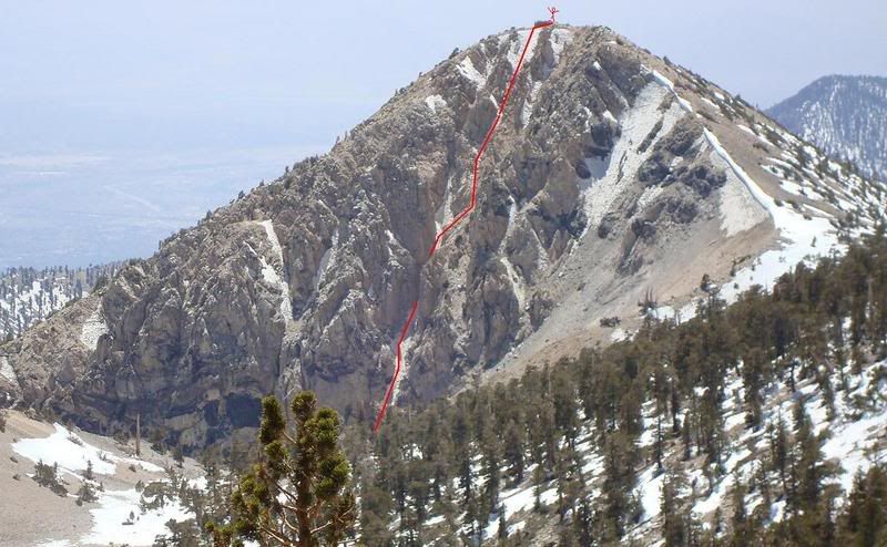
something like this perhaps?
8)
Image Hires
Post Reply