Saturday morning Turtle and I met up at Eaton Saddle. We were on foot by 0430. Following a very brief miscued walk up the road (my fault), we were headed down Valley Forge trail under the light of our headlamps. The stream crossing at Falls Canyon was ever so slightly confusing due to the the monotone of the trail under the lamps. The Gabrielino trail (11W14) between Valley Forge and Strayns Canyon is in rough shape, though safely passable. Past Strayns (and the Kenyon Devore trail) it was smooth sailing into West Fork trail camp. We were running a bit behind our rendevous time with Ms. Turtle below Chantry. We opted for the fire road (2N24.1) to save some time between West Fork and Newcomb Pass. Bugs were a little annoying. I was pretty happy with the "Natural" repellant that I'd picked up at REI the night before. Not as nasty as the 100% DEET and MUCH more pleasant than the net hat worn the week before. I still haven't been on the stretch of trail between Devore and 2N24.1 since the fire. We managed to raise a friend of mine who was headed up to Chantry on the ham radio. He ID'd and intercepted Ms. Turtle, relaying the news of our delay. We blasted past Sturtevant, Zion then Cascade. After grabbing a snack by the footbridge below Chantry, Turtle and I headed up 11W14B and caught up with his wife. The three of us hiked up over the falls, and up the Sturtevant trail to the summit pavilion on Mount Wilson. Following a nice break at the Cosmic Cafe, we replenished our water supplies and headed down the trail and toll road to the Upper Winter Creek trailhead. At this point, Ms. Turtle headed back to her car at Chantry. Turtle and I continued down the Toll Road in the 91F warmth to the Idlehour trailhead. Following a brief break, we trod on through to Inspiration Point. I'd run out of 'climb' at this point and requested that we hike the fire road around Mt. Lowe. We didn't know what to expect regarding the dangerous slide outside Mueller Tunnel. We couldn't imagine it being much worse than hopping over San Gabriel Peak. Though I can't recommend it to anyone with vertigo, this crossing was a big yawn. Turtle and I returned to our cars around 1930, having completed a delightful thirty-five mile day hike.
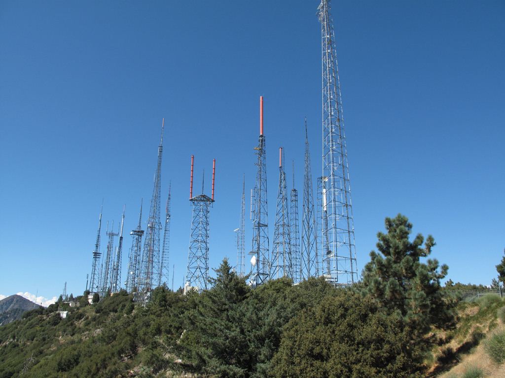
Antenna towers on Mount Wilson seen as we descended the trail to the Toll Road.
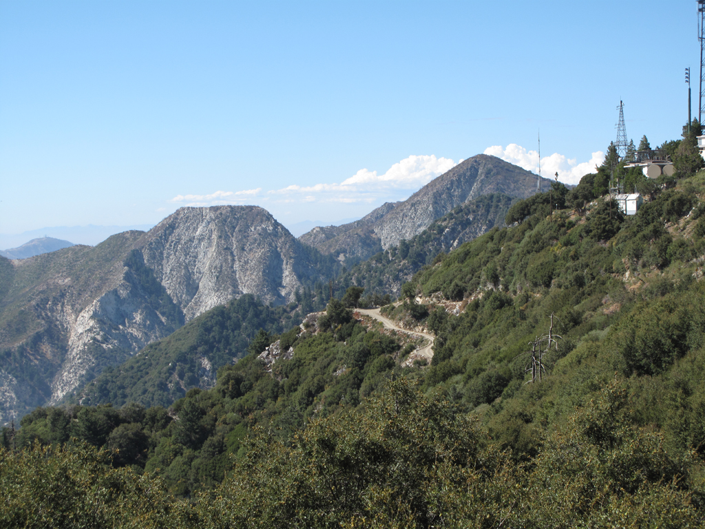
Mount Markham and San Gabriel Peak.
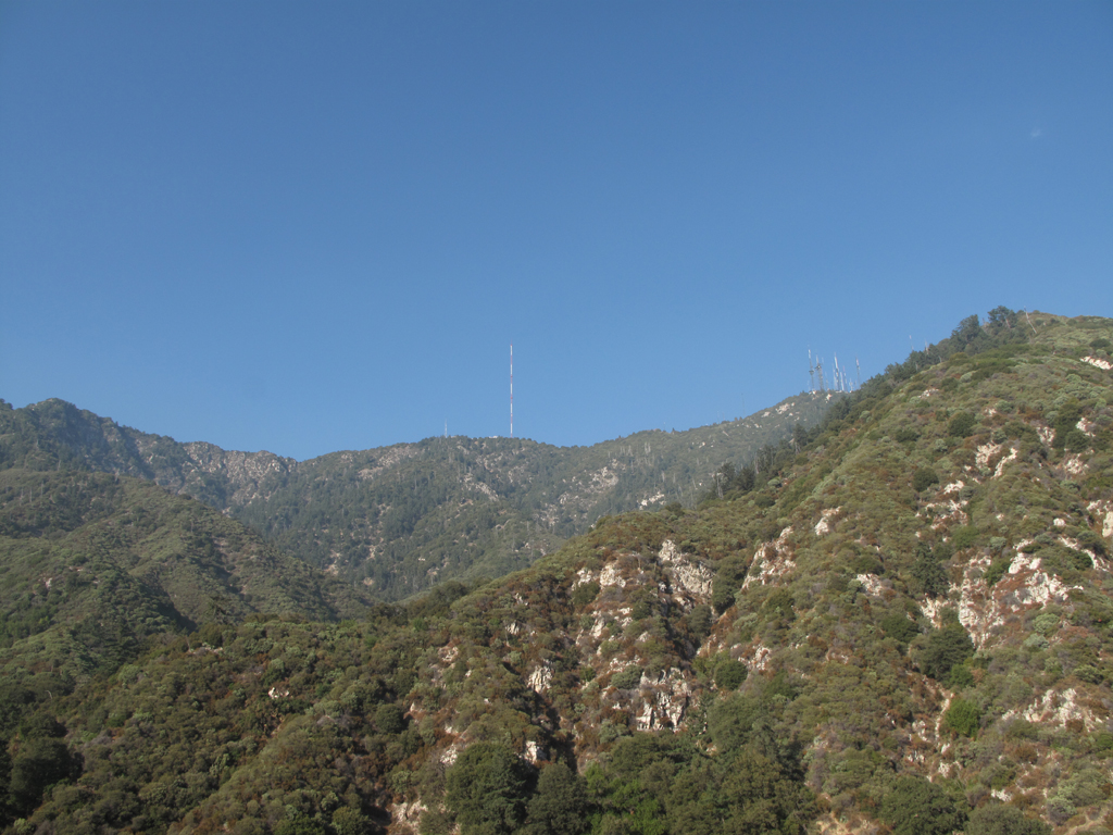
Occidental Peak and Mount Wilson, seen from the Idlehour Trail.
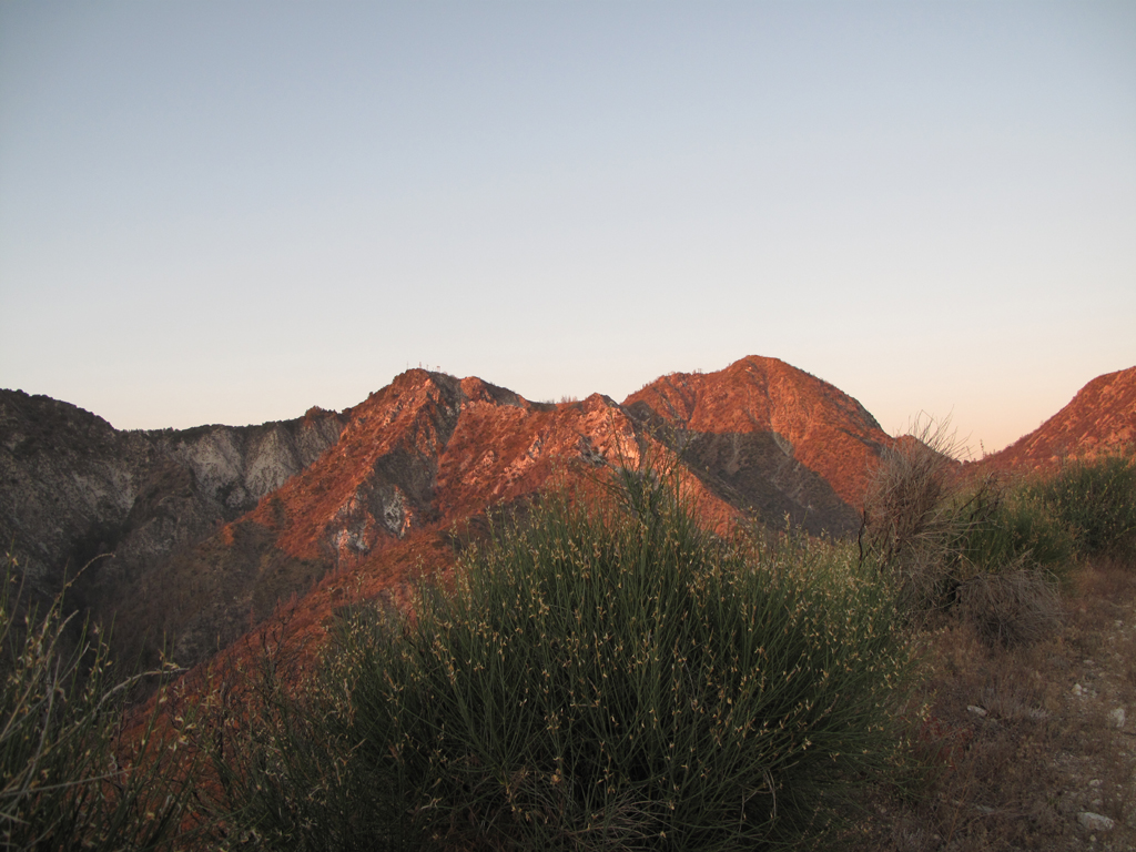
'Alpenglow' on Mount Disappointment and San Gabriel Peak.
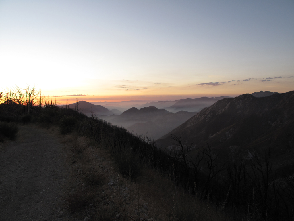
View down Bear Canyon as the sun sets.
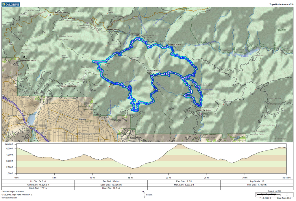
GPS track and elevation plot.


