We drove down the 15, exit Sierra, up Lytle Creek to where it turns to dirt and is named 3n06. We took 3n06 up towards Stockton Flat, where we examined the entrance to 3n33, which proved to be a tad more "technical" than 3n06. I had previously thought we would be unable to pass through this road.
We moved a bunch of small rocks out of the path of my truck's vitals, and headed off carefully, crossing the wash. The road was very rocky, but my RWD 1990 Nissan 1/4 ton light pickup with street tires did just dandy (though I blew one out on the way out of 3n06). on the way back down this road, I hit a rock hard enough to spin my steering wheel, slamming my elbow into my arm rest hard enough to shatter the old vinyl, and breka the rest loose. I will remove this damn thing promptly. (Thumbs were not in spoke's path)
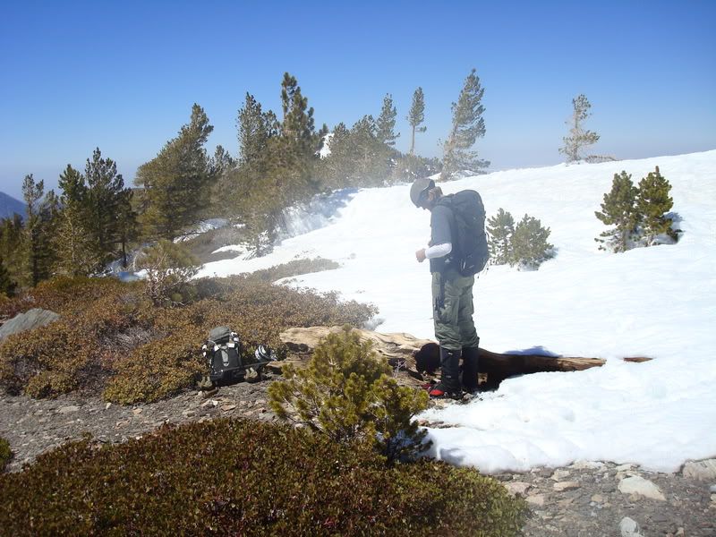
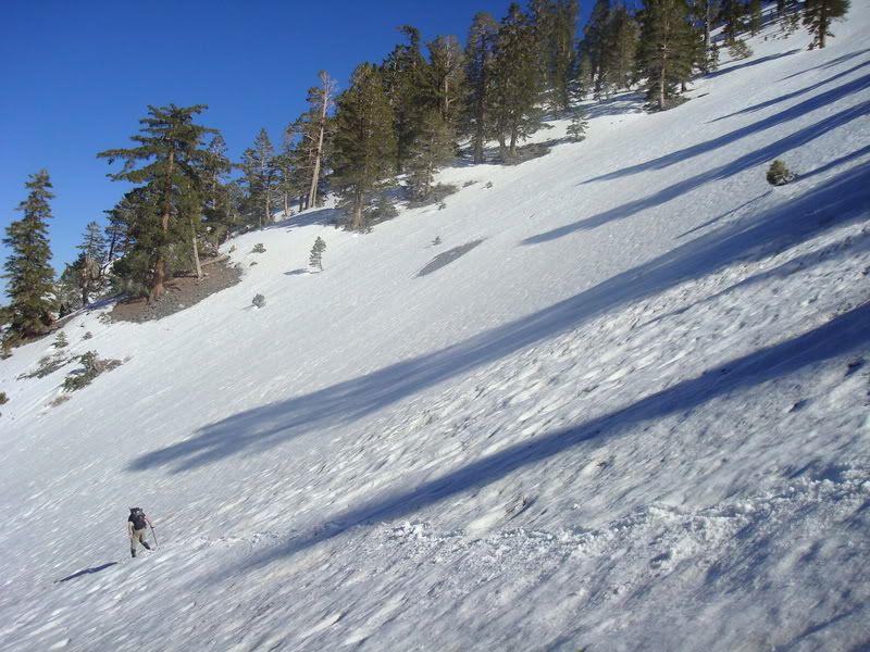
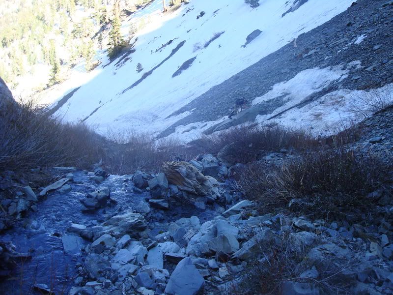
Anywho, made it as far as my little truck could. THere are two stream crossings (at this time of season, at least) furhter up towards what we presume to be the end of the road. I was able to cross the first, but the rocky ramp at the end of the second was the end. I had to back out, and park up on a small high spot. From there, we began the approach to the climb...
Map of Roads

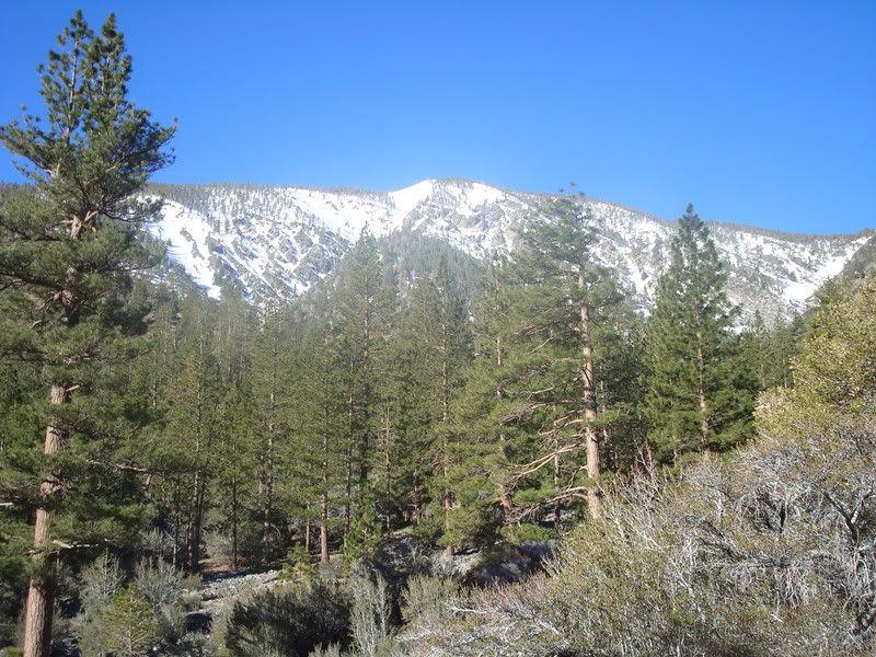
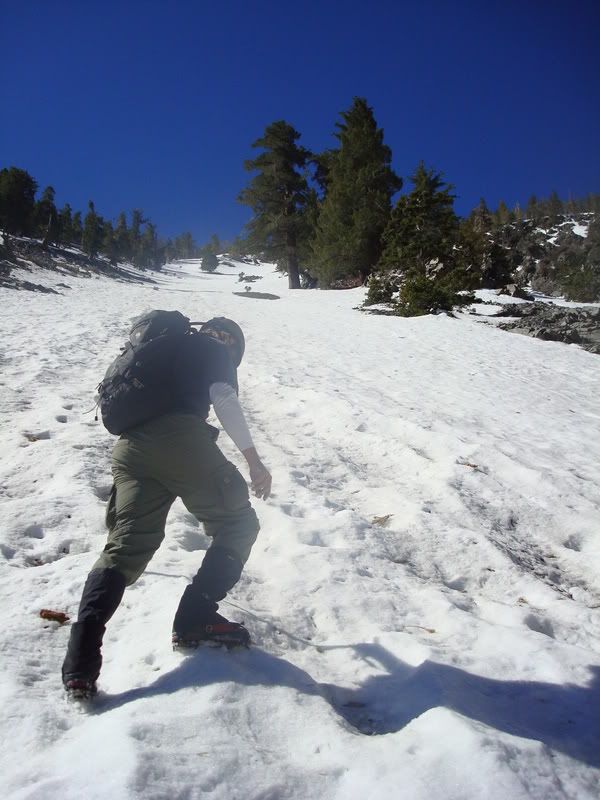
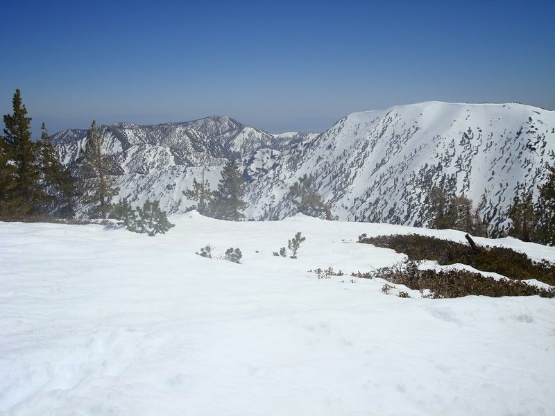
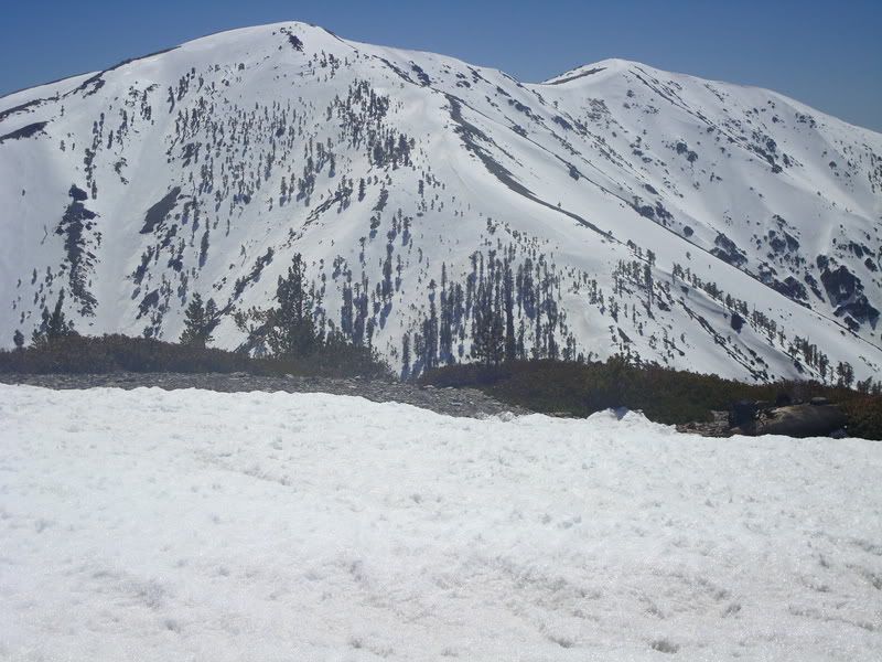
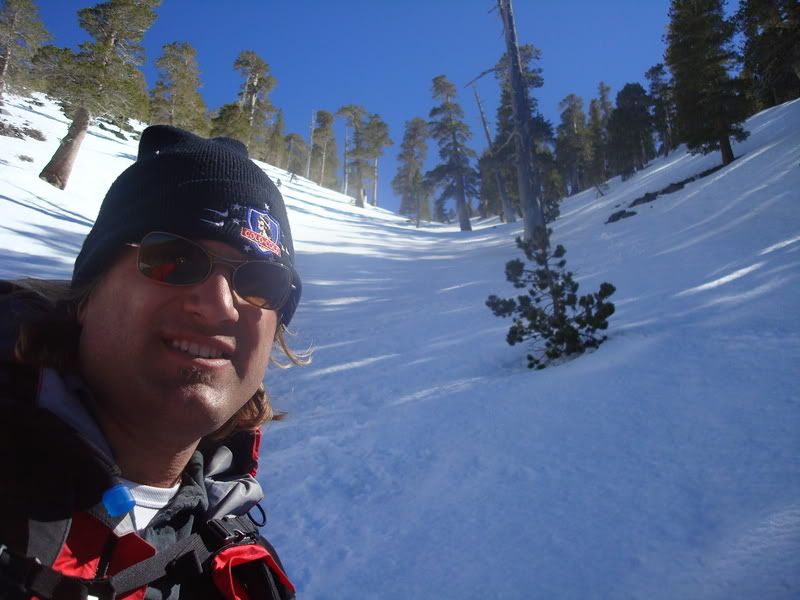
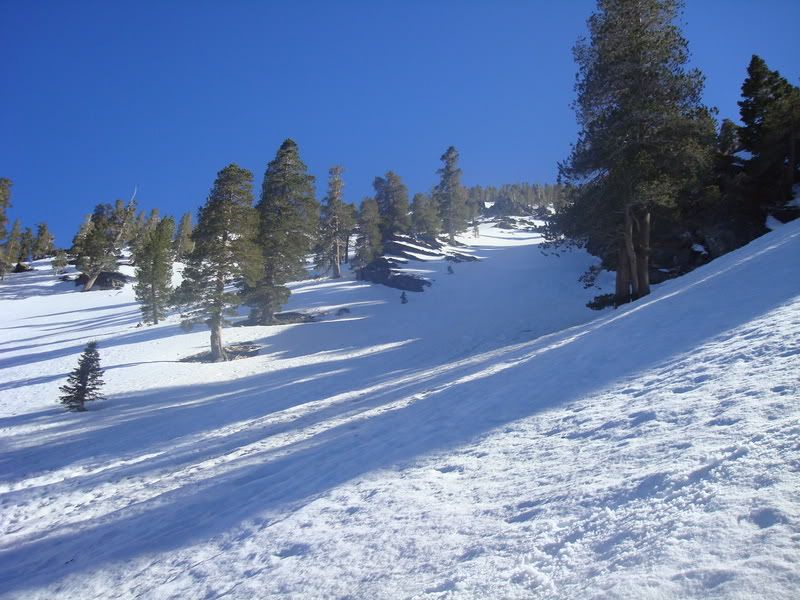
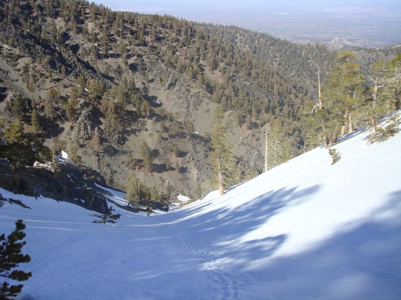
We hiked up a tributary canyon of Dogbone Canyon up towards the couloir/gulch that heads to the summit of Dawson.
Route Image, Google Earth

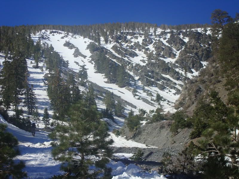
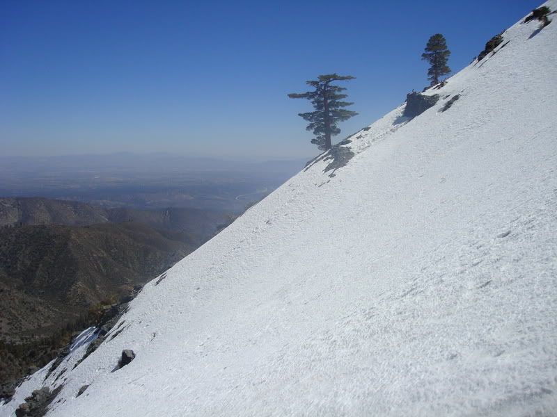
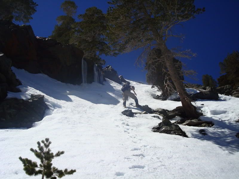
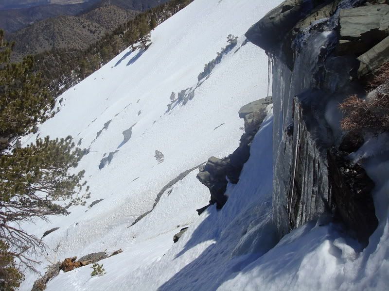
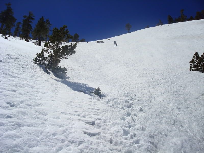
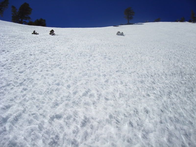
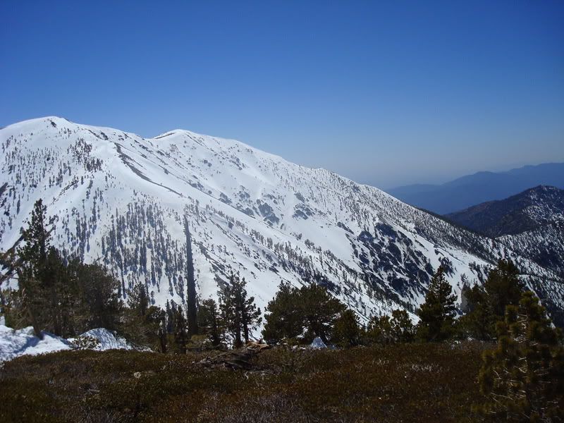
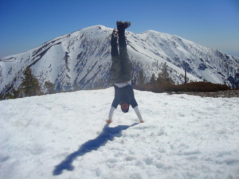
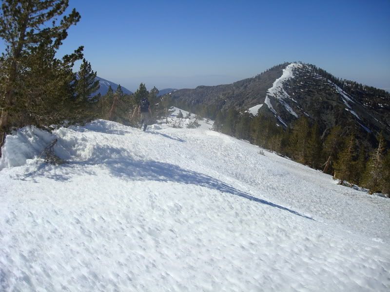
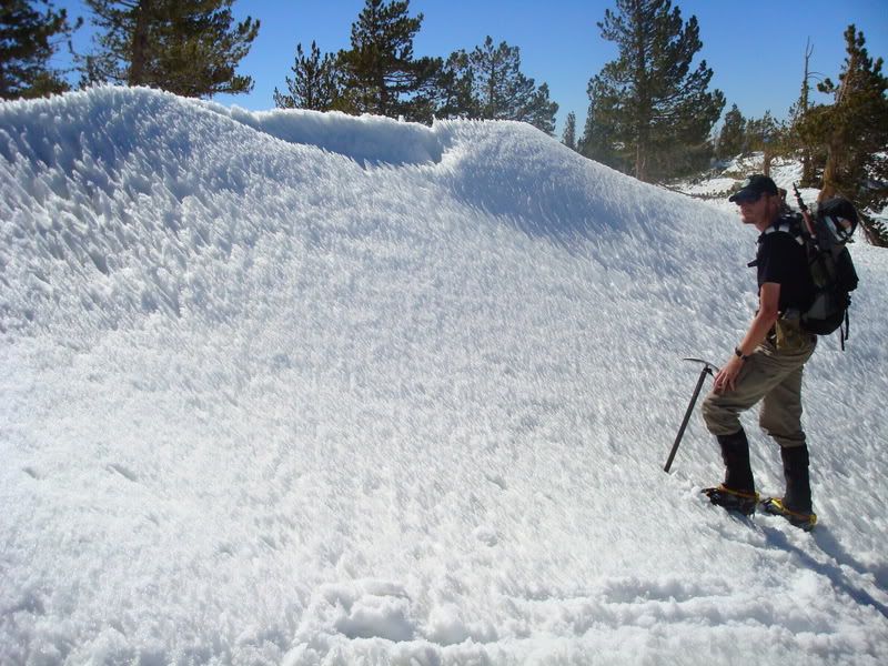
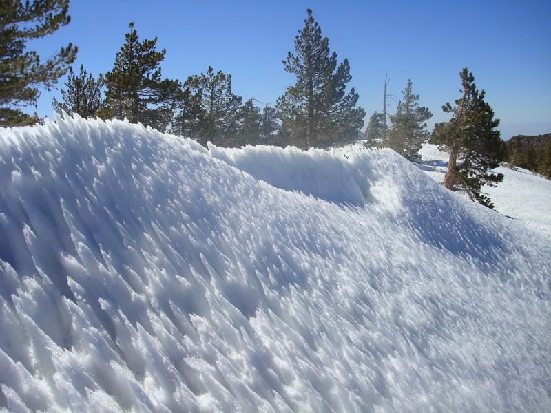
We hiked up to the snow tongue, a very large avalanche debris path, and the route started around 7300ft. The route is very straightforward from here, and you simply continue up the snow until you run out of "up". Most of the route is an easy snow climb, much like Baldy Bowl. The steepest sections are 45-50 degrees or so, though i admit that I cannot measure things especially accurately. On a simpler level, there were sections where one would have a difficult time self-arresting.
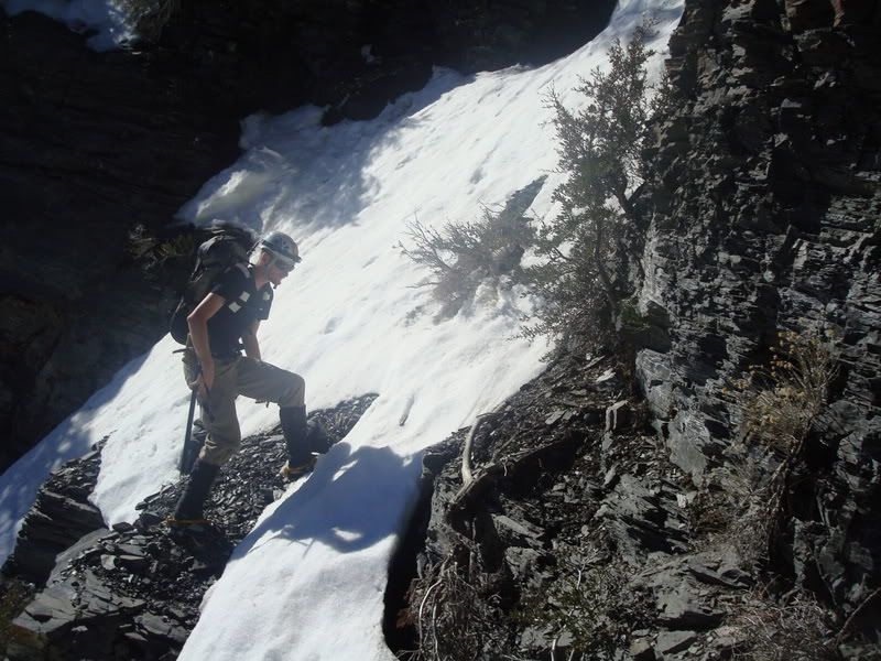
The route turned out to be a very fun one, and a good warm-up or cool-down alpine route with no technical sections at the moment. if done later on a cold day, I would believe there to be harder sections of ice, and some dryfalls which would require bypassing or climbing.
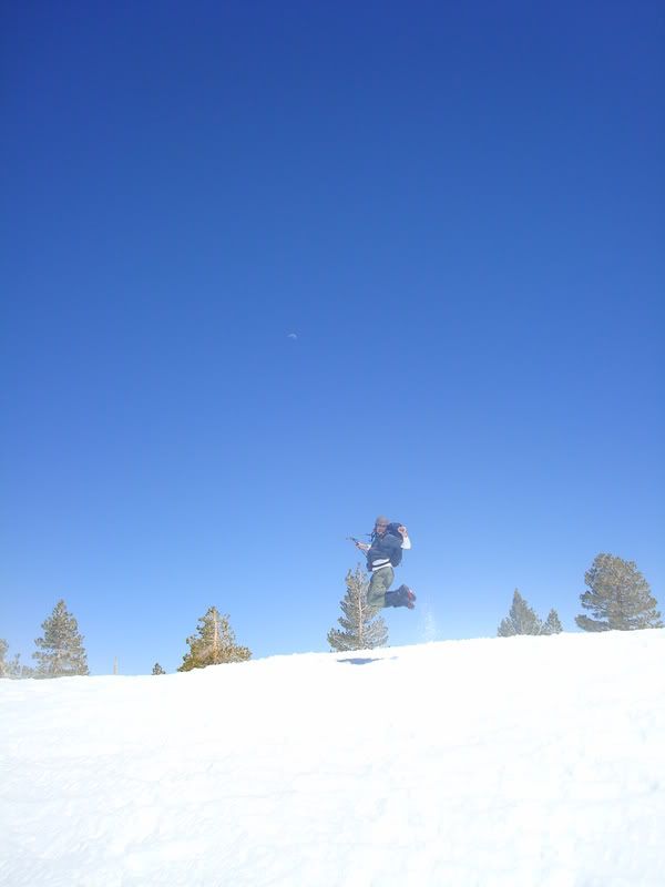
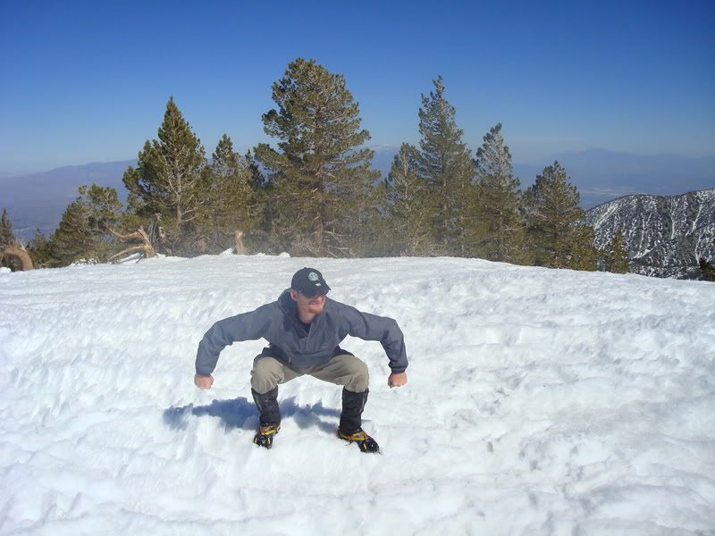
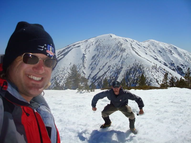
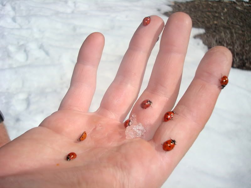
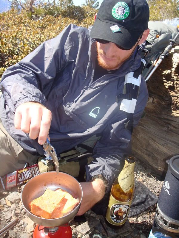
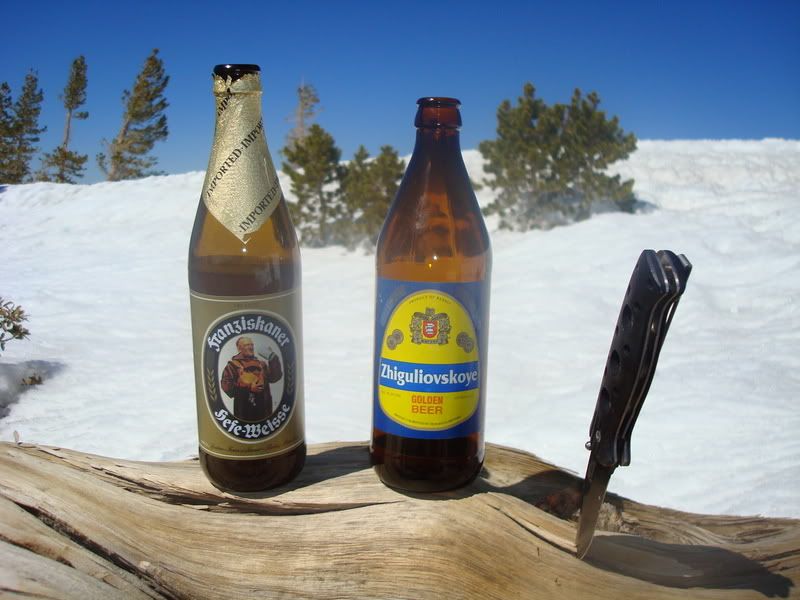
We hit the top around 1400/2pm, and "got our drink on"/ate. There were hundreds of ladybird beetles (ladybugs) on the summit. Another strange thing was the BILLIONS of aphids in the snow the whole way up. WTF?
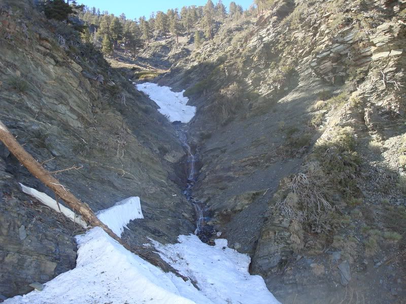
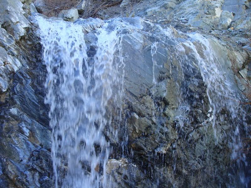
Descent was via a wide gully that looked like 406 would bust a nut over. I do not ski, and know little regarding what's ski-able, but this one looked badass. To ski this one down instead of going on foot would be ideal. This gully is located on the east-side of the saddle between Dawson and Pine, and starts nearer the summit of Dawson, heading North-Northeast. Lower down, there are waterfalls. We had little problem getting down, doing some bushwhacking. If it was later in the season, a rappel kit would be handy, just some slings and a light rope. We did not need one, but had conditions been different, it may have been necessary. Some slings (make a Swiss seat or diaper sling for a harness), a couple lockers, rope, rapp ring, etc would be a great addition to any basic kit up here. Some tape long enough for a Swiss Seat (have used 12ft for myself) is much lighter and more versatile than carrying a harness, and one need not rack anything 90% of the time. I guess I'd bring a few larger nuts and a hex or two, just in case there are no trees or strong bushes nearby.
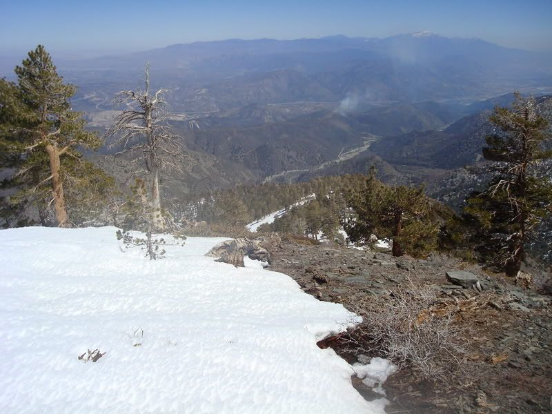
Once near the forest, we just hiked down, bathing our sunburns in the nice warm sun. Made it to the truck, and began the fun drive out (and tire swap).
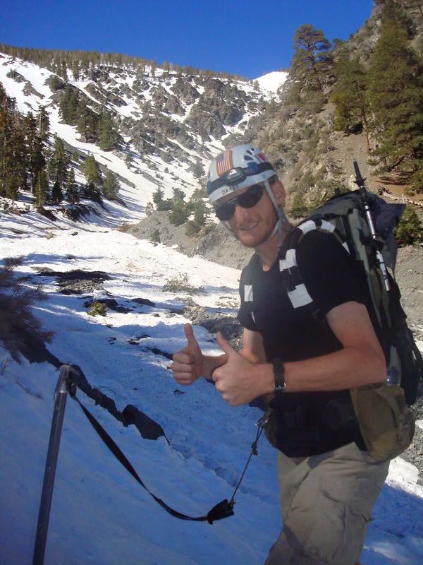
Temps were nice and warm, though not so warm as to be overly dangerous. He219 dodged the only two rocks to fall down the route yesterday.
-=STATS=-
Dogbone Canyon Area Route, Unnamed 690M CL3 AI2
Approach Start 1951m 6400ft
Route Start 2225m 7300ft
Summit 2919m 9575ft
Route 693m 690m 2275ft
Total 967m 3175ft
-=NOTES=-
-If you wish to go down this road or attempt Dawson of Pine, or anything from this far back, please take a vehicle with enough ground clearance, and 4wd/AWD would help as well.
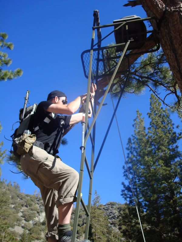
My camera did the whole "!CARD NOT INITIALIZED!" thingy, so He219 was the photographer yesterday.
Good times!