As we stepped out of the truck at the hostel we noticed that there was an unusual amount of people milling around with packs most of them looked quite bedraggled from having just escaped the full furry of the weather Gods on Whitney. This distraught young lady approached us as we were unloading our full camping packs and said “Are you here to climb a mountain”? Yes I said, she immediately said with excitement “Don’t do it, there’s people dying on that mountain” and went on to explain that the rain came on so fast that it created a flood up on the mountain, that rocks were falling all over the Portal Road, that it was closed, that a helicopter was coming in to get the rest of the people off the mountain. The clouds were quite dark and it did give us pause but I politely explained that we were going up a different mountain and that we did appreciate the information; she was all of thirteen and was quite shaken by the whole ordeal.
We checked into our room and the kind folks in the room next to ours wanted to know if we could help them figure out if the mountain would be open the next day so we pointed them to the receptionist at the front desk and told them to ask her to contact Doug at the Portal, he would know for sure if the road was open, turns out that it was closed but I heard “Horseshoe Meadows” road was closed as well but someone I know drove right around the sign and made it to the meadows with no problems at all, seems that they (the powers to be) were just being extra careful and put a sign up on that road as well, but there was no rock fall anywhere on that road.
When we awoke at 4AM the sky was absolutely clear, it appears that when those famous “Monsoons” come to the Owens Valley, they hit each day between 10 AM and 1 PM and stay until sometime after dark, during which they rain, hail, thunder, lightning, the works, but when it cools down then they vacate the area until the following day when the cycle is repeated. Having read about this “phenomenon” somewhere I was quite sure that we had a window of 7 hours to race into the wilderness and set up camp before the cycle repeated. Everyone agreed to continue with our plans, so up the Sheppard Pass road we went, up the trail we went, we made good time to the “Pothole” just below Sheppard’s Pass where we put up our tents and it wasn’t 20 minutes later the rain started coming down. In that brief time after the tents went up Turtle suggested we start our hike at 3 AM, the decision was unanimous, and we decide not to risk the tougher route up the chimney on Williamson opting instead to make a run up Mount Tyndal since it would be easier to get a start up that in the dark.
While we sat in our tents watching the rain come down, we also heard climbers coming back from their attempt on the summits, most were quite wet but there’s nothing like good real time Beta, so on went the jacket over to the ledge to yell down to them to ask how conditions in the pass were and on the mountain itself. Everyone’s answer was the same, the pass presented only one small snow section at the top which needed to be crossed but there was a way to go around on the dirt if it was iced over – that sealed it, we were going in as soon as we could get ready at 2:30AM. By 3:30 AM we were at the base of Sheppard’s Pass heading up the switchbacks and topped out in 35 minutes or so, then crossed the first part of the plateau to the edge of the lake grabbed water and headed over to the west ridge of Tyndal. After a good break we started the boulder scramble up until we reached the little “U-notch” that is the false summit on the west side, from there we worked our way around further southwest and up to the real summit. Mark (Turtle) was kind enough to do the advance scouting while I waited in the U-notch for Ty and Tina to come up, to follow me over to the real summit.
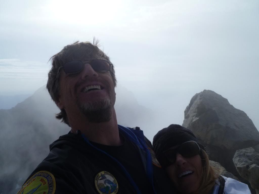
Just as we topped out (9AM) the weather started move in, it had formed over the White Mountains, and over the Western Side what looked like the San Joaquin Valley to the west, both looked gnarly, but it was just drifting in as “pea soup” in our area, the top 300 feet of Williamson was completely covered with maybe 100 feet of Tyndal. The summit picture shows us and “pea soup”. Since Mark had already tagged the summit he waited back at the mid-saddle between the east and west peaks and Ty had decided to go down as he felt that it would take him longer to summit than the rest of us, he went down the chute below him which was even further west than what we came up. Tina and I back tracked to Mark in the saddle, then choose the quicker route down the “north rib” and made our way back to Sheppard’s Pass, then down to our tents. Thinking that Ty would have surely have beaten us back there, we were somewhat surprised that he was not, it was 11:25 AM and the rains had just started. I was a little worried that something happened but Mark pulled out his map and said that Ty took a longer route let’s give him a good hour before we get excited. Sure enough Ty rolled in on “cue” at 12:30, he rested for 20 minutes before we packed in up in the rain and headed out. By the time we reached 10,000 feet the rain had turned to a mist and then quit altogether 500 feet below that.
Ty talked about going to the world famous “buffalo burger” place in Lone Pine but since the day was dragging on we all out voted him and settle on that other famous “Irish Place” Mickey “D’s” where we grabbed some grub and headed home. Most of the talk while we ate was of how lucky we were that someone was watching out for us. This was another epic trip that required adapting to the conditions and with a little luck we stayed fairly dry while others were getting pelted.
Thanks Tina for putting this together, thanks Ty for driving, thanks Mark for leading the ridge to saddle to summit and thanks everyone for working as a team. Hopefully everyone made it off the mountain safely in all the areas as well.
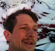
The view looking up at Mount Whitney from the Hostel just before dark on Friday.
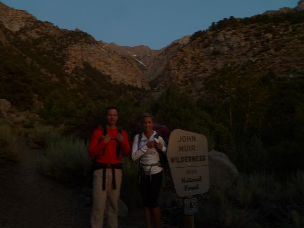
Tina and Turtle at the John Muir Wilderness Sign 6AM Sat morning
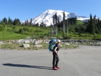
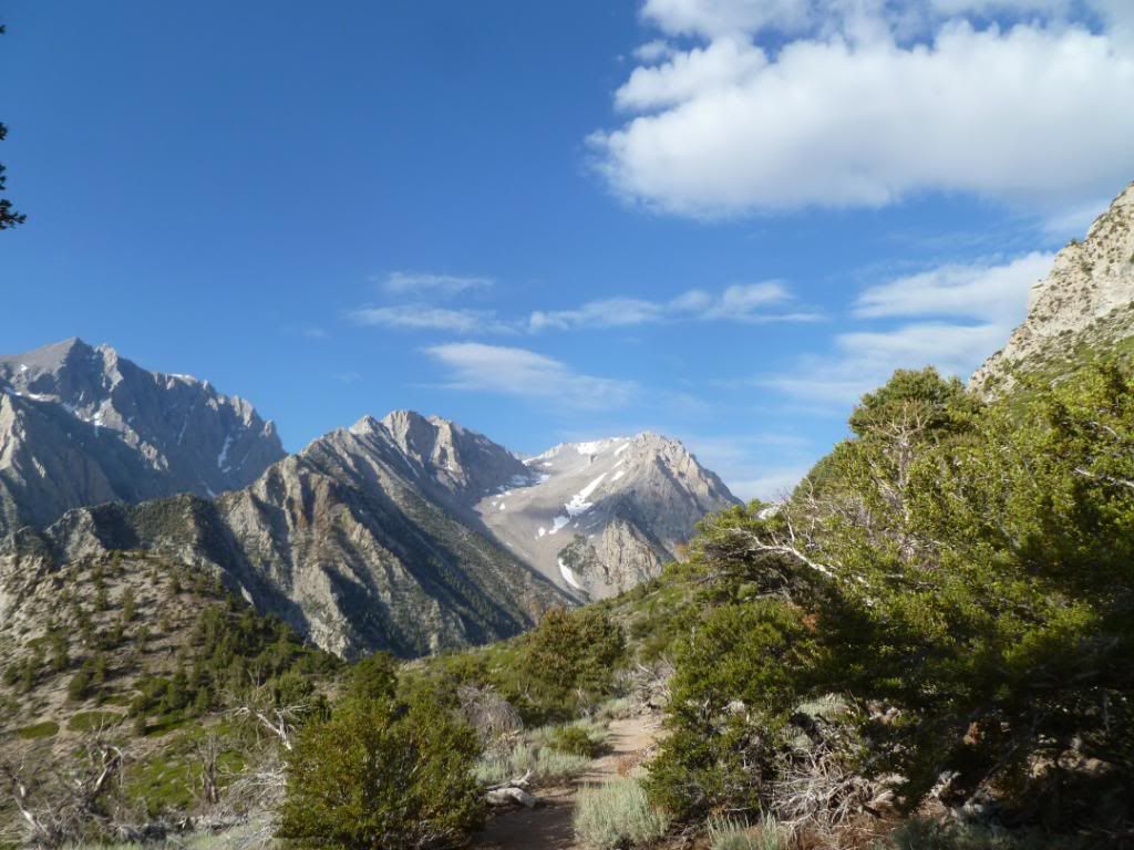
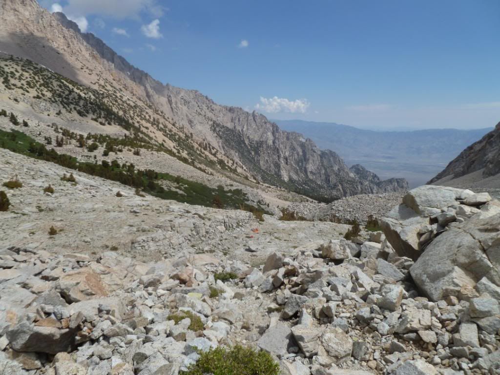
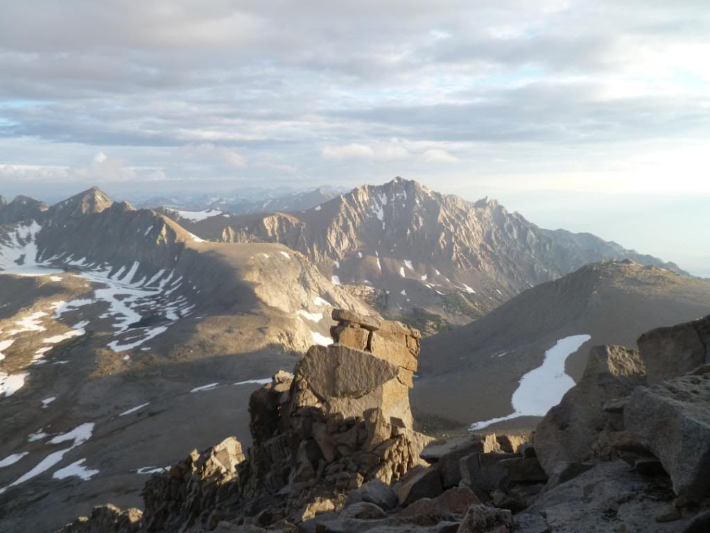
The first big saddle on the way in with a view of Williamson
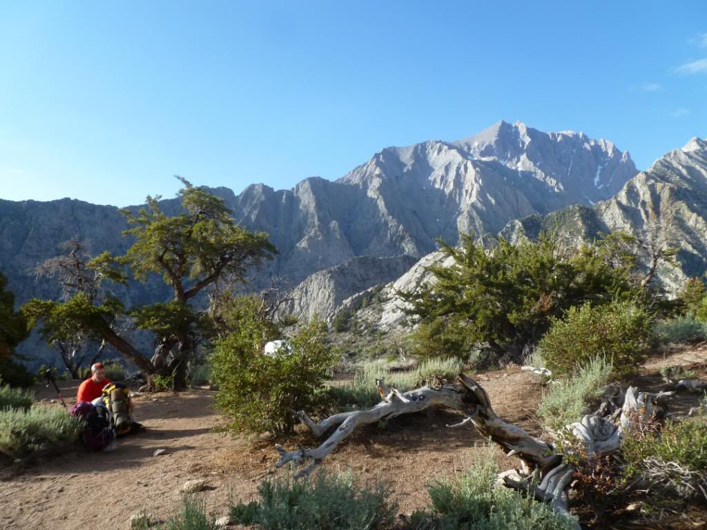
The views in this saddle were quite nice
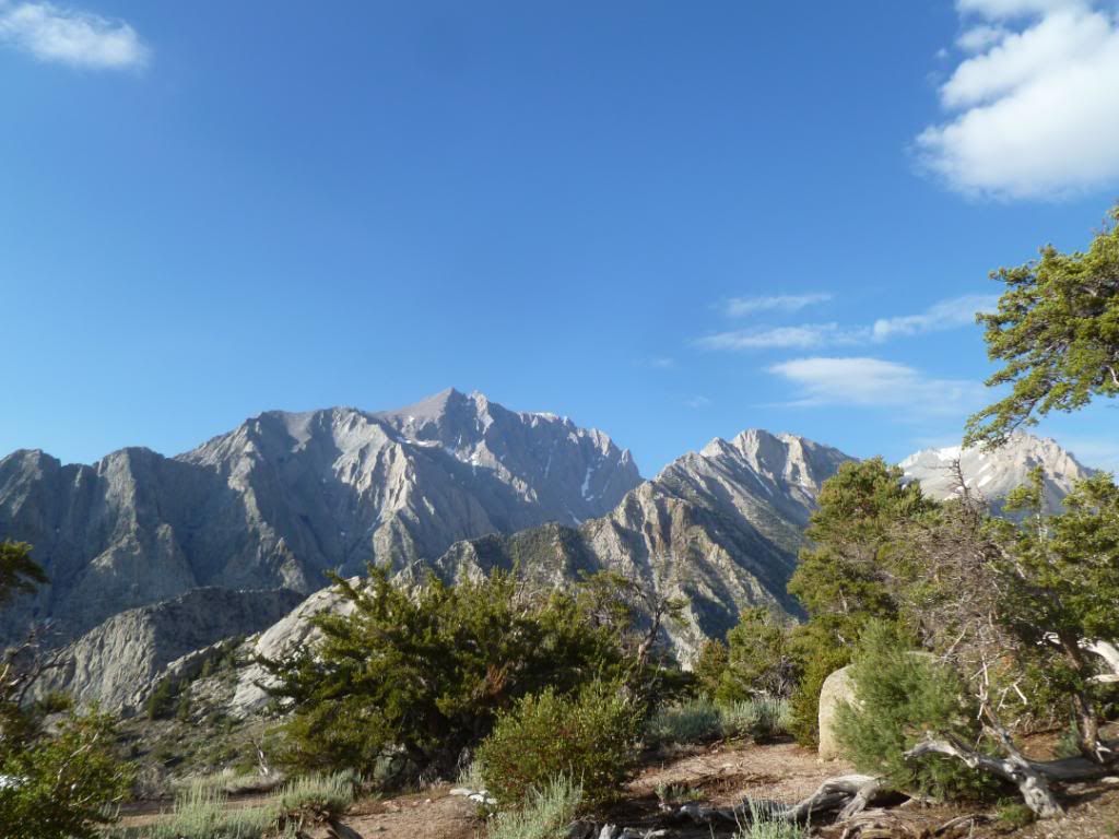
Tyndal is in the middle of the back of those front to sub peaks just barely visible
The camp host at Anvil Camp, the only year round resident
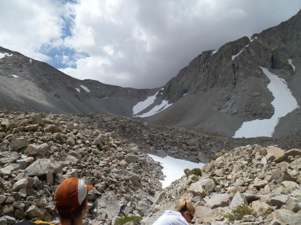
The "Pothole" located below Sheppard's Pass, we camped above the tents in this picture on the left
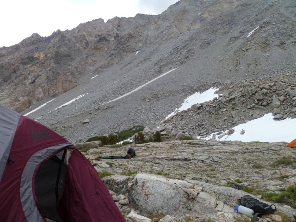
Scouting our route for Sunday morning before we set up camp
Setting up camp fast before the rains come in quick
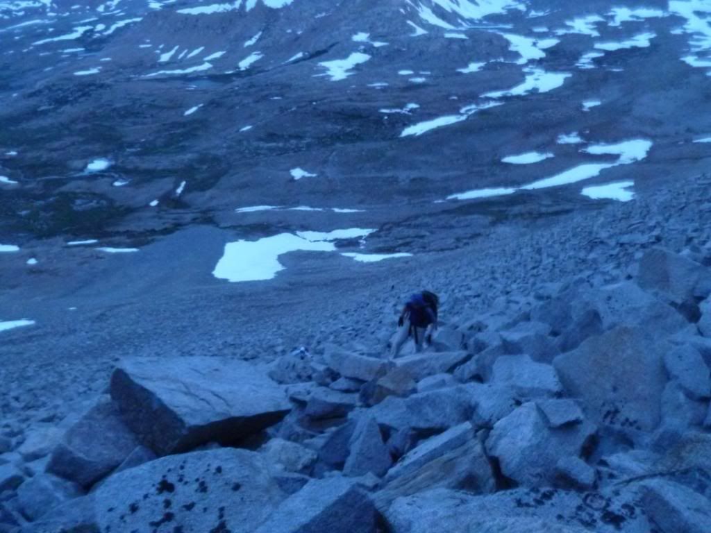
One third the way up the west rib of Tyndal before the sun comes up
Just below the "U-notch" on the west end just below the false summit, looking south to Mount Keith
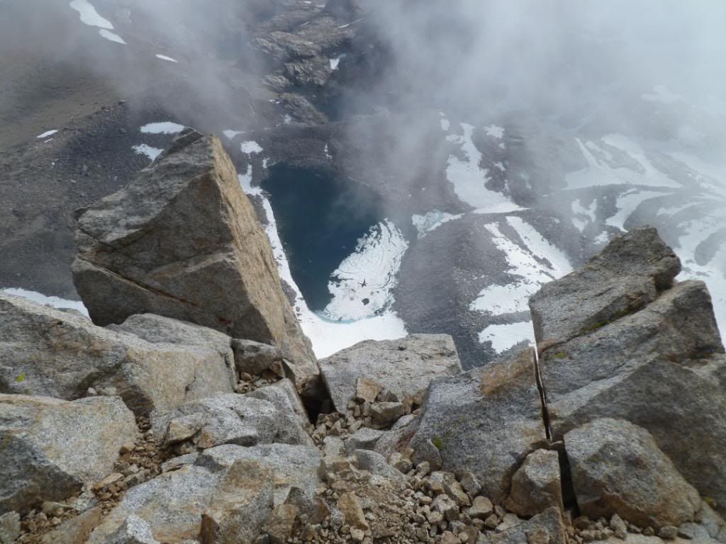
On the actual summit looking down to Lake WL3713 in the Williamson Bowl
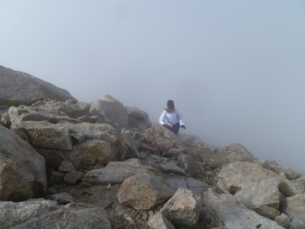
Tina on the last ten steps below the summit, the pea soup is starting to come in
The Tyndal Summit Block over Tina's shoulder with Williamson behind my fat head
Great time with great friends