We pulled into the parking lot at Southfork trail head and Bob Burd, John ? and Moose Tracks (Laura M) pulled in two minutes later with one other hiker that I did not get his name. After introductions we were on our way. The plan was to hit Grinnell, then 10,000 foot ridge, then Lake Peak, then Zahniser, then San Bernadino, the Big Horn, Dragon’s head, then Dobbs and see how we felt from there.
We parted company with the other hikers at South Fork, they would doing their own version of something like what we were doing only they were going up the Dollar Lake way and going in the opposite direction.
We stopped at Lodgepole Spring and topped off water, passing campers all over the east end of Dry Lake before heading up to Fish Creek Saddle, once there we choose to go down the Fish Creek trail and use the canyon that is a quarter mile down that trail where it makes it’s first big swing to the north east instead of the usual shot straight up the ridge line from the other saddle as it’s more direct to the summit with less up’s and downs.
From there we dropped back down to the saddle cut to the south east and picked up the ridgeline heading directly east along the 10,000 Foot Ridge, half way between Lake and the highest point on the 10,000 foot ridge we stashed our gear since we were coming directly back that way to bag Lake Peak. Only problem was all that area looks the same and it took us an extra 20 minutes to find our gear, but soon enough we grabbed it and headed over to Lake Peak. By now it’s 11 AM and the temperature was not excessive but once we dropped into Mine Shaft Saddle it was just approaching noon and it was getting warmer in the sun, we ran across the aforementioned hikers and took another short break.
We were starting to feel the drain from the heat but Yeti wanted to keep going so I was all in. At about 10,500 feet going up towards the sky high trail I started getting stomach cramps that were getting worse by the minute. At 10,800 I was doubled over and ready to throw up and decided it wasn’t worth the risk to keep going – mind you I had no other problems, I had been hydrating, eating a little food here and there, I had wet cool bandanas under my hat, no headache what-so-ever, and this happened to me in the Sequoia National Park last year when it was hot as well. I get this kind of stomach lock where my body will not digest the food I’ve eaten and taking on more water makes me nauseous. After ten minutes I felt good enough while Yeti continued to the summit.
Sitting at Mindshaft Saddle I rested for about an hour before Yeti came down the north ridge and we high tailed it back to the car. Sitting there waiting for us in the parking lot were Laura, Bob and John, they offered us cheese, crackers and a beer, Yeti opted for all three while I passed still not 100% but I did eat a banana hoping that the potassium would help. Yeti made me a “protein shake” which I sipped on the way home.
One other note, we ran across Elwood or was it his evil twin “Jake” I’m confused which one hikes and which one does the write ups
Anyways it was a great day regardless of how a felt at 10,800 feet.
Here’s the numbers
Yeti, 25.70 miles, 5,865 feet gained and descend over 13.6 hours – Grinnel Peak 10,284,
Ten Thousand Foot ridge highest Peak 10,094, Lake Peak 10,161, San Gorgonio 11,505.
Lilbitmo/Patrick 23.70 miles, 5,160 up and down, Grinnel, Ten Thousand Foot ridge highest Peak 10,094, Lake Peak 10,161, and ¾ of San G.
I now qualify for 3 peaks on the HPS and one on the NHPS all on the same day
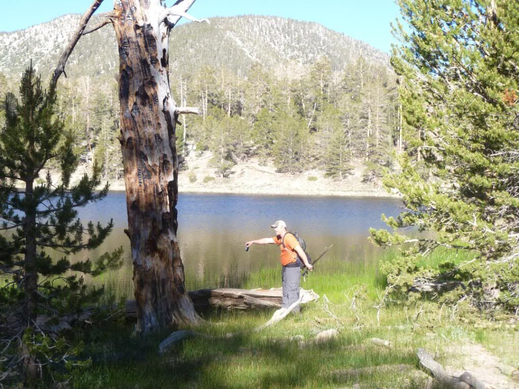
There was mention by other hikers of seeing Sasquash or Yeti but I'm the one who got him on film
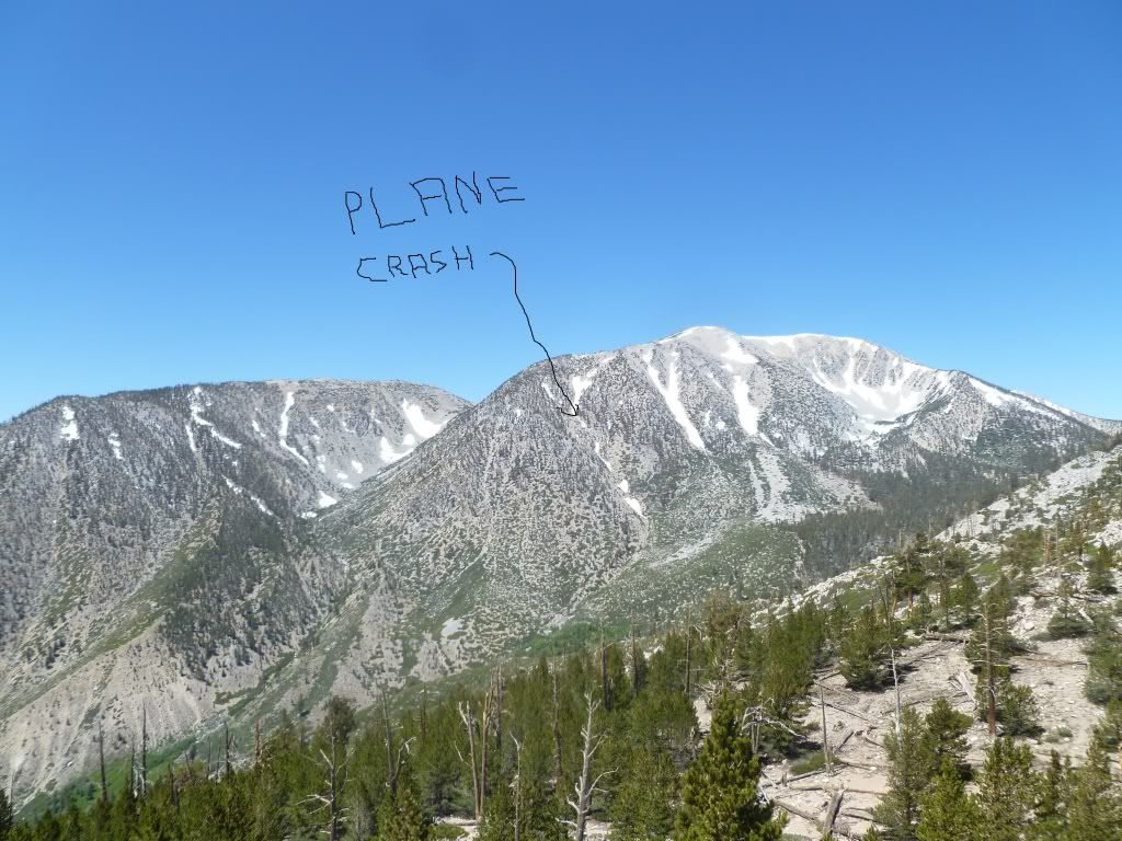
Here's what's left of the snow on the north side of San G, including the Big Horn Ridge
Rest of pictures here