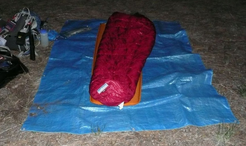
Good thing I had reservations at the San Gorgonio "Hilton."
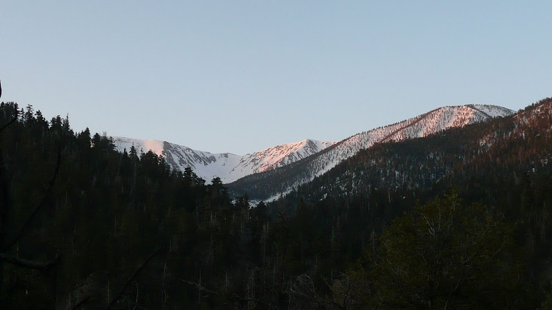
Just before dawn the following day.
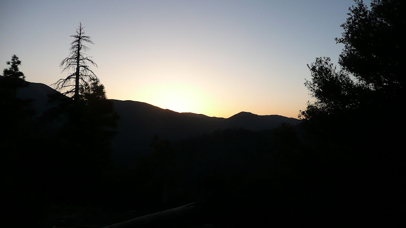
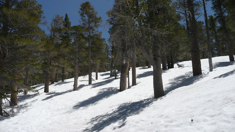
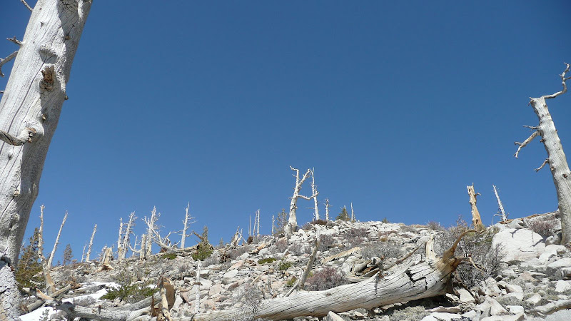
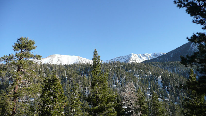
First light of dawn on the high country.
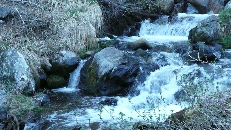
South Fork of the Santa Ana River.
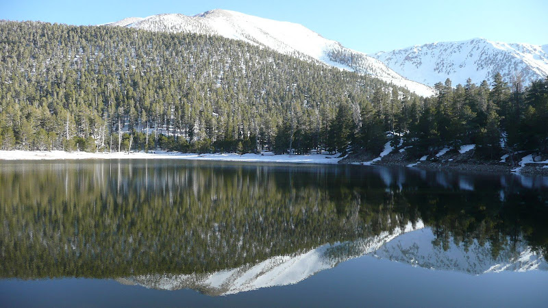
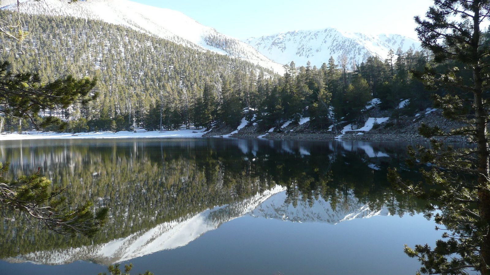
Dry Lake, first look.
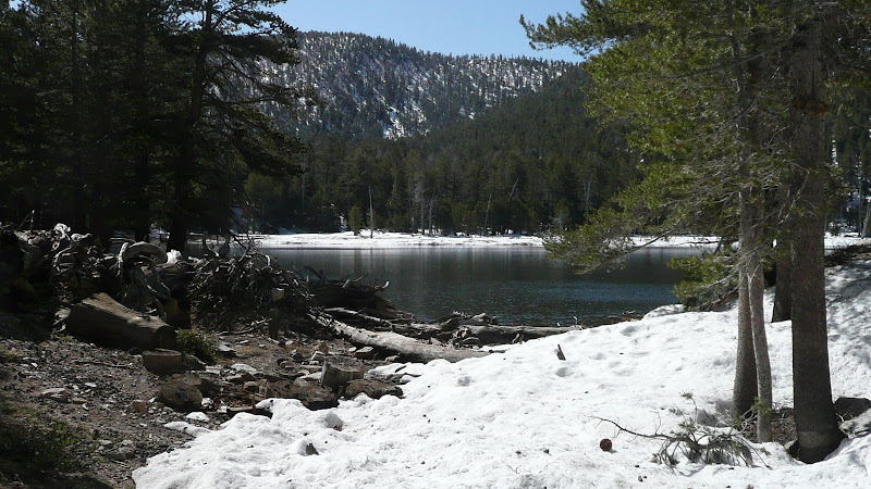
Dry Lake.
Ascending the flanks of Lake Peak.
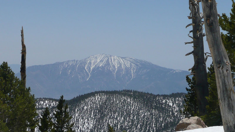
The view from the east ridge of Lake Peak. That's San Jacinto Peak.
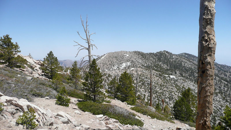
My objective, the high point of Ten Thousand Foot Ridge.
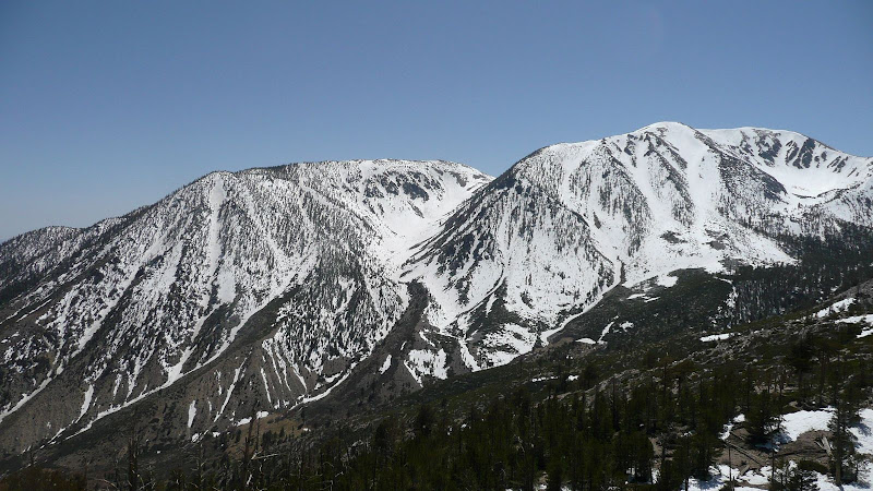
Bighorn Mountain, left, and San Gorgonio Mountain, right, both over 11,000 feet (3350m) in elevation, the number three and number one, respectively, highest peaks in Southern California. Note glacial moraines.
Approaching the high point of Ten Thousand Foot Ridge.
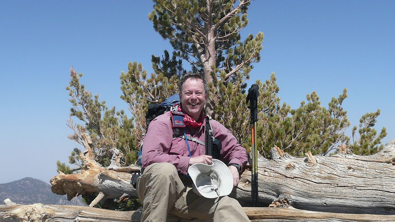
On the summit of Ten Thousand Foot Ridge.
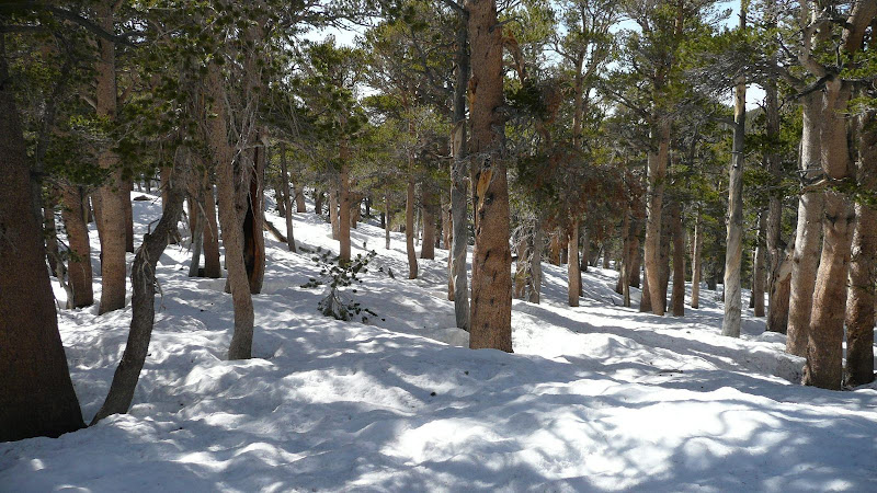
Descending.
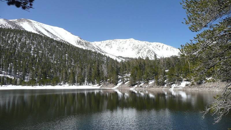
Back at Dry Lake.
Whoever said that Southern California doesn't have any decent scenery needs to get out more often! (click to view high res)
Bidding the high country farewell.
All in all, a very fine day of real hiking, of getting off into the back country. The summit register recorded only one other visit besides my own since the previous fall. The high point of Ten Thousand Foot Ridge is remote country indeed. I saw not one person all day, and this in an area home to some 15,000,000 people.
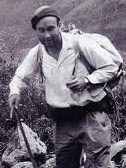
HJ