Somehow, the cameras I place in "easy to reach" places turn into complicated extraction missions pretty often. In this case, the Cougarcam was a mile south of Islip Saddle. No big whoop, just drive up, take a little stroll, and see some bears, right?
Wrong:
Winter always gives a big FU to Angeles Crest. This time, half a lane is gone just east of Cedar Springs - three miles from Islip Saddle.
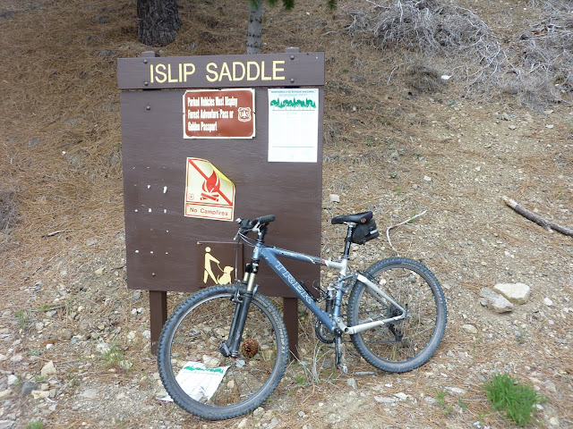
Sooooo....not expecting this little obstacle to be repaired any time soon, the best option was to ride bikes to Islip Saddle, and hike from there. Which was actually a whole lot of fun. My intrepid friends and explorers, Bernd and Norma helped me out. (Thanks again!)
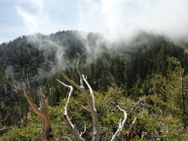
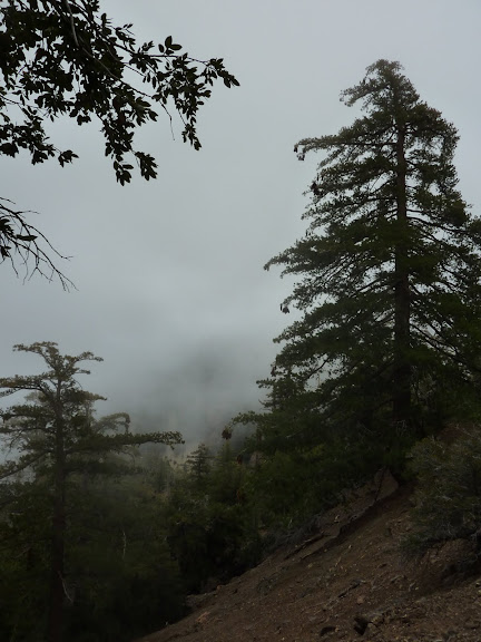
It was super cold, and foggy. The mist coming up the slopes was great, and having the whole road to yourself is pretty fantastic too.
Once on the northern slope, the sun appeared.
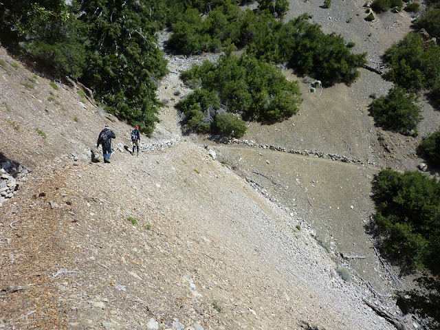
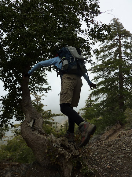
Norma starts the off-trail scramble down to the camera.
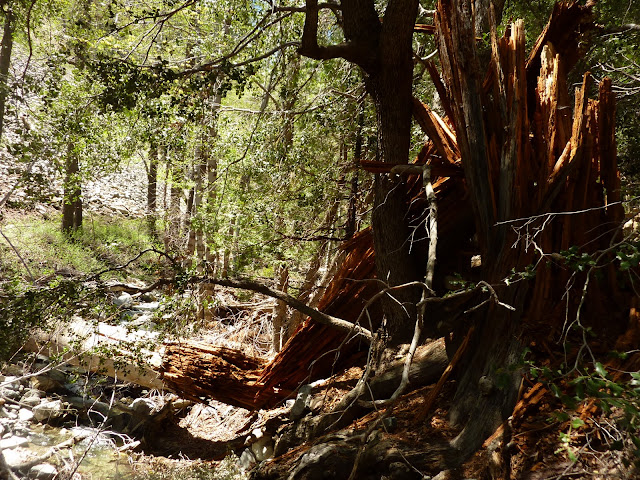
This little streambed apparently got avalanched pretty good this winter. It was "plowed" with fresh rocks.
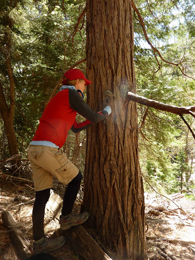
For this set up, I tried using the "FurFinder", an electronic device that makes animal squeak noises at night. HikeUp did a great job securing this to the tree. Though pummeled a bit by the bear, it remained secure, and still works!
It was so nice down there, we decided to explore downstream a bit. It was easy to walk along the beautiful clear stream, and nice camping spots abound.
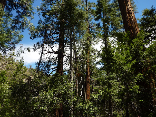
There are many huge, ancient trees here. We liked this fire-hollowed Cedar.
But got ants on our pants when we tried to stand inside.
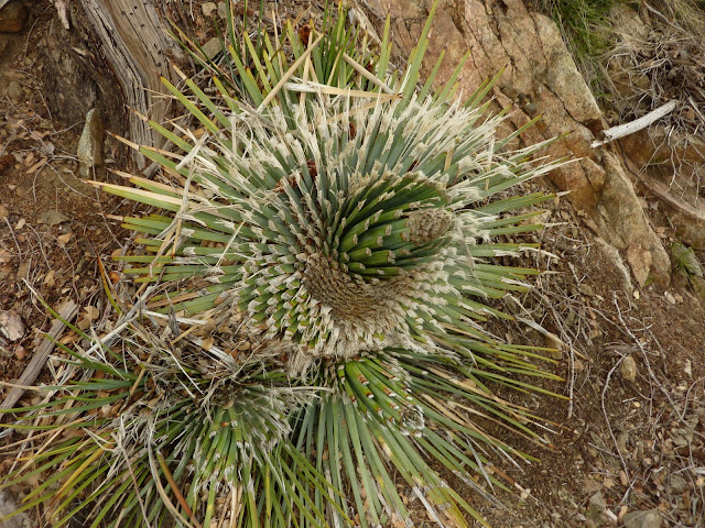
I found only one remaining patch of this cold, white fungus that seems to grow only in winter. It was frightening, but luckily it will be gone soon!
On the way back, I wanted to put a camera between the tunnels, where people have seen bighorn sheep, but it was too freaking cold and we were all ready to get back to the car. Next time...
All pics here: http://s484.photobucket.com/albums/rr20 ... =slideshow
Islip Saddle/South Fork trail hike 'n bike 05/08/11
- cougarmagic
- Posts: 1409
- Joined: Wed May 07, 2008 5:21 pm
This does block your access to Baden-Powell. The only way to get there now is from the Wrightwood side. (up I-15, then over to Wrightwood via 138 or Lone Pine Highway, then up to Vincent Gap from there)
my pix are a bit late, but "worth the wait?" i had fun on this casual day out with Johanna and Bernd. we enjoyed the solitude of a deserted ACH and the remoteness of the creek drainage we explored. it was also nice to get on my old bike once again. a few of my pics from the day:
Johanna in the tunnel
My steed
Wispy
Johanna and Bernd on the South Fork Trail
Loving her new soft-shell NF jacket purchased at the REI used gear sale
Taking care of business
Among giants
Hiker Giganteum!
Big-leaf Maple in bloom
Casualty of nature's wrath
Since when do beavers like Yucca's?
Clouds roll in
Cougarmagic
Fun day!! (Though our hands are now numb. Let's load these bikes and go!)
rest of my pix are here:
https://picasaweb.google.com/ryan.norma ... Sunday5811#
Patrick we came in from the west. the road is open beyond Red Box. the locked gate was 3 miles west of Islip Saddle. so it was a short little ride.
Taco, you bet! i just need to replace my back brake before i go riding again. it is all gone.