Added verbiage 5/5/2011:
Jake parked the jeep at the ostensibly open Red Box Day Use Area around 0615 this past Saturday. His goal was to see how far along Rincon-Red Box Road (2N24) he could get and make it back to the car before sunset. He also wanted to assess the condition of the Gabrielino trail between Red Box and Devore. There is alot of dead and burned plant life along the trail, as well as a lot of seemingly healthy flora. The trail could definitely use some cleanup, which Jake didn't have time to start on Saturday. He trod 11W14, then down the spur trail into Valley Forge C.G. After crossing the bridge at the east end of the campground, in typical Jake fashion, he spaced the need to return up the spur to Gabrielino and hiked the streambed wondering why he couldn't find the friggin' trail! Following a handful of crossings and brush-bashing, he'd had enough, and scrambled up to 2N24.1 and stayed on it for the rest of the day. The stretch of this mostly dirt road past Valley Forge, through West Fork is really beautiful, with concrete river crossings at several locations. Jake reminded me that the concrete under the vigorously flowing stream is very slippery, and it's easy to lose one's footing if not careful. West Fork Campground is in beautiful shape and the (mostly) forested walk from there up to Newcomb Saddle offered Jake some beautiful views up the west fork. Continuing east towards Cogswell, the road alternates between being fully exposed to the sky and adjacent power lines, and sheltered by dense forest, and poison oak as far as the eye could see. On the return trip, Jake noted that water was flowing in at least 80% of the countless drainages along 2N24. As he neared Red Box, he was surprised to see Air 5 crest Mount Disappointment. Good thing he wasn't mistaken for the afternoon's manhunt target.
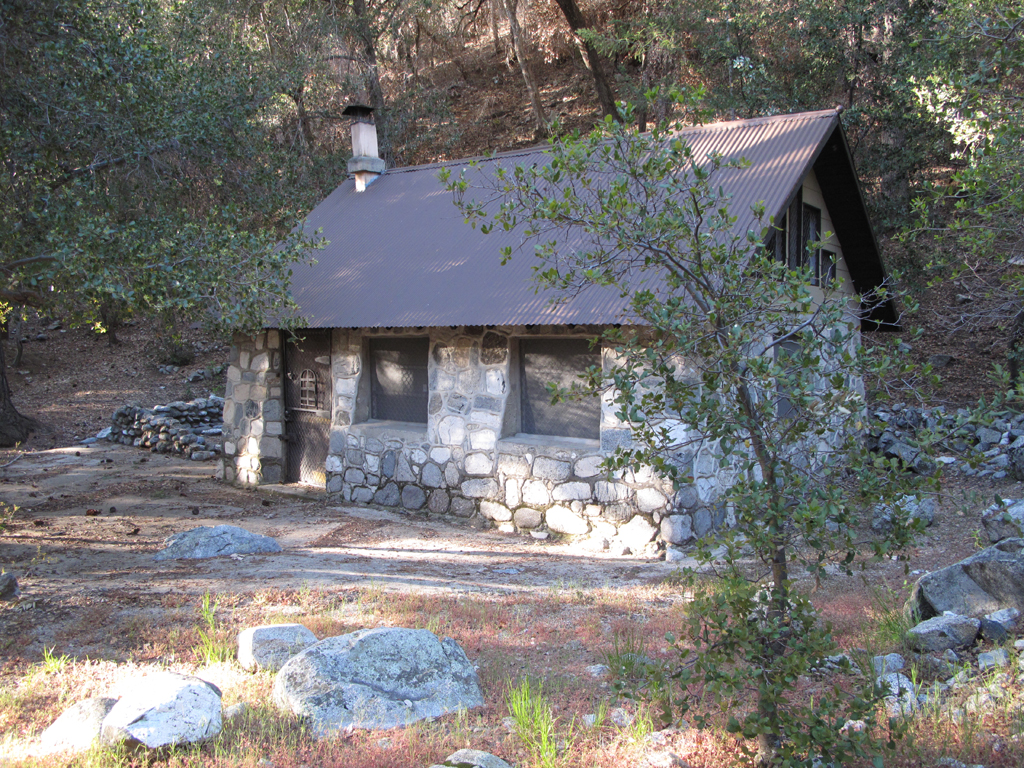
One of many beautiful cabins at the bottom of Cedar Canyon.
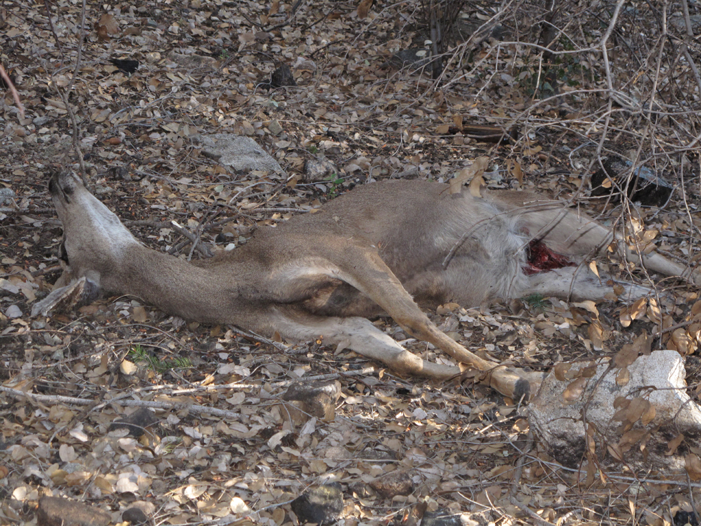
Jake assumes this to be the recent handiwork of Felis concolor. Note the partially devoured hindquarters.
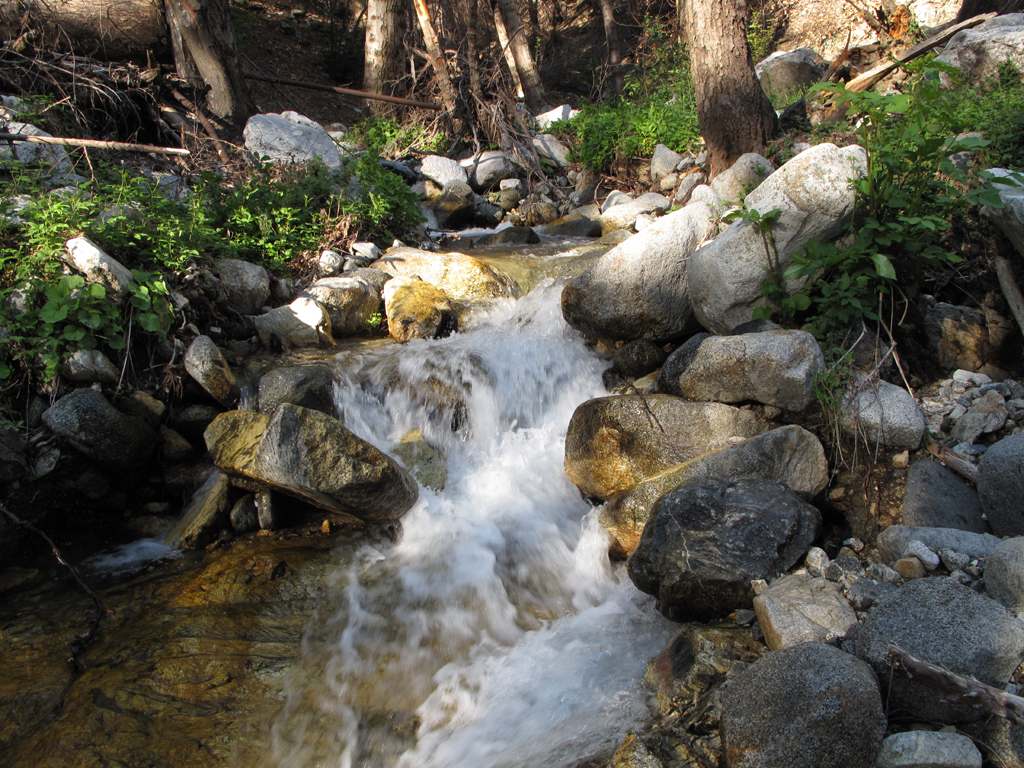
West Fork was flowing vigorously.
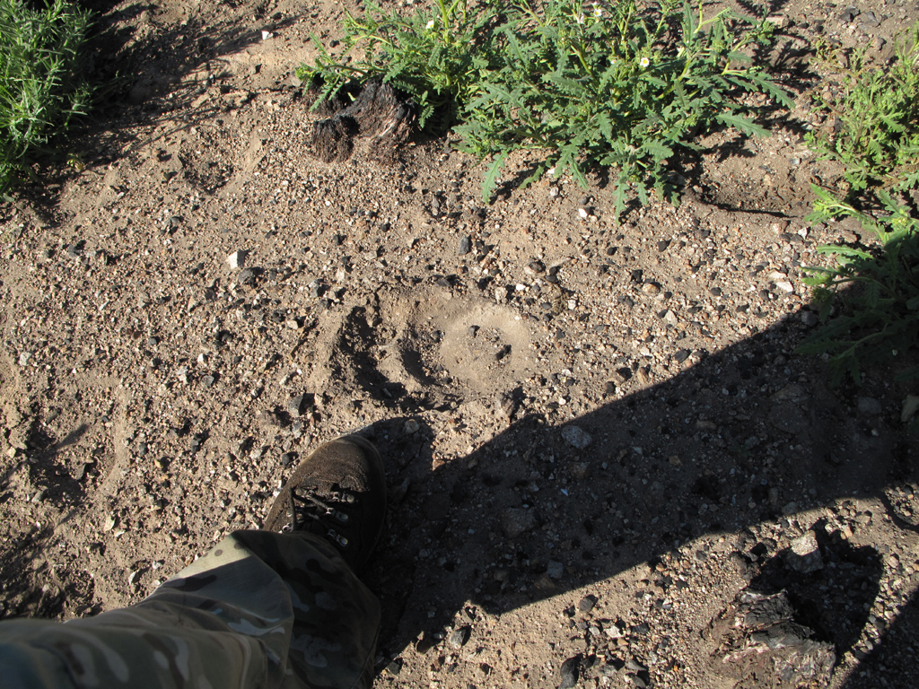
One of many Ursus Americanus tracks spotted throughout Jake's day.
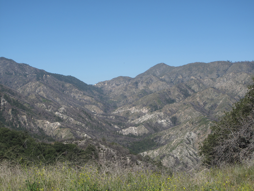
On a burned hillside above Valley Forge campground.
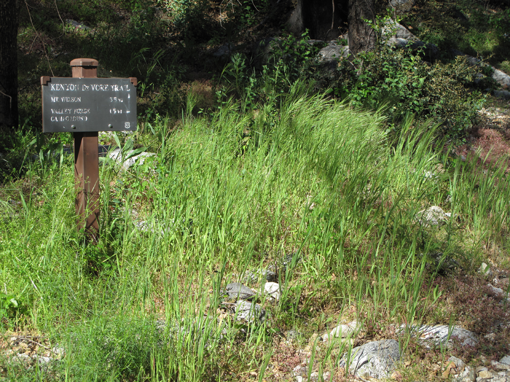
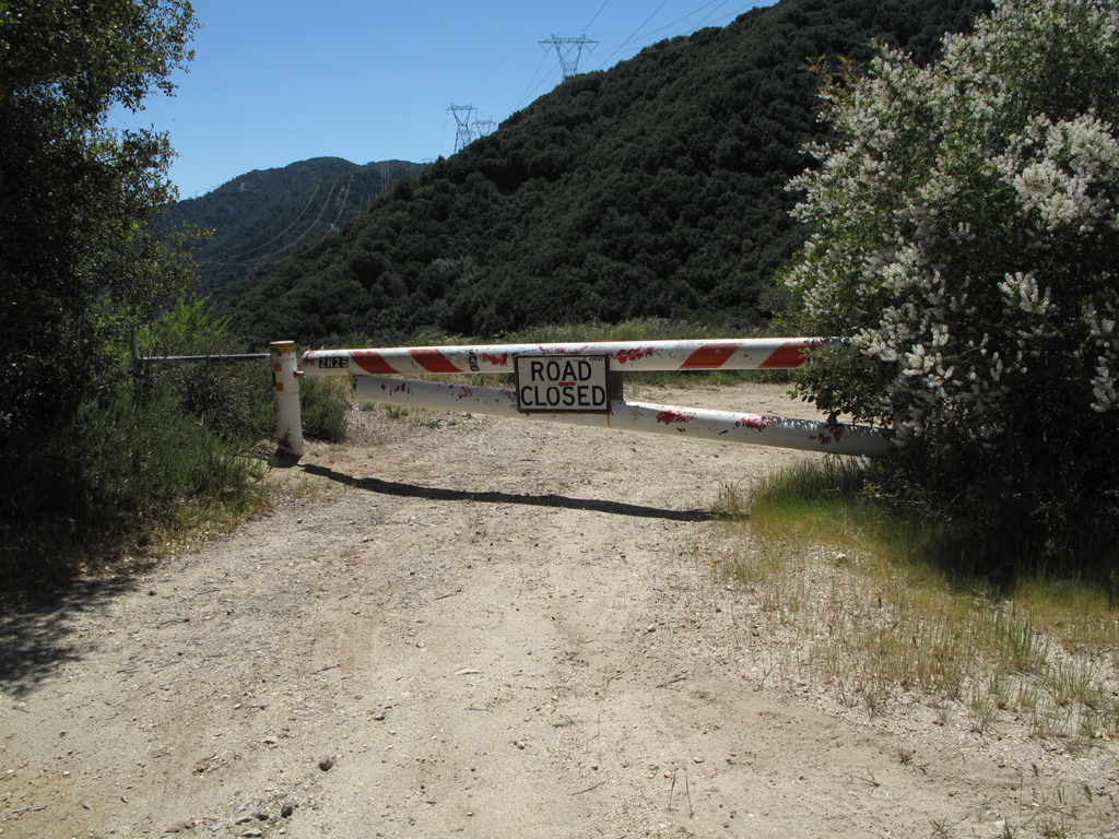
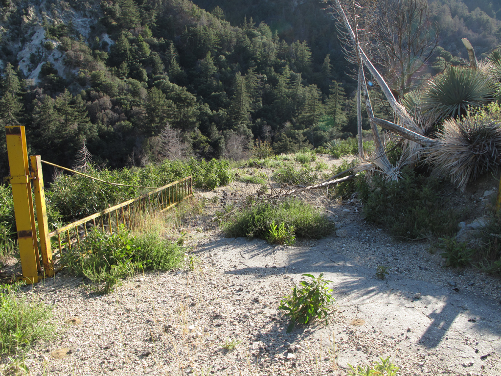
Though he didn't try very hard, Jake couldn't find the actual connector trail here along 2N24.1.
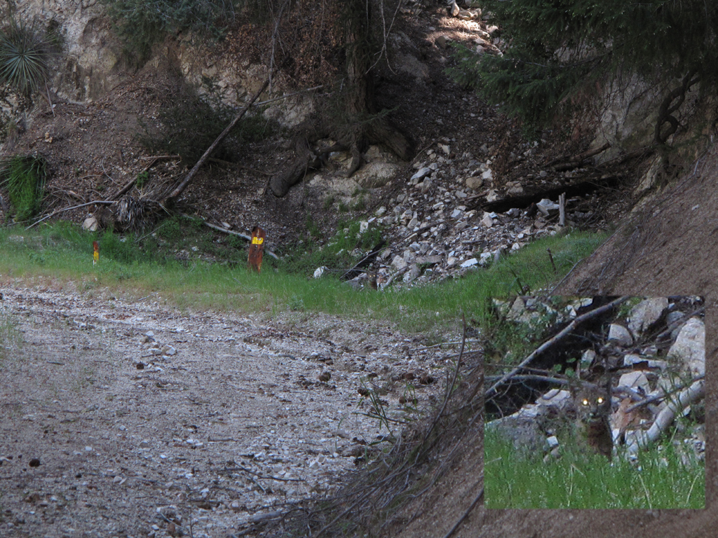
Jake (and I) love running into these Lynx Rufus in the wild: picture center and inset.
Picture shows how badly this side of San Gabriel Peak burned in 2009.
Another Station Fire casualty, Barley Flat.
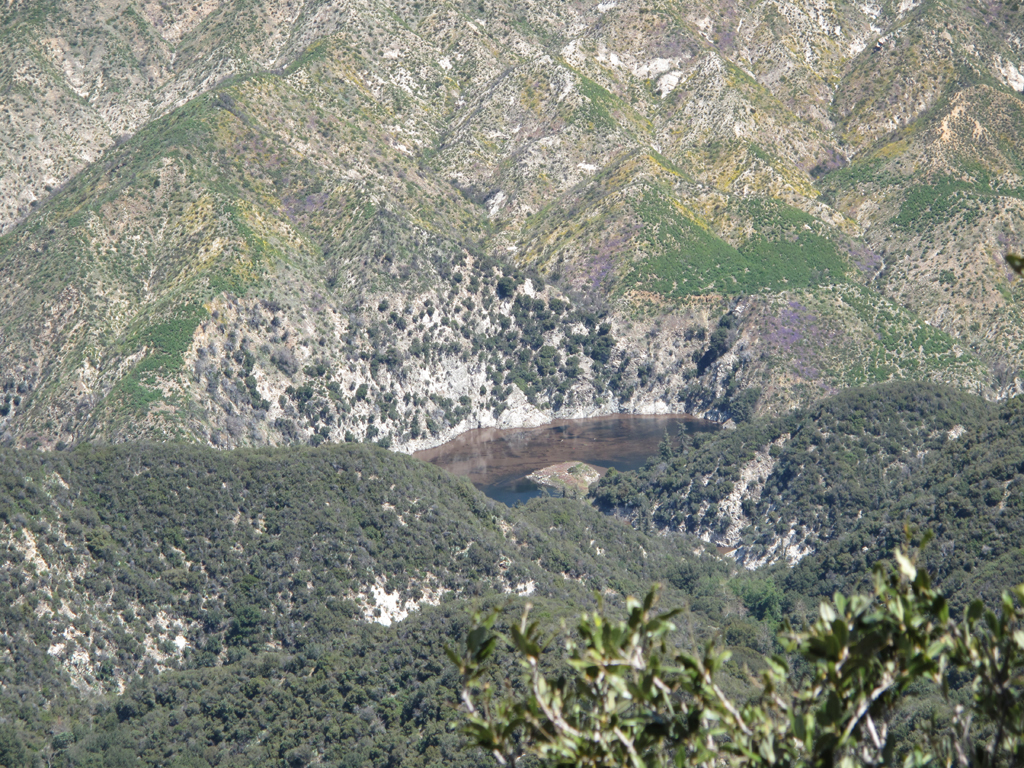
Moderately clear view of the West Fork from above Devore back to Red Box. The streambed is in pretty good shape though.
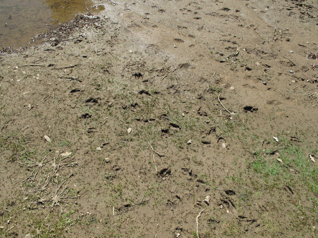
Lots of deer and bear tracks around this watering hole adjacent to Newcomb Saddle.
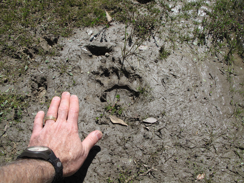
Ursus Americanus print at the watering hole.
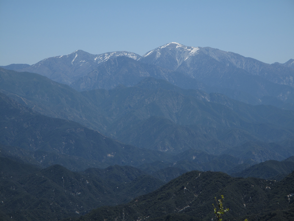
Iron, Pine, Dawson & Baldy.
Route down to Cogswell from Rincon Red Box Road.
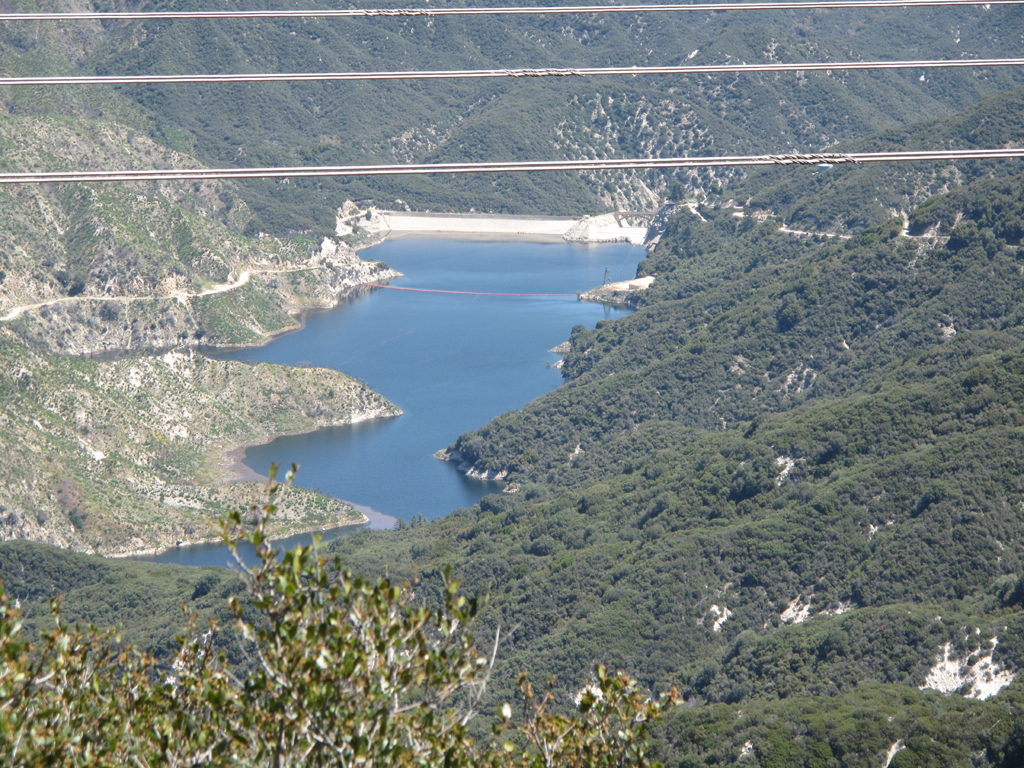
Delightfully full Cogswell Reservoir.
Debris bearing western end of the reservoir.
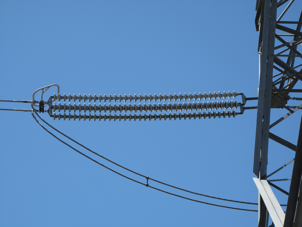
Double 37 unit insulator strings on this high voltage transmission line from Acton to Irwindale (or vice versa).
Road to Clamshell Peak and beyond.
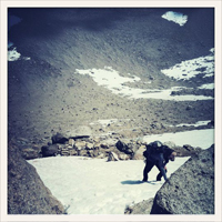
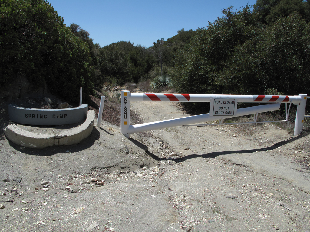
Jake was a little miffed at the notion of having to hike an additional 24 miles to do the full Red Box - Rincon round trip. He turned back around here somewhere.
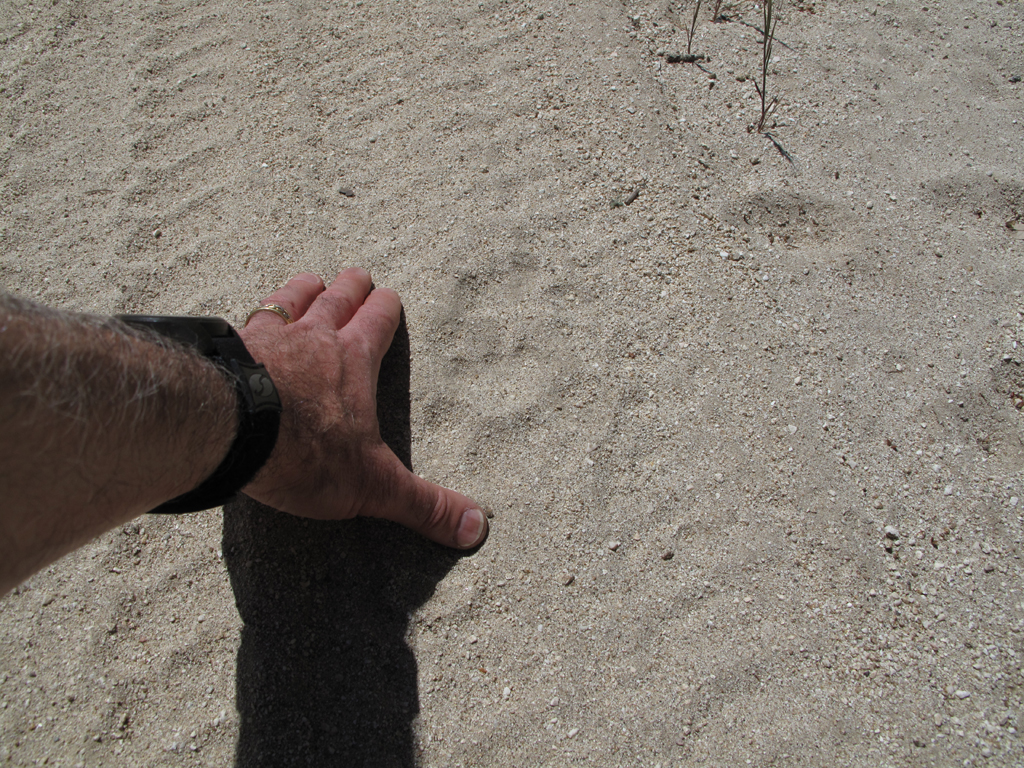
The only actual cat track spotted all day.
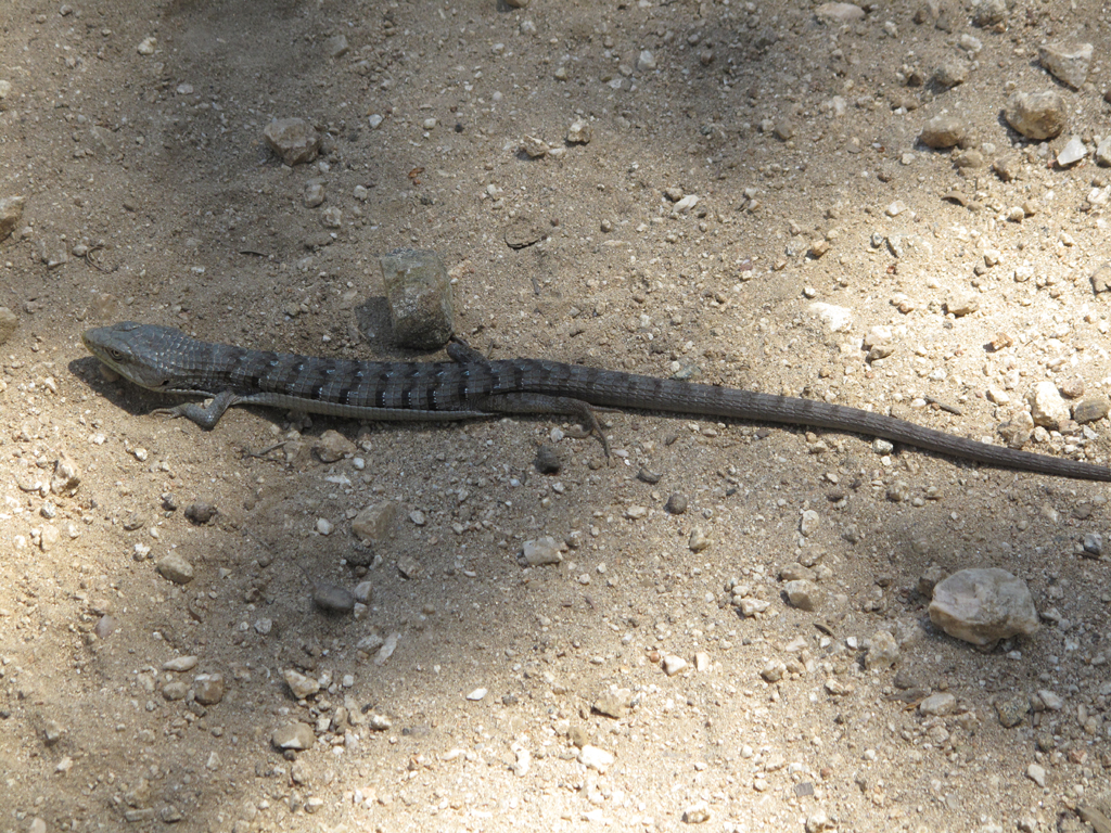
One of two Elgaria Multicarinata spotted.
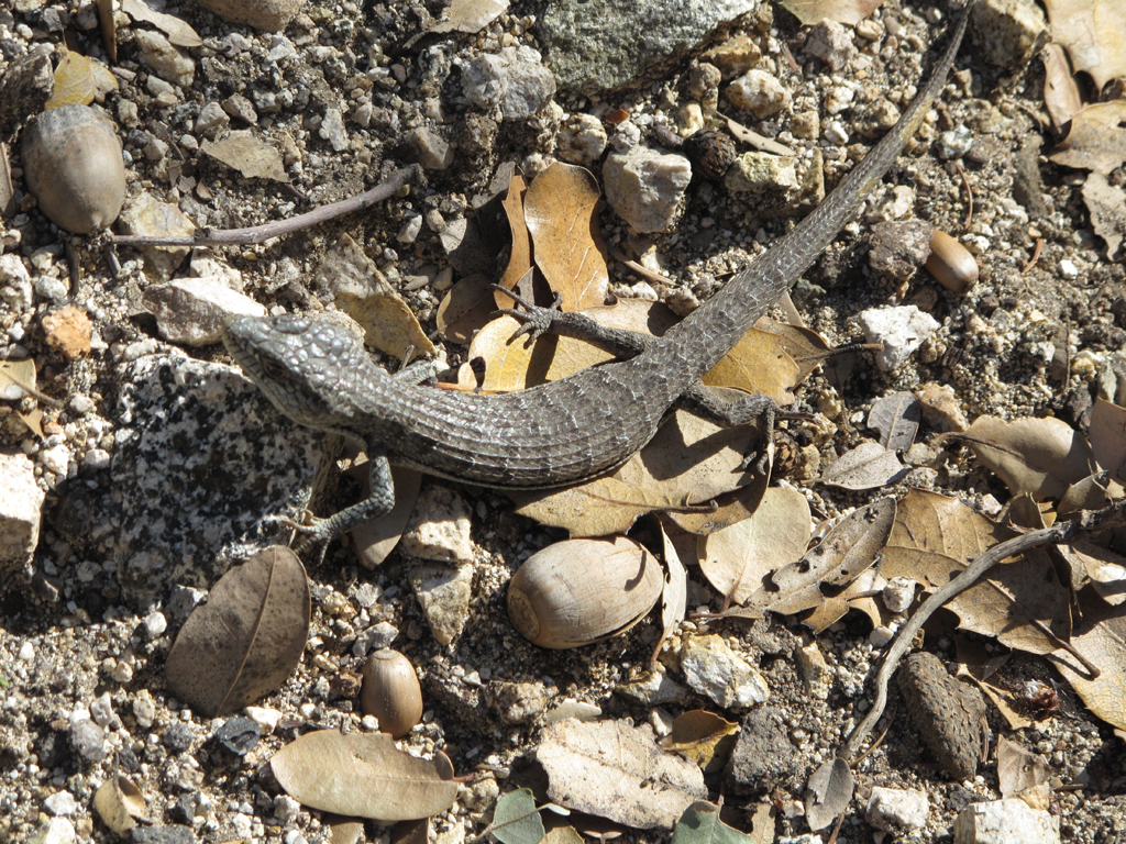
The other Alligator Lizard.
Old unnumbered spur from 2N24.1 down to the cabins at Cedar Canyon.
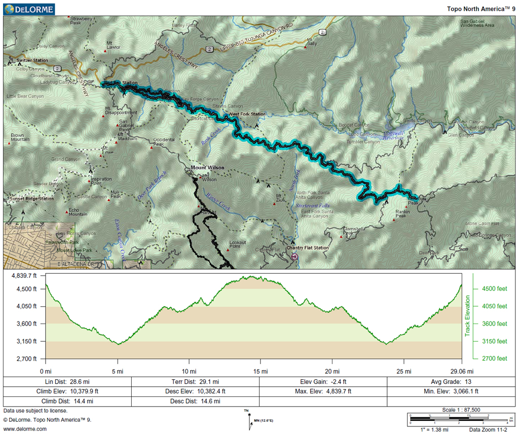
Jake's GPS track and elevation plot.