I knew going in that the Islip Ridge Trail (Wawona on Tom Harrison Maps) had not been maintained for quite some time, so I was expecting quite a bit of route-finding and I was right.
We didn't quite know where the trailhead was, but Islip Ridge is easy enough to find so we scrambled up from the southwestern part of the lake and found it. The trail was surprisingly well kept for the first mile and a half or so (turns out the SGM Trailbuilders had recently been up there), but after that all bets were off. Deadfall galore, and probably about 2 and a half miles in the trail completely disappeared.
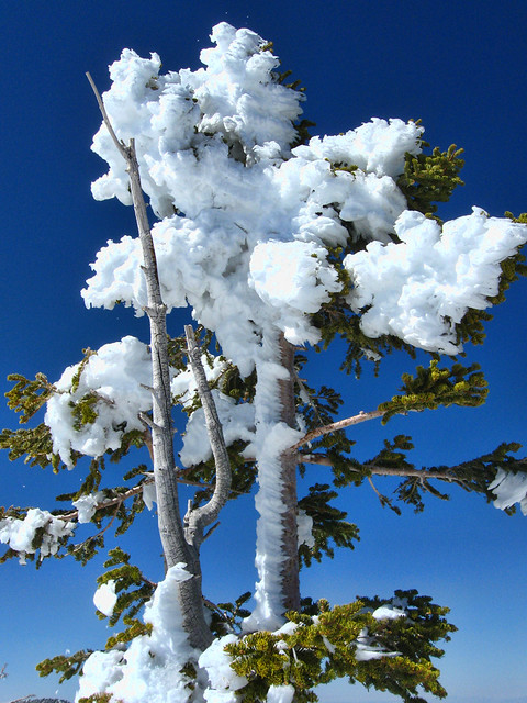
Lots of fun backcountry guessing, the trail eventually reappeared shortly before the junction leading up to the summit. The snow in the trees was incredible, huge chunks falling and it was fun to dodge. Good coverage on the summit, could have stayed up there for hours.
We then headed down towards Windy Gap, and the regular trail swings through the Little Jimmy area. Being on the north side, the snow was tough to negotiate, slushy, deep, and we could barely gain a foothold. We ditched that plan and scrambled back up, taking the ridge directly down to Windy Gap. It was steep, but not at all difficult. Once at Windy Gap, the trail down to the campground was easy to follow, despite an incredible amount of downed trees and rockslides making is slightly precarious.
All in all, and incredibly fun day, and sadly, probably the last of the winter for me.
(Some photos below. Note that the Hawkins ridge was covered in snow when we started, and almost completely melted when we left)
The rest here:
http://www.flickr.com/photos/wattifoto/ ... 481164556/
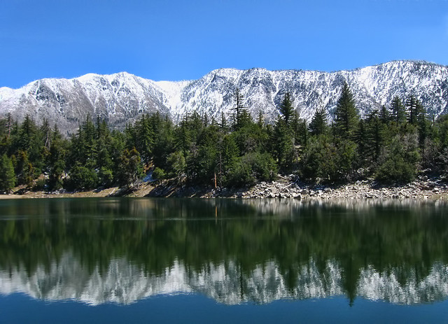
Crystal Lake by Wattifoto, on Flickr
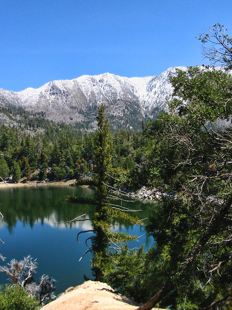
Crystal Lake in Spring 2011 by Wattifoto, on Flickr
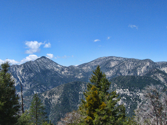
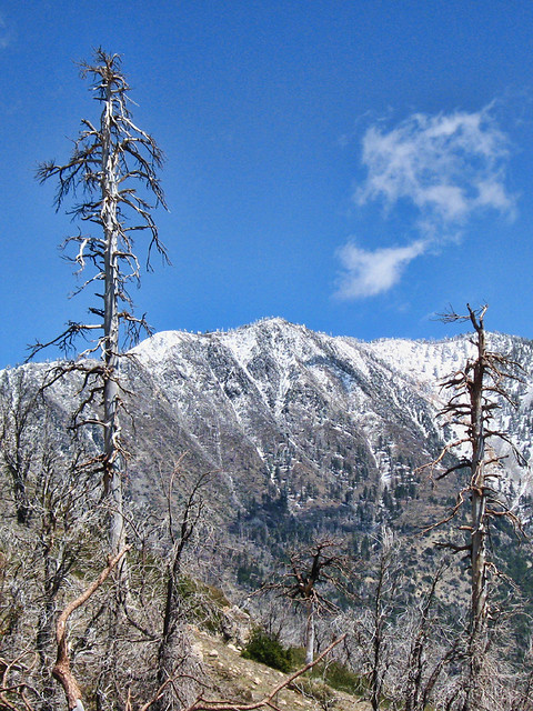
Twin Peaks East and Mt Waterman by Wattifoto, on Flickr
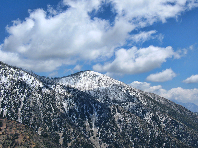
South Mt Hawkins by Wattifoto, on Flickr
Mt Islip by Wattifoto, on Flickr
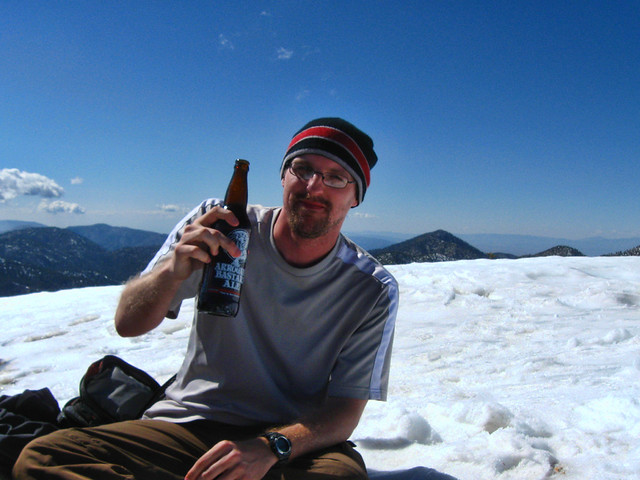
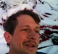
Cheers from Islip by Wattifoto, on Flickr
Clinging by Wattifoto, on Flickr
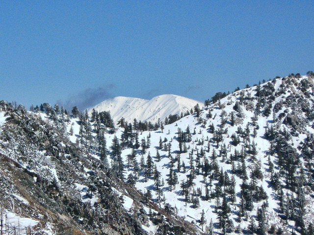
Mt Baldy from Mt Islip by Wattifoto, on Flickr
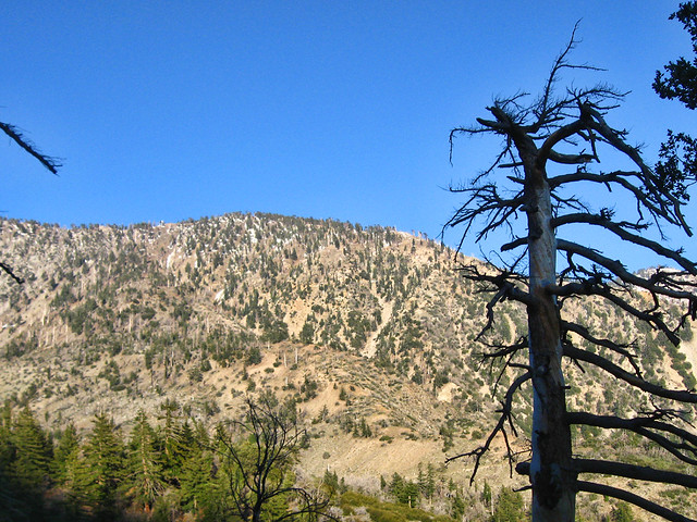
Snow has Melted by Wattifoto, on Flickr