Smith Mountain (5111'/1558m)
Posted: Mon Apr 11, 2011 8:40 am
A buddy and I decided to tackle Smith Mountain on the edge of the San Gabriel Wilderness off of Highway 39 on Saturday.
We hit the trailhead shortly before first light. Overnight, the mountains had gotten a light dusting of snow.
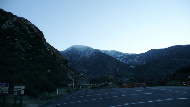
South Mount Hawkins
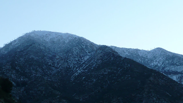
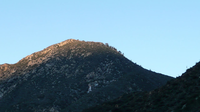
The first light of dawn illumines the upper slopes of Smith Mountain (5111'/1558m).
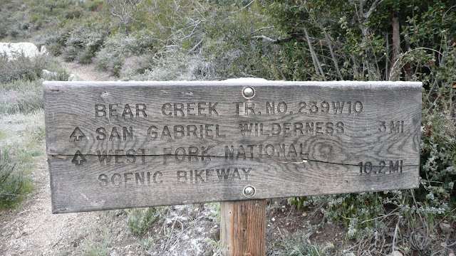
The trailhead sign. Note snow on top of sign. Our first destination is Smith Saddle (4300'/1310m) which marks the eastern boundary of the San Gabriel Wilderness.
The north face of Smith Mountain. This is the standard approach.
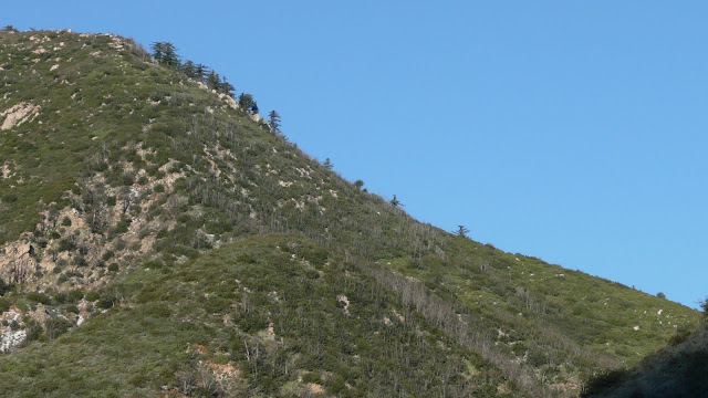
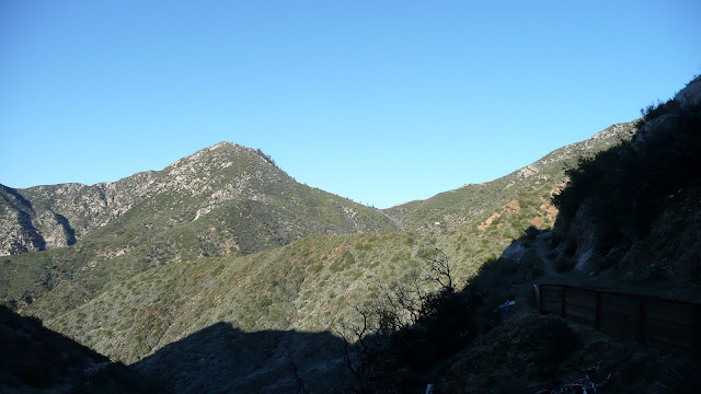
As we ascend, Smith Saddle comes into view.
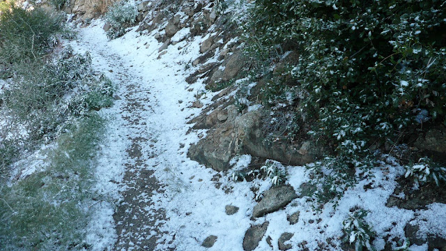
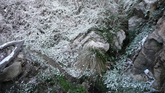
The higher we go, the more snow we encounter, although we never encountered anything more than half an inch.
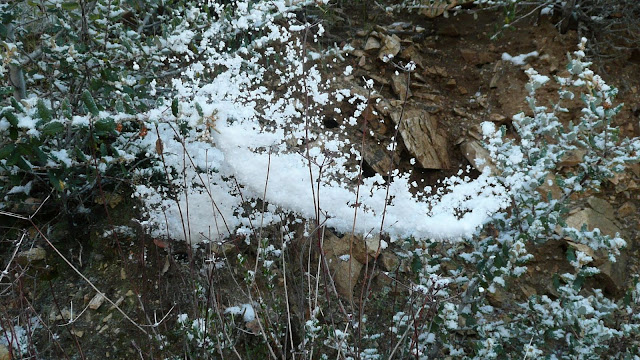
Here, a spider's web captures some snow.
Surprisingly, we crossed not one but four flowing streams. Normally, all of the streams would not be running. In fact, in most years, I seem to recall that none of the streams were running.
The first stream crossing.
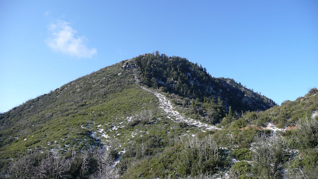
Approaching Smith Saddle. Note how snow highlights the firebreak that leads to Smith Mountain.
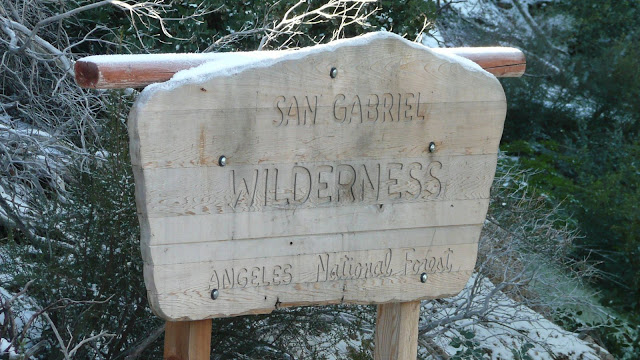
Wilderness boundary sign at Smith Saddle.
Having gained the saddle, it's now time to depart the trail and head essentially cross country up to Smith Mountain. The route follows a fire break. There's a use trail of sorts up the fire break.
At the spot where the vegetation to the left of the fire break changes from light green to dark is the start of the "crux" of the route.
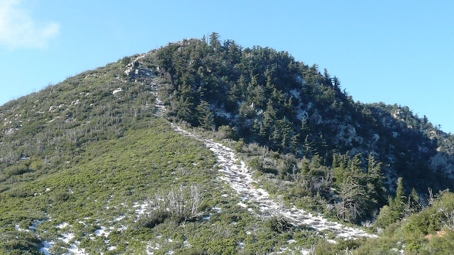
I put the word "crux" in quotes, since this really isn't a difficult route. There are a couple of very short sections of class three. However, my friend, Will, had injured his hand playing basketball. He elected not to try to go up over the rocky section with only one good hand. The conditions were a bit less than fully optimal having about a half inch of snow on the route. Probably a good call on his part.
Some views on the ascent:
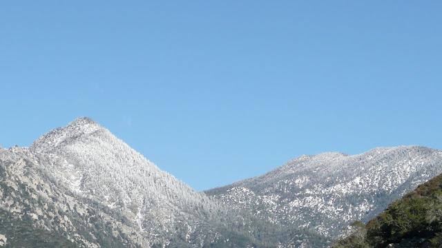
East Twin Peak and Mount Waterman.
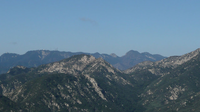
L to R: Mount Harvard (extreme left), Mount Wilson (with observatory dome and antennae), Occidental Peak (pyramidal), Mount Markham (flat-topped), San Gabriel Peak (highest in view), Mount Disappointment, Mount Deception (HPS name).
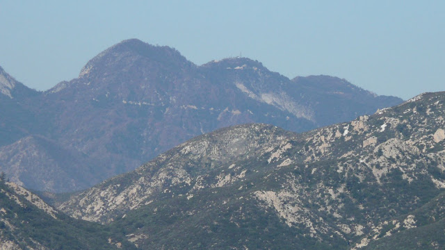
L to R: San Gabriel Peak, Mount Disappointment (antenna), and Mount Deception (HPS name).
Random summit on ridge leading down from Twin Peak.
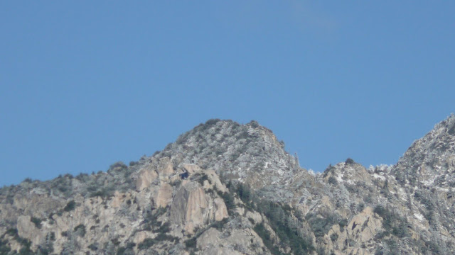
E Twin and south ridge.
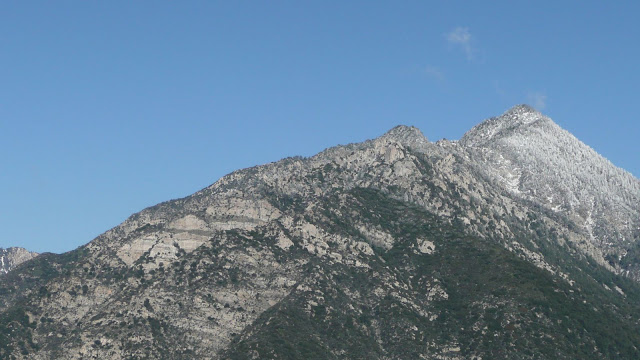
L to R: E Twin, Mount Waterman, Kratka Ridge.
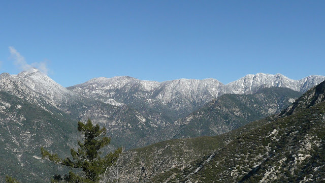
Looking back down at Smith Saddle from above the crux.
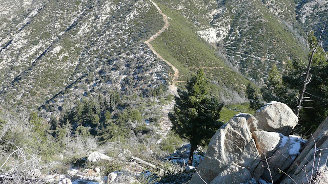
Looking up at the last real climb to reach the summit. The rock seen is a false summit, but the ridge is relatively easy to ascend beyond the rock.
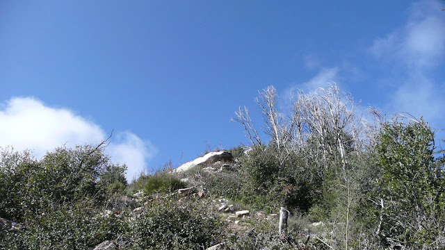
Old growth douglas firs on the NW face of Smith Mountain.
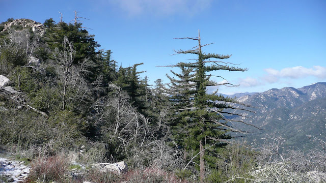
L to R: Pine Mtn, Dawson Peak, and Mount Baldy.
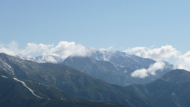
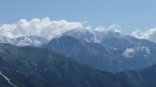
Mount Baldy. Iron Mountain is the dark peak outlined agains the snowy west slops of Mount Baldy.
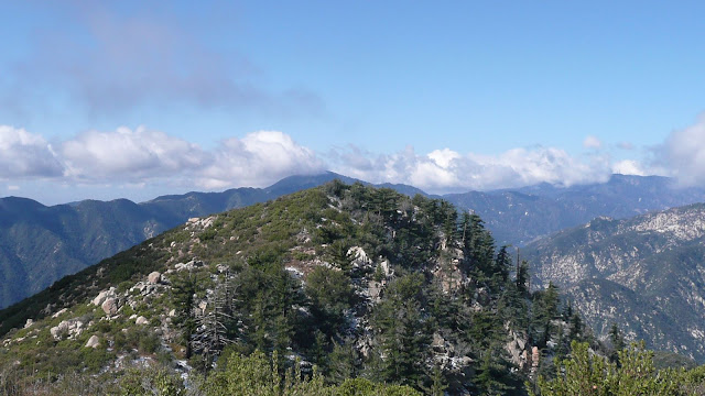
The SW summit of Smith Mountain. This summit looks as though it might be higher than the named summit, but the geo survey marker is on the named summit.
Mount Williamson
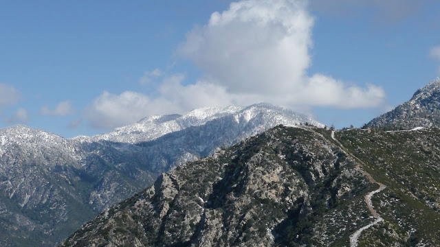
Crystal Lake basin
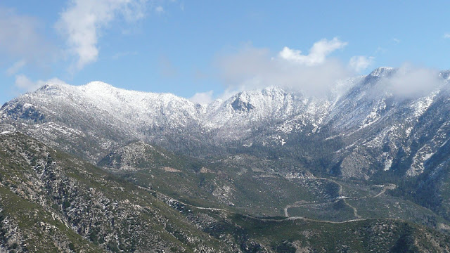
I think that's Mount Lawlor on the left and Strawberry Peak on the right.
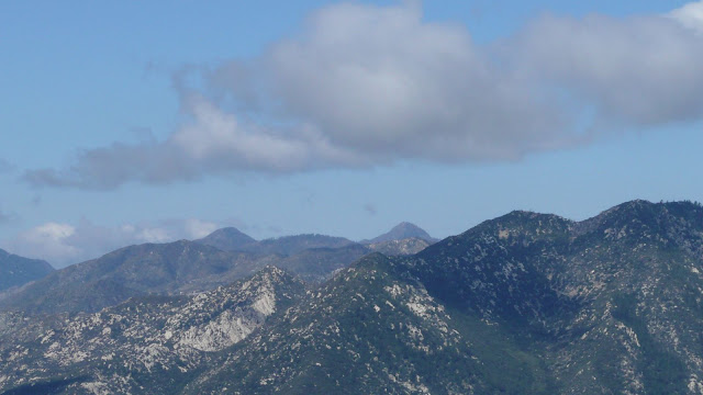
Not sure about that one.
On the summit of Smith Mountain.
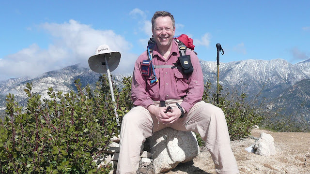
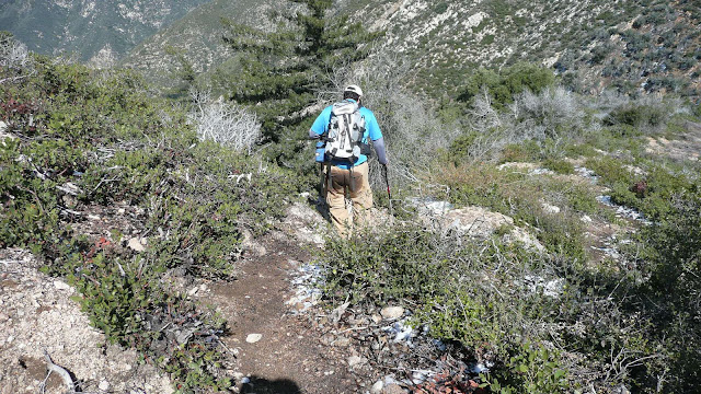
Will descends the use trail on Smith Mountain.
Back at the saddle, we paused for a little brew up.
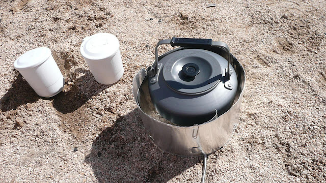
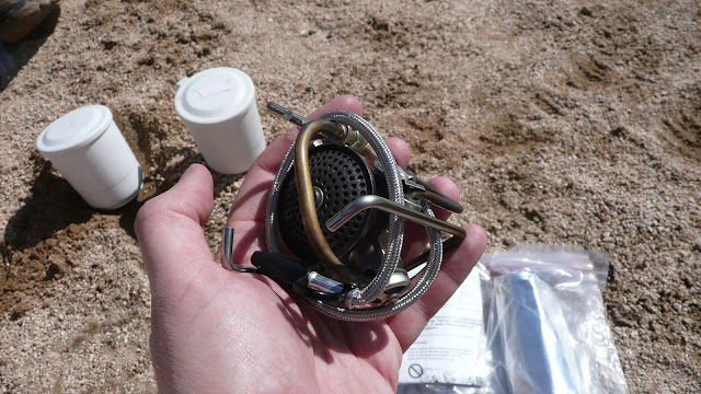
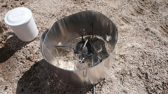
We used a Soto OD-1NP Muka stove, the latest thing from Japan.
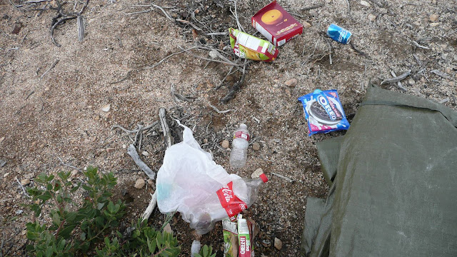
Trash at Smith Saddle. We removed all the trash except the four (six?) person car camping tent seen at the right. The tent was simply too large and too heavy for us to be willing to carry it out.
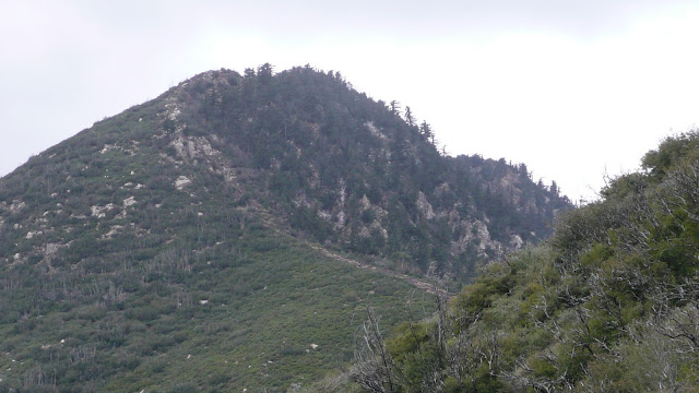
Looking back at Smith Mountain. The gray rocks that can be seen are the "crux" of the route. One must scramble up these rocks en route to the summit.
On our descent, it clouded up and began snowing. As we descended further, the snow gave way to light, intermittent rain. Just minutes after we got back in the car, the heavens opened up and it began to really rain. Good timing on our part.
In all, a really fun hike with lots of good views.
HJ
We hit the trailhead shortly before first light. Overnight, the mountains had gotten a light dusting of snow.
South Mount Hawkins
The first light of dawn illumines the upper slopes of Smith Mountain (5111'/1558m).
The trailhead sign. Note snow on top of sign. Our first destination is Smith Saddle (4300'/1310m) which marks the eastern boundary of the San Gabriel Wilderness.
The north face of Smith Mountain. This is the standard approach.
As we ascend, Smith Saddle comes into view.
The higher we go, the more snow we encounter, although we never encountered anything more than half an inch.
Here, a spider's web captures some snow.
Surprisingly, we crossed not one but four flowing streams. Normally, all of the streams would not be running. In fact, in most years, I seem to recall that none of the streams were running.
The first stream crossing.
Approaching Smith Saddle. Note how snow highlights the firebreak that leads to Smith Mountain.
Wilderness boundary sign at Smith Saddle.
Having gained the saddle, it's now time to depart the trail and head essentially cross country up to Smith Mountain. The route follows a fire break. There's a use trail of sorts up the fire break.
At the spot where the vegetation to the left of the fire break changes from light green to dark is the start of the "crux" of the route.
I put the word "crux" in quotes, since this really isn't a difficult route. There are a couple of very short sections of class three. However, my friend, Will, had injured his hand playing basketball. He elected not to try to go up over the rocky section with only one good hand. The conditions were a bit less than fully optimal having about a half inch of snow on the route. Probably a good call on his part.
Some views on the ascent:
East Twin Peak and Mount Waterman.
L to R: Mount Harvard (extreme left), Mount Wilson (with observatory dome and antennae), Occidental Peak (pyramidal), Mount Markham (flat-topped), San Gabriel Peak (highest in view), Mount Disappointment, Mount Deception (HPS name).
L to R: San Gabriel Peak, Mount Disappointment (antenna), and Mount Deception (HPS name).
Random summit on ridge leading down from Twin Peak.
E Twin and south ridge.
L to R: E Twin, Mount Waterman, Kratka Ridge.
Looking back down at Smith Saddle from above the crux.
Looking up at the last real climb to reach the summit. The rock seen is a false summit, but the ridge is relatively easy to ascend beyond the rock.
Old growth douglas firs on the NW face of Smith Mountain.
L to R: Pine Mtn, Dawson Peak, and Mount Baldy.
Mount Baldy. Iron Mountain is the dark peak outlined agains the snowy west slops of Mount Baldy.
The SW summit of Smith Mountain. This summit looks as though it might be higher than the named summit, but the geo survey marker is on the named summit.
Mount Williamson
Crystal Lake basin
I think that's Mount Lawlor on the left and Strawberry Peak on the right.
Not sure about that one.
On the summit of Smith Mountain.
Will descends the use trail on Smith Mountain.
Back at the saddle, we paused for a little brew up.
We used a Soto OD-1NP Muka stove, the latest thing from Japan.
Trash at Smith Saddle. We removed all the trash except the four (six?) person car camping tent seen at the right. The tent was simply too large and too heavy for us to be willing to carry it out.
Looking back at Smith Mountain. The gray rocks that can be seen are the "crux" of the route. One must scramble up these rocks en route to the summit.
On our descent, it clouded up and began snowing. As we descended further, the snow gave way to light, intermittent rain. Just minutes after we got back in the car, the heavens opened up and it began to really rain. Good timing on our part.
In all, a really fun hike with lots of good views.
HJ

 yooouu got in trouuble