Just before sunset we reached with great relief our high point the Red Reef Trail and I was never so happy to see a fire road. Small remnants of snow remained on the north slope of Topatopa Bluff and at 6,100 feet it was quite chilly out. We gobbled the remaining food and candy we had left took a few sunset photos and moved like lightning by headlamp for the last 9 miles and reached a car we had parked at the Sisar Cyn TH just after 8 pm.
Total Stats: 22 miles, 7502 elevation gain, 12.5 hrs and 8 tired feet
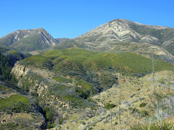
1:40 pm Cream Puff (unofficial name) and Hines Peak. We are aiming for the low point between and behind the two peaks.
all of my pix are here:
https://picasaweb.google.com/ryan.norma ... ToSisarCyn#