My evil twin brother Jake has always been intrigued by forest service road 4N33's circuitous route from Arrastre Canyon up to Messenger Peak. He'd seen it during several sojourns on the PCT to North Fork Saddle and beyond. Yesterday's beautiful weather was all that was needed to get him into our Jeep to satisfy his curiosity. His first attempt to access the road was confused by several signs indicating "private property" and "no forest access". He thought this strange due to no indication of inholdings along this road on any official map. Along Moody Canyon Truck Trail he encountered a large cow which had apparently gotten on the wrong side of its fence. Said cow had also garnered the attention of innumerable steers who had congregated along the fence line. A couple thousand feet short of the National Forest boundary, there was a suspiciously private-looking gate blocking further progress along 4N33. Since Jake was out to hike, and not challenge squatters he moved on to his plan B. He continued along Soledad Canyon Road and parked well out of the way of the residents on Bootlegger Canyon Road. Jake walked up the canyon floor accompanied by a very curious canine resident of one of the nearby houses. As the canyon steepened Jake scrambled up to the adjacent ridge, where he assessed his options for the slog to 4N33. The shortest, albeit steepest route was to follow the firebreak. This took him from 2,807' to 4N33 at 4,919' in roughly three miles. The balance of the hike was mostly on fire roads; 4N33, 3N17 & 3N32. He had hoped to make it up Condor Peak, but it became clear that he'd never make it back to the car before dark. He settled for one of the lower summits of Iron Mountain #2, overlooking Trail and Pacoima Canyons. Wildlife was unusually sparse, even for a winter's day in the beautiful San Gabriel Mountains. He only saw two rather large
odocoileus hemionus.
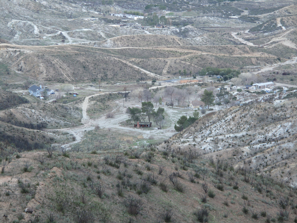
End of Bootlegger Canyon Road from one of the ridges above the canyon floor.
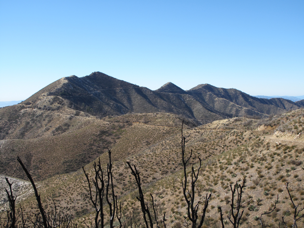
Path of the Pacific Crest Trail up to North Fork Saddle, in the distance.
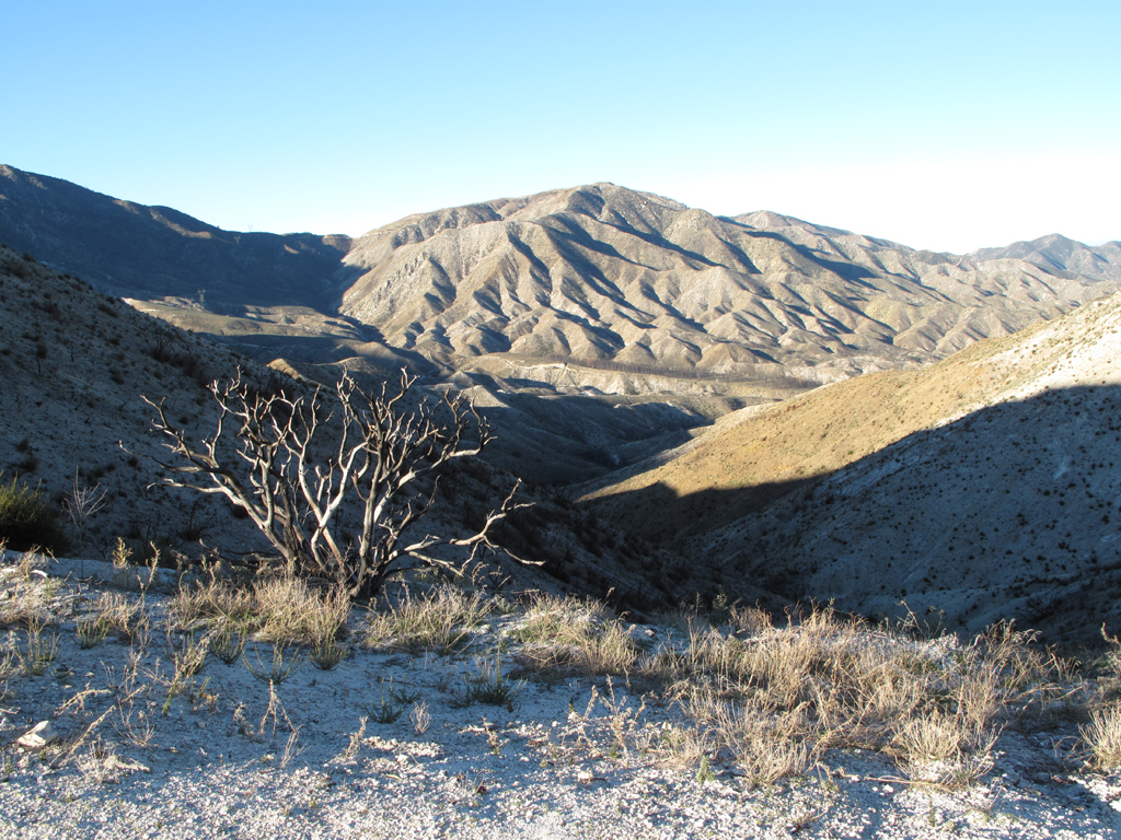
Looking back down the firebreak. Bootlegger's saddle is past the reddish hill at the end of the scorch area.
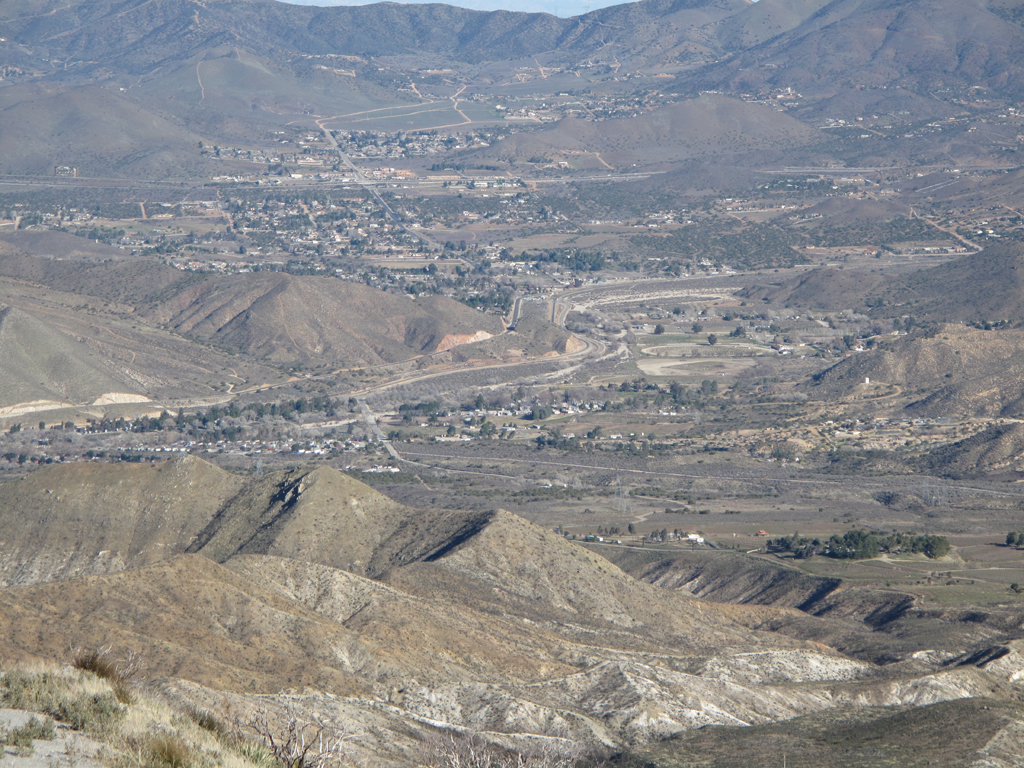
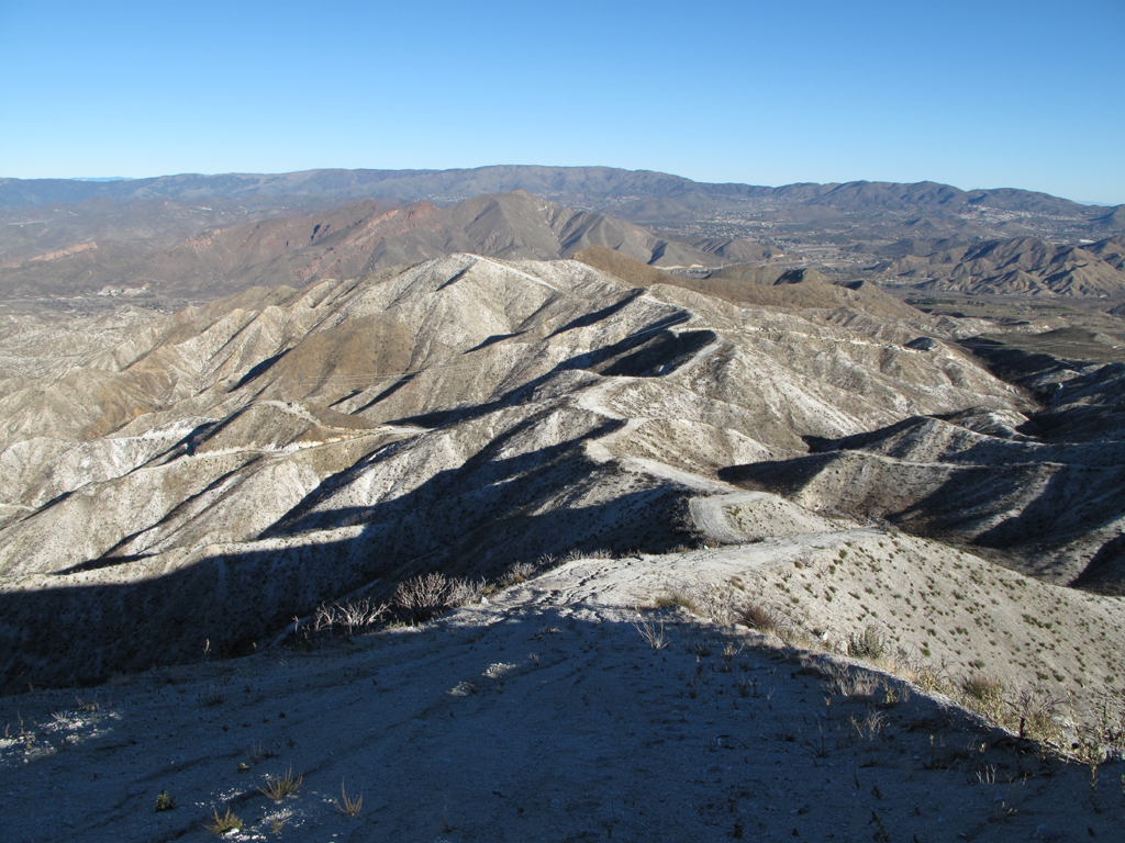
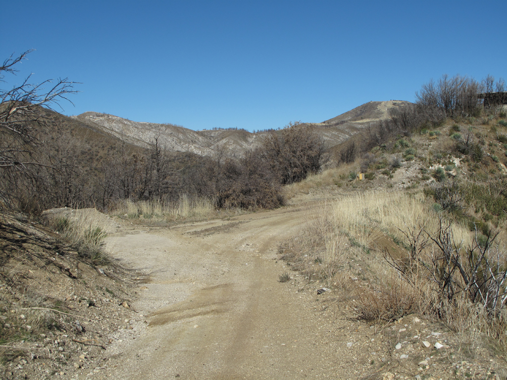
Arrastre Canyon and downtown Acton. 4N33 is gated short of national forest land near the trees at the right of this picture.
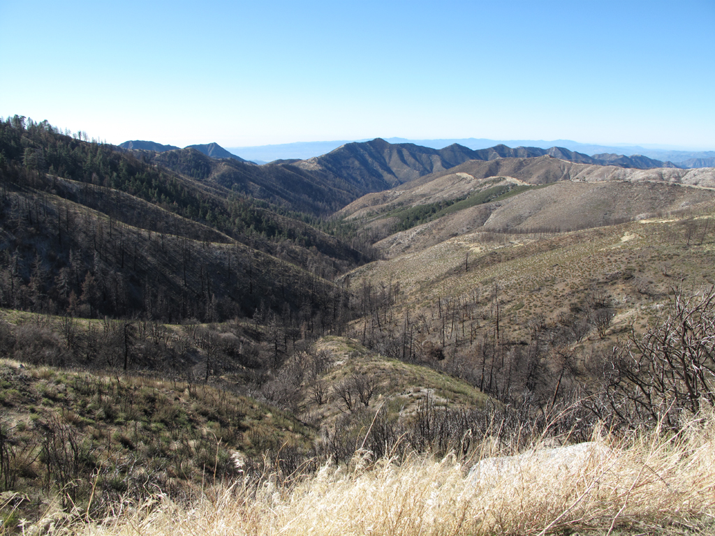
Upper Pacoima Canyon seen from 3N17 between Messenger Flat and Lightning Point campgrounds.

One of the many drainages feeding Fox Creek around Lightning Peak.
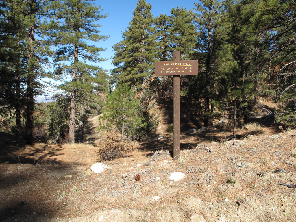
Deer Spring Trailhead, on 3N32.
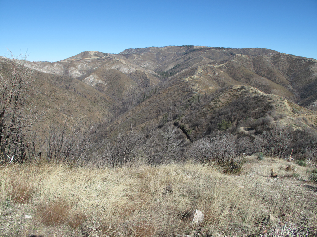
Upper Pacoima Canyon and Mendenhall Ridge, seen from 3N32.
Iron Mountain # 2 at left, and Mendenhall Ridge.
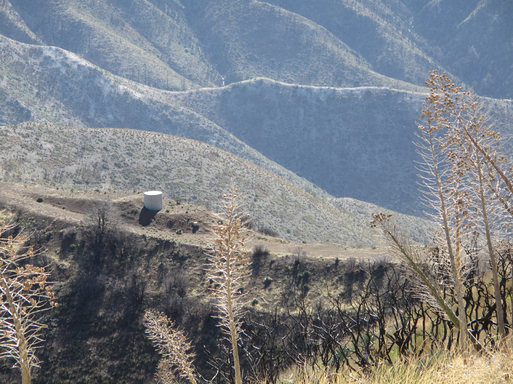
Trail Canyon saddle and water tank.
Condor Peak and the trail from Trail Canyon saddle.
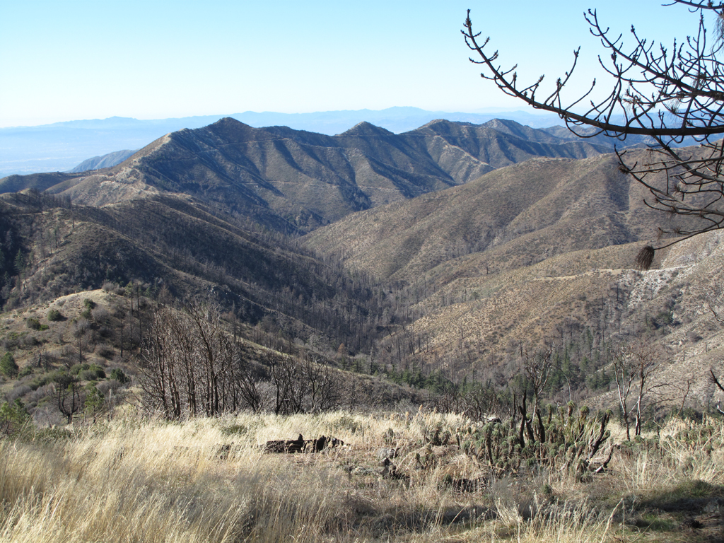
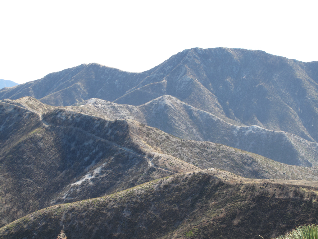
Messenger Peak, Lightning Peak (Point), and the lovely Mt. Gleason, seen from Iron Mountain # 2.
Indian Ben Saddle. Pacoima Canyon Road-Trail 3N31 descends at the left, and Upper Pacoima / Trail Canyon Trail (unnumbered) drops straight ahead.
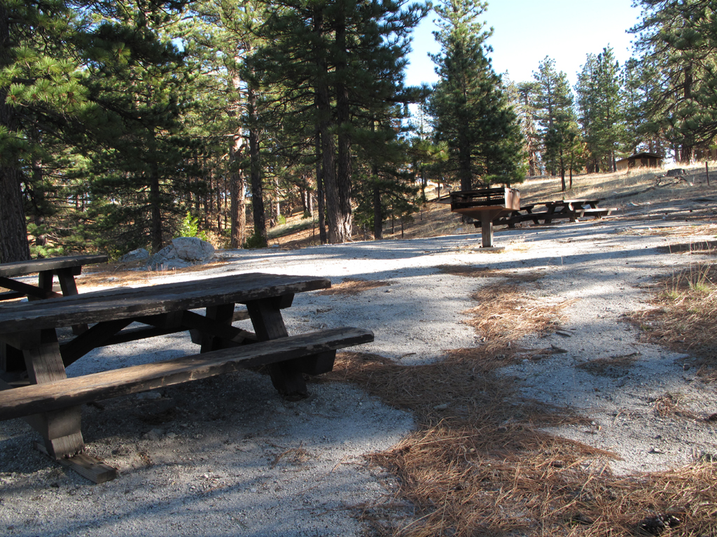
Somewhat underutilized Lighting Point Group Camp.
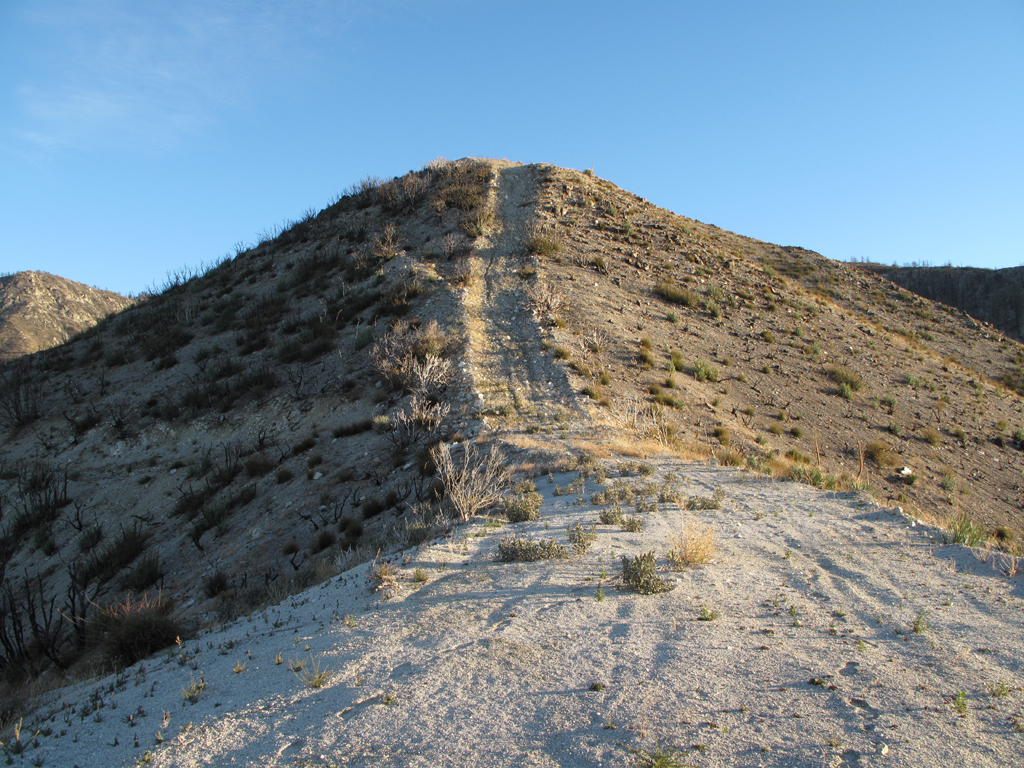
Picture does no justice to the steepness of this part of the firebreak.
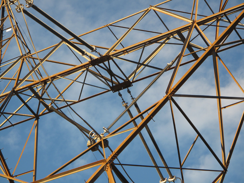
Gorgeous insulators, corona rings, vibration dampers and miscellaneous hardware on this tower supporting a high voltage transmission line from Adelanto to somewhere.
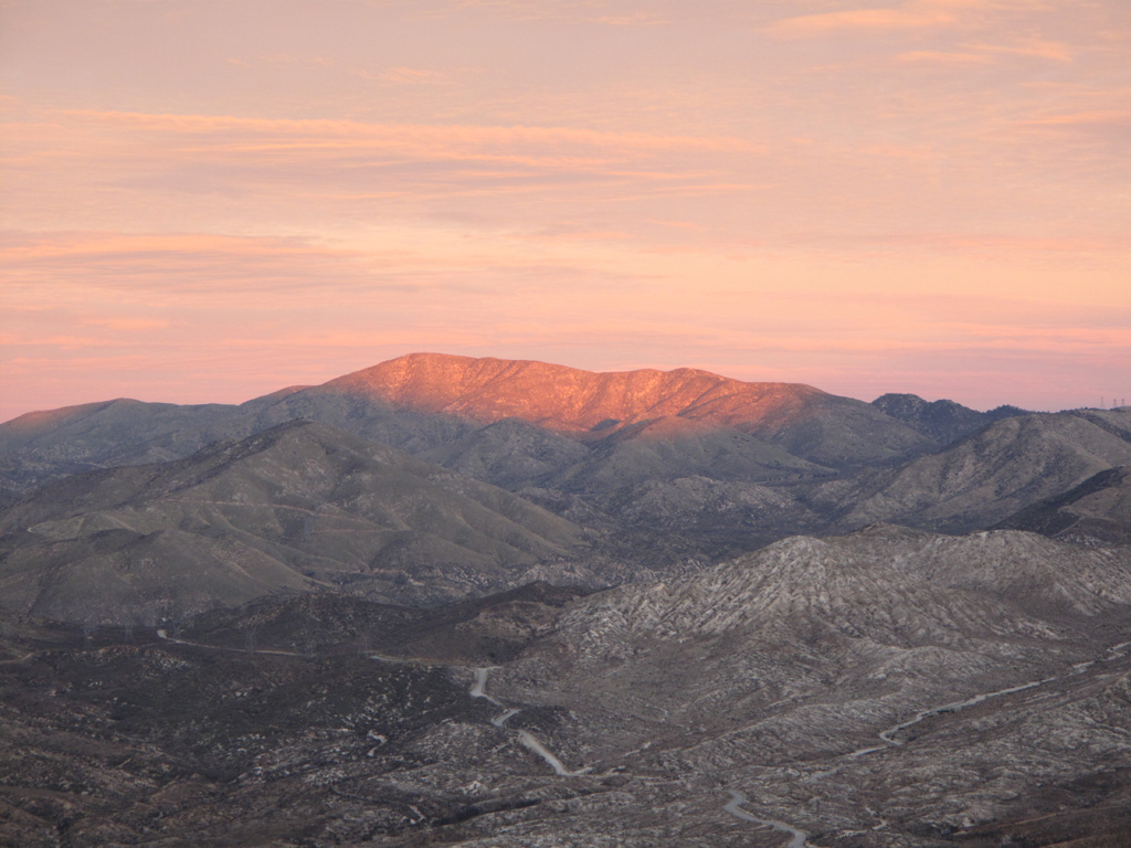
Alpenglow above Aliso Canyon.
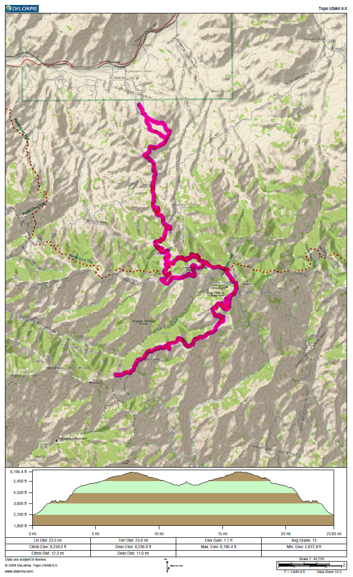
GPS track and elevation plot.