20101221 Some great waterfall shots

TRs for the San Gabriel Mountains.
Post Reply
User avatar
Taco
Snownado survivor
Posts: 6010
Joined: Thu Sep 27, 2007 4:35 pm

Post by Taco »

Went to do some scouting of a local canyon (non-canyoneering, just for fun), but the water level was too high for my taste, so I boogied out after an hour or so.

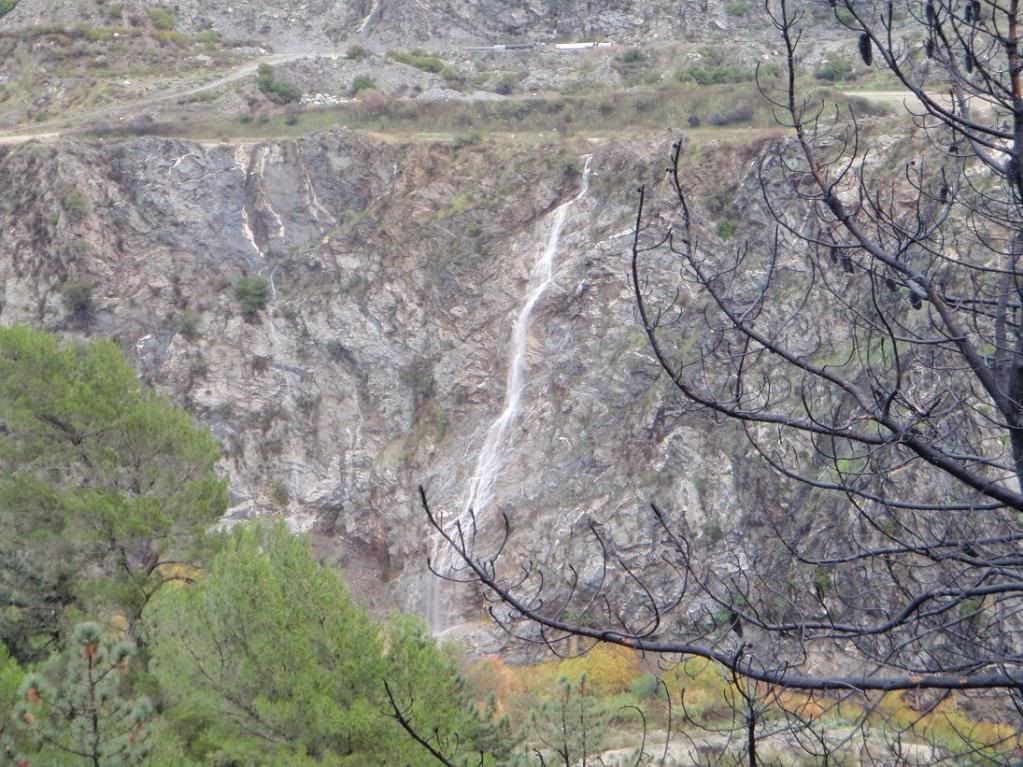
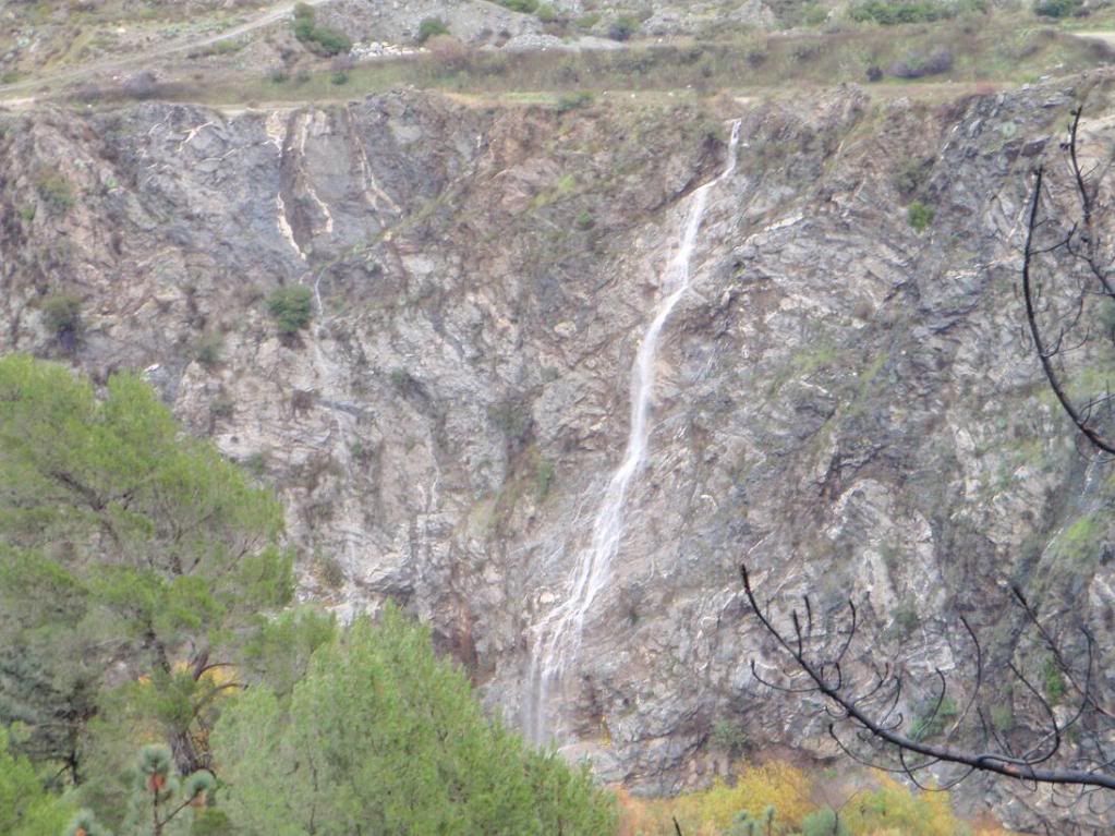
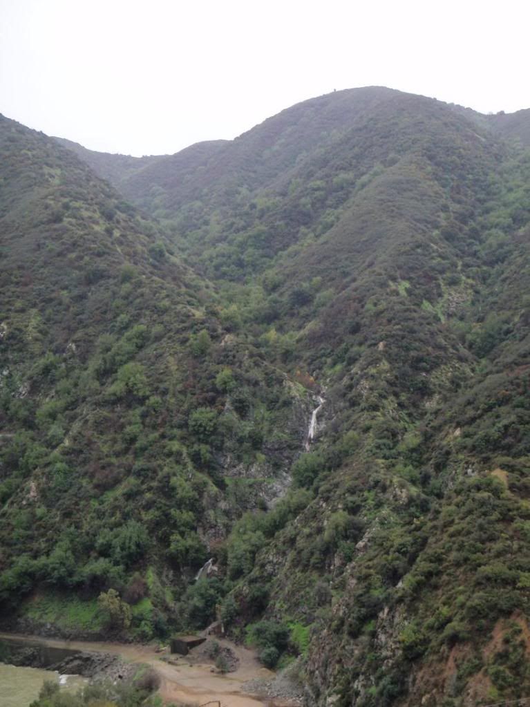
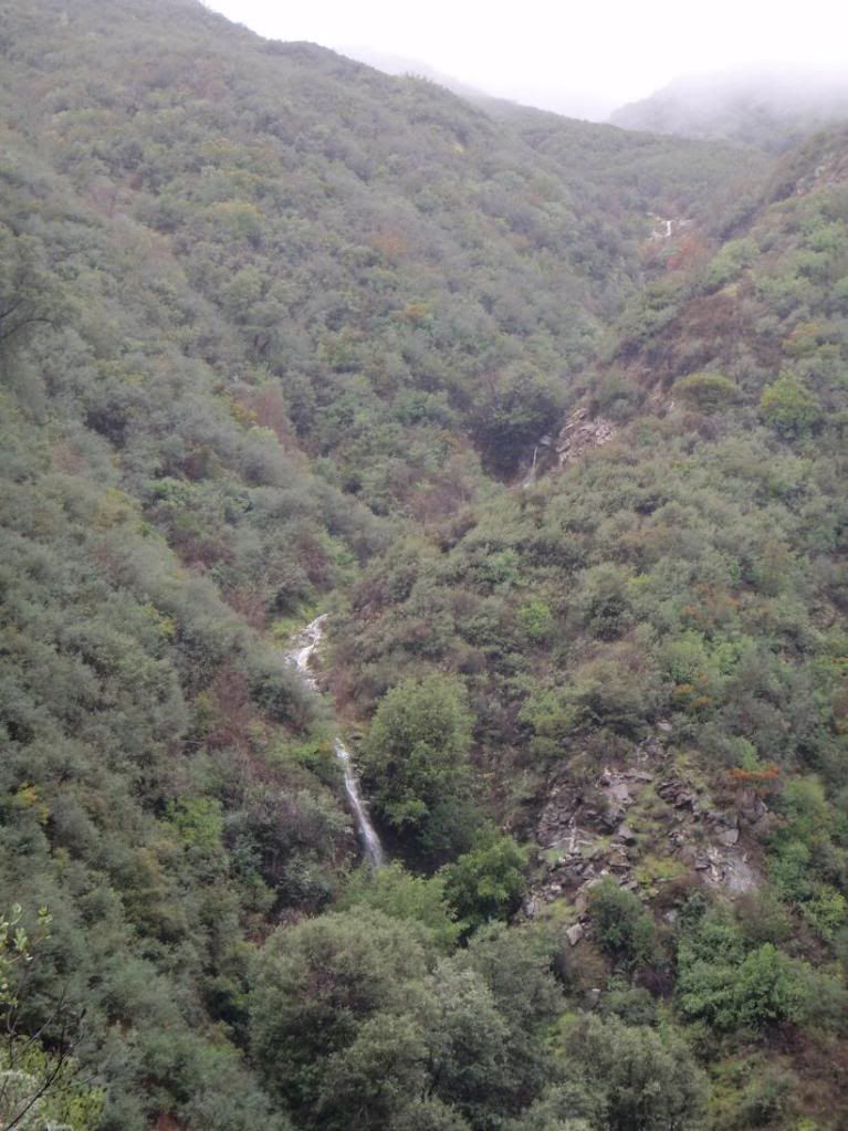
All was not lost, however, and I was able to get some great pics of waterfalls running at full steam. Several of these falls are ones I've always wanted to descend/canyoneer.
Image
Image
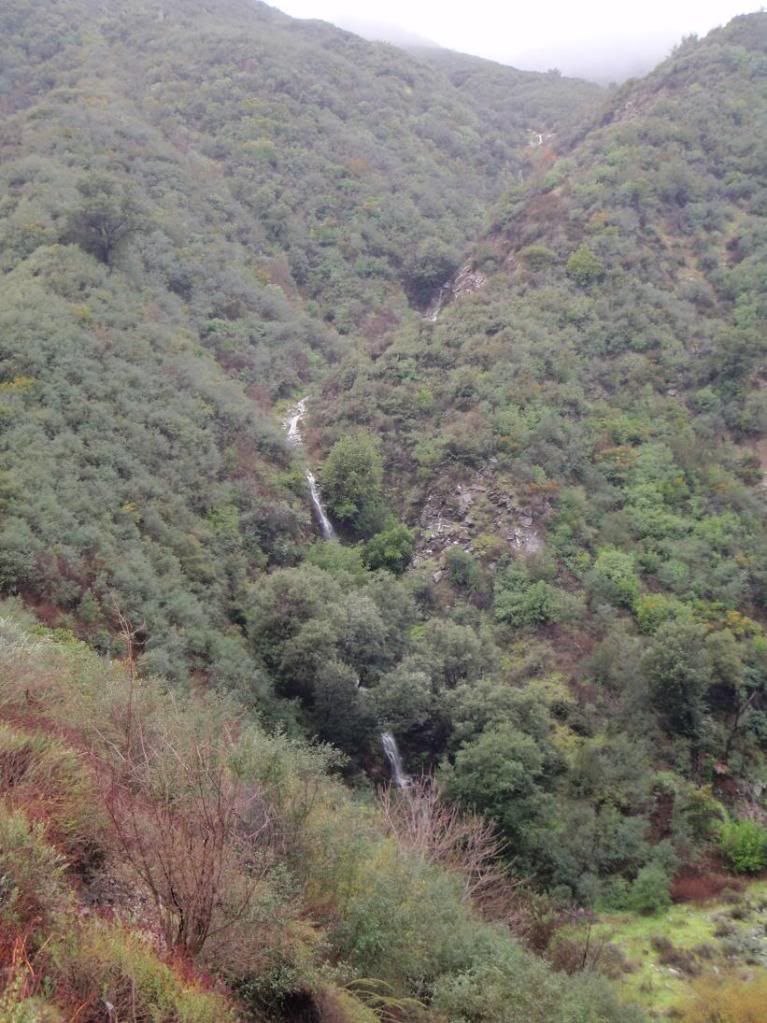
These cascades are west of the San Gabriel Dam, on the west side of R39. You can see them when driving south. I've always wanted to take a picture of them while they were really flowing.

Image
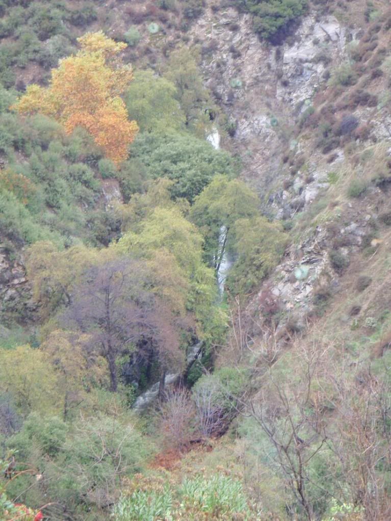
This one comes out of the drainage tunnel that flows under R39, near the aforementioned falls.


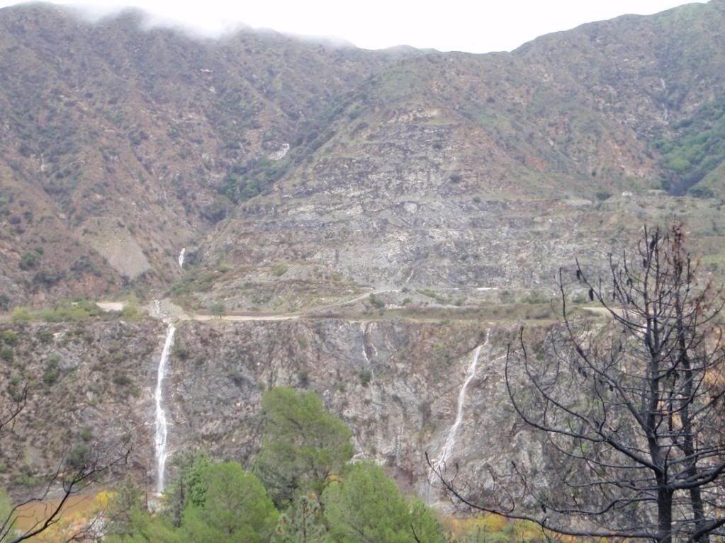
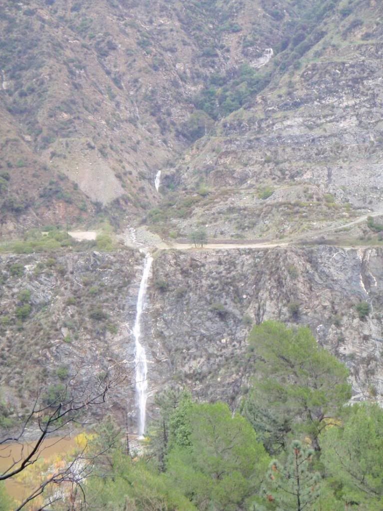
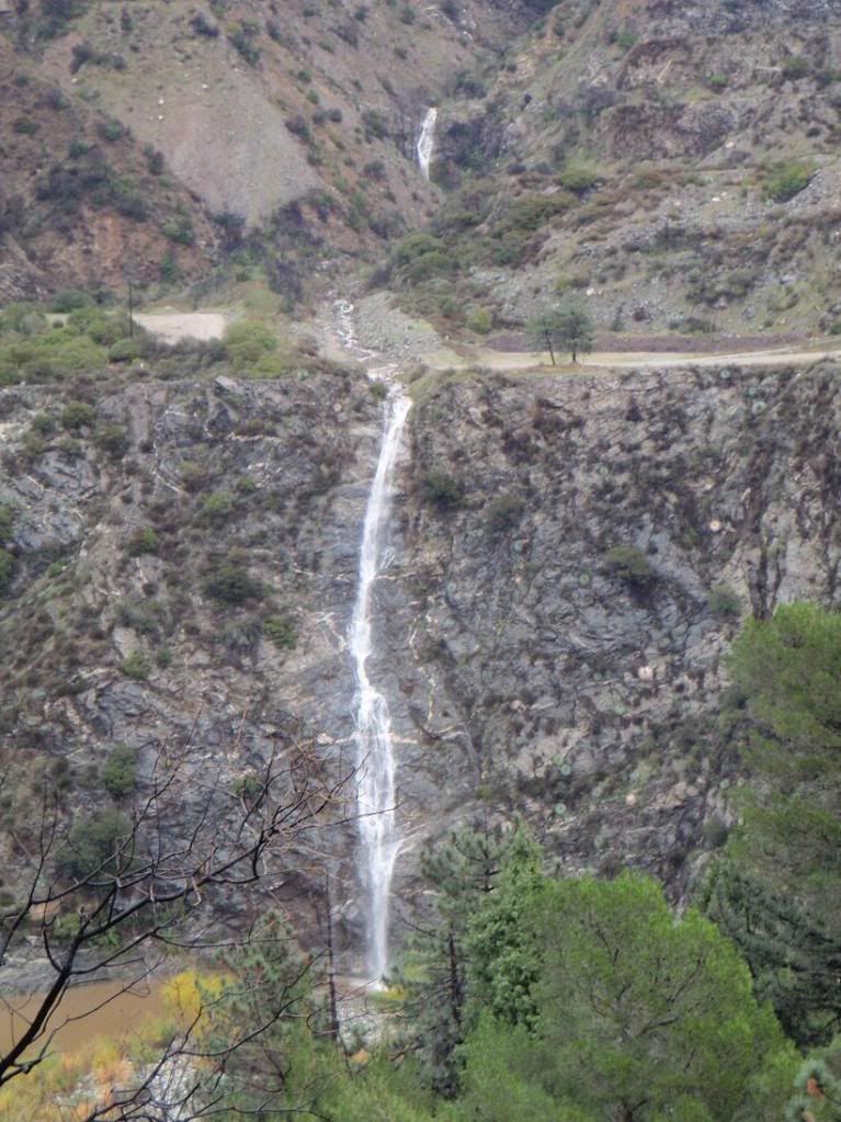
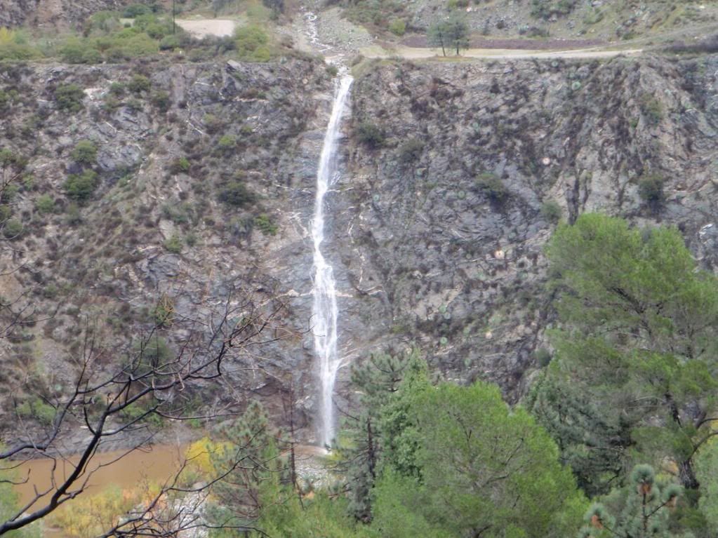
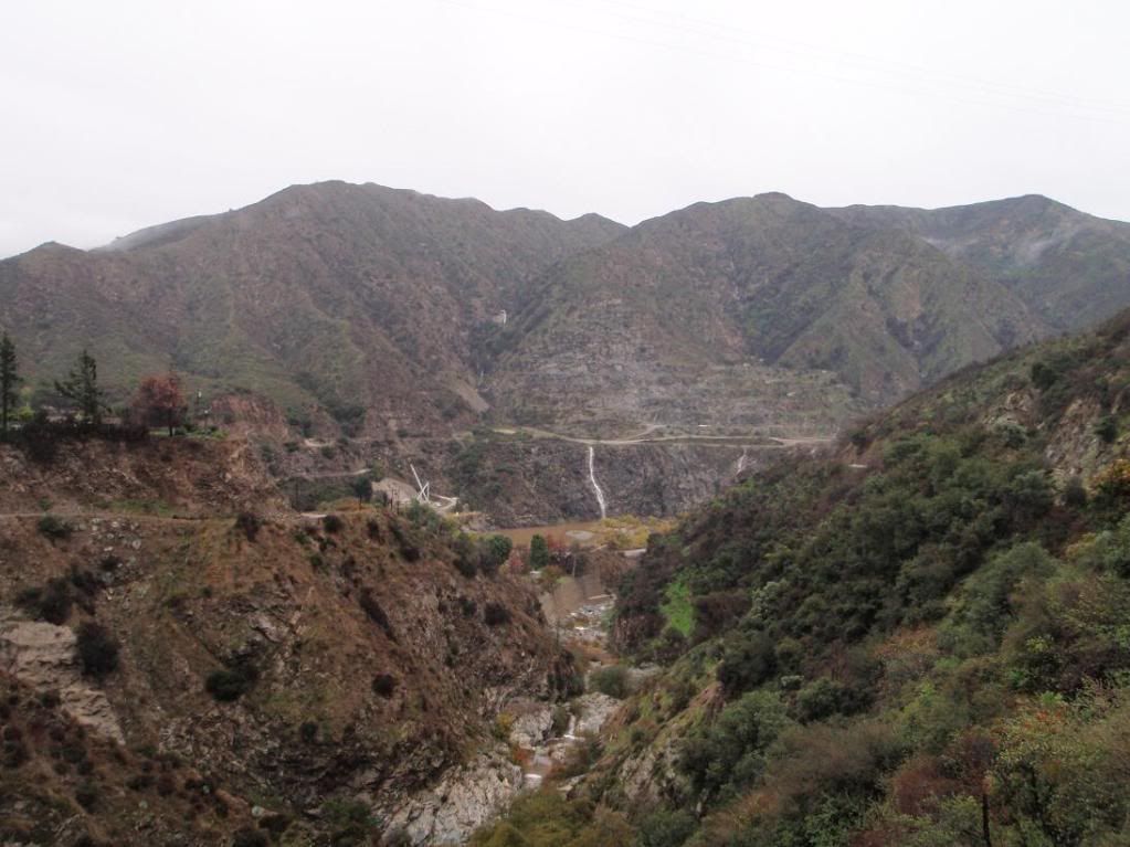
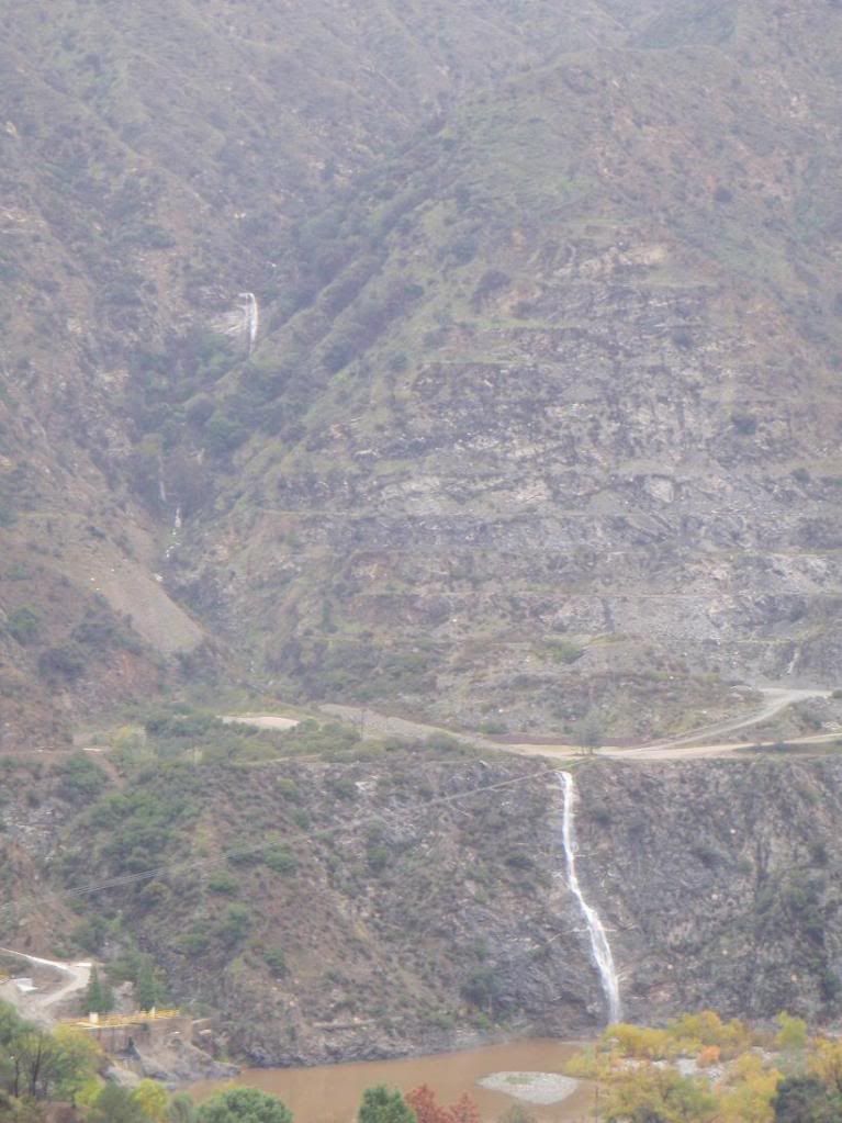
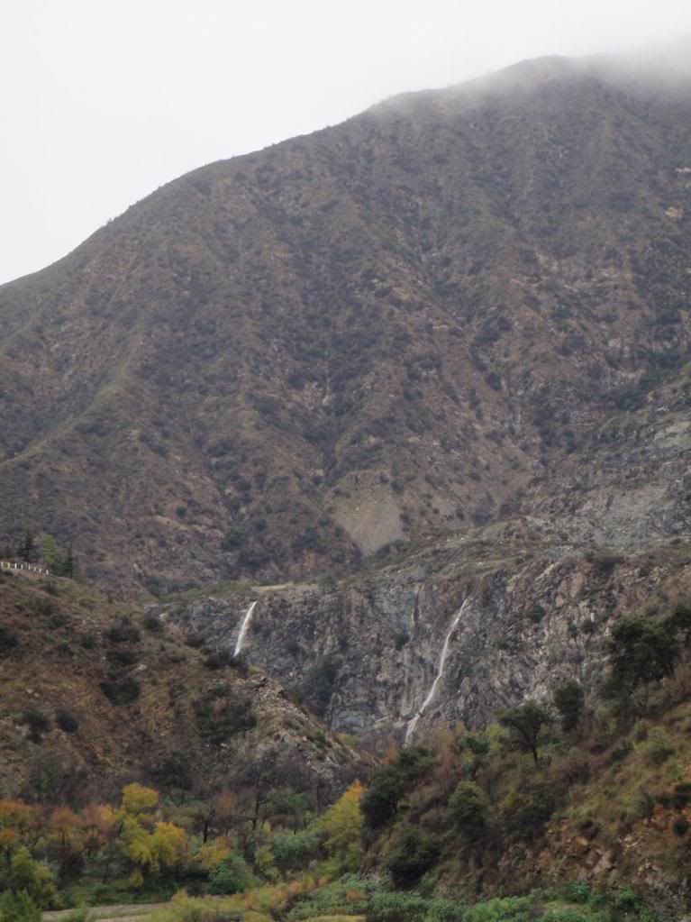
Driving further south, I got really excited when I saw the two falls near San Gabriel Dam flowing. They've always been dry when I've seen them.
Image

Image

Image

Image

Image

Image

Image

Image


An awesome view of the falls from the south:
Image


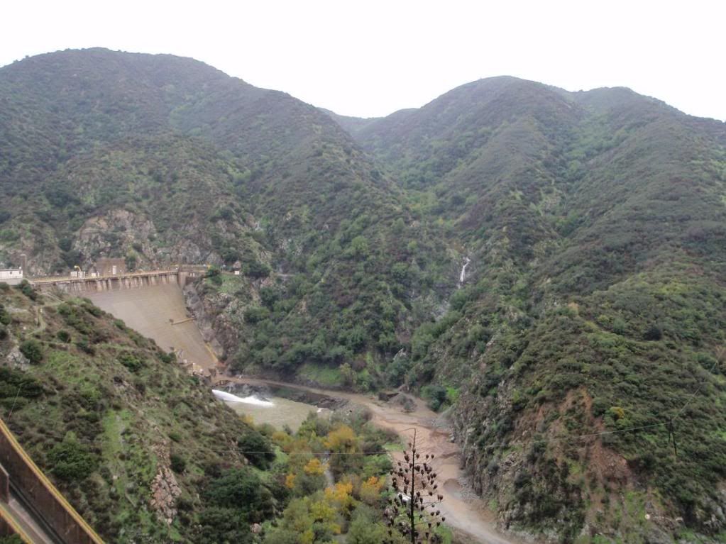
This canyon is right near Morris Dam...
Image

Image


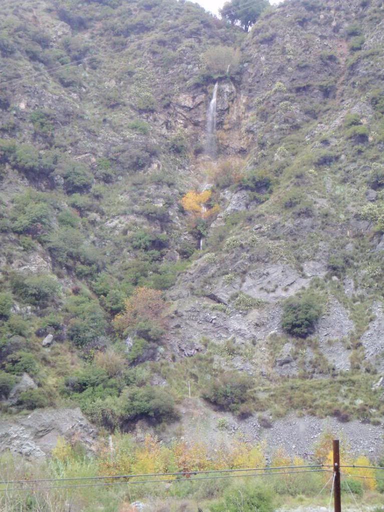
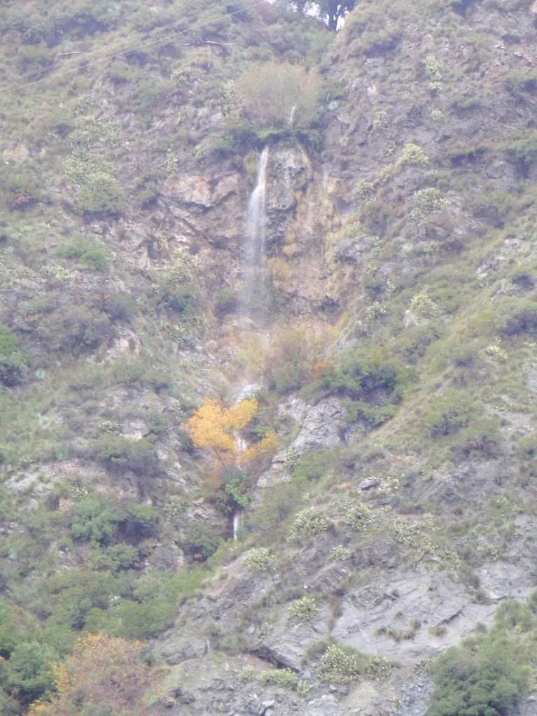
The last one is near the El Encanto Restaurant. It's short, and the dropin for the main falls looks like it would be incredibly inconvenient and unsafe, since there's all that foliage growing ON the dropin.
Image

Image


Does anyone have any info on these canyons? Names, possible descents, etc? I remember asking about the two large ones near the dam a while back. They would be the dog's bollocks to descend, though it would have to be raining a bit for there to be much water.
User avatar
norma r
Posts: 707
Joined: Thu Nov 06, 2008 4:22 pm

Post by norma r »

there's water in dem der hills!
User avatar
turtle
Posts: 152
Joined: Wed Jan 27, 2010 11:35 am

Post by turtle »

Wow...

These photos bear closer resemblance to the Na Pali Coast or Milford Sound than they do the typical San Gabriels scene.
User avatar
AW~
Posts: 2043
Joined: Mon Oct 01, 2007 12:00 pm

Post by AW~ »

west fork in season. alert - west fork in season :D
User avatar
simonov
Posts: 1087
Joined: Tue Nov 27, 2007 5:44 pm
Location: Reno, NV
Contact:

Post by simonov »

No pics, but this afternoon I drove over a bridge that crossed the Santa Ana River about a mile from its mouth. Holee shit, that's a lot of water.

Since we will be getting even more rain tonight, I'll try to remember to bring a camera over there tomorrow.
Nunc est bibendum
User avatar
outwhere
Posts: 323
Joined: Sun Jan 25, 2009 5:40 pm

Post by outwhere »

Killer pics - beautiFULL! Reminds me of the Blue Mountains in Jamaica...
User avatar
cougarmagic
Posts: 1409
Joined: Wed May 07, 2008 5:21 pm

Post by cougarmagic »

Really nice stuff! The big falls are great - but what's even better about the water flow is that you can see there are more drops above. Without the water, it would just look like the average brush filled slope-y canyon.

I've always wanted to hike into a secure spot near a waterfall in one of our canyons, and watch a flash flood come through. I got to see it in Zion a few years ago - waterfalls everywhere. I won't soon forget it.
User avatar
AW~
Posts: 2043
Joined: Mon Oct 01, 2007 12:00 pm

Post by AW~ »

1st 2 - Browns Gulch, drainage flowing NE from pk2564. Good eye, would be a quick route...elevation 1500-2000.

The rest of em probably are illegal and on LA DWP property. One of the waterfalls might be legal, depends on when the property line starts.
User avatar
Taco
Snownado survivor
Posts: 6010
Joined: Thu Sep 27, 2007 4:35 pm

Post by Taco »

Thanks AW. For sure it would be a nice quick "morning canyon".

I figured it would be a no-go for the Dam ones. Also, one would be off-rappel in the water, which might be owned by them or something.
User avatar
AW~
Posts: 2043
Joined: Mon Oct 01, 2007 12:00 pm

Post by AW~ »

Taco wrote: Thanks AW. For sure it would be a nice quick "morning canyon".

I figured it would be a no-go for the Dam ones. Also, one would be off-rappel in the water, which might be owned by them or something.
They own all the way up to the top of the terraced section...which is hundreds of feet above the water...and they own below R39. The top of the main all year waterfall starts on public property and looks like in may end on DWP land. If I remember right, the Morris Dam holdings is 3200 acres alone.

Its not just that waterfall. I was viewing at this cool looking waterfall in a clean drainage near Cogswell, but no public access...and not to rumour it, but I really recall reading somewhere all 3 dams are on the Homeland Security list.
User avatar
Taco
Snownado survivor
Posts: 6010
Joined: Thu Sep 27, 2007 4:35 pm

Post by Taco »

If they're on the list, that's hilarious. They should be on it, but...

Anywho, yeah, the dropin for those BIG ones near the damn is right off Newman Point on the south side of GMR.
User avatar
Johnny Bronson
Posts: 179
Joined: Mon May 31, 2010 2:04 pm

Post by Johnny Bronson »

300 ft+ static line anyone? =D
Post Reply