Pacoima Canyon via Dorothy Canyon

TRs for the San Gabriel Mountains.
Post Reply
User avatar
Elwood
Posts: 612
Joined: Fri Aug 15, 2008 5:23 pm

Post by Elwood »

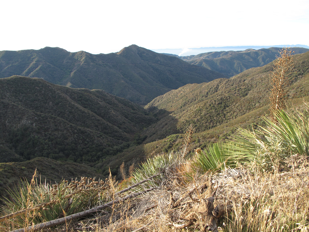
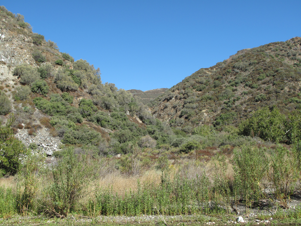
My evil twin brother Jake really wanted to observe and photograph what a year's recovery had accomplished around Iron Mountain #2. As usual, he ended up nearby, but elsewhere. He had planned to walk UP Pacoima Canyon to 3N31, to Indian Ben Saddle, then (little) Iron, or Condor. Much like the ill-fated Hekawi, he didn't realize he'd reached the main Pacoima drainage and proceeded down, rather than up canyon. He stealthily started up Santa Clara Divide Road at 0643. His original plan was to descend via the Dagger Flat Trail, but he was really bookin' along 3N17.7 and blew bast the trailhead. He didn't really mind, because he planned for Dorothy Canyon as an alternate, should Dagger be impassable. The paved road was a little harsh with Jake's hiking boots and heavy pack, but he knew he'd be on dirt soon enough. The old roadbed that is the Dorothy Canyon Trail was a little brushy and rutted, but probably much more so prior to September 2009. Jake is an engineer by trade and knew intellectually that the downed high voltage power lines had to be dead, but was unwilling to climb through them citing the risk of certain death by electrocution should he be wrong. His calculus for the balance of the descent was that any move down canyon had to be reversible. Dorothy Canyon was completely unknown to him, and the thought of requiring rescue here, or worse, was unthinkable. It turned out to be a very pleasant and short descent. Car shuttles notwithstanding, this would be a fun rope-optional, newbie canyon. Jake says that Pacoima is a REALLY beautiful, easily traveled canyon. As he got closer to the Mendenhall trail he was surprised by the number of trail flares and ducks. His walk from Dillon Divide back to Bear Divide was pleasant, save for careful negotiation of the many blind curves on the roadway.

Image
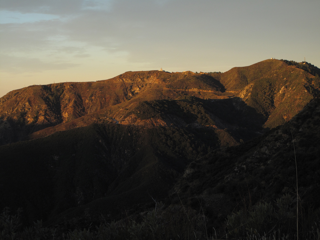
Mt. Los Piñetos, former NIKE site and LA Fire Camp #9.
Image
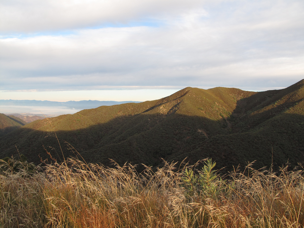
Morning sun lighting up Bear Canyon.

Image
View down Bee Canyon towards 3N32.1 and The Pinnacle.
Image
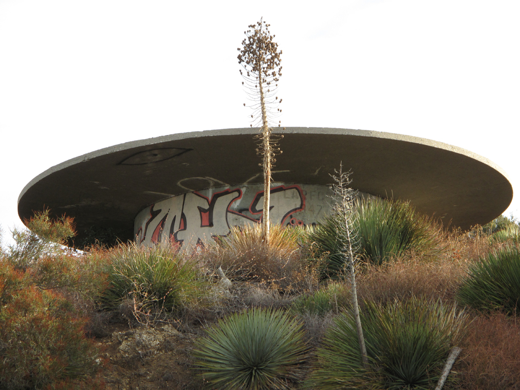
Cistern overlooking Sand Canyon.

Image
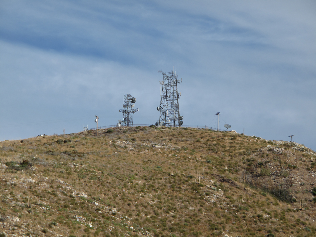
Communications site atop Magic Mountain.
Image
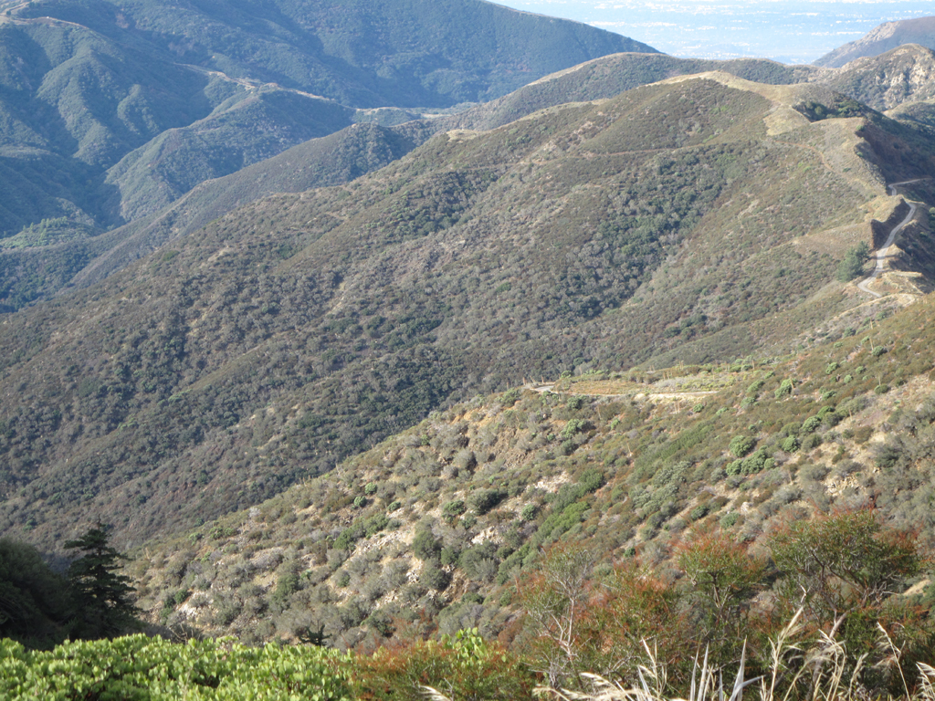
Dagger Flat trail starting down D.F. Canyon.
Image
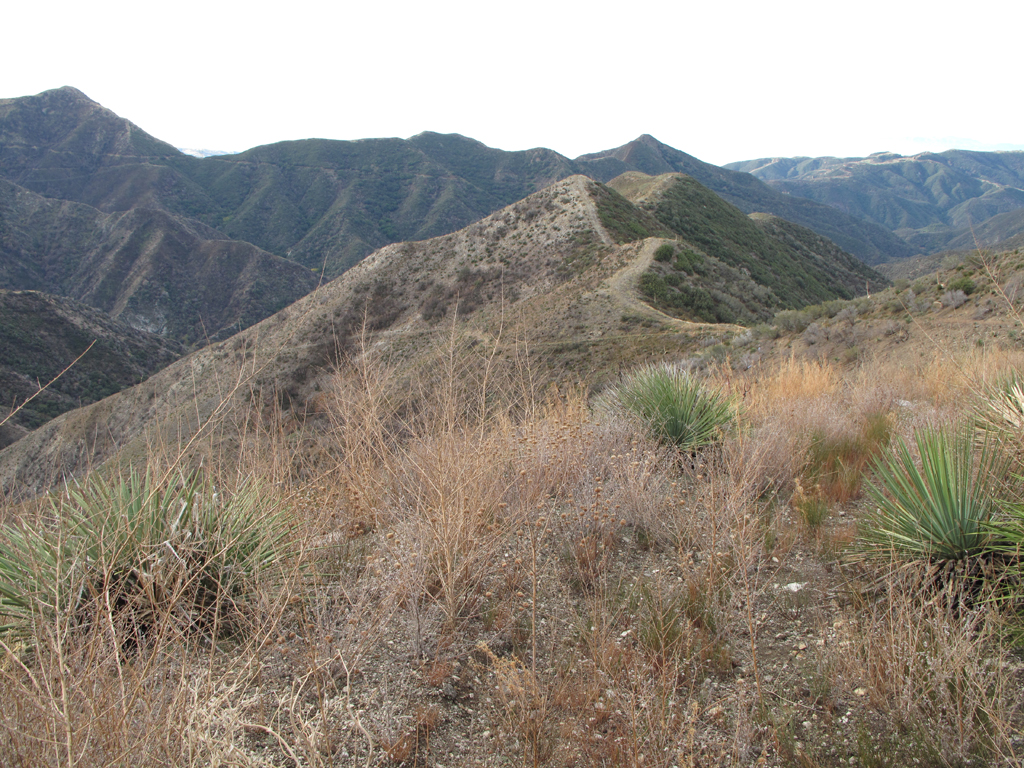
Old roadbed / Dorothy Canyon Trail, just below Magic Mountain.

Image
What would wildfire recovery be without this fine species?
Image
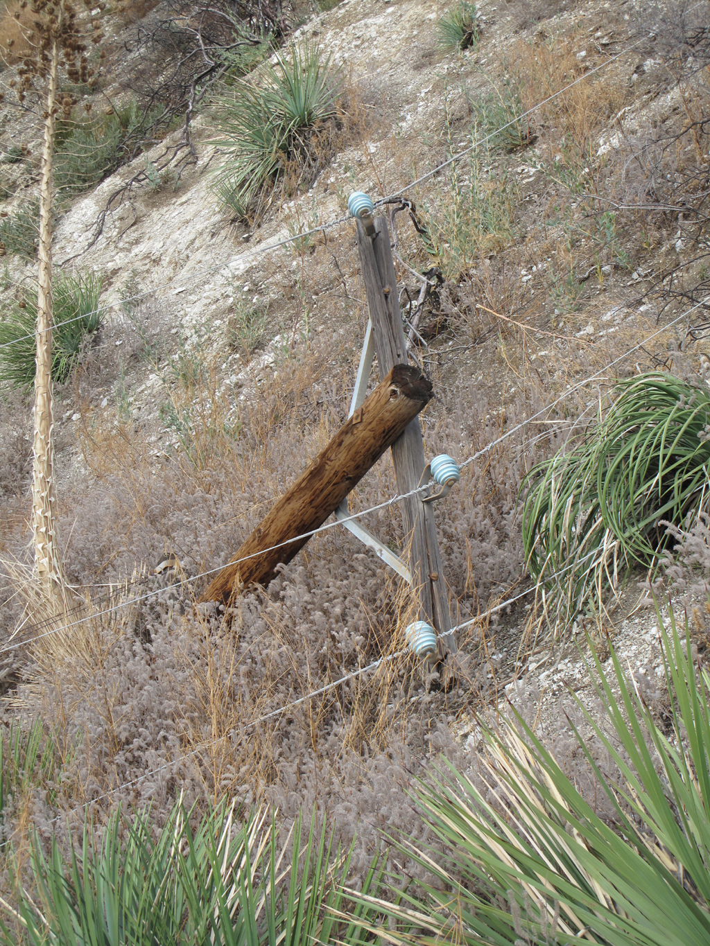
Jake stopped at this downed power pole. He would have had to crawl through the theoretically de-energized lines to proceed to...
Image
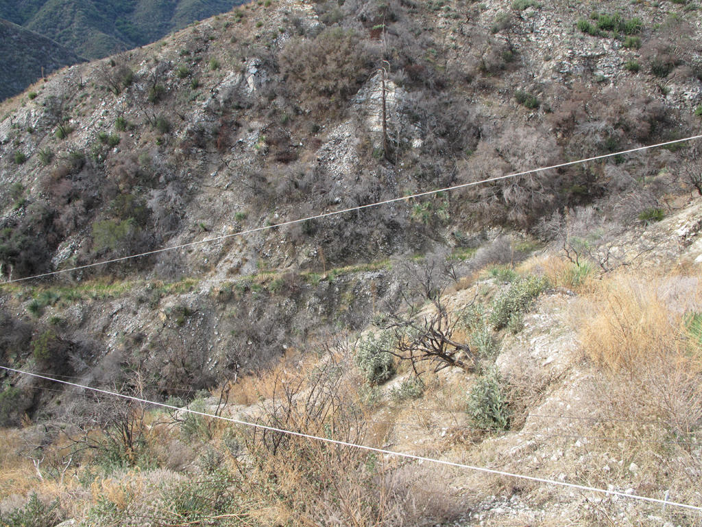
Fairly impassable washout of the trail/road. Luckily Jake identified a nearby ridge that reaches the streambed.
Image
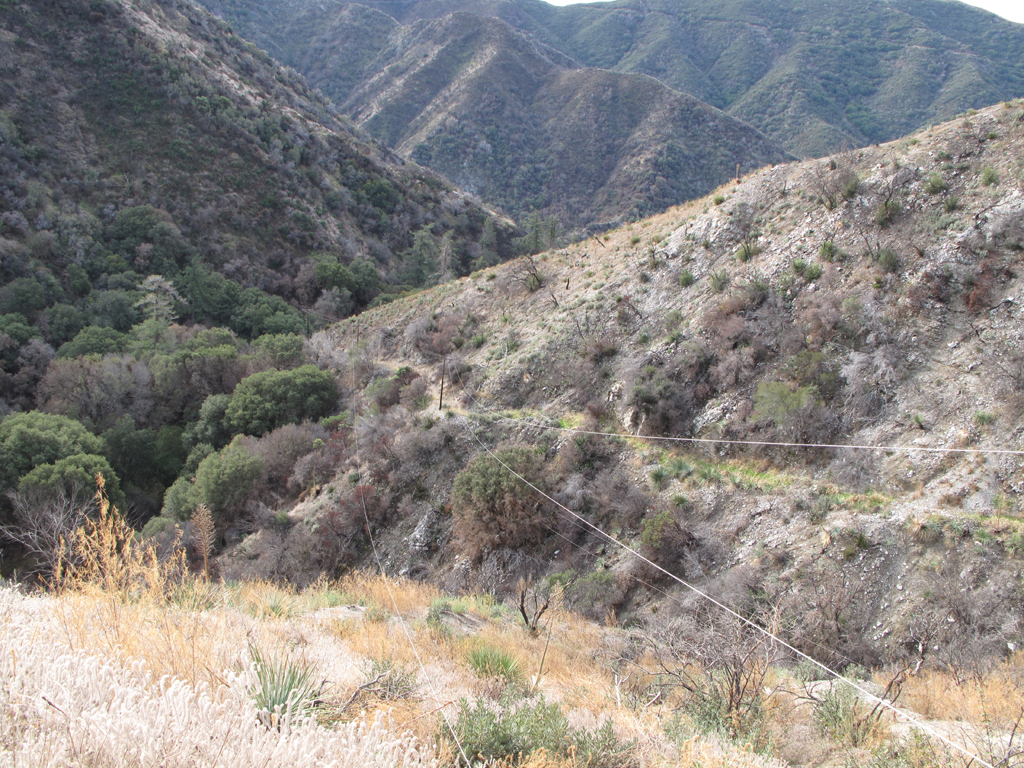
The fallen pole pulled the leftmost conductor off the next crossarm, where the road continues.
Image
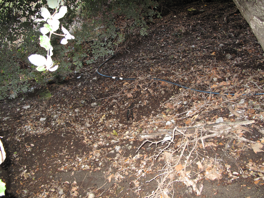
Can't imagine what this irrigation line would be doing at the bottom of an isolated San Gabriel Mountains canyon. :evil:
Image
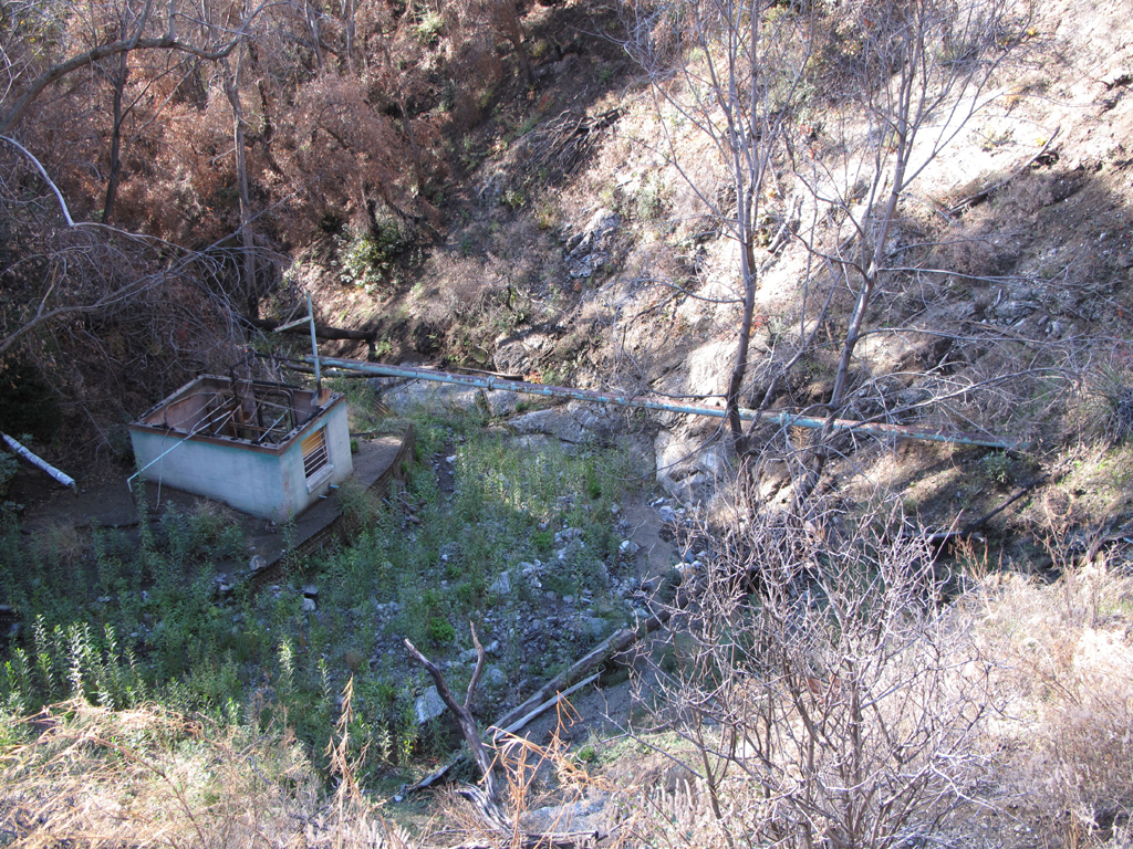
Pumphouse and well. Very badly damaged by fire.

Image
Flame-broiled electrical cabinet in the pumphouse.

Image
It appears that the cultivator's hoses took a hosin' in last winter's flow.
Image
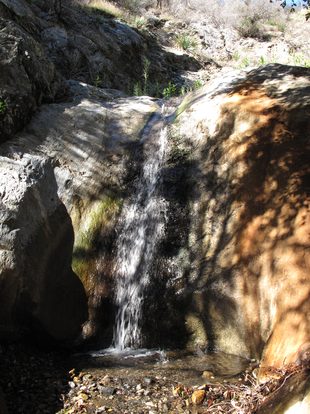
One of several little waterfalls in Dorothy Canyon. Jake says that all can be carefully downclimbed or bypassed.
Image
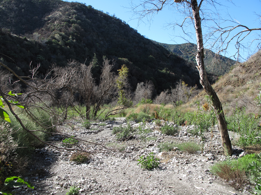
Finally reached the floor of Pacoima Canyon.
Image
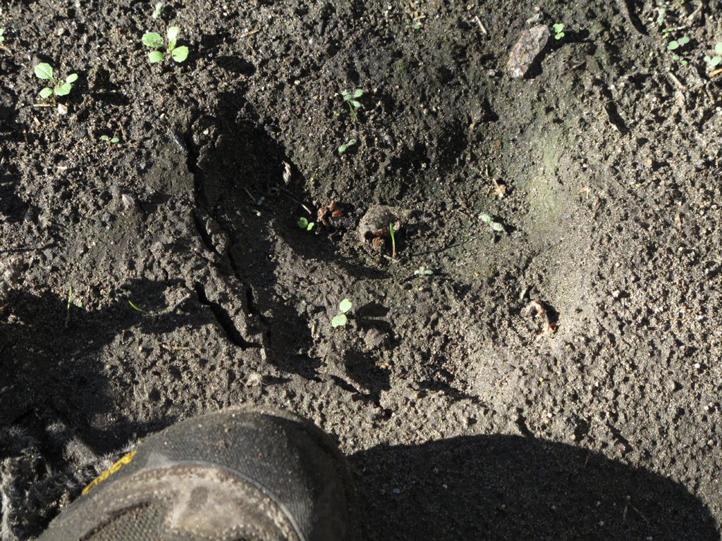
A good-sized and fairly recent ursus americanus print.
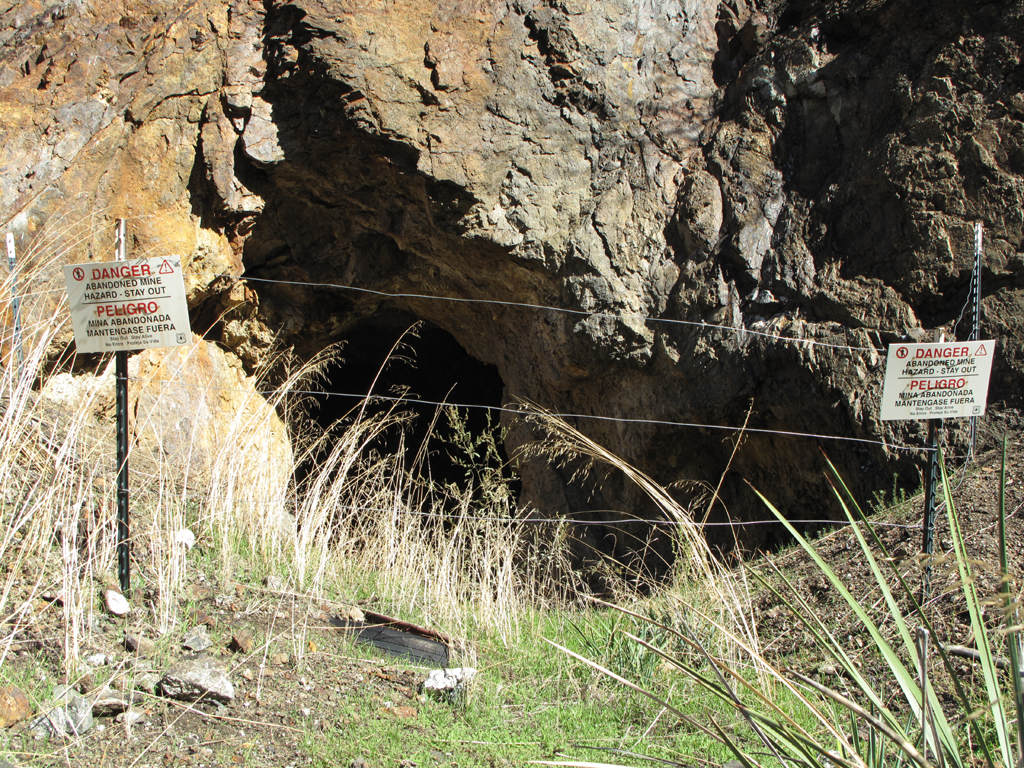
Image
Jake was able to sense the very subtle hint that there might be some danger here. It's near the foot of Laurel Canyon.
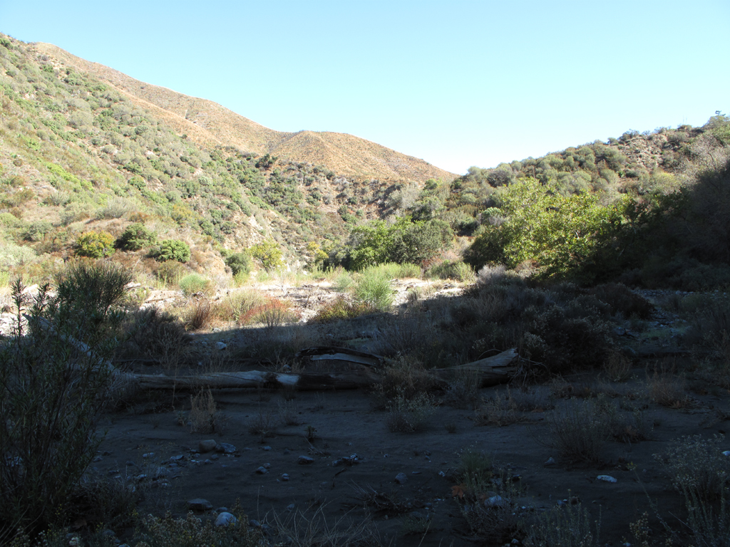
Image
Dagger Flat.

Image
Looking up Dagger Flat Canyon towards Santa Clara Divide Road (3N17.7).
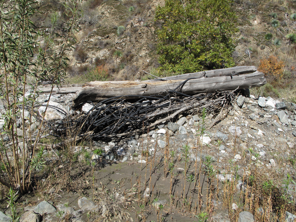
Image
Another knot of hosed hose, washed down Pacoima Canyon.
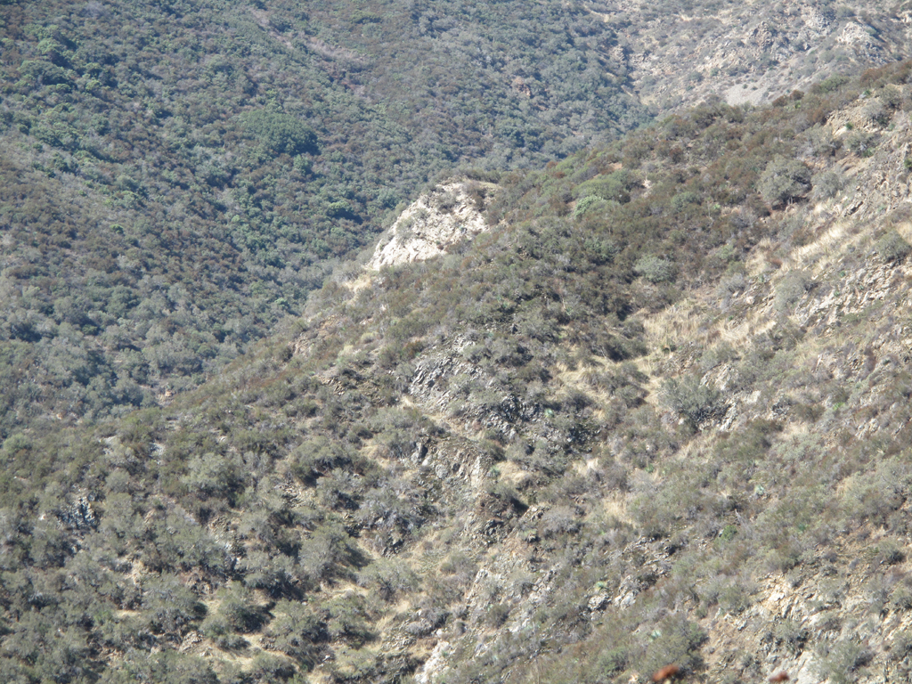
Image
Jake could barely make out what's left of the lower Dagger Flat Trail as he ascended towards Mendenhall Ridge Road.
Image
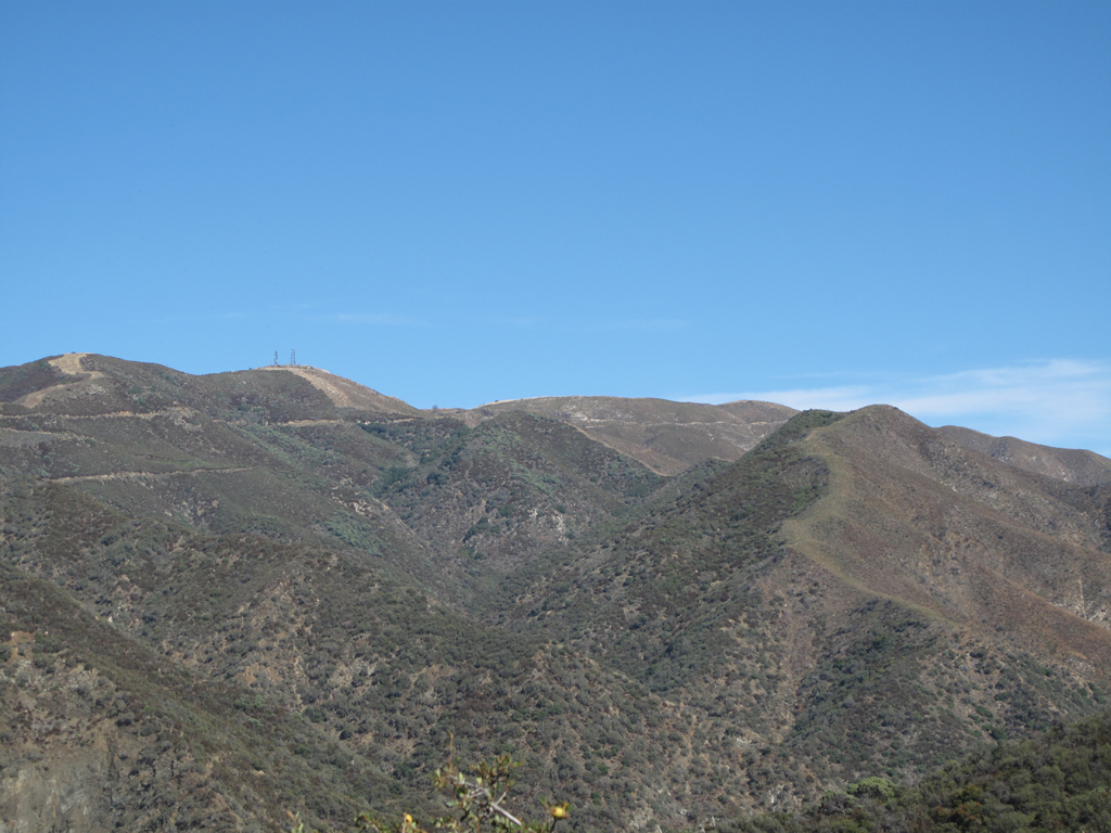
Clear delineation of the Station Fire burn in Pacoima Canyon, below Magic Mountain.
Image
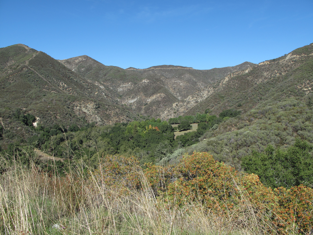
View up Pacoima Canyon, from Little Tujunga Canyon Road.
Image
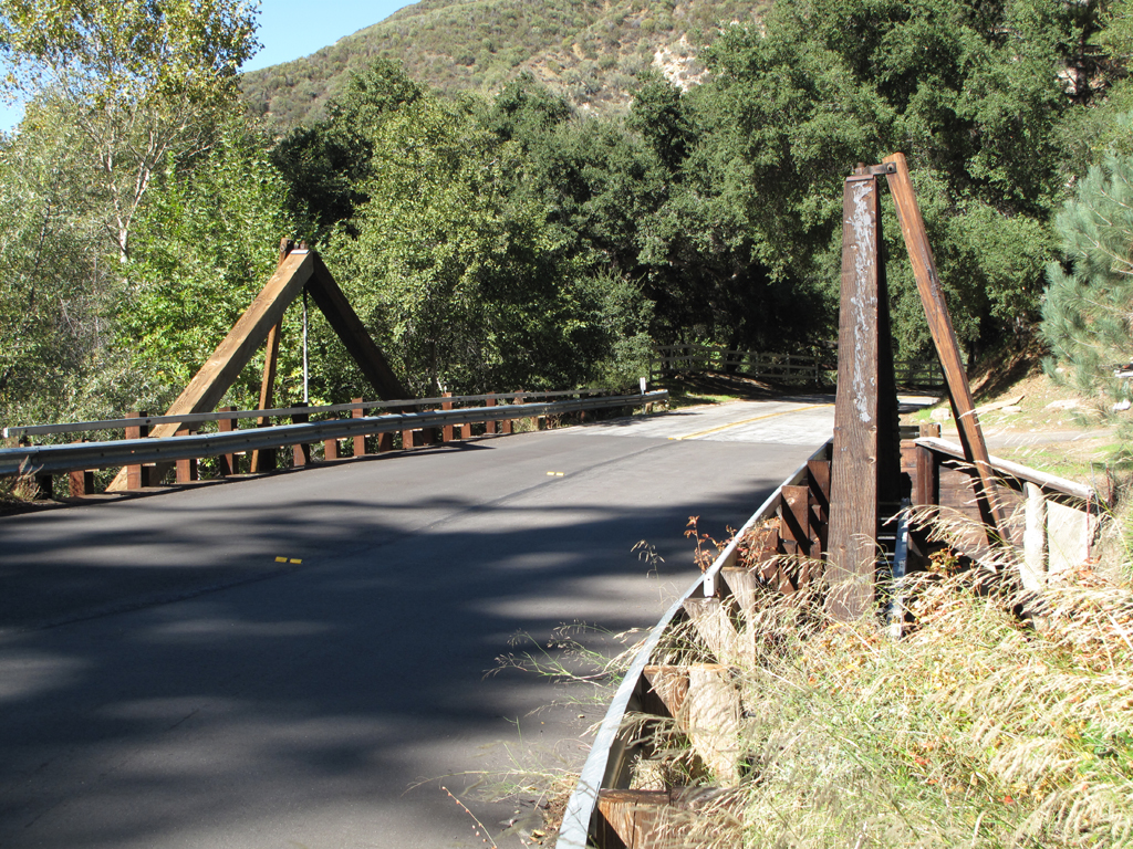
"Timber" bridge carries Little Tujunga Canyon Road over Pacoima Canyon.
Image
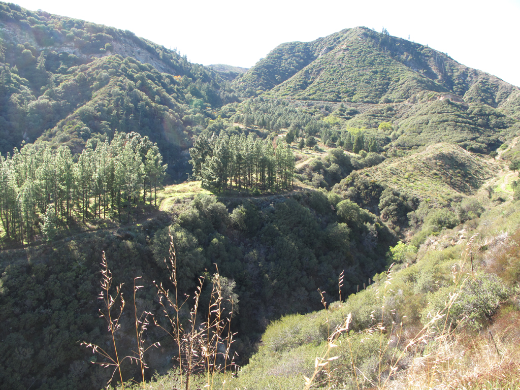
Interesting tree grove past the interpretive trail near the Bear Divide Ranger Station.
Image
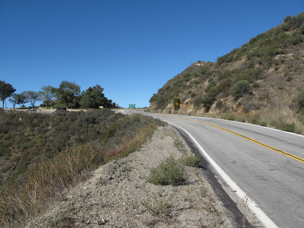
Jake took this picture as he neared Bear Divide Pic-a-nic Area, where he parked MY jeep.
Image
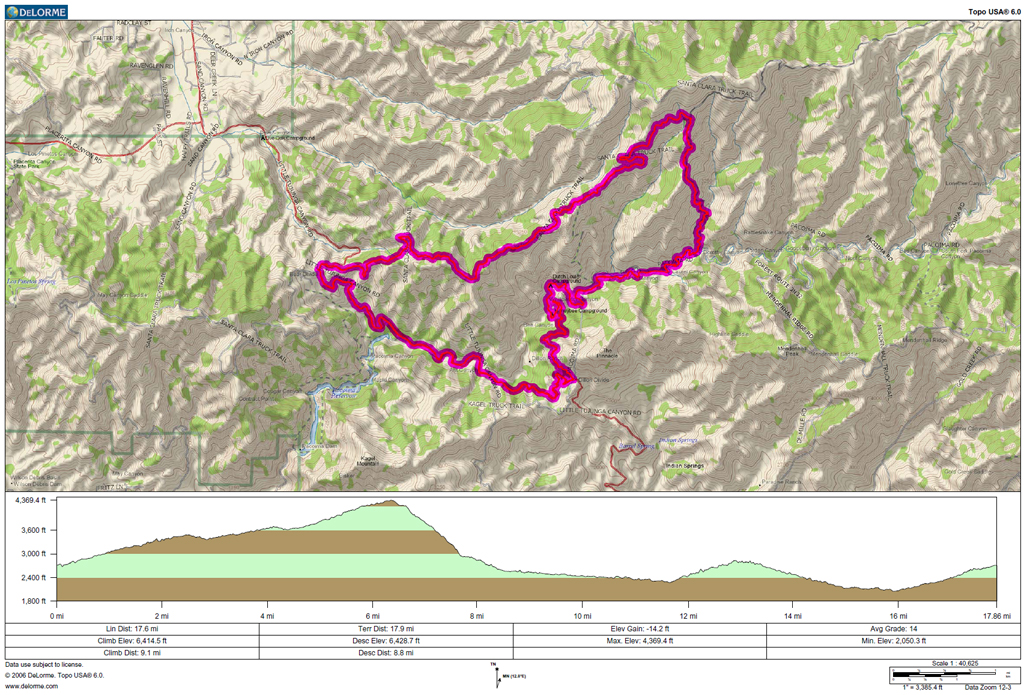
GPS track and elevation plot.
User avatar
Ze Hiker
Posts: 1430
Joined: Mon Jul 28, 2008 7:14 pm

Post by Ze Hiker »

Jake is such a bad boy!

I've never been in this area that both you and Matt just hiked in. I guess b/c it doesn't have any HPS peaks and isn't close, I've never gone. Looks cool. I bet a bunch of old trails around here.
User avatar
davantalus
Posts: 203
Joined: Mon Jun 08, 2009 9:09 am

Post by davantalus »

Nice report! Jake got some good pictures. Did he have a look in the mine at all?
User avatar
Elwood
Posts: 612
Joined: Fri Aug 15, 2008 5:23 pm

Post by Elwood »

He only looked in as far as he could see over the barbed wire. At first glance, all this mine's business is down the lined vertical shaft, depth indeterminate.

Image
Image
User avatar
cougarmagic
Posts: 1409
Joined: Wed May 07, 2008 5:21 pm

Post by cougarmagic »

Very nice - thanks for the report! Always good to see the bears are doing well.

Damn, that's a lot of irrigation.... :cry: well, hopefully they're gone for a while.

Pacoima canyon is quite nice. I would read about it in Robinson's book while looking for new places to check out, but never went there for years because I thought it would be boring. Not so!
User avatar
Uncle Rico
Posts: 1402
Joined: Thu Mar 20, 2008 7:48 pm

Post by Uncle Rico »

Decided to search for this TR Elwood after you mentioned that you'd visited Pacoima Canyon a few years back and had seen evidence of grow operations in the canyon. No doubt about it from your pics. With the continuing dry conditions these last couple of years, I wonder if growers' water sources have dried up. Have been you been back down since 2010?

Btw, that's quite the asphalt trek you did on that last leg of your journey.
User avatar
Phil B
Posts: 101
Joined: Wed Oct 03, 2007 12:47 pm

Post by Phil B »

Nice report and pictures, very descriptive, keep em coming.
Post Reply