

Trail Condition: Mostly very good. West end of the trail is fragile in spots due to missing vegetation. A few deadfalls to bypass on safe terrain. "Trail" from the saddle up Twin Peaks is as steep as ever.
Wildlife: Very sparse. One adult Mule Deer, several squirrels and chipmunks. A few bear tracks and small scat remains. Several deer tracks. Loads of small lizards, one big Skink.
Terrain: Roughly 33% to 45% of the south face of Waterman Mountain is singed, scorched or burned. There are still a lot of living trees to be found. Besides a few areas visible from Waterman, the north side of Twin Peaks appears unscathed. The trail and east summit show no damage whatsoever. There is substantial fire damage to trees surrounding the trail from Twin Peaks Saddle to the Waterman summit trail cutoff.
Water: Five of the springs or drainages between Three Points and the saddle were still flowing.
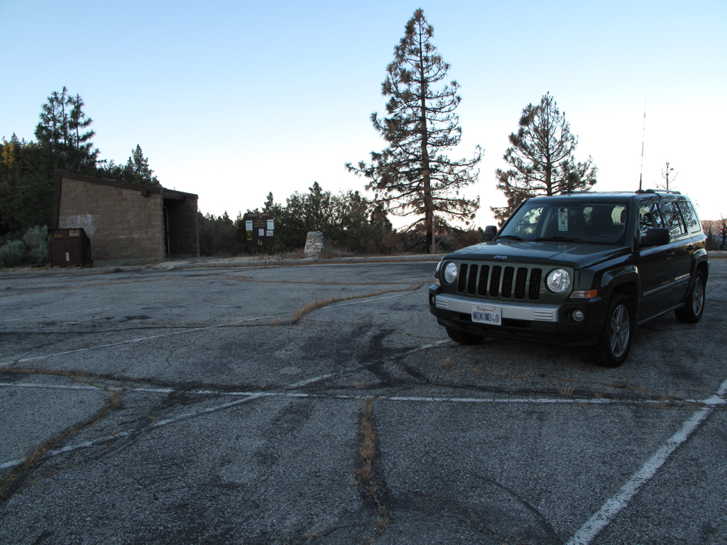
An empty Three Points parking lot at 0616, was the same at 1700.
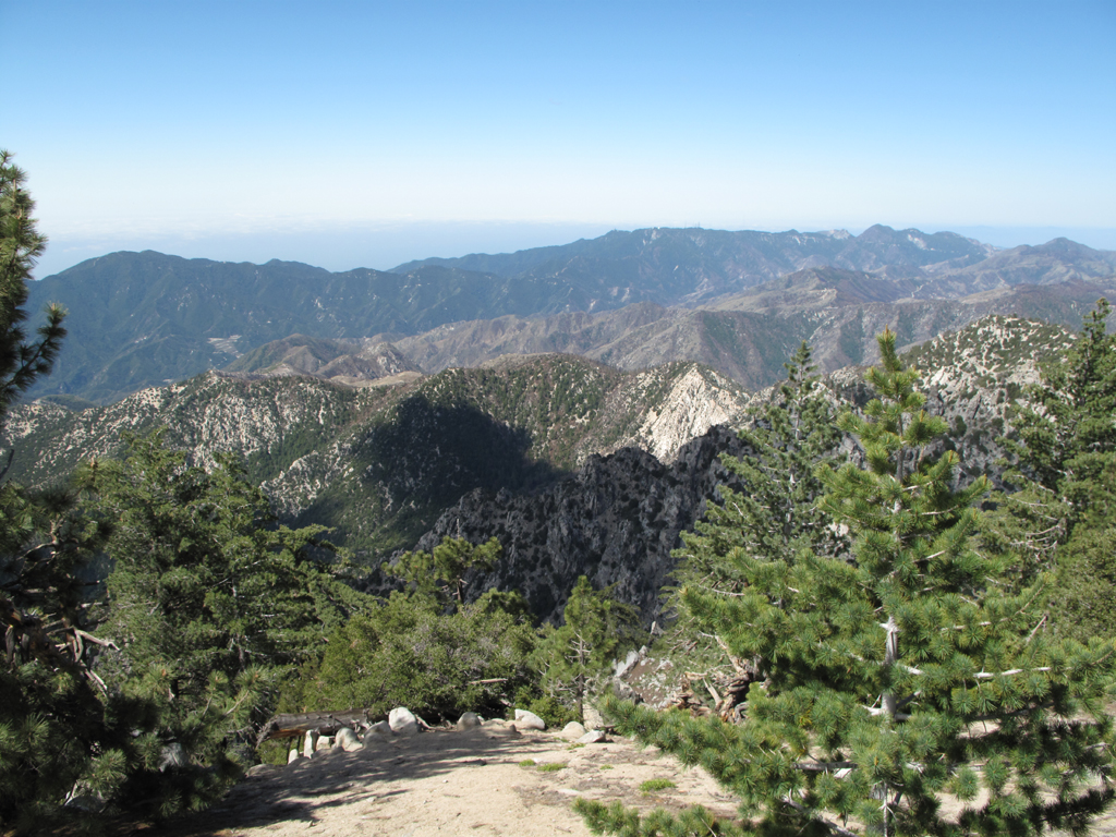
Waterman's shadow across Devil's Canyon.
Taking the morning sun for granite.
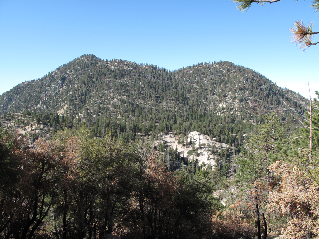
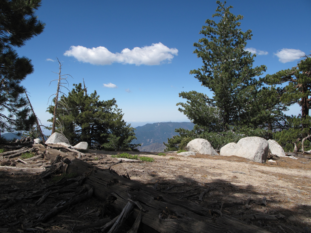
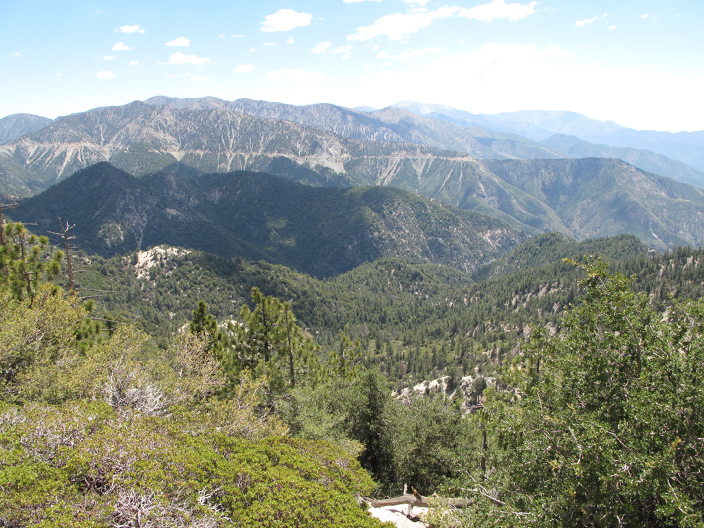
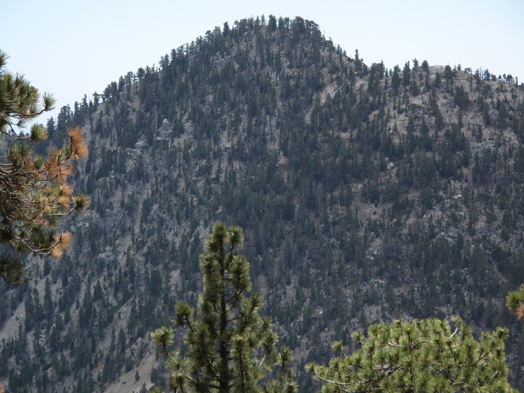
First destination of the day: Twin Peaks.
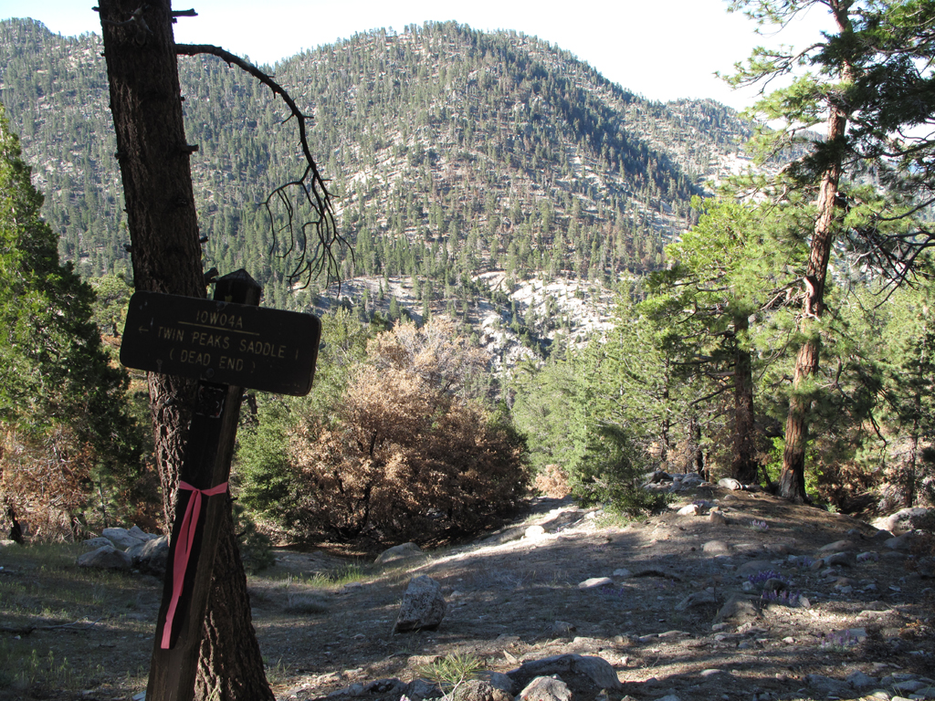
Twin Peaks Saddle from the Waterman Trail junction.
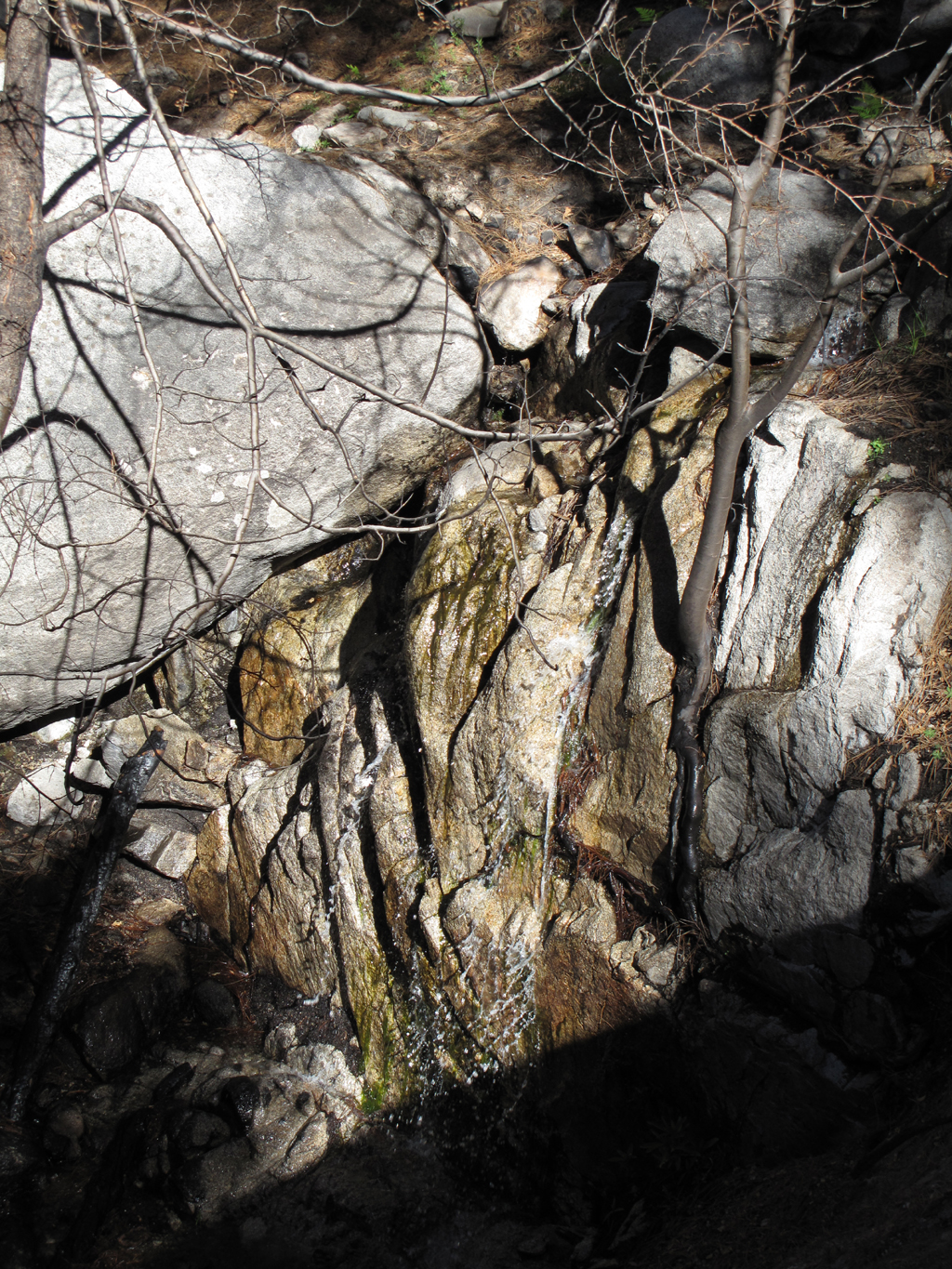
Little waterfall above Twin Peaks Saddle.
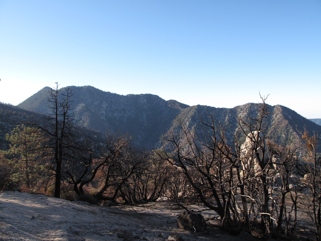
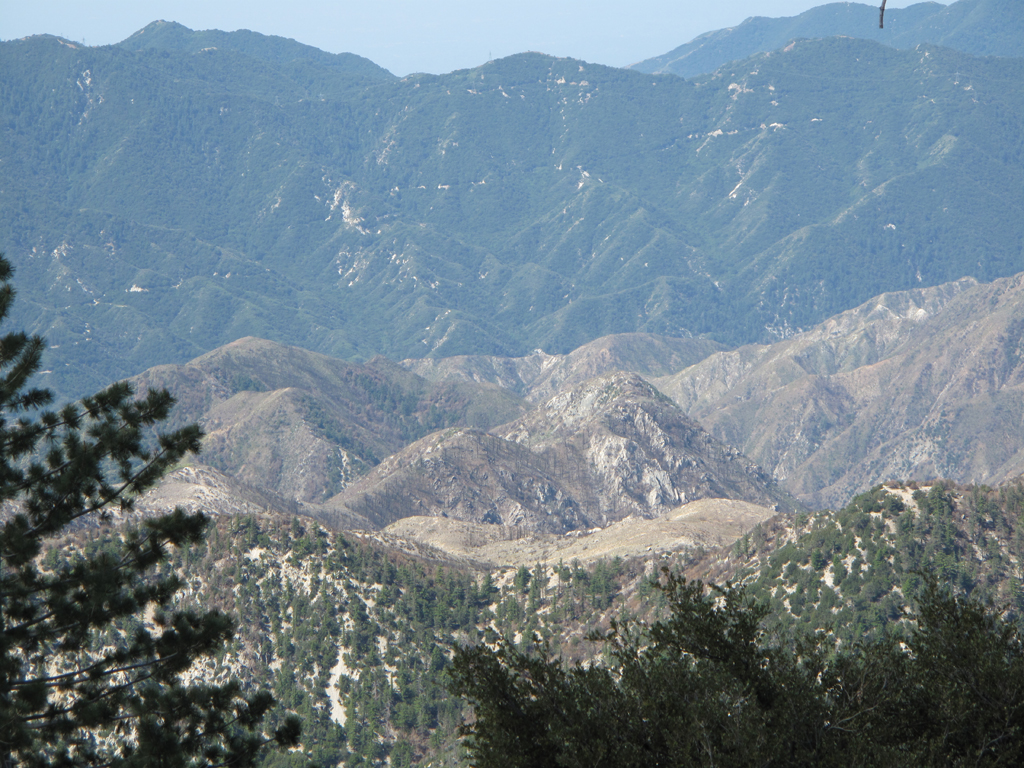
Twin Peaks and some of Waterman's singed trees.
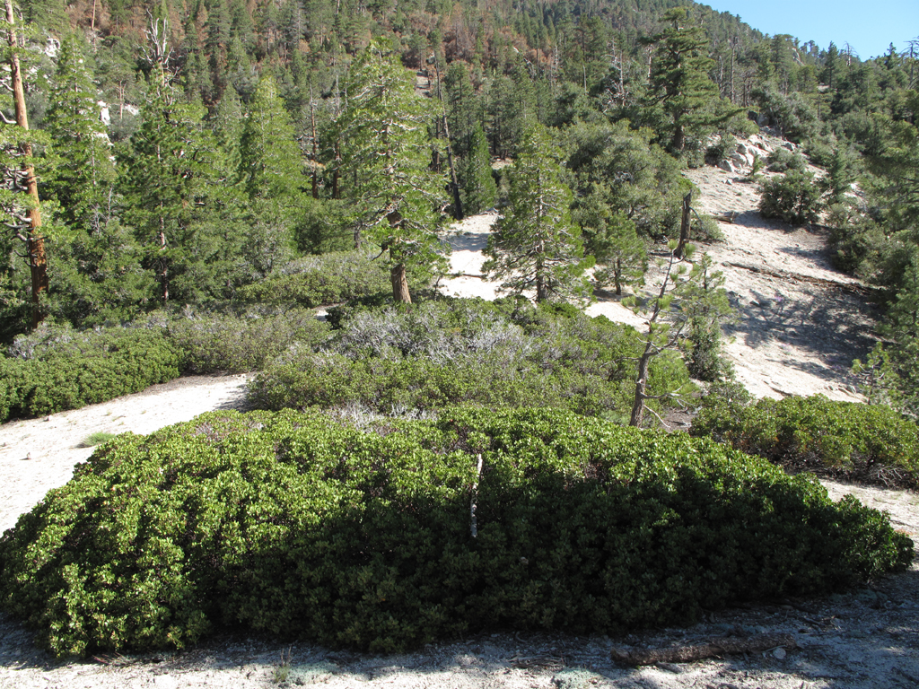
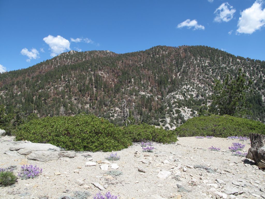
Manzanita, pines, cedars and friends on the saddle.
View towards Wilson from the east twin's summit.
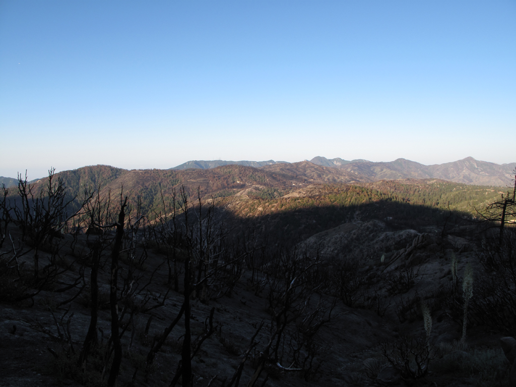
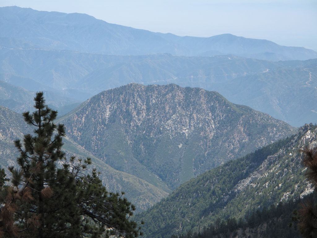
Burned terrain between Twin Peaks and Cogswell.
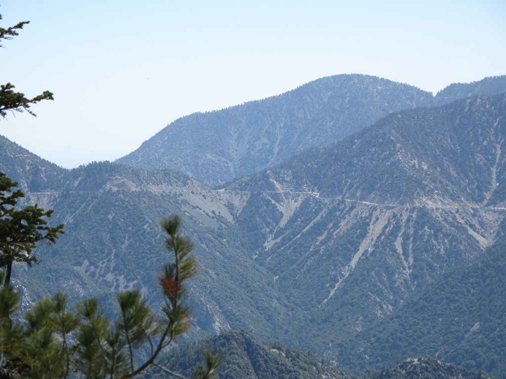
Islip Saddle, highways 2 and 39.
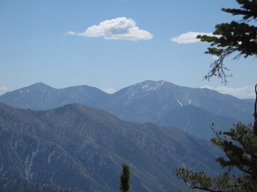
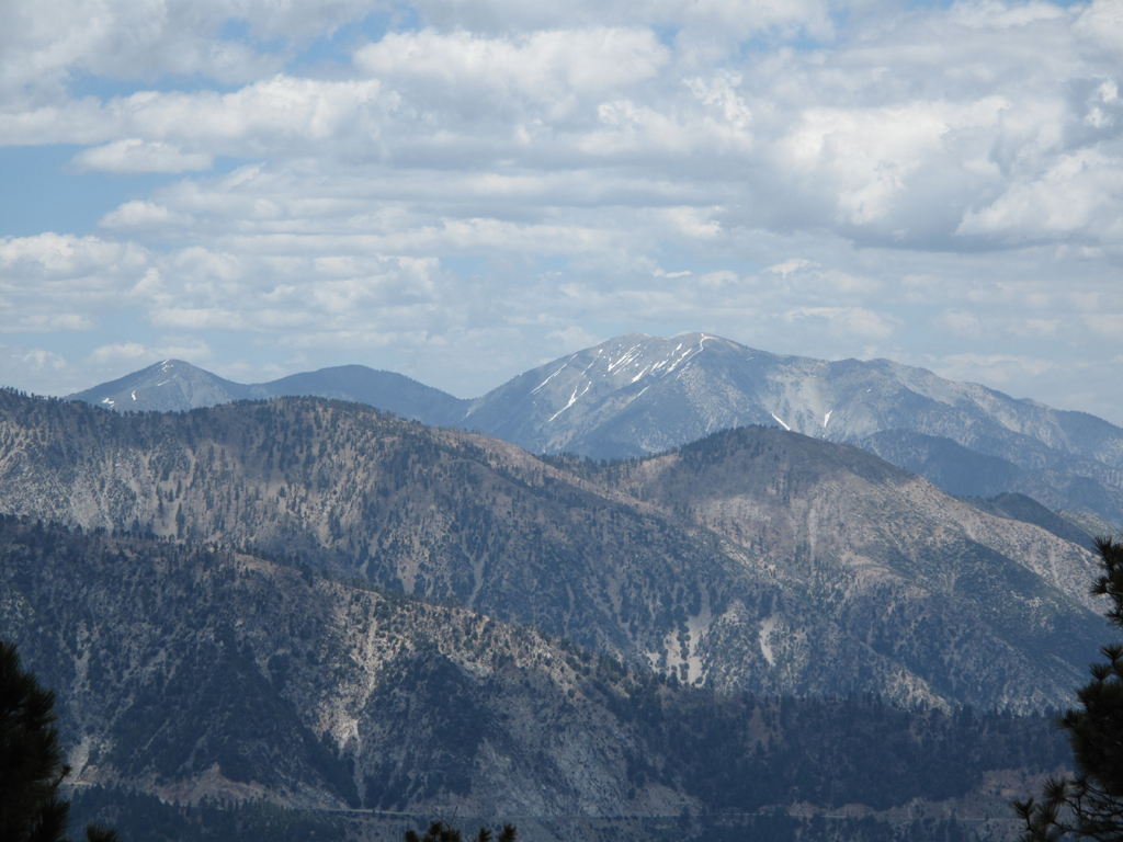
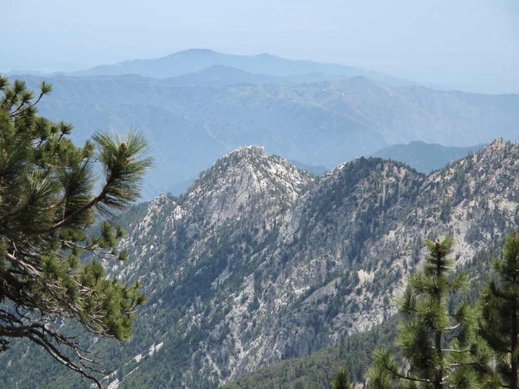
Pine, Dawson and Baldy.
East twin's summit.
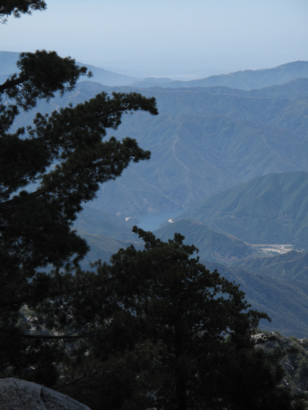
San Gabriel Reservoir, seen from the east twin.
Craggy ridge running south west from the twins.
"Skid marks" on the helipad above Twin Peaks Saddle.
The big Bear Creek drainage, Mt. Islip, the Hawkins', etc.
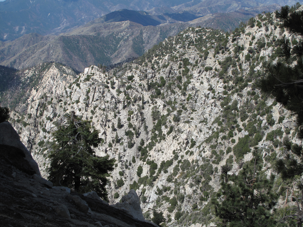
The south side of Waterman Mountain, showing scattered fire damage.
Mr. Smiff.
South Hawkins and Mt. Baldy.
Eastern peak of the twins.
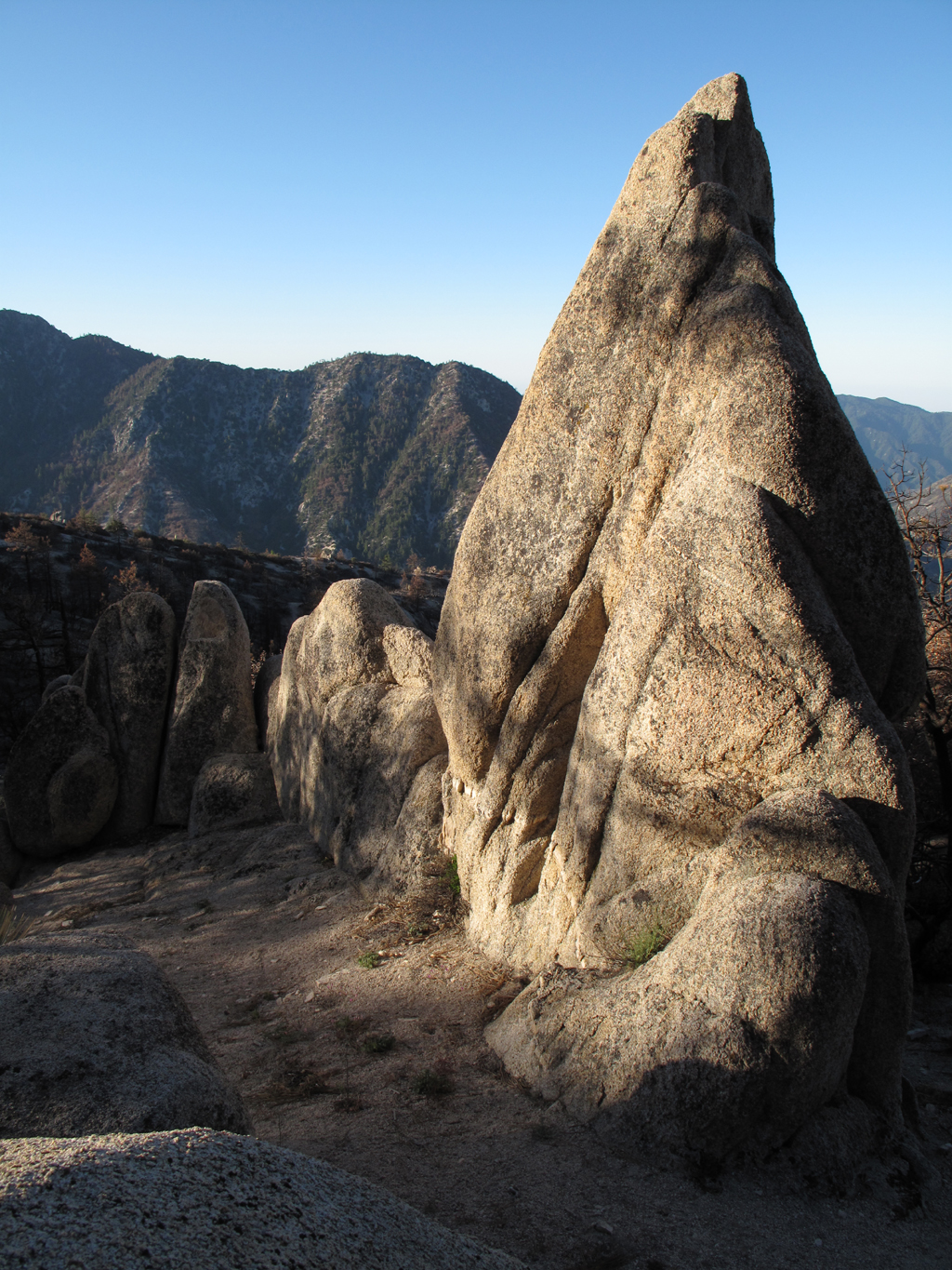
The elusive triplet rocks, down Twin's south east ridge.
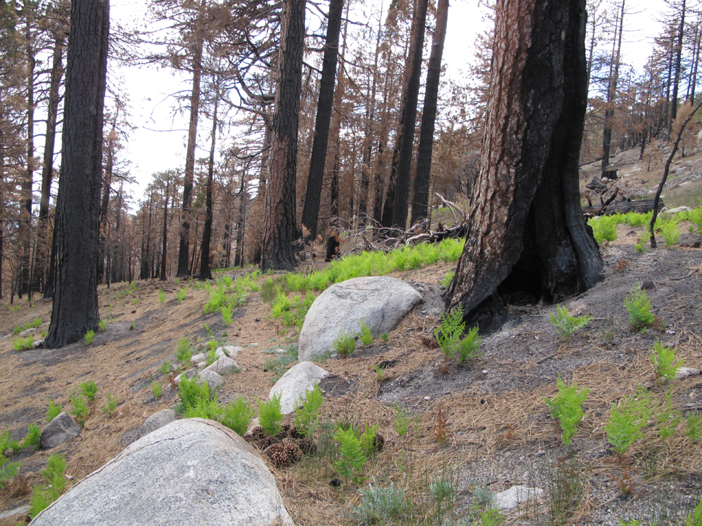
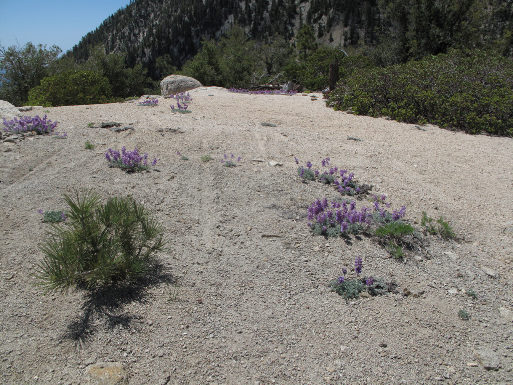
Ferns growing around the Waterman-Twin Peaks Trail.
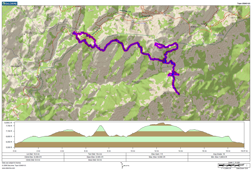
GPS track and elevation plot.


