Santiago Canyon - Pacifico Mountain

TRs for the San Gabriel Mountains.
Post Reply
User avatar
Elwood
Posts: 612
Joined: Fri Aug 15, 2008 5:23 pm

Post by Elwood »

This past Saturday was a glorious time to be hiking just about anywhere in the San Gabriel Mountains. My increasingly evil twin brother Jake was intrigued by the trail up to Pacifico Mountain from the end of Santiago Canyon Truck Trail (4N20). He decided to give it a go. Any resemblance to persons alive or dead are purely coincidental. Jake parked the car just outside the forest boundary and hoofed it up to the (at that time) closed gate at 4N20. He proceeded up along the well-used dirt road that services the shooting areas, then down the continuation into Santiago Canyon. Recent foot and vehicle traffic appeared to be virtually non-existent in the canyon. Jake took the obligatory off-route meander over a very steep bump east of the trail, then found his way once back at the flowing stream bed. He followed the stream up-canyon for a bit before taking the ridge that brought him to the Pacific Crest Trail, west of Pacifico's summits. Rather than risk uncertain footing on the snowy Crest Trail, he hiked the ridge line directly to the true summit on the upper campground. Jake was carefully spying the three major ridges to the east as he ascended, picking his return route. Following a rest and a couple of Clif Bars atop Pacifico, Jake donned crampons and axe, just in case there was still frozen stuff under the snowy north-facing ridge top. Unlike in many recovering areas of the Gabes, there was virtually no visible revegetation occurring on this ridge, even amongst the hardy manzanita and juniper. Perhaps it's too early in the season.

Image
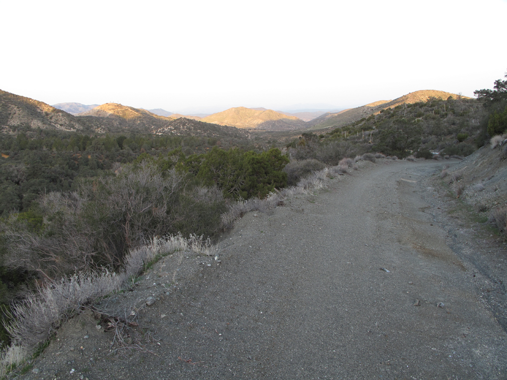
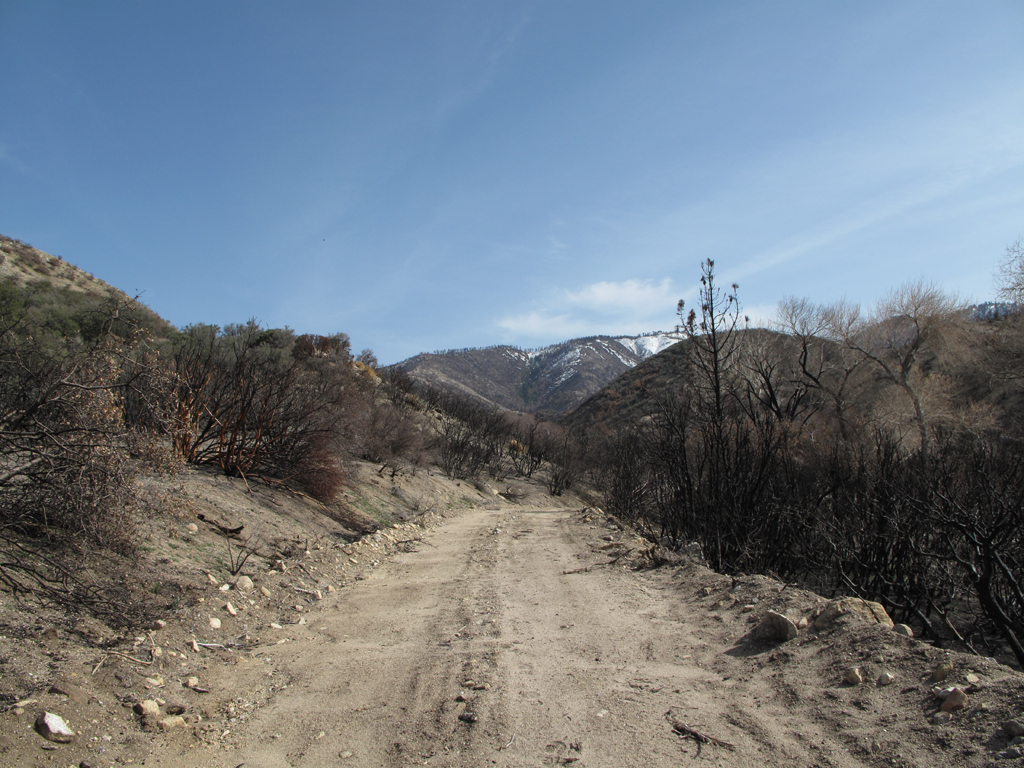
The view towards County Route N3 from Forest Service Road 4N20.

Image
Desert Marksman R&PC. Very cool looking range.

Image
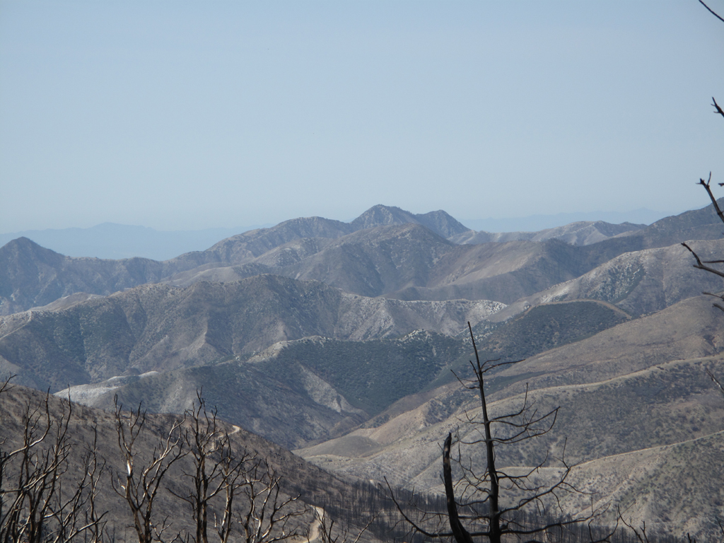
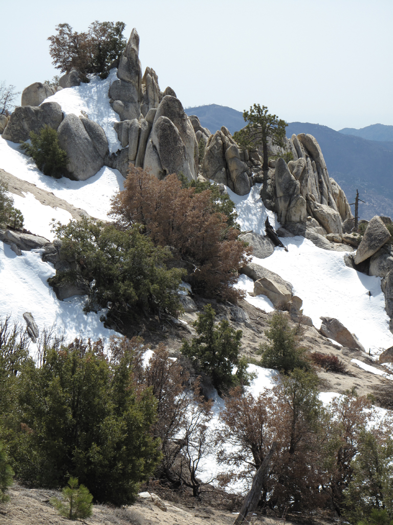
One of the ridges descending from Pacifico's summit, as seen from 4N20.

Image
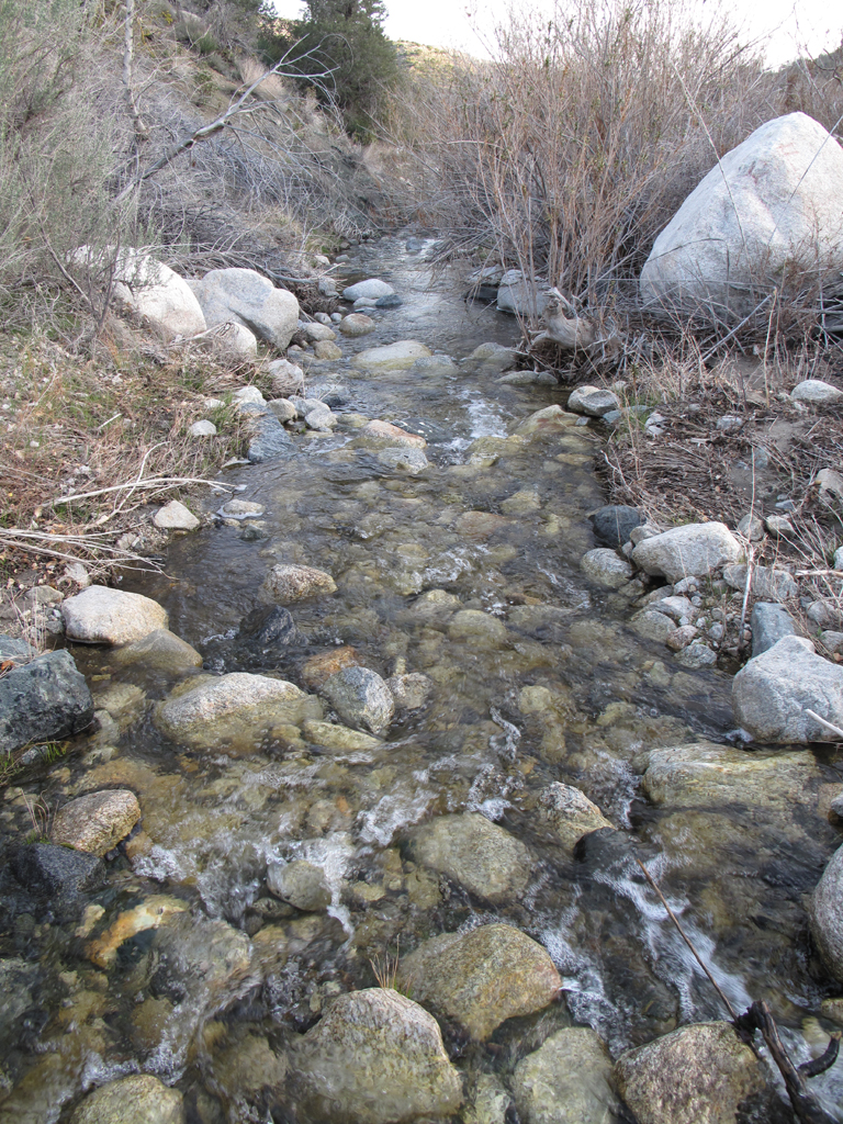
Santiago Canyon creek, flowing towards Little Rock.

Image
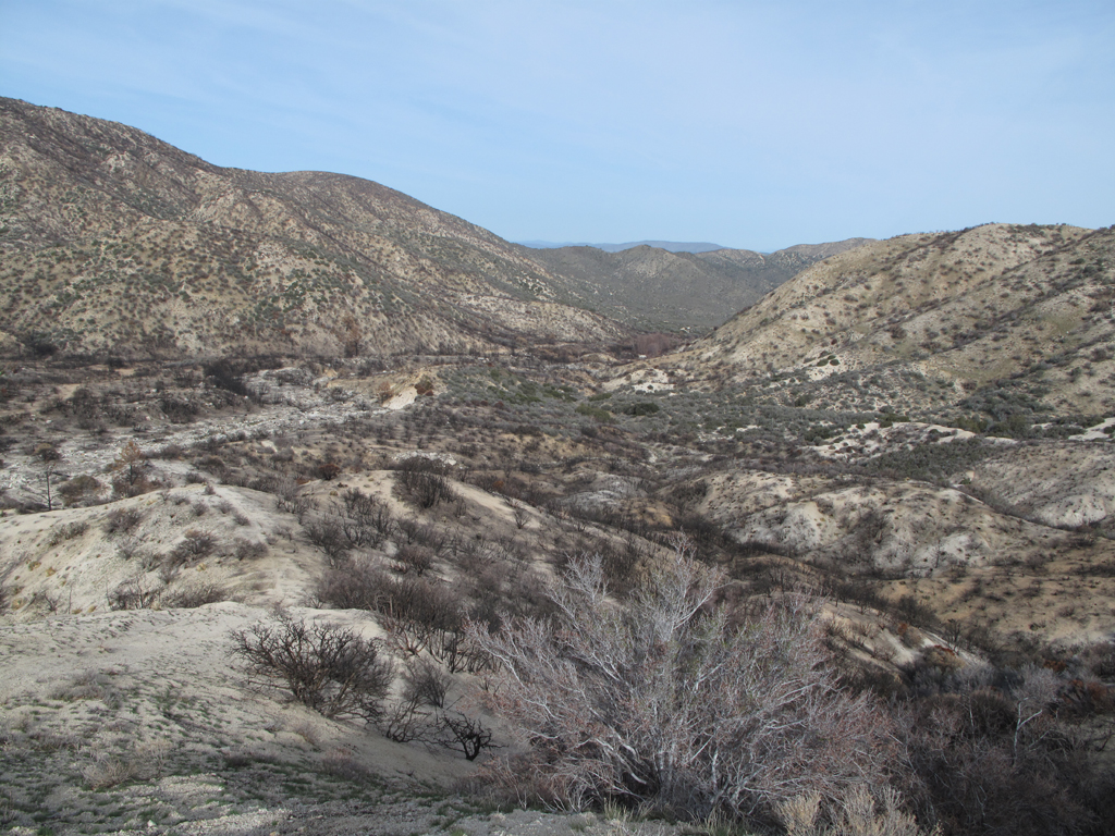
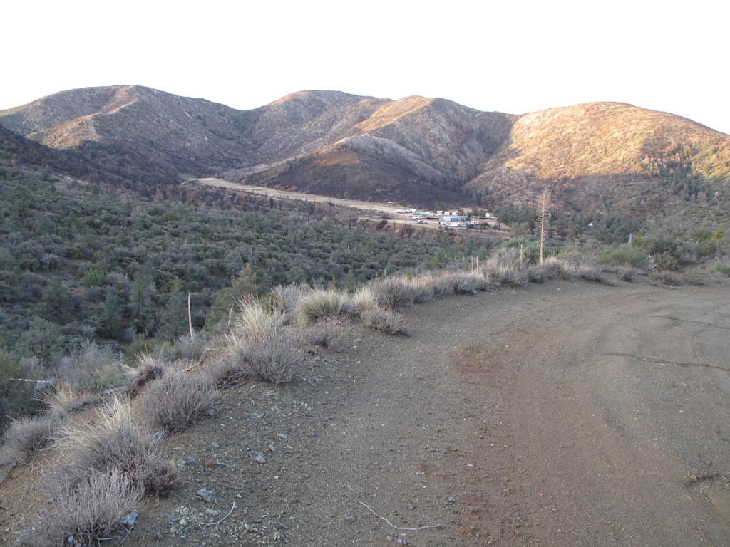
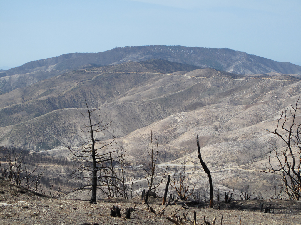
View down Santiago Canyon from a spot past roads-end. Note fire damage adjacent to 4N20.

Image
Ascending ridge above picture center carries the "trail" indicated on USGS topo map of the area.

Image
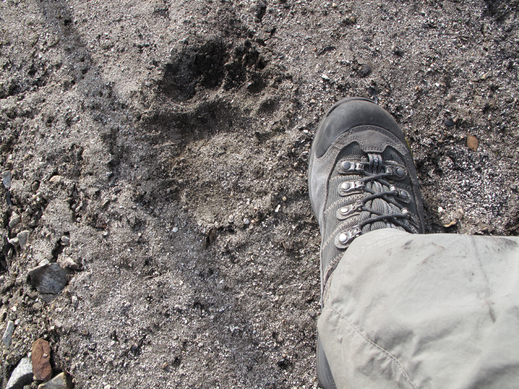
One of the biggest ursus americanus tracks that I've seen to date. It's unsmeared and the back of the heel is adjacent to the third set of eyelets on the boot. Would've loved to have seen this bear. If I was there, of course.

Image
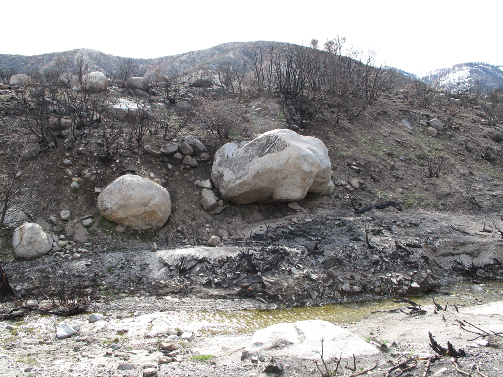
It's difficult to see in the picture how far this big boulder is protruding, and how precarious it is.

Image
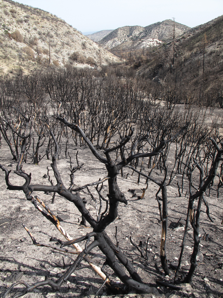
Burned manzanita stand, up Santiago Canyon.

Image
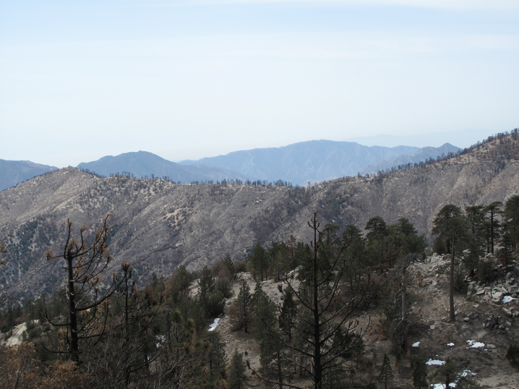
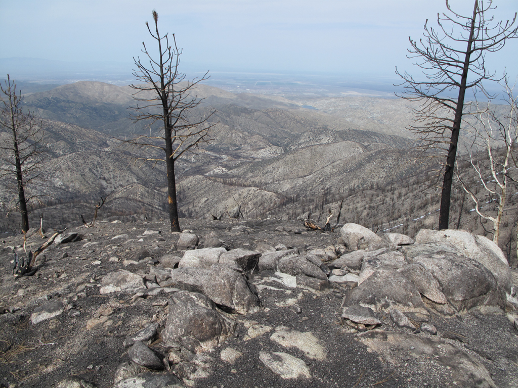
Looking towards Palmdale, over the western section of Pleasant View Ridge.

Image
Looking back towards Acton. That's Highway 14 way back in the distance.

Image
Strawberry, Josephine and the intervening hillsides.

Image
Mount Gleason hogback, Road, and the hillsides west of Mill Creek Summit.

Image
One of the lower summits on Pacifico Mountain.

Image
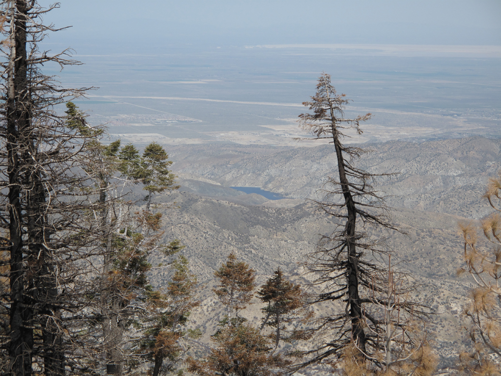
A very full looking Little Rock Reservoir, as seen from the top of Pacifico.

Image
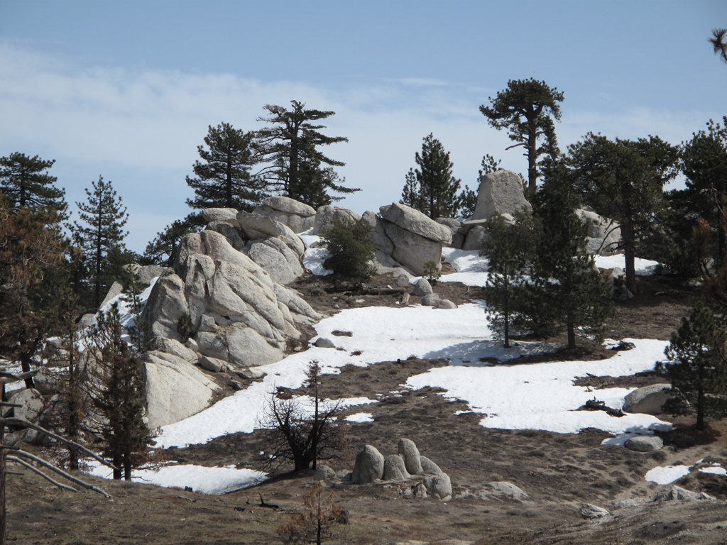
Pretty granite outcrop, scorched and unscathed shrubbery atop Pacifico Mountain.

Image
Roundtop brazier, with one of Pacifico's buttresses in the foreground.

Image
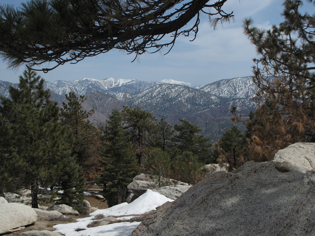
Inviting view of the San Gabriel high country from just below Pacifico Mountain's summit block; the one with the pole cemented into it.

Image
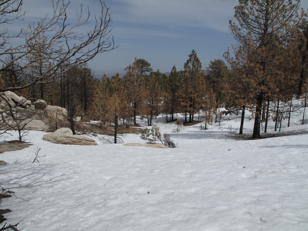
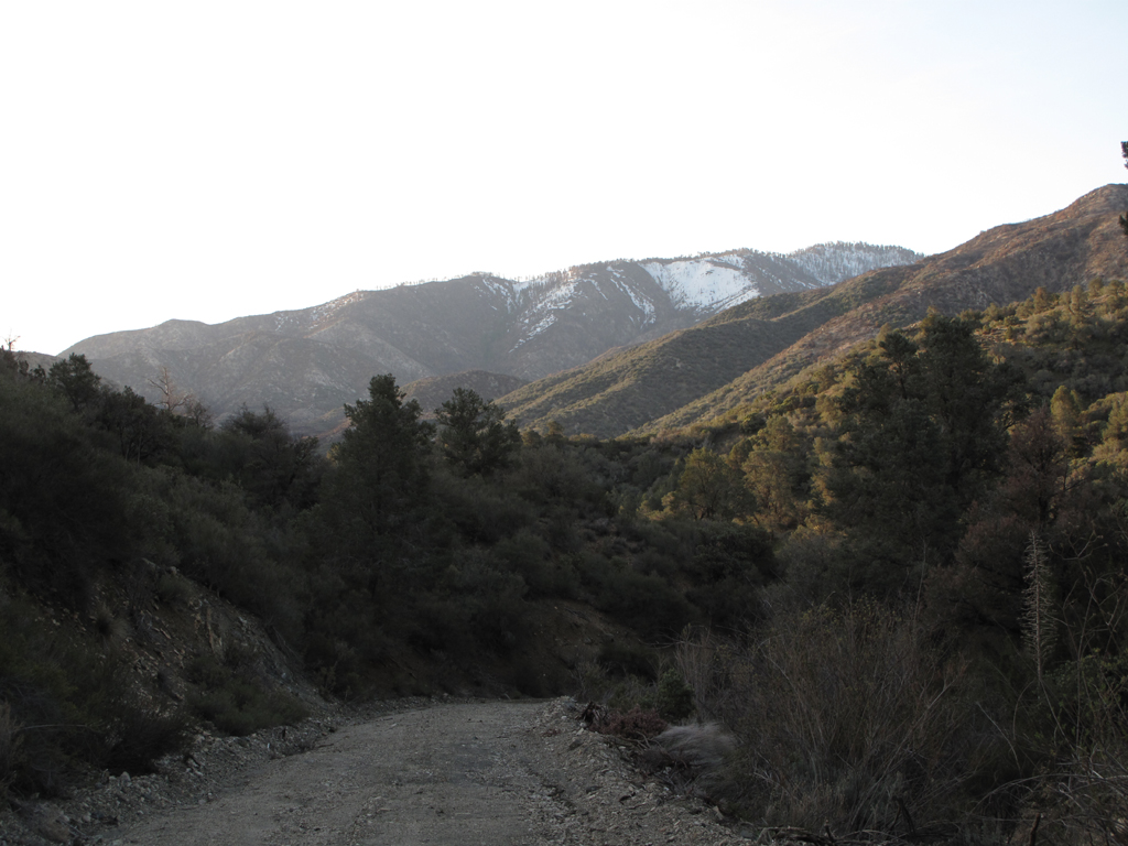
Snowy top of the ridge descended back to the floor of Santiago Canyon.

Image
A view a little farther down the ridge.

Image
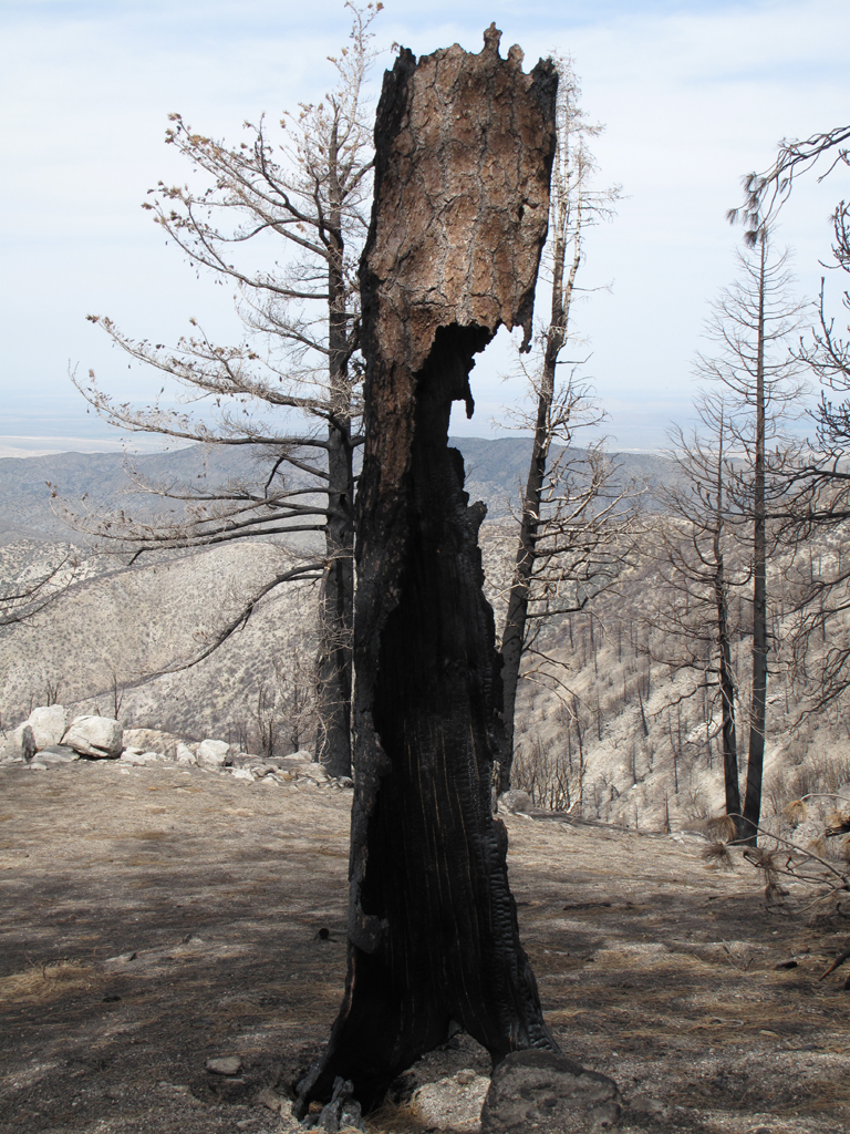
Interesting looking burned out trunk.

Image
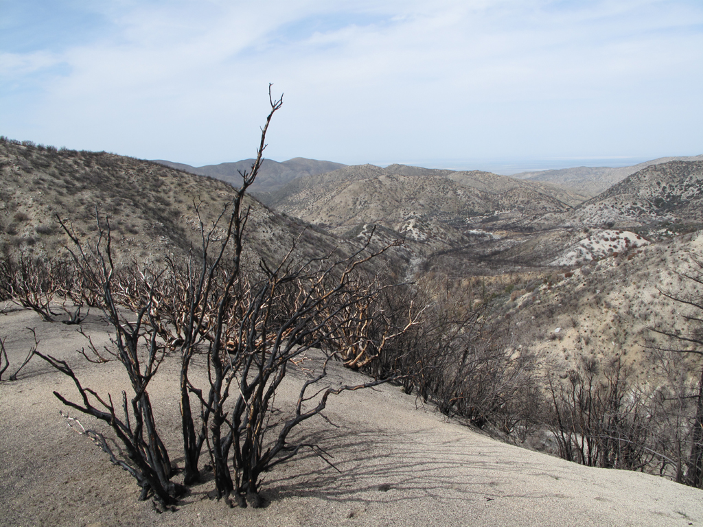
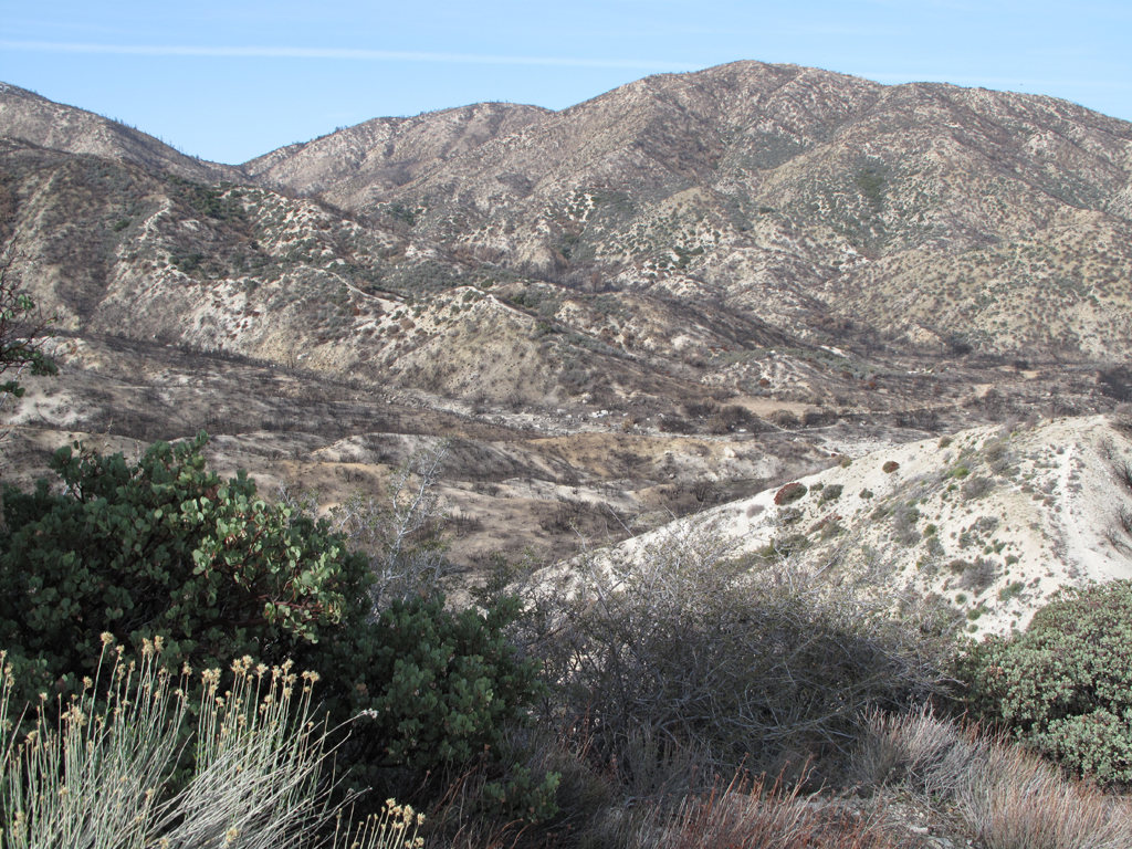
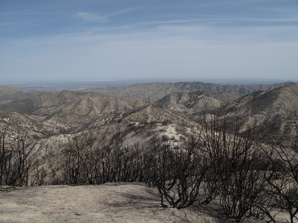
More manzanita and a view of last summer's devastation in Santiago Canyon.

Image
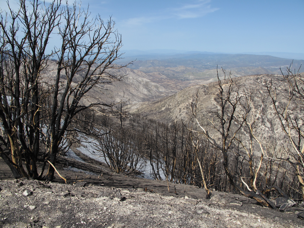
A last look back up the canyon, at the snow.

Image
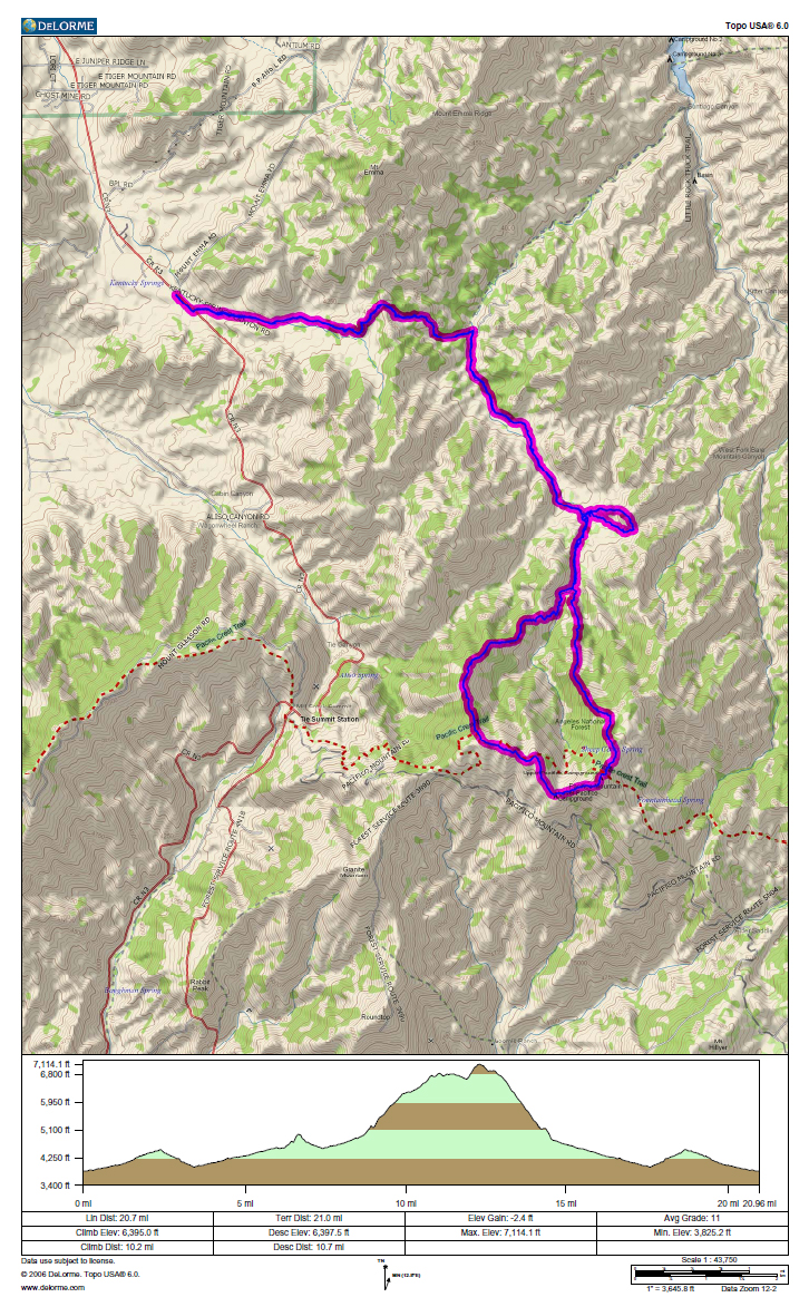
GPS track and elevation profile.
User avatar
cougarmagic
Posts: 1409
Joined: Wed May 07, 2008 5:21 pm

Post by cougarmagic »

8) Jake...

It's really nice to see Pacifico didn't get completely wrecked.

I noticed the same thing about certain areas not regrowing yet - in Lower Big T, vegetation is exploding - there's a nice sheen of green grass on almost everything, wildflowers blooming already, and the sumac and manzanita are busting out. But as you get farther up the road, there are still such big patches of moonscape. I can only guess the higher elevations are just not warm enough yet - it certainly got enough rainfall.

That sure is a big bear.... :shock: Gotta wonder what he's finding to eat.

Thanks for the report and pics.
User avatar
tinaballina
Posts: 182
Joined: Thu Jun 18, 2009 11:28 am

Post by tinaballina »

Great pics and tr...it was beautiful this weekend.
User avatar
He219
Posts: 386
Joined: Thu Sep 27, 2007 11:18 pm

Post by He219 »

Beautiful pix and TR, Elwood! The burn images are surreal.
That black bear print would look great cast in plaster ...
Cheers-
:)
User avatar
norma r
Posts: 707
Joined: Thu Nov 06, 2008 4:22 pm

Post by norma r »

Beautiful photos! :D Loved the bear track. I too would like to see a bear while out in the wilderness. So far i have only seen them on the roadside, in parking lots & breaking into cars. doesn't count!! :( but seeing their tracks is always cool.
User avatar
lilbitmo
Posts: 1092
Joined: Tue Mar 04, 2008 9:44 pm

Post by lilbitmo »

My increasingly evil twin brother Jake was intrigued by the trail up to Pacifico Mountain from the end of Santiago Canyon Truck Trail (4N20).
Let your evil twin know that I like his pictures. :D It’s been too long since I hiked through that area on the PCT in 2007. Hope it starts recovering real soon.

I’m not sure I would want to meet that bear in that area when he was hungry, :shock: I might move down the food chain way to quickly.

Nice work – Evil Jake
:lol:
User avatar
Kit Fox
Posts: 152
Joined: Tue Dec 25, 2007 11:33 am

Post by Kit Fox »

Are the gates past Desert Marksmen still locked?

This entire area was closed to all forms of access thanks to the Center for Biological Diversity's lawsuit against the USFS back in 97. I'm still pissed about the closure because it took away my favorite spots to hike legally.
User avatar
TracieB
Posts: 216
Joined: Mon Feb 22, 2010 8:57 am

Post by TracieB »

Great photos Elwood! Thank you for posting!
User avatar
Elwood
Posts: 612
Joined: Fri Aug 15, 2008 5:23 pm

Post by Elwood »

Thanks for all the kind words, I'll be sure to relay them or get Jake to request his own darned SGMDF login. The gate just past Desert Marksman's access road is indeed locked. Apparently there was a separate chain-link fence erected past this gate, which has been knocked down, similar to that near Pinyon Flats on 5N04.4.
User avatar
AW~
Posts: 2040
Joined: Mon Oct 01, 2007 12:00 pm

Post by AW~ »

Well tell Jake he certainly can eat up distance hikes and just spit em out..nice job! He wouldnt have seen a tallish climbing crag on Pacifico?
User avatar
Taco
Snownado survivor
Posts: 6010
Joined: Thu Sep 27, 2007 4:35 pm

Post by Taco »

That might be one of the 600m ranges. Super neat.
Post Reply